The best walks and hikes around Quérigut
4.6
(871)
8,692
hikers
147
hikes
Hiking around Quérigut offers diverse trails within the Ariège department of the Occitanie region, set in the Pyrenees mountains. The terrain features significant elevation changes, numerous high-altitude lakes such as Étang de Laurenti and Étang de Quérigut, and dense forests. This area is part of the Ariège Pyrenees Regional Natural Park, providing a preserved natural landscape for exploration. The region is characterized by mountainous terrain, high-altitude lakes, and dense forests.
Best hiking trails around Quérigut
- The most popular hiking route…
Last updated: July 22, 2026
5.0
(8)
82
hikers
10.3km
05:07
800m
800m
Hard hike. Very good fitness required. Mostly accessible paths. Sure-footedness required.
4.3
(6)
53
hikers
14.6km
06:23
940m
940m
Hard hike. Very good fitness required. Mostly accessible paths. Sure-footedness required.

Sign up for free
5.0
(4)
35
hikers
3.03km
01:00
150m
150m
Easy hike. Great for any fitness level. Easily-accessible paths. Suitable for all skill levels.
4.3
(4)
40
hikers
8.43km
03:13
390m
390m
Moderate hike. Good fitness required. Mostly accessible paths. Sure-footedness required.
4.0
(3)
21
hikers
10.8km
03:50
650m
640m
Moderate hike. Good fitness required. Easily-accessible paths. Suitable for all skill levels.
Get access to more routes and recommendations from other explorers.
Sign up for free
Already have an account?
Our route recommendations are based on thousands of hikes, rides, and runs completed by other people on komoot.
Start today with a free account
Your next adventure awaits.
Login or Signup


Tips from the Community

Beautiful free refuge located in a lovely setting.
0
0
Pass above Lake Laurenti with spectacular views. The great effort required to climb it is worth it.
0
0

Beautiful but very busy in the summer The road to the parking lot is a forest path
0
0

Like the reflection of the sun on water, your eyes will sparkle with a thousand lights. A magnificent place, let's protect and share it
0
0

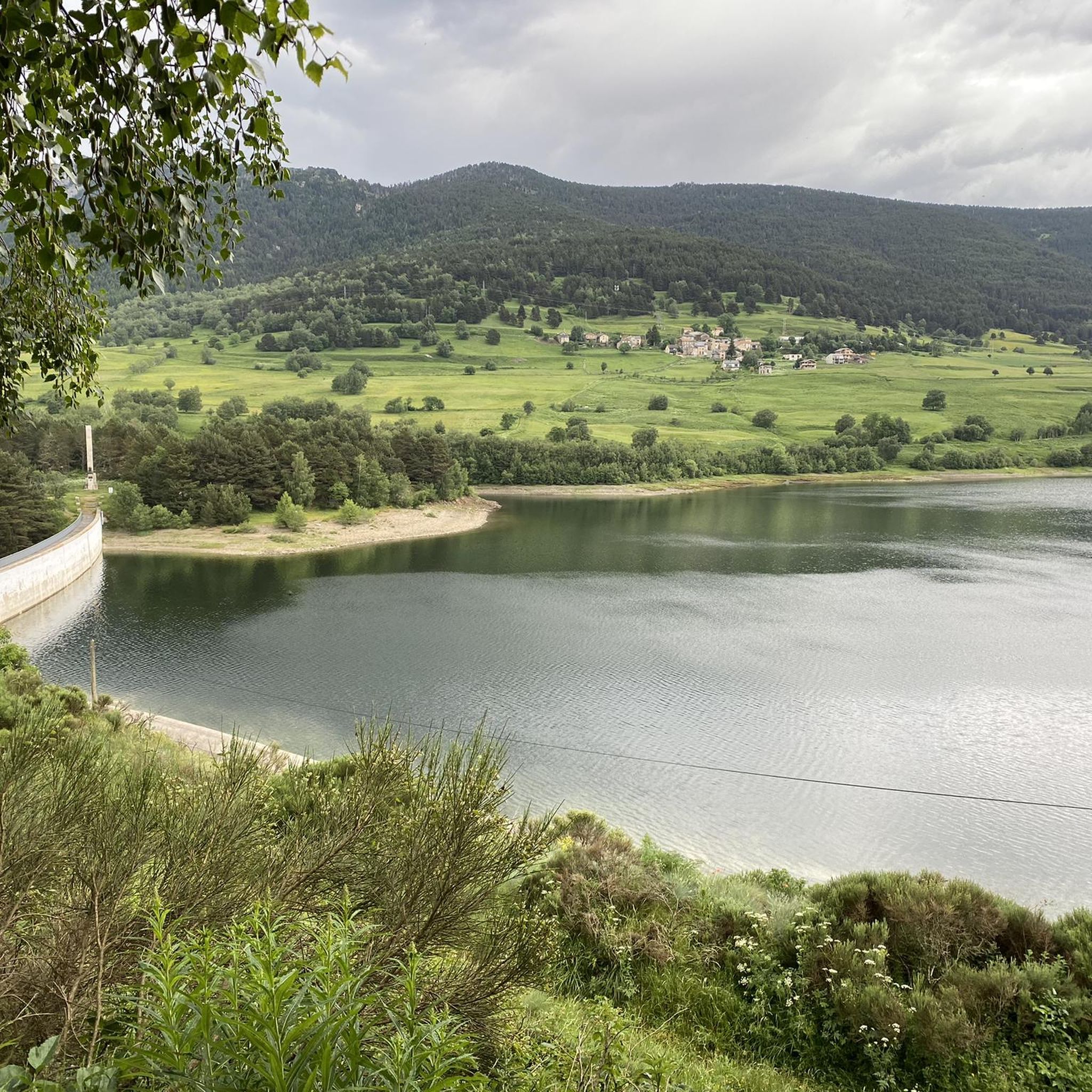
It is said that water from this small artificial lake was used for the ski slope when it was still in operation. In winter, it usually freezes, creating a beautiful scene with the surrounding snow-covered trees. Swimming is not allowed.
1
0
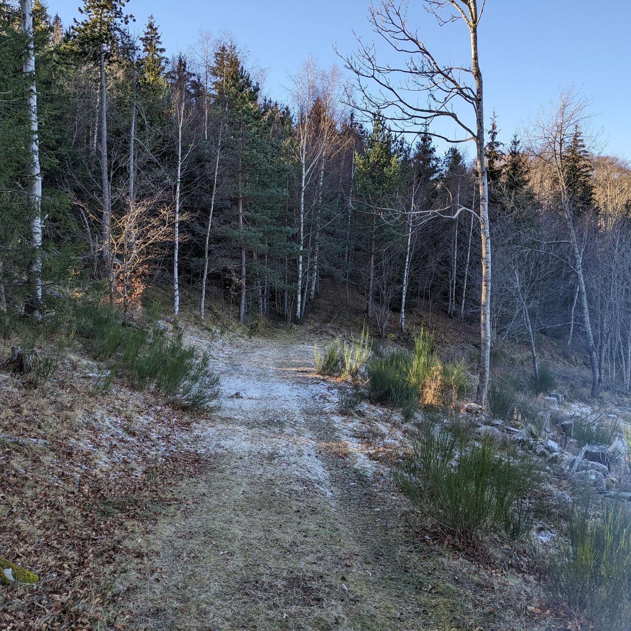
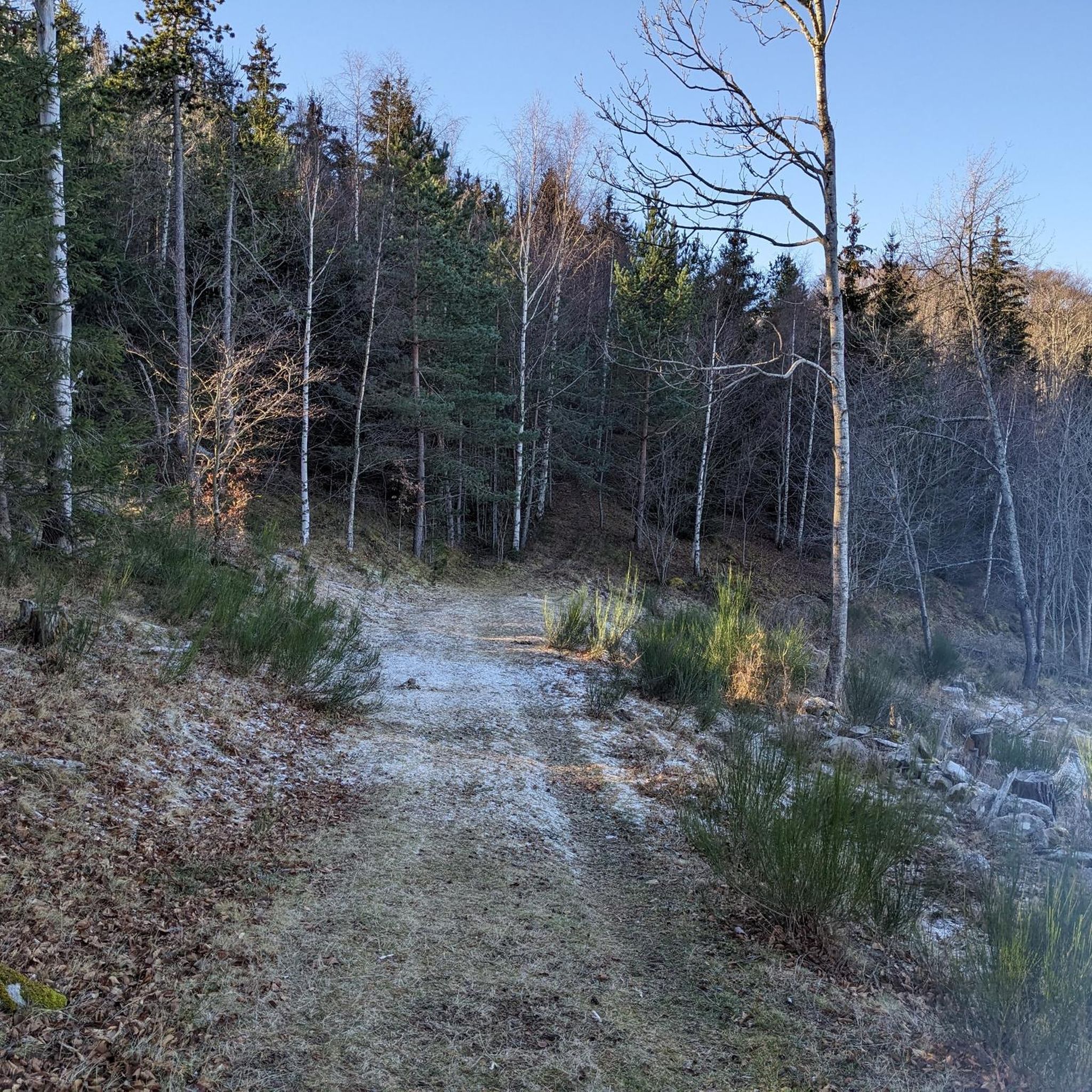
From this point at Puyvalador station, the Rhododendron trail begins, perfect for enjoying a walk through the forest as you gain altitude. Further up, you reach a small artificial lake, and if desired, you can continue along the trails to higher elevations. It's easy to find parking very close to the starting point.
1
0
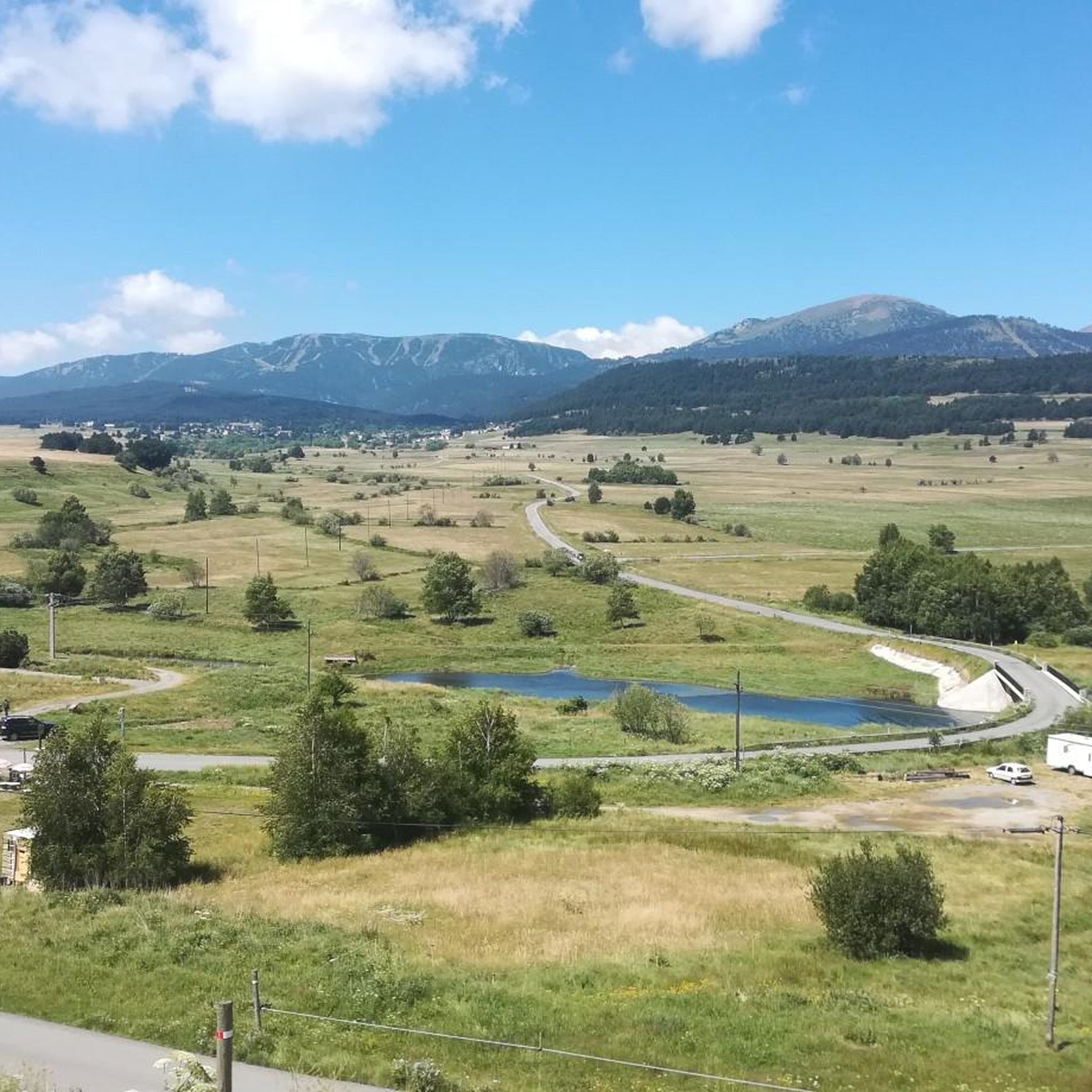
This 2,382 meter high peak was the highest point of the now closed Puyvalador ski resort. The views from the top of the Laurenti and Roc Blanc area are incredible and there are several ways to go up, varying depending on the slope you want when going up and down. Very close to the top there is a small aid hut where it is possible to take shelter. It is also an ideal peak to climb with snowshoes in winter, when it is all snowy.
1
0
Frequently Asked Questions
How many hiking trails are available around Quérigut?
There are over 140 hiking trails around Quérigut, offering a wide range of options from easy walks to challenging mountain treks. The area is known for its diverse terrain, including high-altitude lakes and dense forests.
Are there easy hiking trails suitable for beginners or families in Quérigut?
Yes, Quérigut offers a good selection of easier trails. There are 35 easy routes, perfect for beginners or families looking for a less strenuous experience. These often explore the scenic areas around the local ponds and forests.
Can I find circular hiking routes in Quérigut?
Absolutely. Many trails in Quérigut are designed as loops, allowing you to start and end at the same point. For example, the Laurenti Lake – Laurenti Pond loop from Étang de Laurenti is a moderate 6.1 km path that explores the beautiful surroundings of Étang de Laurenti.
What kind of natural features and landmarks can I expect to see on hikes around Quérigut?
Quérigut is rich in natural beauty. You'll encounter stunning mountain scenery, numerous high-altitude lakes like Étang de Laurenti and Étang de Quérigut, and dense forests. Notable mountain passes such as Pailhères Pass and Col de la Creu offer panoramic views. The region is also part of the Ariège Pyrenees Regional Natural Park, preserving its wild environment.
Are there any challenging hikes for experienced trekkers?
Yes, Quérigut is an excellent destination for experienced hikers. There are 37 difficult routes, many involving significant elevation gain and rugged terrain. An example is the Roc Blanc via Laurenti Pond Trail, a challenging 10.3 km route with over 800 meters of ascent, offering rewarding panoramic views.
What do other hikers say about the trails in Quérigut?
The trails in Quérigut are highly regarded by the komoot community, with an average rating of 4.6 stars from over 890 reviews. Hikers often praise the stunning mountain scenery, the tranquility of the high-altitude lakes, and the well-preserved natural environment of the Ariège Pyrenees Regional Natural Park.
Is Quérigut a good destination for hiking in autumn?
The region around Quérigut, particularly the Donezan area, is especially beautiful in autumn. The forests display vibrant colors, making it an ideal time for scenic walks. The moderate 17.18 km walk from Puyvalador to the Quérigut Pond is noted for its autumn beauty.
Are there any refuges or places to stop for refreshments along the trails?
Yes, some routes pass by refuges. For instance, the Refuge d'Oller – View of the Pyrénées Catalanes loop from Puyvalador leads to the Refuge d'Oller, which offers privileged views. The En Beys Refuge is another option in the wider area.
What is the best way to access the trailheads in Quérigut?
Access to trailheads in Quérigut is primarily by car, with parking available at common starting points like Étang de Laurenti or Puyvalador. Public transport options are limited in this mountainous region, so planning your journey by car is generally recommended for flexibility.
Are there any specific trails that offer views of the Pyrénées Catalanes?
Yes, the Refuge d'Oller – View of the Pyrénées Catalanes loop from Puyvalador is specifically highlighted for offering privileged views of the Pyrénées Catalanes, as well as areas like Puyvalador and its lake.
Are dogs allowed on the hiking trails in Quérigut?
The Ariège Pyrenees Regional Natural Park, which encompasses Quérigut, generally welcomes dogs on trails, often requiring them to be on a leash to protect wildlife and livestock. It's always advisable to check specific trail regulations or local signage, especially in protected areas or near grazing animals.
What is the highest point I can reach on a hike in Quérigut?
While specific peak names vary, the region is part of the Pyrenees, with passes like the Col de Pailhères exceeding 2,000 meters. Many challenging routes, such as the Roc Blanc via Laurenti Pond Trail, lead to high-altitude viewpoints offering extensive mountain vistas.
Most popular attractions around Quérigut

Get inspired with the komoot mobile app


Explore more
Browse the best Hikes in other regions.
