The best mountain hikes around Gudo
4.7
(20)
176
hikers
5
hikes
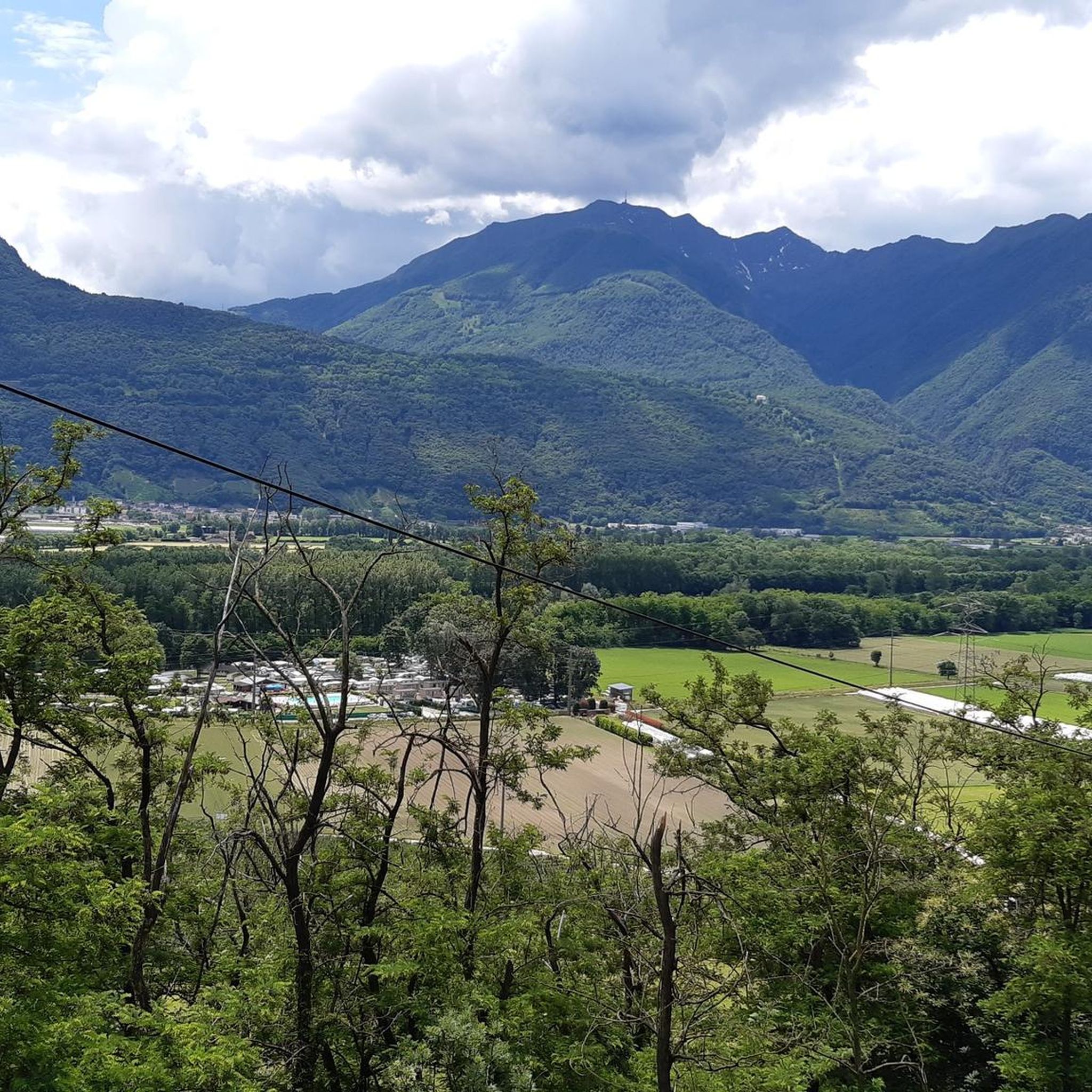
Mountaineering routes around Gudo, a former municipality now part of Bellinzona in Ticino, Switzerland, offer diverse and challenging alpine experiences. The region is characterized by its mountainous landscape, transitioning from the Alps to a more Mediterranean environment, providing varied terrain for ascents and panoramic views. Mountaineers can expect demanding routes with significant elevation changes, often requiring good fitness and alpine experience.
Best mountaineering routes around Gudo
- The most popular mountaineering route is Pond with picnic benches loop from Circolo di…
Last updated: July 11, 2026
4.9
(14)
128
hikers
5.48km
02:35
440m
440m
Hard mountaineering route. Good fitness required. Sure-footedness, sturdy shoes and alpine experience required.
4.0
(2)
12
hikers
9.56km
04:28
690m
690m
Hard mountaineering route. Good fitness required. Sure-footedness, sturdy shoes and alpine experience required.

Sign up for free
16
hikers
Hard mountaineering route. Good fitness required. Sure-footedness, sturdy shoes and alpine experience required.
5.0
(1)
7
hikers
6.39km
03:19
530m
520m
Moderate mountaineering route. Good fitness required. Mostly accessible paths. Sure-footedness required.
5.0
(3)
8
hikers
Moderate mountaineering route. Good fitness required. Mostly accessible paths. Sure-footedness required.
Our route recommendations are based on thousands of hikes, rides, and runs completed by other people on komoot.
Start today with a free account
Your next adventure awaits.
Login or Signup
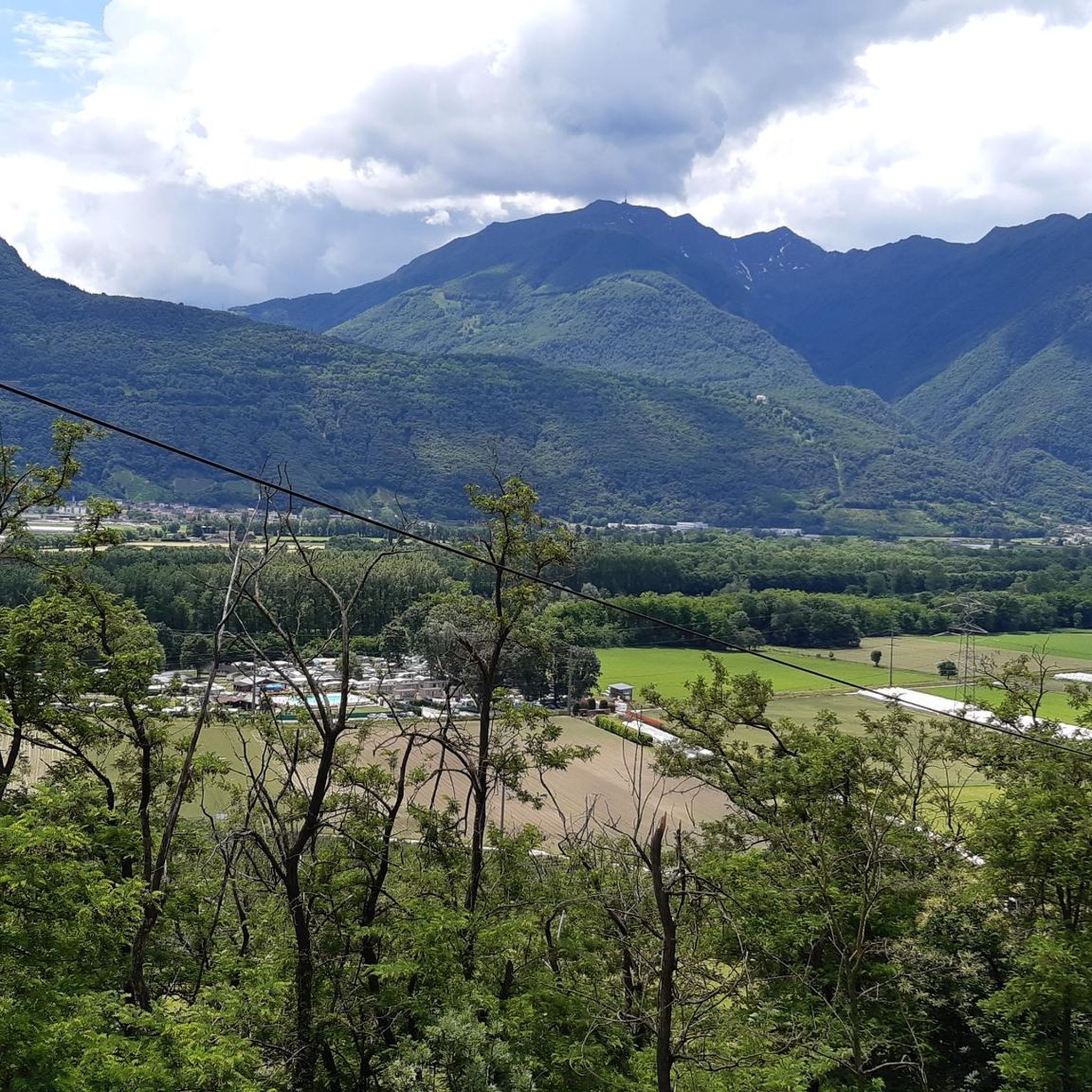
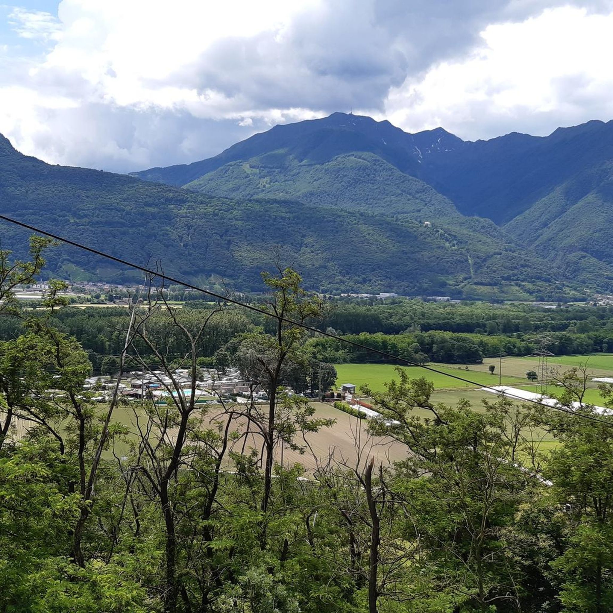
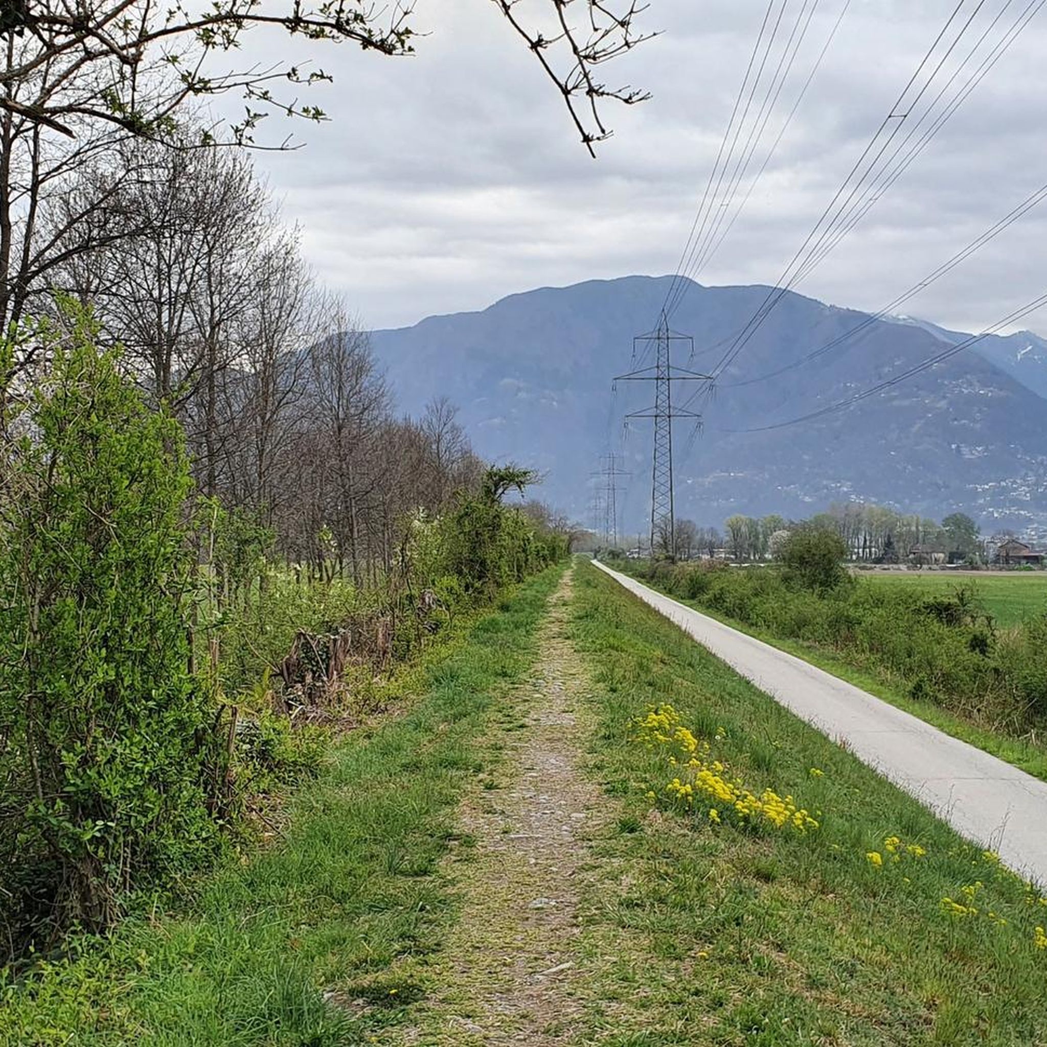
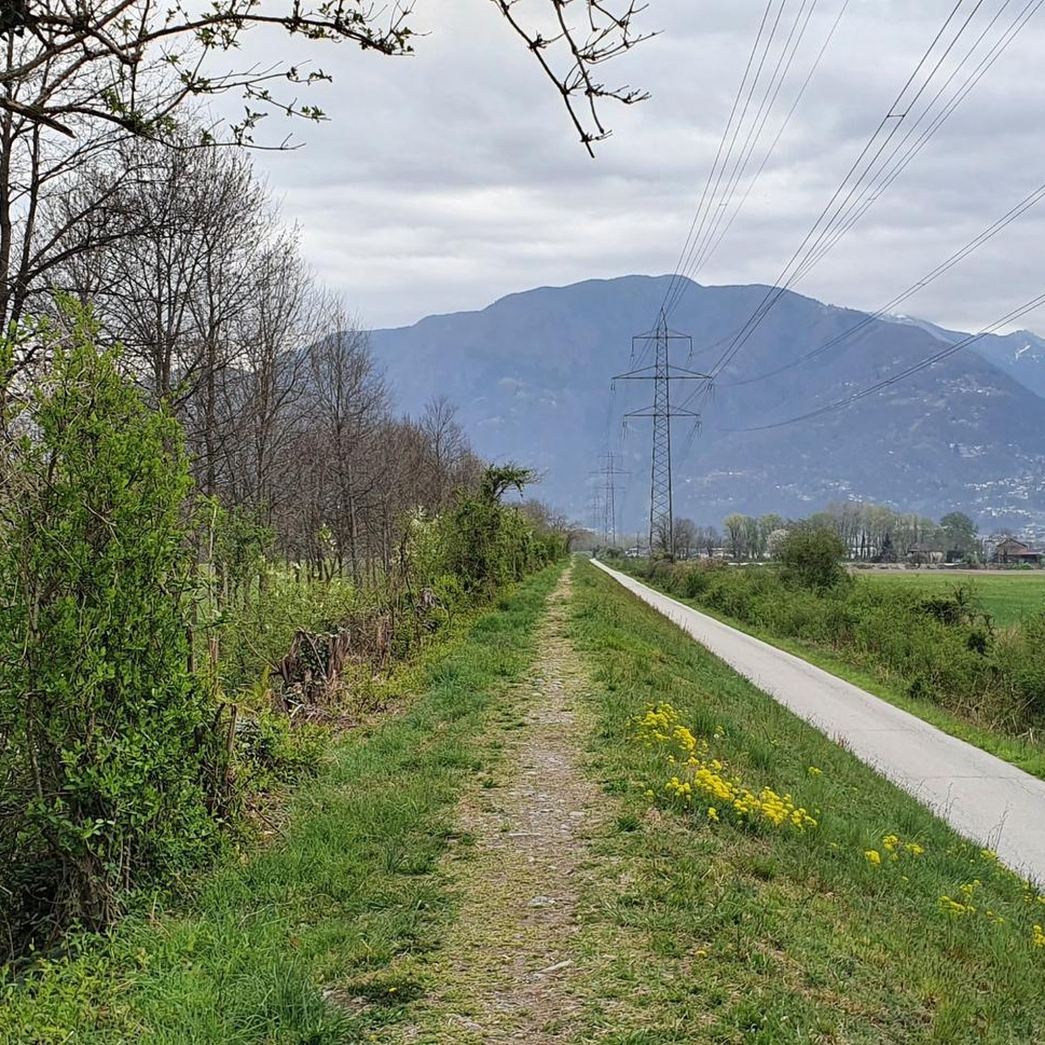
Tips from the Community

Perfect end after a hike for refreshments. Small menu with soup, polenta, risotto and homemade cake. https://www.montimotti.ch
0
0

Great picnic area with a fountain that has plenty of water, tables and benches
0
0
It's great that this cable car runs practically day and night. So you don't have to stress about catching the last descent while hiking. A little further down the road is the bus stop for the bus to Bellinzona Station.
0
0

very nicely hosted hut and great view over the valley deep below us
0
0
The exit of the via ferrata looks adventurous, as do the rocks behind it... but not this time...
0
0
Interestingly, as we pass by, there's an open toilet paper stand next to the table with a few dry rolls of toilet paper—it rarely seems to rain here...
0
0

a small hut with the possibility to eat and stay overnight....
0
0

The Cugnasco-Monti di Motti road was built as a military road during the First World War. After a 12 km climb on a narrow but well-maintained road, you reach Monti di Motti, a magnificent cluster of houses on a small lake with breathtaking views of the Verzasca Valley, the Magadino Plain, Monte Tamaro and Lake Maggiore. The grotto and the lake make this mountain an ideal destination for families who want to spend a day surrounded by nature. Several interesting excursions start from here, including one to the picturesque Sassariente
1
0
Frequently Asked Questions
What level of fitness is required for mountaineering routes around Gudo?
Mountaineering routes in Gudo are generally challenging, with 7 out of 8 routes classified as difficult. They often require very good fitness, sure-footedness, sturdy shoes, and alpine experience. The region's terrain transitions from the Alps to a more Mediterranean environment, offering significant elevation changes.
Are there any moderate mountaineering options in the Gudo area?
Yes, while most routes are difficult, there is one moderate option available: the Summit of Monte Tamaro loop from Oratorio di Santa Maria degli Angeli. This route covers 9.2 km and typically takes around 3 hours 47 minutes to complete.
What kind of views can I expect on mountaineering tours in Gudo?
The Gudo region, nestled within Ticino's mountainous landscape, offers expansive panoramic views. Routes like the Sassariente Summit Cross loop from Gordola lead to prominent viewpoints, providing vistas of the surrounding alpine environment. Monte Tamaro, a significant peak in the area, also offers extensive views, potentially including both Lago Maggiore and Dufourspitze on clear days.
Are there any circular mountaineering routes available near Gudo?
Yes, several routes around Gudo are circular. For example, you can explore the Pond with picnic benches loop from Circolo di Bellinzona, which is a 5.6 km difficult route, or the longer Pond with picnic benches – Capanna Albagno loop from Circolo di Bellinzona, covering 10.4 km.
What natural features or attractions can I see near the mountaineering routes?
The Gudo area is rich in natural beauty. You can find stunning rock formations along the Verzasca River, particularly near Lavertezzo, which you can explore via the Rock formations along the Verzasca River in Lavertezzo highlight. There are also natural pools in gorges, such as the Natural Pools in the Gorge, and the scenic Stuello Valley.
Are there any historical sites or unique landmarks to discover while mountaineering in Gudo?
Yes, you might encounter historical elements like the Old Mill and Stone Bridge in the Gorge. The broader Ticino region also features notable structures like the Carasc Tibetan Bridge and the Ponte dei Salti, a medieval two-arched stone bridge over the Verzasca River.
What do other mountaineers say about the routes in Gudo?
The mountaineering routes in Gudo are highly regarded by the komoot community, with an average rating of 4.8 stars from over 20 reviews. Mountaineers often praise the challenging alpine routes, significant elevation gains, and the rewarding panoramic summit views.
Are there any routes that involve ridge climbing near Gudo?
Yes, for those seeking a more technical challenge, the Ridge Climbing in Ticino – Sassariente Summit Cross loop from Lavertezzo offers an opportunity for ridge climbing. This difficult route covers 11 km and typically takes around 5 hours 22 minutes.
What is the best time of year for mountaineering in Gudo?
The alpine meadows around Gudo burst into bloom in the spring, offering a beautiful contrast to the stark peaks. While specific seasonal recommendations for mountaineering depend on conditions, spring through autumn generally provides the most favorable weather for exploring the higher elevations.
Are there any places to eat or rest along the mountaineering trails?
Some routes offer designated rest spots, such as the Pond with picnic benches loop from Circolo di Bellinzona. Additionally, you can find places like the Osteria Grotto Monti di Motti, which might be accessible depending on your chosen route.
How many mountaineering routes are available in the Gudo area?
There are 8 mountaineering routes documented around Gudo, offering a range of experiences primarily for experienced mountaineers. Most of these routes are classified as difficult.
Can I find routes that offer views of lakes or dams?
While the mountaineering routes themselves focus on the alpine terrain, the broader Gudo region is close to significant bodies of water. You can find highlights like the Verzasca Dam and the Lakeside Marina of Tenero on Lake Maggiore, which are popular attractions in the vicinity.
Most popular attractions around Gudo

Get inspired with the komoot mobile app


Explore more
Browse the best Mountain Hikes & Routes in other regions.
