The 20 Most Amazing Peaks around L'Hospitalet-Près-L'Andorre
Best mountain peaks around L'Hospitalet-Près-L'Andorre, a commune in the Ariège department of southwestern France, serves as a gateway to the Pyrenean peaks. Located at an altitude of 1,440 meters, the village is situated for exploring the high mountains at the border of France and Andorra. The region offers diverse mountain terrain and numerous hiking trails.
Best mountain peaks around L'Hospitalet-Près-L'Andorre
- The most popular mountain peaks is Summit of Pic Carlit, a summit that culminates at 2,921 meters, offering wide…
Last updated: May 26, 2026
Summit of Pic Carlit
Highlight • Summit
Translated by Google •
Tip by

Font del Travenc Bridge
Highlight • Bridge
Tour to the highlight: komoot.de/tour/340805299?ref=itd
Translated by Google •
Tip by

Sign up now to discover places like this
Get recommendations on the best single tracks, peaks, & plenty of other exciting outdoor places.
Sign up for free
Cabana Sorda Refuge
Highlight • Mountain Hut
Translated by Google •
Tip by

Portella Blanca
Highlight • Mountain Pass
Translated by Google •
Tip by

Cabane de Rouzet
Highlight • Mountain Hut
In 1983 …
Translated by Google •
Tip by
Sign up for free to discover even more peaks around L'Hospitalet-Près-L'Andorre.
Sign up for free
Already have an account?
Start today with a free account
Your next adventure awaits.
Login or Signup
Popular around L'Hospitalet-Près-L'Andorre

On wild ridges: Catalonia to Ariège – Hexatrek, Eastern Pyrenees
From refuge to refuge — Tour des Pérics
Tour des Pérics – Carlit and Grand Péric variants
Cycling around L'Hospitalet-Près-L'Andorre
Running Trails around L'Hospitalet-Près-L'Andorre
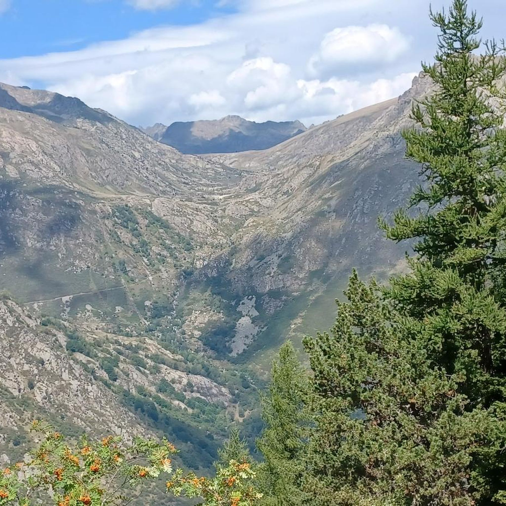
MTB Trails around L'Hospitalet-Près-L'Andorre
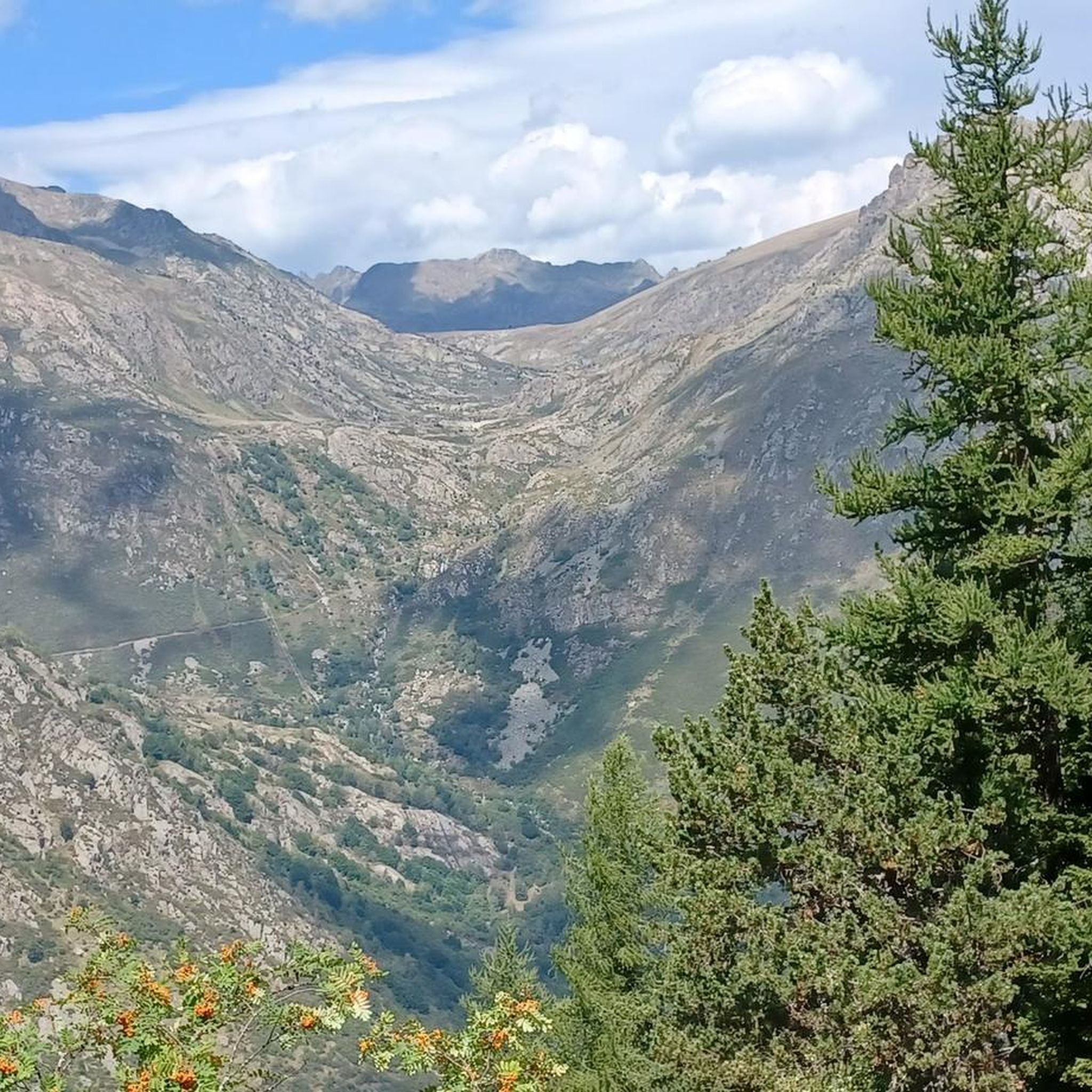
Road Cycling Routes around L'Hospitalet-Près-L'Andorre
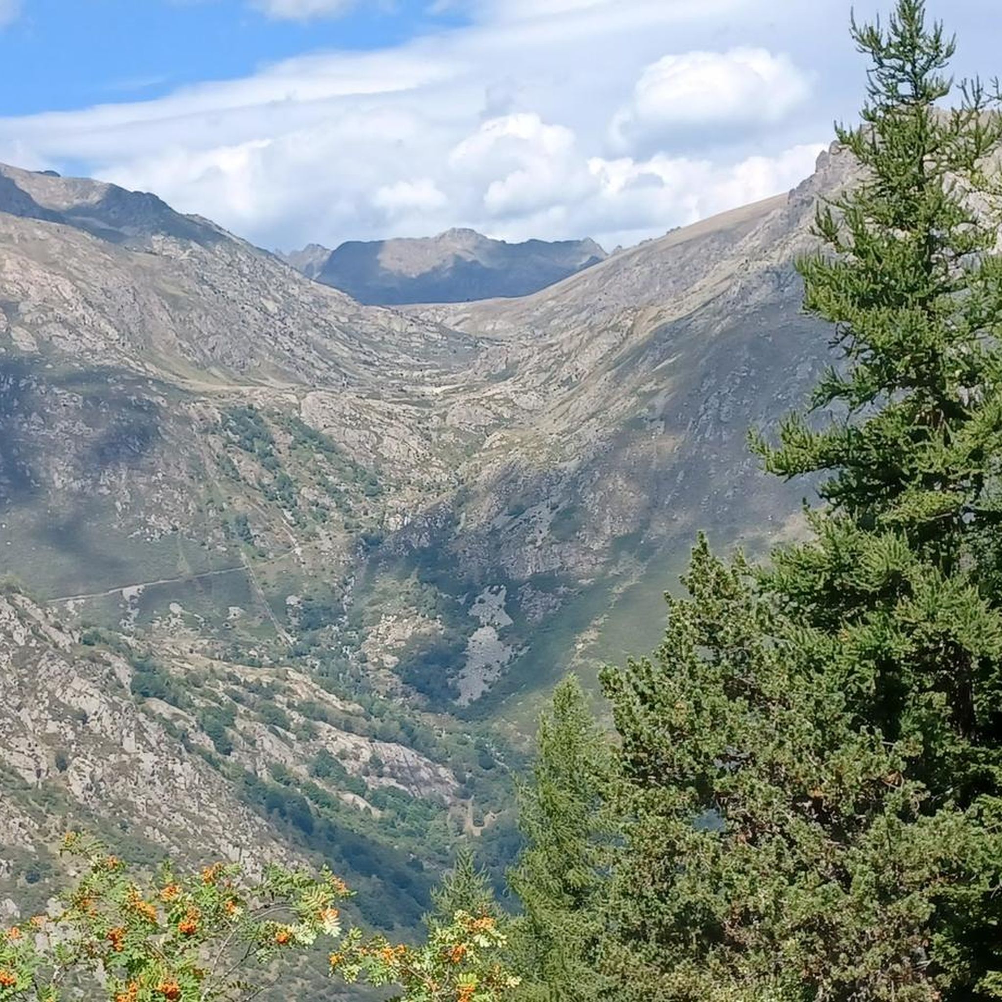
Hiking around L'Hospitalet-Près-L'Andorre

Mountain Hikes around L'Hospitalet-Près-L'Andorre


Tips from the Community

There were nine of us: five Czechs, three French women, and just me. We had a great time together that evening. Pleasant hut, but you have to bring your sleeping bag and mat.
0
0


The Font del Travenc Bridge is one of the stops you can make if you are touring the area by mountain bike. The terrain is demanding, so it is more suitable for experienced cyclists. The routes in this area offer a mix of rocky paths, narrow trails and technical descents. It is associated with the Font del Travenc, a natural spring located in a high mountain environment, surrounded by spectacular landscapes.
0
0

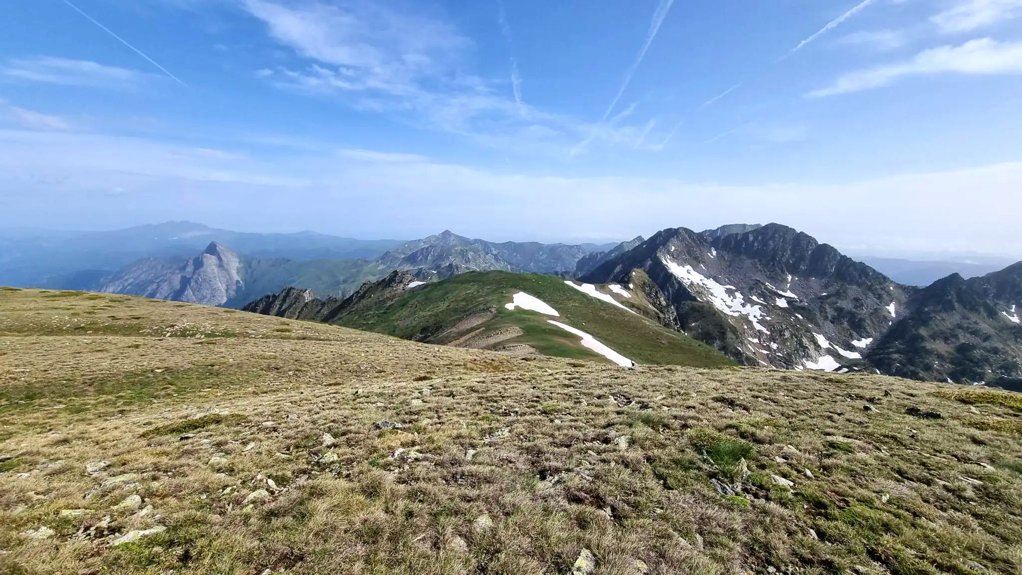
Carlit Peak is part of the Capcir granite massif, which is dotted with 27 lakes and small lakes in the Occitanie region, northwest of Font-Romeu. Its summit is located at 2921 meters, allowing you to observe an immense panorama (from Canigó to the Central Pyrenees).
1
2

A small bridge over the confluence of the Juclar and d'Incles rivers. There is a small car park and picnic area before returning to the valley.
0
0
Relatively large mountain shelter, with capacity for 20 people, the stone cabin is located at 2290 meters above sea level near the Sorda pond.
0
0
A small bridge over the confluence of the Juclar and d'Incles rivers. There is a small parking lot and a picnic area that marks the beginning of the trail to explore the Juclar valley, the river and the high mountain ponds.
0
0

On the edge of the border between Andorra and France rises the Portella Blanca, a majestic mountain pass at an altitude of 2,514 metres. Surrounded by the proud peaks of Negre d'Envalira and Tosseta de l'Esquella, it offers hikers a panorama that is hard to beat in its grandeur. From up here, the mighty peaks and bare slopes look like a painting that shows the pure power and untouched nature. The silence up here is almost tangible, broken only by the gentle whisper of the wind and the distant murmur of hidden mountain streams. The sunlight breaks off the rock structures and lets the scenery shine in a constant play of light and shadow. With every breath, the air tastes a little clearer, a little colder. It is as if the mountains are sharing their secrets with you as you look out over the boundless expanses and let yourself be enchanted by the magic of this place. A place where heaven and earth seem to touch and you feel a little closer to the infinite horizon.
2
0
Frequently Asked Questions
What are some of the most notable mountain peaks and features around L'Hospitalet-près-l'Andorre?
The region offers several impressive peaks and natural features. One of the most popular is the Summit of Pic Carlit, which culminates at 2,921 meters and provides extensive panoramas over the valley and its many lakes. Another significant peak is Puig de Coma d'Or (2,826 m), known for its challenging ascent and magnificent 360° views of the Catalan, Ariège, and Andorran Pyrenees.
Are there any challenging mountain passes in the area?
Yes, the Portella Blanca is a notable mountain pass located at 2,514 meters. It sits on the border between Andorra and France, offering fantastic views of the surrounding peaks and bare slopes typical of high altitudes.
What kind of hiking opportunities are available near L'Hospitalet-près-l'Andorre?
The area offers a diverse range of hiking trails, from demanding high-mountain excursions requiring good fitness to more moderate routes. Many trails lead to stunning viewpoints and high-mountain lakes. You can find various options, including circular walks, in the Hiking around L'Hospitalet-Près-L'Andorre guide.
Are there any refuges or huts for overnight stays during multi-day hikes?
Yes, the Cabana Sorda Refuge is a modernly furnished, unattended hut with an oven and a large grill, often used for overnight stops. Another important stop for multi-day hikes is the Refuge des Bésines, which provides 56 beds and catering options, located at the foot of the Pic d'Auriol.
What natural attractions, such as lakes, can be found in the mountains?
The region is dotted with beautiful high-mountain lakes (étangs). A hike towards the Étang des Bésines is particularly scenic, known for its rich flora and fauna. Other routes explore multiple lakes, such as the Pédourès Pond and Siscar Pond, showcasing a classic high-mountain landscape interspersed with streams.
What is the best time of year to hike the mountain peaks around L'Hospitalet-près-l'Andorre?
The best time for hiking in the high mountains is typically during the warmer months, from late spring to early autumn, when trails are generally free of snow and weather conditions are more stable. However, conditions can change rapidly in the mountains, so always check the forecast.
Are there any family-friendly spots or activities in the mountain peaks area?
While many peaks are challenging, some areas offer more accessible options. The Font del Travenc Bridge is a secluded spot with a romantic bridge and a picnic area, which can be a pleasant stop for families. When planning, look for trails categorized as 'family_friendly' or 'easy' in route guides.
What kind of wildlife can I expect to see in the Pyrenees around L'Hospitalet-près-l'Andorre?
The region is rich in alpine flora and fauna. Areas like the Étang des Bésines are noted for their diverse wildlife. You might spot free-living cows and horses grazing on quiet high pastures, and the untouched nature provides habitats for various mountain species.
How accessible are the mountain peaks by public transport?
L'Hospitalet-près-l'Andorre itself is a village with a train station, making it a significant point for accessing the mountains. Some demanding hikes, like the loop to Puig de Coma d'Or, can start directly from the L'Hospitalet-près-l'Andorre station. For specific trailheads, local transport options or car access might be necessary.
What are some recommended mountain hikes for experienced trekkers?
Experienced trekkers can tackle challenging routes like the ascent to Puig de Coma d'Or, which is a demanding high-mountain day hike. The Mountain Hikes around L'Hospitalet-Près-L'Andorre guide offers several difficult routes, including the 'Peak Carlit loop'.
Can I find road cycling routes near the mountain peaks?
Yes, the region is popular for road cycling. You can explore various challenging routes, such as the 'Puymorens Pass – Pas de la Casa loop' or the 'Backside of Envalira – Circ de Pessons Viewpoint loop'. More options are detailed in the Road Cycling Routes around L'Hospitalet-Près-L'Andorre guide.
What makes the <a href="https://www.komoot.com/highlight/2610613" target="_blank" rel="noopener">Summit of Pic Carlit</a> a popular destination?
The Summit of Pic Carlit is highly regarded for its exceptional natural environment and the wide panoramas it offers over the valley and its numerous lakes. As the summit of the Pyrénées Orientales, it provides magnificent views of the Ariège mountains, making the challenging climb incredibly rewarding.
Most popular routes around L'Hospitalet-Près-L'Andorre
Most popular attractions around L'Hospitalet-Près-L'Andorre

Get inspired with the komoot mobile app


Explore more
See even more amazing summits around L'Hospitalet-Près-L'Andorre with these guides:
