The best running trails around Orgeix
4.3
(34)
2,437
runners
100
runs
Jogging around Orgeix provides access to varied terrain within the Pyrenees foothills. The region features river valleys, mountain passes, and forested slopes, offering a range of elevation changes. Running routes often traverse through natural landscapes, including areas with lakes and higher-altitude refuges. The trails are characterized by a mix of natural paths and some paved sections, suitable for different running preferences.
Best jogging routes around Orgeix
- The most popular jogging route is Sarrat de l'Étang Summit loop from Ax-les-Thermes,…
Last updated: September 24, 2026
4.7
(3)
180
runners
7.67km
00:50
70m
70m
Moderate run. Good fitness required. Mostly paved surfaces. Suitable for all skill levels.
4.7
(3)
107
runners
9.08km
01:12
340m
350m
Hard run. Very good fitness required. Mostly paved surfaces. Suitable for all skill levels.

75
runners
19.4km
03:04
940m
940m
Hard run. Very good fitness required. Sure-footedness, sturdy shoes and alpine experience required.
5.0
(1)
68
runners
28.2km
04:39
1,540m
1,540m
Hard run. Very good fitness required. Mostly paved surfaces. Suitable for all skill levels.
5.0
(1)
113
runners
9.37km
01:03
90m
90m
Moderate run. Good fitness required. Mostly paved surfaces. Suitable for all skill levels.
Get access to more routes and recommendations from other explorers.
Already have an account?
Our route recommendations are based on thousands of hikes, rides, and runs completed by other people on komoot.
Start today with a free account
Your next adventure awaits.
Popular around Orgeix
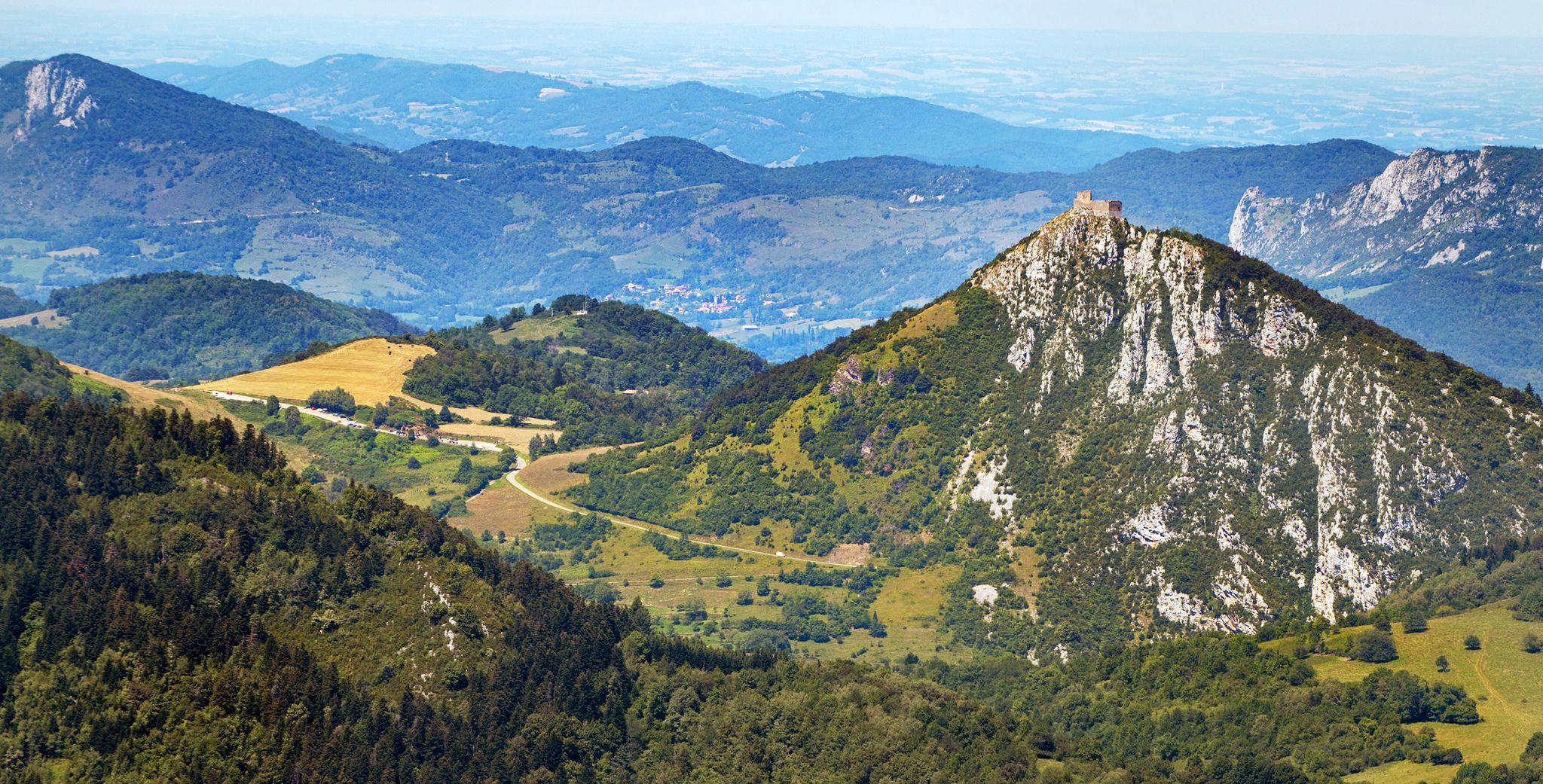
Cathar Route from Catalonia to France – Bons Homes Path (GR 107)
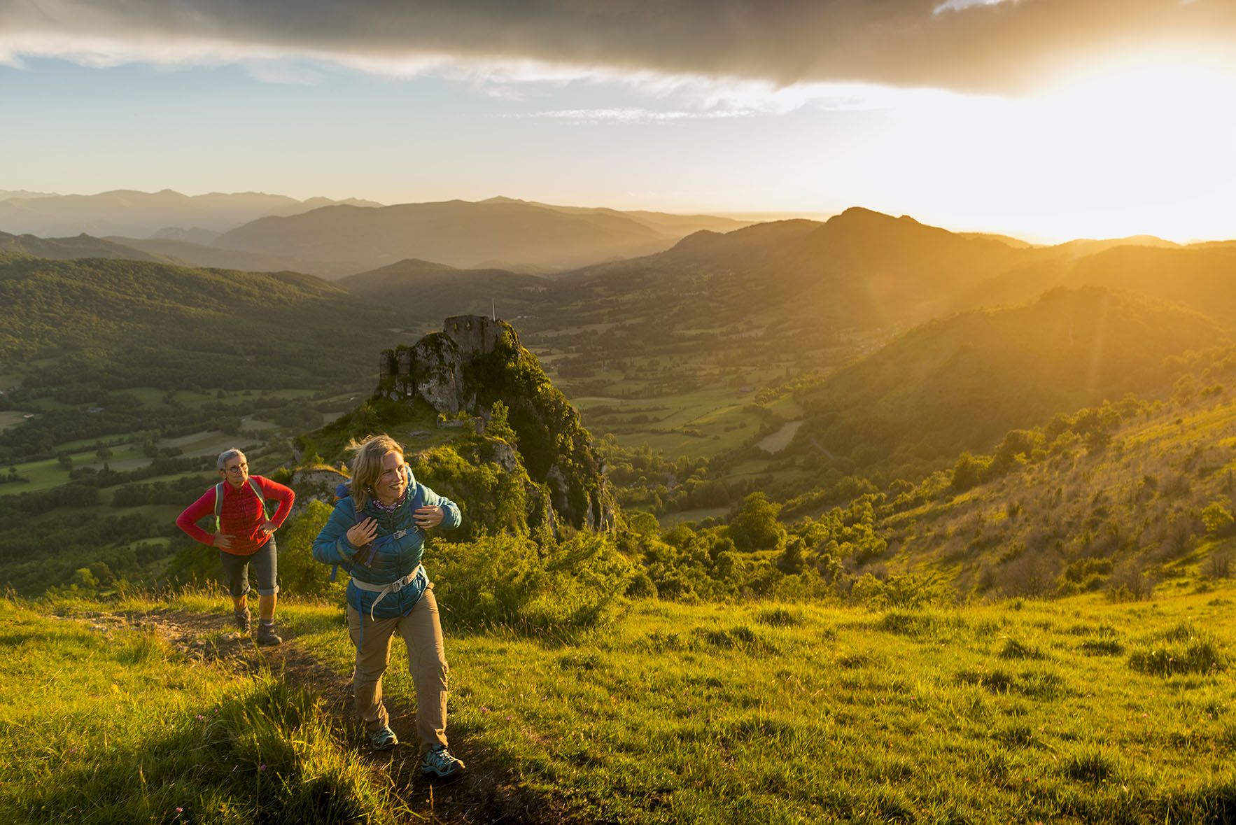
The chemin des Bonshommes — a journey between France and Spain
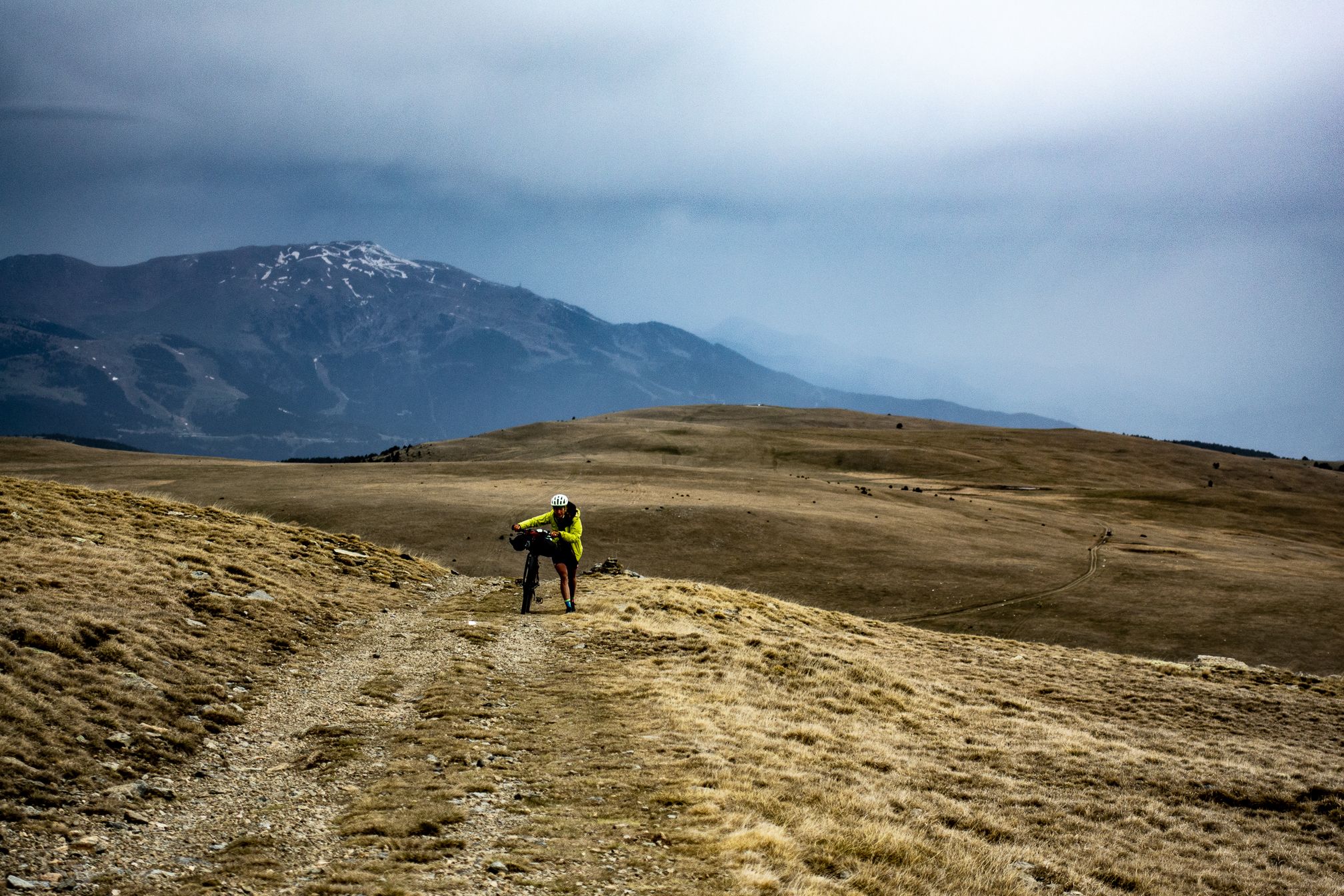
Traverses in the Pyrenees — Bikepacking from Zero Neuf Cycling
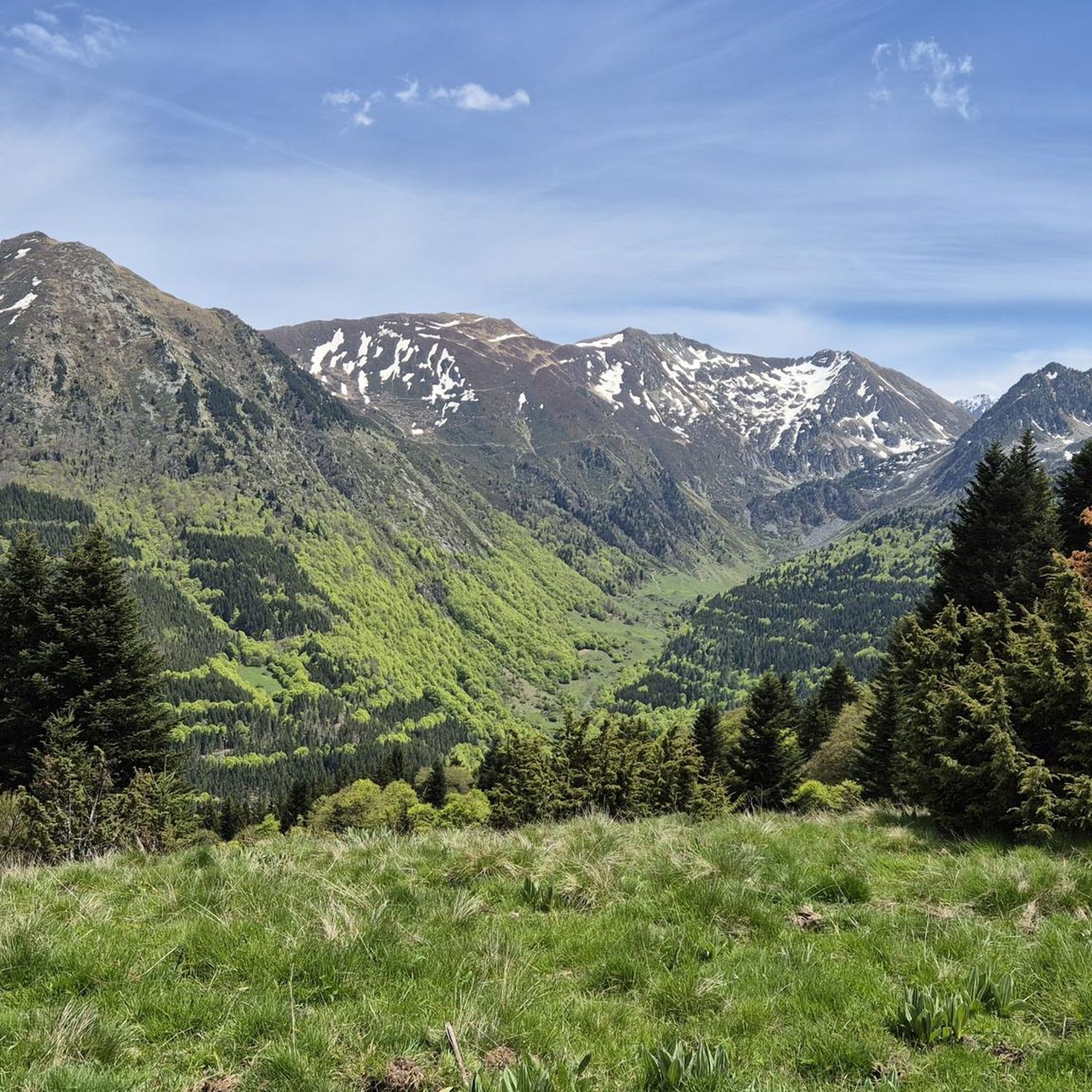
Road Cycling Routes around Orgeix
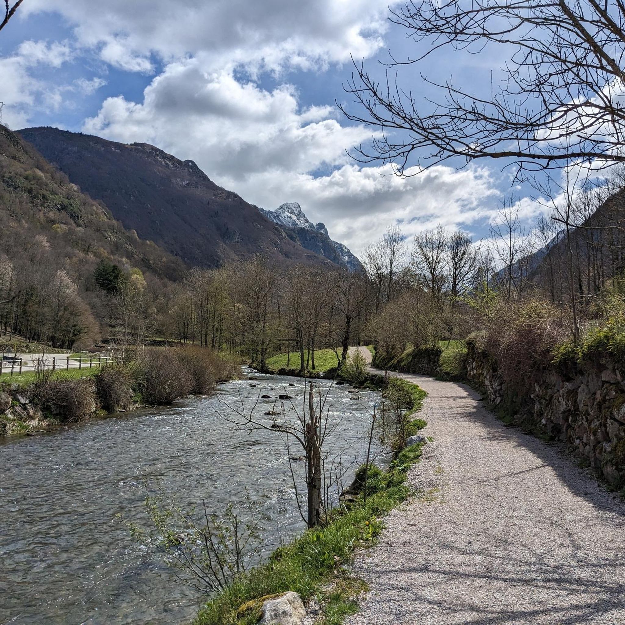
Cycling around Orgeix
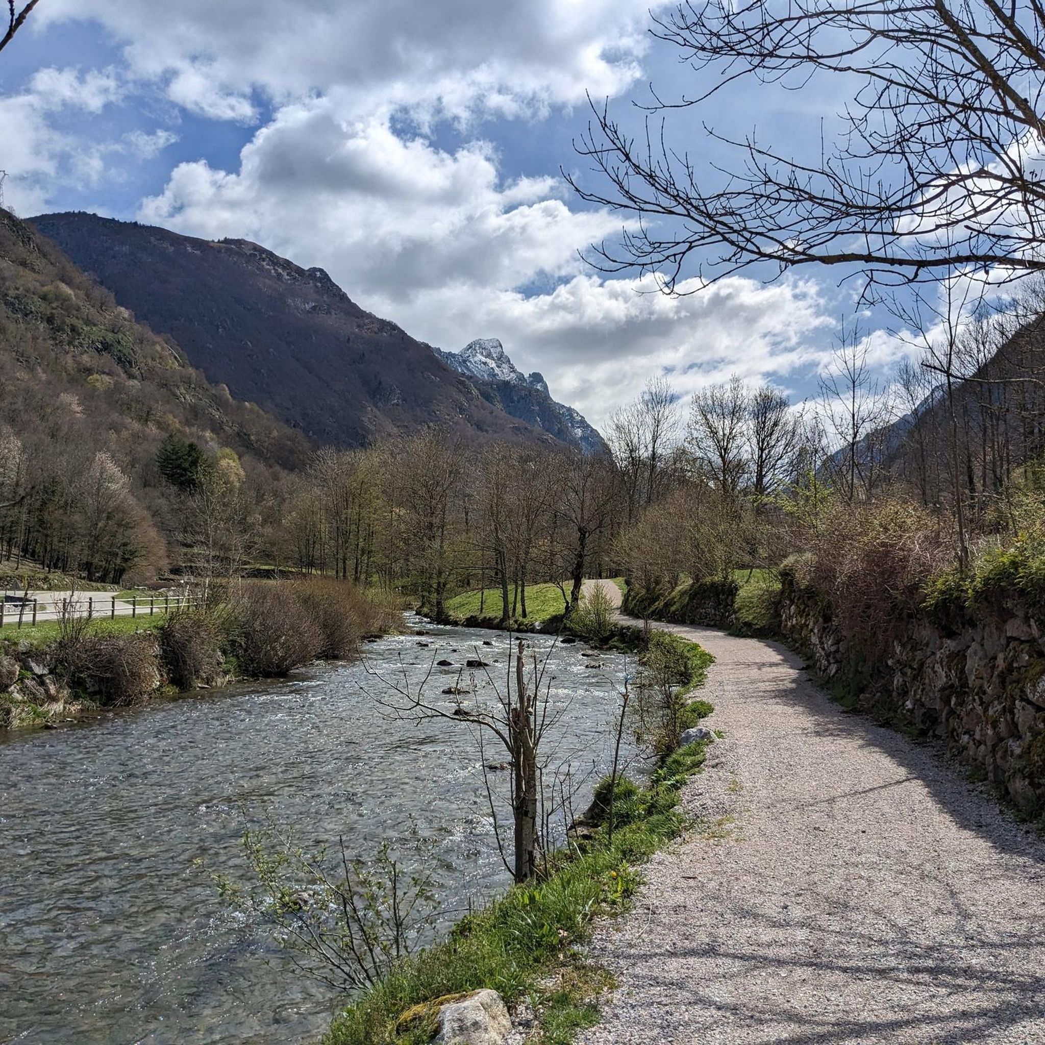
Hiking around Orgeix
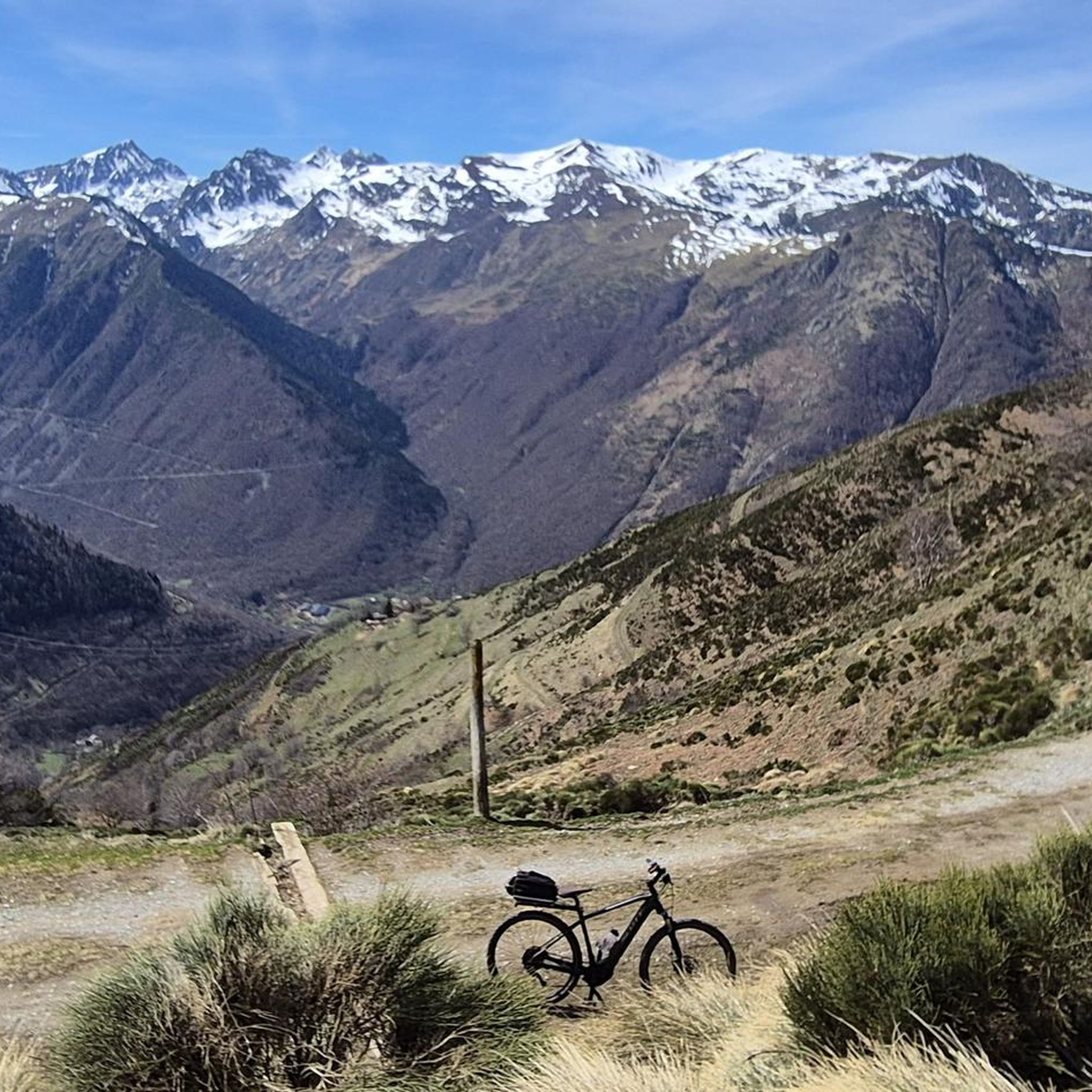
MTB Trails around Orgeix

Gravel biking around Orgeix

Mountain Hikes around Orgeix
Other adventures around Orgeix


Tips from the Community

Beautiful thermal town, with the start of the beautiful passes of Ariege.
0
0

Impressive mountain pass below Pico d'En Beys. From here you will have unique views. The climb from either side is quite demanding and tough.
0
0
Beautiful high mountain lakes located below the Col d'En Beys
0
0
Beautiful mountain refuge in a spectacular setting.
0
0

It would be nice to know the names of the peaks that can be seen from the Sarrat de l'Etang...
0
0

There are several fountains and public pools with pure thermal water to warm your feet after the descent.
0
0

Nice relax and shower stop in the swimming pool by Parc de'Espagne. Also a hose to clean the bikes in park near the gondola lift entry.
0
0

Frequently Asked Questions
How many running routes are available around Orgeix?
There are over 90 running routes available around Orgeix, offering a wide range of options for different fitness levels and preferences.
Are there easy jogging routes suitable for beginners in Orgeix?
While the region is known for its more challenging mountain runs, there is at least one easy route available. Most of the trails are rated as moderate or difficult, so beginners should check the difficulty grade before heading out. For a moderate option, consider the Ariège River loop from Ax-les-Thermes.
What kind of terrain can I expect on the running trails near Orgeix?
The running trails around Orgeix feature varied terrain within the Pyrenees foothills. You'll encounter river valleys, mountain passes, and forested slopes, with a mix of natural paths and some paved sections. Many routes also lead through areas with lakes and higher-altitude refuges.
Are there any circular running routes in Orgeix?
Yes, many of the running routes around Orgeix are circular. For example, the popular Sarrat de l'Étang Summit loop from Ax-les-Thermes offers summit views on a loop trail. Another option is the challenging View of the Assaladou 🏞️ – Ijou Pass loop from Ax-les-Thermes.
What are some scenic jogging routes with viewpoints around Orgeix?
Many routes in the Orgeix area offer stunning views, especially those that climb to higher elevations or mountain passes. The Sarrat de l'Étang Summit loop from Ax-les-Thermes is known for its summit views. For expansive vistas across mountain passes, the View of the Assaladou 🏞️ – Ijou Pass loop from Ax-les-Thermes is highly recommended.
What do other runners enjoy most about jogging in Orgeix?
The running routes in Orgeix are highly rated by the komoot community, with an average score of 4.6 stars from more than 20 reviews. Runners often praise the varied terrain, the beautiful natural landscapes including lakes and mountain passes, and the options available for different ability levels.
Are there any running trails near Orgeix that pass by lakes or refuges?
Yes, several routes will take you past beautiful lakes and high-altitude refuges. The En Beys Lake and Refuge – Orlu Valley loop from Forges d'Orlu is a prime example, leading through mountain lakes and offering access to refuges.
What are some notable landmarks or attractions near the running trails?
The region around Orgeix is rich in natural beauty. Many trails offer views of or access to significant mountain passes, such as Pailhères Pass or Pradel Pass. These passes often provide excellent viewpoints and are integral to the mountainous landscape.
Is public transport available to access jogging routes in Orgeix?
Orgeix is located in a mountainous region, and while some larger towns like Ax-les-Thermes may have limited public transport connections, many trailheads are best accessed by car. It's advisable to check local bus schedules if you plan to rely on public transport, as services can be infrequent, especially to more remote starting points.
Are there family-friendly jogging routes in the Orgeix area?
While many routes in Orgeix are challenging, there are options suitable for families looking for a less strenuous run. Look for routes described as 'easy' or 'moderate' with minimal elevation gain, often found along river valleys. The Ariège River loop from Ax-les-Thermes is a moderate option that follows a river, which might be suitable for active families.
What is the best time of year for running in Orgeix?
The best time for running in Orgeix is generally from late spring through early autumn (May to October) when the weather is milder and trails are clear of snow. During these months, you'll experience pleasant temperatures and lush landscapes. Higher altitude routes may still have snow patches in early spring or late autumn.
Are there any specific considerations for winter jogging in Orgeix?
Winter jogging in Orgeix can be challenging due to snow and ice, especially on higher elevation trails and mountain passes. Lower valley routes might remain accessible, but proper winter running gear, including trail shoes with good grip and warm, layered clothing, is essential. Always check weather and trail conditions before heading out in winter.
Can I find running routes with parking nearby in Orgeix?
Many running routes around Orgeix, particularly those starting from towns like Ax-les-Thermes or Forges d'Orlu, have designated parking areas nearby. It's always a good idea to check the route details on komoot for specific parking information before you go, as some more remote trailheads might have limited facilities.
Most popular attractions around Orgeix

Get inspired with the komoot mobile app


Explore more
Browse the best Running Trails & Routes in other regions.
