The best mountain hikes around Serravalle
12
hikers
3
hikes
Mountaineering routes around Serravalle traverse a landscape characterized by high alpine terrain, including prominent peaks, glaciers, and mountain passes. The region features challenging ascents and descents, often leading through rocky slopes and offering expansive views of the surrounding ranges. These routes are situated in a mountainous environment, providing opportunities for strenuous outdoor activity.
Best mountaineering routes around Serravalle
- The most popular mountaineering route is Pizzo Uccello loop from San Bernardino, a 7.4 miles (11.9 km) trail that takes 6…
Last updated: July 11, 2026
6
hikers
8.00km
05:56
910m
910m
Hard mountaineering route. Very good fitness required. Sure-footedness, sturdy shoes and alpine experience required.
4
hikers
Moderate mountaineering route. Good fitness required. Mostly accessible paths. Sure-footedness required.

Sign up for free
3
hikers
7.70km
05:55
940m
940m
Hard mountaineering route. Very good fitness required. Sure-footedness, sturdy shoes and alpine experience required.
Our route recommendations are based on thousands of hikes, rides, and runs completed by other people on komoot.
Start today with a free account
Your next adventure awaits.
Login or Signup
Tips from the Community

pretty here, very pretty
3
0

The San Bernardino Pass connects the Misox with the Rheinwald and is located at 2,066 meters. At the pass summit, there is a restaurant and a bus stop, making the location easily accessible. The open high mountain landscape with small lakes and wide open spaces is well suited for a break.
0
0
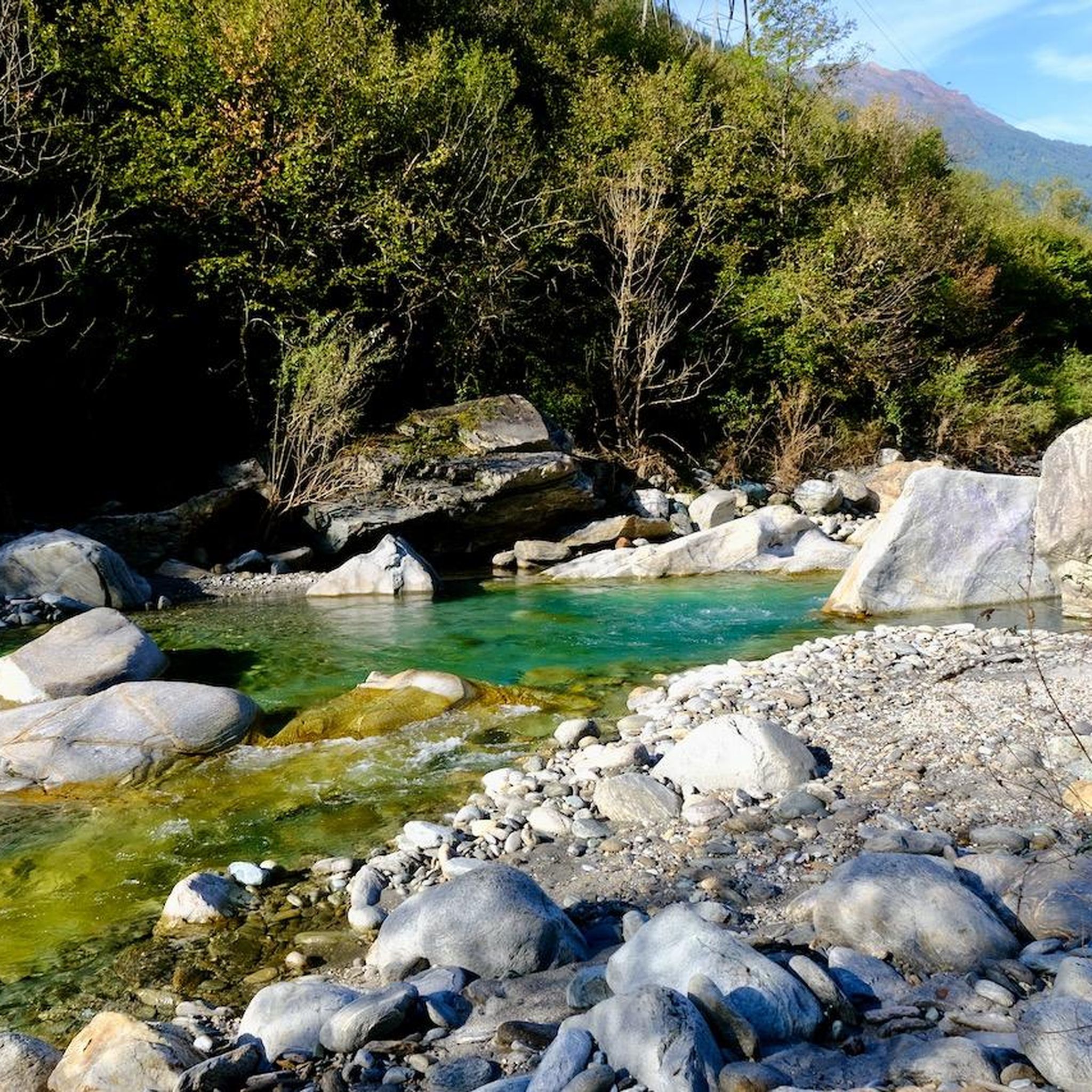
Directly in the village lies the historic mineral spring of San Bernardino. The crystal-clear water has been emerging here for centuries and can still be tapped fresh today. A short stop is worthwhile – not only for the history, but also for a refreshing break at the beginning or end of your tour.
0
0

S.Bernardo Mineral Water, San Bernardino Quality water since 1926 S.Bernardo represents the perfect union of quality, tradition, and elegance. Its spring originates in the Maritime Alps, at an altitude of 1,300 m, in a healthy and unspoiled environment. Text / Source: S. Bernardo S.p.A., Via O. Rovere, 41 – 12075 Garessio (CN) https://www.sanbernardo.it/azienda-san-bernardo/
14
0

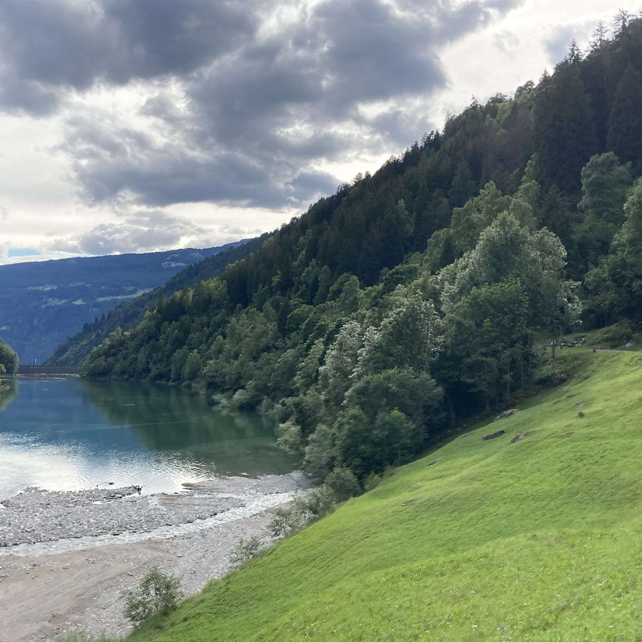
Stunning section of the climb up the San Bernardino Pass, view of the Alpine nature, of the valley and of the mountains in the upper part of the valley. Every effort is rewarded!
0
0
Frequently Asked Questions
How many mountaineering routes are available in Serravalle?
Komoot features 4 dedicated mountaineering routes around Serravalle. These routes traverse high alpine terrain, offering challenging ascents and descents through rocky slopes and providing expansive views.
Are there any moderate mountaineering routes in Serravalle?
Yes, for those seeking a less strenuous option while still exploring the mountain environment, the San Bernardino Pass South Ramp – San Bernardino Village loop from San Bernardino is a moderate 7.0-mile (11.3 km) path. It offers a great way to experience the region's beauty without the extreme demands of more difficult climbs.
What are the most challenging mountaineering routes around Serravalle?
Serravalle offers several challenging routes for experienced mountaineers. The Pizzo Uccello loop from San Bernardino is a difficult 7.4-mile (11.9 km) trail with significant elevation gain and alpine views, typically taking over 6 hours. Another demanding option is the Rheinwaldhorn Glacier – View from Piz Adula loop from Grauhorn, a 5.0-mile (8.0 km) trail leading through high mountain passes and near glacial features.
Are there any circular mountaineering routes in the area?
Yes, all the featured mountaineering routes in this guide are circular. For example, the Pizzo Uccello loop from San Bernardino and the San Bernardino Pass South Ramp – San Bernardino Village loop from San Bernardino are both circular, allowing you to start and end at the same point.
What kind of natural features can I expect to see on these routes?
The mountaineering routes around Serravalle are characterized by high alpine terrain, prominent peaks, and mountain passes. You'll encounter rocky slopes and expansive views of the surrounding ranges. In the broader Serravalle region, particularly in San Marino, you can explore hilly terrain, rocky slopes, and the notable Monte Titano. The area also features beautiful lakes such as Lago di Luzzone and Luzzone Dam, Lake Dosso, and Lake Carassina.
Are there any family-friendly options for outdoor activities near Serravalle?
While the mountaineering routes in this guide are generally challenging, the broader Serravalle region offers family-friendly outdoor activities. In San Marino, the 'Path of the Titan' is a 43-kilometer circular route that can be explored in sections, suitable for families looking for less strenuous hikes through natural parks and ancient paths. The Gavi hills near Serravalle Scrivia in Italy also provide opportunities for walks and e-bike adventures suitable for various fitness levels.
What is the best time of year for mountaineering in Serravalle?
The best time for mountaineering in Serravalle typically aligns with late spring, summer, and early autumn when the weather is more stable, and snow has melted from higher elevations. This period offers clearer paths and more favorable conditions for challenging ascents. Winter mountaineering is possible but requires specialized gear and experience due to snow, ice, and colder temperatures.
Are there any notable landmarks or attractions near the mountaineering routes?
Yes, the region offers several points of interest. Near some routes, you can find the charming San Bernardino Village. Other attractions in the wider Serravalle area include the historic three towers of San Marino—Guaita, Cesta, and Montale—which offer amazing panoramas. The tower La Cesta is located on Monte Titano's highest peak, providing sweeping mountain views. You might also encounter the San Carlo Church in Negrentino.
What should I consider regarding parking and public transport for these routes?
For routes starting from locations like San Bernardino, parking is generally available in or near the village. For public transport, options may vary depending on the specific starting point. It's advisable to research local bus schedules or other transport links to your chosen trailhead in advance, especially if you plan to rely on public transport for access to more remote areas.
Do I need any special permits for mountaineering in Serravalle?
Generally, for hiking and mountaineering on established trails in the Serravalle region, special permits are not typically required. However, if you plan to engage in specific activities like free climbing on equipped walls, or if you venture into protected areas, it's always best to check with local authorities or park management for any specific regulations or permit requirements that might apply.
What gear is recommended for mountaineering in Serravalle?
Given the high alpine terrain, challenging ascents, and rocky slopes, recommended gear for mountaineering in Serravalle includes sturdy hiking boots, appropriate layers of clothing for varying weather conditions, navigation tools (map, compass, or GPS device), sufficient water and food, a first-aid kit, and sun protection. For more difficult routes or specific conditions, additional gear like trekking poles, crampons, or an ice axe might be necessary.
Where can I find places to eat or stay near the mountaineering trails?
The San Bernardino Village, a common starting point for several routes, offers options for accommodation and dining. In the broader Serravalle region, both Serravalle in San Marino and Serravalle Scrivia in Italy have various restaurants, cafes, and accommodation choices. San Marino's medieval villages and Serravalle Scrivia's proximity to the Gavi hills, known for vineyards, provide diverse culinary experiences.
What makes mountaineering in Serravalle unique compared to other regions?
Mountaineering in Serravalle is unique due to its blend of challenging alpine environments and historical context. While not high-altitude alpine mountaineering like the Dolomites, it offers strenuous hiking and climbing experiences on less extreme terrains. In San Marino, you can climb Monte Titano, combining nature with history, and explore ancient paths. The region provides a sense of a mountain setting with panoramic views, often stretching towards the Adriatic coast.
What do other mountaineers enjoy most about the routes in Serravalle?
The komoot community highly values the mountaineering routes around Serravalle. Users often praise the challenging ascents and descents, the expansive views of the surrounding ranges, and the opportunity to traverse high alpine terrain. The region's blend of natural beauty and demanding trails makes it a rewarding destination for those seeking strenuous outdoor activity.
Most popular attractions around Serravalle

Get inspired with the komoot mobile app


Explore more
Browse the best Mountain Hikes & Routes in other regions.
