The best mountain hikes around Acquarossa
4.5
(3)
26
hikers
3
hikes
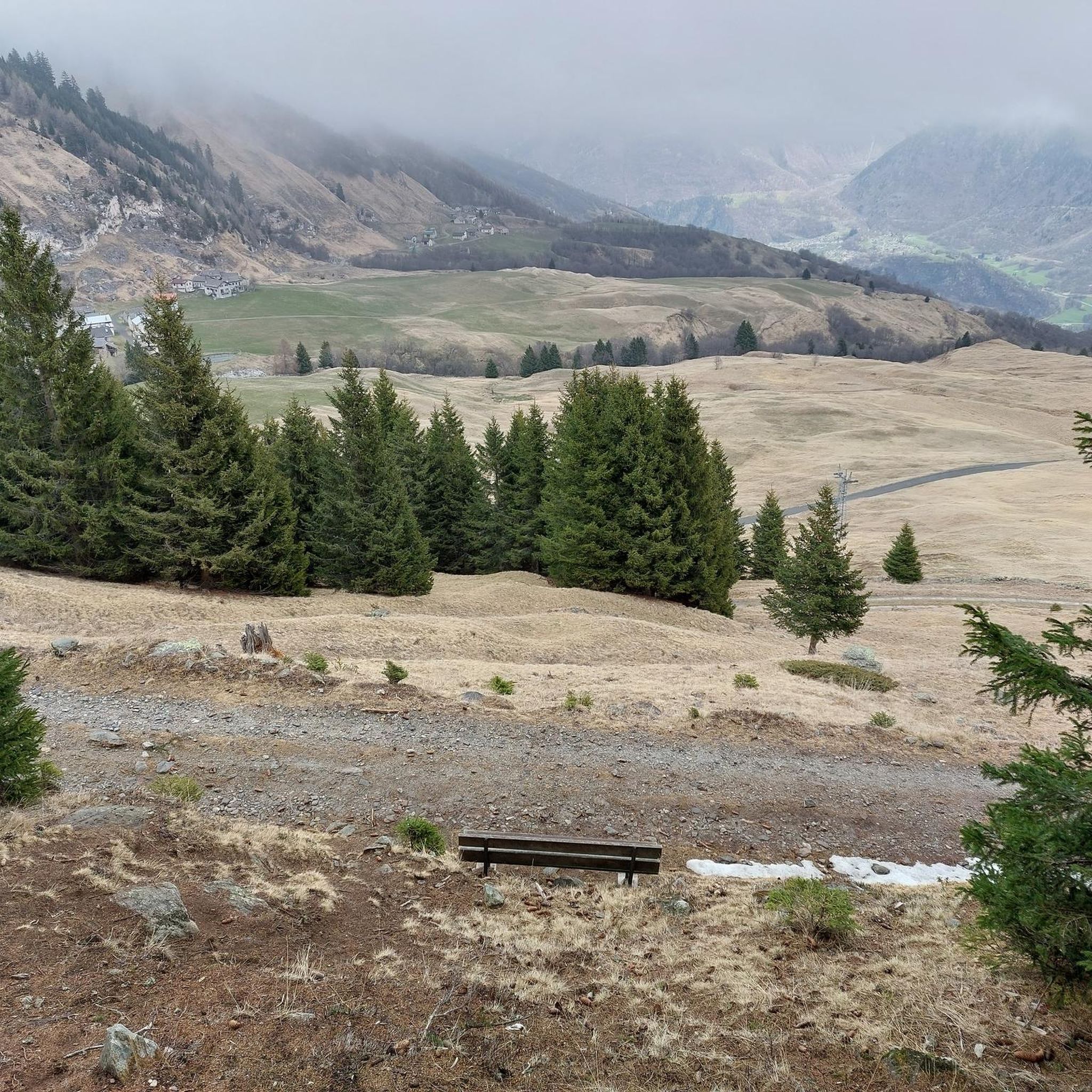
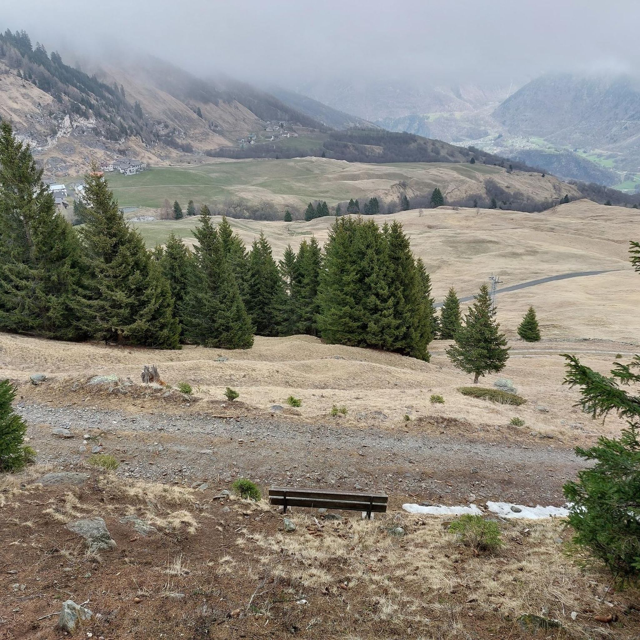
Mountaineering around Acquarossa, nestled in Switzerland's Blenio Valley, offers diverse landscapes and a wide array of trails. The region is characterized by panoramic mountain peaks, high-alpine lakes, and varied terrain, providing a unique blend of natural beauty and challenging routes. These trails cater to various skill levels, from demanding alpine expeditions to strenuous routes requiring significant fitness and experience.
Best mountaineering routes around Acquarossa
- The most popular mountaineering route is Lago dei Campanitt – Piora Valley loop from Hospezi S.…
Last updated: August 7, 2026
4.0
(2)
11
hikers
11.7km
05:04
750m
750m
Hard mountaineering route. Very good fitness required. Sure-footedness, sturdy shoes and alpine experience required.
6
hikers
8.00km
05:56
910m
910m
Hard mountaineering route. Very good fitness required. Sure-footedness, sturdy shoes and alpine experience required.

Sign up for free
5.0
(1)
6
hikers
20.0km
06:08
650m
650m
Hard mountaineering route. Very good fitness required. Easily-accessible paths. Suitable for all skill levels.
3
hikers
7.70km
05:55
940m
940m
Hard mountaineering route. Very good fitness required. Sure-footedness, sturdy shoes and alpine experience required.
Our route recommendations are based on thousands of hikes, rides, and runs completed by other people on komoot.
Start today with a free account
Your next adventure awaits.
Login or Signup
Other adventures around Acquarossa

Tips from the Community

A really beautiful pass! And also for hiking from the pass summit: many possibilities.
0
0

pretty here, very pretty
3
0


Scenic pass that is opened all year round (closes at 6pm in winter). There is hardly any traffic which makes cycling very nice and plenty of opportunities to take pictures. We crossed the pass in early May when there was still plenty of snow up there. The change in scenery where it was all green at Disentis and slowly turning white as we climbed higher... and very quickly turned to green as we rolled down on the south side to Biasca was breathtaking.
1
1

The Lucomagno is one of the most famous Alpine passes in Switzerland. It is located between the cantons of Ticino and Grisons, at an altitude of 1,926 meters. The name seems to derive from the Latin "locus magnus", meaning "large, open place". It is often tackled in the professional race of the Tour of Switzerland.
3
0
Frequently Asked Questions
What kind of mountaineering experience can I expect around Acquarossa?
Mountaineering around Acquarossa, in Switzerland's Blenio Valley, offers diverse landscapes with panoramic mountain peaks, high-alpine lakes, and varied terrain. The routes are generally challenging, requiring significant fitness and experience, and provide breathtaking views, including the Gotthard Massif and Rheinwaldhorn (Adula).
Are there any circular mountaineering routes in the area?
Yes, several routes are designed as loops. For example, the Lago dei Campanitt – Piora Valley loop from Hospezi S. Maria is a challenging 8.5-mile route offering expansive views of the Piora Valley. Another option is the Campo Tencia Hut loop from Dalpe, which features significant elevation gain and leads to the renowned Campo Tencia Hut.
What are some notable natural features or attractions I might encounter on these routes?
The region is rich in natural beauty. You might find stunning waterfalls like the Piumogna Waterfall or the Val Scaradra Waterfall. There are also impressive gorges, such as the Piottino Gorge and the Gorge of Lucomagno, offering picturesque scenery and varied terrain.
Are there any historical paths or cultural sites accessible from the mountaineering routes?
While the mountaineering routes themselves focus on alpine terrain, the broader Blenio Valley features historical paths like 'Historical Path number 4' from Acquarossa to Olivone. These paths allow you to discover small villages, historical sites like old baths, and Romanesque art and architecture within the valley. You can combine these with your mountaineering trip to explore the region's cultural heritage.
What is the best time of year for mountaineering in Acquarossa?
The Blenio Valley is an appealing year-round destination. For mountaineering, the warmer months typically offer the most accessible conditions, though some routes might be suitable for experienced individuals in early autumn. During winter, the Nara area above Leontica transforms into a winter sports hub, offering different outdoor activities.
What do other mountaineers enjoy most about the routes around Acquarossa?
The routes around Acquarossa are highly rated by the komoot community, with an average score of 4.8 stars. Reviewers often praise the challenging nature of the trails, the expansive panoramic views of the Gotthard Massif, and the unique experience of reaching high-alpine lakes and mountain peaks.
Are there any routes that offer views of glaciers?
Yes, the Rheinwaldhorn Glacier – View from Piz Adula loop from Grauhorn is a challenging 8 km route that provides stunning views of the Rheinwaldhorn Glacier and Piz Adula, requiring significant fitness and alpine experience.
What kind of fitness level is required for mountaineering in Acquarossa?
The mountaineering routes around Acquarossa are generally classified as difficult, requiring very good fitness, sure-footedness, sturdy shoes, and alpine experience. Some routes involve over 3,000 feet of elevation gain and can take more than five hours to complete.
Is there a route that involves a climbing section or rugged terrain?
Yes, the Climbing Route on Rocky Cliff – Carassina Dam loop from Diga del Luzzone is a challenging 12.3-mile trail that leads through rugged mountain terrain and often includes sections requiring climbing skills. It typically takes around 9 hours and 15 minutes to complete.
Are there any routes that pass by high-alpine lakes?
Absolutely. The Piora Valley – Lago dei Campanitt loop from Alpe Casaccia is a challenging 12.4 km route that takes you past the beautiful Lago dei Campanitt, offering a classic high-alpine lake experience in the Piora Valley.
What are the options for public transport to reach the starting points of these routes?
The Blenio Valley, where Acquarossa is located, is generally accessible. While specific public transport details for each trailhead are not provided here, Switzerland has an excellent public transport network. It is advisable to check local bus schedules to the specific starting points like Hospezi S. Maria, Dalpe, or Diga del Luzzone before planning your trip.
Are there facilities like cafes or accommodation near the mountaineering trails?
Acquarossa and the Blenio Valley offer various amenities. While specific cafes or accommodation directly at every trailhead are not guaranteed, you will find options in the villages throughout the valley. For example, the Campo Tencia Hut, accessible via the Campo Tencia Hut loop from Dalpe, provides a mountain refuge experience.
Most popular routes around Acquarossa
Most popular attractions around Acquarossa

Get inspired with the komoot mobile app


Explore more
Browse the best Mountain Hikes & Routes in other regions.
