The best mountain hikes around Aranno
5.0
(11)
76
hikers
5
hikes
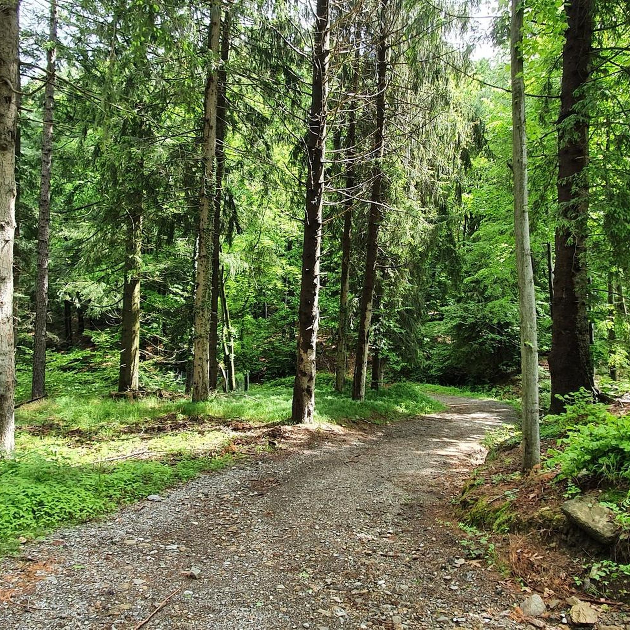
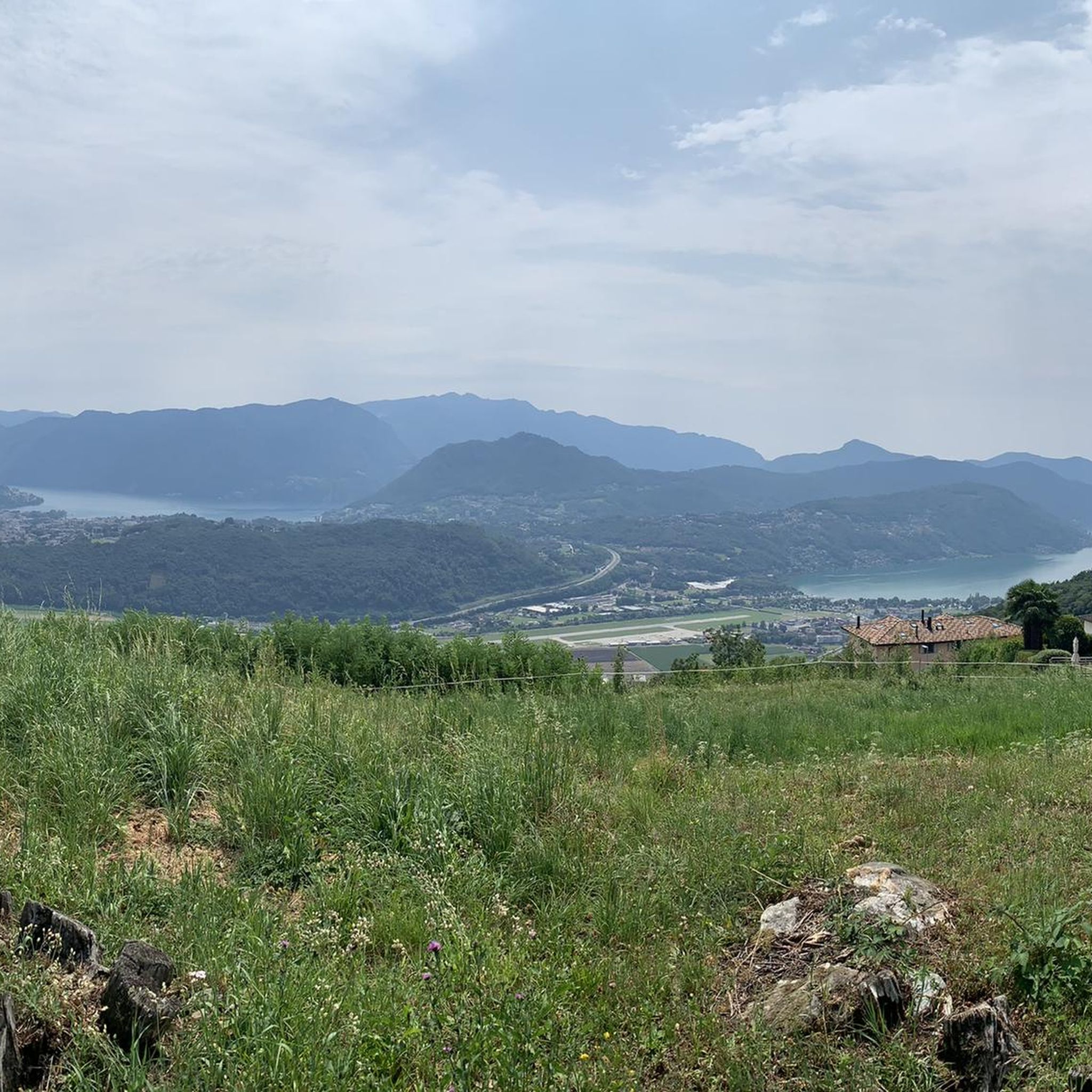
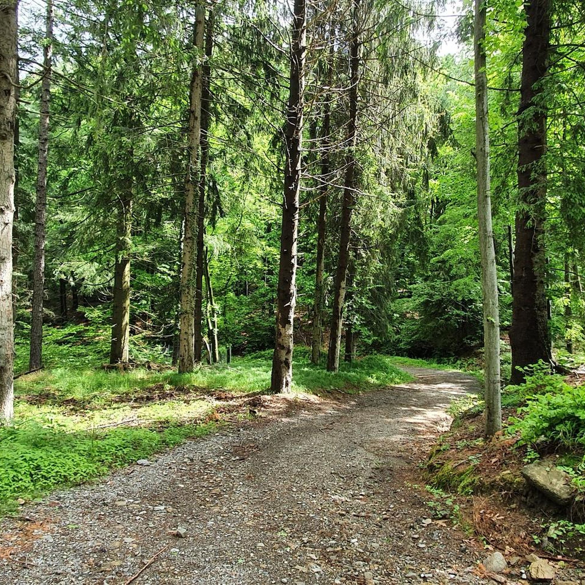
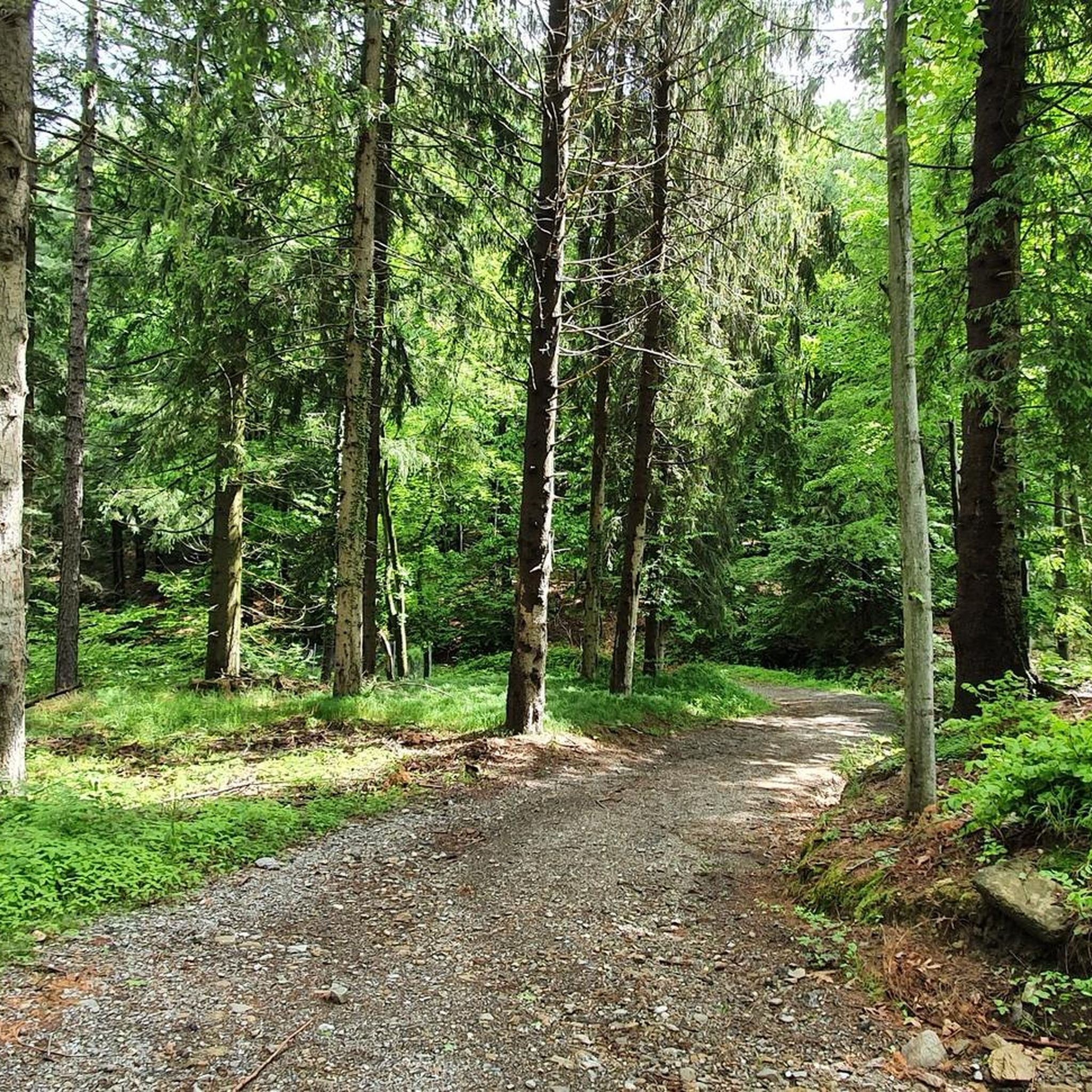
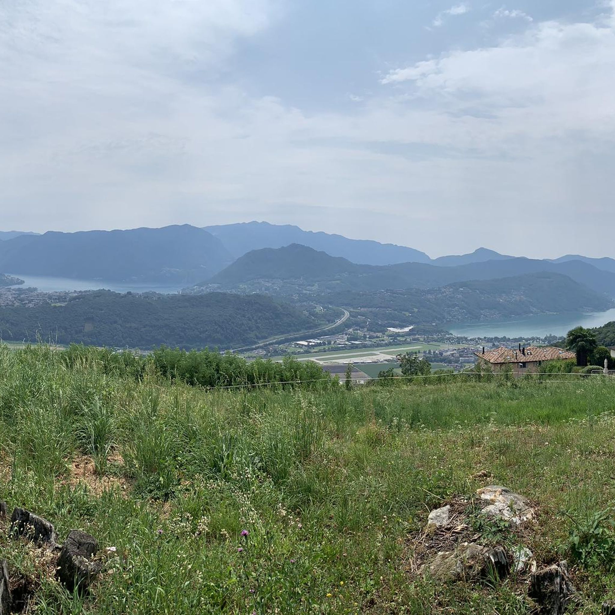
Mountaineering routes around Aranno are set within the mountainous and heavily forested Malcantone region of southern Switzerland, at an elevation of 707 meters (2,320 ft). This area is characterized by dense forests, alpine pastures, and a landscape that offers panoramic views of Lake Lugano and surrounding peaks. The region provides a diverse terrain for mountaineers, ranging from challenging ascents to routes through picturesque mountain villages.
Best mountaineering routes around Aranno
- The most popular mountaineering route is Monte San Salvatore –…
Last updated: October 1, 2026
4.8
(5)
40
hikers
4.39km
02:14
350m
350m
Hard mountaineering route. Good fitness required. Sure-footedness, sturdy shoes and alpine experience required.
5
hikers
11.7km
05:20
900m
900m
Hard mountaineering route. Very good fitness required. Mostly accessible paths. Sure-footedness required.

5.0
(1)
5
hikers
4.26km
01:48
260m
260m
Moderate mountaineering route. Great for any fitness level. Mostly accessible paths. Sure-footedness required.
7
hikers
6.88km
02:57
410m
410m
Hard mountaineering route. Good fitness required. Sure-footedness, sturdy shoes and alpine experience required.
5.0
(1)
4
hikers
8.78km
03:34
500m
500m
Moderate mountaineering route. Good fitness required. Mostly accessible paths. Sure-footedness required.
Our route recommendations are based on thousands of hikes, rides, and runs completed by other people on komoot.
Start today with a free account
Your next adventure awaits.

Tips from the Community

Very nice Ticino village. Accessible by Postauto.
0
0

Which direction would I like to take? Always so many possibilities to choose from here.
0
0
Always a beautiful destination for those starting from the valley or from Arosio.
0
0

Nice and cozy restaurant on the summit
8
0
Trips every 30 minutes
8
0

It's definitely tiring but the view makes up for the effort, if you want there's a cable car from Miglieglia😁
0
0

Here you take the mountain bike train up Monte Lema. Then you ride the mountain bike down to Italy and then back to Agno.
0
0
Frequently Asked Questions
How many mountaineering routes are available around Aranno?
There are several mountaineering routes around Aranno, with komoot featuring 6 distinct tours. These routes offer a variety of experiences within the mountainous and heavily forested Malcantone region.
Are there any family-friendly mountaineering routes near Aranno?
While specific 'family-friendly' designations aren't provided for these mountaineering routes, the Malcantone region generally offers numerous hiking trails with varying degrees of difficulty, including moderate options. For a less strenuous experience, you might consider the Monte San Salvatore – Puntobelvedere loop from Pazzallo, which is a moderate 3.0 miles (4.8 km) route, or the Monte San Salvatore loop from Lago di Lugano, a moderate 2.7 miles (4.3 km) trail, both offering scenic views without extreme difficulty.
Can I bring my dog on mountaineering routes in Aranno?
Generally, dogs are welcome on hiking trails in the Ticino region, but it's always advisable to keep them on a leash, especially in nature reserves, near livestock, or in crowded areas. Always check local signage for specific restrictions on individual routes.
What are some circular mountaineering routes in the Aranno area?
Many of the mountaineering routes around Aranno are designed as loops, allowing you to start and end in the same location. Examples include the Monte San Salvatore – Puntobelvedere loop from Pazzallo, the challenging Ristorante Ostello Vetta – Monte Lema loop from Miglieglia, and the Monte Ferraro loop from Alto Malcantone.
What kind of views can I expect on mountaineering routes around Aranno?
Mountaineering routes around Aranno offer breathtaking panoramic views. You can expect vistas of Lake Lugano, the surrounding mountainous Malcantone region, and distant peaks. Routes like the Monte San Salvatore – Puntobelvedere loop provide views of Monte San Salvatore and the Ceresio area, while the Monte Lema loop offers impressive views bordering Italy and Switzerland. The region is also known for its extensive forests and alpine pastures.
Are there any interesting landmarks or attractions to see along the mountaineering routes?
Yes, the region around Aranno is rich in natural beauty and points of interest. Along your mountaineering routes, you might encounter significant peaks like Monte Tamaro or Monte Lema. The Via Ferrata San Salvatore – Monte San Salvatore loop can lead you near the View from Monte San Salvatore, offering stunning perspectives. The area also features charming mountain villages and ancient alpine pastures.
What is the best time of year for mountaineering in Aranno?
The best time for mountaineering in Aranno and the Malcantone region is typically from spring through autumn. During these seasons, the weather is generally more stable, and trails are clear of snow, making for safer and more enjoyable conditions. While winter mountaineering is possible, it requires specialized gear and knowledge due to snow and ice conditions.
Are there options for beginners or less experienced mountaineers in Aranno?
Yes, while some routes are challenging, Aranno offers options for varying skill levels. Moderate routes like the Monte San Salvatore – Puntobelvedere loop from Pazzallo (3.0 miles, 2 hours 20 minutes) or the Monte San Salvatore loop from Lago di Lugano (2.7 miles, 1 hour 49 minutes) are suitable for those with some hiking experience looking to explore mountaineering in the region.
How can I reach the starting points of mountaineering routes in Aranno using public transport?
Aranno is part of the Lugano region, which has a public transport network. Many trailheads, especially those closer to larger towns like Lugano or Miglieglia (for Monte Lema access), are often accessible by bus or train. It's recommended to check local public transport schedules for specific route starting points before your trip.
Where can I park when planning a mountaineering trip in Aranno?
Parking availability varies by trailhead. For routes starting from villages or popular access points like Pazzallo or Miglieglia, you can often find designated parking areas. It's advisable to research specific parking options for your chosen route in advance, especially during peak seasons, as spaces might be limited.
Do I need any special permits for mountaineering in Aranno?
Generally, no special permits are required for hiking and mountaineering on established trails in the Aranno and Malcantone region of Ticino. However, if you plan to engage in more technical climbing or via ferrata routes in the broader Ticino canton, it's always wise to check with local alpine guides or authorities for any specific regulations or safety requirements.
What makes mountaineering in Aranno unique compared to other regions?
Mountaineering in Aranno is unique due to its location within the Malcantone region, characterized by its heavily forested, hilly landscape, ancient chestnut forests, and picturesque mountain villages. The routes offer a blend of natural beauty, cultural insights, and stunning views of Lake Lugano and the surrounding peaks, providing a distinct Swiss-Italian alpine experience.
What are some more challenging mountaineering routes for experienced individuals?
For experienced mountaineers seeking a challenge, routes like the Ristorante Ostello Vetta – Monte Lema loop from Miglieglia (7.1 miles, difficult) or the Monte Ferraro loop from Alto Malcantone (6.2 miles, difficult) offer significant elevation gain and longer durations. The Via Ferrata San Salvatore – Monte San Salvatore loop also presents a difficult option for those with appropriate skills and equipment.
What do other mountaineers say about the routes in Aranno?
The mountaineering routes around Aranno are highly regarded by the komoot community, with an average rating of 4.97 stars from over 16 reviews. Mountaineers often praise the diverse terrain, the stunning panoramic views of Lake Lugano and the surrounding mountains, and the well-maintained paths through dense forests and alpine pastures.
Most popular attractions around Aranno

Get inspired with the komoot mobile app


Explore more
Browse the best Mountain Hikes & Routes in other regions.
