The best running trails around Amlikon-Bissegg
4.2
(101)
2,801
runners
245
runs
Jogging around Amlikon-Bissegg offers diverse terrain, from flat riverside paths along the Thur River to rolling hills with varied ascents and descents. The region, located in the canton of Thurgau, Switzerland, features picturesque paths winding through meadows and past ponds. Runners can experience a mix of natural landscapes and elevated viewpoints, providing engaging routes for all abilities.
Best jogging routes around Amlikon-Bissegg
- The most popular jogging route is Ganggelisteg Suspension Bridge – Thur Bridge at Amlikon loop from Weinfelden, a 5.3 miles (8.6 km) trail that takes 54 minutes to complete. This route offers scenic riverside views along the Thur.
- Another top favourite among local runners is Running loop from Märstetten, a moderate 3.3 miles (5.3 km) path. This route provides a pleasant run through the local countryside.
- Local runners also love the Running loop from Weinfelden, a 3.3 miles (5.3 km) trail leading through varied terrain with minimal elevation gain, often completed in about 35 minutes.
- Jogging around Amlikon-Bissegg is defined by scenic riverside paths along the Thur, rolling hills, and picturesque routes through meadows and past ponds. The network offers options for easy, moderate, and more challenging running experiences.
- The routes in Amlikon-Bissegg are highly rated by the komoot community with an average score of 4.1 stars from over 80 reviews. More than 2600 runners have used komoot to explore Amlikon-Bissegg's varied terrain.
Last updated: October 4, 2026
3.0
(1)
17
runners
Moderate run. Good fitness required. Mostly paved surfaces. Suitable for all skill levels.
9
runners
5.35km
00:34
30m
30m
Moderate run. Good fitness required. Mostly paved surfaces. Suitable for all skill levels.

10
runners
5.33km
00:35
10m
10m
Moderate run. Good fitness required. Mostly paved surfaces. Suitable for all skill levels.
4.6
(9)
8
runners
8.09km
00:51
110m
110m
Moderate run. Good fitness required. Mostly paved surfaces. Suitable for all skill levels.
4.0
(2)
5
runners
Moderate run. Good fitness required. Mostly paved surfaces. Suitable for all skill levels.
Get access to more routes and recommendations from other explorers.
Already have an account?
Our route recommendations are based on thousands of hikes, rides, and runs completed by other people on komoot.
Start today with a free account
Your next adventure awaits.

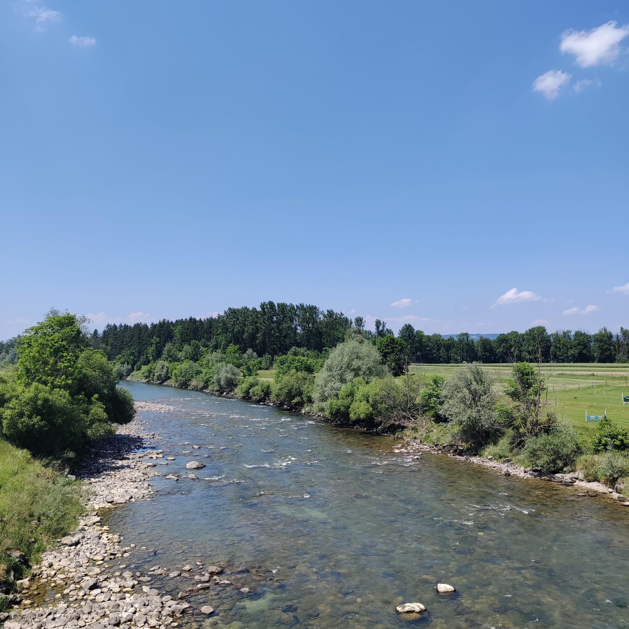
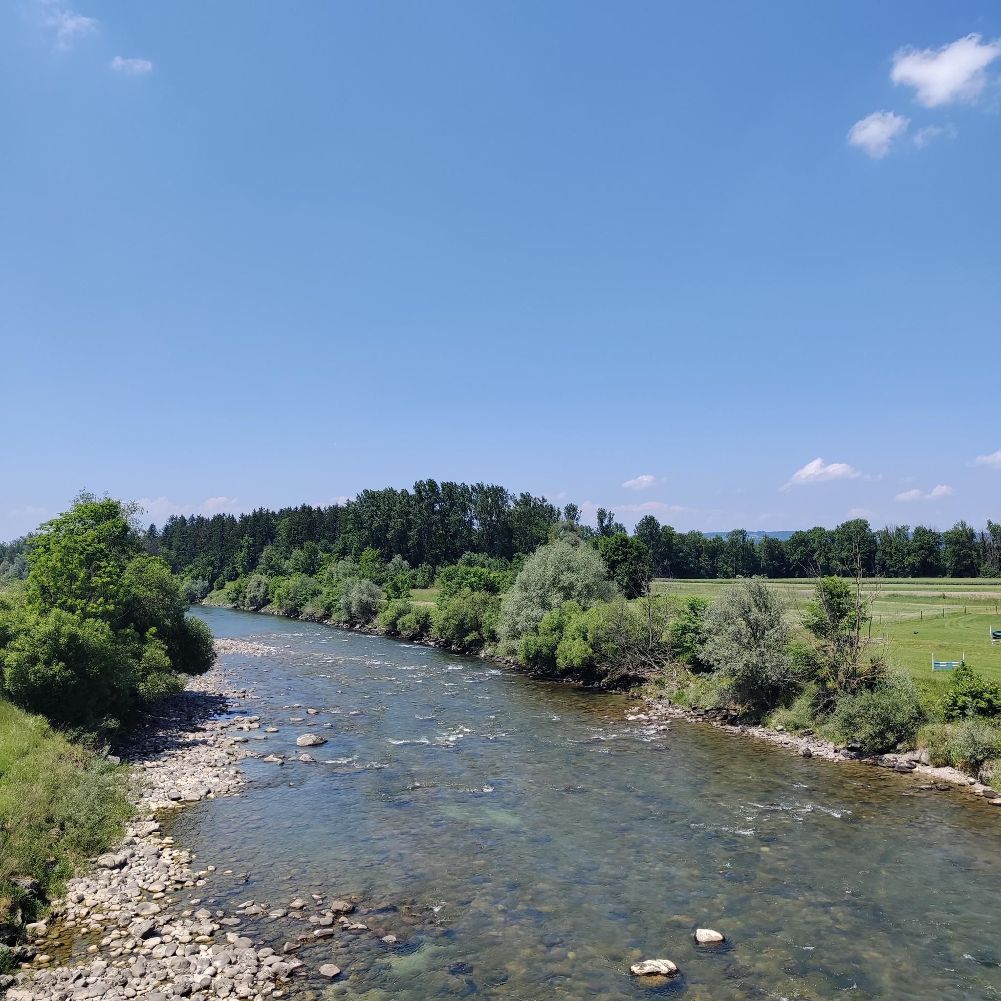
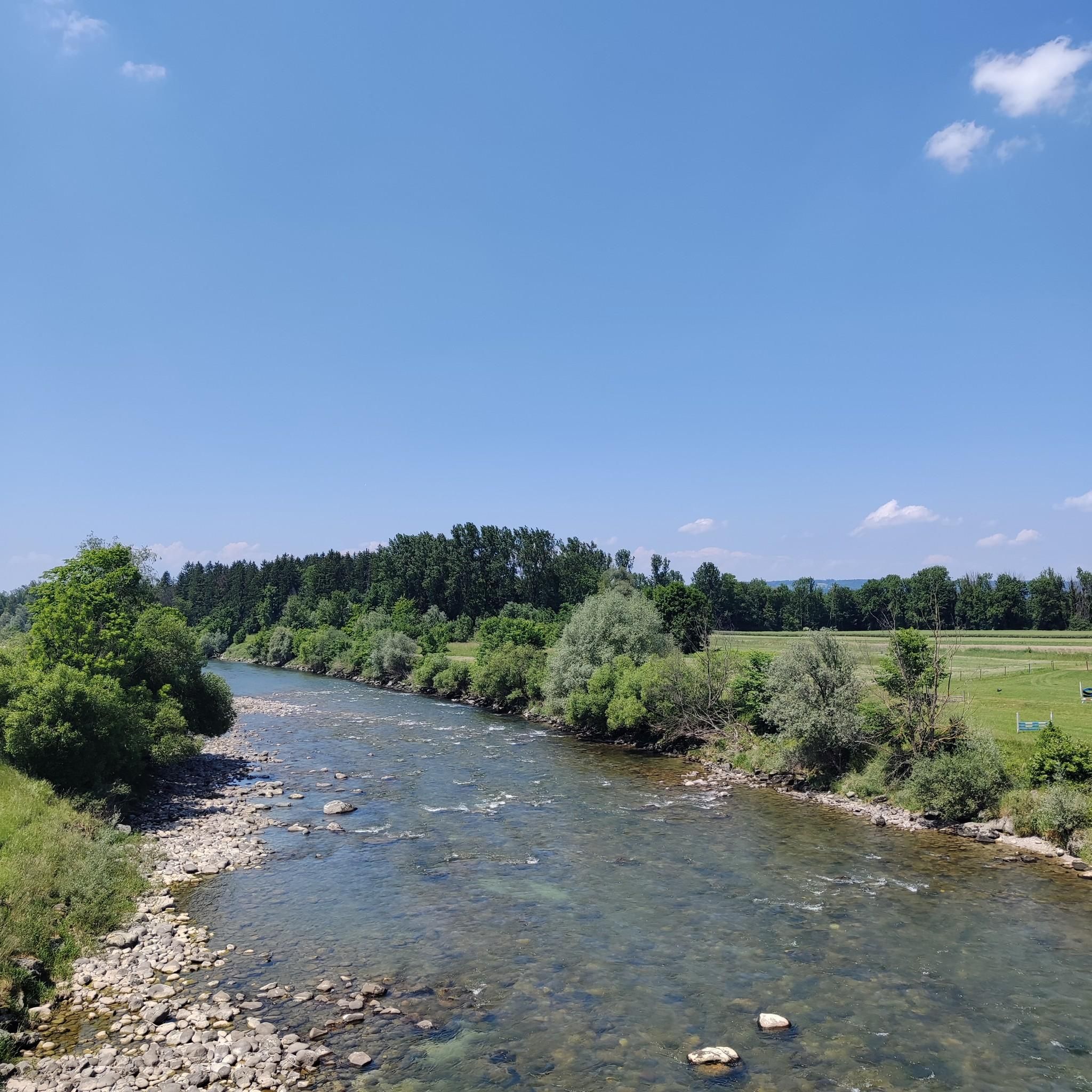
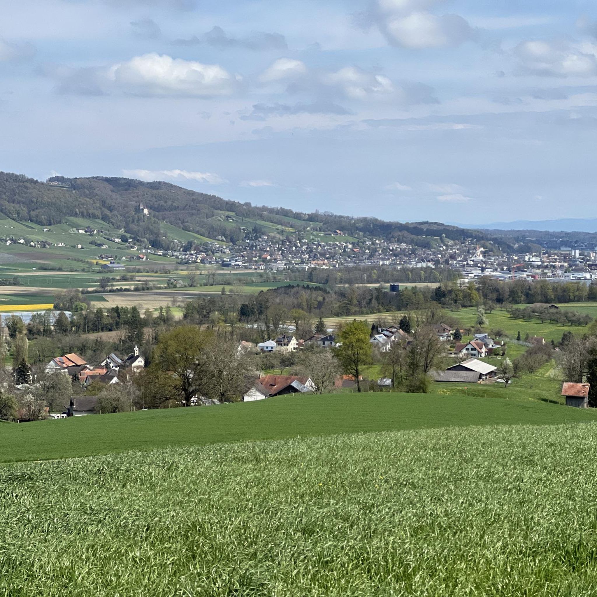
Other adventures around Amlikon-Bissegg

Tips from the Community

Well-equipped barbecue area. There's plenty of space for children to play. The stream bank is very shallow in places.
1
0

Grill grate and wood available.
0
0

Confluence of two small streams to form the already quite large Chemibacg, with 2 footbridges above it and next to it a barbecue area. Very idyllic, full of green nature.
1
0
Listed residential building with a mill from 1634. Here, after more than 200 years of operation, the foundation stone for the Zwicky mill was laid in 1892, which moved on in 1911. Between 2006 and 2014, the property was extended and lovingly converted and restored. The mill is still functional today.
2
0
The Ganggelisteg (Ganggeli = rocking) between Bussnang and Weinfelden was built in 1982.
2
0

Very old suspension bridge that leads over the Thur...
3
0


A Roman bridge once stood here. Now for us a gear list
3
0
Frequently Asked Questions
How many running routes are available in Amlikon-Bissegg?
Amlikon-Bissegg offers a wide selection of running routes, with over 250 trails available for you to explore. These range from easy riverside paths to more challenging routes through rolling hills.
What kind of terrain can I expect on the jogging trails around Amlikon-Bissegg?
The region features diverse terrain, from mostly flat riverside paths along the Thur River, perfect for relaxed jogs, to rolling hills with varied ascents and descents. You'll find picturesque paths winding through blooming meadows and past tranquil ponds, offering a dynamic and engaging running experience.
Are there running routes suitable for beginners or those looking for an easy jog?
Yes, Amlikon-Bissegg has several easy jogging routes. The flat riverside paths along the Thur River are particularly well-suited for beginners or those seeking a less strenuous run. Overall, 8 routes are classified as easy, and many moderate routes also have minimal elevation gain.
What do other runners say about the trails in Amlikon-Bissegg?
The running trails in Amlikon-Bissegg are highly regarded by the komoot community, boasting an average rating of 4.1 stars from over 80 reviews. More than 2600 runners have used komoot to explore the varied terrain, often praising the scenic riverside views and the well-maintained paths.
Can I find routes that pass by natural attractions like lakes or waterfalls?
Absolutely! Several running routes in the area will lead you past beautiful natural features. For example, you can find trails near the Bommer Weiher Water Lilies or the serene Roosetaaler Pond. There's even the Upper Rütibach Waterfall for a refreshing sight during your run.
Are there any scenic viewpoints along the running trails in Amlikon-Bissegg?
Yes, the region offers rewarding viewpoints. From locations like Strohwilen, you can enjoy fantastic views of the Toggenburg mountain panorama. For a more direct objective, consider routes that lead towards the Stählibuck Tower, which provides magnificent panoramic views, or the Nollen viewpoint.
Are there any historical or cultural landmarks to see while jogging?
Amlikon-Bissegg is rich in history. You can jog through charming old village centers with picturesque timber-frame houses, or pass by historical sites like the 'Chappeli' (Chapel Maria am hohen Weg) and the historically significant Griesenberg. The ancient Jakobsweg pilgrimage route also passes through the area, offering a unique cultural backdrop to your run.
Are there any circular running routes in the Amlikon-Bissegg area?
Yes, many of the running routes in Amlikon-Bissegg are circular, allowing you to start and end at the same point. A popular option is the Ganggelisteg Suspension Bridge – Thur Bridge at Amlikon loop from Weinfelden, which offers scenic riverside views. Another great choice is the Running loop from Märstetten, providing a pleasant run through the countryside.
Are there dog-friendly running trails in Amlikon-Bissegg?
While specific dog-friendly designations aren't always marked, many of the natural paths and riverside trails in Amlikon-Bissegg are suitable for running with dogs, provided they are kept on a leash and you adhere to local regulations. The varied terrain and open spaces make it a pleasant area for you and your canine companion.
What are some longer running routes for more advanced joggers?
For those seeking a longer challenge, routes like the Ganggelisteg Suspension Bridge – Thur Bridge at Amlikon loop from Weinfelden at 8.6 km, or the Klingenmühle loop from Märstetten at 8.1 km, offer moderate difficulty and more distance. The region's rolling hills also provide opportunities for increased elevation gain.
Are there running routes accessible by public transport or with parking facilities?
Many routes in Amlikon-Bissegg are designed to be accessible. For example, routes starting from Weinfelden or Märstetten are often well-connected by public transport. Additionally, trailheads frequently have parking available, making it convenient to start your run. It's always a good idea to check the specific route details on komoot for parking and public transport information.
What is the best time of year for jogging in Amlikon-Bissegg?
Amlikon-Bissegg offers enjoyable jogging conditions throughout much of the year. Spring and autumn provide pleasant temperatures and beautiful scenery with blooming meadows or colorful foliage. Summer is also great, especially for riverside runs, while winter can offer crisp, scenic jogs, though some paths might be affected by snow or ice.
Most popular routes around Amlikon-Bissegg
Most popular attractions around Amlikon-Bissegg

Get inspired with the komoot mobile app


Explore more
Browse the best Running Trails & Routes in other regions.
