The best running trails around Siguer
4.5
(48)
3,476
runners
151
runs
Jogging routes around Siguer traverse a mountainous landscape characterized by high peaks, deep valleys, and natural parks. The region features challenging ascents and descents, often leading through alpine meadows and past mountain lakes. Runners can expect varied terrain, from well-defined paths to more rugged trails, offering a true mountain running experience.
Best jogging routes around Siguer
- The most popular jogging route is Port de Siguer - Rialb Valley Loop Trail, a 6.3 miles (10.2 km) trail that takes 1…
Last updated: July 31, 2026
32
runners
10.2km
01:49
690m
700m
Hard run. Very good fitness required. Sure-footedness, sturdy shoes and alpine experience required.
21
runners
12.7km
02:20
1,030m
1,030m
Hard run. Very good fitness required. Mostly paved surfaces. Suitable for all skill levels.

Sign up for free
11
runners
9.97km
01:58
730m
740m
Hard run. Very good fitness required. Sure-footedness, sturdy shoes and alpine experience required.
9
runners
Hard run. Good fitness required. Sure-footedness, sturdy shoes and alpine experience required.
7
runners
13.2km
02:24
1,050m
1,050m
Hard run. Very good fitness required. Mostly paved surfaces. Suitable for all skill levels.
Get access to more routes and recommendations from other explorers.
Sign up for free
Already have an account?
Our route recommendations are based on thousands of hikes, rides, and runs completed by other people on komoot.
Start today with a free account
Your next adventure awaits.
Login or Signup


Tips from the Community

The refuge offers accommodation and catering. Friendly hosts and reasonable prices.
1
0

Great panoramic view of France and Spain and the mega beautiful mountain scenery. I am very happy that the weather held up during our ascent. It was really mega beautiful up there. However, the ascent and descent are not for the inexperienced.
0
0

The climb is steep, but manageable. The view from up there, stretching far into France, is definitely worth it!
0
0

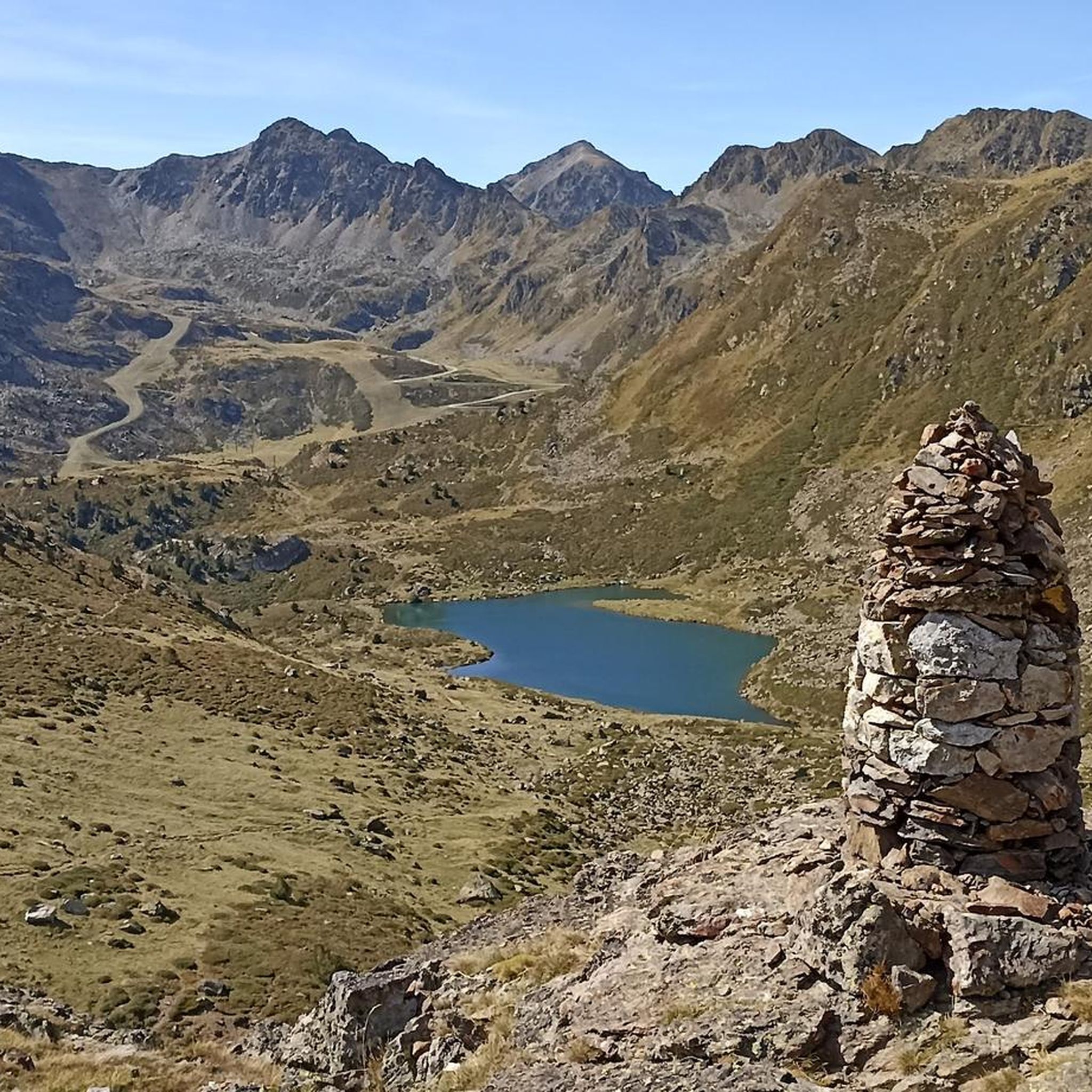
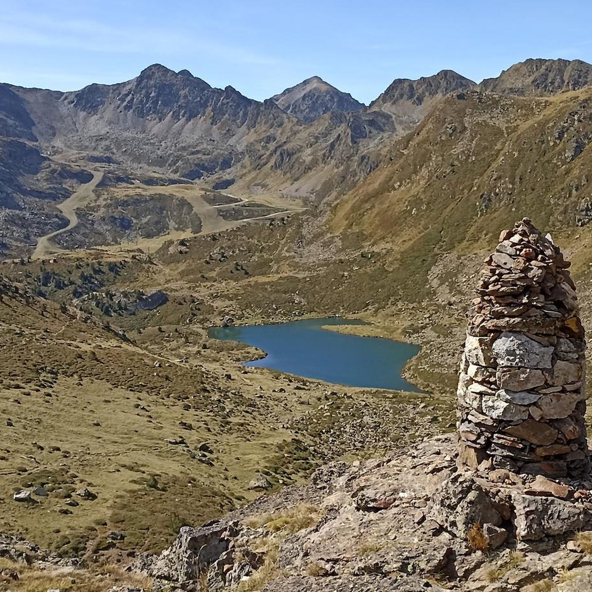
Mountain pass that is located on its west side of Pic de Port de Siguer and that carries the same new. From the top you can see Étang Blaou.
0
0
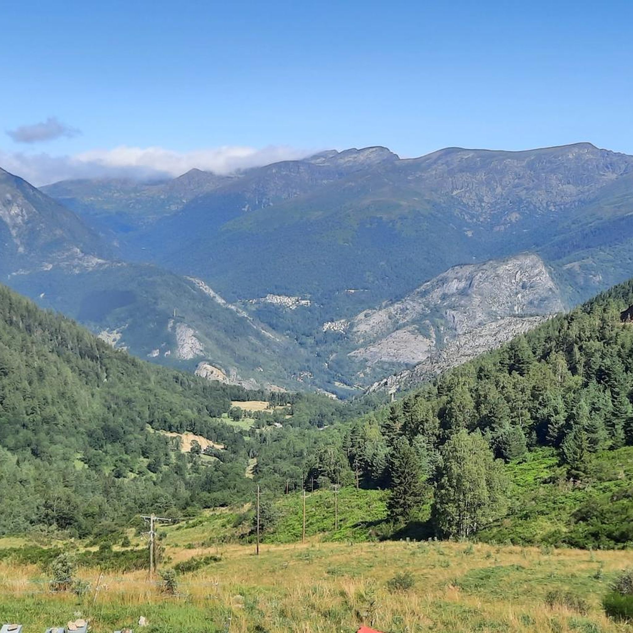
Beautiful valley less known than the Sorteny valley and which is a valley that opens towards the north in the direction of Port de Siguer.
0
0
A peak that can be accessed from the valleys of Ransol and Sorteny and that, once at the top, also offers us excellent views of Coma Pedrosa, and beyond the Andorran borders, of Pica d'Estats and the massif of the Maladeta Fourth highest peak in Andorra.
0
0
If you come from its crest, you will reach the top of Pic de l'Estanyo, which offers incredible views of the area and is also not a technical peak if you want to run.
0
0
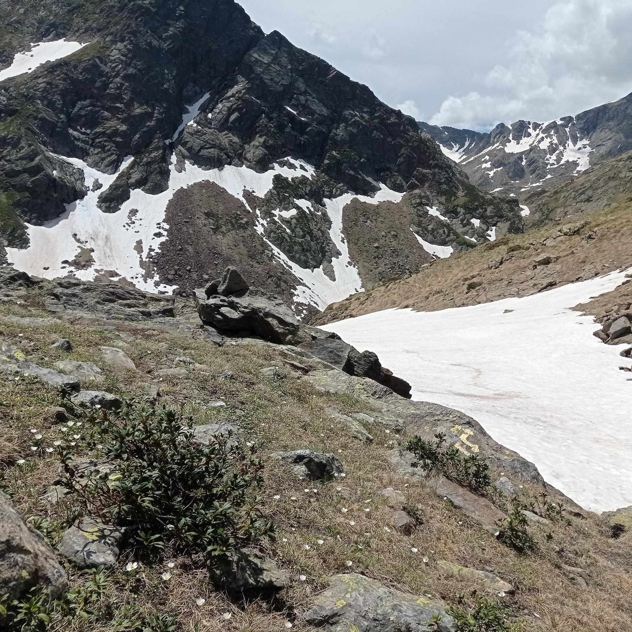
Between Pic de la Serrera and what is called Pic de la Cabaneta we find this Meners pass. It helps to turn on both peaks that are found at the same time.
0
0
Frequently Asked Questions
Are there easy running routes in Siguer?
Yes, while Siguer is known for its challenging mountainous terrain, there are 7 easy running routes available. These routes offer a less strenuous experience while still allowing you to enjoy the region's natural beauty.
What are the typical distances for running routes in Siguer?
Running routes in Siguer vary significantly in length due to the mountainous landscape. You'll find options ranging from shorter paths, like the 4.3 km From Borda de Sorteny to the viewpoint of Grau de Llosa, to longer, more demanding trails such as the 13.2 km Pic de l'Estanyó Loop Trail.
Can I bring my dog on the running trails in Siguer?
Many trails in the Siguer region, especially those within natural parks like the Sorteny Valley Natural Park, are generally dog-friendly. However, it's always recommended to keep dogs on a leash to protect local wildlife and ensure a pleasant experience for all users. Check specific park regulations before you go.
When is the best time of year to go running in Siguer?
The best time for running in Siguer is typically from late spring to early autumn (May to October). During these months, the weather is generally milder, and the trails are free of snow, making for safer and more enjoyable conditions. The alpine meadows are particularly beautiful in summer.
What kind of gear should I bring for running in Siguer's mountainous terrain?
Given Siguer's mountainous landscape with significant elevation changes and varied terrain, it's advisable to bring trail running shoes with good grip, layered clothing suitable for changing mountain weather, water, and possibly trekking poles for stability on steeper sections. A map or GPS device is also recommended.
Are there circular running routes in Siguer?
Yes, many of the running routes in Siguer are designed as loops, offering varied scenery without retracing your steps. Popular circular options include the Port de Siguer - Rialb Valley Loop Trail and the Pic de Besalí Loop.
What do runners say about the trails in Siguer?
The running routes in Siguer are highly rated by the komoot community, with an average score of 4.4 stars from over 40 reviews. Runners often praise the challenging ascents, panoramic views from peaks like Pic de la Serrera, and the natural beauty of the Sorteny Valley Natural Park.
Are there any running routes in Siguer with huts or cafes nearby for refreshments?
Yes, some running routes pass by or near mountain huts (refuges) where you can often find refreshments or even overnight stays. For example, the area around Sorteny Valley features the Refuge Borda de Sorteny, which can be a welcome stop on longer runs.
Which running routes offer the best scenic viewpoints in Siguer?
For breathtaking views, consider routes that ascend to higher elevations. The Pic de la Serrera Loop from Sorteny Valley offers panoramic vistas from the summit. Additionally, the Tristaina Solar Viewpoint is a notable attraction in the wider region that provides stunning scenery.
Are there family-friendly running options in Siguer?
While many routes are challenging, families looking for a less strenuous run can explore the easier trails, particularly those within the Sorteny Valley Natural Park. These often feature well-defined paths and offer opportunities to enjoy nature, such as the Sorteny Valley Botanical Garden.
How many running routes are available around Siguer?
There are over 130 running routes available around Siguer, catering to various fitness levels. This extensive network includes 7 easy routes, 33 moderate routes, and 92 difficult routes, ensuring options for everyone from beginners to experienced mountain runners.
What kind of natural attractions can I see along the running routes in Siguer?
Running routes in Siguer often lead through diverse natural landscapes. You can expect to see alpine meadows, mountain lakes, and high peaks. Notable attractions include the Sorteny Valley Botanical Garden and various summits like Coma Pedrosa Summit and Pic de Casamanya.
Most popular attractions around Siguer

Get inspired with the komoot mobile app


Explore more
Browse the best Running Trails & Routes in other regions.
