The best running trails around Lercoul
4.5
(28)
2,822
runners
129
runs
Jogging around Lercoul offers a compelling environment for outdoor activities, situated within the Pyrénées Ariégeoises Regional Natural Park. The region is characterized by its mountainous landscapes and rugged terrain, providing varied gradients for runners. This area features significant elevation changes, high-altitude lakes, and diverse ecosystems, making it ideal for those seeking challenging and scenic running routes.
Best jogging routes around Lercoul
- The most popular jogging route is Estany Esbalçat Loop Trail, a 3.7 miles (6.0 km) trail that takes…
Last updated: July 31, 2026
3
runners
5.98km
01:04
440m
440m
This difficult 3.7-mile circular jogging route to Estany Esbalçat offers high-mountain views and a challenging ascent in Andorra.
53
runners
Hard run. Very good fitness required. Sure-footedness, sturdy shoes and alpine experience required.

Sign up for free
27
runners
11.1km
01:32
490m
490m
Hard run. Very good fitness required. Sure-footedness, sturdy shoes and alpine experience required.
22
runners
7.94km
01:57
980m
980m
Hard run. Very good fitness required. Mostly paved surfaces. Suitable for all skill levels.
21
runners
7.83km
01:56
980m
980m
Hard run. Very good fitness required. Mostly paved surfaces. Suitable for all skill levels.
Get access to more routes and recommendations from other explorers.
Sign up for free
Already have an account?
Our route recommendations are based on thousands of hikes, rides, and runs completed by other people on komoot.
Start today with a free account
Your next adventure awaits.
Login or Signup

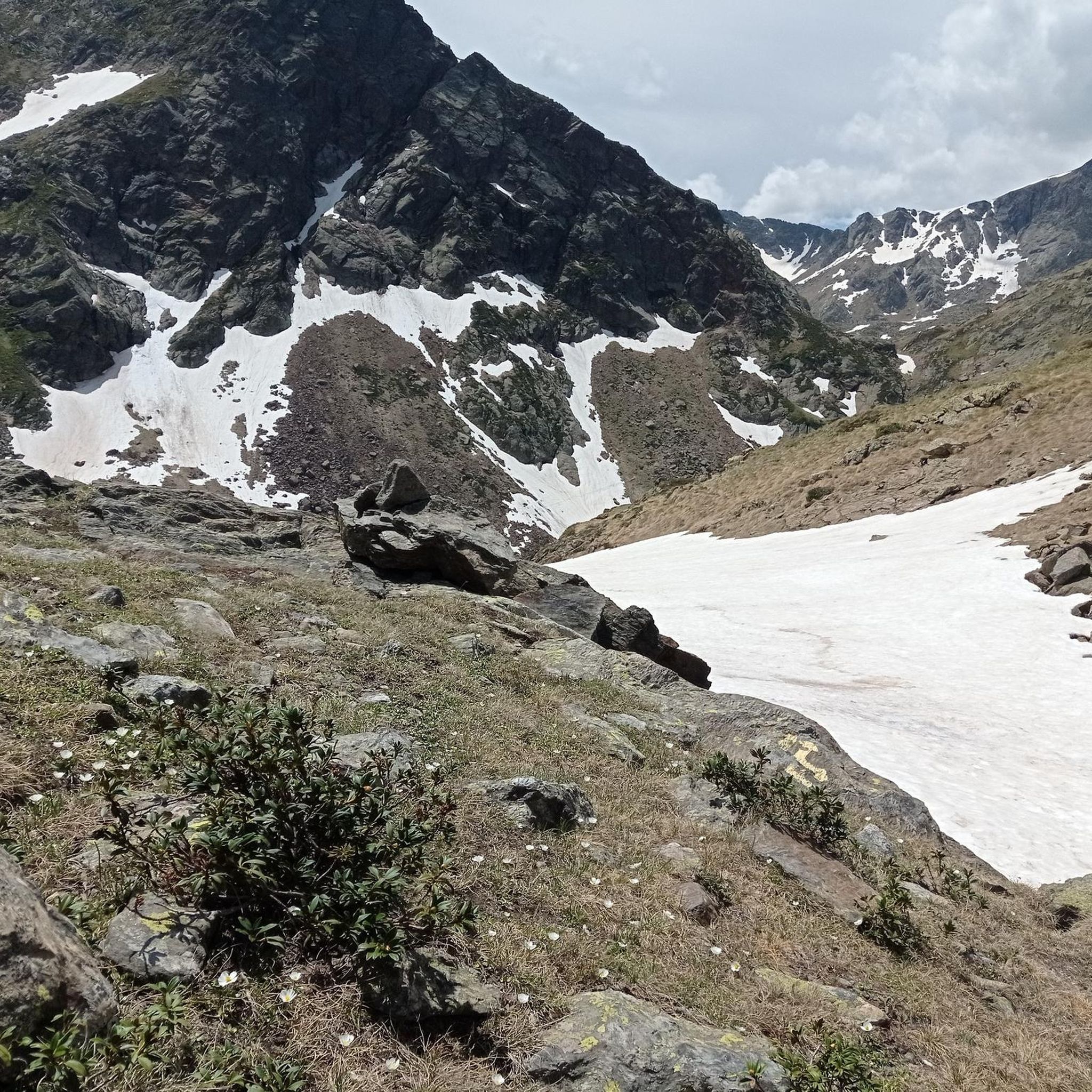
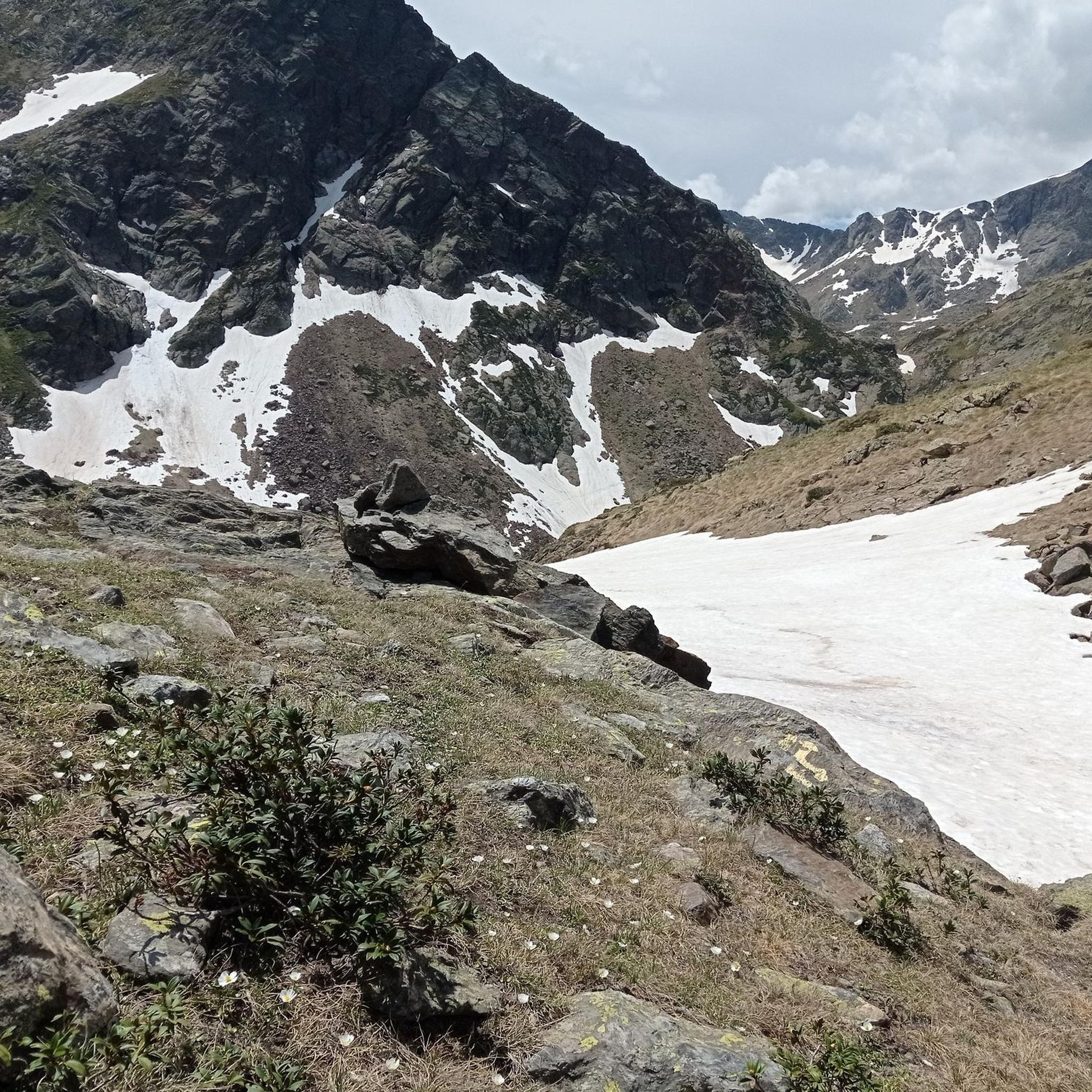
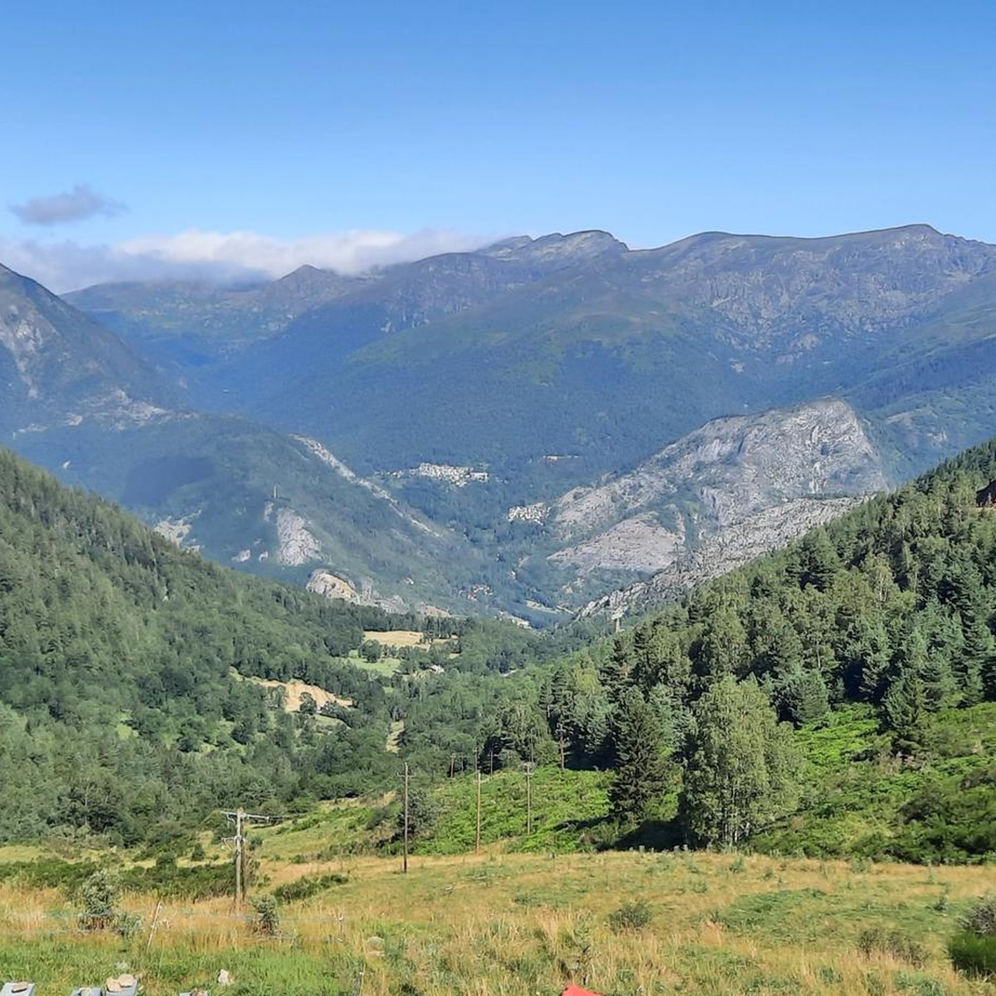
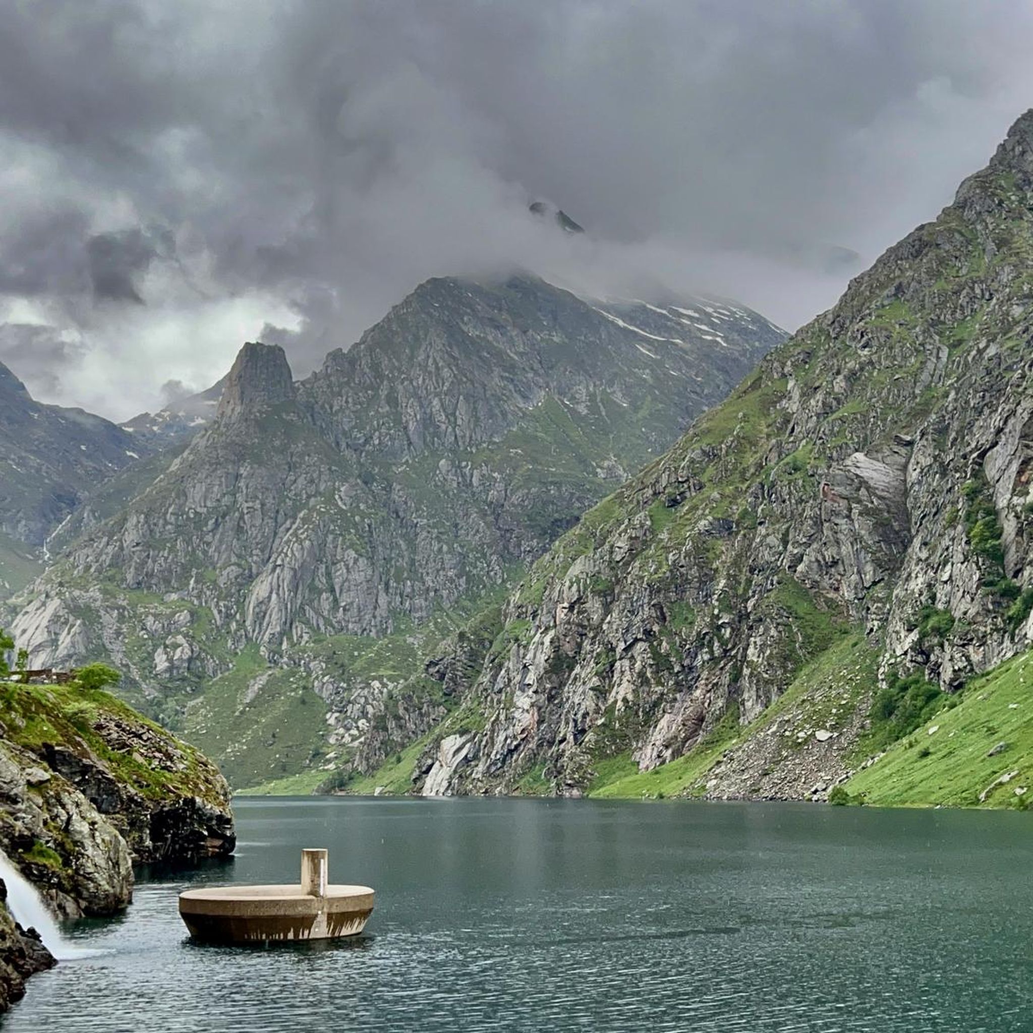

Other adventures around Lercoul

Tips from the Community

The prince of the Ordino valley
0
0
A haven of freshness and tranquility
0
0

Solar viewpoint on the Peyraguils pass or summit, a metal structure that allows a 360° view of the valleys of the Andorran Pyrenees and the Aran Valley, with views of Aneto.
2
0

Here again: Someone is rating ALL photos of highlights in this region (Northwest Pyrenees) "not accurate," even though they accurately depict the location? Why does anyone need to do that? Is it jealousy? Does someone want to drag down others' "expert" ratings? How pathetic.
1
1

It is one of the highest points accessible by mountain bike (MTB) and eBike in Andorra. It is a popular destination among cyclists due to its spectacular surroundings and the challenges offered by the climb. The starting point at the Ordino Arcalís ski resort to the summit of Les Portelles covers approximately 7.5 kilometers. The cumulative elevation gain is significant, reaching 700 meters of vertical ascent from the base of the resort to the summit of Les Portelles, which is located at about 2,560 meters above sea level. The terrain is varied, combining asphalt sections in the initial parts with dirt and gravel tracks as you ascend. In some places, the terrain becomes more technical, especially near the summit, where rocks and the incline add difficulty. The climb is considered high difficulty due to the elevation gain and terrain conditions. It is a demanding route for both MTB cyclists and eBike users, who will enjoy the additional challenge offered by the altitude and the changing conditions of the high mountain climate.
0
0
The structure is designed to mark the hours of sunlight throughout the day, allowing visitors to experience how sunlight interacts with the structure at different times. In short, the Tristaina Solar Viewpoint is a work by Rafael Galindo, built in Corten steel and inaugurated in 2021, which celebrates the sun and its daily journey, offering a unique experience in one of the most impressive natural settings in Andorra.
1
0

Beautiful small meltwater depression pond under the Pic de Creussans and the Pic de Cabanyó.
0
0
There are some incredible viewing platforms in Andorra and the huge suspended ring sphere from the Tristaina solar viewpoint near Arcalís is one of them. Offering some of the most spectacular panoramic views of Andorra and the Pyrenees from the summit of Peyreguils at 2701 meters above sea level, on the border with France. There may be some challenging sections, but the views are worth it.
2
0
Frequently Asked Questions
How many running routes are available around Lercoul?
Lercoul, nestled within the Pyrénées Ariégeoises Regional Natural Park, offers a wide selection of outdoor activities. You'll find over 100 running routes in the area, catering to various skill levels and preferences.
Are there running routes suitable for beginners in Lercoul?
While Lercoul is known for its mountainous and challenging terrain, there are a few easier running paths available. The region offers 3 routes classified as easy, perfect for those new to trail running or looking for a more relaxed jog.
What kind of terrain can I expect on jogging trails in Lercoul?
The jogging trails in Lercoul are primarily characterized by mountainous terrain, offering significant elevation changes and varied gradients. You can expect a mix of challenging uphill climbs and scenic descents, often winding through diverse ecosystems within the Pyrénées Ariégeoises Regional Natural Park. This makes for a dynamic and engaging running experience.
What natural features or landmarks can I see while running in Lercoul?
Lercoul's location in the Pyrénées Ariégeoises Regional Natural Park means you'll encounter stunning natural beauty. Many routes feature high-altitude lakes, such as the Black Lake of Comapedrosa, and offer breathtaking viewpoints like the Tristaina Solar Viewpoint. You might also pass by natural monuments like the Sorteny Valley Botanical Garden.
Are there any circular running routes in the Lercoul area?
Yes, many of the running routes around Lercoul are designed as loops, allowing you to start and finish at the same point. For example, the challenging Portella de Rialb – Pic de Font Blanca loop from Ordino-Arcalís is a great option for experienced runners seeking a circular trail with significant elevation.
What do other runners enjoy most about jogging in Lercoul?
The running routes in Lercoul are highly rated by the komoot community, with an average score of 4.5 stars from over 29 reviews. Runners frequently praise the stunning mountainous landscapes, the challenge of the varied terrain, and the pristine natural environment of the Pyrénées Ariégeoises Regional Natural Park.
Can I find long-distance running trails around Lercoul?
Yes, Lercoul offers several longer running trails for those seeking endurance challenges. Many routes, especially those classified as difficult, extend for several kilometers with considerable elevation gain, providing ample opportunity for long-distance training amidst the Pyrenean scenery.
Is Lercoul a good destination for family-friendly jogging?
While many routes in Lercoul are challenging, the region does offer a few easier paths that could be suitable for families looking for a gentle jog. It's best to check the difficulty rating and distance of specific routes to ensure they align with your family's fitness levels. The natural park setting provides a beautiful backdrop for outdoor family time.
Are there any dog-friendly running trails in Lercoul?
Many trails within the Pyrénées Ariégeoises Regional Natural Park are generally dog-friendly, allowing you to enjoy a run with your canine companion. However, it's always recommended to keep dogs on a leash, especially in protected areas or near livestock, and to check specific trail regulations before heading out.
What is the best time of year to go running in Lercoul?
The best time to go running in Lercoul largely depends on your preference. Spring and autumn offer pleasant temperatures and vibrant scenery, ideal for most runners. Summer provides warmer weather, but higher altitudes can offer cooler conditions. Winter running is possible, especially on lower trails, but requires appropriate gear due to snow and ice, particularly at higher elevations where ski resorts operate.
Are there any running routes that lead to a summit or offer panoramic views?
Absolutely! The mountainous nature of Lercoul means many routes offer incredible panoramic views and lead to summits. For instance, the challenging Pic de Font Blanca loop from Cabana de la Pleta del Castellar will take you to high elevations with expansive vistas of the surrounding Pyrenees.
Where can I find parking for running trails in Lercoul?
Given Lercoul's location within a regional natural park and its focus on outdoor activities, many trailheads and popular starting points for running routes will have designated parking areas. It's advisable to check the specific route details on komoot for information on parking availability at the start of your chosen trail.
Most popular attractions around Lercoul

Get inspired with the komoot mobile app


Explore more
Browse the best Running Trails & Routes in other regions.
