The best mountain hikes around Mels
4.8
(28)
341
hikers
24
hikes
Mountaineering routes Mels offer access to a rich mountainous region in the canton of St. Gallen, Switzerland. The area is characterized by majestic peaks, diverse alpine landscapes, and deep valleys like the Weisstannen Valley. Notable features include the turquoise Wildsee lake, impressive waterfalls, and numerous summits providing expansive panoramic views. This varied terrain provides a range of challenging ascents and scenic paths for mountaineers.
Best mountaineering routes around Mels
- The most popular mountaineering route is Wildsee – Schotten Lake loop…
Last updated: November 6, 2026
5.0
(5)
36
hikers
11.2km
05:36
710m
710m
Hard mountaineering route. Very good fitness required. Sure-footedness, sturdy shoes and alpine experience required.
4.7
(3)
25
hikers
5.89km
03:31
600m
600m
Hard mountaineering route. Good fitness required. Sure-footedness, sturdy shoes and alpine experience required.

18
hikers
13.1km
06:37
1,050m
1,060m
Hard mountaineering route. Very good fitness required. Sure-footedness, sturdy shoes and alpine experience required.
15
hikers
14.9km
07:16
1,270m
1,270m
Hard mountaineering route. Very good fitness required. Sure-footedness, sturdy shoes and alpine experience required.
5.0
(2)
16
hikers
11.0km
03:58
590m
590m
Hard mountaineering route. Good fitness required. Sure-footedness, sturdy shoes and alpine experience required.
Get access to more routes and recommendations from other explorers.
Already have an account?
Our route recommendations are based on thousands of hikes, rides, and runs completed by other people on komoot.
Start today with a free account
Your next adventure awaits.
Popular around Mels
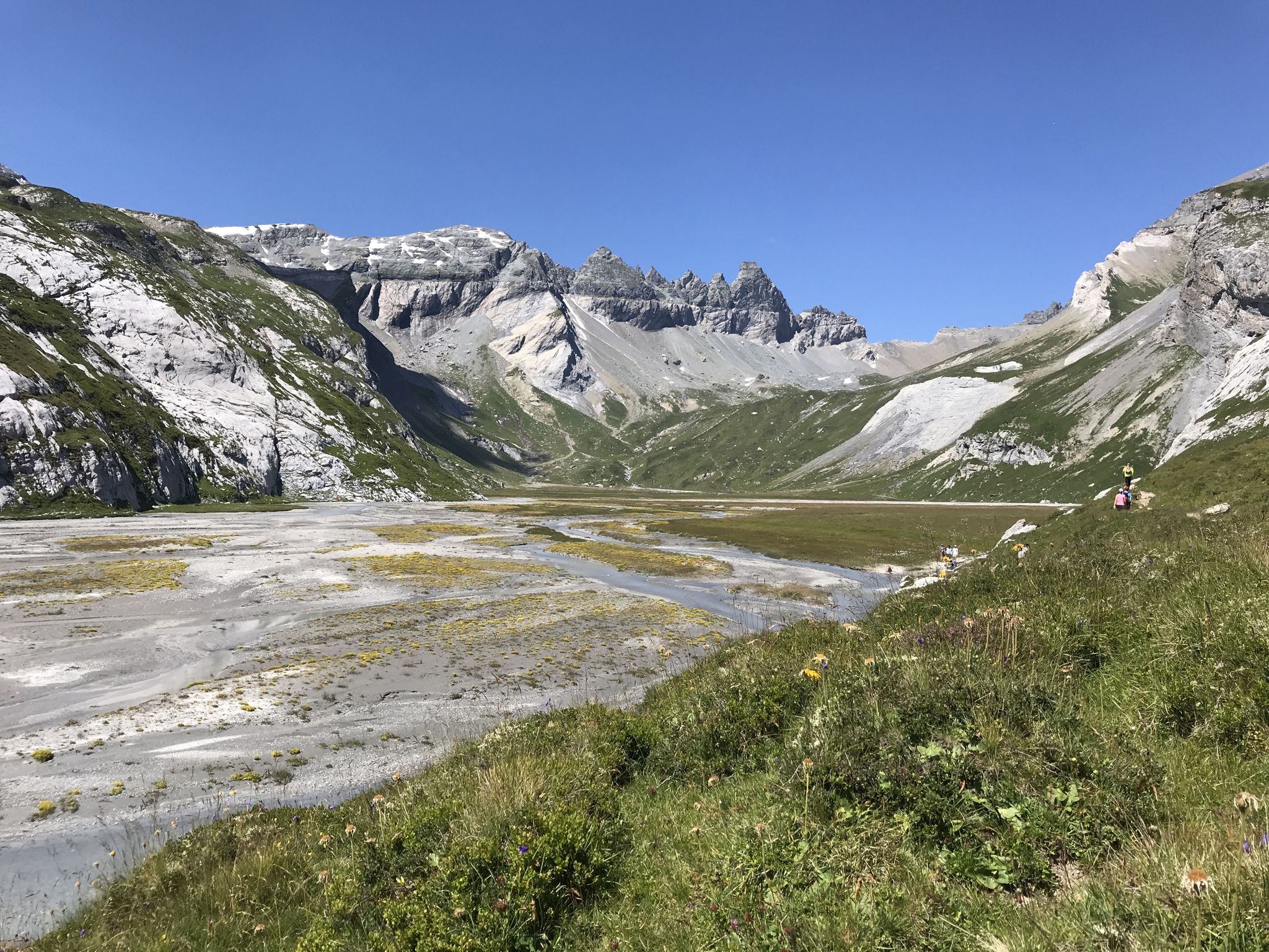
Sardona World Heritage Trail – Where the Alps once formed
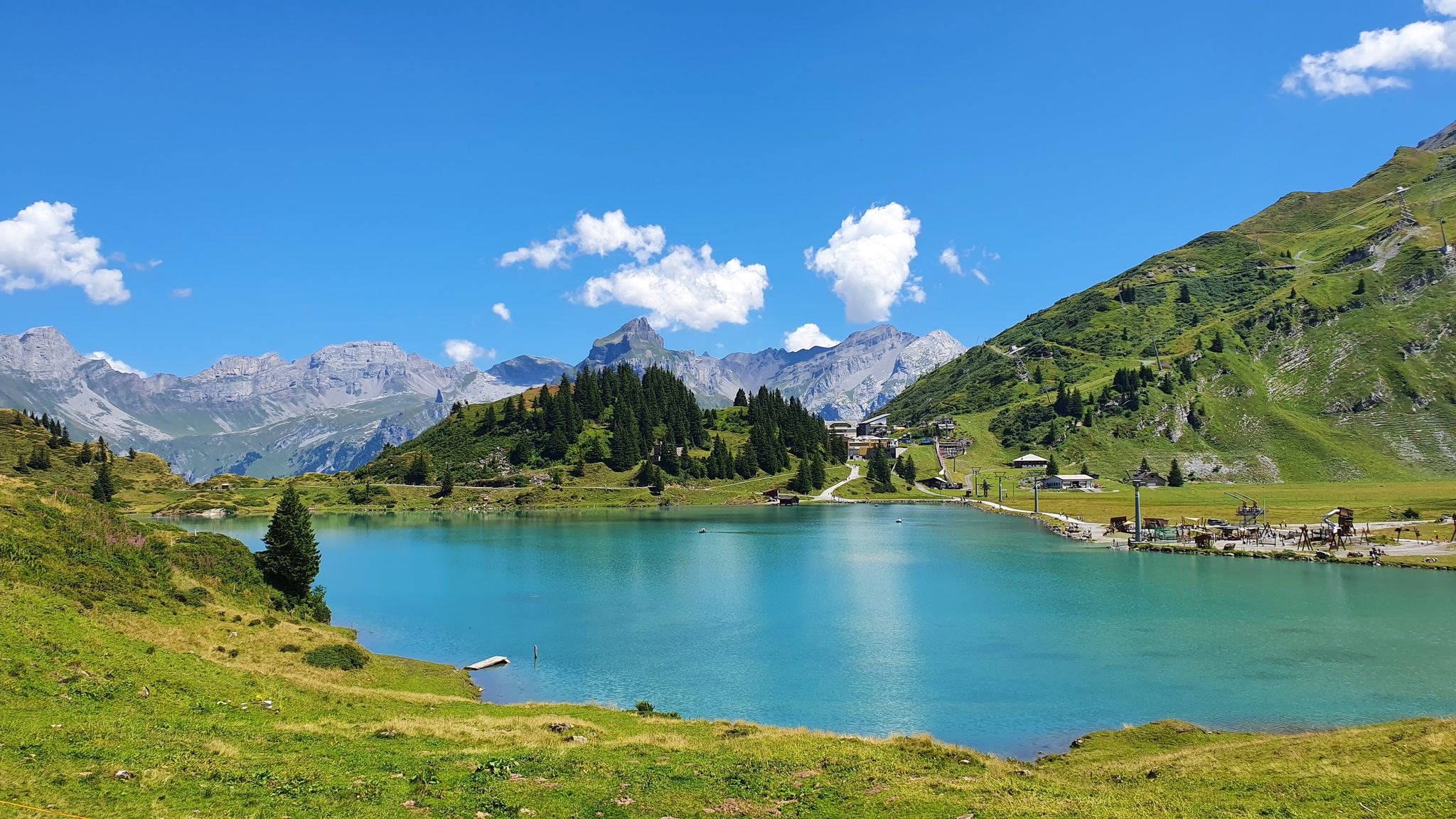
Via Alpina – The 15 stages of the Green Route
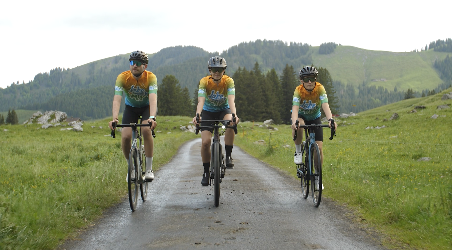
Lake and Alps Adventure – explore 100 dreamy places in our cycling region!
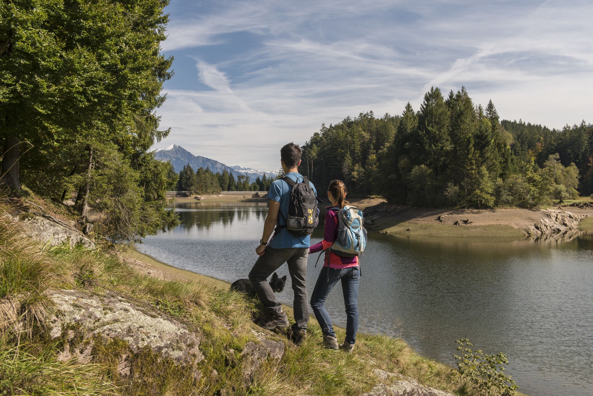
Summer in Eastern Switzerland – 10 hikes in Heidiland
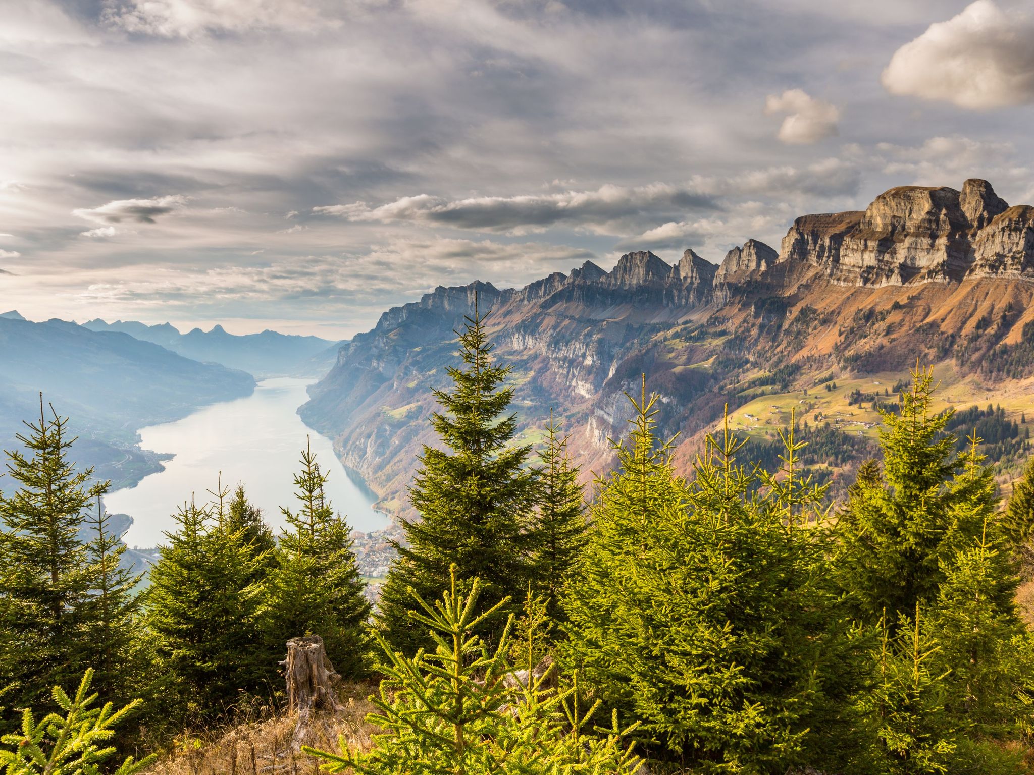
Blue lakes, wide panoramas & autumnal splendour – hiking in Heidiland
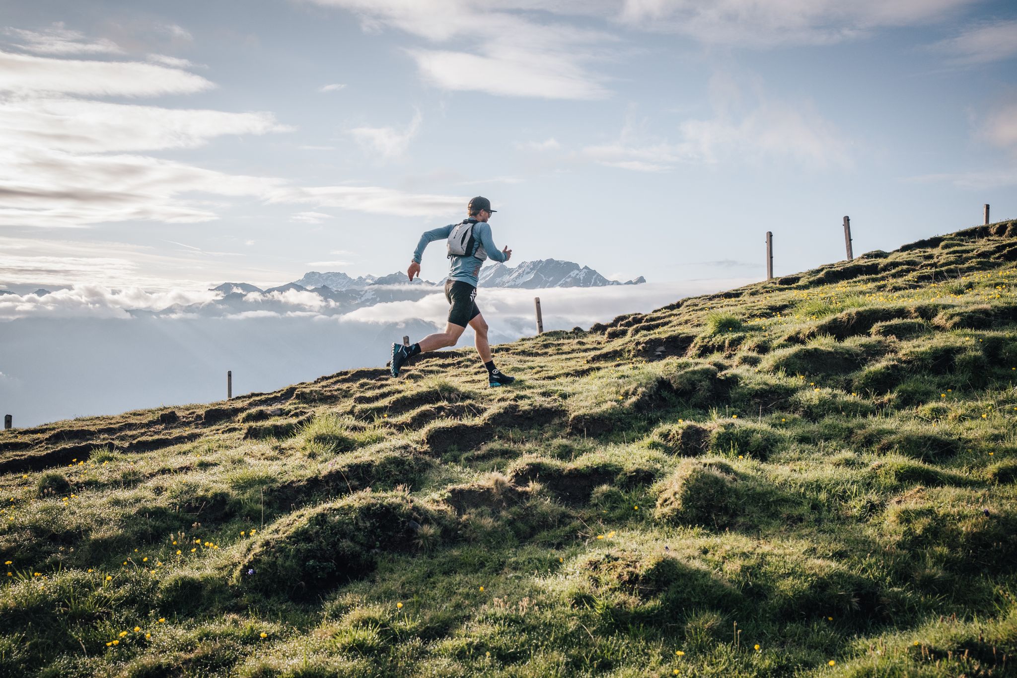
Trailrunner-Geheimtipp: Herausfordernde Trails & bequeme Rückfahrt mit der Seilbahn Palfries
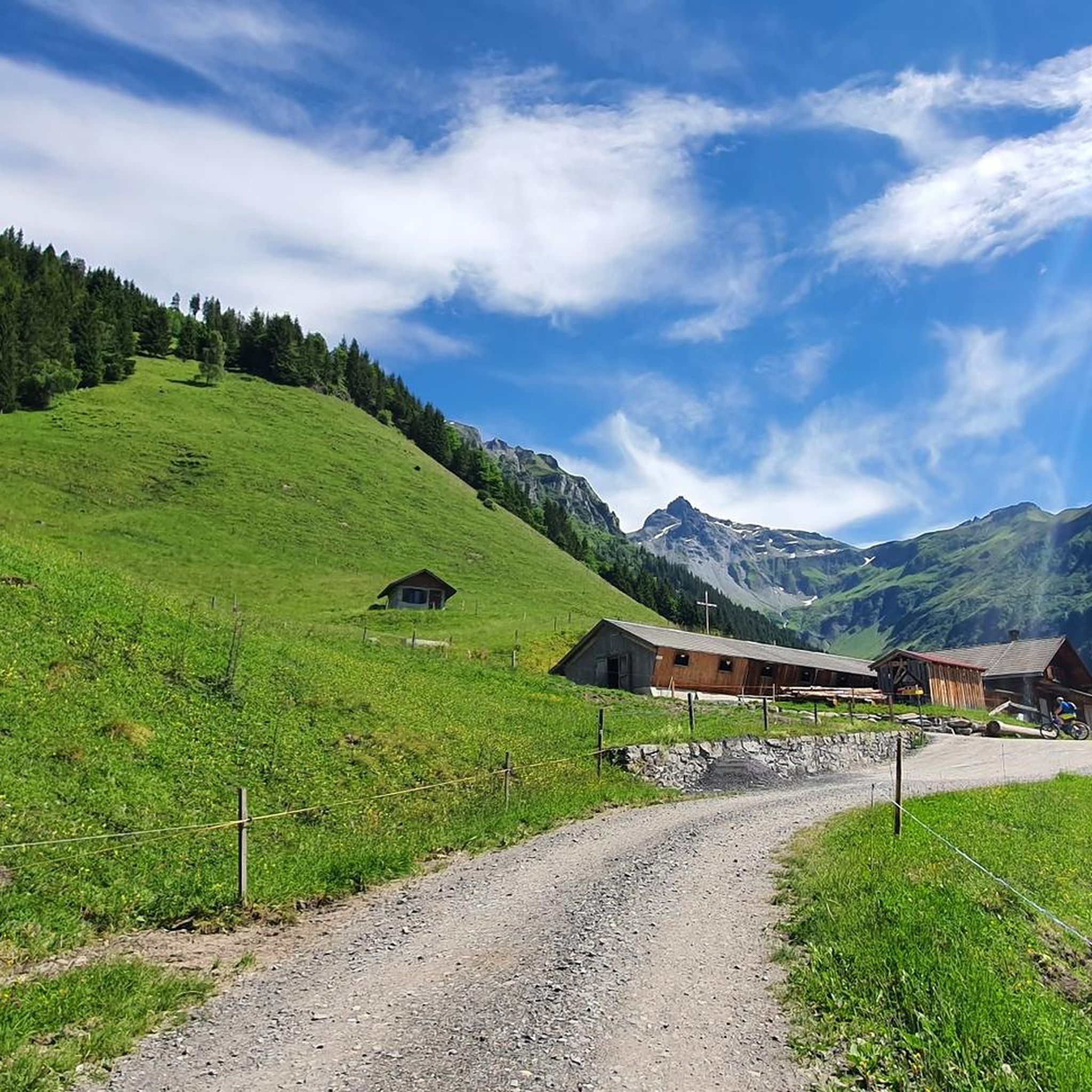
Hiking around Mels
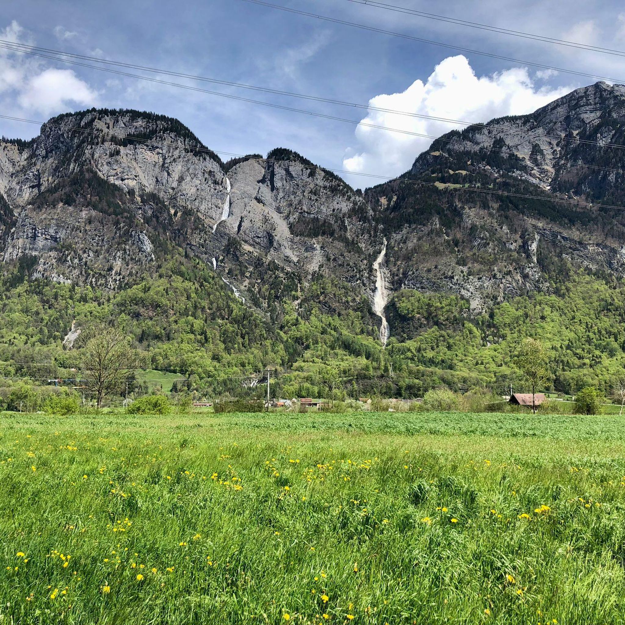
Cycling around Mels
MTB Trails around Mels
Road Cycling Routes around Mels
Other adventures around Mels


Tips from the Community

perfect for recharging your batteries. In autumn: game dishes. Tip: must from Vetsch in Grabs
0
0
Stop for a bite and recharge your batteries. Tip: Must (cider) from Vetsch in Grabs. In autumn: Game dishes.
0
0

pretty here, very pretty
0
0
pretty here, very pretty
0
0
Frequently Asked Questions
How many mountaineering routes are available around Mels?
Mels offers a diverse range of mountaineering experiences with approximately 30 routes. These include 14 moderate and 16 difficult trails, catering to various skill levels.
What kind of views can I expect on mountaineering routes near Mels?
The region around Mels is renowned for its majestic peaks and panoramic vistas. You can expect breathtaking views of the St. Gallen and Chur Rhine Valleys, Prättigau, Bündner Herrschaft, Sarganserland, and even the Principality of Liechtenstein from summits like the Pizalun Summit. From the Alvier Peak, you'll see Walensee, the Rhine valley towards Lake Constance, and mountains stretching across Appenzell, St. Gallen, Glarus, Graubünden, Liechtenstein, and Vorarlberg.
Are there any easier mountaineering routes suitable for beginners or families?
While many routes are challenging, there are moderate options available. For instance, the Valley View – Suspension Bridge loop from Weisstannen is a moderate 11.1 km trail that takes about 5 hours, leading through the wild and romantic Weisstannen Valley. This offers a less strenuous yet rewarding experience.
Are there any circular mountaineering routes in the Mels area?
Yes, several circular routes allow you to start and end at the same point. The Wildsee – Schotten Lake loop from Pizolhütte is a popular difficult option, exploring the stunning Pizol area. Another challenging circular route is the Alvier Summit Hut – Alvier Summit loop from Gauschla, offering magnificent views.
Can I find routes that feature waterfalls near Mels?
Absolutely! The Weisstannen Valley, accessible from Mels, is home to the impressive Waterfall Arena Batöni. A hike into this area will lead you to three spectacular waterfalls plunging downwards, offering a truly wild and romantic landscape for exploration.
What are some notable natural attractions or landmarks to see along the mountaineering routes?
Beyond the stunning peaks, you can encounter several natural highlights. The turquoise Wildsee lake in the Pizol area is a major draw. The Pizalun Summit and Viewpoint offers expansive views with an accessible steel staircase to a viewing platform. You might also encounter the Margelchopf Summit, known for its well-maintained paths.
Are there any mountain huts or restaurants along the trails for refreshments?
Yes, the region provides options for refreshments. The Alvier Peak, for example, features the Alvier hut, inviting visitors to linger and enjoy the views. In the Pizol area, the Pizolhütte is a well-known mountain restaurant and a common starting or ending point for many tours, including the Pizolhütte Mountain Restaurant – Wildsee loop.
What do other mountaineers enjoy the most about mountaineering in Mels?
The mountaineering routes around Mels are highly rated by the komoot community, with an average score of 4.9 stars from over 40 reviews. Mountaineers frequently praise the region's diverse alpine landscapes, the breathtaking panoramic views from various summits, and the challenging yet rewarding nature of the trails, especially those in the Pizol area featuring the iconic Wildsee lake.
Are there any long-distance or more challenging mountaineering routes for experienced hikers?
For experienced mountaineers seeking a challenge, Mels offers several demanding routes. The Gonzenleiterweg – Gonzen Middle Band loop from Sargans is a difficult 18.3 km trail with significant elevation gain, typically taking over 7 hours to complete. The Pizol area also provides challenging multi-summit ascents, such as the 'Summit Quartet' which involves climbing four peaks: Pizol, Hochwart, Gamidauerspitz, and Garmil.
What is the best season for mountaineering in Mels?
The best season for mountaineering in Mels is generally from late spring to early autumn (May to October), when trails are clear of snow and weather conditions are most favorable. During this period, you can fully enjoy the diverse landscapes, from alpine meadows to high mountain passes. Some higher altitude routes, especially in the Pizol area, may still have snow patches earlier in the season.
Are there any historical sites or castles near the mountaineering routes?
Yes, the region around Mels is rich in history. While on your mountaineering adventure, you might consider visiting nearby historical sites. Notable castles in the vicinity include Sargans Castle, Wartau Castle Ruins, and Gräpplang Castle Ruins, offering a glimpse into the area's past.
Most popular attractions around Mels

Get inspired with the komoot mobile app


Explore more
Browse the best Mountain Hikes & Routes in other regions.
