The best walks and hikes around Santo-Pietro-Di-Venaco
4.4
(2706)
15,353
hikers
144
hikes
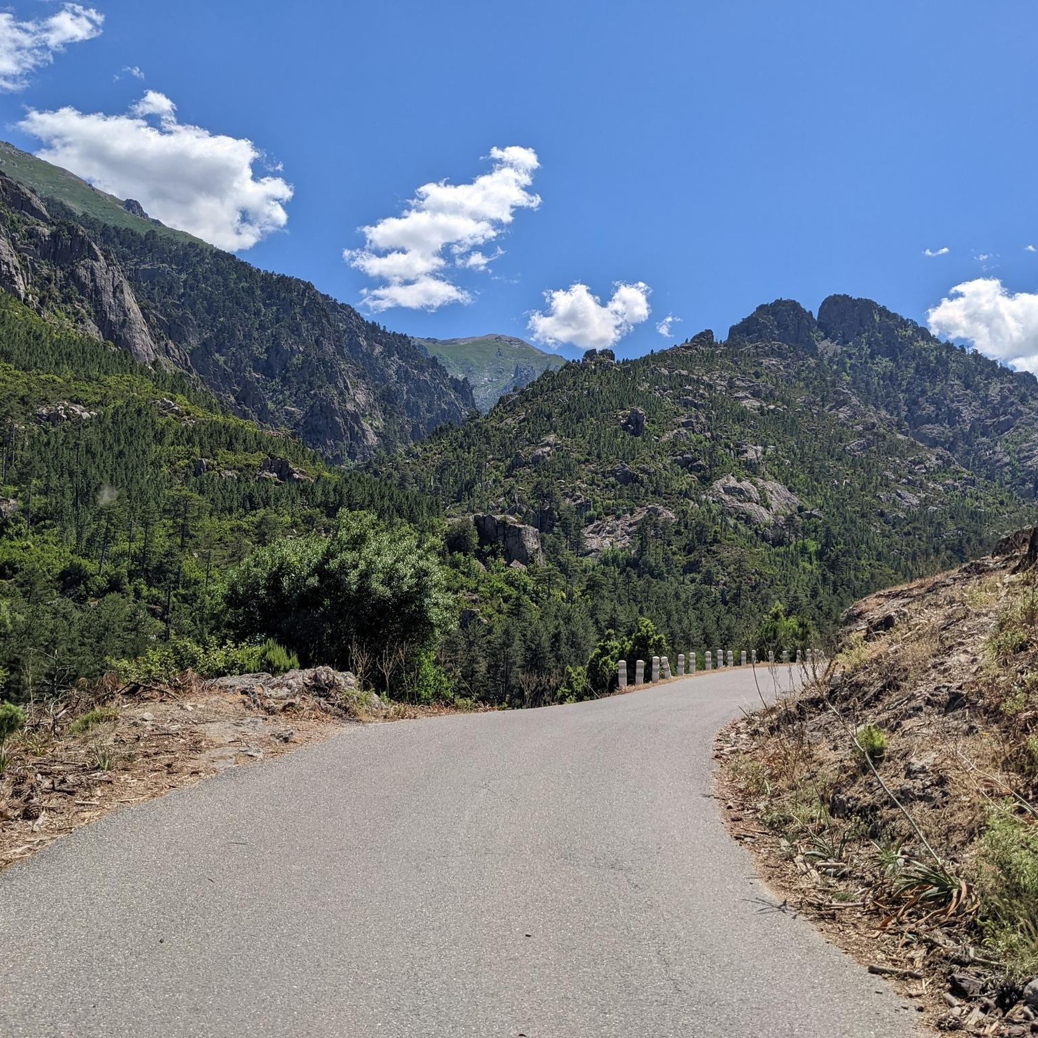
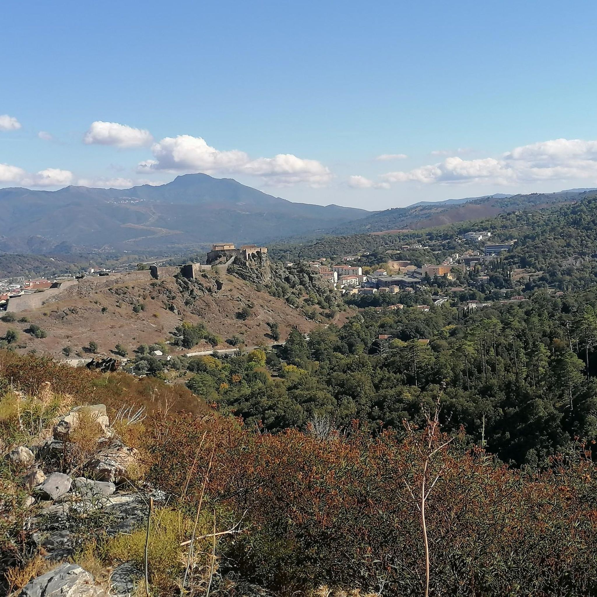
Hiking trails around Santo-Pietro-Di-Venaco are situated in a traditional mountain village at 850 meters above sea level in Haute-Corse, offering a diverse natural environment. The region features varied topography, including pastoral areas, dramatic mountain landscapes, jagged ridges, and deep valleys. Hikers can explore shady forests, lunar plateaus, and access high-altitude peaks and lakes, with clear streams and rivers like the U Misognu punctuating the terrain. Elevated viewpoints provide panoramic views of the surrounding Venacais villages and the Restonica Valley.
Best hiking trails around Santo-Pietro-Di-Venaco
- The most popular hiking route is Source St Eliseu Sta Sabina – Sant'Eliseu Chapel loop from Santo-Pietro-di-Venaco, a 5.8 miles (9.4 km) trail that takes 5 hours to complete. This difficult route ascends through mountainous terrain to the Sant'Eliseu Chapel, a notable pilgrimage site.
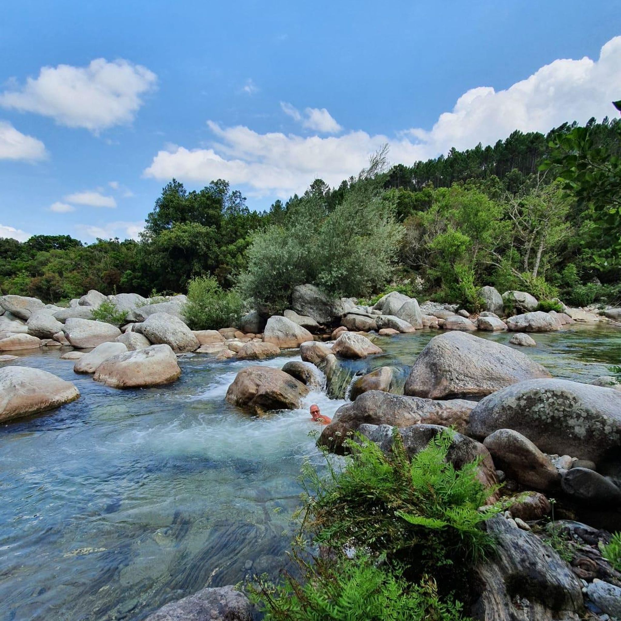
- Another top favourite among local hikers is Vecchio River Swimming Spot – Nuceta Bridge loop from Venaco, a moderate 5.6 miles (9.0 km) path. This trail follows the Vecchio River, offering refreshing sights and sounds, and takes approximately 2 hours 50 minutes to complete.
- Local hikers also love the Sant'Eliseu Chapel – Venaco loop from Venaco, a 8.6 miles (13.8 km) trail leading through varied landscapes with significant elevation gain, often completed in about 5 hours 52 minutes.
- Hiking around Santo-Pietro-Di-Venaco is defined by mountainous terrain, deep valleys, and shady forests. The network offers options for different ability levels, from easy walks to challenging routes leading to high-altitude peaks.
- The routes in Santo-Pietro-Di-Venaco are highly rated by the komoot community with an average score of 4.37 stars from over 2800 reviews. More than 16000 hikers have used komoot to explore Santo-Pietro-Di-Venaco's varied terrain.
Last updated: May 12, 2026
4.7
(30)
183
hikers
Hard hike. Very good fitness required. Mostly accessible paths. Sure-footedness required.
4.2
(23)
90
hikers
8.96km
02:49
350m
350m
Moderate hike. Good fitness required. Easily-accessible paths. Suitable for all skill levels.

Sign up for free
5.0
(2)
32
hikers
13.7km
05:51
940m
940m
Hard hike. Very good fitness required. Mostly accessible paths. Sure-footedness required.
5.0
(2)
32
hikers
14.6km
07:40
1,570m
1,570m
Hard hike. Very good fitness required. Mostly accessible paths. Sure-footedness required.
5.0
(2)
27
hikers
Hard hike. Very good fitness required. Mostly accessible paths. Sure-footedness required.
Get access to more routes and recommendations from other explorers.
Sign up for free
Already have an account?
Our route recommendations are based on thousands of hikes, rides, and runs completed by other people on komoot.
Start today with a free account
Your next adventure awaits.
Login or Signup

Tips from the Community

The crossing points are only accessible to campsite residents; it is private property!
0
0
You can't cross the campsite, it's private property, you have to take the Noceta bridge
0
0
Access to the campsite is reserved for campsite residents. Private property!
3
1


Stone bench with a small table. Perfect place for a break with a breathtaking view.
0
0

The Vecchio rises on the Monte d'Oro and is initially called Agnone. This river is best known for its Cascades des Anglais, which attract hundreds of tourists every day in high season. From the hamlet of Vizzavona onwards, the river is called Vecchio and you only meet very few people. Shortly after entering Canaglia, it joins the Manganello. Here the Vecchio valley becomes very lonely. On the right-hand side, far above the riverbed, the railway line winds its way along the hills, barely visible. You don't notice the busy T20, which lies behind the hills. You only see it when you get off at the Ponte Vecchio. High above us, it crosses the Vecchio valley on the new bridge. Later, the Vecchio flows into the Tavignano, which reaches the sea near Aléria.
1
0
The Vecchio rises on the Monte d'Oro and is initially called Agnone. This river is best known for its Cascades des Anglais, which attract hundreds of tourists every day in high season. From the hamlet of Vizzavona onwards, the river is called Vecchio and you only meet very few people. Shortly after entering Canaglia, it joins the Manganello. Here the Vecchio valley becomes very lonely. On the right-hand side, far above the riverbed, the railway line winds its way along the hills, barely visible. You don't notice the busy T20, which lies behind the hills. You only see it when you get off at the Ponte Vecchio. High above us, it crosses the Vecchio valley on the new bridge. Later, the Vecchio flows into the Tavignano, which reaches the sea near Aléria.
1
0
Frequently Asked Questions
How many hiking trails are available around Santo-Pietro-Di-Venaco?
There are over 150 hiking trails around Santo-Pietro-Di-Venaco, offering a wide range of options for all skill levels. This includes 43 easy routes, 52 moderate routes, and 55 difficult routes, ensuring there's something for everyone.
What is the best time of year to go hiking in Santo-Pietro-Di-Venaco?
The ideal time for hiking in Santo-Pietro-Di-Venaco is from mid-April to the end of October. Spring (April-June) is particularly beautiful for its vibrant flora and pleasant temperatures, while summer allows access to higher-altitude peaks and lakes.
Are there any family-friendly hiking options in the area?
Yes, Santo-Pietro-Di-Venaco offers several family-friendly hiking options. A lovely 4 km hike combines pastoral environments with a mountain atmosphere, perfect for families. Additionally, the 'Berceries trail' near Corte is ideal for younger children, featuring short, flat paths and opportunities to observe animals.
What kind of natural features can I expect to see on the trails?
The region boasts diverse natural features, from pastoral landscapes to dramatic mountain terrain. You'll encounter jagged ridges, deep valleys, shady forests, and lunar plateaus. Clear streams and rivers like the U Misognu, known for its trout, punctuate the landscape. Don't miss the Lake Melo and Lake Capitello in higher altitudes.
Are there any circular walks available around Santo-Pietro-Di-Venaco?
Yes, many routes in the area are circular, allowing you to start and end in the same location. An example is the challenging Sant'Eliseu Chapel – Source St Eliseu Sta Sabina loop from Santo-Pietro-di-Venaco, which covers over 10 km.
What cultural or historical sites can be explored while hiking?
Hikers can discover a rich built heritage. The Sant'Eliseu Chapel, a pilgrimage site at 1555 meters, offers stunning views of the Diana and Urbino ponds. The village itself features old stone houses, a restored Romanesque church, old ovens, and fountains. The Sentier des Bergers (Shepherd's Trail) also showcases the commune's agro-pastoral past with dry-stone sheepfolds.
Are there any trails that offer panoramic views?
Absolutely. Elevated viewpoints are a highlight of the region. From Santo-Pietro-Di-Venaco, you can find trails leading to breathtaking panoramic views of the surrounding Venacais villages. The Belvédère de Corte offers superb vistas of the historic Citadel of Corte and the verdant Restonica Valley.
What do other hikers say about the trails in Santo-Pietro-Di-Venaco?
The trails around Santo-Pietro-Di-Venaco are highly rated by the komoot community, with an average score of 4.37 stars from over 2800 reviews. Hikers often praise the diverse terrain, from challenging mountain paths to serene forest walks, and the stunning natural beauty of the region.
Are there opportunities for wild swimming near the hiking trails?
Yes, the region offers refreshing spots for wild swimming. The Tavignano Natural Pools are a notable highlight for those seeking a cool dip. Additionally, the Vecchio River Swimming Spot – Nuceta Bridge loop from Venaco follows the Vecchio River, providing opportunities to enjoy its clear waters.
Can I access high-altitude peaks and lakes from Santo-Pietro-Di-Venaco?
Yes, Santo-Pietro-Di-Venaco's location at the foot of Monte Cardu provides excellent access to high-altitude peaks and lakes. Trails lead towards the foot of Monte Cinto, the island's highest point, and you can explore beautiful mountain lakes like Lake Melo and Lake Capitello.
Are there any botanical trails to explore the local flora?
Yes, there is a dedicated botanical path in the area. This easy walk guides you through a mix of rocks and identified endemic flora, allowing you to appreciate the rich plant life of the region, especially vibrant during spring.
What is the typical difficulty level of hikes in Santo-Pietro-Di-Venaco?
The hiking trails around Santo-Pietro-Di-Venaco cater to all ability levels. You'll find a good mix of easy walks, moderate paths, and challenging routes. For instance, the Sant'Eliseu Chapel – Pointe Lattiniccia loop from Hauts de Saint-Pierre is a difficult route with significant elevation gain, while other trails are suitable for beginners.
Most popular routes around Santo-Pietro-Di-Venaco
Most popular attractions around Santo-Pietro-Di-Venaco

Get inspired with the komoot mobile app


Explore more
Browse the best Hikes in other regions.
