The best walks and hikes around Cros-De-Géorand
4.5
(919)
6,506
hikers
196
hikes
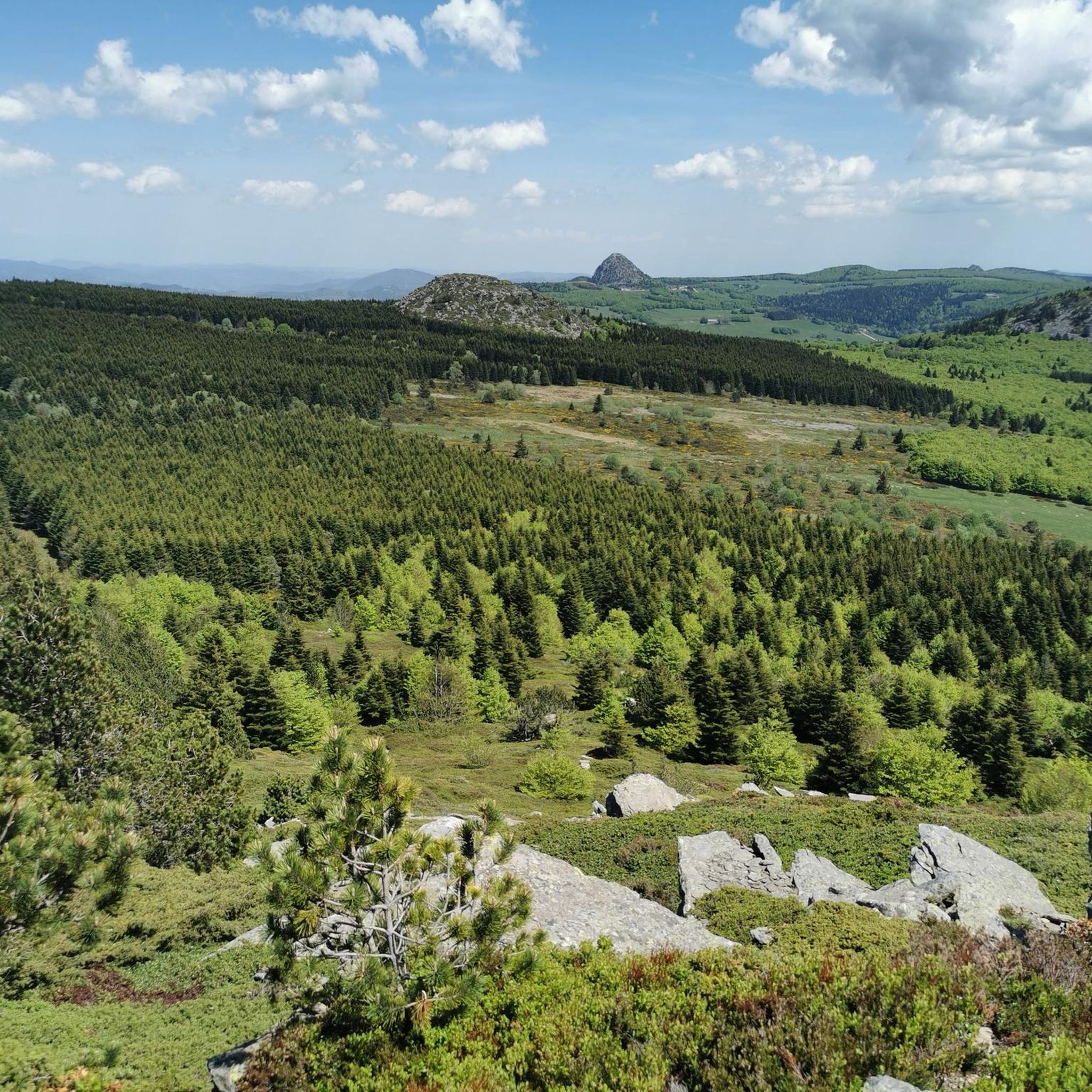
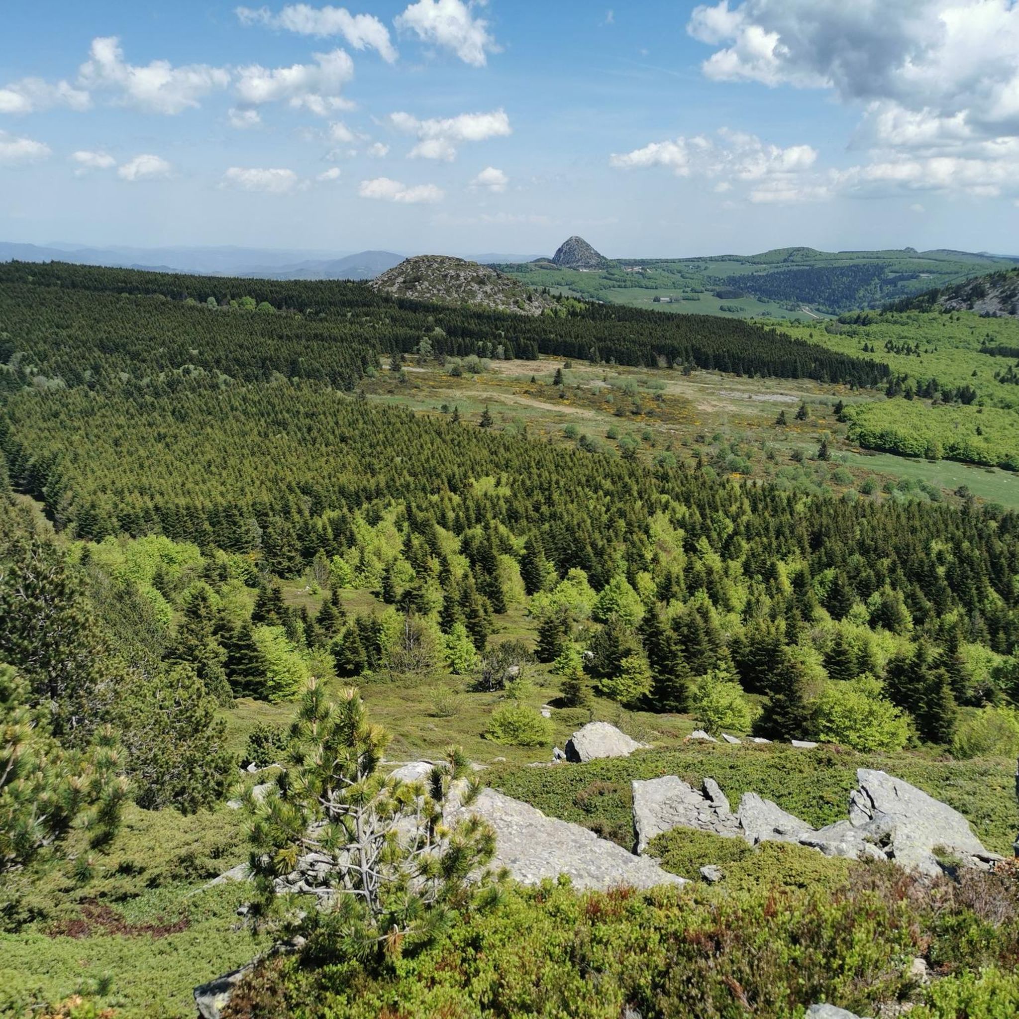
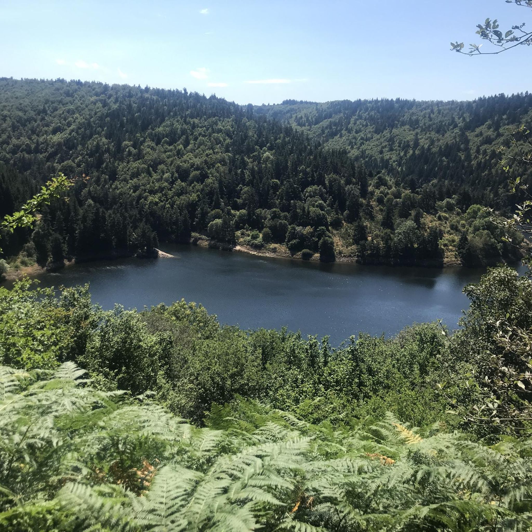
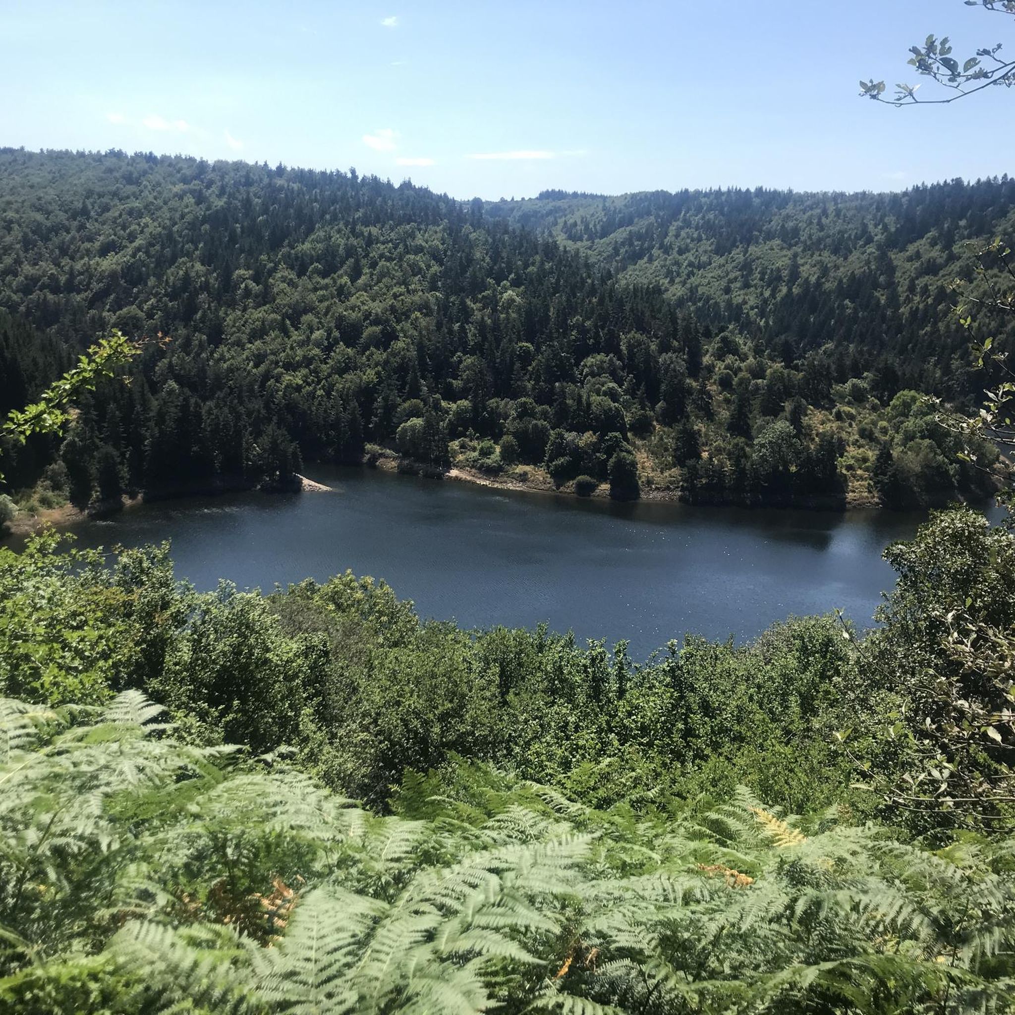
Hiking around Cros-De-Géorand offers diverse landscapes within the Montagne Ardéchoise, characterized by ancient volcanic peaks known as "sucs," which provide panoramic views. The region features extensive pine and beech woods, alongside natural meadows and significant river systems like the nascent Loire, Gage, and Tauron. Hikers can explore trails around natural lakes such as Issarlès and artificial dams like La Palisse, encountering varied terrain from lava flows to forested paths.
Best hiking trails around Cros-De-Géorand
- The most popular hiking route is…
Last updated: October 30, 2026
4.8
(4)
32
hikers
10.5km
03:14
390m
380m
Moderate hike. Good fitness required. Easily walkable paths.
4.8
(10)
22
hikers
4.54km
01:22
150m
150m
Easy hike. Easily walkable paths.

4.8
(4)
32
hikers
11.0km
03:22
390m
390m
Moderate hike. Good fitness required. Easily walkable paths.
7
hikers
5.99km
01:44
150m
150m
Easy hike. Easily walkable paths.
5.0
(2)
8
hikers
8.37km
02:29
240m
240m
Moderate hike. Good fitness required. Easily walkable paths.
Get access to more routes and recommendations from other explorers.
Already have an account?
Our route recommendations are based on thousands of hikes, rides, and runs completed by other people on komoot.
Start today with a free account
Your next adventure awaits.

Tips from the Community

The Suc de la Lauzière is an ancient volcano which peaks at an altitude of 1,582 metres. From its summit, you can observe Mont Gerbier de Jonc, well known for providing the source of the Loire.
1
0
Frequently Asked Questions
How many hiking trails are available in Cros-De-Géorand?
There are nearly 180 hiking trails around Cros-De-Géorand. These routes cater to various fitness levels, with 39 easy, 99 moderate, and 41 difficult options available.
What kind of landscapes can I expect to see while hiking in Cros-De-Géorand?
Cros-De-Géorand offers diverse landscapes, including majestic volcanic peaks known as 'sucs,' such as the Suc de Cherchemuse and the Suc de la Lauzière. You'll also find extensive pine and beech woods, natural meadows, and scenic river valleys formed by the nascent Loire, Gage, and Tauron rivers. The area features dramatic lava flows and views of natural lakes like Issarlès.
Are there any family-friendly hiking trails in Cros-De-Géorand?
Yes, Cros-De-Géorand has several family-friendly options. An easy and scenic choice is the Tour of Lac d’Issarlès, a 3.9 km trail that takes about an hour to complete, offering beautiful lake views. Another easy option is the Felsenmeer – Suc de la Lauzière loop from Suc de Montfol, which is 4.5 km long.
Can I bring my dog on the hiking trails in Cros-De-Géorand?
Most trails in Cros-De-Géorand are suitable for dogs, provided they are kept under control, especially in areas with livestock or protected wildlife. Always check local signage for any specific restrictions, but generally, the natural environment is welcoming for hikers with canine companions.
Are there any circular hiking routes in the area?
Yes, many routes in Cros-De-Géorand are circular. For example, the challenging Suc de Cherchemuse – Lac d’Issarlès loop from Le Lac-d'Issarlès is an 8.4-mile (13.5 km) circular path exploring volcanic landscapes. A moderate circular option is the Lake view loop from Cros-de-Géorand, which is 10.9 km long.
What are some notable landmarks or attractions to see while hiking?
While hiking, you can explore the ancient volcanic peaks like the Suc de Cherchemuse and the Suc de la Lauzière, which offer panoramic views. The region is also home to the nascent Loire River, with dramatic lava flows in its gorges. You can also see the dams of La Palisse and Gage, and the prominent Lake Issarlès. For specific peaks, consider visiting Suc de la Lauzière or Mount Gerbier de Jonc.
Are there any waterfalls or rivers to discover?
Yes, the region is rich in water features. The nascent Loire River, along with the Gage and Tauron rivers, traverse the area, offering spots for river bathing and trout fishing. The themed trail 'Le Sentier l'Eau et sa Force' (The Water and its Strength Trail) specifically highlights small streams and waterfalls within its varied terrain.
What do other hikers say about the trails in Cros-De-Géorand?
The trails in Cros-De-Géorand are highly rated by the komoot community, with an average score of 4.5 stars from over 600 reviews. Hikers often praise the diverse terrain, from volcanic landscapes to dense forests, and the scenic views, particularly around Lake Issarlès and the volcanic 'sucs'.
What is the best time of year to go hiking in Cros-De-Géorand?
The Montagne Ardéchoise, where Cros-De-Géorand is located, offers a pleasant microclimate. Spring and autumn are ideal for hiking, with comfortable temperatures and vibrant natural colors. Summer provides warm weather suitable for combining hikes with river bathing, while winter can offer opportunities for snowshoeing on higher ground, though some trails may be less accessible.
Is there parking available at the trailheads?
While specific parking details for every trailhead are not provided, Cros-De-Géorand is a destination well-suited for outdoor activities, implying that parking facilities are generally available near popular starting points for trails. It is advisable to check individual route descriptions on komoot for precise parking information.
Are there any long-distance hiking options near Cros-De-Géorand?
While many routes are day hikes, the region's extensive network of trails allows for longer excursions by combining routes. For example, the Mazan Abbey – Mazan-l'Abbaye loop from Lalliger is a substantial 16.8 km (10.4 miles) trail that takes nearly 5 hours to complete, offering a more extended hiking experience through varied terrain.
Most popular routes around Cros-De-Géorand
Most popular attractions around Cros-De-Géorand

Get inspired with the komoot mobile app


Explore more
Browse the best Hikes in other regions.
