The best walks and hikes around Santa-Maria-Poggio
4.5
(748)
2,684
hikers
34
hikes
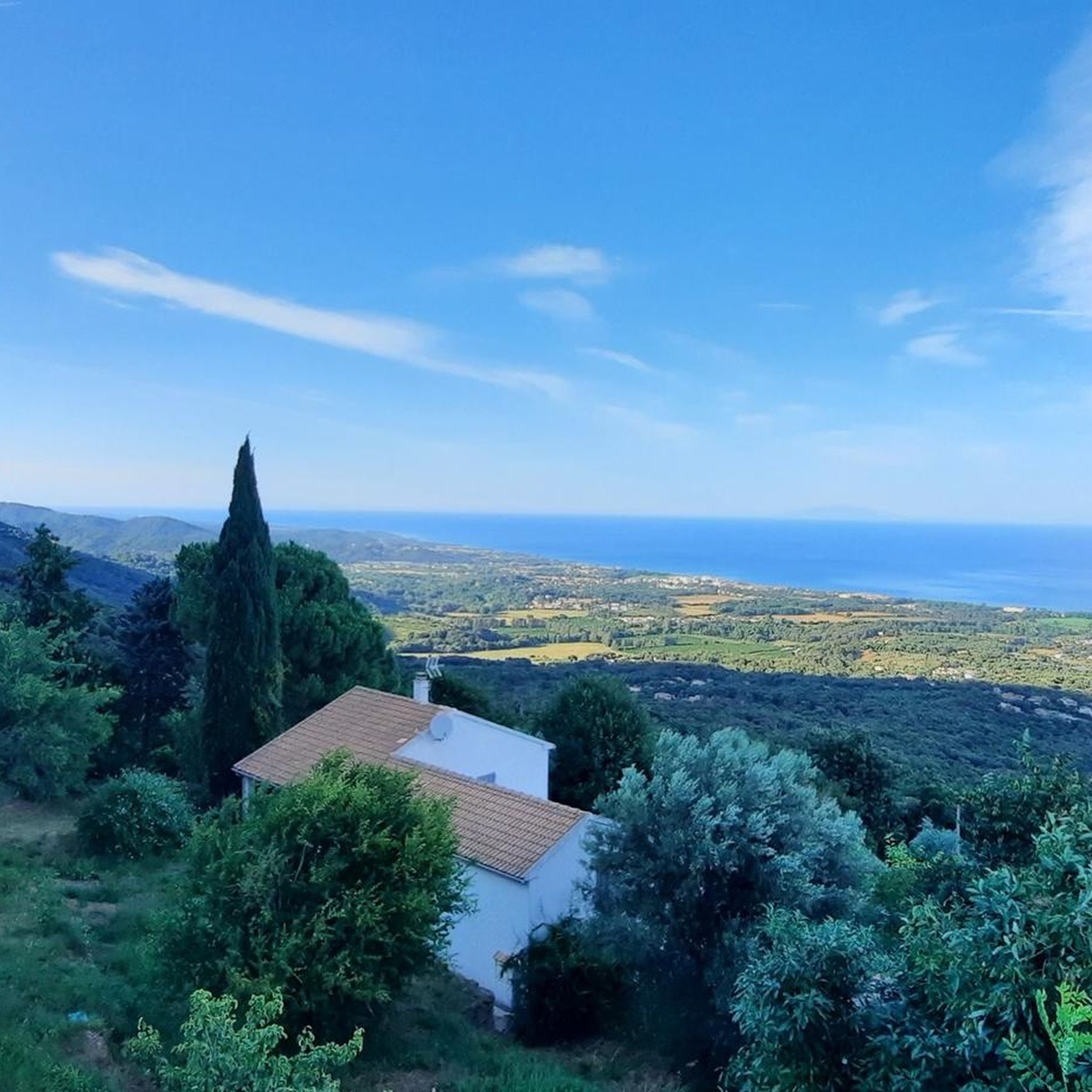
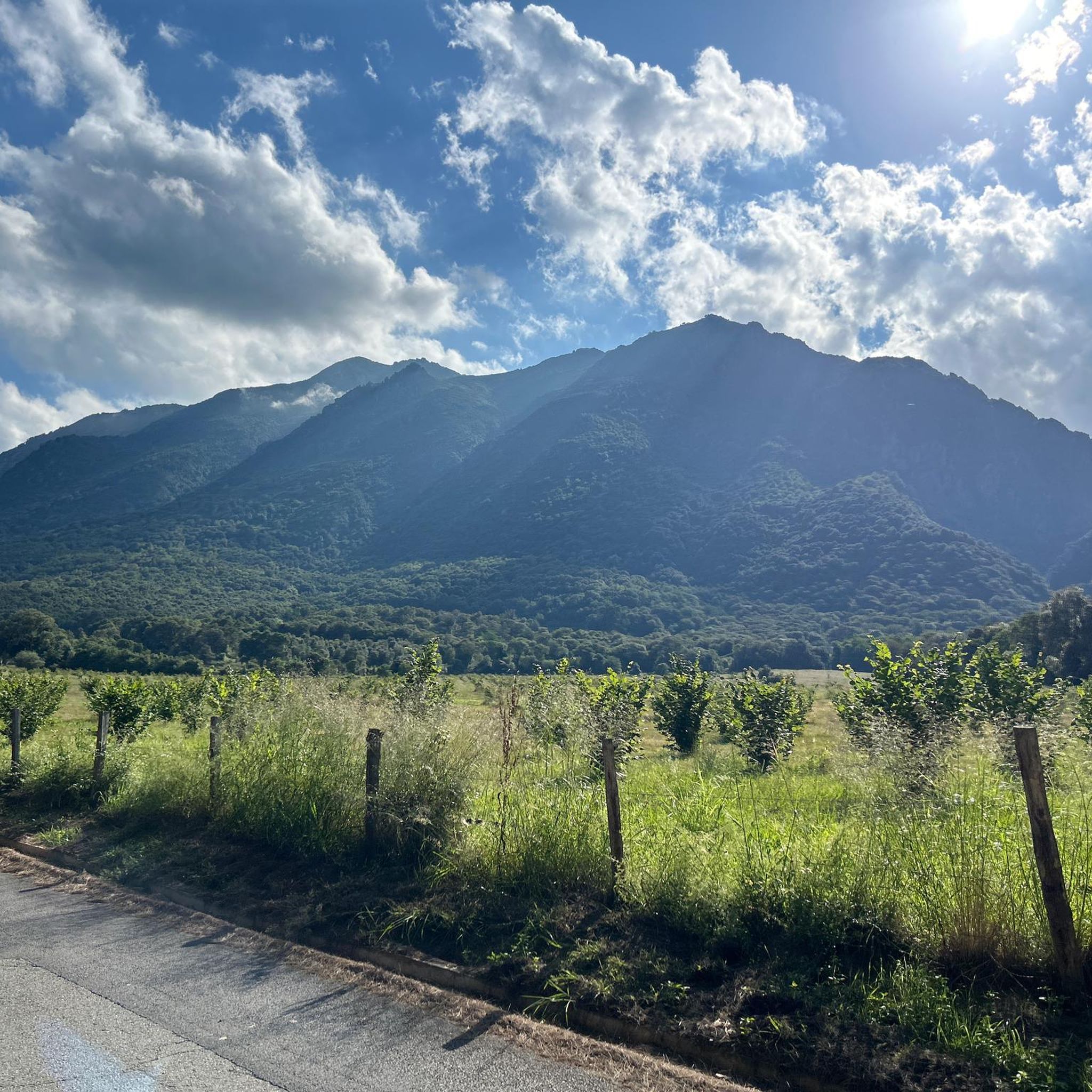
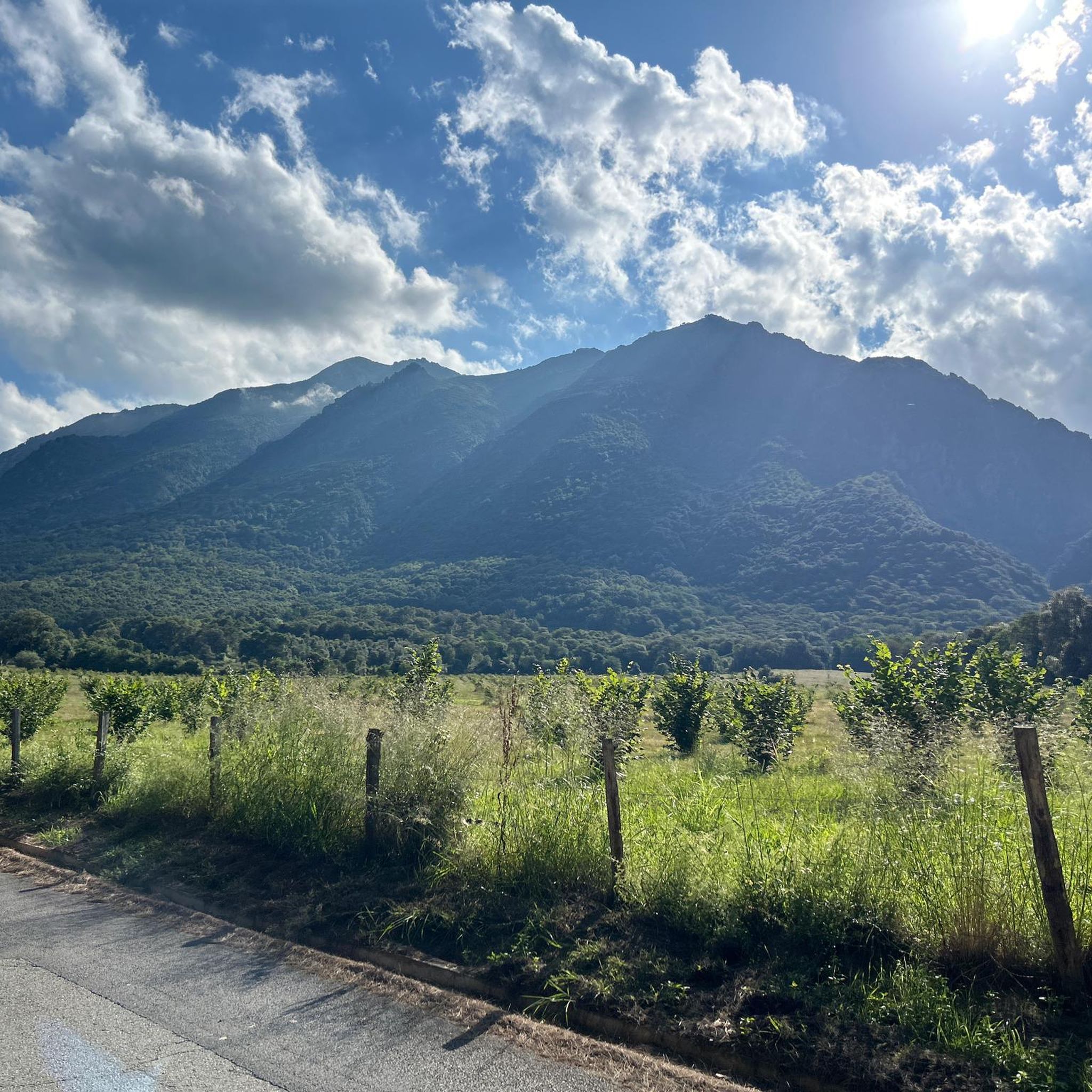
Hiking around Santa-Maria-Poggio offers diverse landscapes, from coastal areas to mountainous terrain. The region is characterized by its position between the Mediterranean Sea and imposing mountains, including Mount Osari. Hikers can explore varied environments such as chestnut groves, dense forests, and river gorges. The area features natural landmarks like the Ucelluline Waterfall and historical Genoese bridges.
Best hiking trails in Santa-Maria-Poggio
- The most popular hiking route is Genoese bridge – Bucatoggio Waterfall loop from Santa-Maria-Poggio, an easy 2.0 miles…
Last updated: July 28, 2026
4.5
(148)
549
hikers
8.40km
02:42
360m
370m
Moderate hike. Good fitness required. Easily-accessible paths. Suitable for all skill levels.
4.6
(152)
471
hikers
6.81km
02:14
310m
310m
Moderate hike. Good fitness required. Easily-accessible paths. Suitable for all skill levels.

Sign up for free
4.6
(165)
495
hikers
6.93km
02:15
310m
310m
Moderate hike. Good fitness required. Easily-accessible paths. Suitable for all skill levels.
4.7
(18)
91
hikers
3.77km
01:10
130m
130m
Easy hike. Great for any fitness level. Easily-accessible paths. Suitable for all skill levels.
4.5
(48)
120
hikers
Easy hike. Great for any fitness level. Easily-accessible paths. Suitable for all skill levels.
Get access to more routes and recommendations from other explorers.
Sign up for free
Already have an account?
Our route recommendations are based on thousands of hikes, rides, and runs completed by other people on komoot.
Start today with a free account
Your next adventure awaits.
Login or Signup

Tips from the Community

Corsica is always beautiful!
0
0
The weather wasn't great for us, but it's still worth a visit!
0
0
It was a hike in the fog but still great
0
0

Paid parking 5 euros only accepts cash. 2, 1 and 50 cents
1
0
Caution! Two people are needed to operate the barrier! If the driver pays, the barrier will close before you get back in. €10 is pretty steep!
0
0

Paid parking (5 Euro per day).
0
0

Santa-Maria-Poggio is a charming village in the Corsican foothills. At the foot of the mountains, it offers magnificent views of the coast.
0
0

Cervione, situated at over 300 m above sea level on the slopes of Monte Castello with great views, is a large and very lively place. There is always something going on, especially on the main road (Traversa) with its cafes and a few small shops. If you sit in front of one of the bars, you can see paragliders taking off from the Chapel of the Madonna and flying down into the plain when the weather is good. A short hike leads up to the striking viewpoint with the cross (632 m). It takes 1.5 hours there and back from the village center. A circular hike is also possible. Both are described in the hiking section. The view of the plain, the village of Cervione and the islands of Elba and Monte Cristo is beautiful!
2
0
Frequently Asked Questions
How many hiking trails are available in Santa-Maria-Poggio?
Santa-Maria-Poggio offers a diverse network of over 35 hiking trails. These routes cater to various skill levels, ranging from easy strolls to more challenging mountain treks.
What are the typical difficulty levels for hikes in this region?
The trails around Santa-Maria-Poggio are well-balanced, with 17 easy routes perfect for a relaxed walk, 18 moderate trails for those seeking a bit more challenge, and 3 difficult routes for experienced hikers looking for panoramic views and rugged terrain.
Are there any family-friendly hiking options in Santa-Maria-Poggio?
Yes, several trails are suitable for families. An excellent easy option is the Genoese bridge – Bucatoggio Waterfall loop from Santa-Maria-Poggio, which is just 2.0 miles (3.2 km) long and takes about 55 minutes, leading to the impressive Bucatoggio Waterfall.
Can I find circular hiking routes in Santa-Maria-Poggio?
Absolutely. Many trails in the area are circular, allowing you to start and end at the same point. For example, the Loop of the Ucelluline waterfall is a moderate 5.2-mile (8.4 km) circular path offering beautiful views.
Are there hikes that feature waterfalls in Santa-Maria-Poggio?
Yes, the region is known for its stunning waterfalls. The Ucelluline Waterfall (also known as Bucatoggio Waterfall) is a significant draw. You can explore it on the Genoese bridge – Bucatoggio Waterfall loop from Santa-Maria-Poggio, which also passes a historic Genoese bridge. The Ucelluline Waterfall itself is a popular highlight: Ucelluline Waterfall.
What kind of natural landmarks or attractions can I expect to see on the trails?
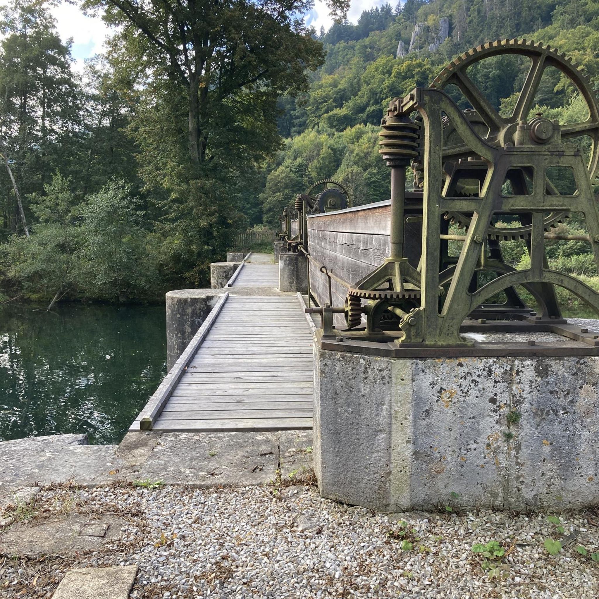
Beyond waterfalls, you'll encounter diverse landscapes. Trails traverse ancient chestnut groves and dense forests. You might also discover historical elements like Genoese bridges, such as the one near the Bucatoggio Waterfall. Some routes offer panoramic views of Monte San Petrone and even the Tuscan archipelago.
What is the best time of year to go hiking in Santa-Maria-Poggio?
The best time for hiking in Santa-Maria-Poggio is generally from spring to autumn. During these seasons, the weather is pleasant, and the natural beauty, including varied vegetation and waterfalls, is at its peak. Summer can be warm, so early morning or late afternoon hikes are recommended.
Are there dog-friendly trails in Santa-Maria-Poggio?
Many trails in Santa-Maria-Poggio are suitable for hiking with dogs, provided they are kept on a leash and you respect local wildlife and other hikers. The varied terrain, from forest paths to open areas, offers a great experience for you and your canine companion.
Is parking available near the trailheads?
Parking availability varies by trailhead. For popular spots like the Ucelluline Waterfall, there are often designated parking areas. It's advisable to check specific route details or local information for parking options before heading out, especially during peak season.
What do other hikers enjoy most about the trails in Santa-Maria-Poggio?
The trails in Santa-Maria-Poggio are highly rated by the komoot community, with an average score of 4.6 stars from over 700 reviews. Hikers frequently praise the region's diverse landscapes, the stunning waterfalls, the historical Genoese bridges, and the panoramic views from higher elevations.
Are there any historical sites or ancient structures to discover while hiking?
Yes, the region's history is woven into its landscape. Many trails feature ancient Genoese bridges, such as the one over the Buccatoghju river, and ruins of traditional Corsican villages. These historical elements add a unique cultural dimension to your hiking experience.
Can I find hikes that lead through forests or offer shade?
Absolutely. Santa-Maria-Poggio is rich in varied vegetation, including magnificent beech forests and century-old chestnut groves. The Mystic Forest – Santa Maria Poggio loop from Santa-Maria-Poggio is an easy 4.0-mile (6.4 km) trail that takes you directly through shaded woodlands.
Most popular routes around Santa-Maria-Poggio
Most popular attractions around Santa-Maria-Poggio

Get inspired with the komoot mobile app


Explore more
Browse the best Hikes in other regions.
