The best mountain hikes around Vorderthal
4.9
(53)
456
hikers
31
hikes
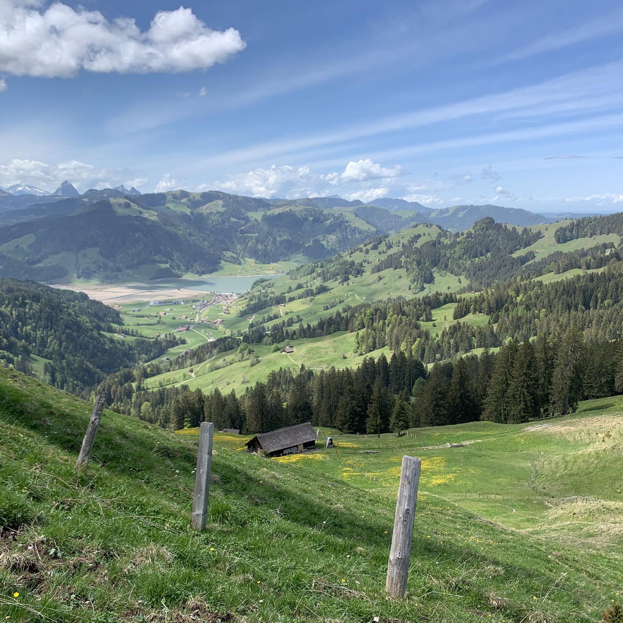
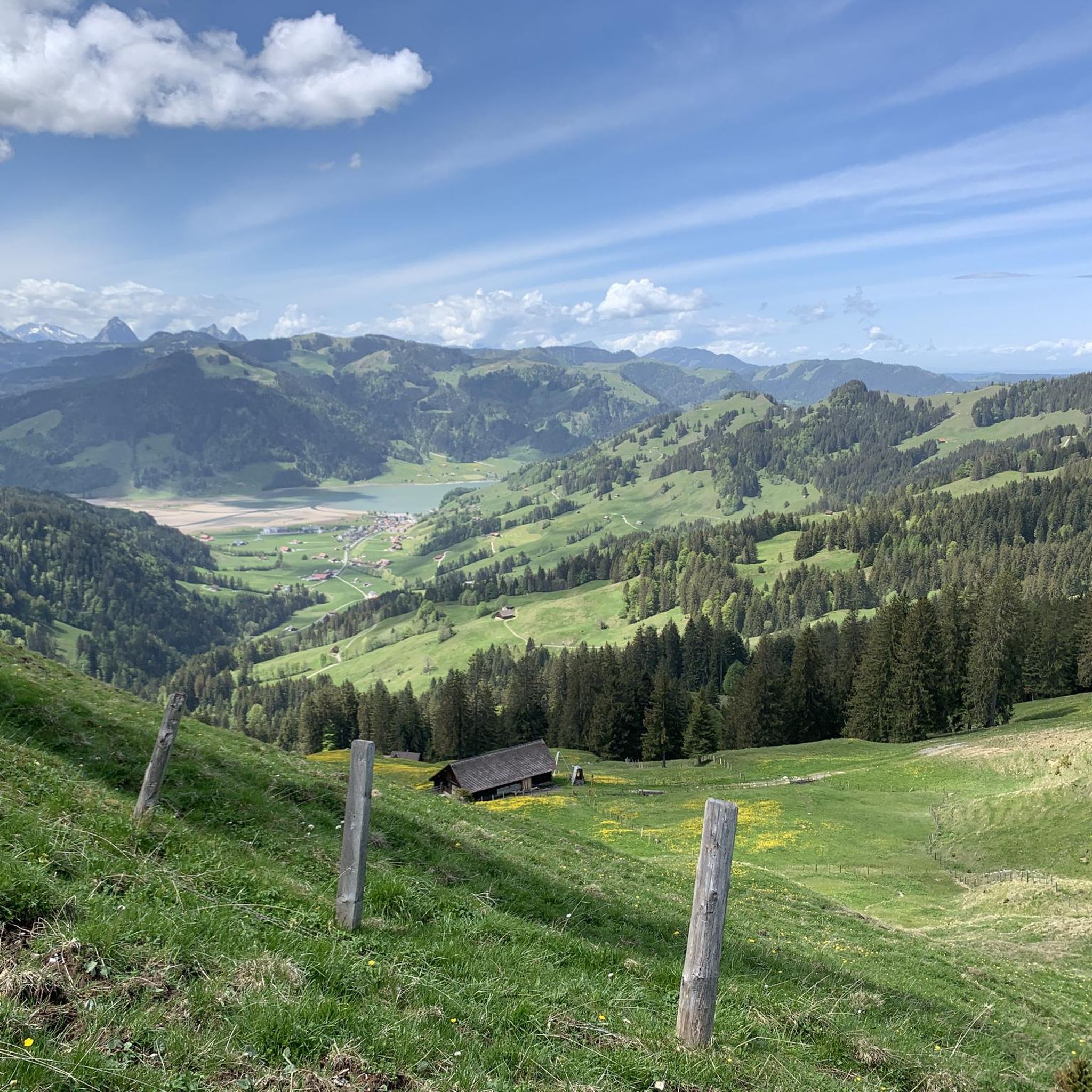
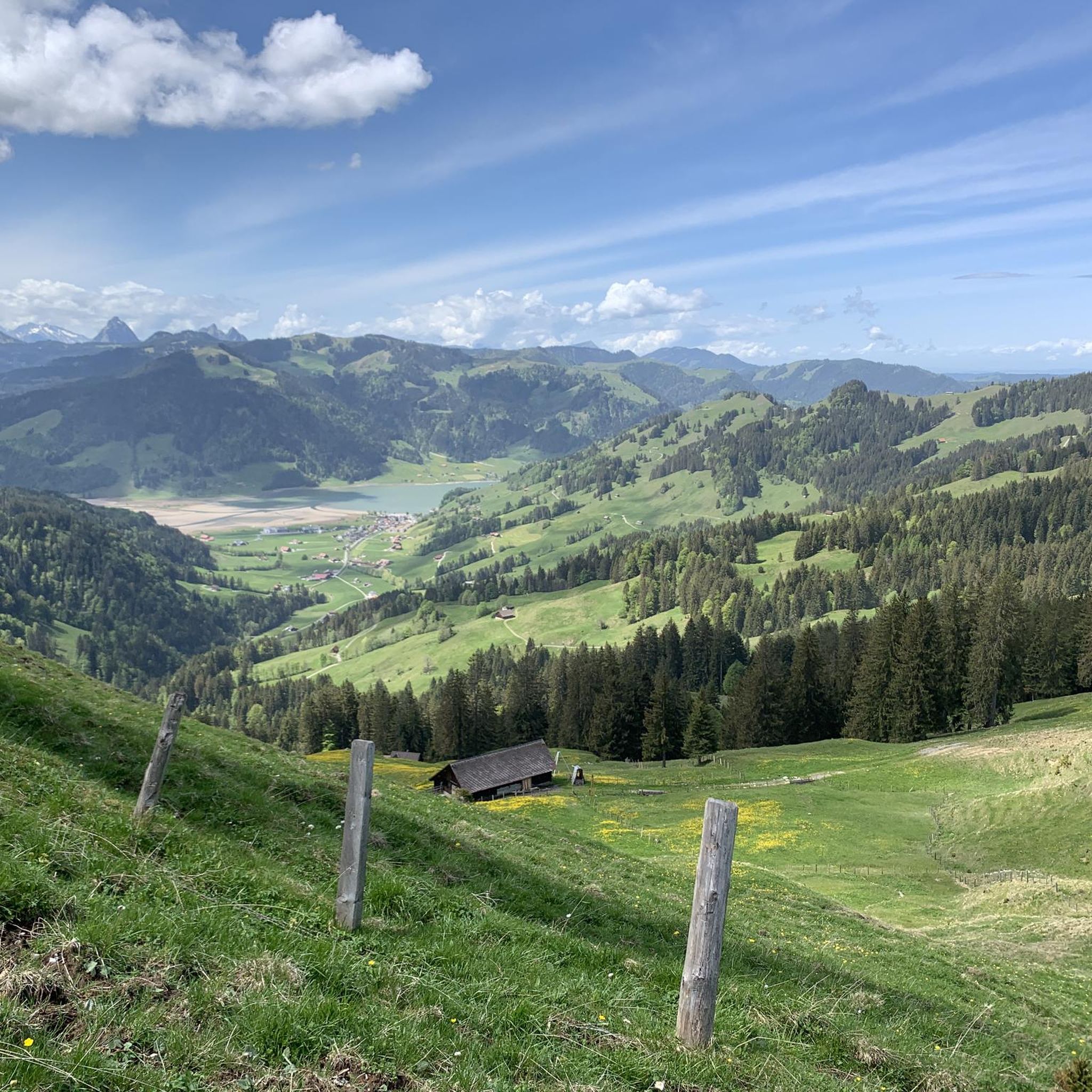
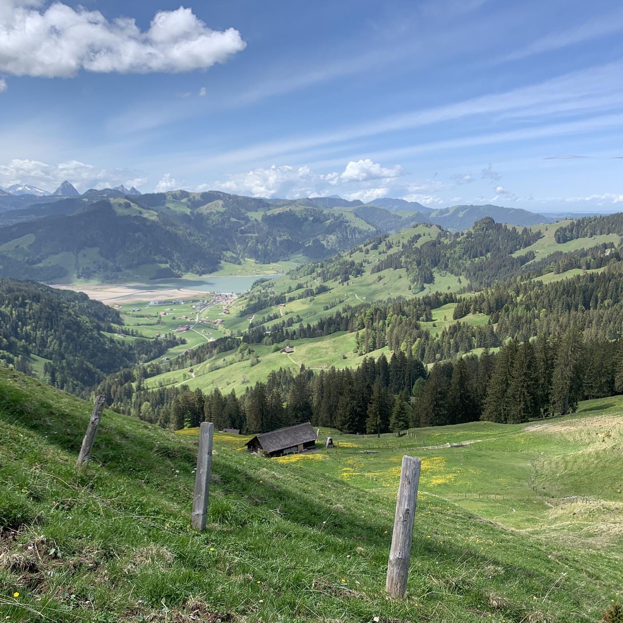
Mountaineering around Vorderthal offers a diverse alpine landscape characterized by prominent peaks, mountain lakes, and forested slopes. The region features a mix of challenging summit ascents and moderate routes through varied terrain. Elevations range significantly, with several routes leading to summits over 2,000 meters. The area provides opportunities for exploring high-altitude environments and scenic valleys.
Best mountaineering routes around Vorderthal
- The most popular mountaineering route is Wägitalersee – Brünnelistock (2,133 m) loop from Wägitalersee, a 8.9 miles (14.4 km)…
Last updated: September 26, 2026
5.0
(7)
40
hikers
13.4km
07:37
1,270m
1,270m
Hard mountaineering route. Very good fitness required. Sure-footedness, sturdy shoes and alpine experience required.
5.0
(3)
53
hikers
12.4km
05:52
990m
990m
Hard mountaineering route. Very good fitness required. Mostly accessible paths. Sure-footedness required.

5.0
(1)
25
hikers
9.92km
03:12
420m
420m
Moderate mountaineering route. Good fitness required. Easily-accessible paths. Suitable for all skill levels.
4.0
(2)
14
hikers
10.4km
04:54
800m
800m
Hard mountaineering route. Good fitness required. Sure-footedness, sturdy shoes and alpine experience required.
5.0
(2)
7
hikers
16.7km
10:10
1,710m
1,710m
Hard mountaineering route. Very good fitness required. Sure-footedness, sturdy shoes and alpine experience required.
Get access to more routes and recommendations from other explorers.
Already have an account?
Our route recommendations are based on thousands of hikes, rides, and runs completed by other people on komoot.
Start today with a free account
Your next adventure awaits.

Tips from the Community

It is located on cycling and bike paths, you pass by occasionally, and you can replenish your fluid balance in the restaurant after the climb.
0
0

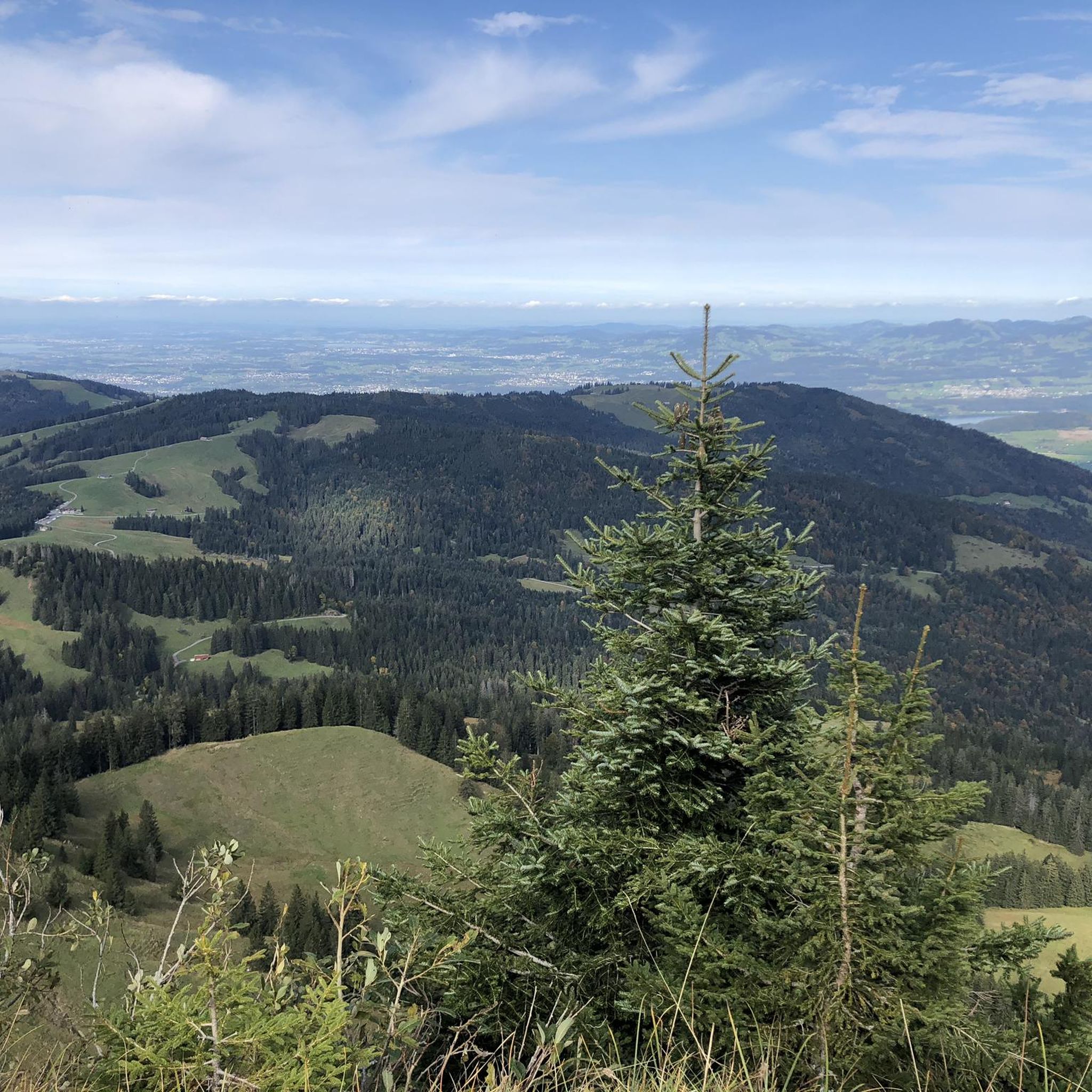
Another wonderful 360° panorama
0
0
A super 360° panorama
0
0

Beautiful viewpoint summit, easily accessible from Wildegg.
0
0
Much visited crossing from Sihlsee to Wägitaler See. Also turn-off direction Rtg Chli Aubrig/Wildegg resp. direction Rtg Rinderweihorn/Pfiffegg.
0
0

Frequently Asked Questions
How many mountaineering routes are available in Vorderthal?
There are over 35 mountaineering routes around Vorderthal, offering a wide range of experiences from moderate ascents to challenging summit climbs. The komoot community has explored these trails over 400 times, providing valuable insights and ratings.
Are there any easy or moderate mountaineering routes suitable for beginners in Vorderthal?
Yes, while many routes are challenging, there are options for those seeking a more moderate experience. For instance, the Alp Wildegg Mountain Hut – Chli Aubrig Summit loop from Sattelegg is a moderate 6.2-mile (9.9 km) route that takes about 3 hours 12 minutes to complete, leading through alpine meadows with scenic summit views.
What is the best time of year for mountaineering in Vorderthal?
The best time for mountaineering in Vorderthal is typically from late spring to early autumn (June to September), when the weather is most stable, and trails are generally free of snow. Always check local weather forecasts and trail conditions before heading out, as alpine weather can change rapidly.
Are there any circular mountaineering routes in Vorderthal?
Yes, many of the routes in Vorderthal are designed as loops, allowing you to start and end at the same point. A notable circular route is the Wägitalersee – Brünnelistock (2,133 m) loop from Wägitalersee, a challenging 8.9-mile (14.4 km) tour offering panoramic views from the Brünnelistock summit.
Can I find routes that pass by mountain huts or cafes in Vorderthal?
Yes, several mountaineering routes in Vorderthal incorporate mountain huts, which can serve as rest stops or places to refuel. The Bockmattli Hut – Bockmattlistock Summit loop from March is a challenging route that passes by the Bockmattli Hut, offering a chance to experience traditional alpine hospitality.
What kind of natural attractions can I expect to see along the mountaineering routes in Vorderthal?
Vorderthal's mountaineering routes often feature stunning natural attractions. You might encounter beautiful waterfalls like the Rautibach Waterfall or the Aberenbach Waterfall. The region also has interesting geological formations, including caves such as the Dragon Cave or the Large Cave Schwyz.
What do other mountaineers enjoy most about the routes in Vorderthal?
The mountaineering routes in Vorderthal are highly rated by the komoot community, with an average score of 4.9 stars from over 50 reviews. Users frequently praise the diverse alpine landscape, the challenging summit ascents, and the rewarding panoramic views from peaks like Brünnelistock and Chli Aubrig.
Are there any mountaineering routes in Vorderthal that are particularly good for wildlife spotting?
While specific routes aren't designated for wildlife spotting, the alpine and forested areas around Vorderthal provide habitats for various animals. Early mornings or late evenings on quieter trails, such as those leading to Gross Aubrig Summit, might offer opportunities to observe local fauna like chamois, ibex, or various bird species.
How can I reach the starting points of mountaineering routes in Vorderthal using public transport?
Access to trailheads in Vorderthal via public transport often involves a combination of train and bus services. Key starting points like Sattelegg or areas around Wägitalersee can typically be reached by local bus routes connecting from larger transport hubs. It's advisable to check the current timetables for PostAuto or local bus services in the Schwyz canton for the most up-to-date information.
Where can I find parking for mountaineering trails in Vorderthal?
Parking is generally available at common trailheads and popular starting points for mountaineering routes in Vorderthal. For example, you can often find designated parking areas near Wägitalersee or Sattelegg, which serve as access points for routes like the Chli Aubrig Summit loop from Sattelegg. Always look for official parking signs and be mindful of any fees or restrictions.
Are there any specific safety considerations for winter mountaineering in Vorderthal?
Winter mountaineering in Vorderthal requires significant experience and preparation due to increased risks such as avalanches, deep snow, and rapidly changing weather conditions. Many routes become considerably more challenging or inaccessible. It is crucial to carry appropriate winter gear, check avalanche forecasts, and consider hiring a local mountain guide for safety.
Most popular routes around Vorderthal
Most popular attractions around Vorderthal

Get inspired with the komoot mobile app


Explore more
Browse the best Mountain Hikes & Routes in other regions.
