The best running trails around Lugnez
4.1
(31)
2,071
runners
182
runs
Jogging routes around Lugnez traverse a diverse alpine valley in the Swiss Surselva region, offering varied terrain for runners. The area is characterized by a mix of narrow and wide paths, charming hamlets, and lush natural landscapes. Runners can experience views of surrounding mountains and tranquil features like Davos Munts Lake. The valley's topography provides a range of running experiences, from gentle paths to more challenging ascents.
Best jogging routes around Lugnez
- The most popular jogging route is Bonfol Ponds…
Last updated: November 6, 2026
2
runners
5.84km
00:44
130m
130m
Moderate run. Good fitness required. Mostly paved surfaces.
3.5
(2)
3
runners
3.89km
00:26
30m
30m
Easy run. Mostly paved surfaces.

4.3
(3)
101
runners
9.08km
00:57
60m
60m
Moderate run. Good fitness required. Mostly paved surfaces.
28
runners
8.61km
01:04
210m
210m
Moderate run. Good fitness required. Mostly paved surfaces.
11
runners
9.47km
01:04
100m
100m
Hard run. Good fitness required. Sure-footedness, sturdy shoes and alpine experience required.
Get access to more routes and recommendations from other explorers.
Already have an account?
Our route recommendations are based on thousands of hikes, rides, and runs completed by other people on komoot.
Start today with a free account
Your next adventure awaits.
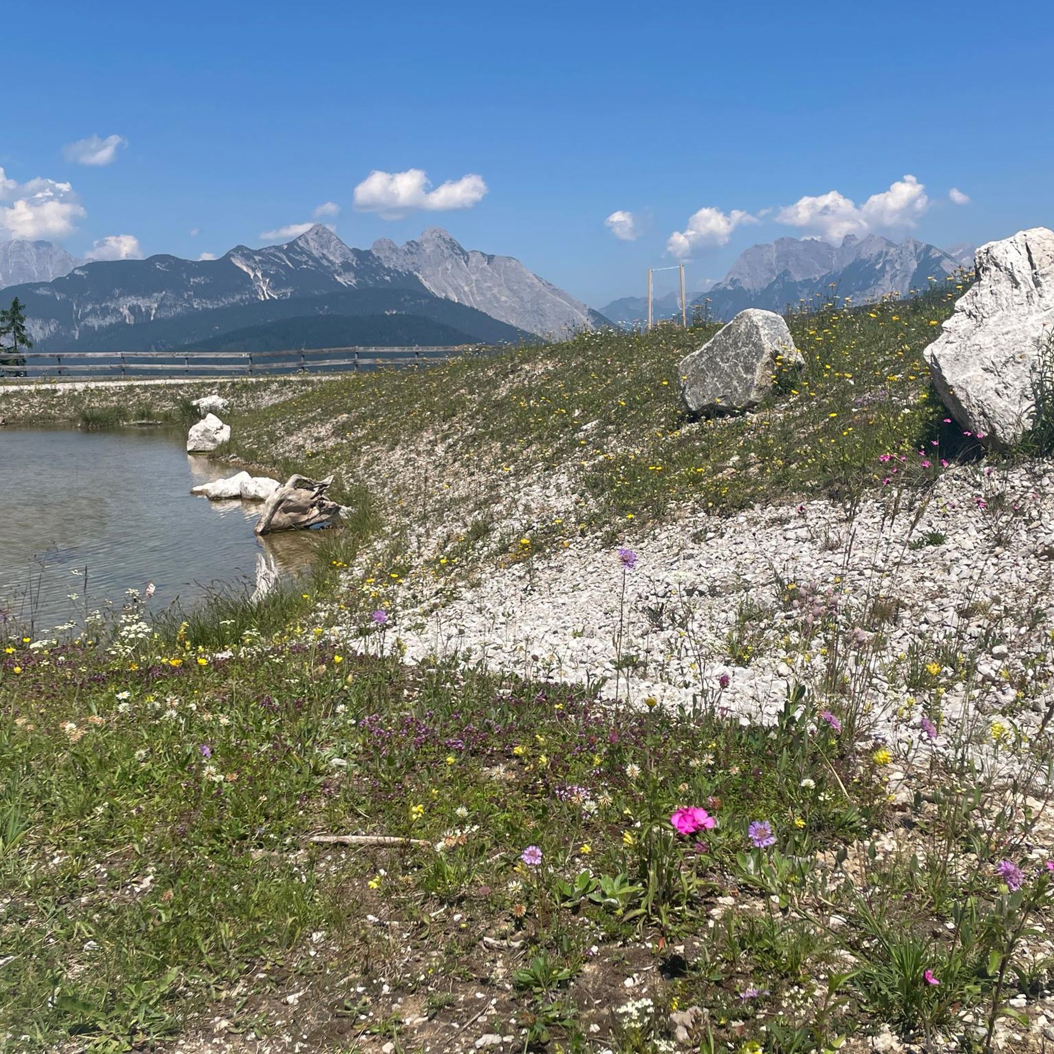
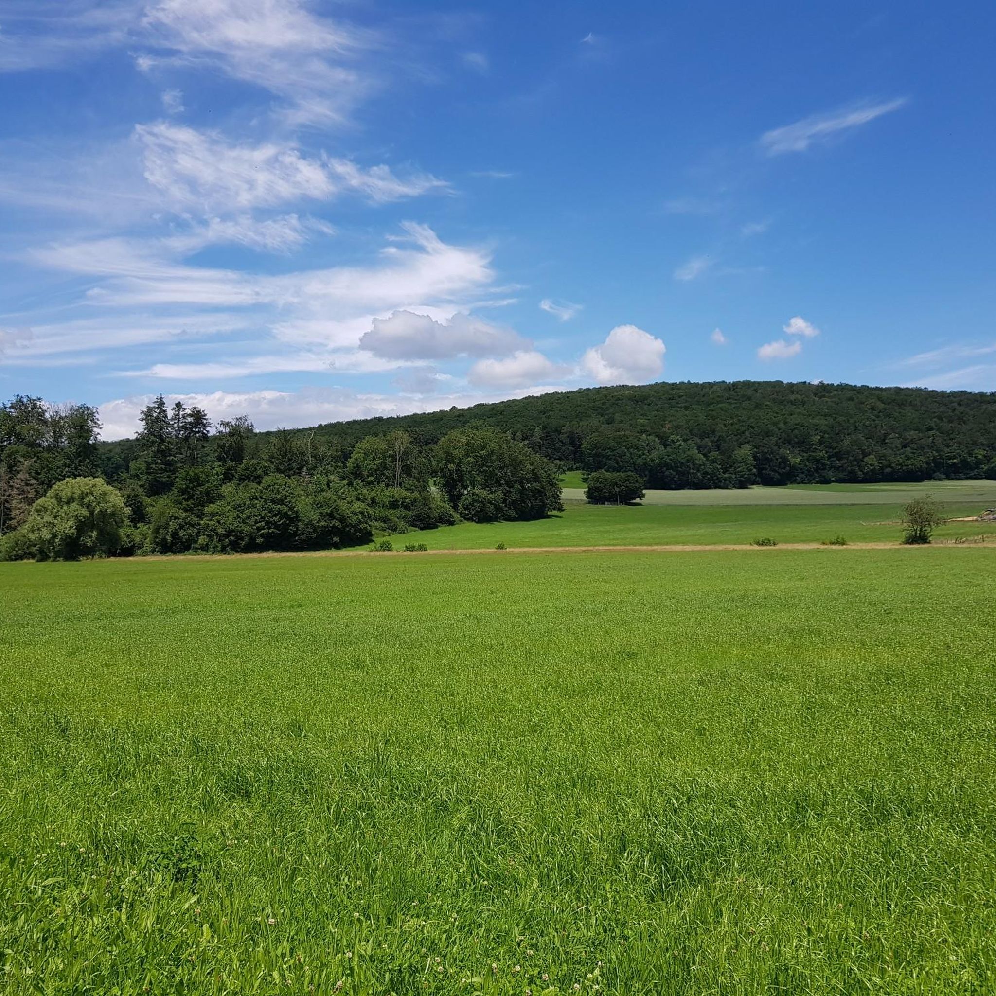
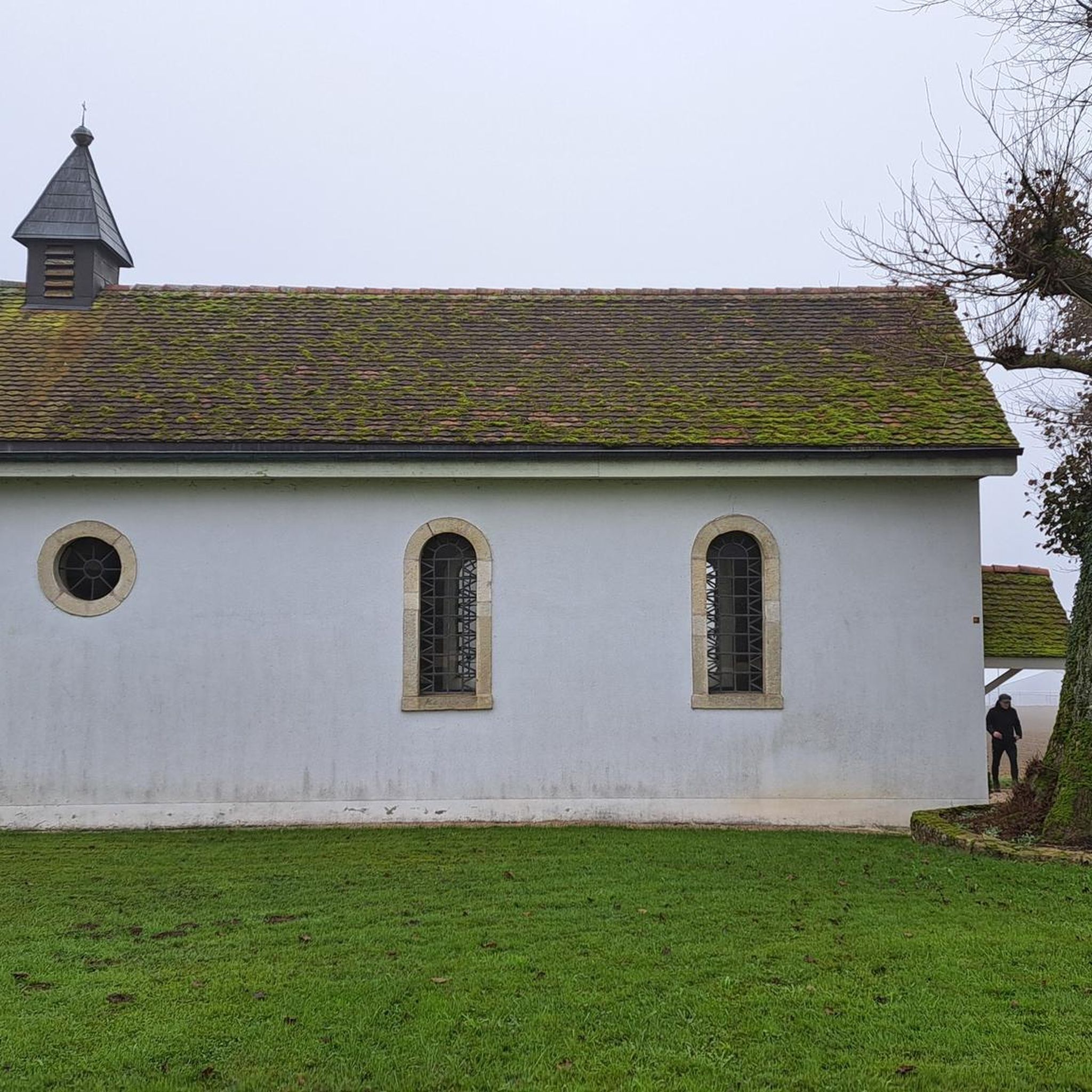
Tips from the Community

Observation post No. 2 in Largin was a Swiss wooden blockhouse during the First World War. From here, Swiss soldiers observed the French and German positions just a few hundred meters away and monitored Swiss neutrality. The post was thus located immediately at the southern end of the Western Front. The original blockhouse was reconstructed in 2012 based on historical models and can be visited today.
0
0
Kilometer 0 – Border stone of the Western Front The border stone No. 111 at Largin near Pfetterhouse marks the so-called “Kilomètre Zéro”, the southern starting point of the Western Front in World War I. From autumn 1914, the front ran here between France and Germany; on the Swiss side, the neutral Swiss army observed the events. From this point, the front line stretched for around 750 km to the North Sea. Today, the border stone, the reconstructed Swiss observation post, and numerous trenches and bunkers commemorate this special section of the Western Front.
0
0
The Ferme du Largin is located in the Swiss "corner" near Bonfol, directly at Kilomètre Zéro of the Western Front section. In the First World War, it was an important observation post for the Swiss army, which monitored the opposing French and German positions from here. The area became a meeting point for three armies in 1914–1918 – France, Germany, and Switzerland. Today, the Ferme is a working farm and the starting point of the 7.5 km long Kilomètre-Zéro circular trail, where numerous traces and fortifications of the former front can still be seen.
0
0
The Largtalbahn: Dannemarie–Pfetterhouse–Bonfol The line was called Largtalbahn in German, or the Dannemarie–Pfetterhouse railway line. It ran from Dannemarie (Dammerkirch) through the Largtal via Dannemarie → Altenach → Mertzen → Friesen → Seppois-le-Bas → Pfetterhouse → Swiss border → Bonfol → Porrentruy. The French section was about 20 km long. The line opened in 1910 and was initially a connection within the then German Empire, or between the German Empire and Switzerland. When the line was built, Alsace still belonged to the German Empire. The state treaty for the railway connection between Pfetterhausen and Bonfol was concluded in 1906 between the German Empire and Switzerland. With the start of the First World War, cross-border traffic was stopped. The border between Pfetterhouse and Bonfol was closed. At the same time, Pfetterhouse was located directly at the southern end of the Western Front. The railway could no longer be used simply as a normal international connection. The military significance of the area was considerable: military operations took place in the forests on both sides of the border, partly to prevent Alsatians from fleeing to Switzerland. Even today, traces of shell impacts are still present there.
0
0

Observation tower with a great view of the Vosges Mountains and the Swiss Jura.
3
0

At border post 111, on the French-Swiss border near Pfetterhouse, the Western Front of the First World War officially began in the autumn of 1914. This spot, where the borders of France, Germany and Switzerland had previously met, became the symbolic Kilometre Zero of a front line that stretched over 750 kilometres to the North Sea. Today it is a peaceful spot along a hiking and cycling trail, where you literally stand at the start of one of the most defining fronts in modern history.
8
0
Near the border stone 111, the official Kilometre Zero of the Western Front, there was a wooden observation post of the Swiss army during the First World War. This Poste d'observation N°2 offered a view of the French and German lines, while Switzerland maintained its neutrality 1. The post was a symbol of the tense calm at this unique border location, where three armies followed each other closely. Today, the site has been partly reconstructed and forms a special historical point along the hiking and cycling path in the far south of Alsace.
8
0
Ferme du Largin – border farm between war and neutrality: The Ferme du Largin is located on a Swiss border spur near Pfetterhouse, at a symbolic place where France, Germany and Switzerland met. During the First World War, it was an important observation point on the edge of the front, guarded by neutral Switzerland. The farm was shelled in October 1914, which led to a diplomatic incident between Germany and Switzerland. During the Second World War, it became a refuge for resistance fighters and refugees. Today, the farm has been partly restored and is a silent witness to border history, war and human resilience.
7
0
Frequently Asked Questions
How many running routes are available in Val Lumnezia (Lugnez)?
Val Lumnezia offers a wide selection of running trails, with over 180 routes available for you to explore. These range from easy, gentle paths to more challenging ascents, catering to various fitness levels.
What kind of terrain can I expect on running trails in Lugnez?
The terrain in Val Lumnezia is wonderfully diverse. You'll find a mix of narrow and wide paths, leading through charming hamlets, past tranquil features like Davos Munts Lake, and offering breathtaking mountain panoramas. The valley's lush natural landscapes provide a serene backdrop for your runs.
Are there easy running routes suitable for beginners or families in Lugnez?
Yes, there are several easy running routes perfect for beginners or families. For instance, the Bonfol Ponds Loop is an easy 2.4-mile (3.9 km) trail that offers a pleasant run around natural ponds. The area around Davos Munts Lake also provides accessible options with gentle elevation changes.
Are there any circular running routes in Val Lumnezia?
Many of the running paths in Val Lumnezia are circular, allowing you to start and end your run in the same location. A popular choice is the Sentier des Faînes Loop, a moderate 3.6-mile (5.8 km) path that provides a scenic run through varied terrain.
What are some notable landmarks or attractions I can see along the running routes?
While running in Lugnez, you can discover several interesting points. You might encounter the Mont Renaud Observation Tower, offering expansive views, or explore the historic Porrentruy Castle. For nature lovers, the Porrentruy Botanical Garden and the unique Dinosaur Tracks of Pommerat are also nearby.
Are there running trails that offer mountain views?
Absolutely. Val Lumnezia is renowned for its stunning mountain panoramas. Many trails provide breathtaking views of the surrounding peaks, including those of the Obersaxen Mundaun ski area. You can enjoy magnificent vistas while traversing paths that loop around mountains like Piz Mundaun.
What do other runners enjoy most about jogging in Lugnez?
The running trails in Lugnez are highly rated by the komoot community, with an average score of 3.9 stars from over 10 reviews. Runners often praise the diverse valley terrain, the peaceful atmosphere due to limited through-traffic, and the opportunity to experience both charming villages and lush natural surroundings.
Are there any longer or more challenging running trails for experienced runners?
Yes, for experienced runners seeking a challenge, Val Lumnezia offers 27 difficult routes. Trails leading towards the Greina plateau, for example, present a wild-romantic rocky path that requires good fitness and alpine experience. A moderate option is the Bison Park loop from Boncourt, which covers over 7 miles (12.6 km) with significant elevation changes.
Can I access running routes in Lugnez using public transport?
While specific public transport details for each trailhead vary, the Val Lumnezia region is generally accessible. Many villages within the valley, such as Vella, Morissen, Lumbrein, and Vrin, serve as good starting points and are connected by local transport, making it possible to reach various trailheads.
Are there running routes where I might spot wildlife?
The lush natural landscapes and secluded environment of Val Lumnezia make it a great place for wildlife spotting. Running through areas with forests and diverse flora increases your chances of encountering local fauna. The Birdwatching Cabin – Étangs de Bonfol loop from Vendlincourt is a particularly good option for those interested in observing birds and other natural inhabitants.
Are there places to stop for refreshments or food along the running trails?
Yes, along many trails in Val Lumnezia, you can find mountain restaurants and huts, such as Bergrestaurant Triel. These establishments offer opportunities for rest, enjoying local cuisine, and taking in magnificent views, making them perfect spots for a break during your run.
What is the best time of year to go running in Val Lumnezia?
Val Lumnezia is a sunny alpine valley, making it enjoyable for running during much of the year. While specific conditions vary, spring through autumn generally offer the most favorable weather for exploring the diverse trail network. Some panoramic routes are also adapted for winter hikes, suggesting year-round possibilities depending on conditions and trail maintenance.
Most popular attractions around Lugnez

Get inspired with the komoot mobile app


Explore more
Browse the best Running Trails & Routes in other regions.
