The best walks and hikes around Amerdingen
4.6
(2978)
10,842
hikers
626
hikes
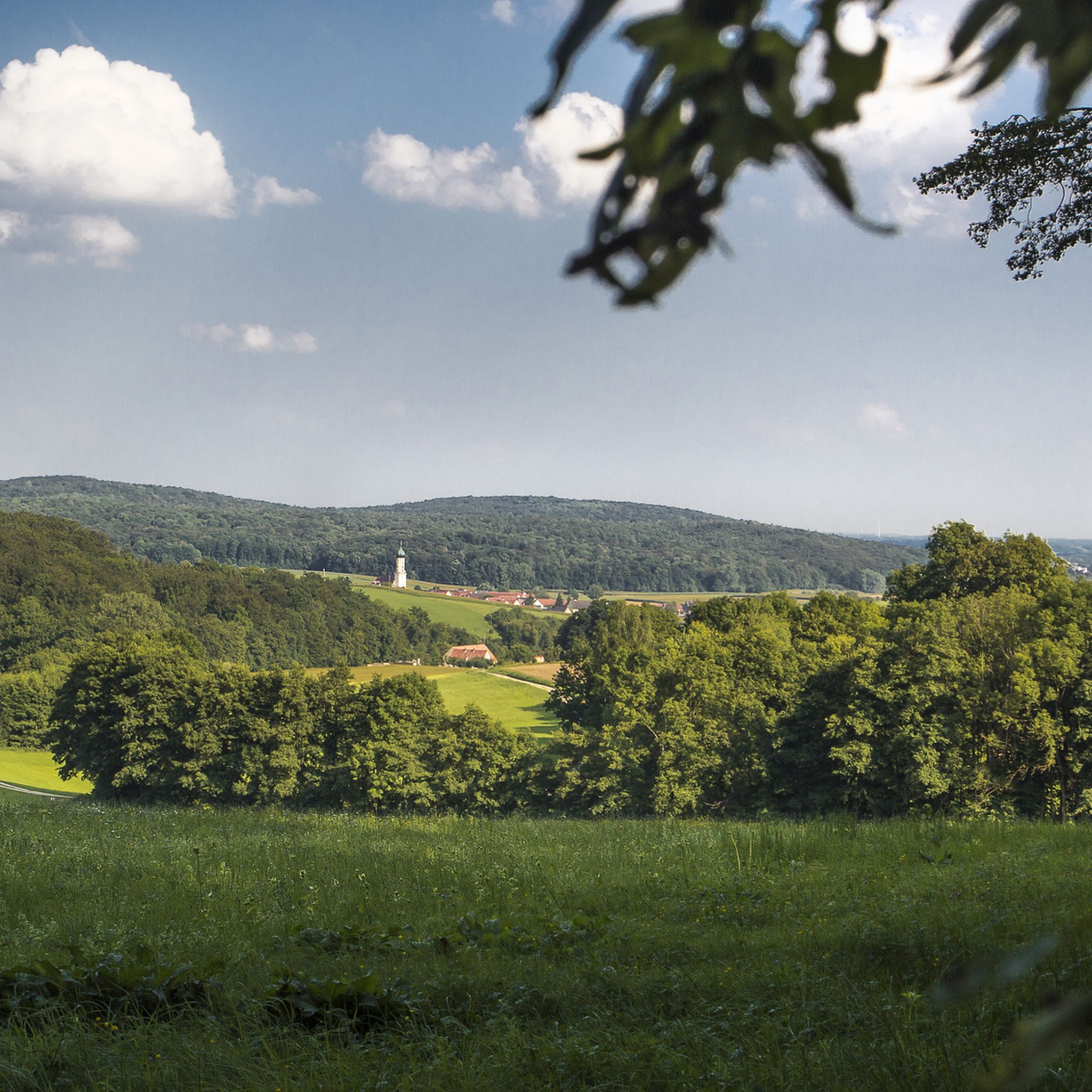
Hiking around Amerdingen offers diverse landscapes within Germany's Donau-Ries district, nestled in the rolling hills of the Swabian Alb. The region features a mix of dense forests, open green fields, and the Riedlinger Aach river valley. This geographical setting provides varied terrain for outdoor activities.
Best hiking trails around Amerdingen
- The most popular hiking route is Grotto at Ursprungsweiher – Hungerbrunnen Spring loop from Hohenaltheim, a 4.3 miles (6.9 km) trail that takes 1 hour 52 minutes to complete.…
Last updated: September 29, 2026
4.8
(16)
37
hikers
6.89km
01:52
100m
100m
Easy hike. Great for any fitness level. Easily-accessible paths. Suitable for all skill levels.
5.0
(1)
23
hikers
11.7km
03:07
120m
120m
Moderate hike. Good fitness required. Easily-accessible paths. Suitable for all skill levels.

4.5
(4)
21
hikers
12.4km
03:16
110m
110m
Moderate hike. Good fitness required. Easily-accessible paths. Suitable for all skill levels.
5.0
(4)
18
hikers
Moderate hike. Good fitness required. Easily-accessible paths. Suitable for all skill levels.
5.0
(4)
9
hikers
24.9km
06:39
280m
280m
Hard hike. Very good fitness required. Easily-accessible paths. Suitable for all skill levels.
Get access to more routes and recommendations from other explorers.
Already have an account?
Our route recommendations are based on thousands of hikes, rides, and runs completed by other people on komoot.
Start today with a free account
Your next adventure awaits.
Other adventures around Amerdingen

Tips from the Community

Another pretty border house in the middle of the forest.
0
0
Here you can test your language comprehension.
1
0

A trail from the hiking path leads to the cave. If it rains heavily, an area just before it becomes slippery. The descent can therefore be associated with an obstacle.
0
0

A very beautiful church for such a small town.
0
0
Three territories – the Duchy of Bavaria, the County of Öttingen, and that of Prince Thurn and Taxis – met here.
0
0

Here stand ancient boundary stones where the territories of the Duchy of Bavaria Palatinate-Neuburg, the County of Oettingen and the Principality of Thurn and Taxis once met.
0
0

A bit of history is also part of it!
1
0
Frequently Asked Questions
How many hiking trails are available around Amerdingen?
Amerdingen offers a wide variety of hiking opportunities, with over 600 trails recorded on komoot. These routes cater to all skill levels, from easy walks to more challenging treks, ensuring there's something for everyone.
What is the best time of year to go hiking in Amerdingen?
The best seasons for hiking in Amerdingen are spring, when the meadows are lush and green, and autumn, when the foliage displays vibrant colors across the rolling hills and dense forests. While beautiful, winter hiking might require specific gear due to potential snow or ice.
Are there easy hiking trails suitable for families in Amerdingen?
Yes, Amerdingen has nearly 300 easy hiking routes, many of which are suitable for families. These paths often traverse open fields and offer gentle inclines. An example is the Grotto at Ursprungsweiher – Hungerbrunnen Spring loop from Hohenaltheim, an easy 6.9 km trail exploring natural springs.
Can I bring my dog on the hiking trails in Amerdingen?
Many trails in Amerdingen are dog-friendly, allowing you to explore the diverse landscapes with your canine companion. However, it's always recommended to keep dogs on a leash, especially when passing through agricultural areas or near wildlife, and to check local regulations for specific routes.
Are there any circular hiking routes in Amerdingen?
Yes, Amerdingen offers numerous circular hiking routes, perfect for starting and ending your journey in the same spot. The Lourdes Chapel – Geotope Ammerdingen loop from Amerdingen is a popular moderate 12.3 km option that takes you through the Geotope Ammerdingen.
What kind of natural features and landmarks can I expect to see on Amerdingen's trails?
Hiking in Amerdingen offers a mix of natural beauty and historical sites. You can explore dense forests, open green fields, and follow the Riedlinger Aach river. Notable landmarks include the romantic Schlossberg castle ruins and historical elements like old border stones along the "Grenzweg." You might also encounter highlights such as the English Forest (Geopark Ries) or the Prälatenweiher.
Are there any challenging or advanced hiking trails in Amerdingen?
For experienced hikers seeking a challenge, Amerdingen offers 46 difficult routes. These trails often feature greater elevation changes and longer distances. An example is the Dialect pass – Unterliezheim Wayside Chapel loop from Amerdingen, a challenging 24.9 km route with significant elevation gain.
Where can I find parking for hiking trails in Amerdingen?
Many hiking trails in Amerdingen have designated parking areas, especially at popular starting points in and around the village. It's advisable to check the specific route details on komoot for information on parking availability near your chosen trailhead.
What do other hikers say about the trails in Amerdingen?
The hiking trails in Amerdingen are highly regarded by the komoot community, boasting an average rating of 4.6 stars from over 2,400 reviews. Hikers often praise the diverse terrain, well-maintained paths, and the scenic blend of forests, fields, and historical sites.
Are there any viewpoints or panoramic trails in the Amerdingen area?
Yes, for those seeking expansive vistas, the "Panorama Trail" is a highlight in the region. This route traces a mountain range, providing spectacular views of the surrounding countryside, including the rolling hills of the Swabian Alb and the Donau-Ries district.
Are there places to eat or stay near the hiking trails in Amerdingen?
Amerdingen and its surrounding towns offer various options for refreshments and accommodation. You can find cafes, pubs, and hotels in the area to relax and refuel after your hike. It's a good idea to check local listings for current operating hours and availability.
How long do hiking routes in Amerdingen typically take to complete?
Hiking durations in Amerdingen vary greatly depending on the trail's length and difficulty. Easy routes like the 6.9 km Grotto at Ursprungsweiher – Hungerbrunnen Spring loop might take under 2 hours, while longer, more challenging trails such as the 24.9 km Dialect pass – Unterliezheim Wayside Chapel loop can take over 6 hours.
Most popular routes around Amerdingen
Most popular attractions around Amerdingen

Get inspired with the komoot mobile app


Explore more
Browse the best Hikes in other regions.
