The best mountain hikes around Escholzmatt-Marbach
4.7
(45)
254
hikers
33
hikes
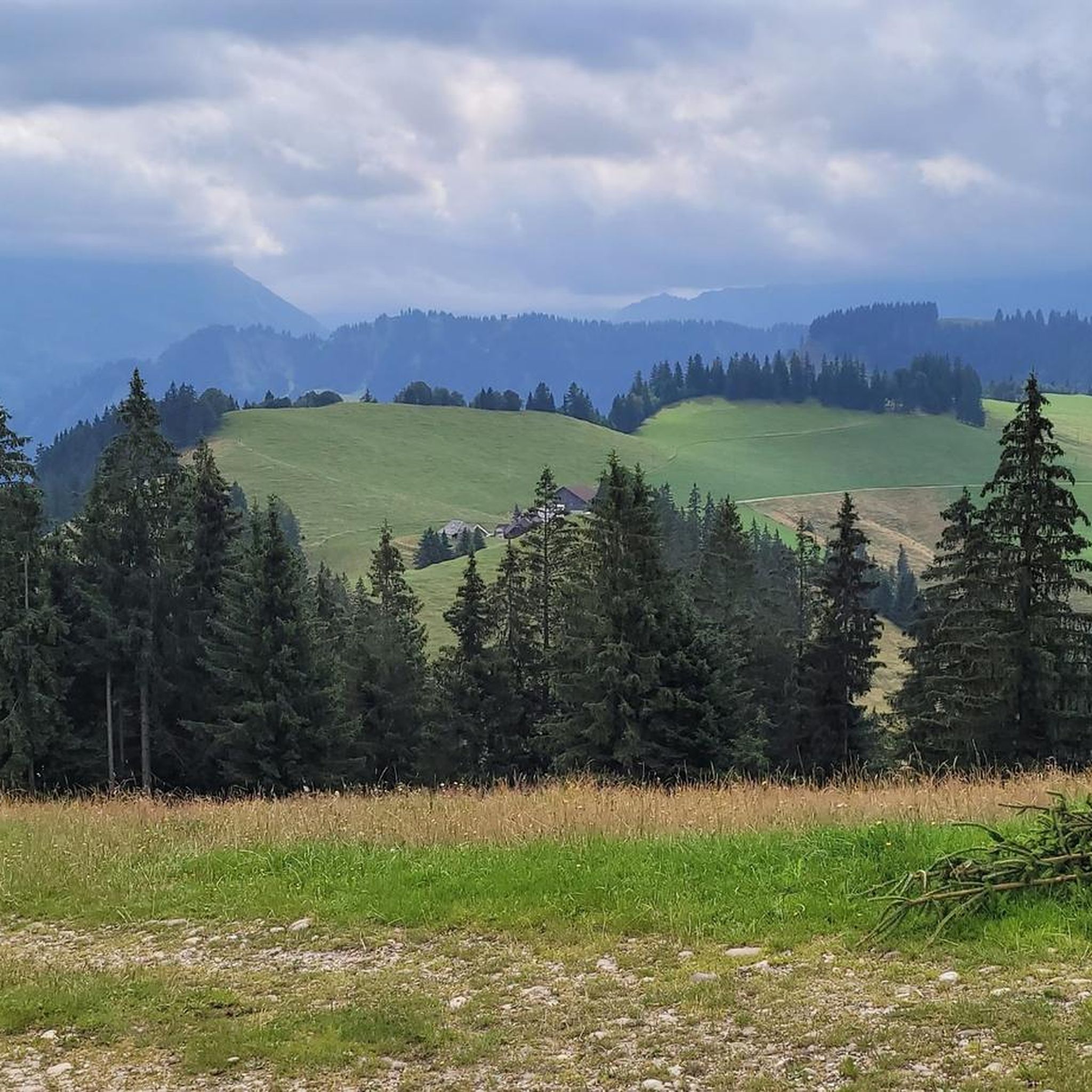
Mountaineering routes around Escholzmatt-Marbach traverse the diverse landscapes of the Entlebuch region, characterized by rolling hills, dense forests, and distinctive karst formations like the Schrattenfluh massif. The area offers a mix of challenging ascents and more moderate paths through alpine pastures and valleys. These routes provide opportunities to explore the natural environment of this UNESCO Biosphere Reserve.
Best mountaineering routes around Escholzmatt-Marbach
- The most popular mountaineering route is Schrattenfluh – Hengst Summit loop from Salwideli, a 9.3 miles (14.95…
Last updated: September 26, 2026
4.7
(3)
24
hikers
15.1km
05:33
790m
790m
Hard mountaineering route. Very good fitness required. Mostly accessible paths. Sure-footedness required.
5.0
(2)
5
hikers
9.34km
04:13
660m
660m
Moderate mountaineering route. Good fitness required. Mostly accessible paths. Sure-footedness required.

5.0
(1)
6
hikers
13.6km
05:58
1,000m
1,000m
Hard mountaineering route. Very good fitness required. Mostly accessible paths. Sure-footedness required.
6
hikers
Moderate mountaineering route. Good fitness required. Easily-accessible paths. Suitable for all skill levels.
5.0
(3)
7
hikers
7.63km
02:43
420m
420m
Moderate mountaineering route. Good fitness required. Mostly accessible paths. Sure-footedness required.
Get access to more routes and recommendations from other explorers.
Already have an account?
Our route recommendations are based on thousands of hikes, rides, and runs completed by other people on komoot.
Start today with a free account
Your next adventure awaits.
Popular around Escholzmatt-Marbach
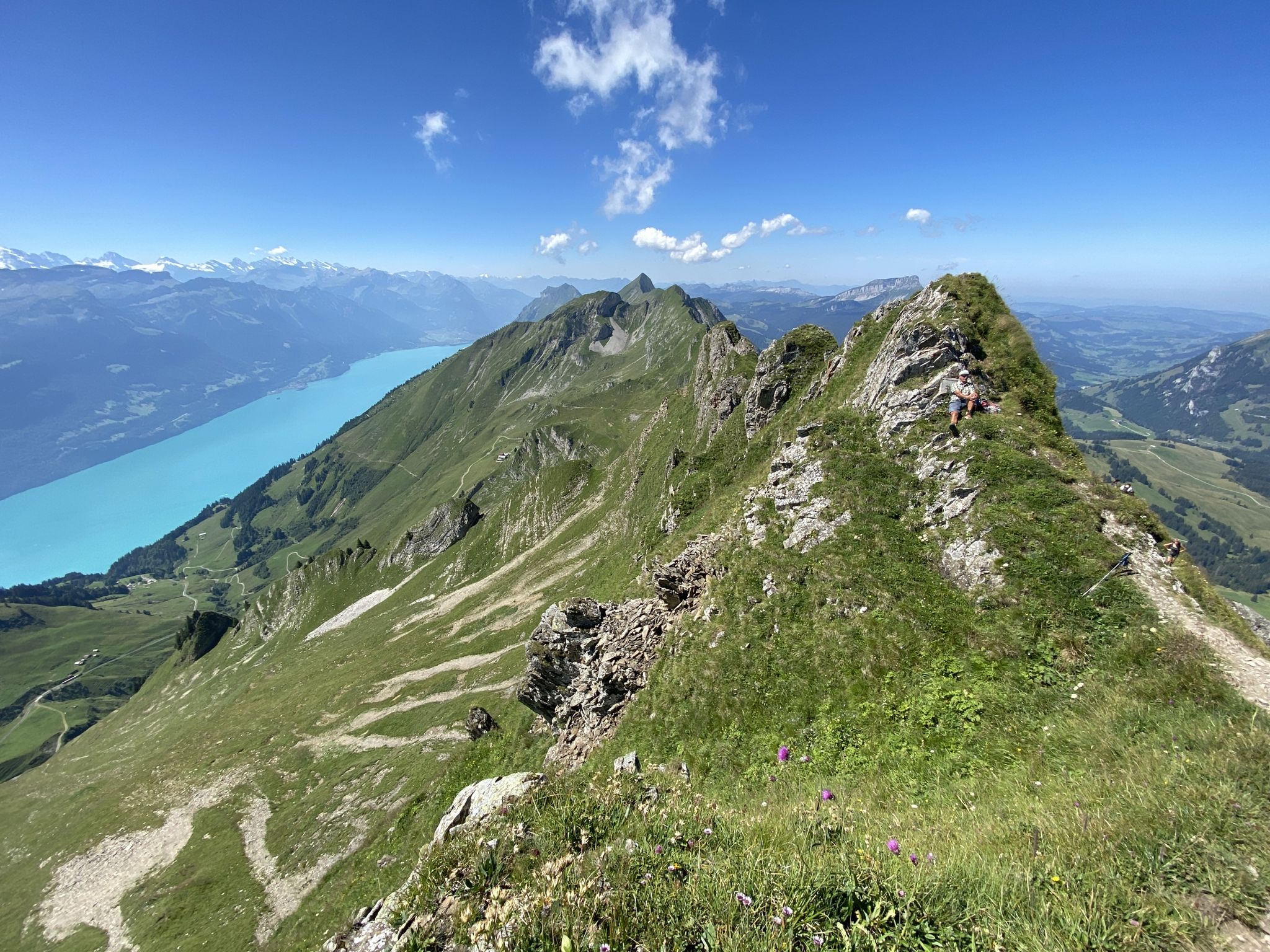
Napfbergland Border Trail – Hike between Bern and Lucerne
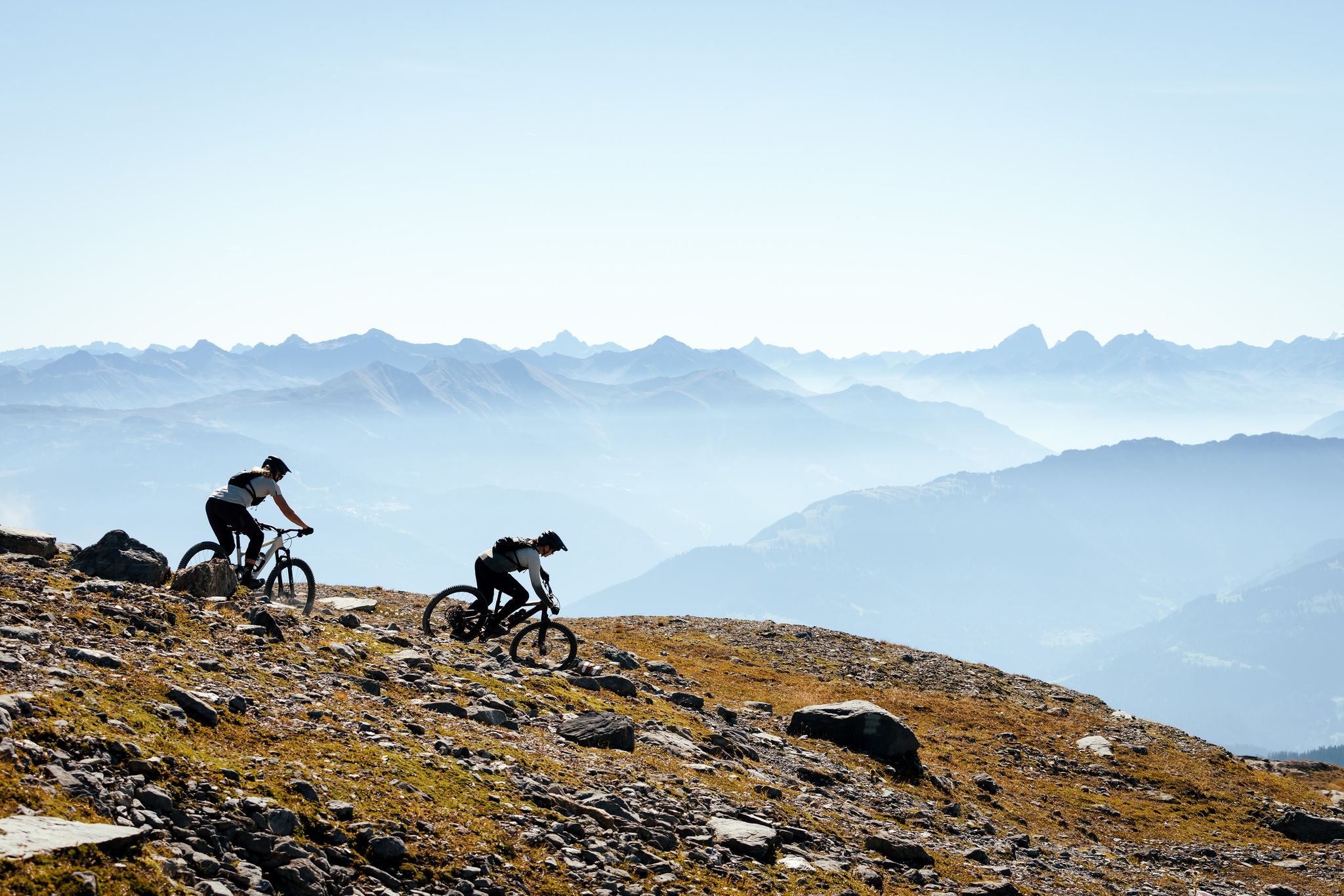
100% Women: the most beautiful MTB routes for every woman
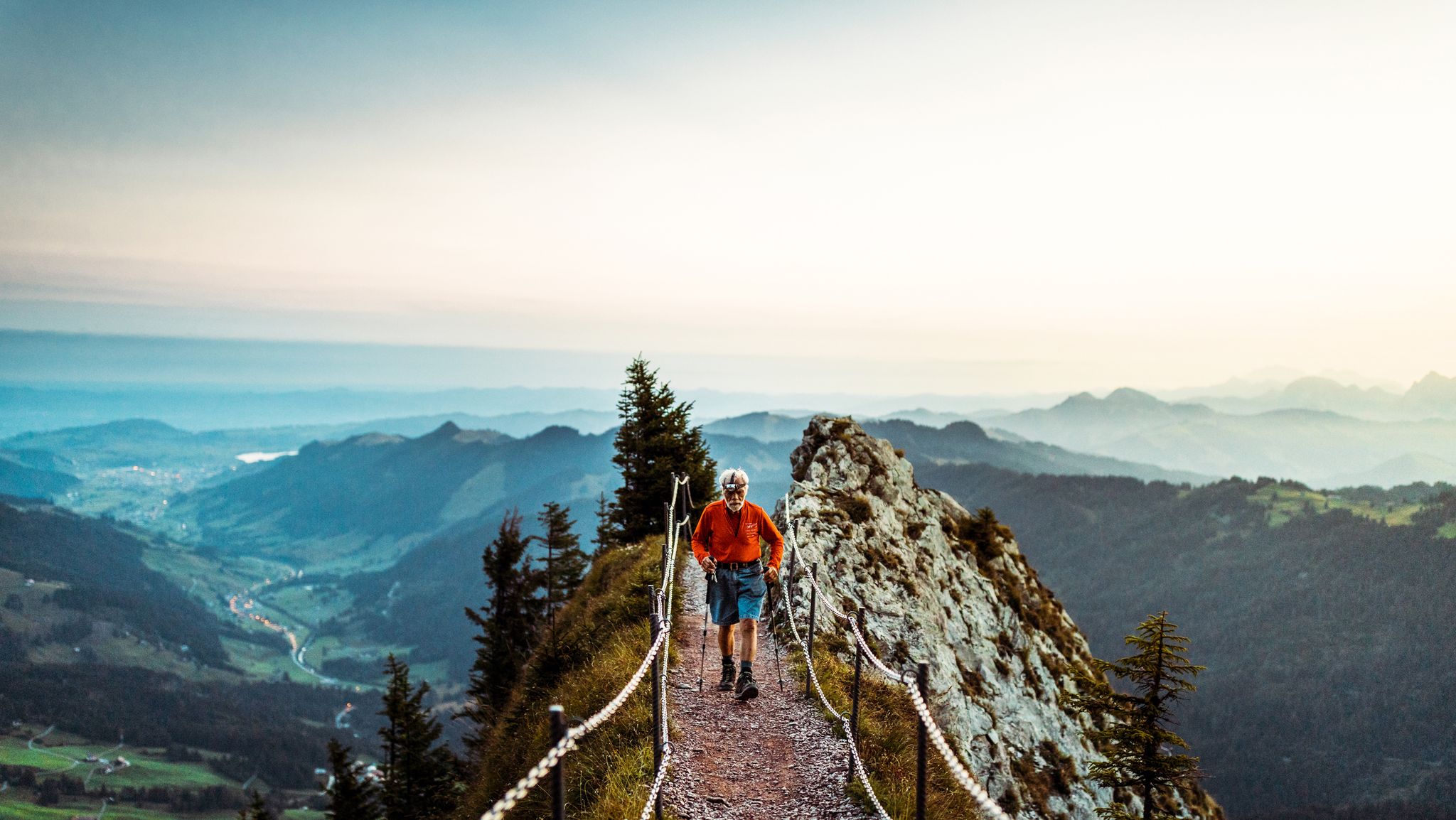
Lucerne — The Myth-man
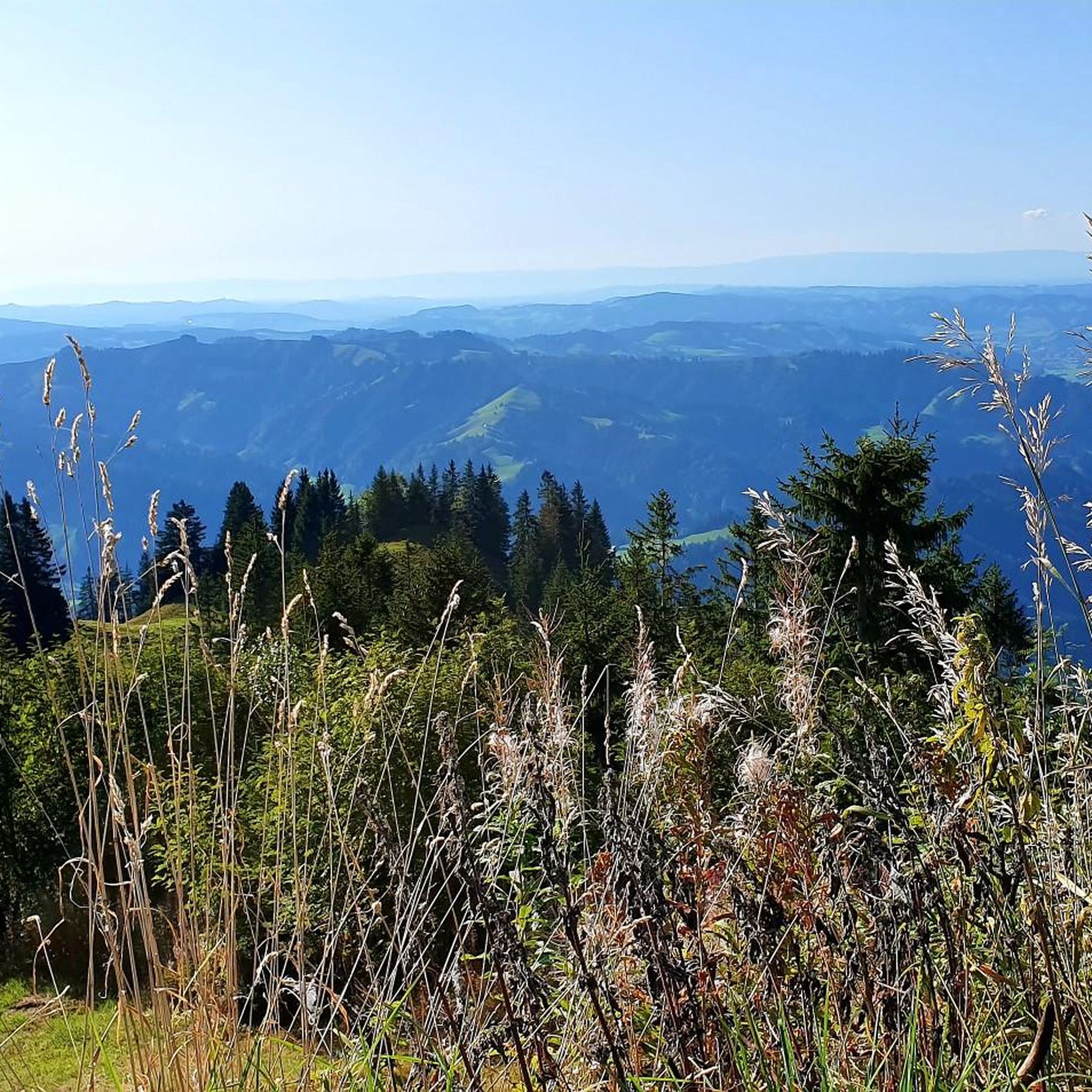
Hiking around Escholzmatt-Marbach
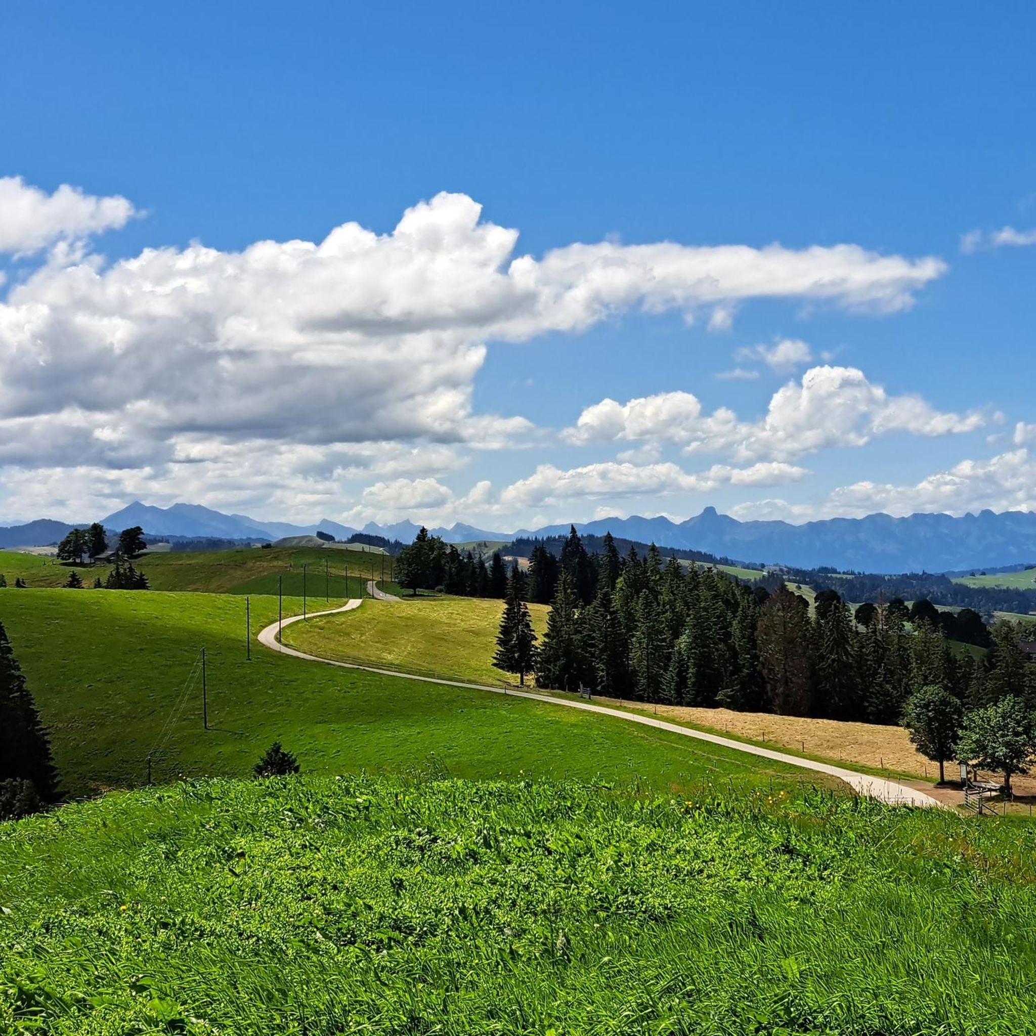
Cycling around Escholzmatt-Marbach
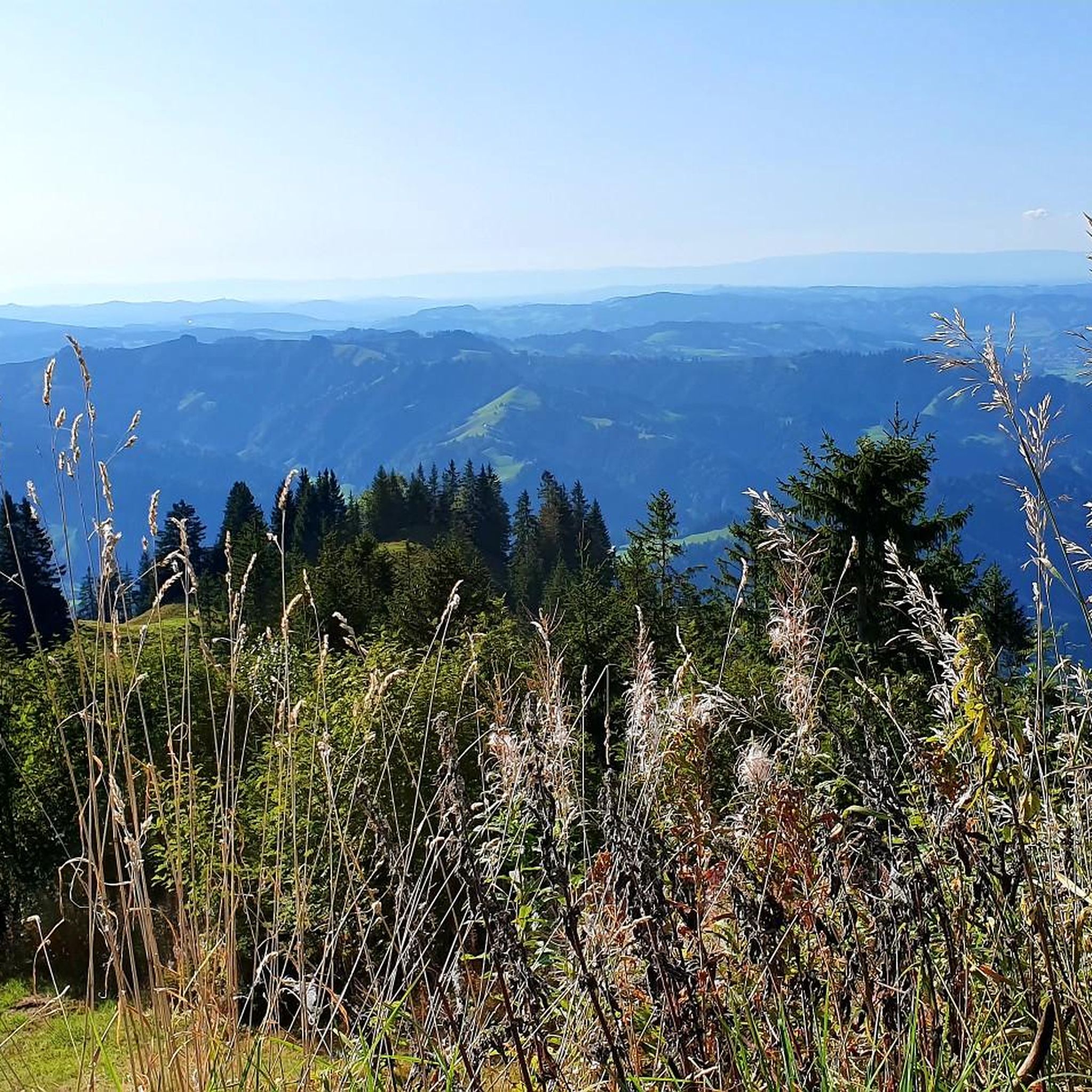
MTB Trails around Escholzmatt-Marbach
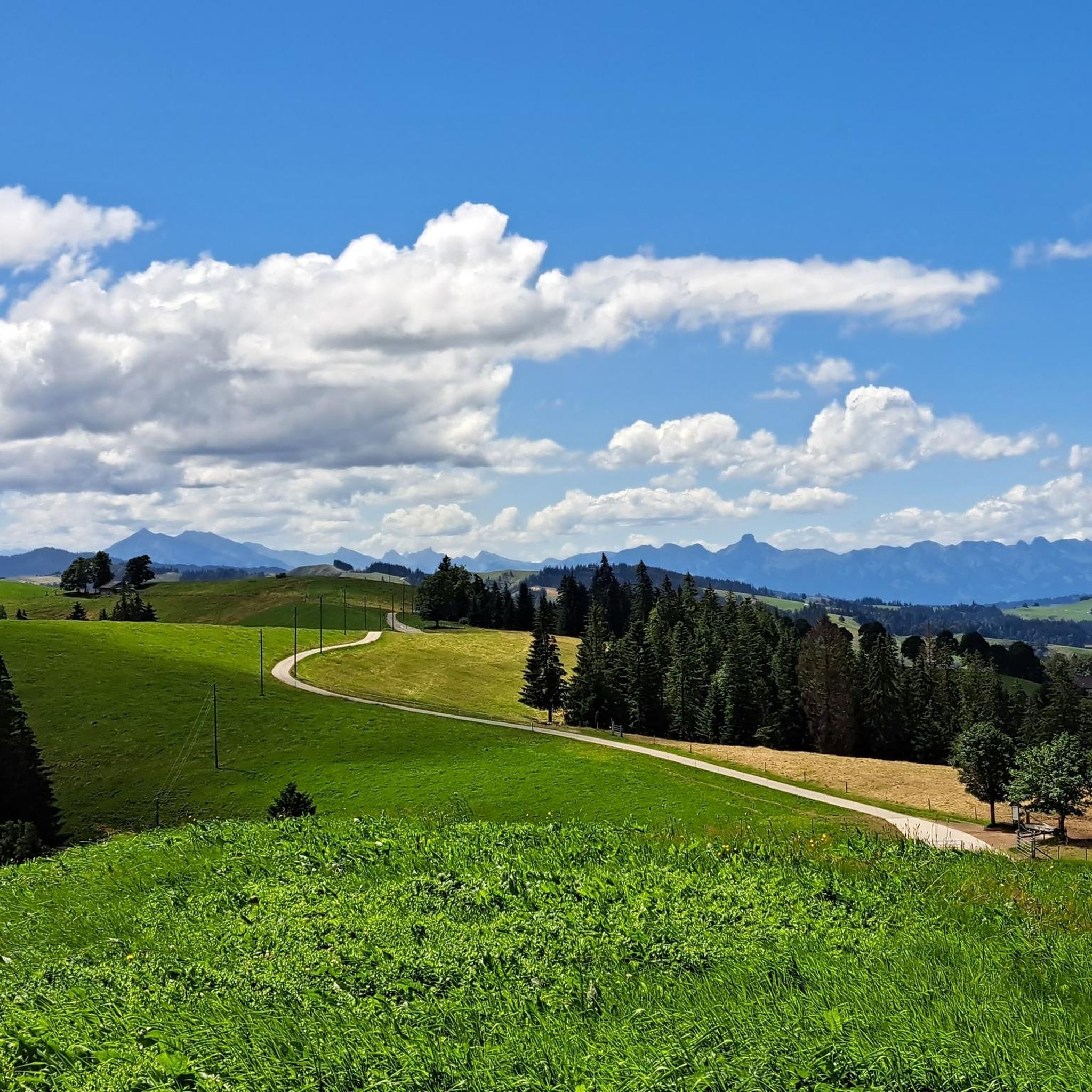
Road Cycling Routes around Escholzmatt-Marbach
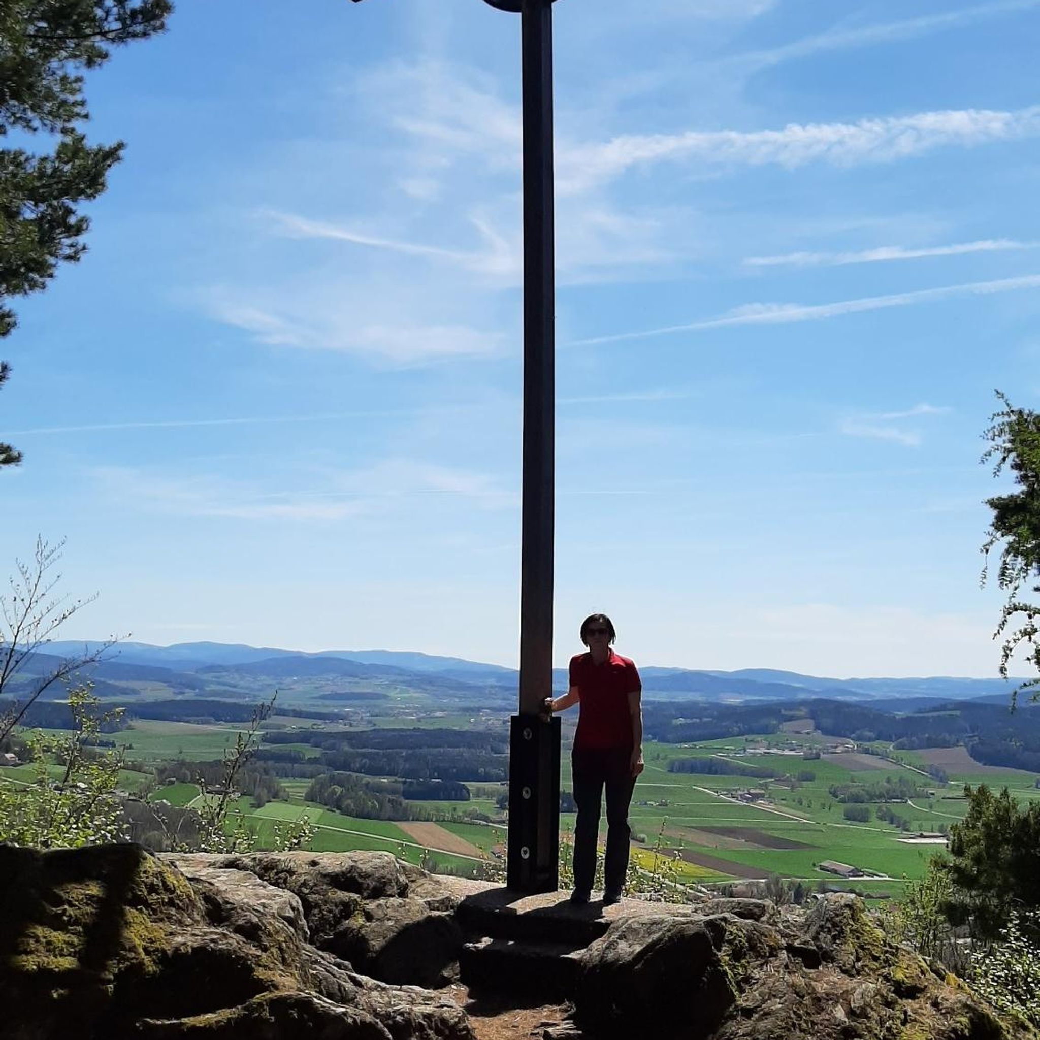
Gravel biking around Escholzmatt-Marbach
Running Trails around Escholzmatt-Marbach
Other adventures around Escholzmatt-Marbach


Tips from the Community

pretty here, very pretty
0
0


The signpost is on the road next to the chapel
4
1

Ideal early in the morning. But there are also plenty of opportunities to take a break later and enjoy the fantastic view.
1
0

🌄🏔️ Hike to the Hengst (2,092 m) in the Schrattenfluh - Switzerland's karst paradise: The hike to the Hengst begins in Sörenberg, either at the Salwideli mountain inn or at Alp Schlund. From there, a marked mountain path leads over steep karren fields and bizarre rock formations to the summit of the Hengst. The route is moderately demanding, so surefootedness and a head for heights are required. 🧗♂️ The ascent takes about 4-5 hours for the round trip, and during the hike you can enjoy impressive views of the Bernese Alps and the Mittelland. The unique karst landscapes are particularly fascinating, with their bizarre rocks and karren fields offering ideal photo opportunities. 📸 A magnificent panoramic view awaits you at the summit, and with a bit of luck you might even spot ibexes in the area. 🦅🌸 The best time for this hike is from June to October when the trails are free of snow and dry. Be aware that when wet the limestone rocks become slippery, so good weather is crucial for this tour. 🌞
0
0
The signpost is right next to the mountain restaurant
6
3
A nice place - with a drinking fountain - to rest.
0
0
Frequently Asked Questions
How many mountaineering routes are available around Escholzmatt-Marbach?
There are over 35 mountaineering routes in the Escholzmatt-Marbach area, offering a wide range of experiences through the diverse landscapes of the Entlebuch region. These include paths through rolling hills, dense forests, and distinctive karst formations.
Are there any easy or beginner-friendly mountaineering routes in Escholzmatt-Marbach?
While many routes are challenging, there are 11 moderate mountaineering routes suitable for those looking for a less strenuous experience. One such option is the Schrattenfluh – Hengst Summit loop from Wagliseichnubel, which is 5.8 miles (9.3 km) long and winds through varied terrain.
What kind of natural attractions can I expect to see along the mountaineering routes?
The region is rich in natural beauty. You can discover stunning waterfalls like the Chessiloch Waterfall and the Mühlebach Waterfall. The area also features unique karst landscapes, dense forests, and panoramic summit views, including the Brienzer Rothorn Summit and Augstmatthorn Summit.
Are there any circular mountaineering routes in the area?
Yes, many of the mountaineering routes around Escholzmatt-Marbach are circular, allowing you to start and end at the same point. Examples include the challenging Schrattenfluh – Hengst Summit loop from Salwideli, or the moderate Hapfigchnubel loop from Napf.
What is the best time of year for mountaineering in Escholzmatt-Marbach?
The best time for mountaineering in Escholzmatt-Marbach is typically from late spring to early autumn (May to October), when the weather is most stable and trails are clear of snow. This allows for optimal enjoyment of the alpine pastures and panoramic views. Always check local weather conditions before heading out.
What do other mountaineers enjoy most about the routes in Escholzmatt-Marbach?
The mountaineering routes in Escholzmatt-Marbach are highly rated by the komoot community, with an average score of 4.7 stars from over 30 reviews. Mountaineers often praise the diverse terrain, from challenging karst formations to serene forest sections, and the expansive views across the UNESCO Biosphere Reserve.
Are there any longer, more challenging mountaineering routes for experienced hikers?
Absolutely. For experienced mountaineers, there are 25 difficult routes available. The Hengst Summit – Schrattenfluh loop from Hirsegg is a challenging 8.3 miles (13.4 km) trail that leads through demanding mountain terrain, often taking nearly 6 hours to complete.
Can I find any hidden gems or less-traveled routes in the region?
While popular routes offer stunning views, exploring some of the less-frequented paths can reveal unique perspectives. Consider the Farneren – Bleikiwald loop from Farneren, a moderate 7.7 miles (12.4 km) route that offers a different experience through forest and open areas.
Are there any specific landmarks or points of interest near the mountaineering trails?
Beyond the natural beauty, you can find interesting points like the Chessiloch Suspension Bridge. The region is also part of the UNESCO Biosphere Entlebuch, known for its unique moorland landscapes such as the Glaubenberg Moorland.
What is the typical duration for mountaineering routes in Escholzmatt-Marbach?
The duration of mountaineering routes varies significantly based on difficulty and distance. Moderate routes can take around 2.5 to 4 hours, while more difficult and longer trails, such as the Schrattenfluh – Hengst Summit loop from Salwideli, can take over 5.5 hours to complete.
Most popular routes around Escholzmatt-Marbach
Most popular attractions around Escholzmatt-Marbach

Get inspired with the komoot mobile app


Explore more
Browse the best Mountain Hikes & Routes in other regions.
