The best running trails around Montpreveyres
4.4
(497)
14,003
runners
388
runs
Jogging around Montpreveyres offers a variety of routes through diverse landscapes. The region features a mix of open fields, dense forests, and gentle slopes, providing varied terrain for runners. Elevation changes are generally moderate, making many paths accessible for different fitness levels. The area is characterized by its natural setting, with trails often winding through wooded areas and past local landmarks.
Best jogging routes around Montpreveyres
- The most popular jogging route is Fields opposite Chalet-à-Gobet – Wooden Trough Fountain loop…
Last updated: November 7, 2026
4.6
(14)
494
runners
Moderate run. Good fitness required. Mostly paved surfaces.
15
runners
Moderate run. Good fitness required. Mostly paved surfaces.

12
runners
6.46km
00:44
120m
120m
Moderate run. Good fitness required. Mostly paved surfaces.
6
runners
12.8km
01:25
190m
190m
Moderate run. Good fitness required. Mostly paved surfaces.
3
runners
13.3km
01:34
260m
260m
Moderate run. Good fitness required. Mostly paved surfaces.
Get access to more routes and recommendations from other explorers.
Already have an account?
Our route recommendations are based on thousands of hikes, rides, and runs completed by other people on komoot.
Start today with a free account
Your next adventure awaits.

Tips from the Community

A beautiful stretch of field opposite the village of Chalet-à-Gobet gives way to the surrounding forest of the Parc Naturel du Jorat.
2
0

Good level recommended, I pushed the bike (finally retained the bike) 😀 respect to those who pass on the bike!
0
0
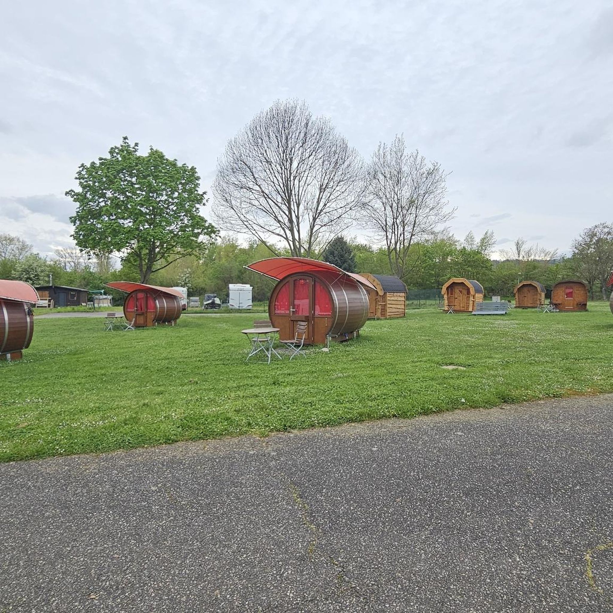
Nice for a picnic or a barbecue, 30 m from the (small) road. Very easy to access for people with reduced mobility
0
0
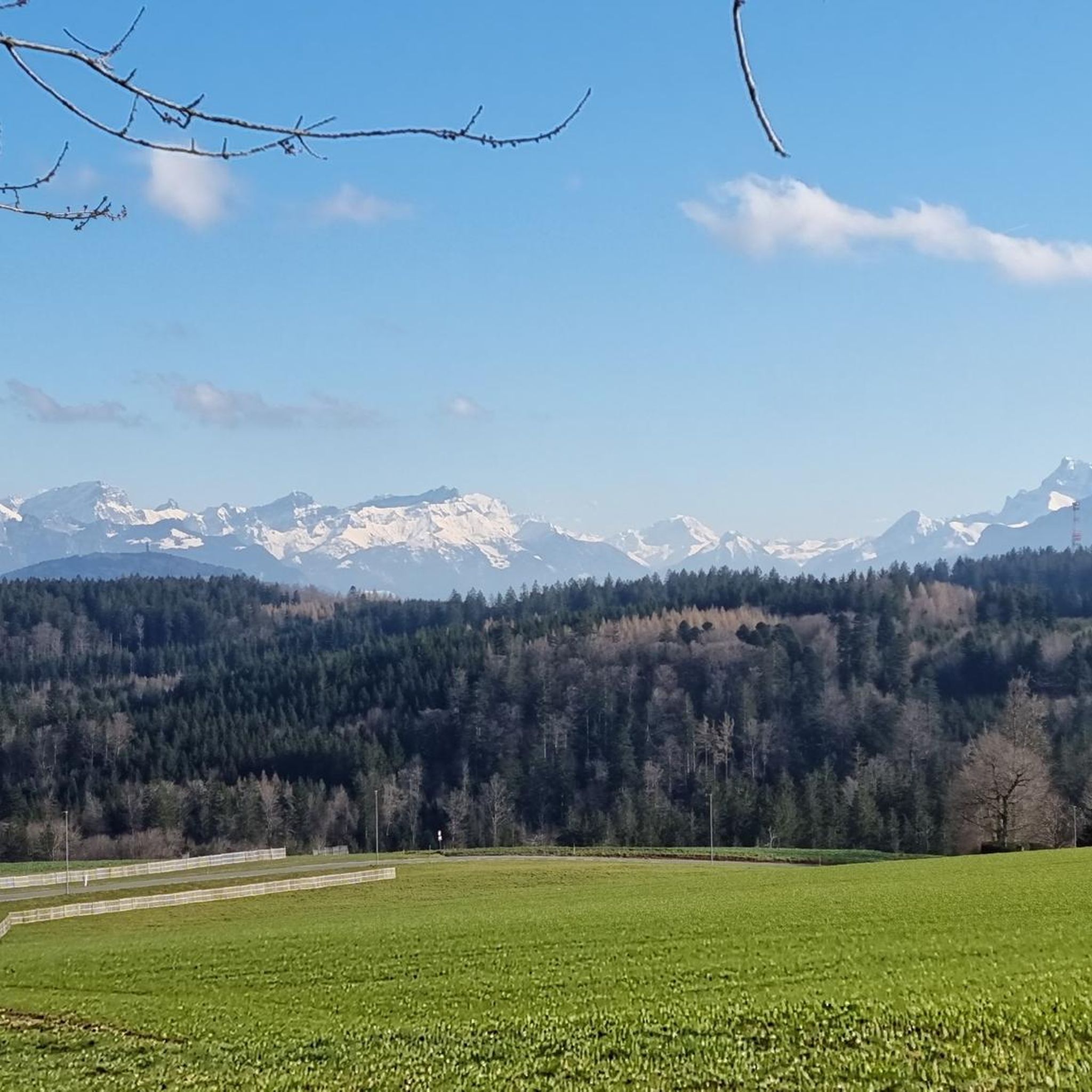
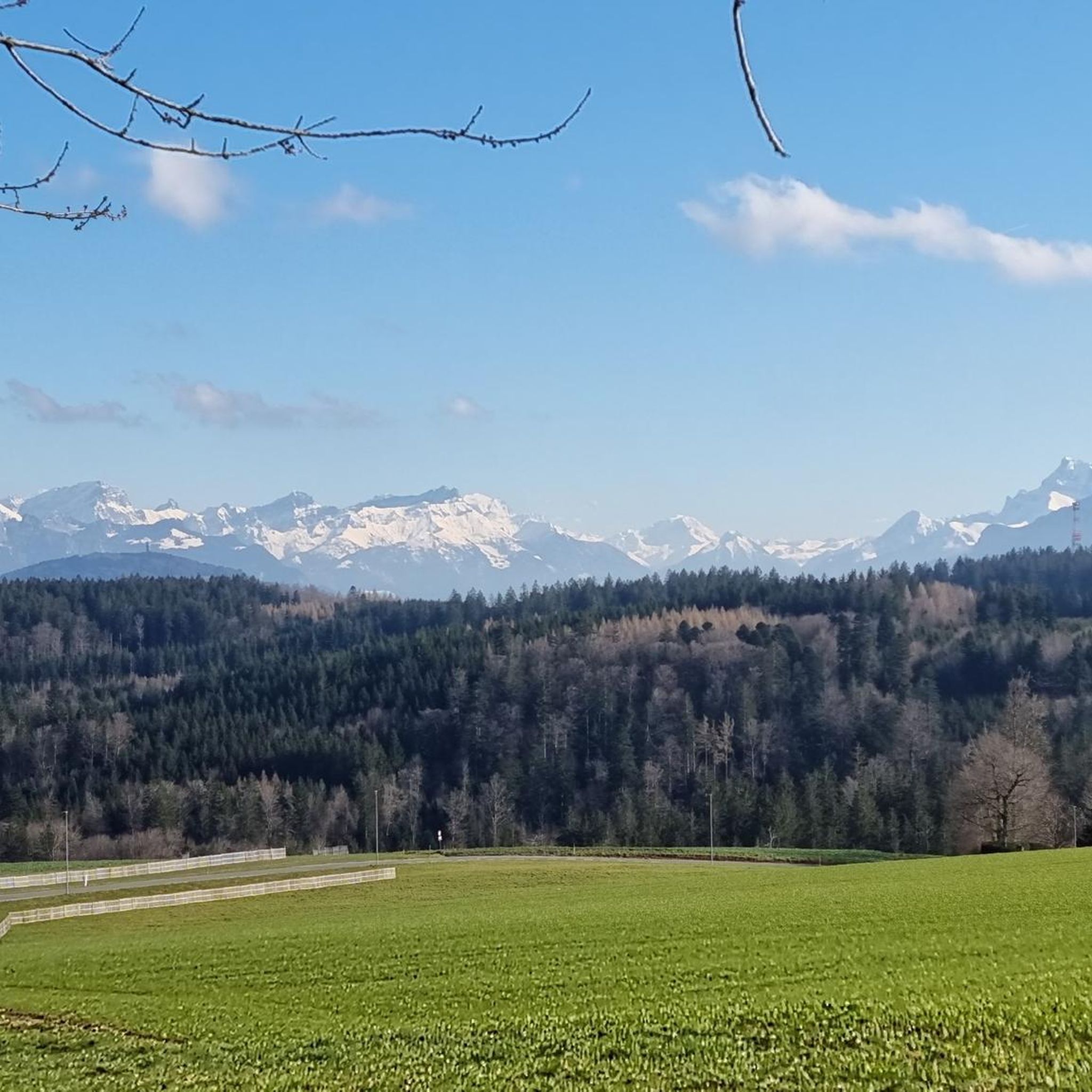
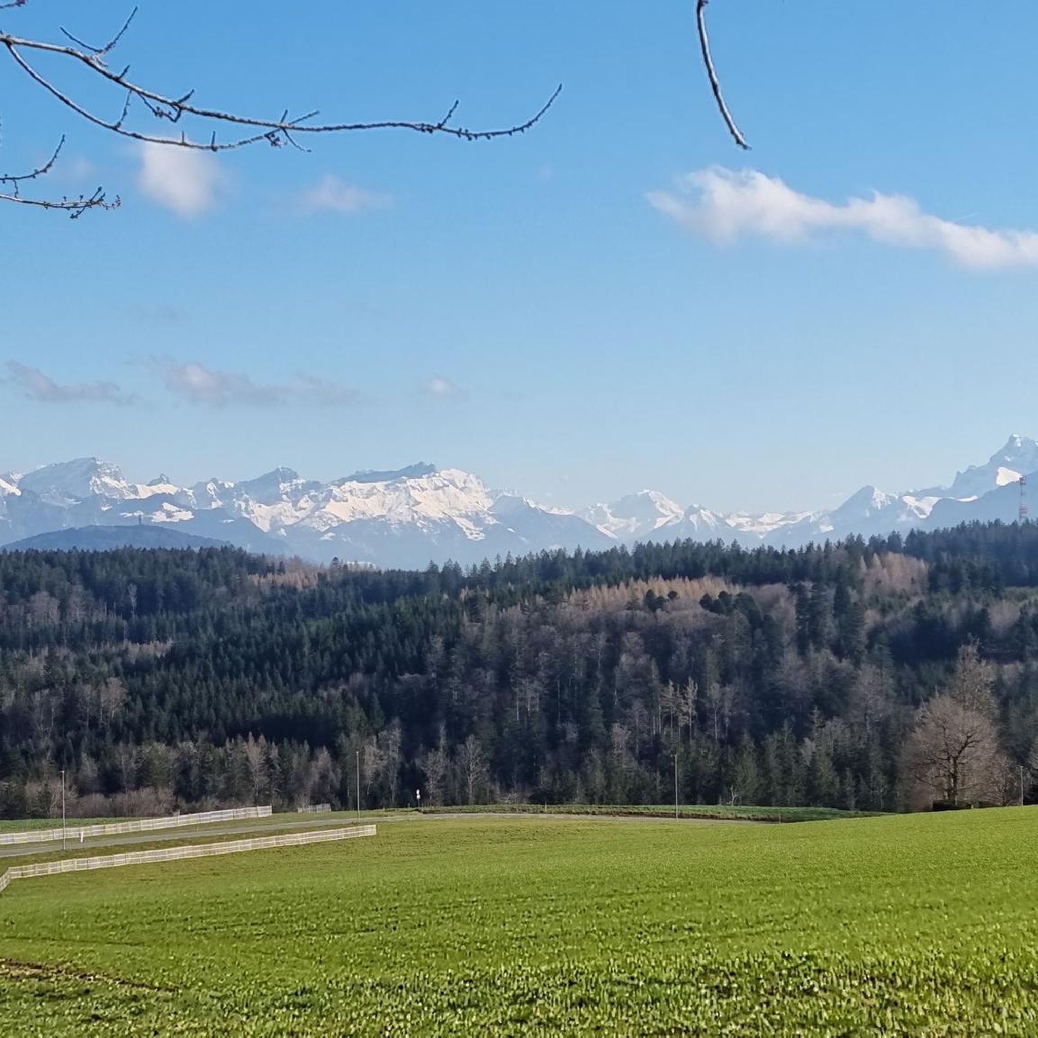
Beautiful view of the Pre-Alps and the Dents du Midi.
1
0

Nice descent with roots. Can be quick and technical. As desired.
0
0
A beautiful place that can quickly hurt, watch out for the "root staircase" part. We end with a small passage in the river.
0
0
On the right, a narrow passage and a nice descent which ends in a pool of mud. Then slope then passage into the river, with or without jump. Saw human and horse footprints, but doubted the latter.
0
0
Wide downhill section, with 2 or 3 jumps. Fast if you pedal hard. Watch out for horses and humans with their dogs. Not too many roots, but lots of grass. Last steeper section that narrows 100m before the end.
0
0
Frequently Asked Questions
How many running routes are available around Montpreveyres?
There are over 400 running routes in the Montpreveyres region, offering a wide variety of options for all fitness levels. The komoot community has explored these trails over 12,000 times.
Are there easy running paths suitable for beginners in Montpreveyres?
Yes, Montpreveyres offers several easy running paths. While most routes are rated moderate, there are 22 routes specifically categorized as easy, providing gentle terrain ideal for beginners or a relaxed jog.
What are some longer running trails near Montpreveyres?
For those seeking longer distances, routes like the Root Path – Gentle Forest Slope loop from Montpreveyres extend to over 12 km, and the Forest Picnic Area – Gentle Forest Slope loop from Montpreveyres is over 13 km, offering more extensive running experiences through varied forest and open landscapes.
Can I find circular running routes in the Montpreveyres area?
Absolutely. Many of the running routes around Montpreveyres are designed as loops, allowing you to start and finish in the same location. Examples include the popular Fields opposite Chalet-à-Gobet – Wooden Trough Fountain loop from Étang de la Bressonne and the Root Staircase Descent Trail – Gentle Forest Slope loop from Montpreveyres.
Are there any running routes around 10k in Montpreveyres?
Yes, several running routes in Montpreveyres are close to or exceed 10 km. The Root Staircase Descent Trail – Gentle Forest Slope loop from Montpreveyres is approximately 9.5 km, offering a great option for a 10k-ish run through forest terrain.
What kind of terrain can I expect on the running trails in Montpreveyres?
The running trails in Montpreveyres feature a diverse mix of terrain, including open fields, dense forests, and gentle slopes. You'll encounter natural surfaces, with some paths winding through wooded areas and past local landmarks, providing a varied and engaging running experience.
What do other runners enjoy most about jogging in Montpreveyres?
The running routes in Montpreveyres are highly rated by the komoot community, with an average score of 4.4 stars from over 490 reviews. Runners often praise the region's natural setting, the variety of forest paths and open fields, and the accessibility of routes for different fitness levels.
Are there any scenic viewpoints or attractions along the running routes?
While specific viewpoints directly on the running routes are not highlighted, the region is close to several notable attractions. You might consider exploring the nearby Lavaux Vineyards or the historic Château Saint-Maire, which offer beautiful scenery and cultural interest in the wider area.
Are the running trails in Montpreveyres suitable for families?
Many of the running paths in Montpreveyres, particularly the easier and moderate routes with gentle slopes and natural settings, can be suitable for families. It's always recommended to check the specific route details for distance and elevation to ensure it matches your family's capabilities.
What is the best season for running in Montpreveyres?
Montpreveyres offers enjoyable running conditions across multiple seasons. Spring and autumn provide pleasant temperatures and beautiful scenery with changing foliage. Summer is also popular, especially on shaded forest trails. Winter running is possible, but conditions may vary, so checking local weather and trail reports is advisable.
Are there any advanced or challenging running trails in Montpreveyres?
While most routes are moderate, there are 41 routes categorized as difficult for those seeking a greater challenge. These trails typically feature more significant elevation changes or more technical terrain, providing a rigorous workout for experienced runners.
Can I bring my dog on the running trails in Montpreveyres?
Generally, many natural trails in Switzerland are dog-friendly, especially if dogs are kept on a leash. However, specific regulations can vary by municipality or protected areas. It's always best to check local signage or official regional guidelines for any restrictions on specific paths or in nature reserves.
Is there public transport access to the running routes in Montpreveyres?
Montpreveyres is a well-connected village in the canton of Vaud, Switzerland, typically served by local bus routes. You can often reach trailheads or starting points of running routes by using public transport. We recommend checking the local public transport schedules for the most convenient access points.
Are there options for parking near the running trails in Montpreveyres?
Yes, Montpreveyres and its surrounding areas generally offer parking facilities, especially near popular trailheads or village centers. It's advisable to check maps or local information for designated parking areas closest to your chosen running route.
Most popular routes around Montpreveyres
Most popular attractions around Montpreveyres

Get inspired with the komoot mobile app


Explore more
Browse the best Running Trails & Routes in other regions.
