The best running trails around Montségur
4.3
(16)
1,003
runners
22
runs
Jogging routes around Montségur traverse the heart of the Ariège Pyrenees, offering diverse terrain for runners. The region features dramatic mountain scenery, verdant valleys, and the imposing presence of Montségur Castle. Trails often wind through shaded ash woods, rocky slopes, and grassy mountain heaths, with some routes featuring mostly paved or accessible paths. Joggers can experience varied elevation changes, from gentle paths to challenging mountain runs, within the surrounding Massif de Saint-Barthélémy nature reserve.
Best jogging routes around Montségur
- The…
Last updated: October 7, 2026
4.0
(1)
12
runners
8.22km
01:06
350m
350m
Hard run. Very good fitness required. Sure-footedness, sturdy shoes and alpine experience required.
10
runners
5.65km
00:48
240m
240m
Moderate run. Good fitness required. Mostly paved surfaces. Suitable for all skill levels.

8
runners
17.8km
03:32
1,350m
1,350m
Hard run. Very good fitness required. Sure-footedness, sturdy shoes and alpine experience required.
7
runners
26.2km
04:02
1,390m
1,390m
Hard run. Very good fitness required. Sure-footedness, sturdy shoes and alpine experience required.
5.0
(2)
8
runners
4.89km
00:33
110m
110m
Moderate run. Good fitness required. Mostly paved surfaces. Suitable for all skill levels.
Get access to more routes and recommendations from other explorers.
Already have an account?
Our route recommendations are based on thousands of hikes, rides, and runs completed by other people on komoot.
Start today with a free account
Your next adventure awaits.
Popular around Montségur
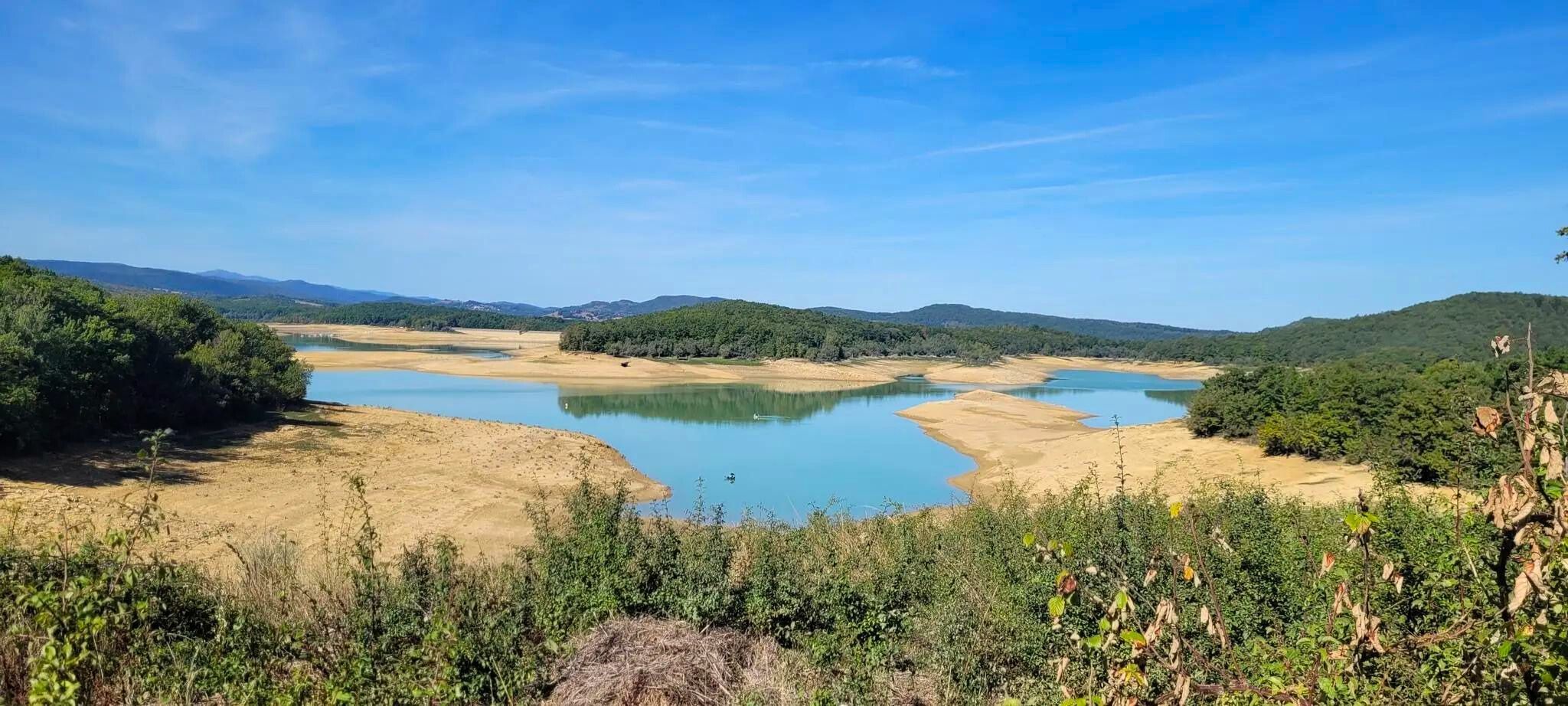
Plains, hills and mountains – GR 7 in the heart of France’s Occitania
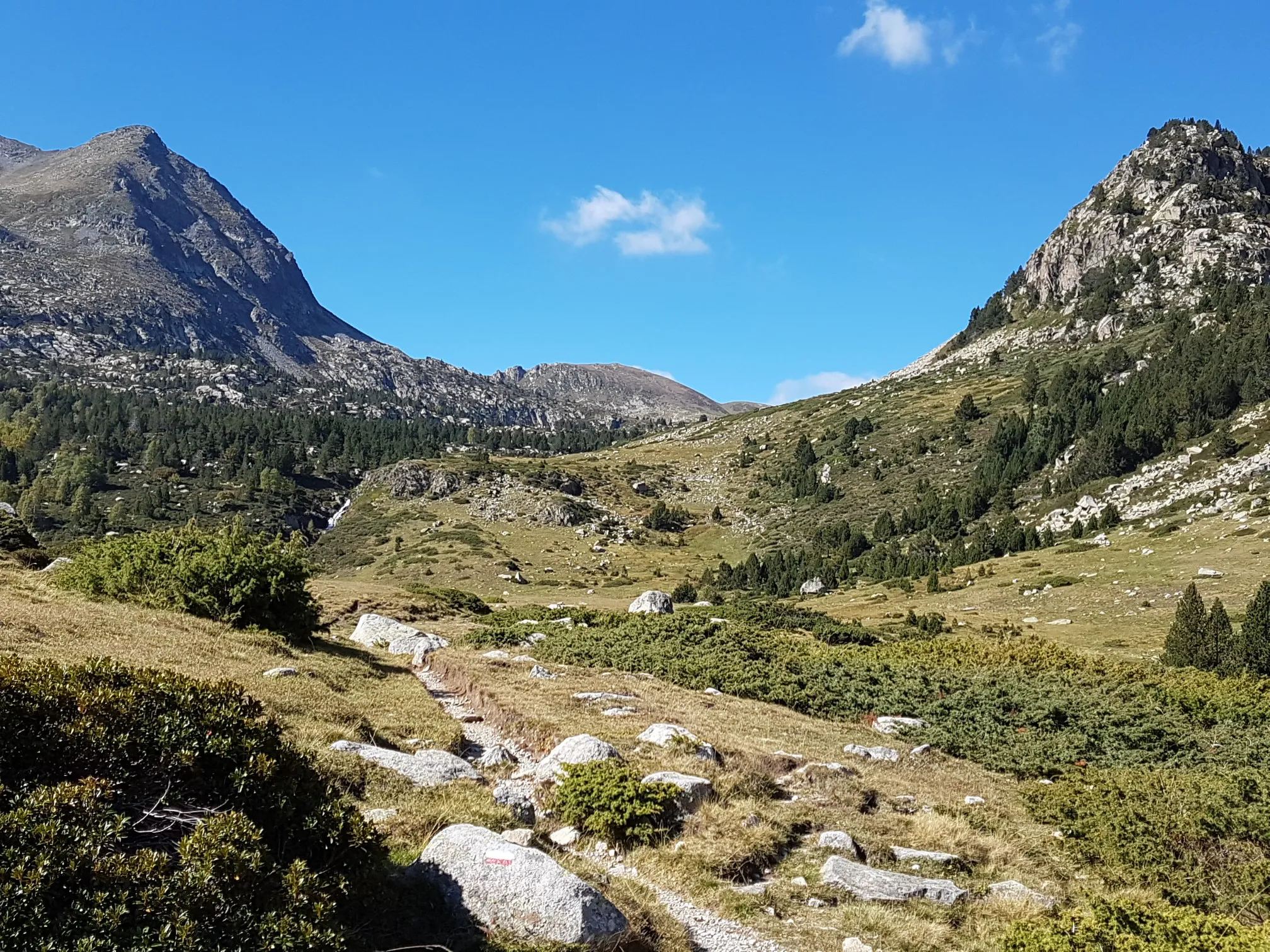
Le chemin des Bonshommes — In the footsteps of the Cathars
Cathar Route from Catalonia to France – Bons Homes Path (GR 107)
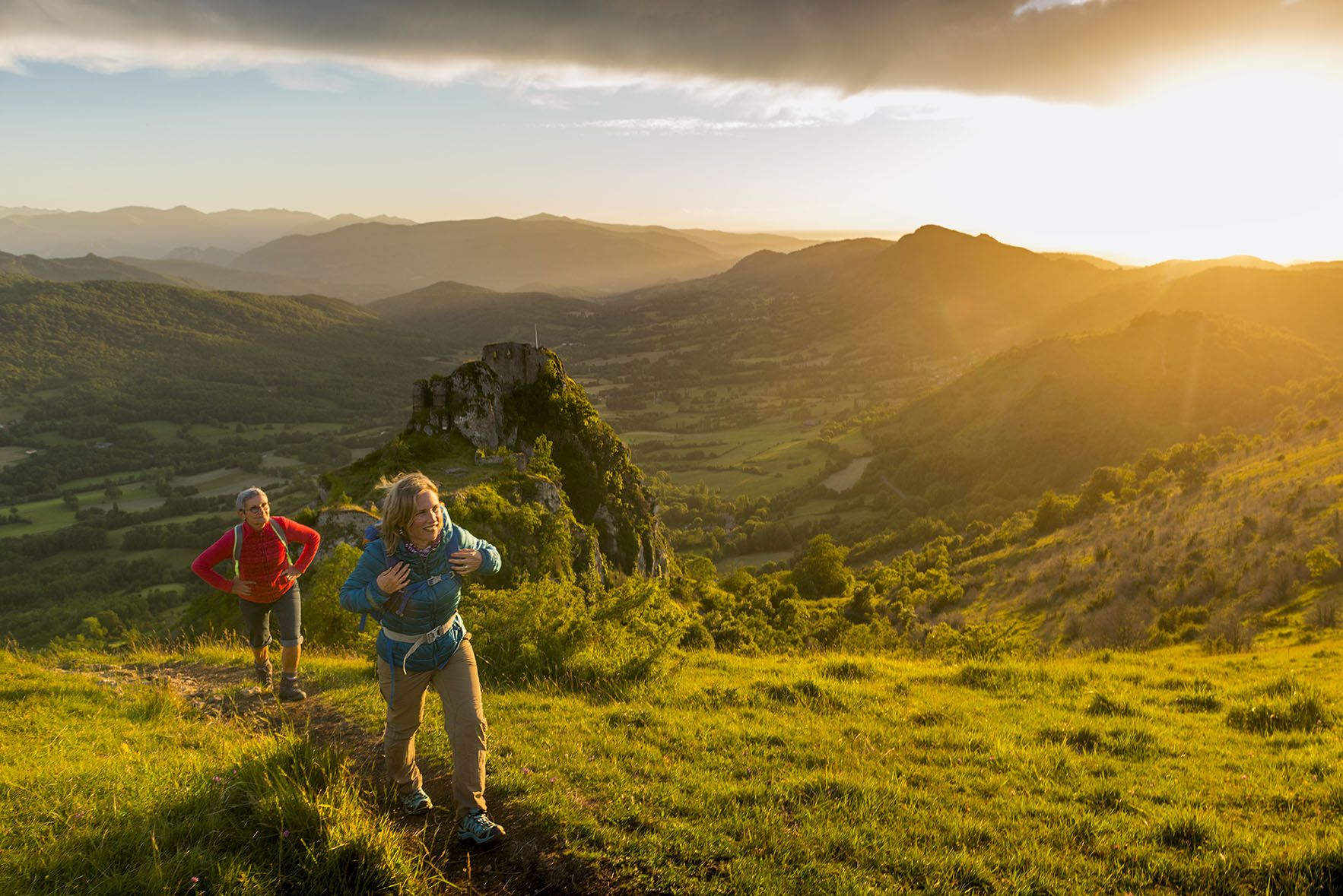
The chemin des Bonshommes — a journey between France and Spain
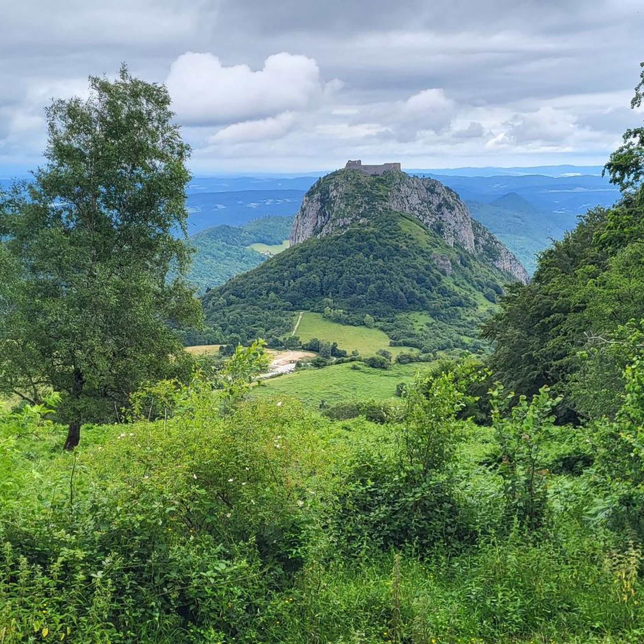
Hiking around Montségur
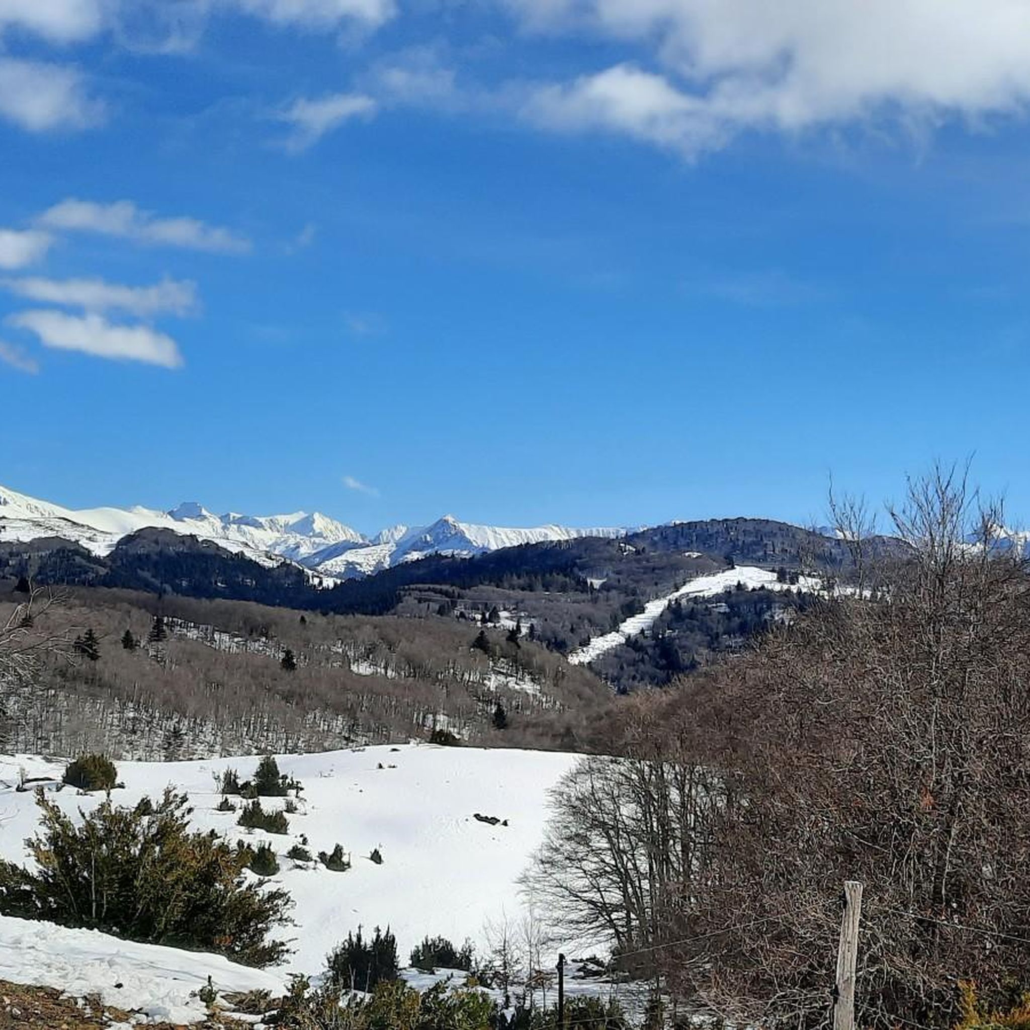
Road Cycling Routes around Montségur
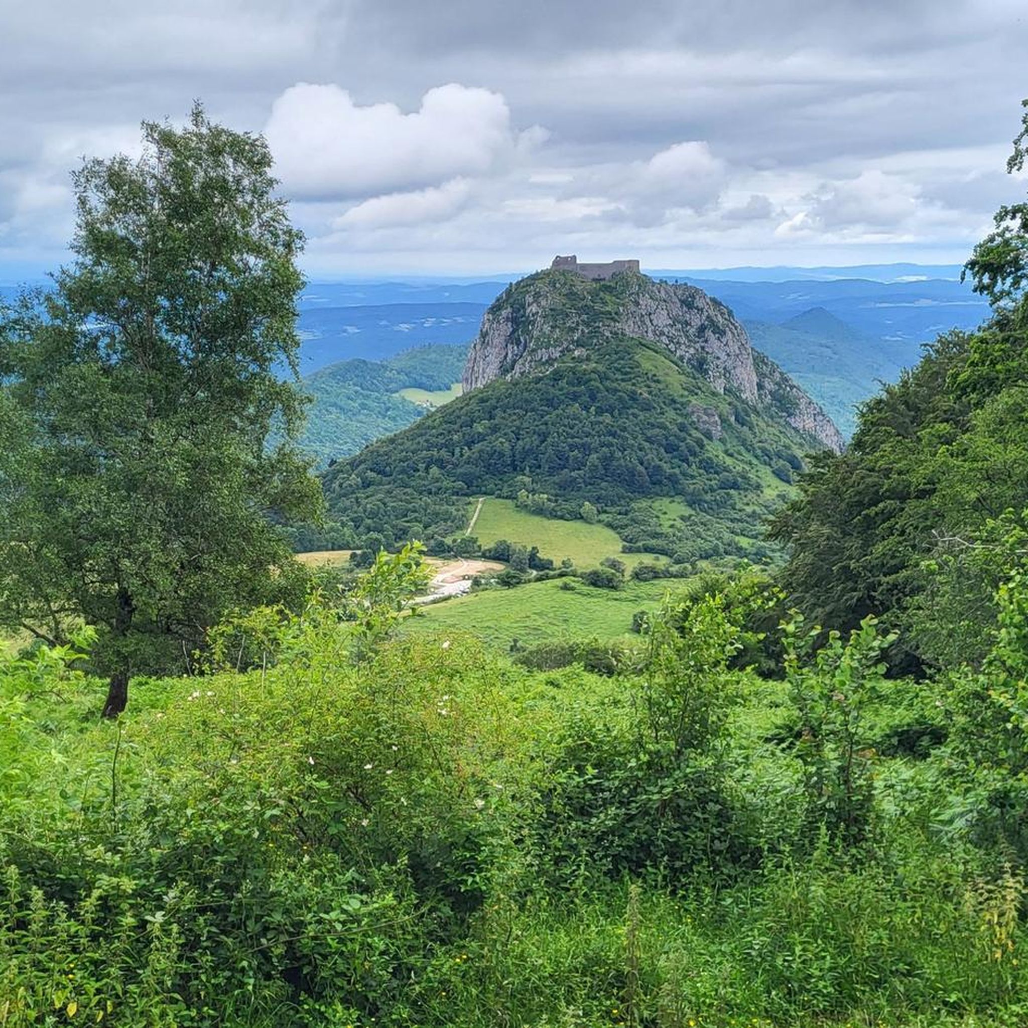
Cycling around Montségur
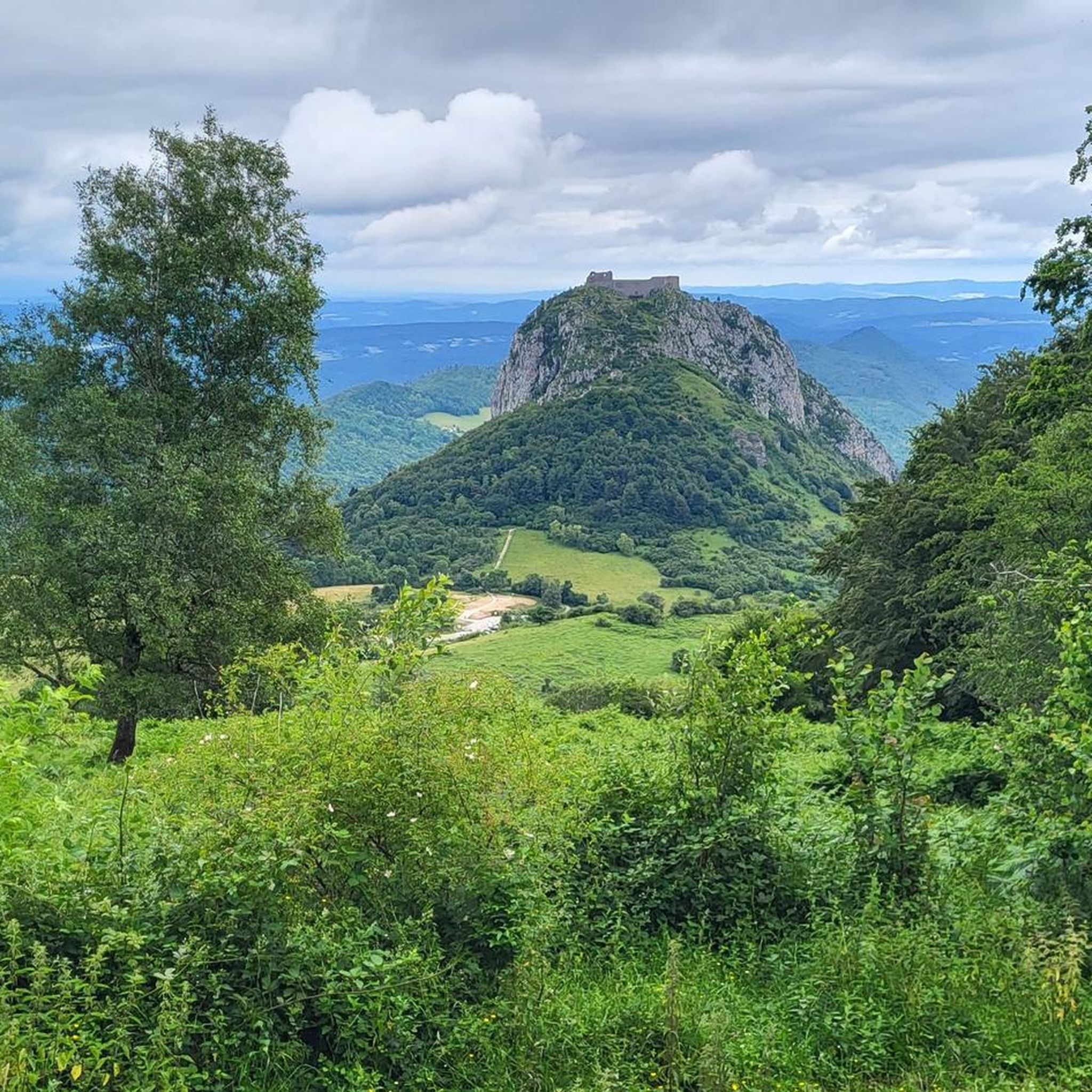
MTB Trails around Montségur

Gravel biking around Montségur
Mountain Hikes around Montségur
Other adventures around Montségur


Tips from the Community

A perfect place to take a break during your hike. If it rains, you have shelter; and if the weather is nice, a table allows you to enjoy your snack in peace.
0
0

Impressive trail that runs through the gorge
0
0

From Comus, so in the downhill direction with e-MTB. Magnificent and entirely feasible. We prudently dismounted on a few segments of 50-100 meters that were too steep and rocky. On the other hand, in the opposite direction, forget it!
0
0

For a long time, they connected the Aude with the Ariège. This ancient Cathar route allowed the bonshommes to reach Comus from Montségur, and from there to nearby Montaillou.
0
0

Beautiful view of the "safe mountain" - the somewhat arduous climb is definitely worth it, because from the top you have a fantastic view ☺️
1
0

Favorite summit of the Tabe massif, less frequented than the Saint Barthélémy and more fun
1
0

Done on the way down. To put it into perspective, the problematic section is not that long (2km). I was sometimes able (prudently) to stay on the bike, between pushing and even carrying. There are impassable sections, and the elevation gain is indeed high (25%+): it is a mountain hiking trail. But the site is breathtaking and is worth including this section in a tour, especially on the way down. On the way up, I can well believe that it must be a struggle.
0
0
Frequently Asked Questions
What kind of terrain can I expect on the running trails around Montségur?
The Montségur region offers a diverse range of terrain for runners. You'll find everything from gentle paths to more challenging mountain runs. Trails often wind through shaded ash woods, rocky slopes, and grassy mountain heaths. Some routes feature mostly paved or accessible paths, while others, particularly in the surrounding Massif de Saint-Barthélémy nature reserve, offer significant elevation changes and more rugged conditions.
Are there any easy jogging routes in Montségur for beginners or casual runners?
While many of the routes around Montségur are rated as difficult due to significant elevation changes, the region does offer paths suitable for varying levels. For a less strenuous experience, look for routes described as having 'mostly paved surfaces' or 'mostly accessible paths'. These can provide a good introduction to the area's beauty without the intensity of the mountain trails.
What are the best routes for experiencing panoramic views while running?
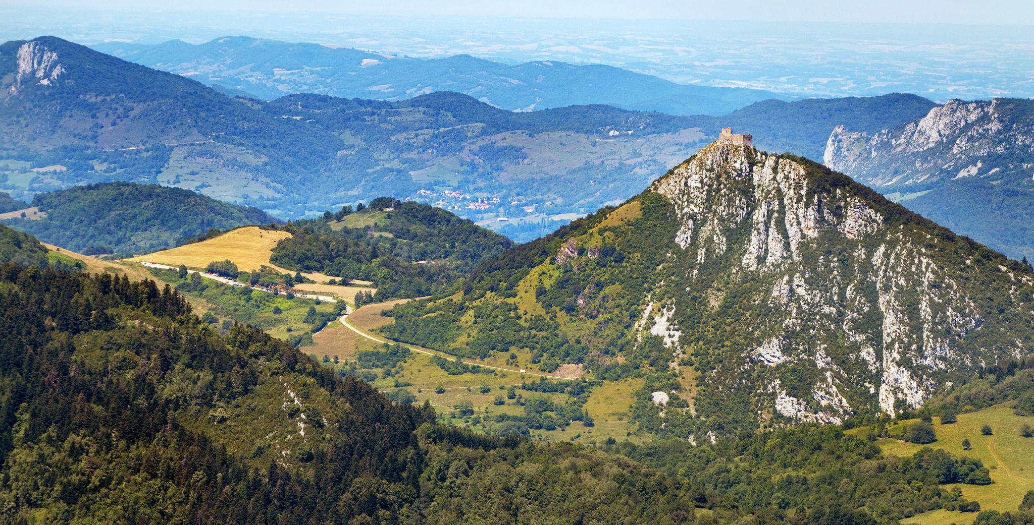
Many running routes in Montségur offer breathtaking vistas. The iconic Montségur Castle itself, perched on a 'pog', provides a dramatic focal point and stunning views from its vicinity. Higher elevations, such as the Pic de Saint-Barthélémy and the Peak of Soularac, offer expansive panoramas stretching across the Ariège Valley, the Toulouse Basin, and the Pyrenean mountain chain. Consider routes that ascend to viewpoints or circle the castle for continuous scenic beauty.
Can I find circular running trails in the Montségur area?
Yes, Montségur offers several excellent circular running trails. For example, the Edge of the hairpin (Montségur) – Awesome! loop from Montségur is a challenging 13.8 km circular route. Another option is the Col de Montségur – Path to Château de Montségur loop from Montségur, which is 10.5 km long and also circular, allowing you to start and end in the same location.
What historical sites or natural landmarks can I see along the running routes?
Montségur is rich in both history and natural beauty. You can run past the iconic Montségur Castle, a significant Cathar stronghold. Other historical sites include Roquefixade Castle. Natural landmarks include the dramatic Gorges de la Frau, the serene Devil's Pond, and the unique Fontestorbes Spring. Some routes also pass by the Roquefort-les-Cascades Waterfalls.
Are there any running routes that pass through forests or near water features?
Absolutely. Many trails in Montségur wind through lush forests, particularly shaded ash woods and fir trees. You can also find routes that follow the River Lasset, where you might spot river trout, or pass by deep blue lakes. The Col de Montségur – Gorges de la Frau loop from Montségur, for instance, leads through dense forests and dramatic gorges, offering a refreshing experience.
What is the best time of year to go running in Montségur?
The Montségur region offers beautiful running conditions throughout much of the year. Spring and autumn generally provide pleasant temperatures and vibrant scenery, with lush greenery or autumnal colors. Summer can be warm, so early morning or late afternoon runs are often preferred. Winter running is possible, especially at lower elevations, but higher mountain trails may be affected by snow and ice, requiring appropriate gear and caution.
What do other runners enjoy most about the trails in Montségur?
The running routes in Montségur are highly rated by the komoot community, with an average score of 4.4 stars from over 10 reviews. Runners often praise the dramatic mountain scenery, the sense of history provided by the Cathar castles, and the diverse terrain that offers both challenging ascents and beautiful forest paths. The panoramic views from various points are also frequently highlighted as a major draw.
Are there options for longer, more challenging runs in Montségur?
Yes, Montségur is well-suited for experienced runners looking for a challenge. Many routes are rated as difficult, featuring significant elevation gains. For example, the Col de Montségur – Gorges de la Frau loop from Montségur is an 18.4 miles (29.7 km) trail with over 1600 meters of elevation gain, typically taking over 4 hours to complete. These longer routes provide an excellent opportunity to explore the Massif de Saint-Barthélémy nature reserve.
Is there public transport or parking available near the running trailheads in Montségur?
While specific public transport details for individual trailheads can vary, Montségur is accessible, and parking is generally available in or near the village. For routes starting directly from Montségur, you can usually find designated parking areas. It's always advisable to check local information for the most up-to-date details on parking and any limited public transport options, especially for more remote trailheads.
Can I combine a run with a visit to Montségur Castle?
Absolutely! Many running routes either start from the village of Montségur or pass close to the castle. The ascent to Montségur Castle itself, while steep, is a short but intense climb that rewards visitors with a stunning view. You can easily incorporate a visit to the castle into your running plan, perhaps as a scenic break or a challenging final ascent. For more information on visiting the castle, you can check resources like visit-occitanie.com.
Most popular routes around Montségur
Most popular attractions around Montségur

Get inspired with the komoot mobile app


Explore more
Browse the best Running Trails & Routes in other regions.
