The best running trails around Bettencourt-Saint-Ouen
4.4
(13)
849
runners
115
runs
Jogging routes around Bettencourt-Saint-Ouen are situated in the Somme department of the Hauts-de-France region, offering a natural setting for outdoor activities. The area features varied terrain with elevations ranging from 17 to 103 meters, providing options for different fitness levels. The landscape includes river paths along the Somme, canal-side routes, and access to nearby natural features like the Forest of Vignacourt. This network of running routes allows for exploration of the region's gentle hills and waterways.
Best jogging routes around…
Last updated: May 13, 2026
18
runners
Moderate run. Good fitness required. Mostly paved surfaces. Suitable for all skill levels.
14
runners
17.2km
01:46
30m
30m
Hard run. Very good fitness required. Mostly paved surfaces. Suitable for all skill levels.

Sign up for free
7
runners
13.8km
01:31
90m
90m
Moderate run. Good fitness required. Mostly paved surfaces. Suitable for all skill levels.
14
runners
18.4km
01:53
40m
40m
Hard run. Very good fitness required. Mostly paved surfaces. Suitable for all skill levels.
5
runners
11.6km
01:18
70m
80m
Moderate run. Good fitness required. Mostly paved surfaces. Suitable for all skill levels.
Get access to more routes and recommendations from other explorers.
Sign up for free
Already have an account?
Our route recommendations are based on thousands of hikes, rides, and runs completed by other people on komoot.
Start today with a free account
Your next adventure awaits.
Login or Signup



Tips from the Community

Magnificent castle, witness to a flourishing industrial past.
0
0

take a right and a nice little detour
0
0
There are other routes nearby.
0
0

Not far from here (1.2 km), on the outskirts of Bourdon, there is a large military cemetery for German soldiers who fell here on the Somme in heavy fighting (including the Battle of Abbeville in early June 1940).
2
0

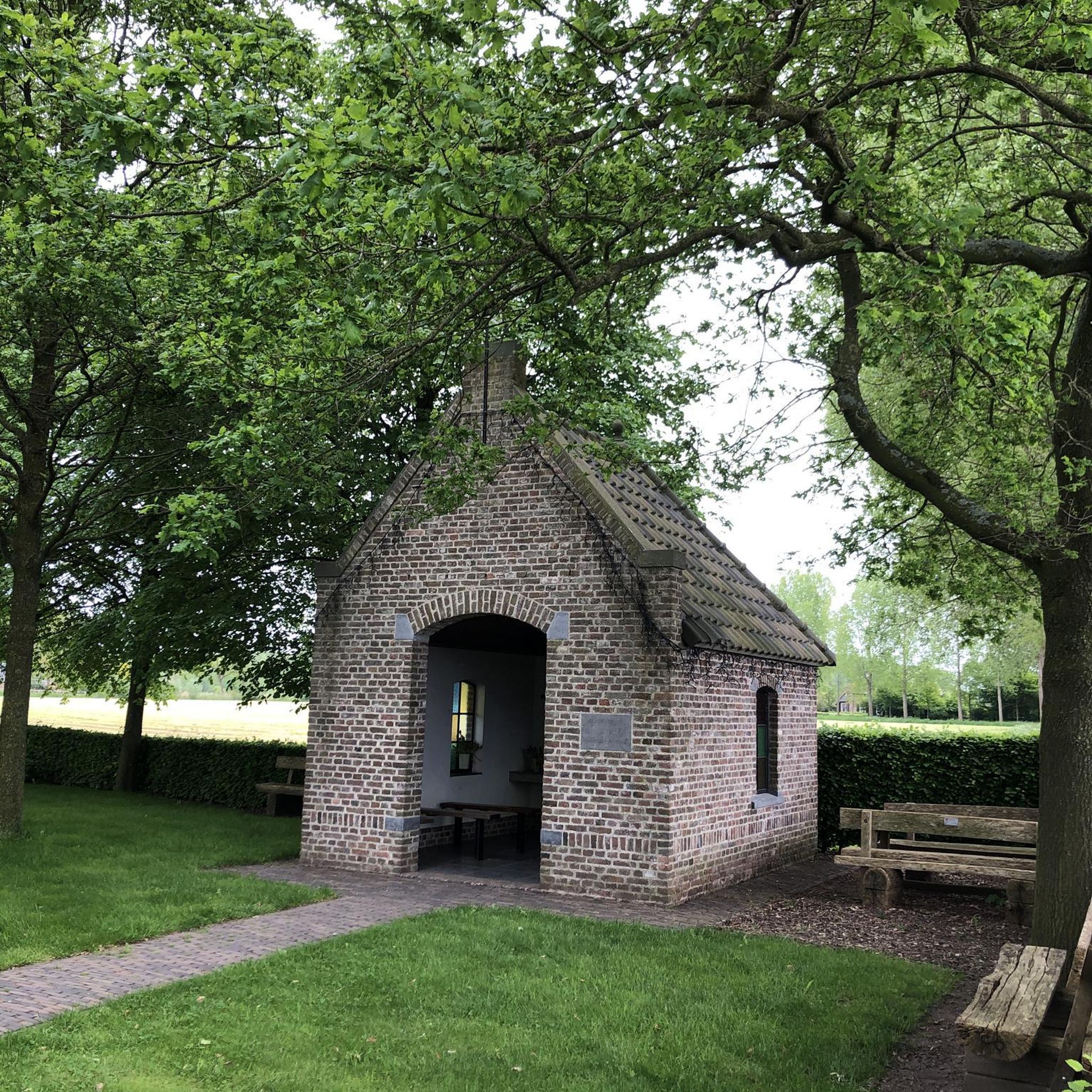
At this picnic area by the canal, you can relax and admire the landscape.
4
0
This is a beautifully built hydroelectric power station in Long and one of the oldest, having been built in 1902.
3
0

Frequently Asked Questions
What kind of terrain can I expect on the running routes around Bettencourt-Saint-Ouen?
The running routes in Bettencourt-Saint-Ouen offer varied terrain, with elevations ranging from 17 to 103 meters. You'll find a mix of mostly paved surfaces, especially along canal and river paths, as well as natural paths through gentle hills and nearby forests. This variety caters to different fitness levels and preferences.
Are there any easy or beginner-friendly jogging routes in the area?
Yes, the region offers several easier options. For example, the Marais des Cavins loops from Hangest-sur-Somme are described as easily accessible paths suitable for all fitness levels. While specific routes are not detailed in the guide, komoot lists 9 easy routes out of 123 total running trails, ensuring there are options for beginners.
Can I bring my dog on the running trails near Bettencourt-Saint-Ouen?
Many natural trails in France, especially those outside protected reserves, are generally dog-friendly, often requiring dogs to be on a leash. While specific rules for Bettencourt-Saint-Ouen are not detailed, the natural setting of the Somme department typically welcomes responsible dog owners. Always check local signage for any specific restrictions.
What are some scenic points or natural features I might encounter while jogging?
The routes often follow the Somme River and canals, offering pleasant waterside views. You might also pass by the Somme Valley and natural areas like the Forest of Vignacourt. Other points of interest include the Ailly-sur-Somme Lockhouse and the Long Hydroelectric Power Plant, which add historical and industrial interest to the landscape.
Are there any circular running routes available?
Yes, many of the popular running routes in the area are loops. For instance, the Picnic – Picnic Area by the Canal loop from Flixecourt and the Chemin de halage loop from Flixecourt are both circular routes, ideal for starting and ending at the same point.
What is the best time of year to go jogging in Bettencourt-Saint-Ouen?
The Hauts-de-France region generally offers pleasant conditions for outdoor activities during spring, summer, and early autumn. These seasons typically provide milder temperatures and less precipitation, making for more comfortable running. Winter can be colder and wetter, but routes with paved surfaces remain accessible.
Are there any family-friendly running options in the area?
For families, the easier routes like the Marais des Cavins loops from Hangest-sur-Somme are a good choice, as they feature easily accessible paths. The generally gentle terrain and paved sections of many canal-side routes also make them suitable for families looking for a less strenuous run or walk.
Where can I park when accessing the running trails?
While specific parking locations are not detailed for every route, many trails, especially those starting from villages like Flixecourt or Hangest-sur-Somme, typically have public parking available nearby. It's advisable to check the starting point of your chosen route on komoot for specific parking information.
What do other runners enjoy most about jogging in Bettencourt-Saint-Ouen?
The running routes in Bettencourt-Saint-Ouen are highly rated by the komoot community, with an average score of 4.4 stars from over 16 reviews. Runners often praise the tranquil canal paths, the varied natural scenery, and the options for different ability levels, from easy runs to more challenging routes.
Are there any cafes or places to get refreshments near the running routes?
Bettencourt-Saint-Ouen and nearby communes like Flixecourt and Hangest-sur-Somme are small villages. While specific cafes directly on the trails are unlikely, you can usually find local shops, bakeries, or small eateries within the villages themselves for refreshments before or after your run.
How long are the running routes around Bettencourt-Saint-Ouen?
The running routes vary in length. For example, the Picnic – Picnic Area by the Canal loop from Flixecourt is about 9.7 km (6.0 miles), while the Picnic Area by the Canal – Picnic loop from Flixecourt extends to 13.8 km (8.6 miles). There are also shorter options like the 3.98 km Marais des Cavins loop, providing choices for different distances.
Can I access these running routes using public transport?
Bettencourt-Saint-Ouen is a commune in a rural area, so public transport options might be limited compared to larger cities. While specific bus routes or train stations directly serving trailheads are not detailed, it's recommended to check local public transport schedules for connections to Bettencourt-Saint-Ouen or nearby towns like Flixecourt, which serve as common starting points for routes.
Most popular routes around Bettencourt-Saint-Ouen
Most popular attractions around Bettencourt-Saint-Ouen

Get inspired with the komoot mobile app


Explore more
Browse the best Running Trails & Routes in other regions.
