The best running trails around Mathod
4.6
(49)
5,248
runners
253
runs
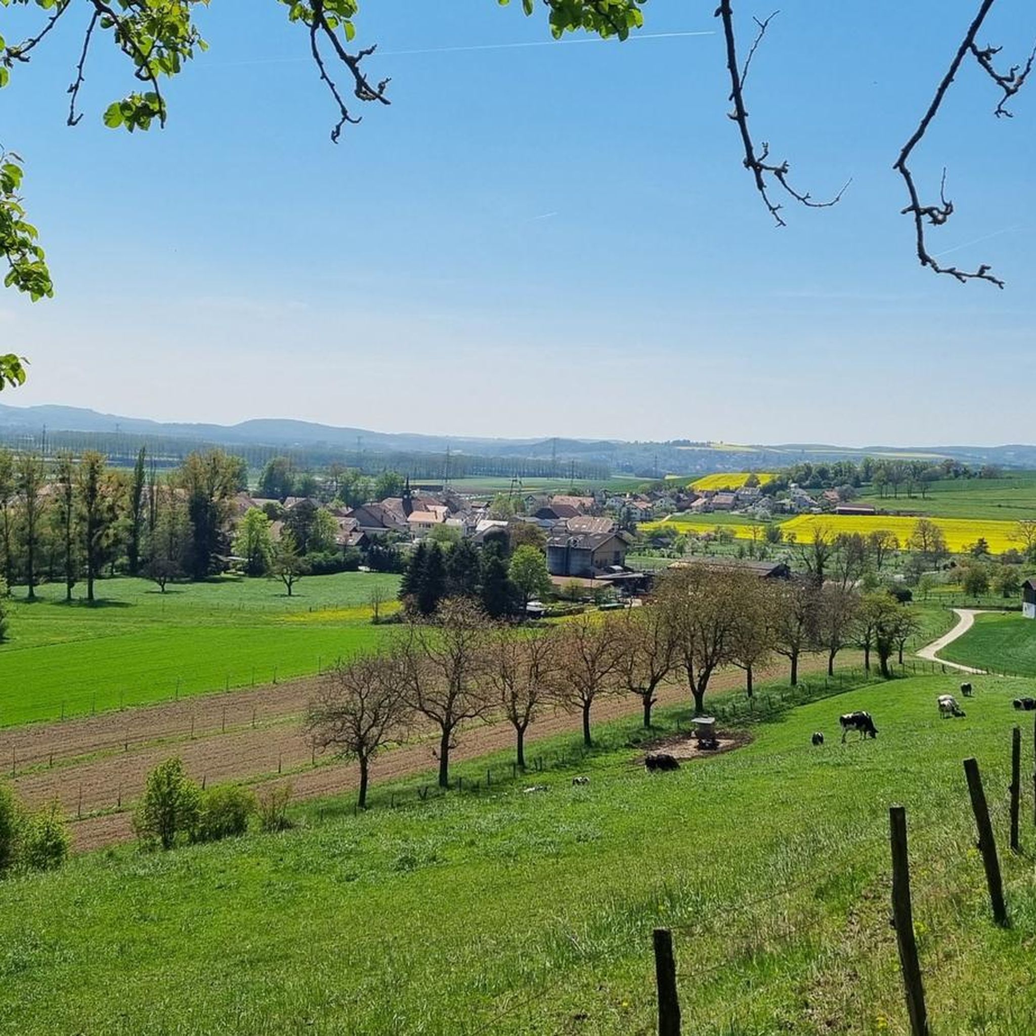
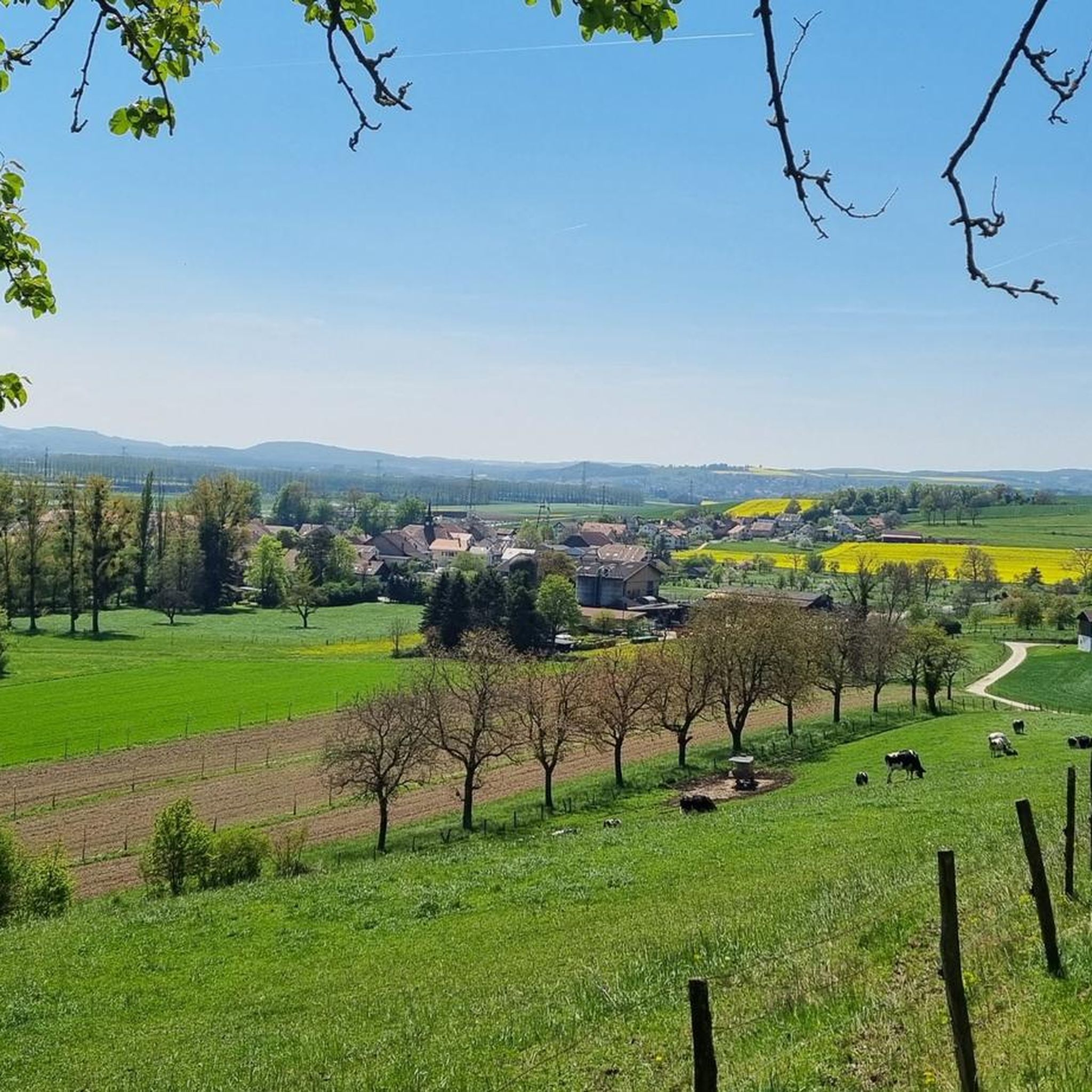
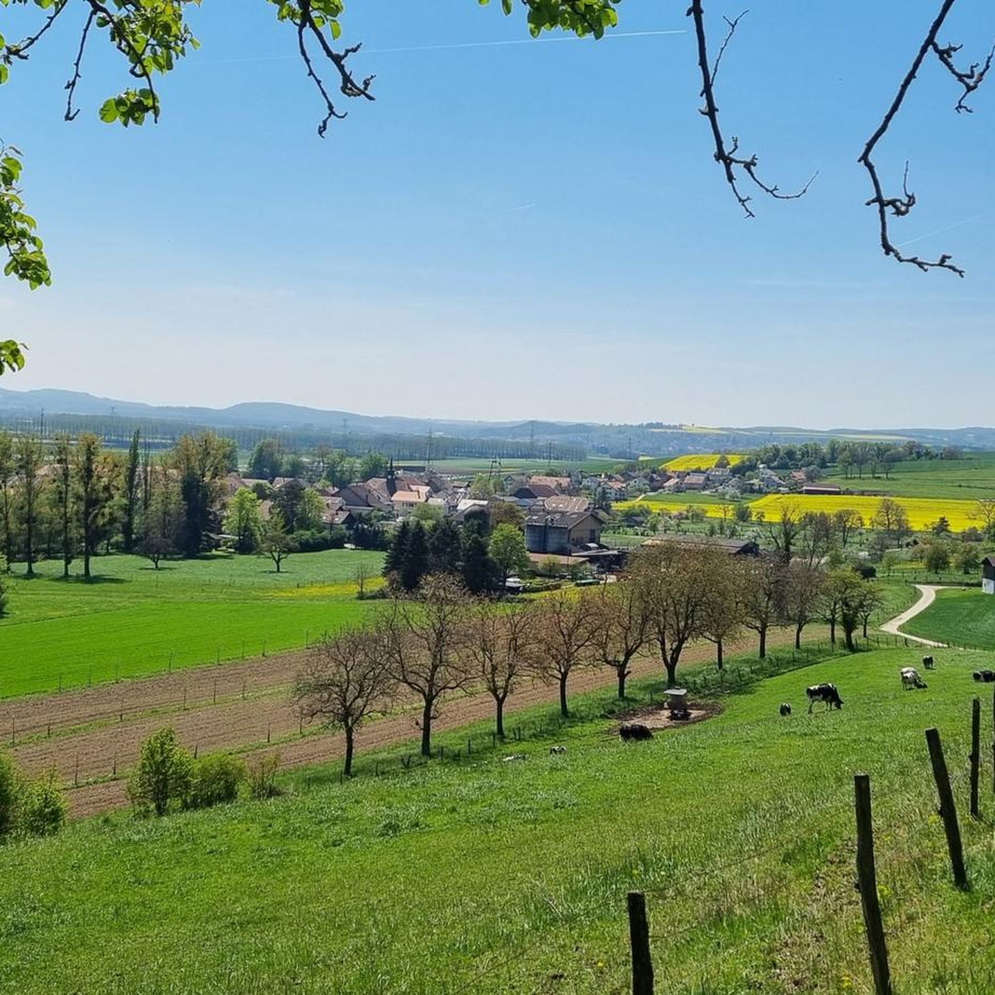
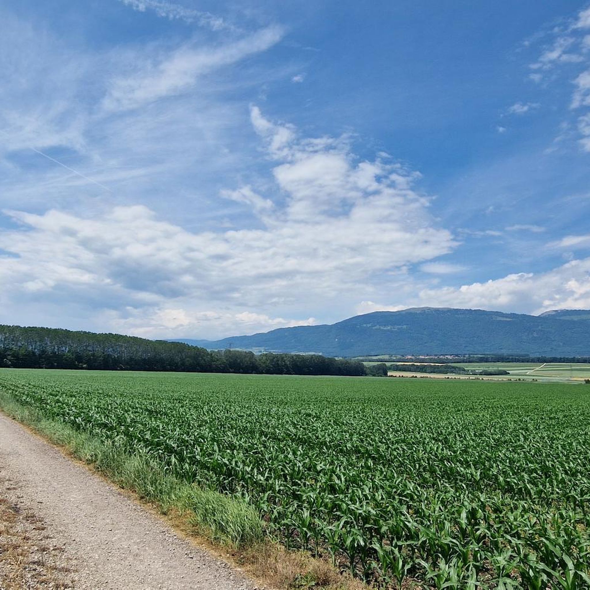
Jogging around Mathod offers routes through the varied terrain of the Jura Vaudois Natural Park. The region is characterized by its proximity to the Jura mountains, featuring significant elevation changes and forested landscapes. Running trails often traverse hills and offer views of the surrounding natural environment. The area provides a network of paths suitable for those seeking challenging runs with considerable climbs.
Best jogging routes around Mathod
- The most popular jogging route is Jura Swiss Trail : Le Cabri -…
Last updated: August 6, 2026
5.0
(3)
322
runners
19.3km
03:12
1,180m
1,180m
Hard run. Very good fitness required. Sure-footedness, sturdy shoes and alpine experience required.
172
runners
33.5km
05:20
1,840m
1,840m
Hard run. Very good fitness required. Sure-footedness, sturdy shoes and alpine experience required.

Sign up for free
5.0
(1)
111
runners
12.2km
01:58
690m
690m
Hard run. Very good fitness required. Sure-footedness, sturdy shoes and alpine experience required.
5.0
(1)
83
runners
14.2km
02:37
960m
960m
Hard run. Very good fitness required. Sure-footedness, sturdy shoes and alpine experience required.
3.0
(1)
40
runners
11.2km
01:41
630m
630m
Hard run. Very good fitness required. Mostly accessible paths. Some sure footedness required.
Get access to more routes and recommendations from other explorers.
Sign up for free
Already have an account?
Our route recommendations are based on thousands of hikes, rides, and runs completed by other people on komoot.
Start today with a free account
Your next adventure awaits.
Login or Signup

Tips from the Community

The gorges are currently closed until 26.06.26
0
0

Very friendly staff, good food, it's always full at 12 o'clock.
1
0

The hiking trail through the Covatannaz Gorge is beautifully laid out and offers breathtaking views down into the Arnon River. More exposed sections are equipped with metal railings, making this easy hike suitable for families.
2
0
The hiking trail through the Covatannaz Gorge becomes very narrow here due to the terrain and leads directly along the high rock walls. Further down, or rather beside you, the Arnon stream rushes through the gorge. Over a distance of approximately three kilometers, it descends a difference in altitude of about 450 meters.
2
0


Large alpine restaurant with plenty of space, ideally located for a short or longer break
2
0
Small pass crossing. The road is narrow, so hikers have to be careful, as there was surprisingly heavy traffic during our hike on a Friday.
2
0

Frequently Asked Questions
How many running routes are available around Mathod?
Komoot offers a wide selection of running routes around Mathod, with over 270 trails to explore. These routes traverse the varied terrain of the Jura Vaudois Natural Park, providing options for different skill levels.
What types of terrain can I expect on jogging trails near Mathod?
Jogging routes around Mathod are characterized by the region's proximity to the Jura mountains. You can expect significant elevation changes, forested landscapes, and paths that often traverse hills. The area features a mix of forested hills and open pastures, offering mountain views.
Are there any easy or beginner-friendly running routes in Mathod?
Yes, while many routes in the Mathod area feature significant elevation, there are approximately 16 easy running routes available. These provide a gentler introduction to the region's beautiful landscapes.
What do other runners say about the trails in Mathod?
The running routes in Mathod are highly rated by the komoot community, holding an average score of 4.5 stars from over 39 reviews. More than 5,000 runners have used komoot to explore Mathod's varied terrain, often praising the challenging ascents and scenic views.
Are there any circular running routes around Mathod?
Yes, many of the running routes around Mathod are designed as loops. For example, the difficult Le Suchet – Grange-Neuve Chalet loop from Baulmes offers expansive views, and the Puits de Jacob – Mont de Baulmes loop from Baulmes leads through hilly terrain.
What natural landmarks or scenic viewpoints can I find along the running routes?
The Mathod area, being close to the Jura mountains, offers several natural highlights. You can find mountain peaks like Chasseron Summit and Summit Cross at Aiguilles de Baulmes. Scenic viewpoints include Petites Roches Ridge and Rocky Outcrop at Le Soliat, offering impressive vistas.
Are there any lakes or water features near the running trails in Mathod?
While the immediate running routes focus on mountain terrain, the broader region around Mathod includes lakes. Notable natural areas include the Creux de Terre Nature Reserve and Pro Natura. You can also find viewpoints like the View of Yverdon-les-Bains and Lake Neuchâtel in the vicinity.
Are the running trails around Mathod suitable for families?
The guide data indicates a variety of routes, including some easier options. While many trails feature significant elevation changes, families looking for less strenuous runs can explore the 16 easy routes available. It's advisable to check individual route details for suitability with children.
Can I bring my dog on the running trails in Mathod?
Generally, many outdoor trails in natural parks like the Jura Vaudois are dog-friendly, especially if dogs are kept on a leash. However, specific regulations can vary. It's always recommended to check local signage or the specific route details on komoot for any restrictions regarding dogs.
Is public transport available to access running routes in Mathod?
The guide data does not specifically detail public transport access for each route. However, for regions like the Jura Vaudois Natural Park, public transport options often connect to trailheads in larger villages or towns. We recommend checking local public transport schedules for connections to starting points like Baulmes, which is a common starting point for several routes.
Are there parking facilities near the trailheads in Mathod?
While specific parking information isn't provided for every trailhead, it is common for popular outdoor areas in Switzerland to have designated parking. For routes starting from villages like Baulmes, you can often find parking. We advise checking the komoot route details or local maps for specific parking locations.
What is the typical difficulty level of running routes in Mathod?
The running routes around Mathod tend to be quite challenging, with 86 routes classified as difficult and 174 as moderate. These often involve significant elevation changes due to the region's mountainous terrain. There are also 16 easy routes for those seeking less strenuous options.
Most popular attractions around Mathod

Get inspired with the komoot mobile app


Explore more
Browse the best Running Trails & Routes in other regions.
