The best mountain hikes around Grindelwald
5.0
(25)
299
hikers
18
hikes
Mountaineering routes around Grindelwald are set amidst the dramatic landscapes of the Bernese Oberland in the Swiss Alps, characterized by towering peaks like the Eiger, Mönch, and Jungfrau. The region features challenging alpine terrain, including the legendary Eiger North Face, along with glaciers, high mountain passes, and serene alpine lakes. This area offers a diverse range of mountaineering experiences, from demanding ascents to routes providing panoramic views of the surrounding 4,000-meter peaks. Its unique geology and elevation make it a…
Last updated: September 26, 2026
5.0
(5)
69
hikers
Hard mountaineering route. Very good fitness required. Sure-footedness, sturdy shoes and alpine experience required.
5.0
(2)
49
hikers
Hard mountaineering route. Very good fitness required. Sure-footedness, sturdy shoes and alpine experience required.

5.0
(3)
35
hikers
10.0km
03:48
480m
470m
Moderate mountaineering route. Good fitness required. Mostly accessible paths. Sure-footedness required.
5.0
(1)
29
hikers
8.97km
04:33
820m
830m
Moderate mountaineering route. Good fitness required. Mostly accessible paths. Sure-footedness required.
5.0
(3)
22
hikers
18.9km
07:12
1,270m
1,270m
Hard mountaineering route. Very good fitness required. Mostly accessible paths. Sure-footedness required.
Get access to more routes and recommendations from other explorers.
Already have an account?
Our route recommendations are based on thousands of hikes, rides, and runs completed by other people on komoot.
Start today with a free account
Your next adventure awaits.
Popular around Grindelwald

Hope 1000 – Bikepacking Switzerland in 11 stages
Via Alpina – The 15 stages of the Green Route

Discover Grindelwald with the Victorinox Huntsman
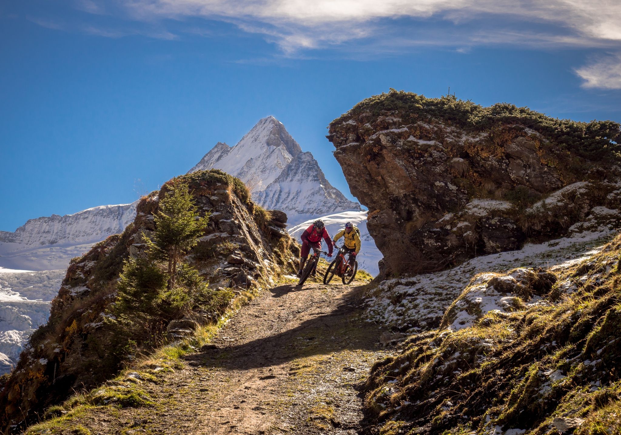
Trails with glacier views – eMTB Tours in Switzerland’s Jungfrau region
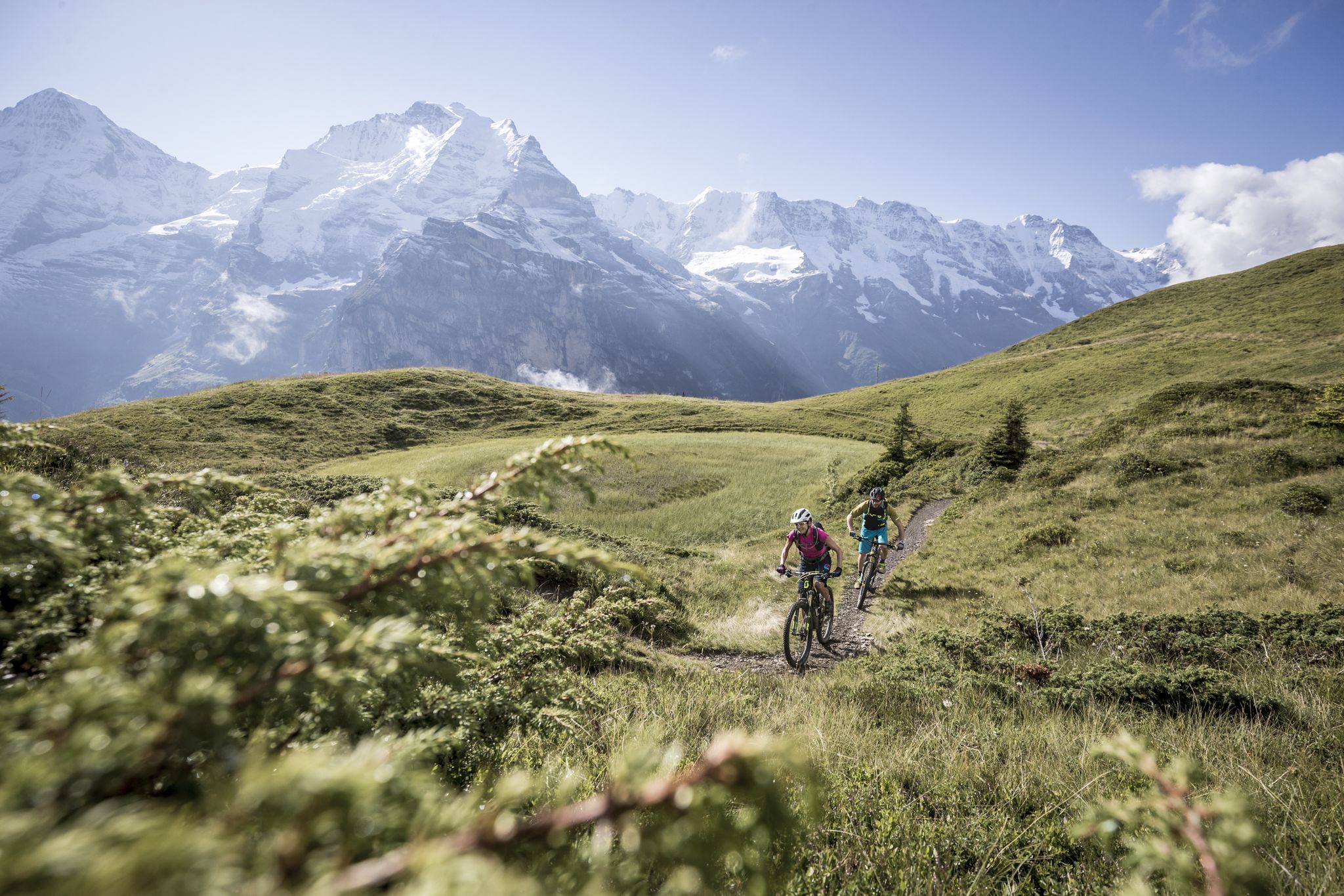
Magnificent mountains and MTB trails – Jungfrau Loop in 4 days
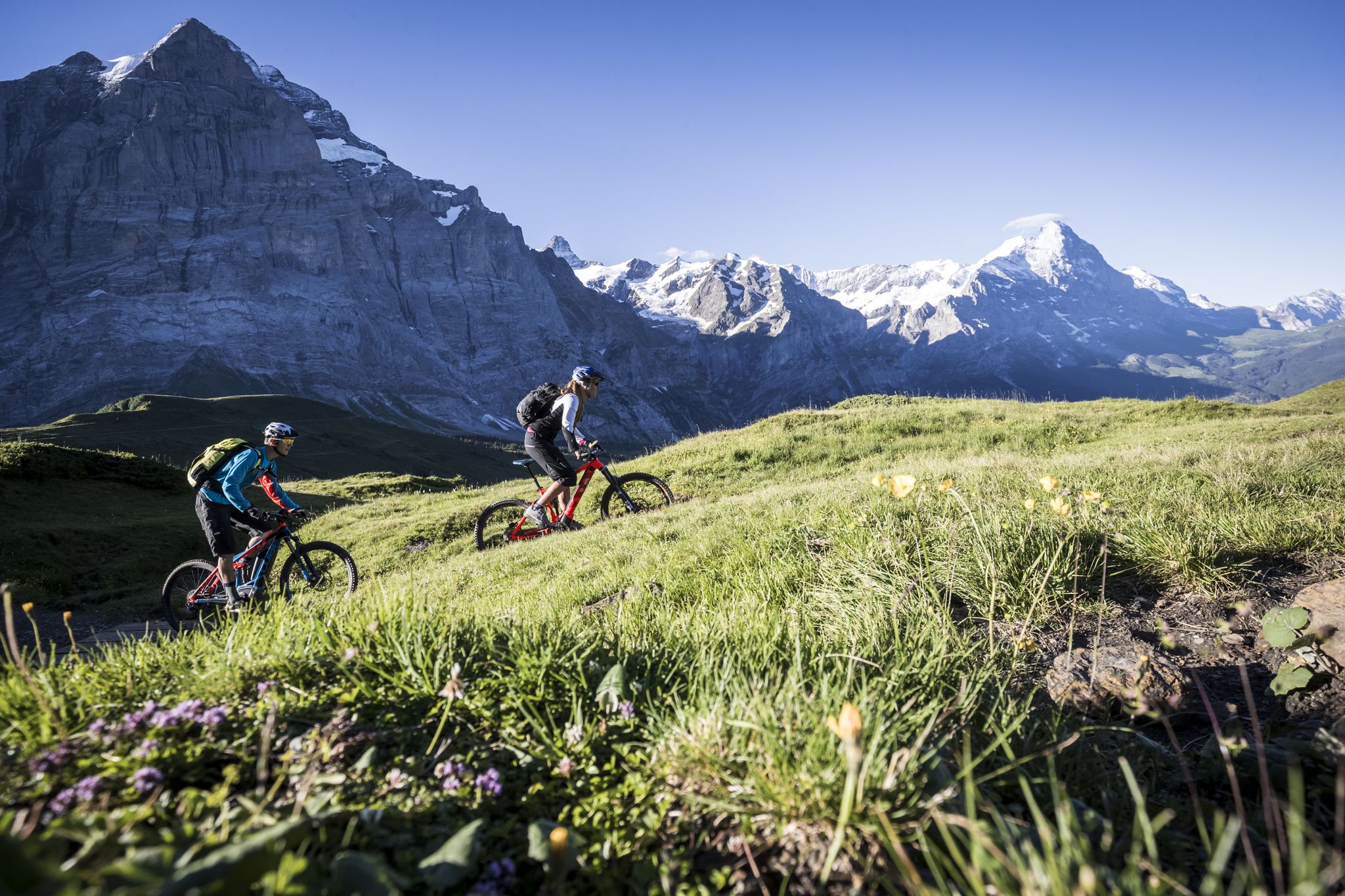
The Eiger e-MTB loop – from glaciers to green valleys in 3 days
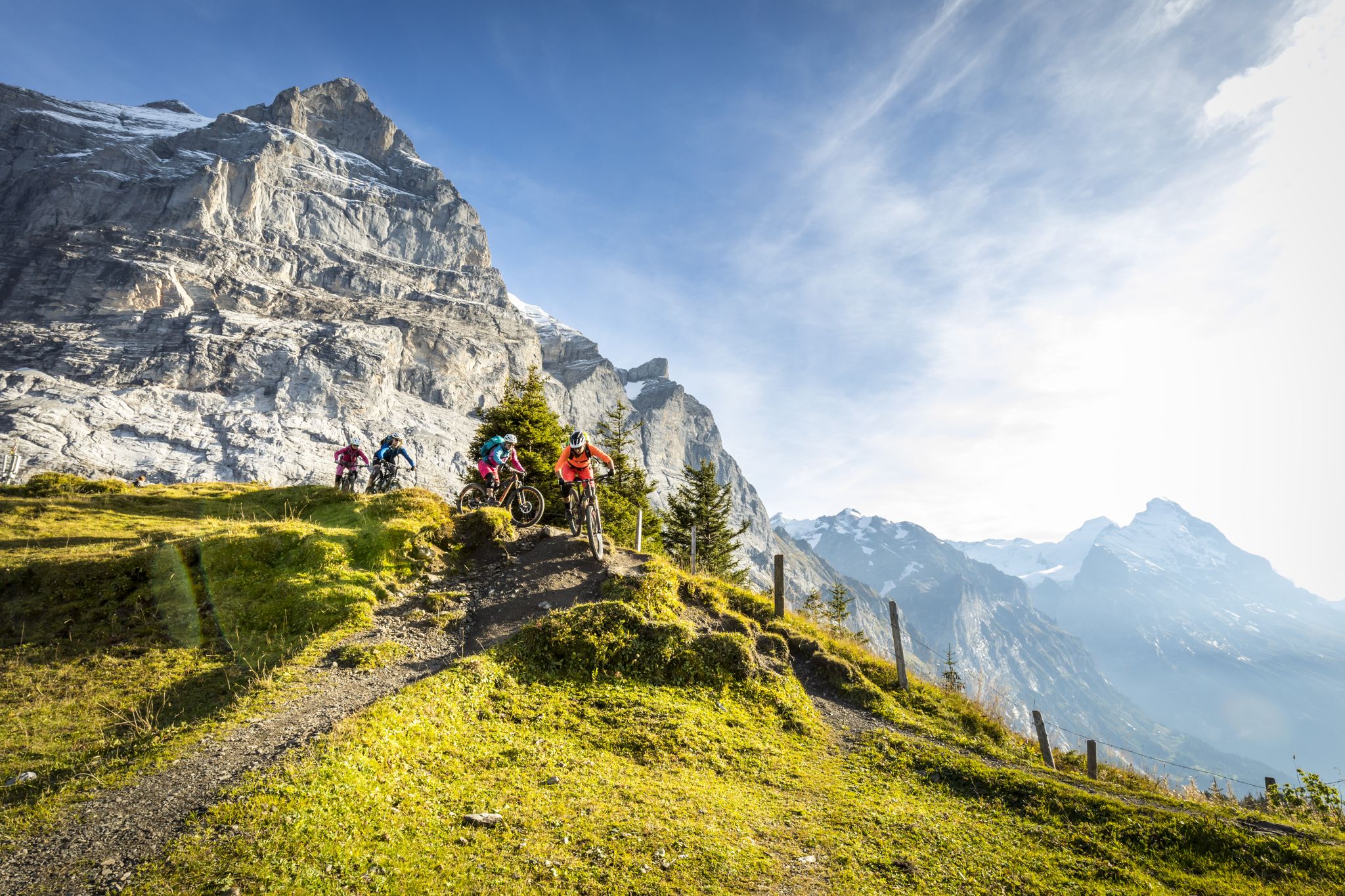
Grindelwald Tagestouren für MTB mit Panorama
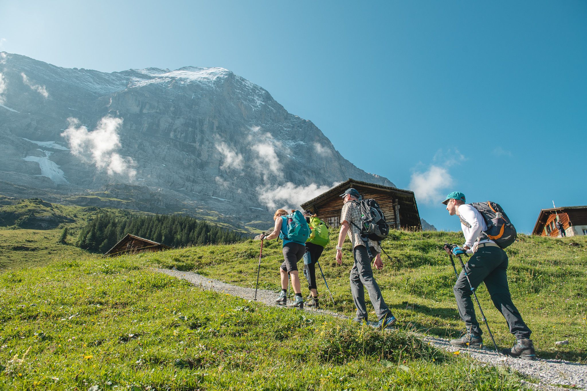
Summit happiness on the Via Alpina - Pioneers in Switzerland
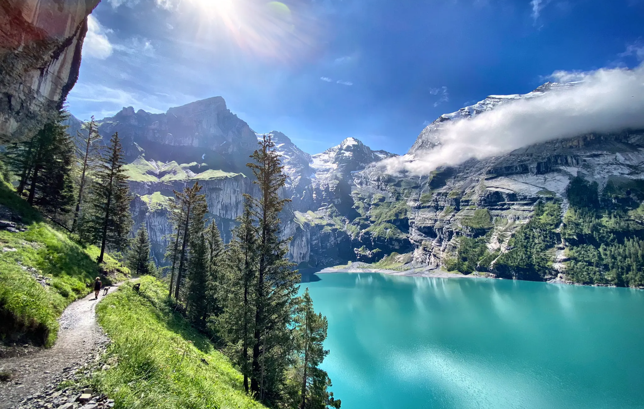
Berner Oberlandtraverse – Zwischen Fels, Firn und Fluh
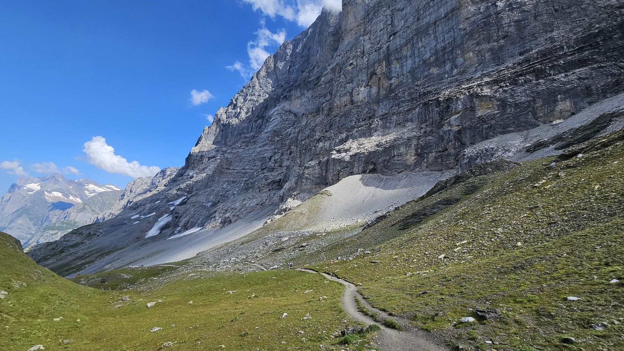
Eiger Ultra Trail 101
Other adventures around Grindelwald


Tips from the Community

Wonderful 360° view of Lungern-, Sarnersee and, in clear weather, up to Vierwaldstättersee. The last corner of Thunersee can also be seen. Chasseral, Finsteraarhorn, Eiger, Mönch, Jungfrau, Silberhorn, Grosse Scheidegg are just some of the wonderful landmarks that can be admired. In damp or wet weather, it is not advisable due to the long and steep ascent and descent via the hiking trail.
0
0

The Bachalpsee above Grindelwald is one of the most beautiful mountain lakes in Switzerland. In good conditions, the clear water reflects the peaks of the Schreckhorn, Finsteraarhorn, and Wetterhorn. Thanks to the easy hike from the First mountain station, the lake is a popular destination. The impressive alpine scenery delights hikers, photographers, and nature lovers alike.
5
0

Probably one of the most visited peaks in Switzerland by hikers. Every summer, entire tribes migrate from the Schynige Platte to the Grindelwald - First mountain station, crossing the Faulhorn summit. Built in 1832 on its southern slope, the hotel and its outbuildings have seen sunrise lovers pass by every year. The summit offers a relatively unobstructed view. It has a grassy southern flank as well as a steep and rocky northern slope and overall presents the image of a rather monotonous mountain.
0
0

The SAC Glecksteinhütte is located above Grindelwald, on a green terrace with breathtaking views of the valley and the surrounding mountains. It is the ideal refuge for those seeking adventure and relaxation in the mountains, with simple rooms, a cozy dining room and a sunny terrace. It is a paradise for wildlife lovers, families, mountaineers and paragliders. The kitchen offers regional dishes prepared with local ingredients. It is open from June to October, but for the winter period there is only an emergency room with limited beds. Reservations are required. Info: https://www.gleckstein.ch/index.php
3
1

The view from the 2,928 meter high Schwarzorn is magnificent. It's worth the effort!
1
0
From here you can continue and reach the summit of the Schwarzhorn. The via ferrata also starts here.
2
0
The old cabin was located here. The view is great!
2
0
...high above Grindelwald, the Gleckstein Hut sits on a green ledge on the Wetterhorn. Breathtaking views are guaranteed! https://www.gleckstein.ch/index.php/de/
0
0
Frequently Asked Questions
What is the overall difficulty level of mountaineering routes around Grindelwald?
Mountaineering routes in Grindelwald range from moderate to difficult. The region is known for its challenging alpine terrain, including the legendary Eiger North Face. Out of the 20 routes available, 13 are classified as difficult, while 7 are moderate, offering options for various skill levels.
Are there any circular mountaineering routes in Grindelwald?
Yes, several mountaineering routes in Grindelwald are circular. For example, the Oberer Grindelwald Glacier – Gleckstein Hut loop from Interlaken-Oberhasli administrative district is a challenging 7-mile loop, and the Distelboden – View from Schwarzhorn Summit loop from Berggasthaus First offers expansive views on a 5.6-mile loop.
What kind of natural features can I expect to see along the mountaineering routes in Grindelwald?
Grindelwald's mountaineering routes are set amidst dramatic landscapes featuring towering peaks like the Eiger, Mönch, and Jungfrau. You'll encounter glacial landscapes, high mountain passes, and serene alpine lakes. The region is also home to the thrilling Grindelwald Glacier Gorge with its 300-meter-high rock walls and flowing glacial water.
What do other mountaineers enjoy most about the routes in Grindelwald?
The mountaineering routes in Grindelwald are highly rated by the komoot community, with an average score of 4.96 stars from over 25 reviews. Reviewers often praise the unparalleled panoramic views of iconic peaks like the Eiger, Mönch, and Jungfrau, as well as the diverse and challenging alpine terrain.
Are there any family-friendly mountaineering options in Grindelwald?
While many routes are challenging, some offer more accessible high-altitude experiences. The First Cliff Walk by Tissot – Bachalpsee loop from Berggasthaus First is a moderate 6.3-mile trail leading through alpine meadows and past the tranquil Bachalpsee, which can be a good option for families with some hiking experience. The area also has cable cars and railways that make spectacular natural features more reachable.
What are some notable landmarks or points of interest near the mountaineering routes?
Beyond the routes themselves, Grindelwald is surrounded by significant landmarks. You can explore the Grosse Scheidegg mountain pass, known for its peaceful, car-free environment and striking views. The Eiger Trail winds along the base of the Eiger, offering unique perspectives of the legendary peak. The Kleine Scheidegg is another prominent mountain pass with excellent views.
How long do mountaineering routes in Grindelwald typically take to complete?
The duration of mountaineering routes varies significantly based on difficulty and distance. For instance, the challenging Oberer Grindelwald Glacier – Gleckstein Hut loop typically takes about 7 hours, while the moderate First Cliff Walk by Tissot – Bachalpsee loop can be completed in approximately 3 hours 50 minutes.
Is public transport available to access mountaineering trailheads in Grindelwald?
Yes, Grindelwald is well-served by public transport, including cable cars and railways, which provide access to many trailheads and mountain areas. The Grindelwald-First cableway, the Männlichen gondola, and the Eiger Express to Eigergletscher are examples of transport options that make these spectacular routes reachable.
Are there any routes that offer views of the Bachalpsee lake?
Yes, the tranquil First Cliff Walk by Tissot – Bachalpsee loop from Berggasthaus First leads directly past Lake Bachalpsee, offering serene views where the surrounding mountains are often reflected on clear days. Another route, Bachalpsee – Bort Middle Station loop from Grindelwald, also features the lake.
What is the best time of year for mountaineering in Grindelwald?
The best time for mountaineering in Grindelwald is typically during the summer months, from late spring to early autumn (June to September), when the trails are generally free of snow and the weather is more stable. However, conditions can change rapidly in the mountains, so it's always essential to check local forecasts and trail conditions before heading out.
Are there any routes that provide access to mountain huts?
Yes, some mountaineering routes in Grindelwald offer access to mountain huts. The challenging Oberer Grindelwald Glacier – Gleckstein Hut loop from Interlaken-Oberhasli administrative district, for example, provides access to the historic Gleckstein Hut, which can be a welcome stop for mountaineers.
Can I find routes with significant elevation gain for a challenging workout?
Absolutely. Grindelwald is known for its challenging ascents. The Bachalpsee – Bort Middle Station loop from Grindelwald, for instance, features an elevation gain of over 1350 meters, providing a substantial challenge for experienced mountaineers.
Most popular routes around Grindelwald
Most popular attractions around Grindelwald

Get inspired with the komoot mobile app


Explore more
Browse the best Mountain Hikes & Routes in other regions.
