The best mountain hikes around Bönigen
4.9
(75)
640
hikers
37
hikes
Mountaineering around Bönigen offers access to the diverse landscapes of the Bernese Oberland. The region is characterized by its proximity to alpine peaks, deep valleys, and forested slopes, providing varied terrain for mountaineering. Routes often feature significant elevation changes, leading to high-altitude viewpoints and mountain huts. The area's geology includes rugged rock formations and lush alpine meadows, making it a compelling destination for mountaineers.
Best mountaineering routes around Bönigen
- The most popular mountaineering route is Lobhornhütte – Lobhörner loop from…
Last updated: September 26, 2026
4.5
(4)
34
hikers
12.7km
06:11
1,000m
1,000m
Hard mountaineering route. Very good fitness required. Mostly accessible paths. Sure-footedness required.
5.0
(2)
27
hikers
17.0km
07:16
820m
810m
Hard mountaineering route. Very good fitness required. Sure-footedness, sturdy shoes and alpine experience required.

23
hikers
10.3km
04:59
860m
860m
Moderate mountaineering route. Good fitness required. Mostly accessible paths. Sure-footedness required.
29
hikers
9.91km
05:15
910m
910m
Hard mountaineering route. Very good fitness required. Mostly accessible paths. Sure-footedness required.
4.5
(2)
18
hikers
8.96km
03:53
710m
710m
Moderate mountaineering route. Good fitness required. Mostly accessible paths. Sure-footedness required.
Get access to more routes and recommendations from other explorers.
Already have an account?
Our route recommendations are based on thousands of hikes, rides, and runs completed by other people on komoot.

Tips from the Community

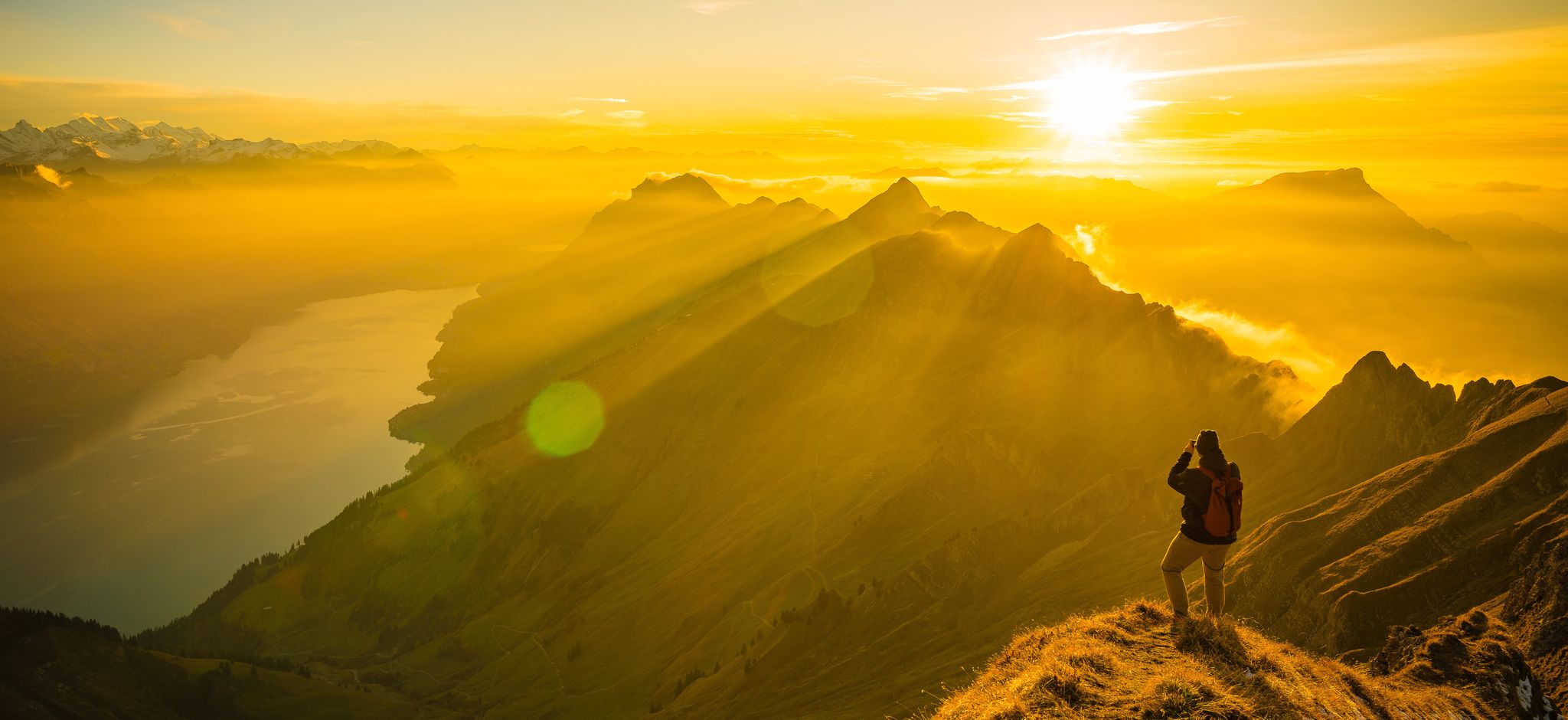
ACHTUNG! Hier handelt es sich nicht ums Augstmatthorn, sondern um den Hardergrad mit Blick auf den Suggiturm!
1
0

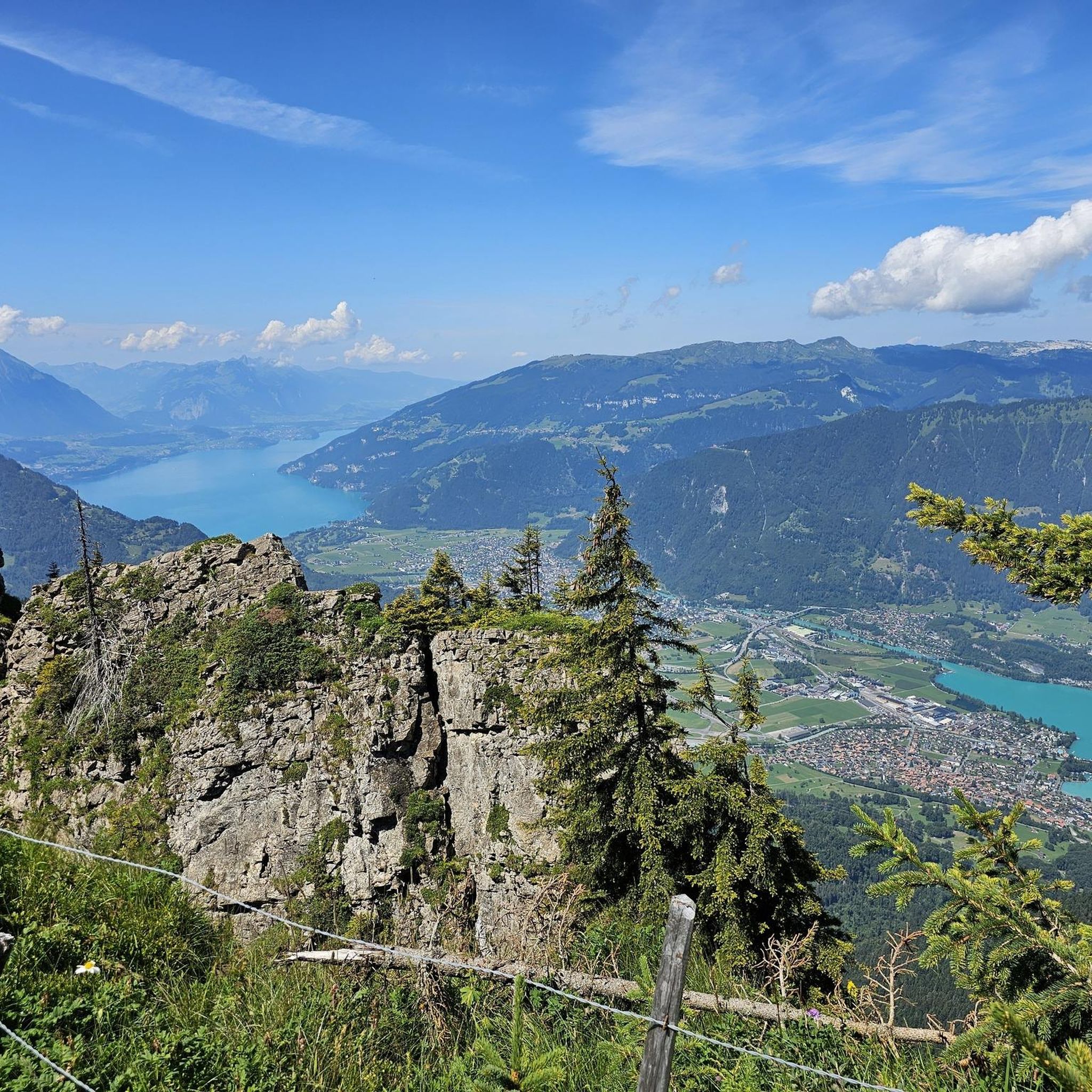
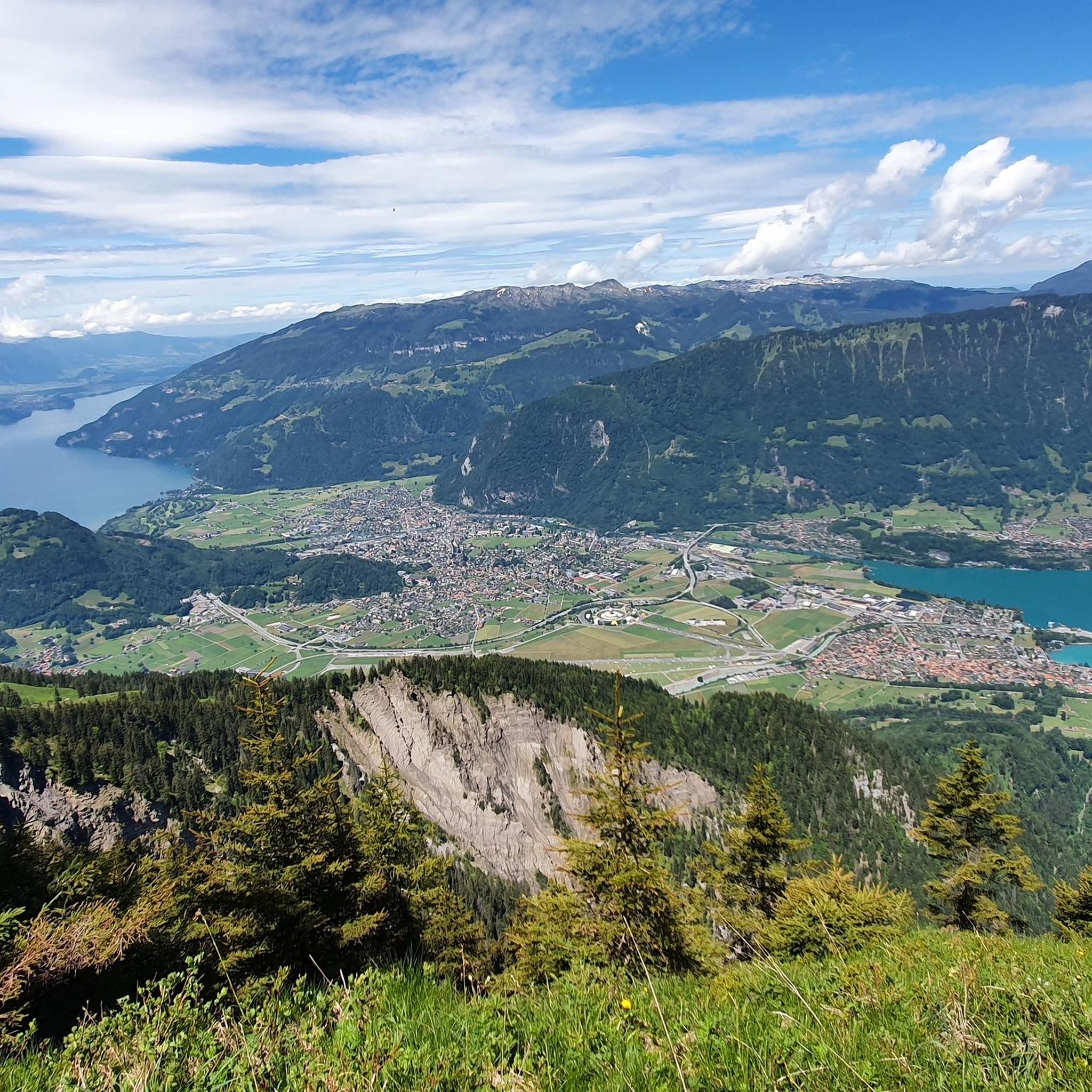
In Interlaken, you should definitely see the Harder Kulm as the local mountain with a viewing platform. From there you can hike the beautiful Hardergrat.
8
0

For those who do not want or cannot walk up here, the train ticket costs 44 CHF per person for a round trip. But it is worth it. In good weather, the view is simply phenomenal. The restaurant has a wide and tasty offer and provides very good service. The viewing platform rounds off the whole experience. The trip and the stay will definitely remain an unforgettable experience.
1
0

Super view of the big Lobhörner
0
0


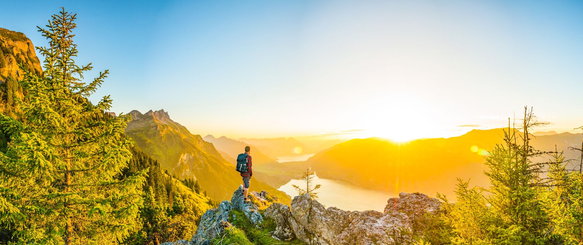
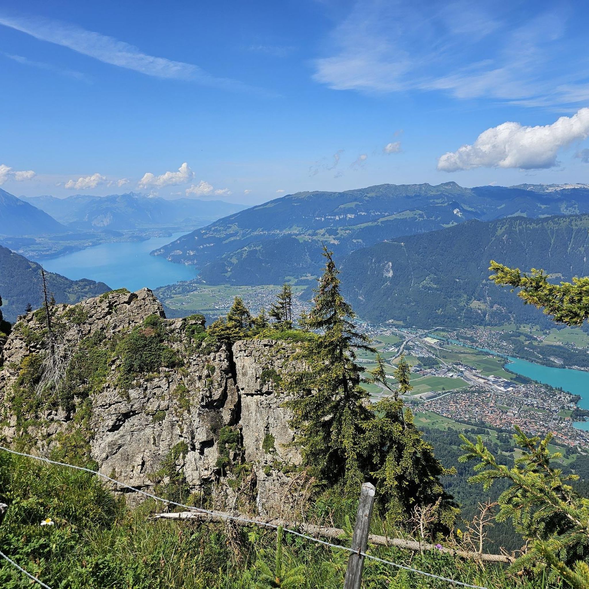
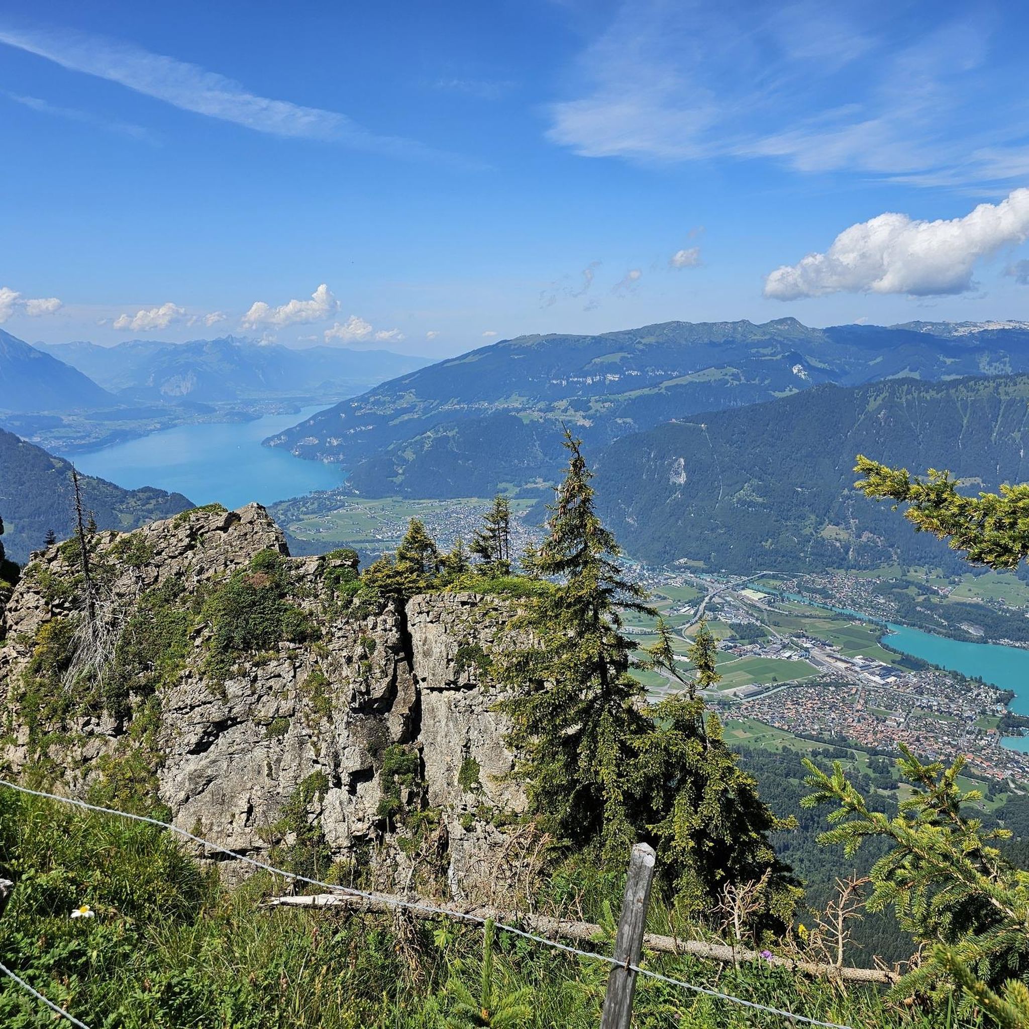
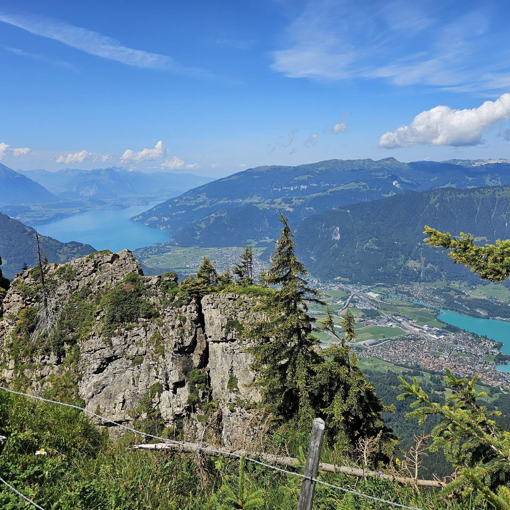
Great views of Lake Brienz and the Bernese Alps from the paths to the Brienzer Grat ridge.
0
0
A bit technical in autumn, at least doable for me in early November without special equipment.
0
0
Frequently Asked Questions
How many mountaineering routes are available around Bönigen?
There are over 40 mountaineering routes around Bönigen, offering a wide range of experiences in the Bernese Oberland. The majority of these routes are classified as moderate or difficult, catering to those with some mountaineering experience.
Are there any easy mountaineering routes for beginners in Bönigen?
While there are no routes specifically classified as 'easy' for mountaineering around Bönigen, there are 14 moderate routes that might be suitable for beginners with good physical condition and some prior hiking experience. One such option is the Sulsbach Bridge – Lobhornhütte loop from Gündlischwand, which is a moderate 6.4-mile (10.3 km) trail.
What kind of views can I expect on mountaineering routes near Bönigen?
Mountaineering routes around Bönigen are renowned for their expansive views, often overlooking alpine peaks, deep valleys, and the lakes of the Bernese Oberland. Many trails lead to high-altitude viewpoints. For example, the View from Suggiture – Augstmatthorn Summit loop from Interlaken offers panoramic vistas from prominent summits.
Are there any circular mountaineering routes in the Bönigen area?
Yes, many mountaineering routes around Bönigen are designed as loops, allowing you to start and finish at the same point. A popular example is the Lobhornhütte – Lobhörner loop from Gündlischwand, a challenging 7.9-mile (12.7 km) trail.
How long do mountaineering routes near Bönigen typically take to complete?
The duration of mountaineering routes around Bönigen varies significantly based on distance, elevation gain, and difficulty. Moderate routes, such as the Sulsbach Bridge – Lobhornhütte loop, can take around 5 hours. More difficult and longer routes, like the Lobhornhütte – Lobhörner loop, often require over 6 hours to complete.
What are some interesting natural attractions to see along the mountaineering routes?
The region around Bönigen is rich in natural beauty. You might encounter stunning lakes like Bachalpsee or Hinterburgseeli. There are also impressive waterfalls such as Staubbach Falls and Giessbach Falls, which can be seen from or near some trails.
Are there any mountaineering routes suitable for families with children?
Given that most mountaineering routes around Bönigen are moderate to difficult, they are generally best suited for families with older children who have significant hiking experience and are accustomed to considerable elevation changes. There are no easy routes specifically designed for young children. Always assess the difficulty and duration carefully before embarking on a route with family.
Can I bring my dog on mountaineering routes near Bönigen?
Generally, dogs are permitted on many trails in the Bernese Oberland, but it's always advisable to keep them on a leash, especially in alpine meadows where livestock may be grazing, and to protect local wildlife. Ensure your dog is fit enough for the strenuous nature of these routes, which often involve significant elevation gain and rocky terrain.
What is the best season for mountaineering in Bönigen?
The best season for mountaineering around Bönigen is typically from late spring to early autumn (June to September), when the weather is more stable, and trails are generally free of snow. During this period, alpine meadows are lush, and mountain huts are usually open. Always check local weather conditions and trail status before heading out, as conditions can change rapidly in the mountains.
What do other mountaineers enjoy most about the routes in Bönigen?
The mountaineering routes around Bönigen are highly rated by the komoot community, with an average score of 4.9 stars from over 60 reviews. Mountaineers often praise the challenging yet rewarding nature of the trails, the stunning panoramic views of the Bernese Oberland, and the opportunity to experience high alpine terrain and visit traditional mountain huts like the Lobhornhütte.
Are there any advanced or particularly challenging mountaineering routes?
Yes, Bönigen is an excellent base for advanced mountaineering, with 27 routes classified as difficult. These routes often feature significant elevation gains and lead through rugged high alpine terrain. An example of a challenging route is the Sulsbach Bridge – Lobhörner loop from Gündlischwand, which involves over 900 meters of ascent.
Are there any routes that include a mountain hut for a break or overnight stay?
Yes, some routes incorporate mountain huts, providing opportunities for a break, refreshments, or even an overnight stay. The Sulsbach Bridge – Lobhornhütte loop from Gündlischwand, for instance, leads towards the Lobhornhütte, a classic alpine hut experience.
Most popular routes around Bönigen
Most popular attractions around Bönigen

Get inspired with the komoot mobile app


Explore more
Browse the best Mountain Hikes & Routes in other regions.
