The best walks and hikes around Chaliers
4.4
(114)
512
hikers
58
hikes
Hiking trails around Chaliers traverse a landscape characterized by rolling hills, river valleys, and agricultural areas in the Cantal region of France. The terrain often includes paths through woodlands, open fields, and alongside water features such as Laval Pond. Elevations vary, offering routes with moderate climbs and descents. The region features a mix of natural scenery and historical landmarks.
Best hiking trails around Chaliers
- The most popular hiking route is The Garabit viaduct - loop starting from Chaliers, a…
Last updated: July 22, 2026
4.3
(15)
42
hikers
16.7km
04:42
340m
340m
Moderate hike. Good fitness required. Mostly accessible paths. Sure-footedness required.
4.6
(10)
53
hikers
10.5km
03:03
280m
280m
Moderate hike. Good fitness required. Easily-accessible paths. Suitable for all skill levels.

Sign up for free
4.4
(5)
15
hikers
11.3km
03:09
210m
210m
Moderate hike. Good fitness required. Easily-accessible paths. Suitable for all skill levels.
4.6
(7)
17
hikers
Moderate hike. Good fitness required. Easily-accessible paths. Suitable for all skill levels.
4
hikers
6.51km
01:52
160m
160m
Easy hike. Great for any fitness level. Easily-accessible paths. Suitable for all skill levels.
Get access to more routes and recommendations from other explorers.
Sign up for free
Already have an account?
Our route recommendations are based on thousands of hikes, rides, and runs completed by other people on komoot.
Start today with a free account
Your next adventure awaits.
Login or Signup
Tips from the Community


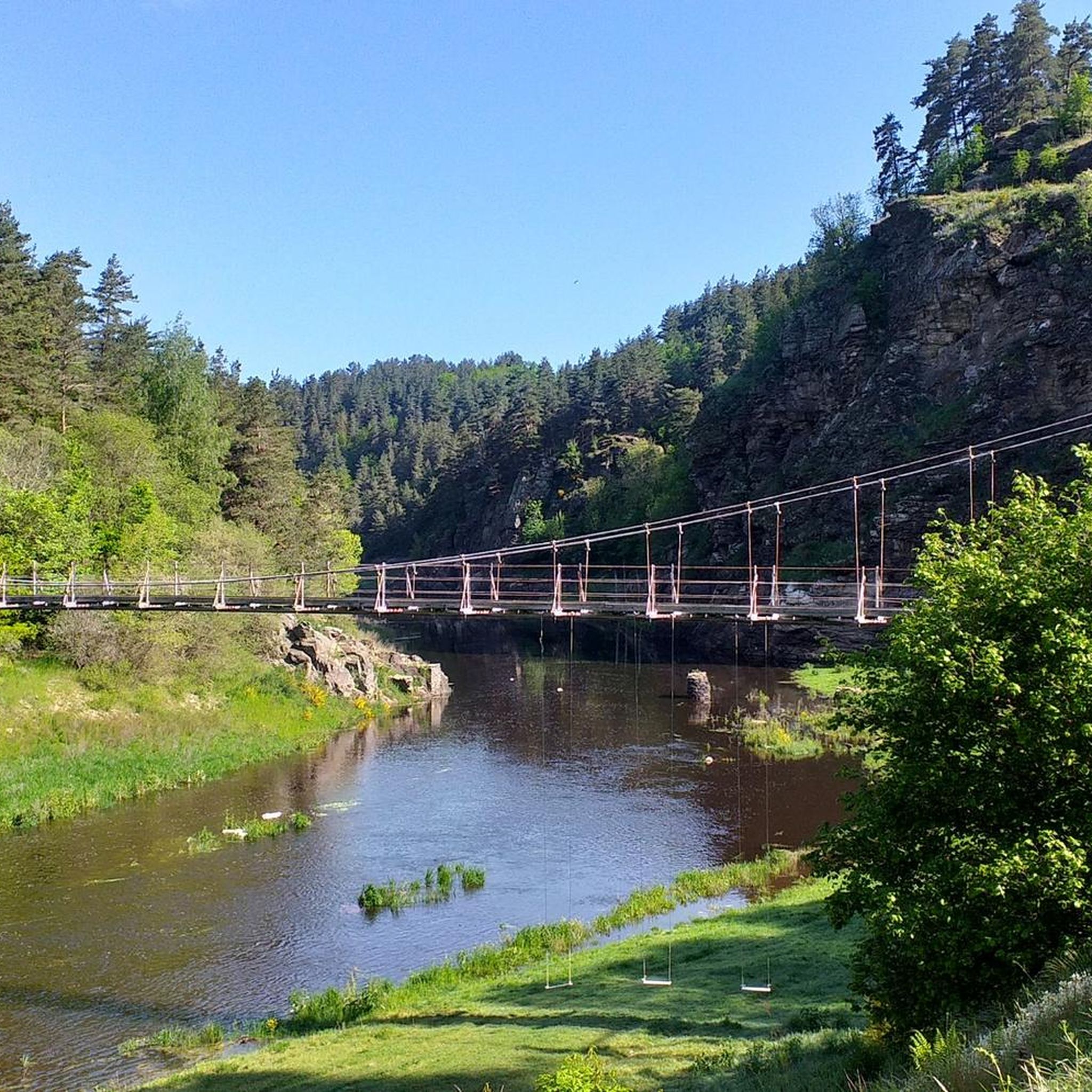
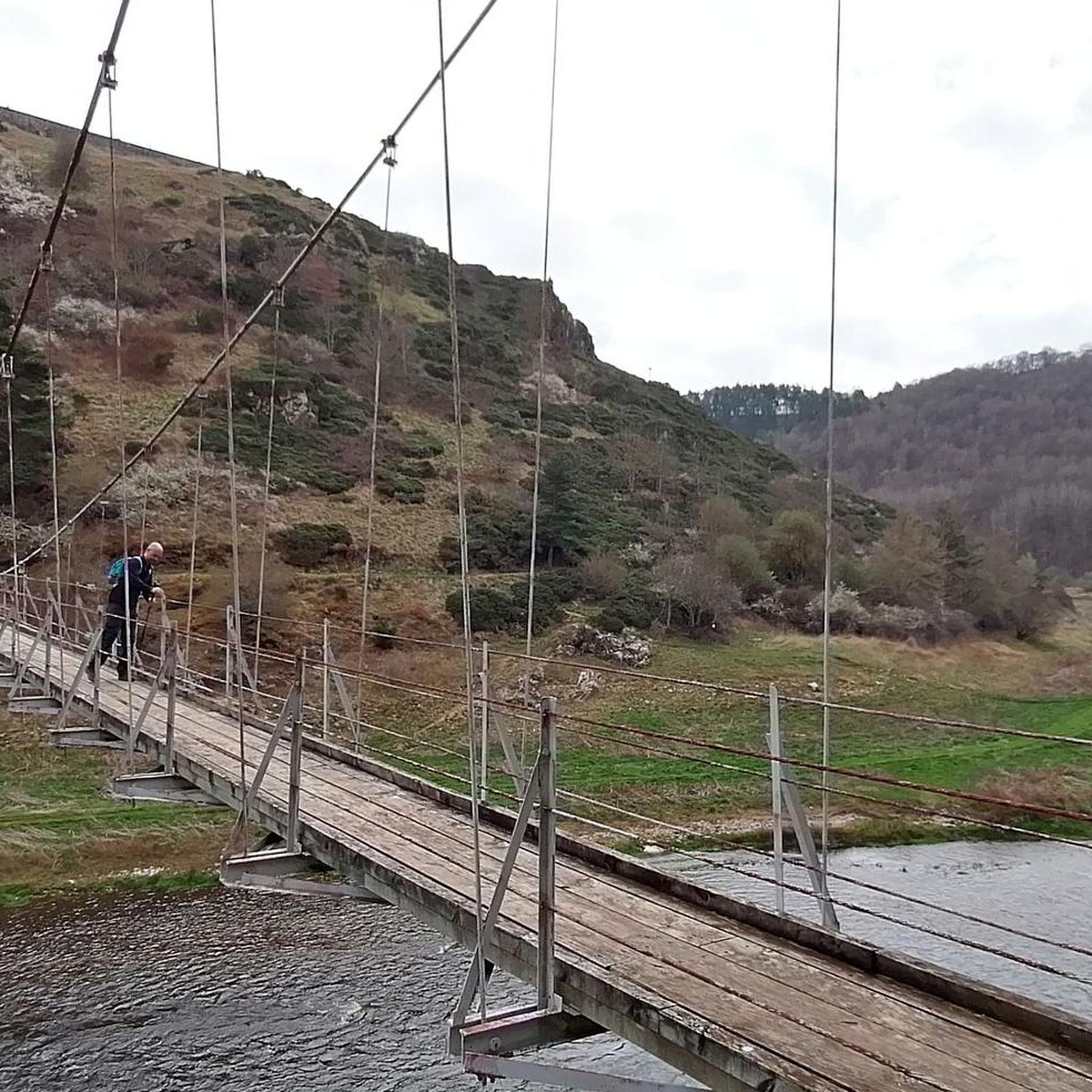
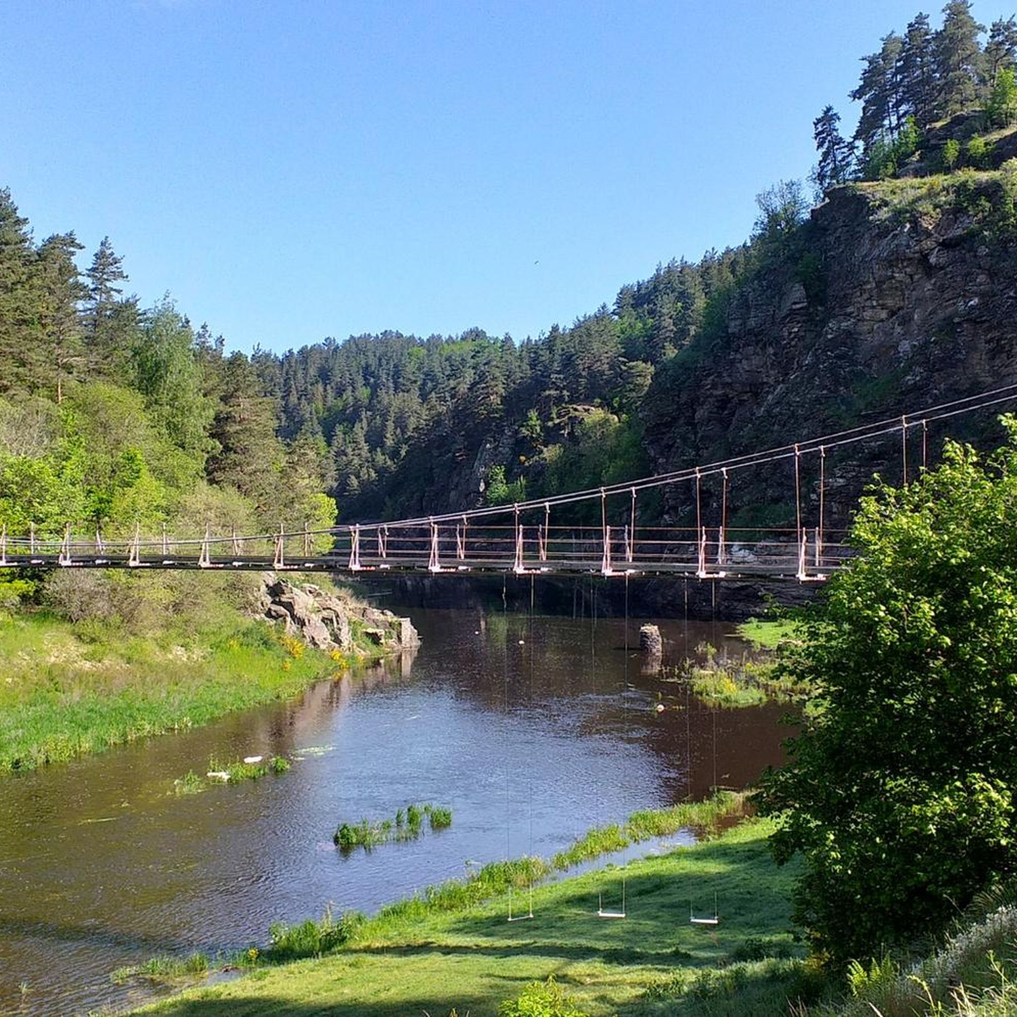
Footbridge over the Truyere at the birth of the Granval dam reservoir
0
0

Superb view of the Garabit viaduct, allowing you to cross the Truyère gorges. This metal structure, created by Gustave Eiffel, is 565 meters long and rises to 122 meters above the water. It was at one time the “highest viaduct in the world”!
0
0

Impressive viaduct designed by Eiffel. Go as close as possible for snaps.
0
0
this little ride cannot be done with a VTC several delicate passages.
0
0

Ruynes-en-Margeride is recognizable from afar thanks to its 12th century tower. The latter houses the Margeride eco-museum as well as the garden of Saint-Martin. The beautiful fountain located on Place Gambetta is also to be discovered.
1
0
Frequently Asked Questions
How many hiking trails are available around Chaliers?
There are over 50 hiking trails around Chaliers, offering a variety of experiences. These include 19 easy routes, 30 moderate routes, and 4 more challenging options, ensuring there's something for every skill level.
What natural features or landmarks can I expect to see on hikes near Chaliers?
Hiking around Chaliers offers a mix of natural scenery and historical landmarks. You can expect to see rolling hills, river valleys, and agricultural areas. Notable features include the historic Garabit Viaduct, the tranquil Laval Pond, and the charming Saint-Martin Church. Other nearby attractions include the Summit of Mont Mouchet, the Valadour Footbridge, and the historic Alleuze Castle.
What do other hikers say about the trails in Chaliers?
The trails in Chaliers are highly regarded by the komoot community, with an average rating of 4.4 stars from over 80 reviews. Hikers often praise the varied terrain, the mix of natural beauty and cultural landmarks, and the well-maintained paths.
Are there circular hiking routes available in Chaliers?
Yes, many of the routes around Chaliers are designed as loops. Popular circular options include The Garabit viaduct - loop starting from Chaliers, the Saint-Martin Church loop from Chaliers, and the Laval Pond – Saint-Martin Church loop from Chaliers.
What is the typical terrain like on Chaliers hiking trails?
The terrain around Chaliers is diverse, featuring rolling hills, river valleys, and agricultural fields. Trails often lead through woodlands, open sections, and alongside water features like Laval Pond. You can expect moderate climbs and descents, providing a varied hiking experience.
Are the hiking trails around Chaliers suitable for families?
Yes, Chaliers offers several family-friendly hiking options. Many of the 19 easy routes are suitable for families looking for a pleasant outdoor experience. These trails typically feature gentle gradients and scenic views, perfect for all ages.
Can I bring my dog on the hiking trails in Chaliers?
Many trails in the Chaliers region are dog-friendly, allowing you to enjoy the outdoors with your canine companion. However, it's always advisable to keep your dog on a leash, especially when passing through agricultural areas or near livestock, and to respect local regulations.
Is parking available at the trailheads in Chaliers?
Parking is generally available near the starting points of many popular trails in and around Chaliers. For specific routes, it's recommended to check the individual tour details on komoot for precise parking information.
What is the best time of year to go hiking in Chaliers?
The best time for hiking in Chaliers, located in the Cantal region of France, is typically from spring to autumn. During these seasons, the weather is generally mild and pleasant, making for comfortable hiking conditions. Spring brings blooming landscapes, while autumn offers beautiful foliage.
How long do hikes around Chaliers typically take?
Hikes around Chaliers vary in duration depending on the route and your pace. For example, the Garabit viaduct loop typically takes around 4 hours 45 minutes, while the Saint-Martin Church loop can be completed in about 3 hours. There are also shorter and longer options available.
Are there places to eat or stay near the hiking trails in Chaliers?
Chaliers and its surrounding villages offer various amenities, including cafes, pubs, and accommodation options. You can find places to refuel or stay overnight, particularly in larger nearby towns like Ruynes-en-Margeride, making it convenient for multi-day trips or post-hike relaxation.
Are there any easy hiking options for beginners in Chaliers?
Yes, Chaliers is well-suited for beginners with 19 easy routes available. These trails are generally shorter and have less elevation gain, providing a gentle introduction to hiking in the region. A good example is the Laval Pond loop from Chaliers, which is moderate but offers accessible terrain.
Most popular attractions around Chaliers

Get inspired with the komoot mobile app


Explore more
Browse the best Hikes in other regions.
