The best road cycling routes around Charmensac
4.8
(30)
658
riders
47
rides
Road cycling routes around Charmensac are situated within the Cantal department of the Auvergne-Rhône-Alpes region, characterized by its dramatic volcanic origins and mountainous topography. The terrain offers a mix of ascents and descents through ancient volcanic formations and high mountain passes. Cyclists can navigate expansive plateaus and picturesque glacial valleys, providing diverse road cycling experiences. The region is known for its quiet, untrammeled roads, offering a serene environment for riders.
Best road cycling routes around Charmensac
- The most popular road…
Last updated: May 20, 2026
4.3
(4)
21
riders
56.8km
03:02
1,070m
1,070m
Hard road ride. Very good fitness required. Mostly well-paved surfaces and easy to ride.
9
riders
91.6km
04:50
1,700m
1,700m
Hard road ride. Very good fitness required. Mostly well-paved surfaces and easy to ride.

Sign up for free
5.0
(1)
9
riders
51.4km
02:13
440m
440m
Moderate road ride. Good fitness required. Mostly well-paved surfaces and easy to ride.
5
riders
26.9km
01:19
390m
390m
Moderate road ride. Good fitness required. Mostly well-paved surfaces and easy to ride.
4
riders
50.6km
02:29
780m
780m
Moderate road ride. Good fitness required. Mostly well-paved surfaces and easy to ride.
Get access to more routes and recommendations from other explorers.
Sign up for free
Already have an account?
Our route recommendations are based on thousands of hikes, rides, and runs completed by other people on komoot.
Start today with a free account
Your next adventure awaits.
Login or Signup

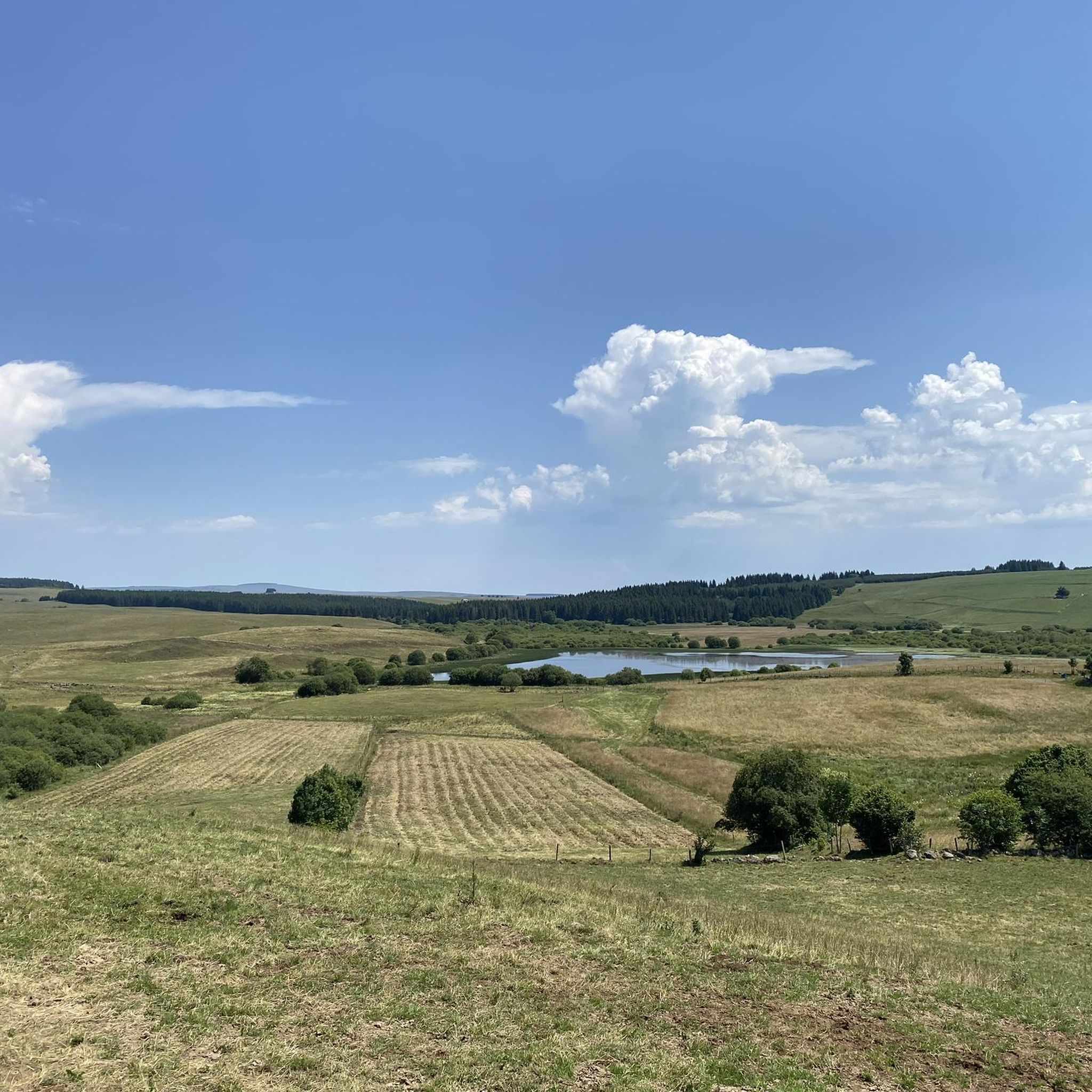
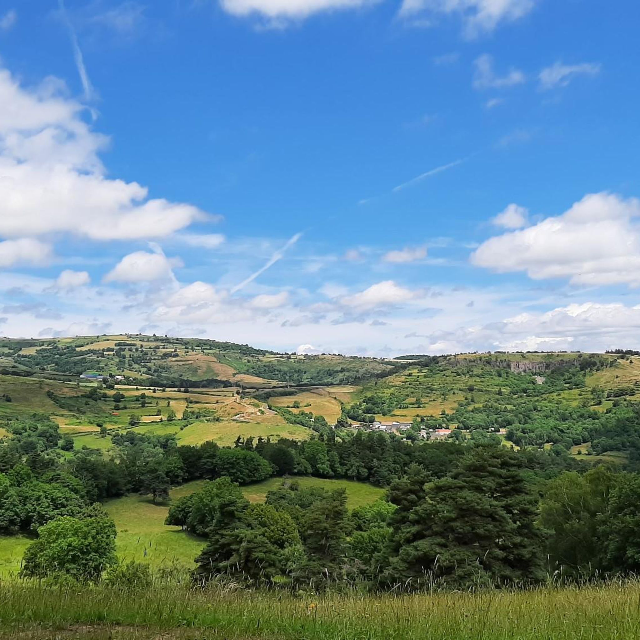
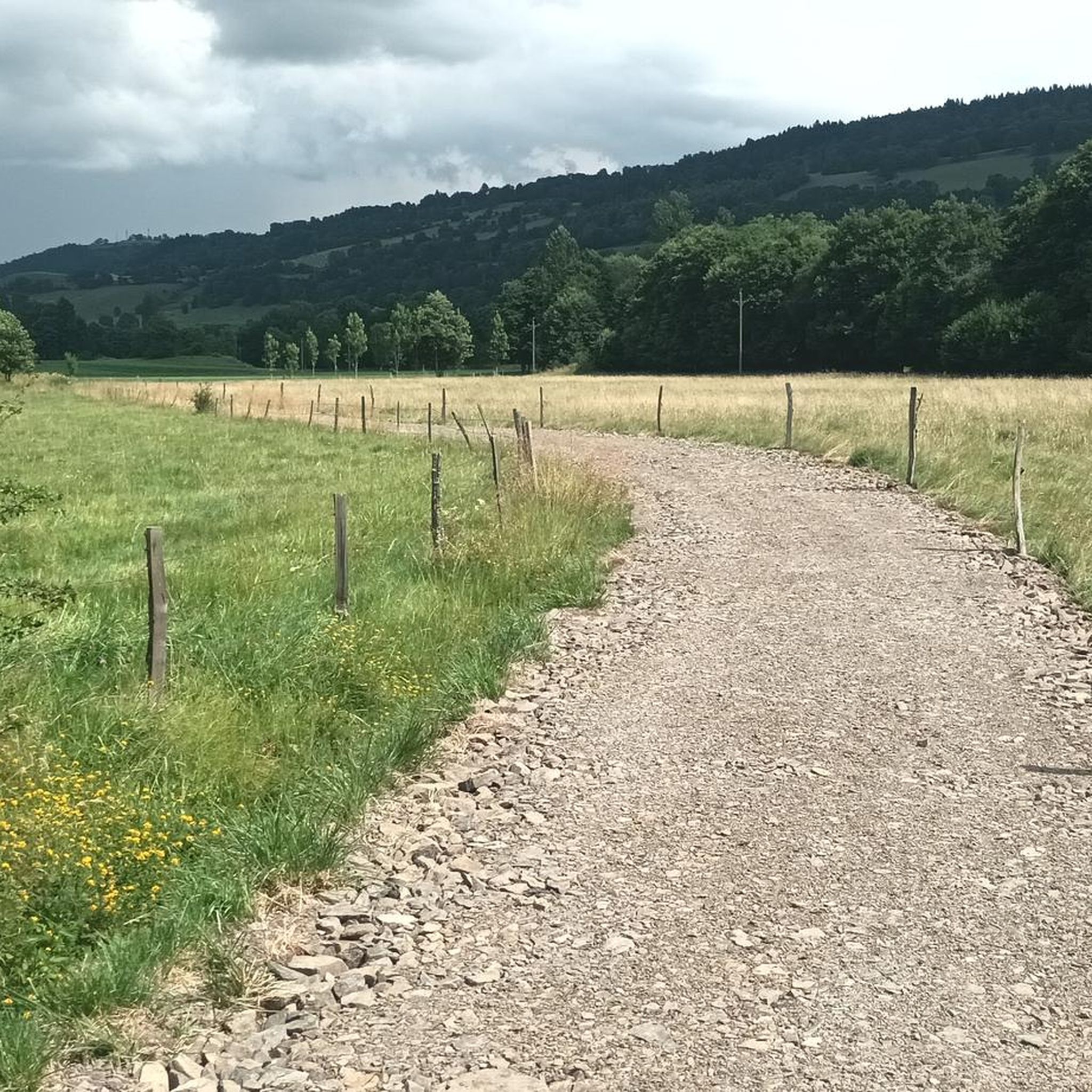

Tips from the Community

very pretty pass typical of Cezallier
1
0
beautiful in good weather
0
0

Not too difficult, I did it on a mountain bike.
0
0


A pretty medieval city to cross by bike
0
0
A pretty medieval city to cross by bike
0
0


Frequently Asked Questions
How many road cycling routes are available around Charmensac?
There are over 50 road cycling routes around Charmensac, offering a wide range of options for different skill levels. The region is known for its dramatic volcanic origins and mountainous topography, providing diverse terrain for cyclists.
What are the difficulty levels of road cycling routes in the Charmensac area?
The road cycling routes around Charmensac cater to various skill levels. You'll find 31 moderate routes and 17 difficult routes, with a few easier options also available. The terrain includes challenging ascents through high mountain passes and more leisurely rides across vast plateaus.
Are there any family-friendly road cycling options near Charmensac?
While many routes in the mountainous Cantal region feature significant elevation, some routes offer more moderate terrain suitable for families with older children or those seeking a less strenuous ride. For example, the Beautiful village of Murat – Murat — Medieval Village loop from Ferrières is a moderate 32.2-mile (51.8 km) trail that leads through charming villages, offering a scenic experience.
What kind of attractions can I expect to see along the road cycling routes?
The routes around Charmensac are rich in natural beauty and cultural points of interest. You can encounter high mountain passes like Col de la Vazèze and Fortunier Pass, as well as charming villages such as Allanche and Massiac. The region is part of the Regional Natural Park of the Volcanoes of Auvergne, offering unique volcanic landscapes and picturesque glacial valleys.
What do other road cyclists enjoy most about cycling in Charmensac?
The road cycling routes around Charmensac are highly rated by the komoot community, with an average score of 4.7 stars from over 30 reviews. Cyclists often praise the quiet, untrammeled roads, the stunning volcanic landscapes, and the challenging yet rewarding ascents through the Cantal mountains.
Are there any circular road cycling routes available?
Yes, many of the road cycling routes around Charmensac are designed as loops, allowing you to start and end in the same location. Examples include the challenging Col de Vestizoux (1317 m) – Chamaroux Pass loop from Molompize and the moderate Col de la Fageole loop from Saint-Mary-le-Plain.
What is the best time of year for road cycling in Charmensac?
The best season for road cycling in the Cantal department, including Charmensac, is generally from late spring to early autumn (May to October). During these months, the weather is more favorable, and the high mountain passes are typically clear of snow, offering optimal conditions to enjoy the volcanic landscapes and challenging climbs.
Are there any routes that pass through notable villages or towns?
Absolutely. The region is dotted with authentic small mountain villages. The Beautiful village of Murat – Murat — Medieval Village loop from Ferrières is a prime example, leading you through charming settlements. Charmensac itself, with its traditional stone houses, is also a delightful starting or ending point for rides.
What are some of the more challenging road cycling routes in the area?
For experienced cyclists seeking a challenge, the region offers routes with significant elevation gain. The Col de Vestizoux (1317 m) – Chamaroux Pass loop from Molompize is a difficult 56.8-mile (91.5 km) trail with over 1700 meters of elevation gain, taking you through high mountain passes that have even been featured in the Tour de France.
Can I find routes that offer scenic views of the volcanic landscape?
Yes, the entire region around Charmensac is within the Regional Natural Park of the Volcanoes of Auvergne, ensuring scenic views on almost every route. The terrain provides a mix of ascents and descents amidst stunning volcanic formations. Routes like the Moulin d'Ally – Ally loop from Espezolles offer beautiful vistas of the diverse flora and fauna.
Are there any external resources for more information on cycling in the Cantal region?
For additional information on cycling breaks in Cantal, including routes that have been part of the Tour de France, you can visit hautesterrestourisme.fr. Another resource for a longer cycling experience is the Grande Traversée du Volcan à Vélo, detailed on francevelotourisme.com.
What kind of terrain can I expect on the road cycling routes?
The terrain around Charmensac is highly varied due to its volcanic origins. Cyclists will encounter a mix of challenging ascents through high mountain passes like Pas de Peyrol, expansive plateaus such as Planèze and Margeride, and picturesque glacial valleys. The roads are generally quiet and untrammeled, providing a serene cycling environment.
Most popular routes around Charmensac
Most popular attractions around Charmensac

Get inspired with the komoot mobile app


Explore more
Browse the best Road cycling routes in other regions.
