The best running trails around Soglio
4.8
(18)
1,689
runners
60
runs
Jogging routes around Soglio traverse a landscape characterized by alpine valleys, mountain passes, and views of glacial lakes. The region offers varied terrain, from challenging ascents to more gradual paths along valley floors. Runners can expect routes that navigate through forested areas and open mountain slopes, providing diverse running experiences. The elevation changes are notable, with many routes featuring significant climbs and descents.
Best jogging routes around Soglio
- The most popular jogging route is View of Lake Sils – View…
Last updated: August 14, 2026
5.0
(2)
185
runners
Hard run. Very good fitness required. Mostly paved surfaces. Suitable for all skill levels.
5.0
(3)
104
runners
Hard run. Very good fitness required. Sure-footedness, sturdy shoes and alpine experience required.

Sign up for free
5.0
(1)
101
runners
Moderate run. Good fitness required. Mostly paved surfaces. Suitable for all skill levels.
34
runners
Hard run. Very good fitness required. Sure-footedness, sturdy shoes and alpine experience required.
35
runners
Hard run. Very good fitness required. Sure-footedness, sturdy shoes and alpine experience required.
Get access to more routes and recommendations from other explorers.
Sign up for free
Already have an account?
Our route recommendations are based on thousands of hikes, rides, and runs completed by other people on komoot.
Start today with a free account
Your next adventure awaits.
Login or Signup
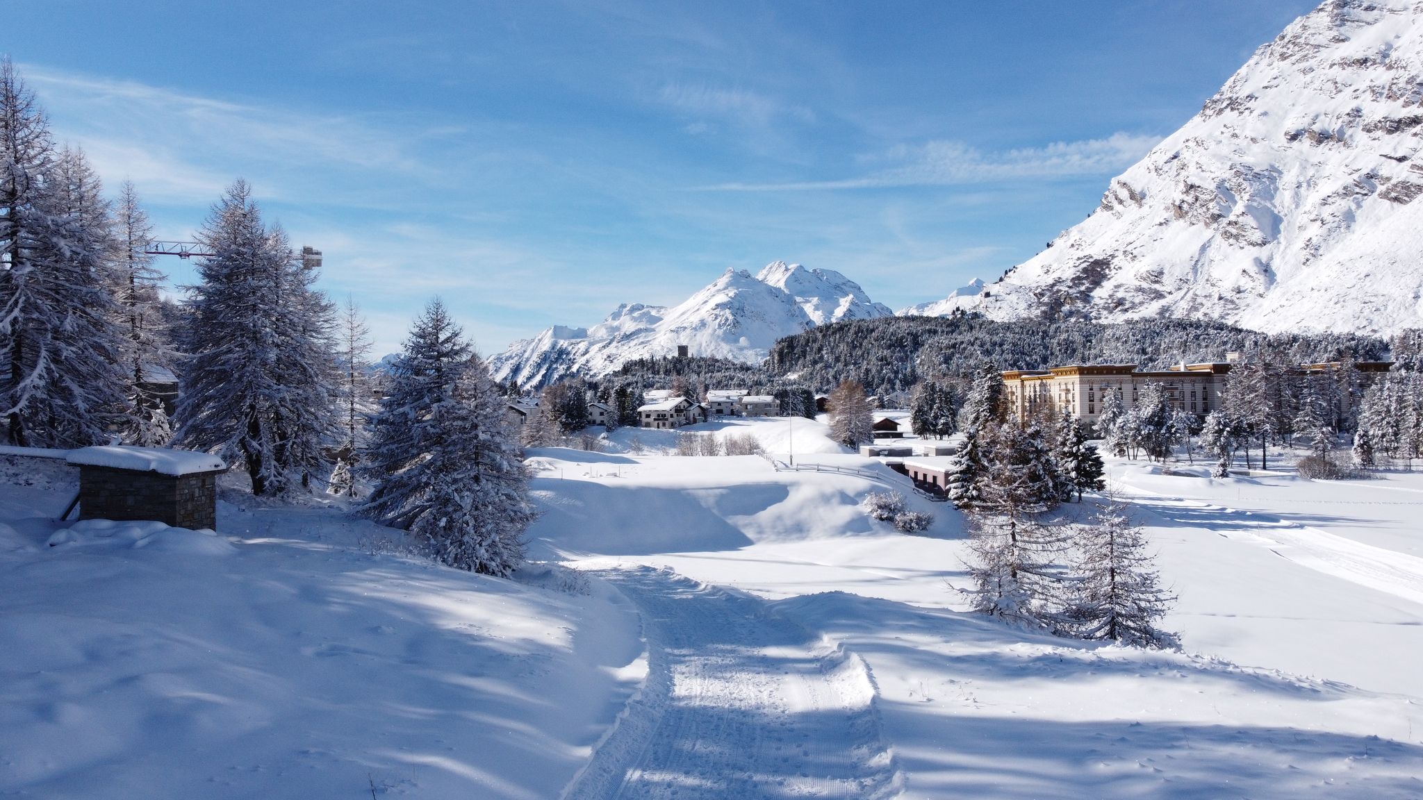
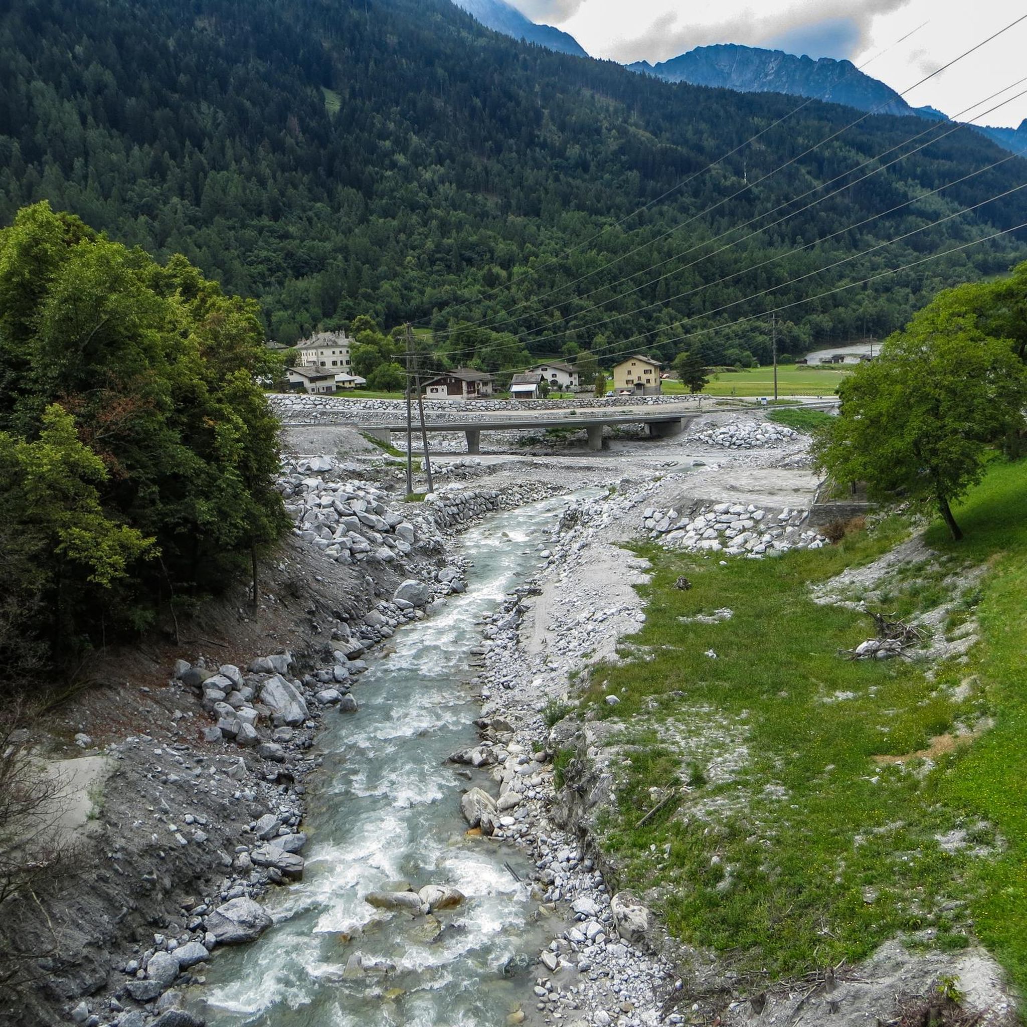
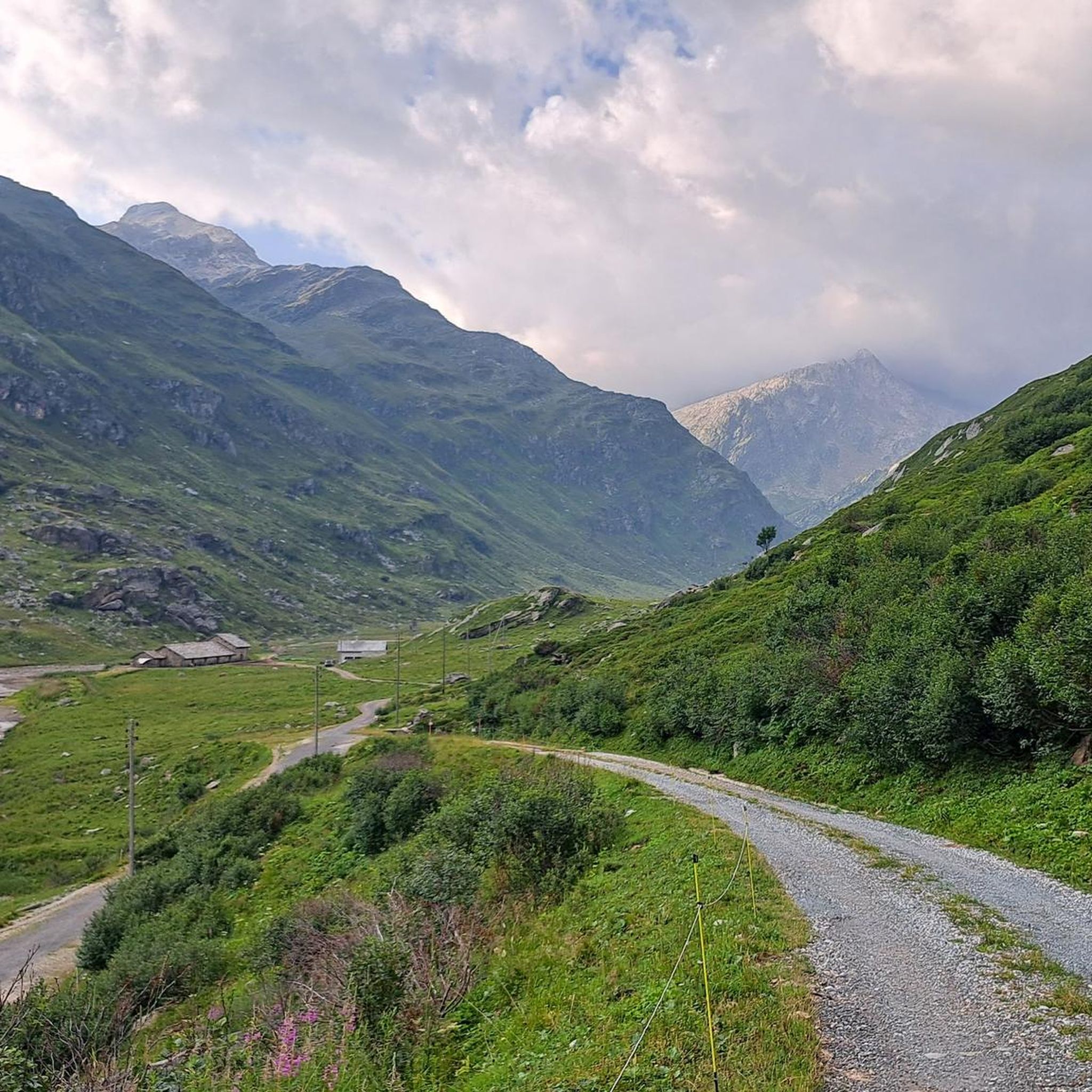

Other adventures around Soglio

Tips from the Community

Scenically a great tour. Top Top Top
0
0
scenically very great tour. Top Top Top
0
0
Scenically a great tour. Top Top Top
0
0
scenically very great tour. Top Top Top
0
0

Church of St. Margaret in Fex Crasta (Evangelical) The church was likely built around 1500. It is first mentioned in 1506 as a house of worship dedicated to St. Margaret. A simple rectangular building with a semicircular chancel and a brick bell tower above the southeast front, its Baroque appearance resulting from an elevation in the 17th century. The brick wall surrounding the church was added with the establishment of a cemetery in the post-Reformation period. A simple hall church with a flat-roofed rectangular nave and a domed apse. The chancel contains frescoes in the Upper Italian style dating from 1511. According to an inscription, the gallery was installed in 1665; the coffered ceiling above the nave also dates from the 17th century. A simple polygonal pulpit dates from 1721. The stained-glass window "Lamentation of Christ" is by Ernst Rinderspacher (1879–1949). Gallery organ, built in 1981 (Felsberg Organ Builders). Text / Source: Sils Tourism (Back Office), Via da Marias 93, Sils / Segl Maria https://www.sils.ch/de/guide/sils-im-engadin/sehenswuerdigkeiten/kultur-architektur/bergkirche-sta-margarita-in-fex-crasta-evang
15
0

The parking lot has been closed, at least temporarily.
2
0
The relatively large Hotel Fex is also located here.
1
0
Frequently Asked Questions
How many running routes are available around Soglio?
Soglio offers a wide selection of running routes, with nearly 50 different trails to explore. These routes traverse diverse terrain, from challenging alpine ascents to more gradual paths along valley floors.
Are there any easy jogging routes suitable for beginners in Soglio?
Yes, Soglio has several options for beginners or those looking for a less strenuous run. There are 4 easy routes available, providing a gentler introduction to the region's beautiful landscapes.
What kind of terrain can I expect on the jogging trails in Soglio?
The jogging trails around Soglio feature varied terrain, including alpine valleys, mountain passes, and paths offering views of glacial lakes. You'll encounter forested areas, open mountain slopes, and routes with notable elevation changes, providing diverse running experiences.
Are there any loop or circular running trails in the Soglio area?
Yes, many of the running routes in Soglio are designed as loops, allowing you to start and finish in the same location. An example is the moderate View of Lake Sils from Maloja – View of Lake Sils loop from Passo della Maloja - Malojapass 1815 m, which offers lake vistas over 14.7 km.
What are some of the notable landmarks or viewpoints I can see while running in Soglio?
The routes often feature stunning natural landmarks. You can enjoy extensive views of Lake Sils and Lake Silvaplana, as well as panoramic alpine scenery. Highlights in the broader region include the majestic Piz Lunghin, the charming village of Soglio itself, and the serene Lago di Cavloccio.
Are there any waterfalls accessible from the running routes?
Yes, the Soglio region is home to several beautiful waterfalls. While running, you might be able to visit highlights such as the impressive Acqua Fraggia Waterfalls or the scenic Catino Waterfall. Some routes even offer viewpoints like the View of Acquafraggia Waterfalls.
What is the best time of year for running in Soglio?
The best time for running in Soglio generally spans from late spring through early autumn, when the weather is mild and the trails are clear of snow. However, some lower elevation routes may be accessible earlier or later in the season. Always check local conditions before heading out.
Are there any running routes suitable for families with children?
While many routes in Soglio feature significant elevation changes, there are easier trails that might be suitable for families looking for a less challenging run. It's recommended to check the difficulty grade and distance of specific routes to ensure they align with your family's fitness level.
What do other runners enjoy most about the trails in Soglio?
The running trails in Soglio are highly rated by the komoot community, with an average score of 4.7 stars from more than 5 reviews. Runners often praise the diverse terrain, the stunning alpine and lake views, and the variety of options available for different ability levels.
Can I find challenging or advanced running routes in Soglio?
Absolutely. Soglio is well-known for its challenging routes, with 37 difficult trails available. These often feature significant elevation gains and longer distances, such as the 34 km View of Lake Sils – View of Lake Silvaplana loop from Passo della Maloja - Malojapass 1815 m, perfect for experienced runners seeking a demanding workout.
Are there any routes that offer a mix of mountain and valley scenery?
Many routes in Soglio provide a blend of mountain and valley experiences. For example, the difficult Durbegia Mountain Hut – Val Bregaglia Panoramic Route loop from Vicosoprano takes you through varied landscapes, offering panoramic views of the Val Bregaglia.
What are the typical distances and elevation gains for running routes in Soglio?
Running routes in Soglio vary significantly. Distances can range from shorter, easier paths to extensive trails over 30 km. Elevation gains are also notable, with many routes featuring several hundred meters of ascent and descent, reflecting the alpine character of the region.
Most popular attractions around Soglio

Get inspired with the komoot mobile app


Explore more
Browse the best Running Trails & Routes in other regions.
