The best mountain hikes around Silvaplana
5.0
(40)
457
hikers
38
hikes
Mountaineering routes around Silvaplana are set within the Upper Engadine lake district, characterized by impressive three-thousander peaks and glacial formations. The region features diverse alpine landscapes, including the iconic Lake Silvaplana and the dramatic Val Roseg. This terrain offers a range of challenging climbs and high-alpine experiences.
Best mountaineering routes around Silvaplana
- The most popular mountaineering route is Fuorcla Albana (2870 m) – Piz Julier Summit loop from Chamanna dal Stradin, a 6.0 miles (9.6 km) trail that takes…
Last updated: July 11, 2026
5.0
(5)
53
hikers
9.69km
06:51
1,120m
1,120m
Hard mountaineering route. Very good fitness required. Sure-footedness, sturdy shoes and alpine experience required.
5.0
(1)
15
hikers
17.1km
06:52
720m
720m
Hard mountaineering route. Very good fitness required. Mostly accessible paths. Sure-footedness required.

Sign up for free
13
hikers
10.5km
04:33
560m
560m
Hard mountaineering route. Good fitness required. Sure-footedness, sturdy shoes and alpine experience required.
11
hikers
12.8km
05:05
660m
660m
Hard mountaineering route. Very good fitness required. Mostly accessible paths. Sure-footedness required.
5.0
(1)
7
hikers
10.7km
03:11
200m
200m
Moderate mountaineering route. Good fitness required. Mostly accessible paths. Sure-footedness required.
Get access to more routes and recommendations from other explorers.
Sign up for free
Already have an account?
Our route recommendations are based on thousands of hikes, rides, and runs completed by other people on komoot.
Start today with a free account
Your next adventure awaits.
Login or Signup
Popular around Silvaplana
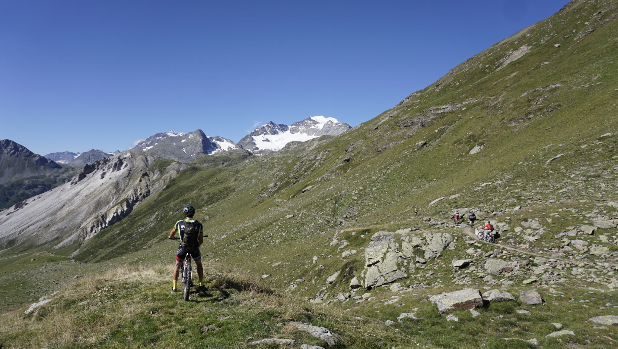
MTB Transalp Lake Como – From the Zugspitze to Lake Como
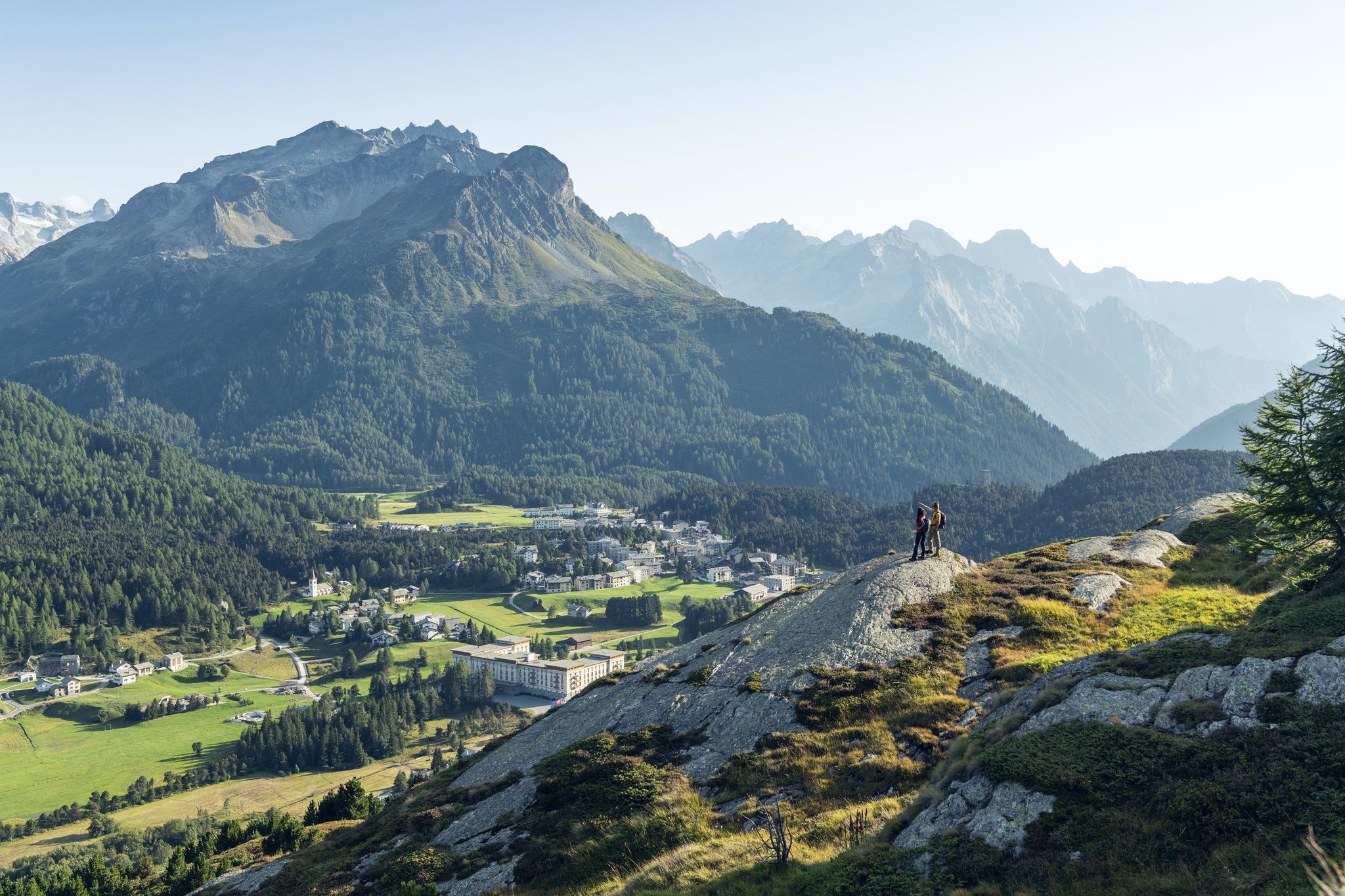
Between water and rock - Via Engiadina
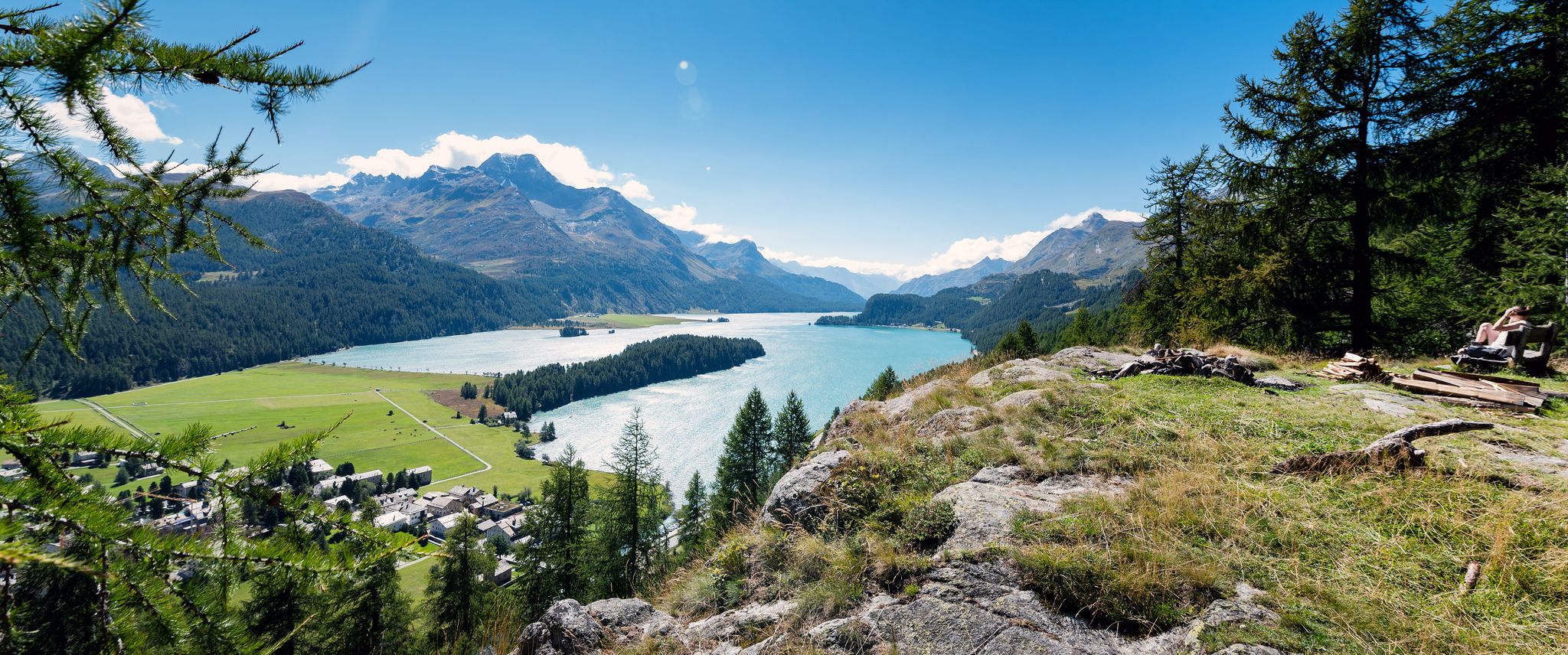
A tranquil and inspiring hike through the Engadin – Via Engiadina
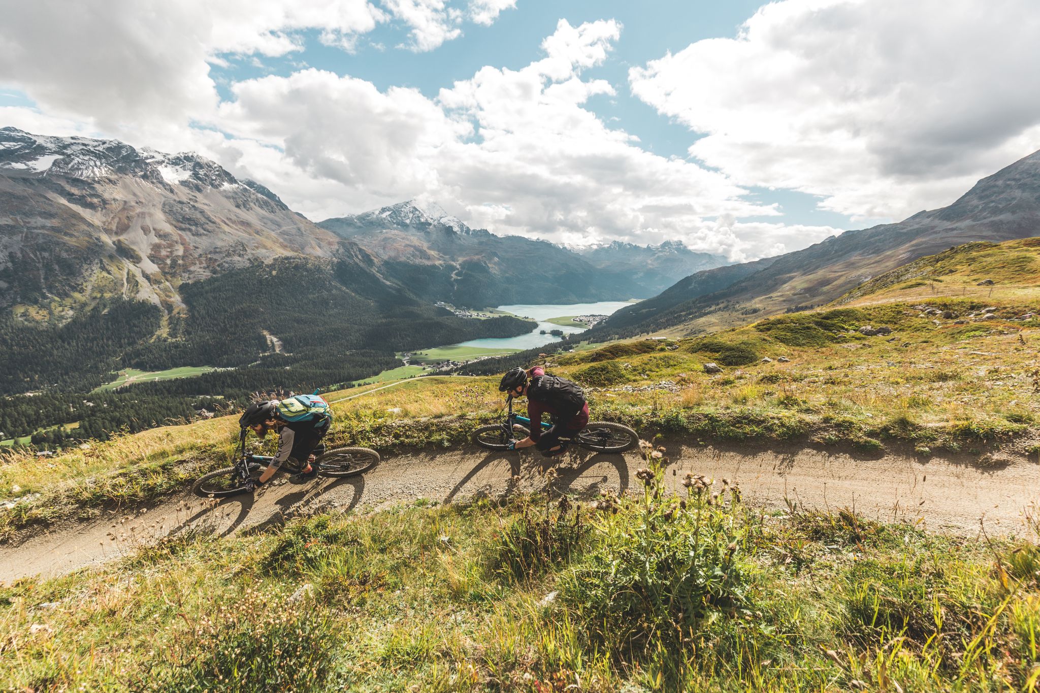
Go with the flow — bike trails in Switzerland’s Engadin valley
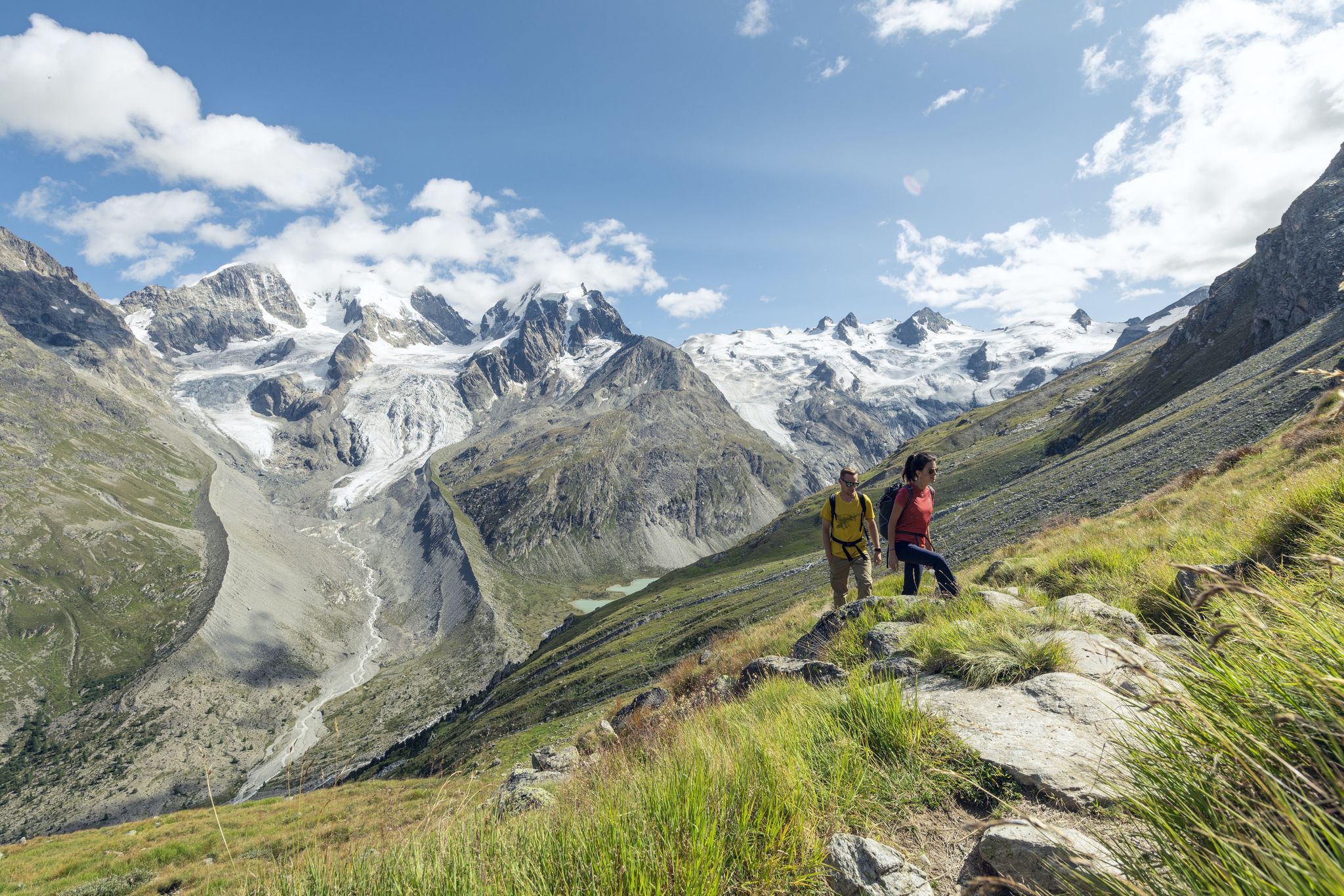
Via Engiadina and Bernina Tour – long-distance hiking in the Engadine
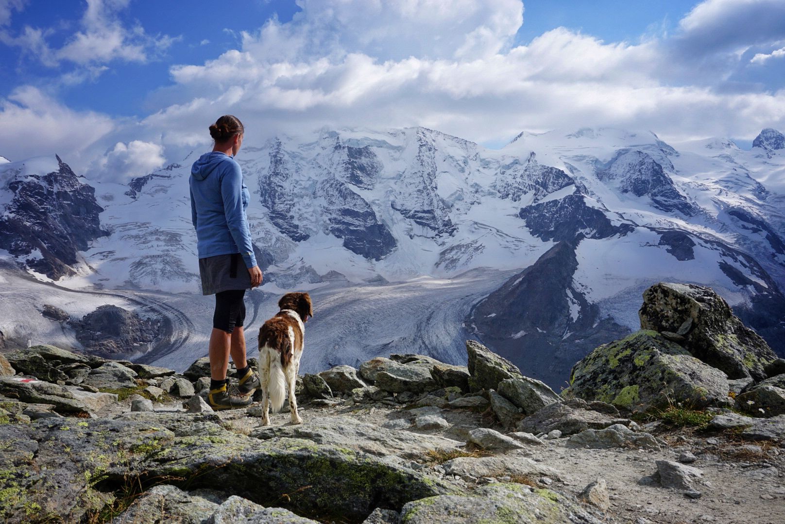
Bernina Tour – 8 days around the only 4,000er peak in the Eastern Alps
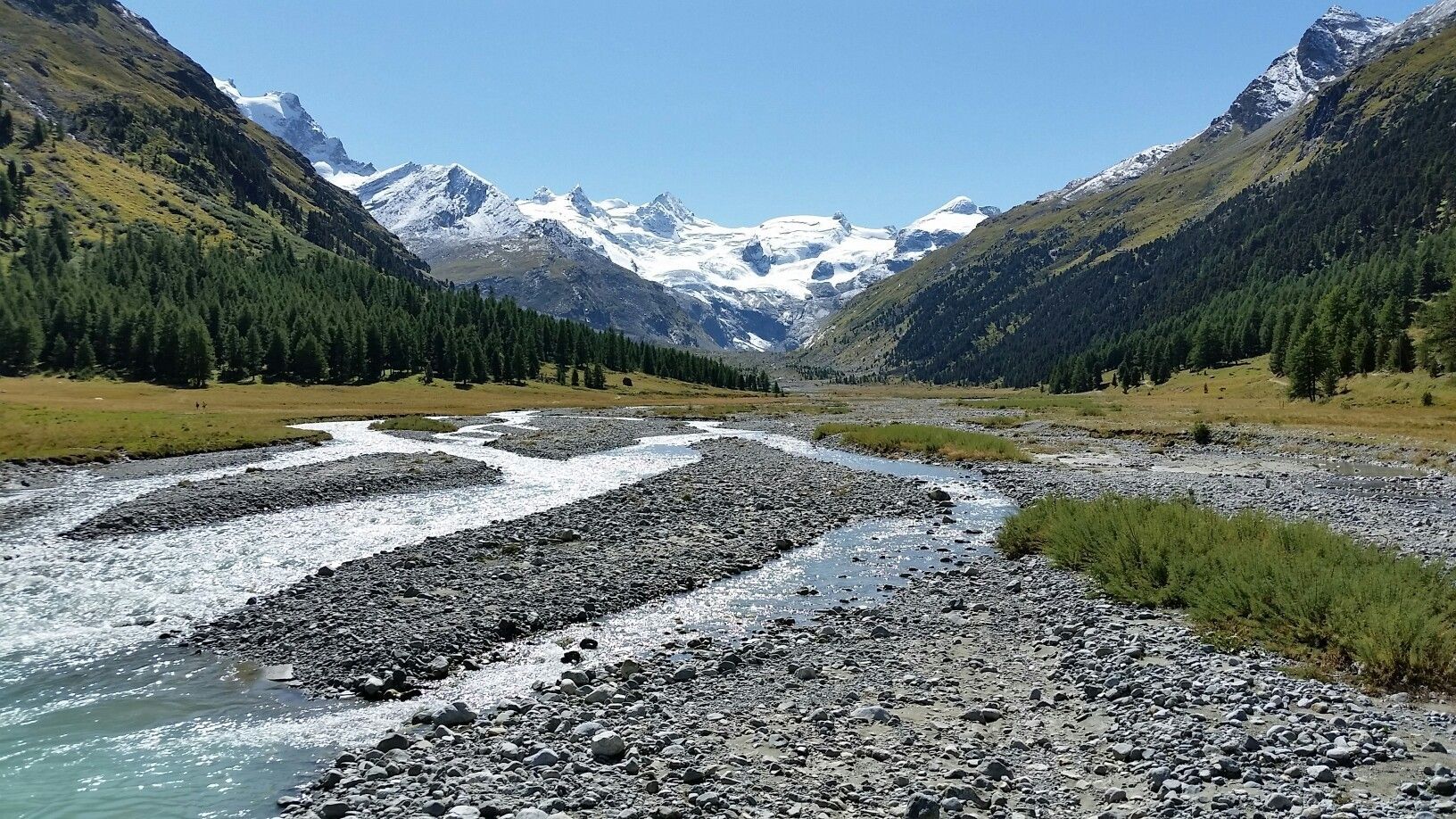
Scenic hikes in the Engadin
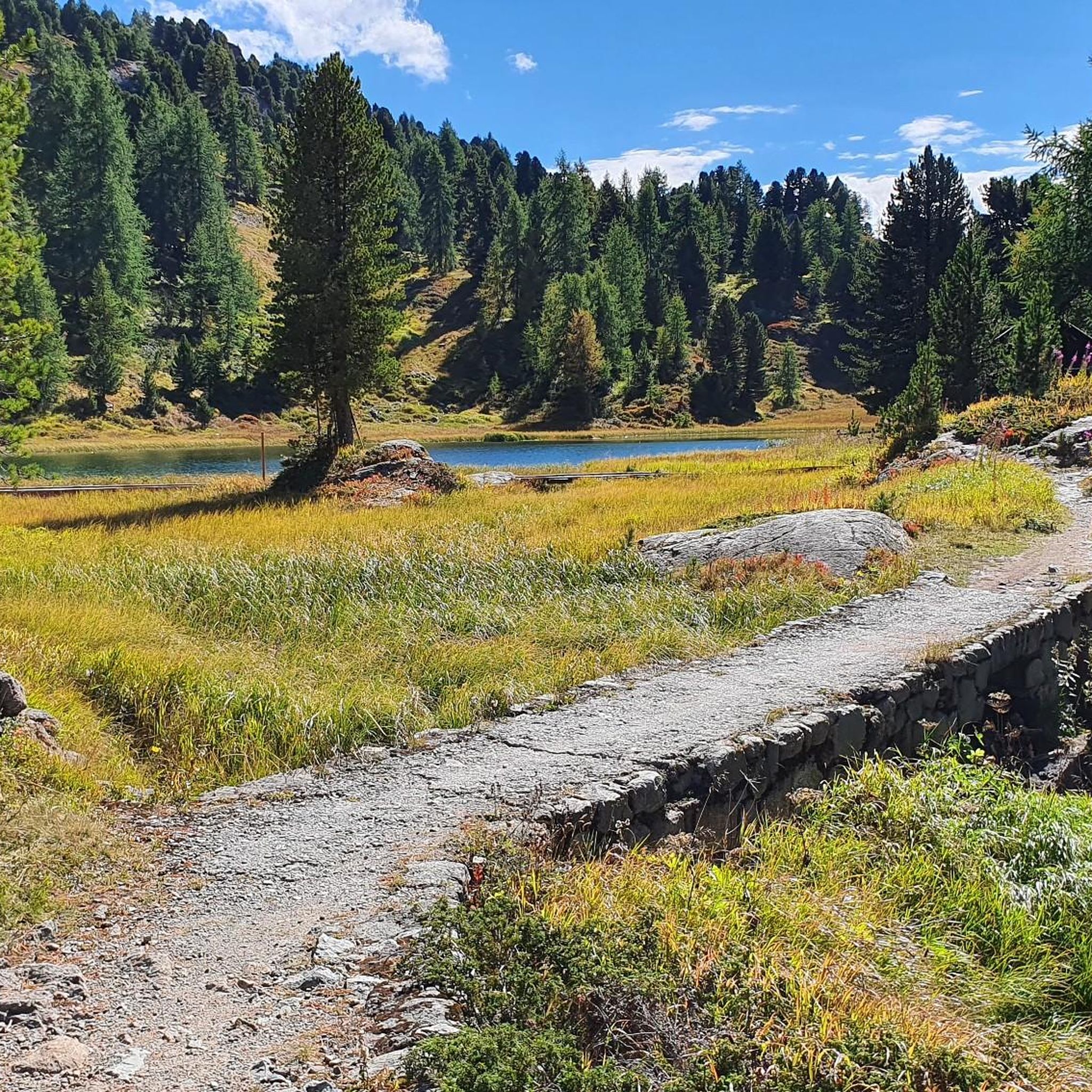
Hiking around Silvaplana
MTB Trails around Silvaplana
Running Trails around Silvaplana
Other adventures around Silvaplana


Tips from the Community


Wonderful lake, popular with water sports enthusiasts, very nice path along the lake on the east bank.
0
0
Scenically very great tour. Top Top Top
0
0
beautiful landscape here, simply unique
0
0

Sils Maria is a historic village in the Engadine, known for its connection to Friedrich Nietzsche and its cultural significance. In the beautiful Engadine village of Sils, at 1802 meters above sea level, everything is a little more intense: the tranquility, the changing seasons, the light, nature – happiness. Vacationers who found St. Moritz too hectic continued on to Sils Maria. That's how it was a hundred years ago; and that's how it still is today. It's palpable at every turn: those who come to Sils want to nourish their souls. And in doing so, they want to experience the warmth of a small village with around 810 inhabitants, where tourism has a long tradition and has been a way of life for over 100 years. Two Hearts, One Soul Sils Maria and Sils Baselgia: Our village has two names because it comprises two settlements. Sils Baselgia grew up around the Church of San Lurench. It was first mentioned in 1356 and still stands today. "Baselgia" is derived from basilica (church). In Sils Maria, the larger of the two villages, the large dairy farm once stood. The name "Maria" refers not to a proper name, but to the term "dairy farm." "Sils" means something like "green meadow" or "long strip of land." This also referred to the Sils lake plain. It is still a "green meadow"—thanks to landscape and nature conservation efforts and the awareness of these values that the people of Sils possess. Text / Source: Sils Information Center "Engadin Tourism AG", Via da Marias 38, Sils/Segl Maria https://www.sils.ch/de/guide/sils-im-engadin/dorfportrait
15
0

Information about the restaurant can be found at https://www.roseg-gletscher.ch/de/restaurant.html When the weather is nice, the outdoor terrace is always well attended.
2
0

Frequently Asked Questions
How many mountaineering routes are available around Silvaplana?
There are over 40 mountaineering routes around Silvaplana, offering a diverse range of experiences. These include 16 moderate and 27 difficult trails, catering to various skill levels.
What kind of terrain can I expect on mountaineering routes in Silvaplana?
Mountaineering routes in Silvaplana are characterized by impressive three-thousander peaks, dramatic glacial formations, and the serene Lake Silvaplana. You'll traverse diverse alpine landscapes, including high-alpine worlds like the Val Roseg, and experience challenging climbs with expansive views.
Are there any circular mountaineering routes in the Silvaplana area?
Yes, Silvaplana offers several rewarding circular mountaineering routes. For example, the challenging Fuorcla Albana (2870 m) – Piz Julier Summit loop from Chamanna dal Stradin takes you to a prominent summit and back. Another option is the moderate View of Lake Silvaplana – Lake Silvaplana loop from Silvaplana, which offers scenic views around the lake.
What are some challenging mountaineering routes in Silvaplana?
For experienced mountaineers, Silvaplana offers several difficult routes. The Roseg Glacier Restaurant – Chamanna Coaz loop from Roseg is a demanding 17.2 km path traversing high alpine terrain with close-up views of glaciers. Another challenging option is the Trail to Alp da Segl – View into the Fex Valley loop from Sils im Engadin, which provides stunning vistas into the Fex Valley.
Are there any moderate mountaineering routes suitable for those looking for a less strenuous experience?
Absolutely. While many routes are challenging, there are moderate options available. The Edge of the Glacier – Tschierva Hut loop from Roseg is a moderate 10.4 km trail leading through glacial valleys and past mountain huts, typically completed in about 4.5 hours.
What natural features or landmarks can I see along the mountaineering routes?
Silvaplana's mountaineering routes offer access to incredible natural features. You can explore dramatic gorges like the Roseg Valley or the Val Fex. The region is also home to majestic summits such as Munt Pers Summit and the iconic Piz Bernina. You might also encounter beautiful alpine lakes like Lej dals Chöds (Hahnensee) or Lej Nair.
What do other mountaineers enjoy most about the routes in Silvaplana?
The mountaineering routes in Silvaplana are highly rated by the komoot community, with an average score of 5.0 stars from over 40 reviews. Mountaineers often praise the breathtaking vistas of the three-thousander peaks, the unique experience of glacial landscapes, and the overall pristine nature of the Engadin Valley.
What is the best time of year for mountaineering in Silvaplana?
The summer months are generally ideal for mountaineering in Silvaplana, as the alpine meadows burst with wildflowers and the weather is more stable. However, the region's diverse terrain means conditions can vary, so always check local forecasts and trail conditions before heading out.
Are there any routes that offer views of the famous Piz Bernina?
Yes, several vantage points in the Silvaplana region offer spectacular views of Piz Bernina, the only four-thousander in Graubünden. Routes that lead to higher elevations or passes like Fuorcla Surlej are known for providing excellent panoramas of this iconic peak and the surrounding glaciers.
What kind of wildlife might I encounter while mountaineering in Silvaplana?
The relatively remote nature of the Engadin Valley, where Silvaplana is located, provides a tranquil environment for wildlife. While specific sightings are never guaranteed, you might spot various alpine birds, marmots, or even chamois in the higher, more secluded areas.
Are there any routes that pass by mountain huts or restaurants?
Yes, some routes offer opportunities to stop at mountain huts or restaurants. For instance, the Edge of the Glacier – Tschierva Hut loop from Roseg passes by mountain huts, providing a chance for a break or refreshment amidst your journey through glacial valleys.
Most popular attractions around Silvaplana

Get inspired with the komoot mobile app


Explore more
Browse the best Mountain Hikes & Routes in other regions.
