The best mountain hikes around Zernez
4.8
(11)
144
hikers
16
hikes
Mountaineering routes around Zernez are situated in the Engadine region, serving as a primary gateway to the Swiss National Park. The area features unspoiled alpine landscapes, diverse mountainous terrain, and numerous peaks and valleys. This environment offers a range of challenges, including gravel paths, rocky sections, and forested areas, characteristic of high alpine environments.
Best mountaineering routes around Zernez
- The most popular mountaineering route is Source of the Inn River – Flüela Schwarzhorn loop from Flüelapass, a 5.8 miles (9.3 km) trail that takes 4 hours 54 minutes to complete. This route offers a moderate challenge through varied alpine scenery.
- Another top favourite among local mountaineers is Flüela Schwarzhorn – Source of the Inn River loop from Schwarzhorn, a difficult 7.2 miles (11.6 km) path. This route features significant elevation gain and rugged terrain, typical of high mountain ascents.
- Local mountaineers also love the Piz Linard – Upper Section of the Couloir loop from Lavin, a 9.4 miles (15.1 km) trail leading through challenging alpine couloirs and high mountain passes, often completed in about 8 hours 5 minutes.
- Mountaineering around Zernez is defined by unspoiled alpine landscapes, diverse mountainous terrain, and access to the Swiss National Park. The network offers options for both moderate and difficult ability levels, with 6 moderate and 16 difficult routes available.
- The routes in Zernez are highly rated by the komoot community with an average score of 4.8 stars from more than 20 reviews. More than 300 mountaineers have used komoot to explore Zernez's varied terrain.
Last updated: July 7, 2026
5.0
(5)
32
hikers
11.6km
05:38
820m
820m
Hard mountaineering route. Very good fitness required. Mostly accessible paths. Sure-footedness required.
29
hikers
14.7km
07:57
1,410m
1,410m
Hard mountaineering route. Very good fitness required. Mostly accessible paths. Sure-footedness required.

Sign up for free
4.0
(1)
16
hikers
14.1km
06:40
1,060m
1,060m
Hard mountaineering route. Very good fitness required. Sure-footedness, sturdy shoes and alpine experience required.
5.0
(1)
11
hikers
Moderate mountaineering route. Good fitness required. Mostly accessible paths. Sure-footedness required.
5.0
(1)
8
hikers
18.0km
08:16
1,050m
1,050m
Hard mountaineering route. Very good fitness required. Sure-footedness, sturdy shoes and alpine experience required.
Get access to more routes and recommendations from other explorers.
Sign up for free
Already have an account?
Our route recommendations are based on thousands of hikes, rides, and runs completed by other people on komoot.
Start today with a free account
Your next adventure awaits.
Login or Signup
Popular around Zernez
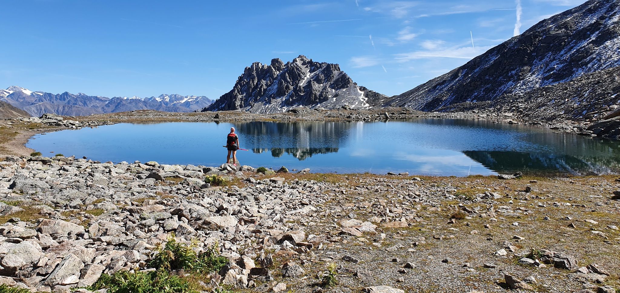
Swiss National Park Panorama Trail – Spectacular and serene
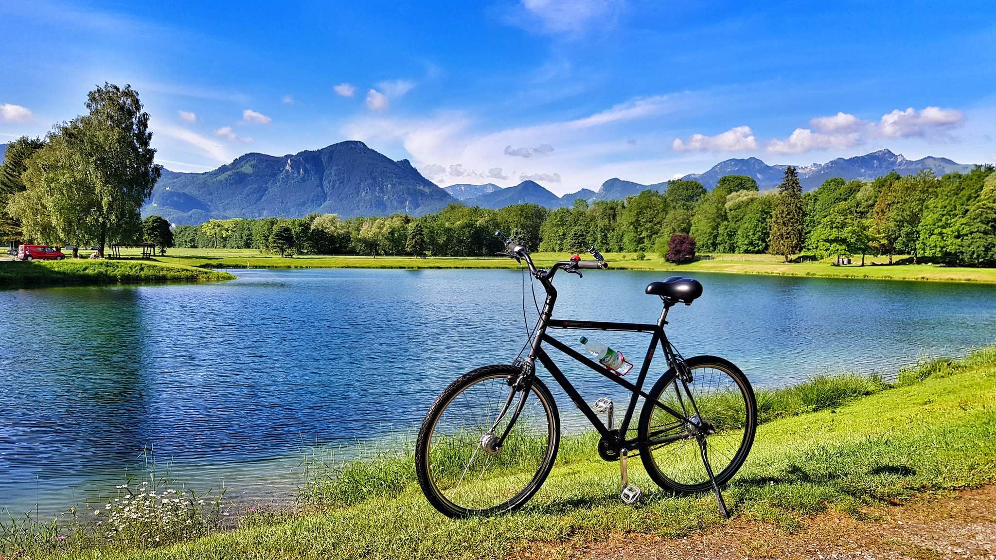
The Inn Cycle Path – From a babbling brook to a mighty river
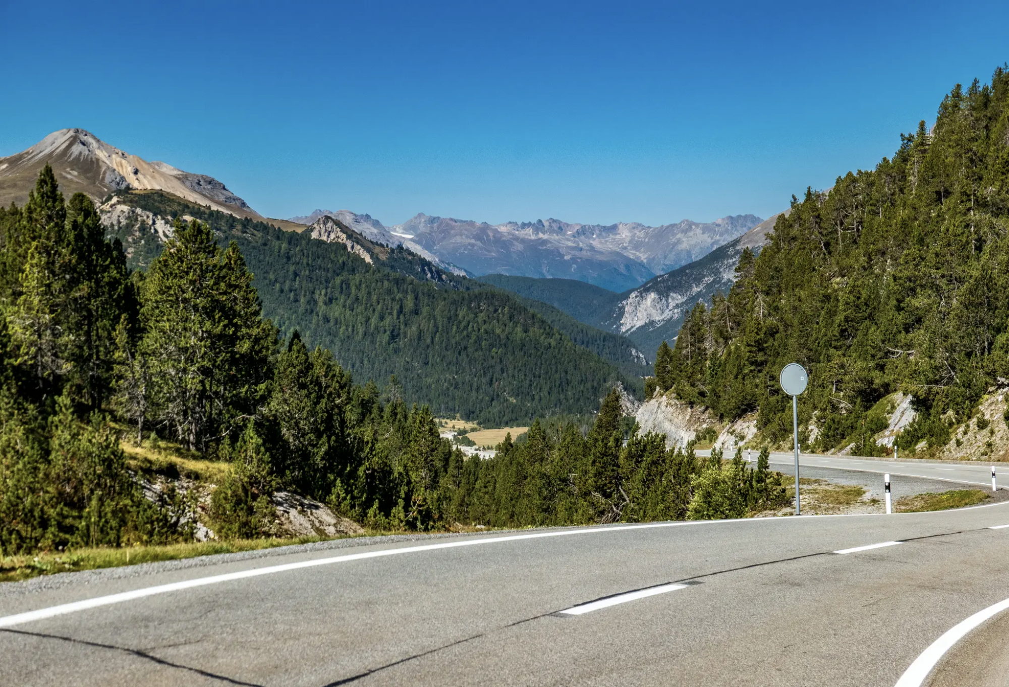
Following the Race Across the Alps
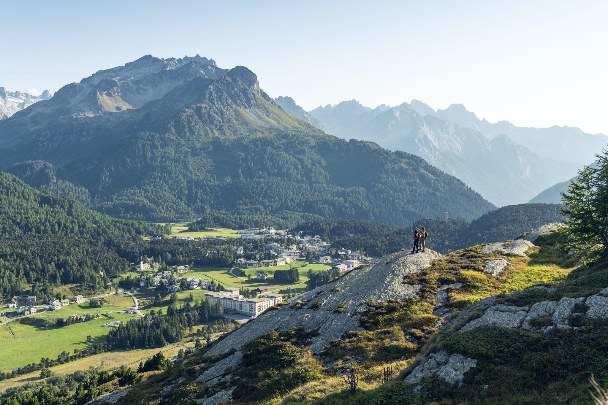
Between water and rock - Via Engiadina
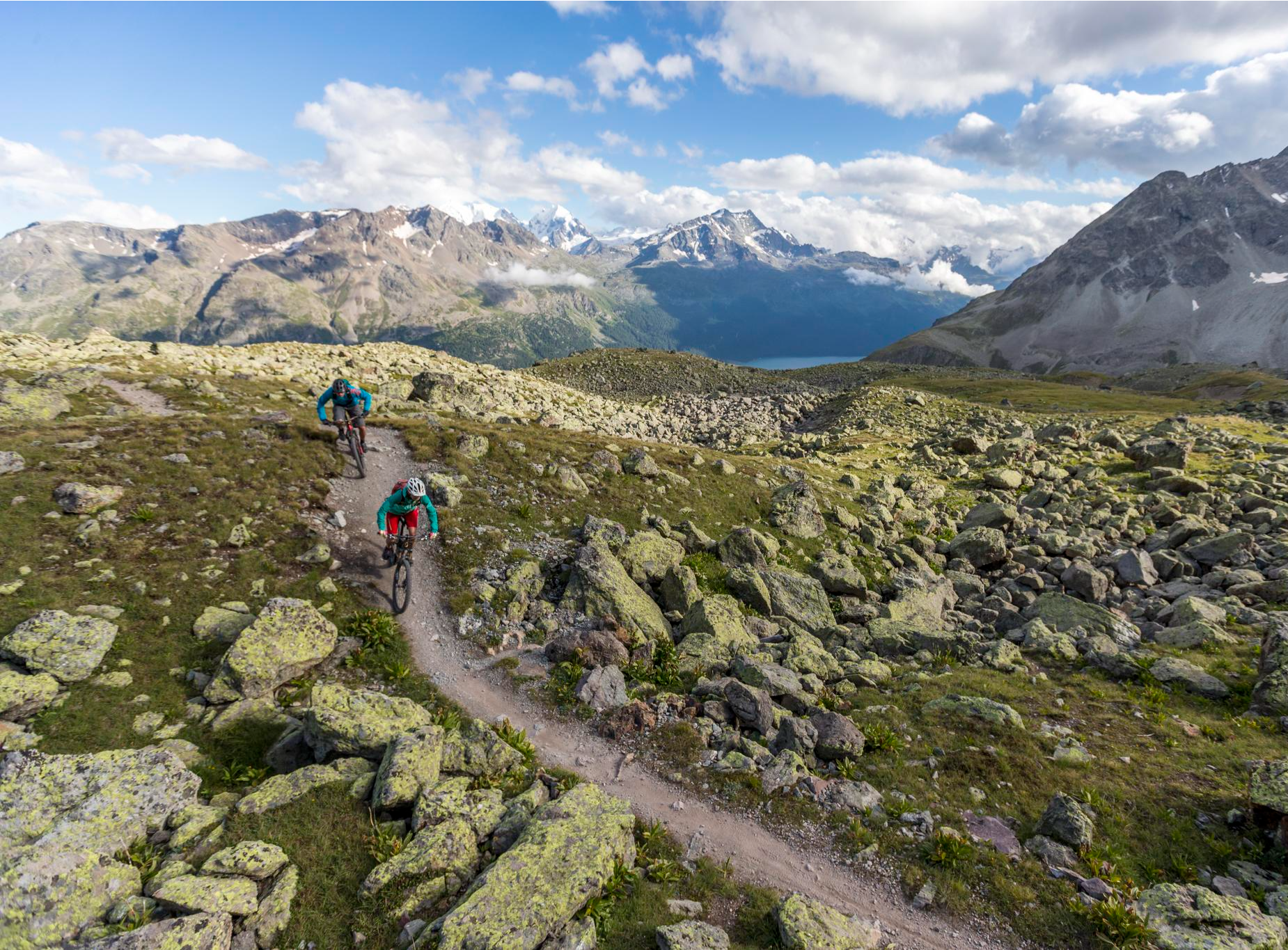
Consideration on the trails – it just makes sense!
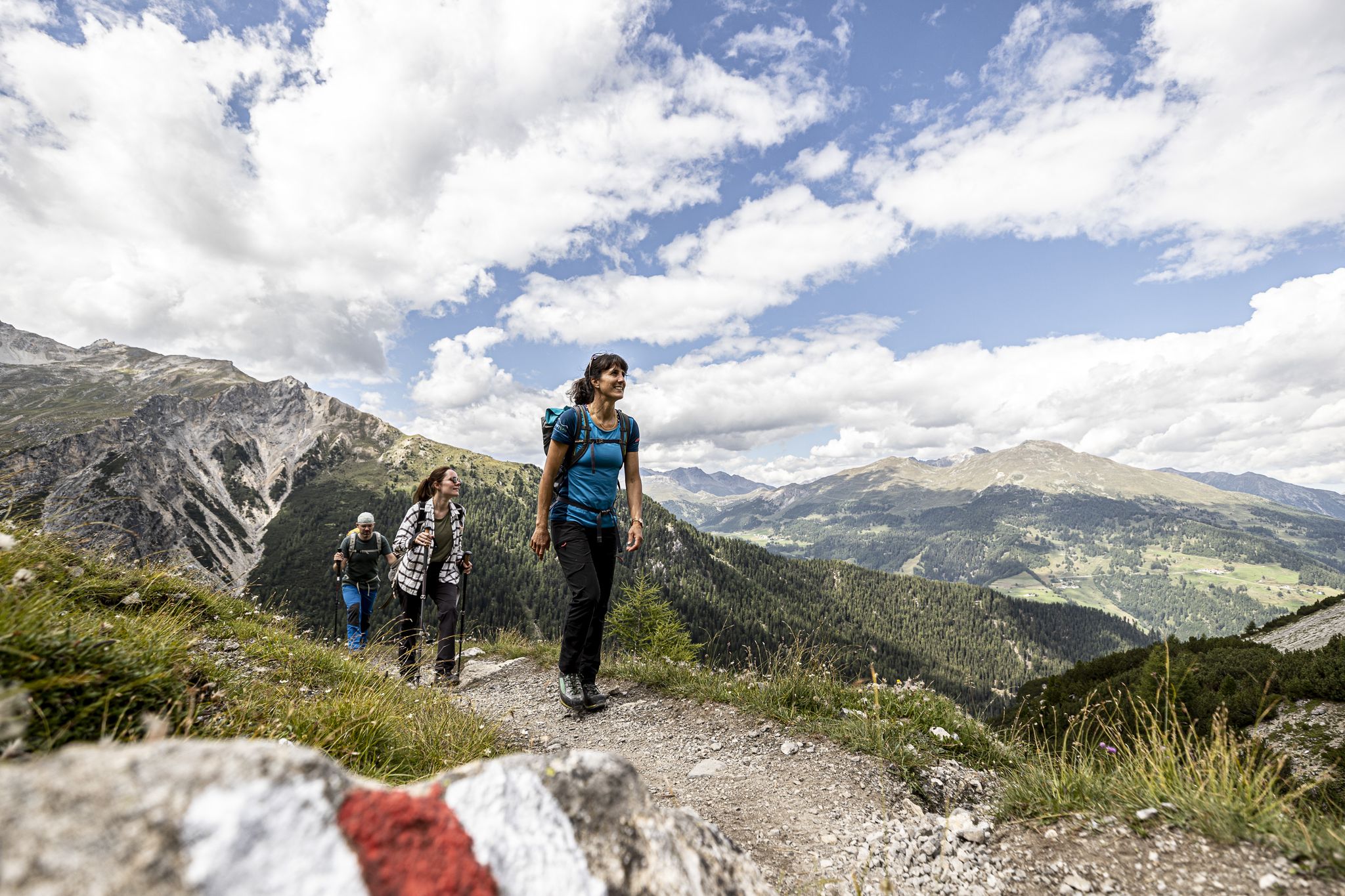
Biking, running, hiking – Pure Alpine Trails
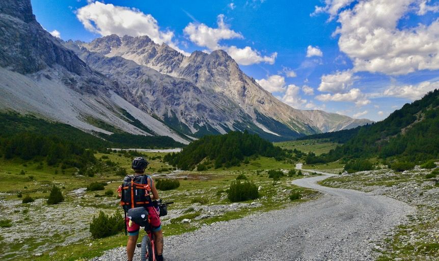
gravELLE x komoot Women's Bikepacking Weekender – Marmot's Land
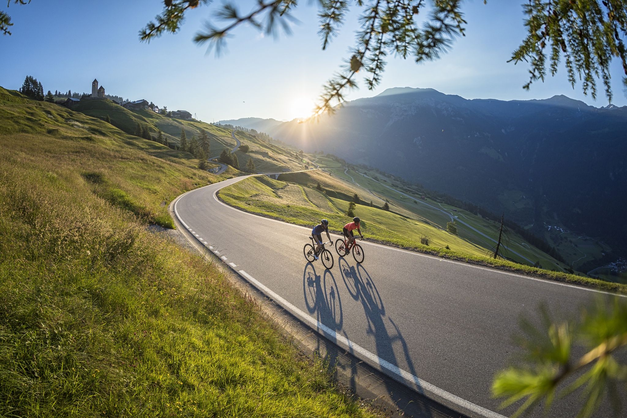
A cyclists’ menu – road cycling in Switzerland’s Grisons

On ancient paths towards Santiago — the Way of St. James Graubünden
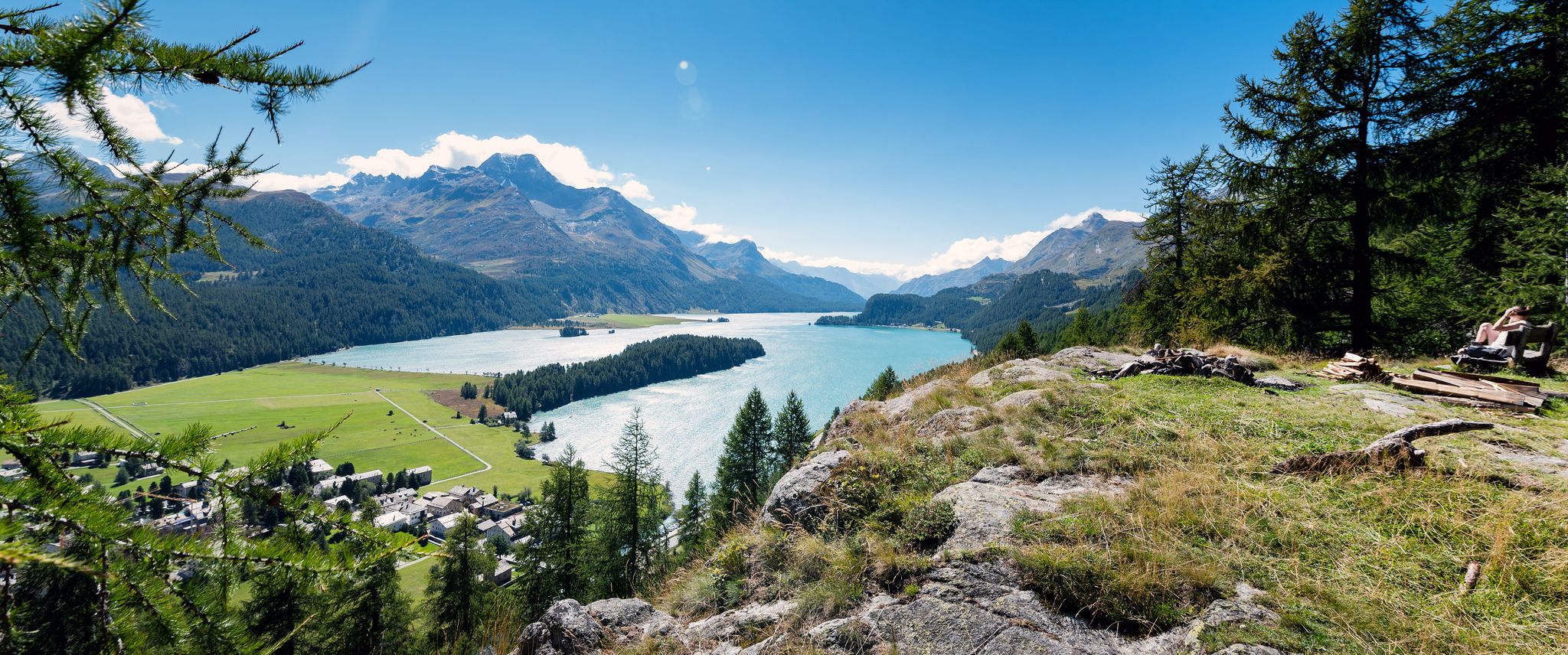
A tranquil and inspiring hike through the Engadin – Via Engiadina
Other adventures around Zernez


Tips from the Community


Nicely located. Very friendly hut team with great food
0
0

Frequently Asked Questions
How many mountaineering routes are available around Zernez?
Zernez offers a comprehensive network of over 20 mountaineering routes. These trails cater to various skill levels, with 6 routes classified as moderate and 16 as difficult, ensuring a suitable challenge for most mountaineers.
What is the best time of year for mountaineering in Zernez?
The prime season for mountaineering in Zernez typically aligns with late spring through early autumn, when alpine conditions are most favorable. During this period, trails are generally free of snow, and the weather is more stable, offering the best experience for exploring the diverse mountainous terrain and enjoying the breathtaking panoramas.
What kind of terrain can I expect on mountaineering routes near Zernez?
Mountaineering routes around Zernez feature a diverse range of terrain, characteristic of high alpine environments. You can expect to encounter gravel paths, rocky sections, and forested areas. The region's proximity to the Swiss National Park means trails often traverse rugged slopes and offer dramatic alpine landscapes.
Are there beginner-friendly mountaineering routes in Zernez?
Yes, Zernez offers several moderate mountaineering routes suitable for those with some experience or looking for a less strenuous challenge. One such route is the Alp Stabelchod – Margunet Viewpoint loop from Swiss National Park, which covers 7.2 km and takes approximately 2 hours 37 minutes to complete.
What natural landmarks or points of interest can I discover along mountaineering routes in Zernez?
The Zernez region, as a gateway to the Swiss National Park, is rich in natural beauty. Along various routes, you might encounter stunning features such as the serene Lai Nair (Black Lake), or traverse significant mountain passes like the Scaletta Pass and the Winterlücke Pass (2,787 m). The charming Bos-Cha Hamlet also offers a glimpse into local alpine life.
Are there any permits required for mountaineering in the Zernez area, especially within the Swiss National Park?
While the region around Zernez offers extensive mountaineering opportunities, it's important to note that the Swiss National Park, which Zernez borders, is a strictly protected wilderness area. Access within the park itself might have restrictions to preserve its pristine nature. For specific regulations regarding permits or restricted areas within the park, it is advisable to consult the official Swiss National Park website or local information centers.
What do other mountaineers enjoy most about the routes in Zernez?
The mountaineering routes in Zernez are highly regarded by the komoot community, boasting an average rating of 4.8 stars from over 30 reviews. Mountaineers frequently praise the unspoiled alpine landscapes, the diverse and challenging terrain, and the unique experience of exploring a region that serves as a gateway to Switzerland's only National Park. The opportunity for wildlife sightings, such as ibex and marmots, also adds to the allure.
Are there any circular mountaineering routes available near Zernez?
Yes, several circular routes are popular among mountaineers in the Zernez area. A notable example is the Source of the Inn River – Flüela Schwarzhorn loop from Flüelapass, a moderate 9.3 km trail. Another challenging option is the Flüela Schwarzhorn – Source of the Inn River loop from Schwarzhorn, a difficult 11.6 km path with significant elevation gain.
Can I expect to see wildlife while mountaineering around Zernez?
Absolutely. As Zernez is a gateway to the Swiss National Park, the region is renowned for its rich biodiversity. Mountaineers often have the chance to observe alpine wildlife in their natural habitat, including ibex, chamois, and marmots. The untouched alpine environments provide excellent opportunities for wildlife spotting, adding an extra dimension to the mountaineering experience.
What should I pack for a mountaineering trip in Zernez?
Given the variable terrain and high alpine environment around Zernez, appropriate preparation is crucial. Essential items include sturdy hiking boots, sufficient water (as sources can be sparse), weather-appropriate layers of clothing, sun protection, and a map or GPS device. For more challenging routes, consider bringing trekking poles and emergency supplies. Always check the weather forecast before heading out.
Are there any particularly long or challenging mountaineering routes for experienced climbers?
For experienced mountaineers seeking a significant challenge, Zernez offers several difficult routes. The Piz Linard – Upper Section of the Couloir loop from Lavin is a demanding 15.1 km trail, often taking over 8 hours to complete, leading through challenging alpine couloirs and high mountain passes. Another difficult option is the View from Munt la Schera loop from Il Fuorn, spanning over 18 km.
Is Zernez recognized as a special destination for mountain sports?
Yes, Zernez is part of a 'mountaineering village' initiative. This recognition highlights its dedication to gentle tourism, high-quality natural and cultural landscapes, and its support for versatile mountain sports opportunities. It underscores the region's commitment to the careful use of the mountain environment and strengthening regional value creation, making it an ideal base for mountaineering enthusiasts.
Most popular attractions around Zernez

Get inspired with the komoot mobile app


Explore more
Browse the best Mountain Hikes & Routes in other regions.
