The best walks and hikes around Aston
4.5
(287)
3,374
hikers
33
hikes
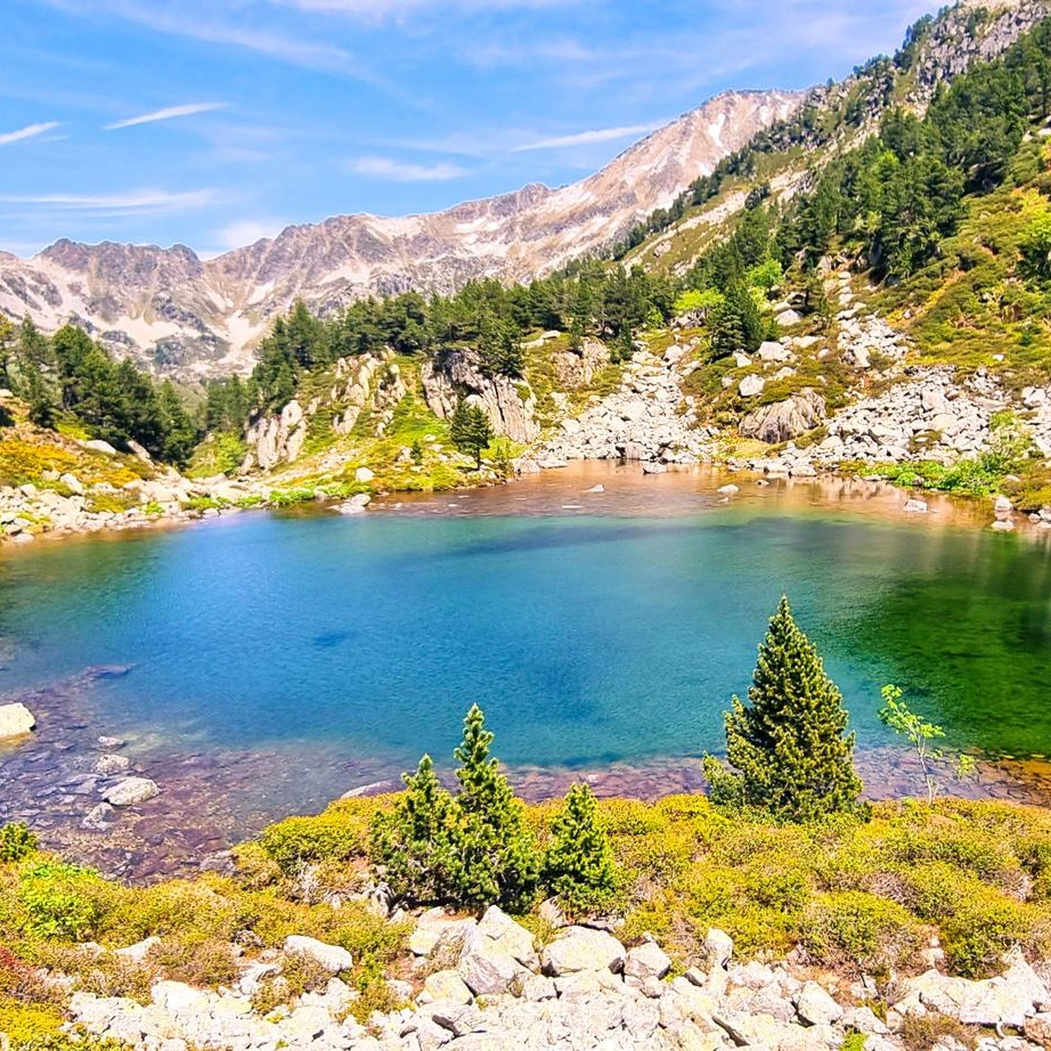
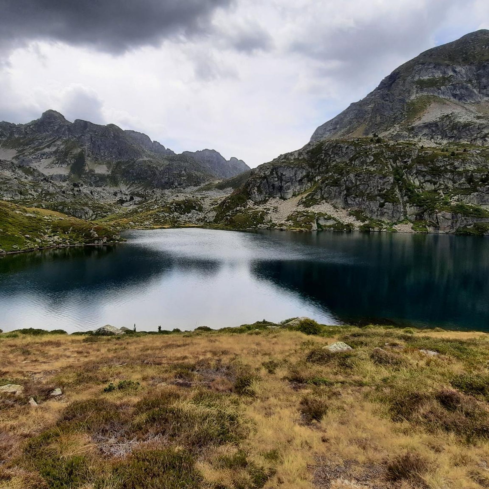
Hiking around Aston offers access to the high-mountain landscapes of the French Pyrénées. The region is characterized by alpine terrain, featuring numerous high-altitude lakes, prominent peaks, and mountain passes. Hikers can explore a network of trails that traverse plateaus and ascend to scenic viewpoints.
Best hiking trails around Aston
- The most popular hiking route is Etangs de Fontargente – loop starting from the Pla de las Peyres car park, a 5.2 miles (8.3 km) trail that takes 3 hours…
Last updated: July 20, 2026
4.7
(33)
338
hikers
8.32km
03:34
450m
450m
Moderate hike. Good fitness required. Mostly accessible paths. Sure-footedness required.
4.8
(4)
28
hikers
15.6km
07:29
1,160m
1,160m
Hike the difficult 9.7-mile Fontargente and l'Estagnol Lakes Loop, featuring emerald lakes and Pyrenean mountain views.

Sign up for free
4.8
(16)
166
hikers
14.4km
06:06
780m
780m
Hard hike. Very good fitness required. Mostly accessible paths. Sure-footedness required.
4.7
(13)
164
hikers
12.1km
05:10
600m
600m
Hard hike. Very good fitness required. Mostly accessible paths. Sure-footedness required.
5.0
(2)
84
hikers
6.90km
03:15
450m
450m
Moderate hike. Good fitness required. Mostly accessible paths. Sure-footedness required.
Get access to more routes and recommendations from other explorers.
Sign up for free
Already have an account?
Our route recommendations are based on thousands of hikes, rides, and runs completed by other people on komoot.
Start today with a free account
Your next adventure awaits.
Login or Signup




Tips from the Community

There was good vegetarian food and a delicious dessert. Hot showers are available until 6 p.m. There's no real drying room. If the hut is full and all the hikers have to dry their shoes by the fireplace, expect to have to wear wet clothes and shoes the next morning. Unfortunately, there was only one used newspaper for over 50 pairs of wet shoes 🤷
1
0


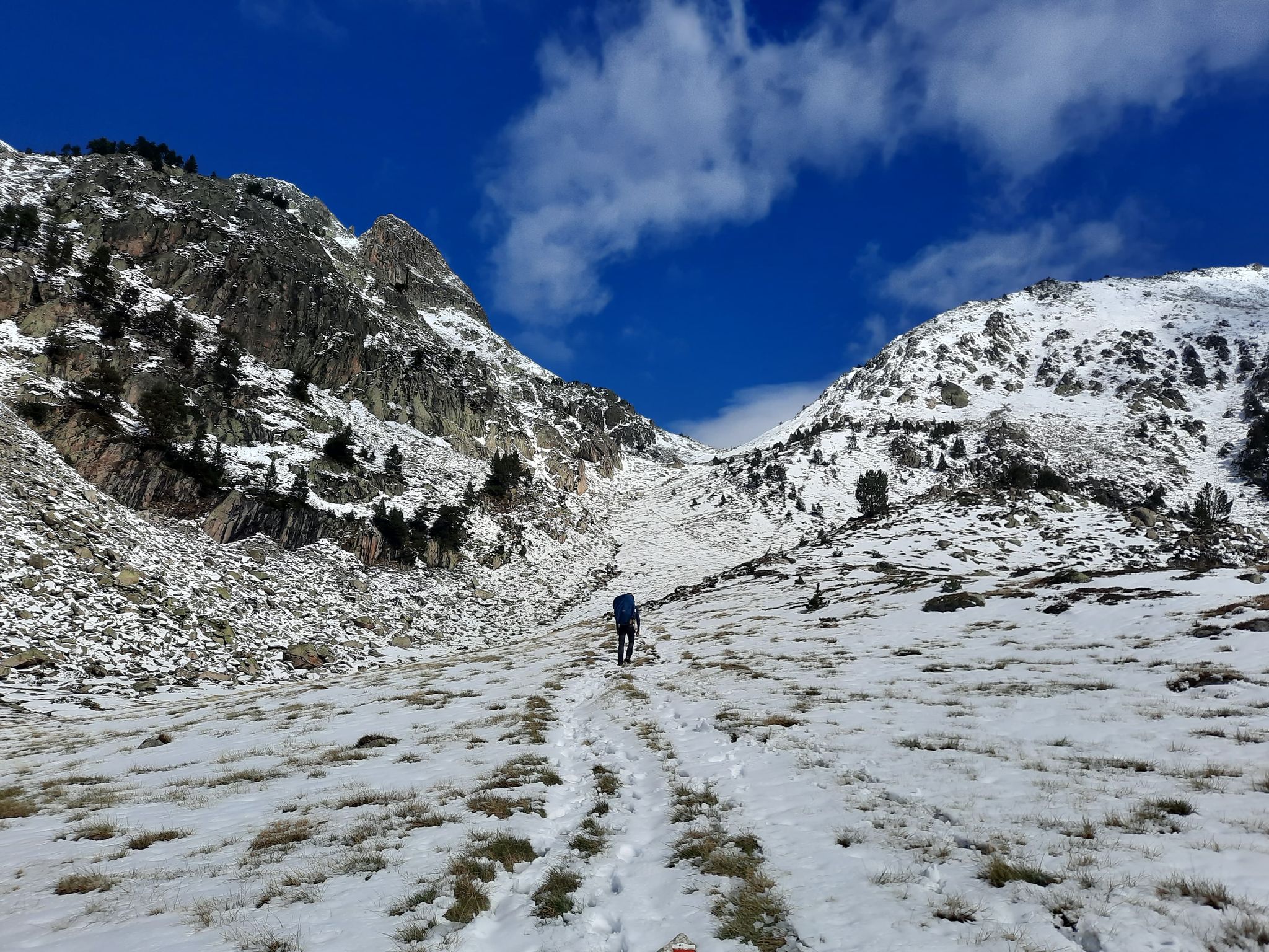
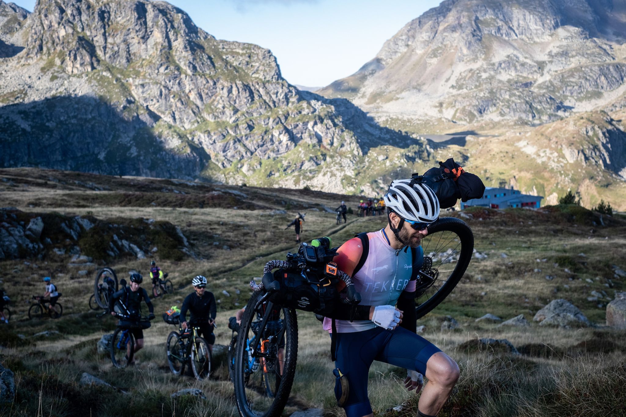
Magnificent landscapes, the climb is really worth it!! Breathtaking, we are more used to arriving in this kind of place on foot, well we can also do it by bike and we should not deprive ourselves!
0
0

We were very well received! Possibility to pitch a tent, WC available outside and hot shower at 3 euros for 4 minutes ;) you can also book to sleep inside and eat :)
1
0

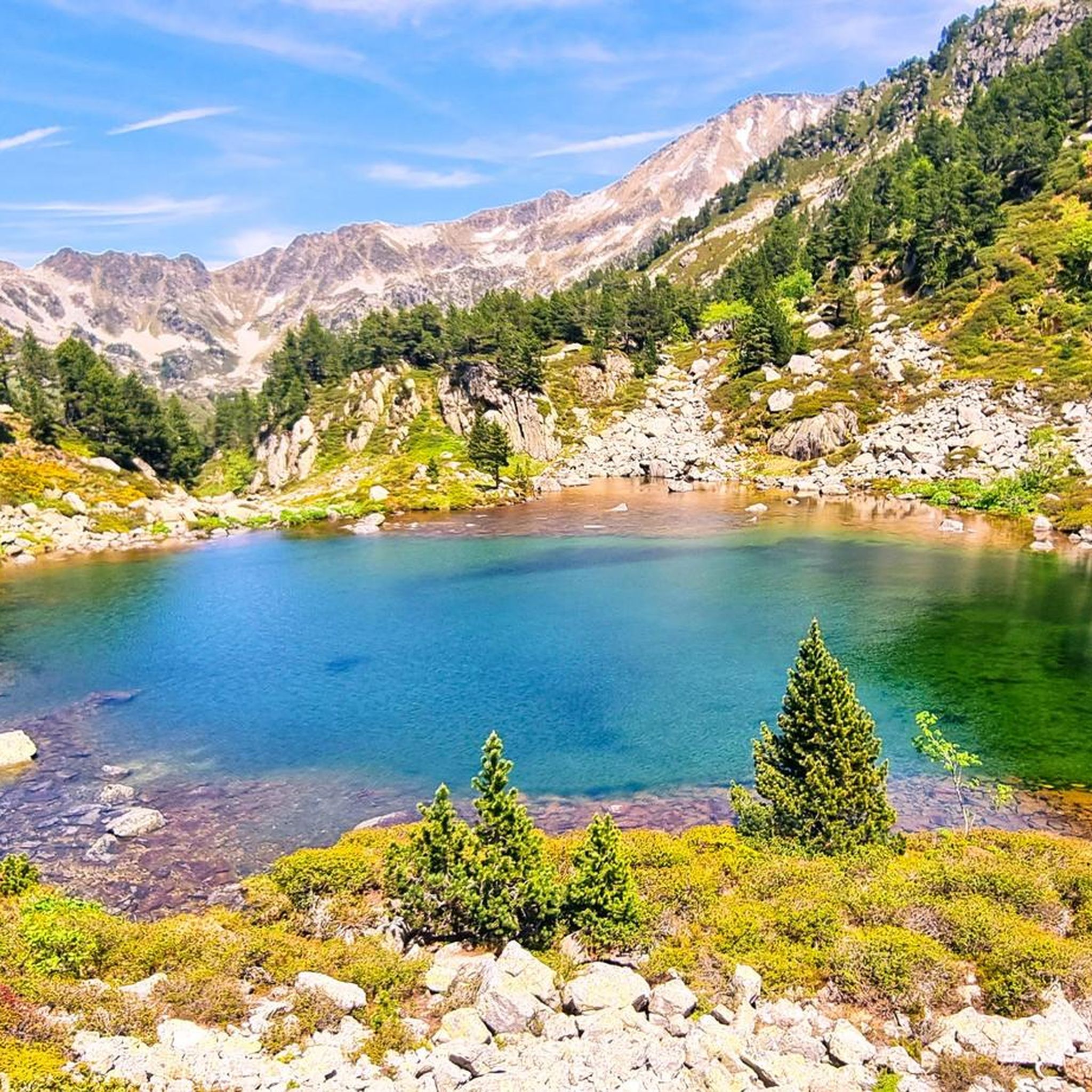
Pure relaxation at 2,300m altitude.
1
0

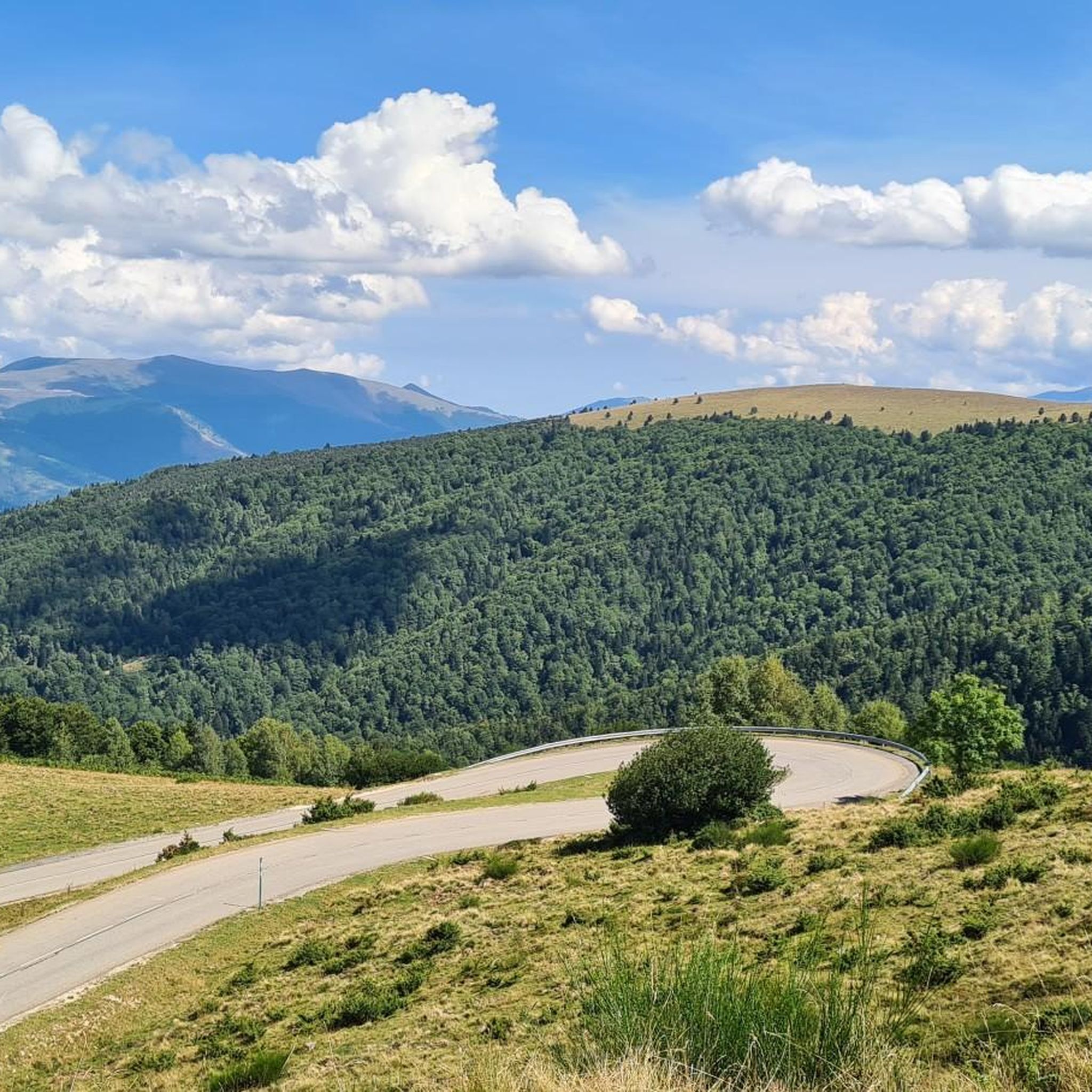
The Port d’Incles (also known as Port de Fontargent because of the lake on the French side) is the lowest pass (2,261 meters) between Andorra and France. It is the highest point on the route from Soldeu to Foix.
0
0

Ruins of a small stone mountain hut on Plateau, near the Juclar ponds and the crossing into France via the Col de l'Alpe, beyond the ponds.
0
0
Frequently Asked Questions
What kind of hiking trails can I expect to find around Aston?
Hiking around Aston primarily features high-mountain landscapes in the French Pyrénées. You'll find a network of trails traversing alpine terrain, prominent peaks, and mountain passes, often leading to high-altitude lakes. The routes range from moderate to difficult, catering to various experience levels.
Are there any easy hiking trails suitable for beginners or families in Aston?
While Aston's terrain is generally alpine and challenging, there are moderate options available. For instance, the Etangs de Fontargente – loop starting from the Pla de las Peyres car park is a moderate 5.2-mile (8.3 km) trail that takes about 3 hours 33 minutes, leading through a scenic high-altitude landscape with mountain lakes. There are 15 moderate routes in total.
What do other hikers say about the trails in Aston?
The hiking routes in Aston are highly regarded by the komoot community, holding an average rating of 4.5 stars from over 270 reviews. Hikers frequently praise the stunning high-mountain scenery, the challenge of the alpine terrain, and the beauty of the numerous mountain lakes.
Are there any circular hiking routes around Aston?
Yes, many of the trails around Aston are designed as loops. A popular moderate circular route is the Etangs de Fontargente loop. For a more challenging option, consider the Pic de Rulhe, Col d'Albe loop, which offers expansive views from a prominent peak.
What are some scenic viewpoints or natural attractions to see while hiking in Aston?
Aston's high-mountain environment offers numerous scenic vistas. You can expect panoramic views from prominent peaks like Pic de Rulhe, and stunning high-altitude lakes such as the Etangs de Fontargente. The region is also home to beautiful gorges like Vall del Riu Valley and Incles Valley, and the Rialb River.
Are there any mountain huts or refuges along the trails in Aston?
Yes, the Aston area features several mountain huts that can serve as rest stops or overnight accommodations on longer treks. Notable refuges include Juclà Refuge, Rulhe Refuge, and Cabana Sorda Refuge. These are often integrated into multi-day routes like the Rulhe Refuge – Juclà Refuge loop.
What is the best time of year to go hiking in Aston?
Given Aston's high-mountain alpine environment in the Pyrénées, the best time for hiking is typically during the warmer months, from late spring to early autumn (roughly June to September). During this period, snow has usually melted from higher elevations, and weather conditions are generally more stable and pleasant for mountain trekking.
Are there options for challenging hikes in Aston?
Absolutely. Aston is known for its challenging alpine routes. There are 16 difficult trails available. An example is the Pic de Rulhe, Col d'Albe loop, a 9.7-mile (15.6 km) path that ascends to a prominent peak and crosses a mountain pass, requiring good fitness and experience.
Are there any trails under 5 miles in Aston?
Yes, there are several trails under 5 miles (8 km) in Aston, though they are generally still rated as moderate due to the alpine terrain and elevation changes. The Etangs de Fontargente loop is a good example, measuring 5.2 miles (8.3 km) and offering a rewarding experience without being excessively long.
Is there parking available at the trailheads in Aston?
Many of the popular hiking routes in Aston, especially those leading to high-altitude areas, start from designated car parks. For example, several prominent trails, including the Etangs de Fontargente loop and the Pic de Rulhe, Col d'Albe loop, begin from the Pla de las Peyres car park, providing convenient access for hikers.
What should I wear for hiking in Aston's high-mountain environment?
When hiking in Aston's high-mountain Pyrénées, it's crucial to be prepared for variable conditions. We recommend wearing layers, including moisture-wicking base layers, insulating mid-layers, and a waterproof and windproof outer shell. Sturdy hiking boots with good ankle support are essential, along with a hat, gloves, and sun protection. Always carry enough water, snacks, and a map or GPS device.
Are there any long-distance trails or multi-day hiking options in Aston?
Yes, Aston's network of trails and mountain refuges lends itself well to longer excursions. Routes like the Rulhe Refuge – Juclà Refuge loop, which is 8.9 miles (14.4 km) and takes over 6 hours, can be part of a multi-day adventure by utilizing the various huts in the area. These longer routes allow you to explore more of the alpine valleys and high-mountain passes.
Most popular attractions around Aston

Get inspired with the komoot mobile app


Explore more
Browse the best Hikes in other regions.
