The best running trails around Scharans
4.6
(89)
2,372
runners
145
runs
Jogging routes around Scharans are situated within the picturesque Domleschg valley in Graubünden, Switzerland. The region features a wide valley floor, historical castles, and well-maintained trails, including dedicated Helsana Trails. This diverse landscape offers a mix of natural beauty and cultural landmarks for runners. The terrain varies from gentle valley paths to more challenging ascents in the surrounding mountainous backdrop.
Best jogging routes around Scharans
- The most popular jogging route is Vitaparcours Zurich loop from Rodels-Realta, a 5.6 miles…
Last updated: May 11, 2026
5.0
(2)
63
runners
9.13km
01:01
40m
40m
Moderate run. Good fitness required. Mostly paved surfaces. Suitable for all skill levels.
4.0
(1)
46
runners
7.54km
00:50
60m
60m
Moderate run. Good fitness required. Mostly paved surfaces. Suitable for all skill levels.

Sign up for free
31
runners
21.1km
02:14
200m
200m
Hard run. Very good fitness required. Mostly paved surfaces. Suitable for all skill levels.
5.0
(1)
25
runners
5.28km
00:35
20m
20m
Moderate run. Good fitness required. Mostly paved surfaces. Suitable for all skill levels.
5.0
(1)
26
runners
5.74km
00:39
20m
20m
Moderate run. Good fitness required. Mostly paved surfaces. Suitable for all skill levels.
Get access to more routes and recommendations from other explorers.
Sign up for free
Already have an account?
Our route recommendations are based on thousands of hikes, rides, and runs completed by other people on komoot.
Start today with a free account
Your next adventure awaits.
Login or Signup
Popular around Scharans
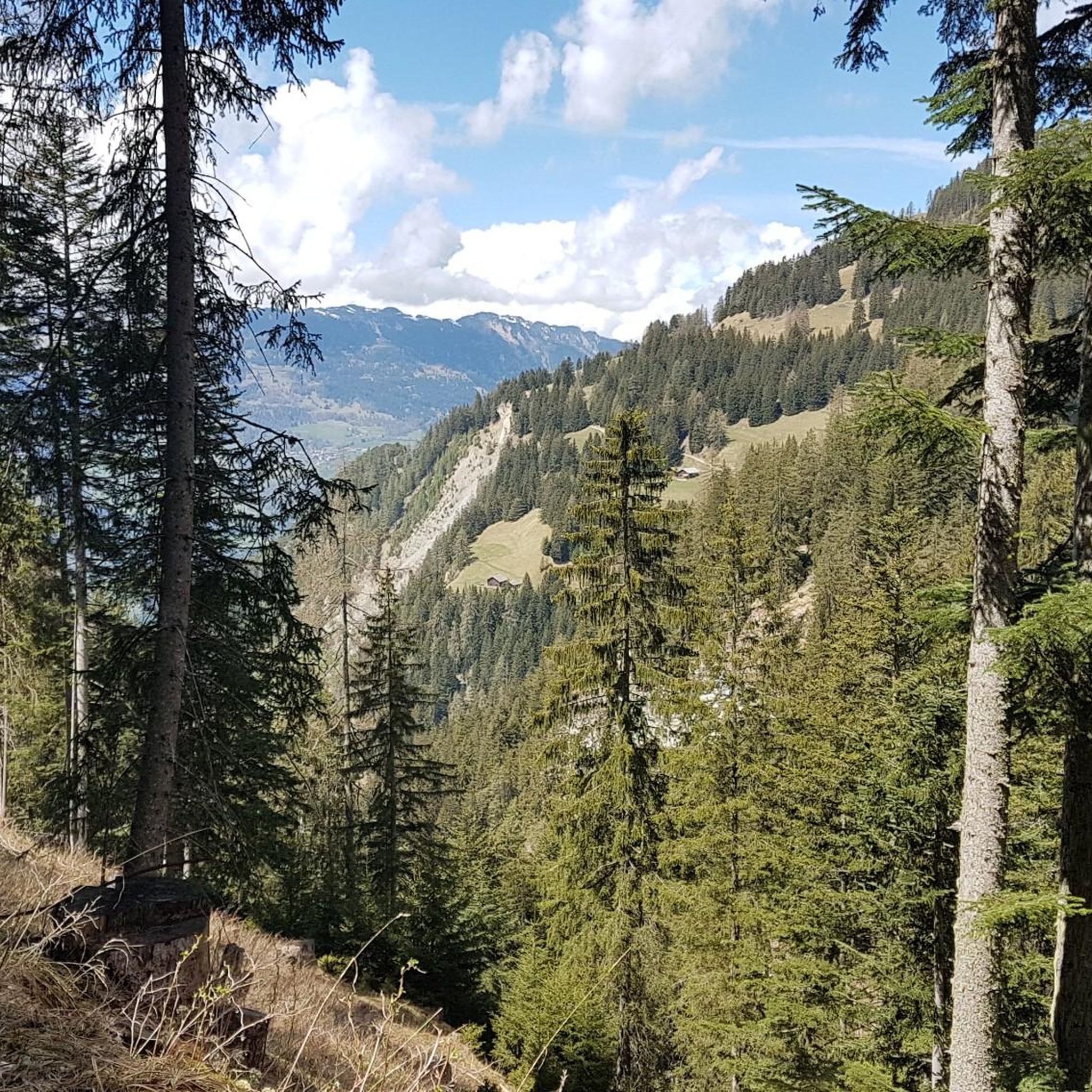
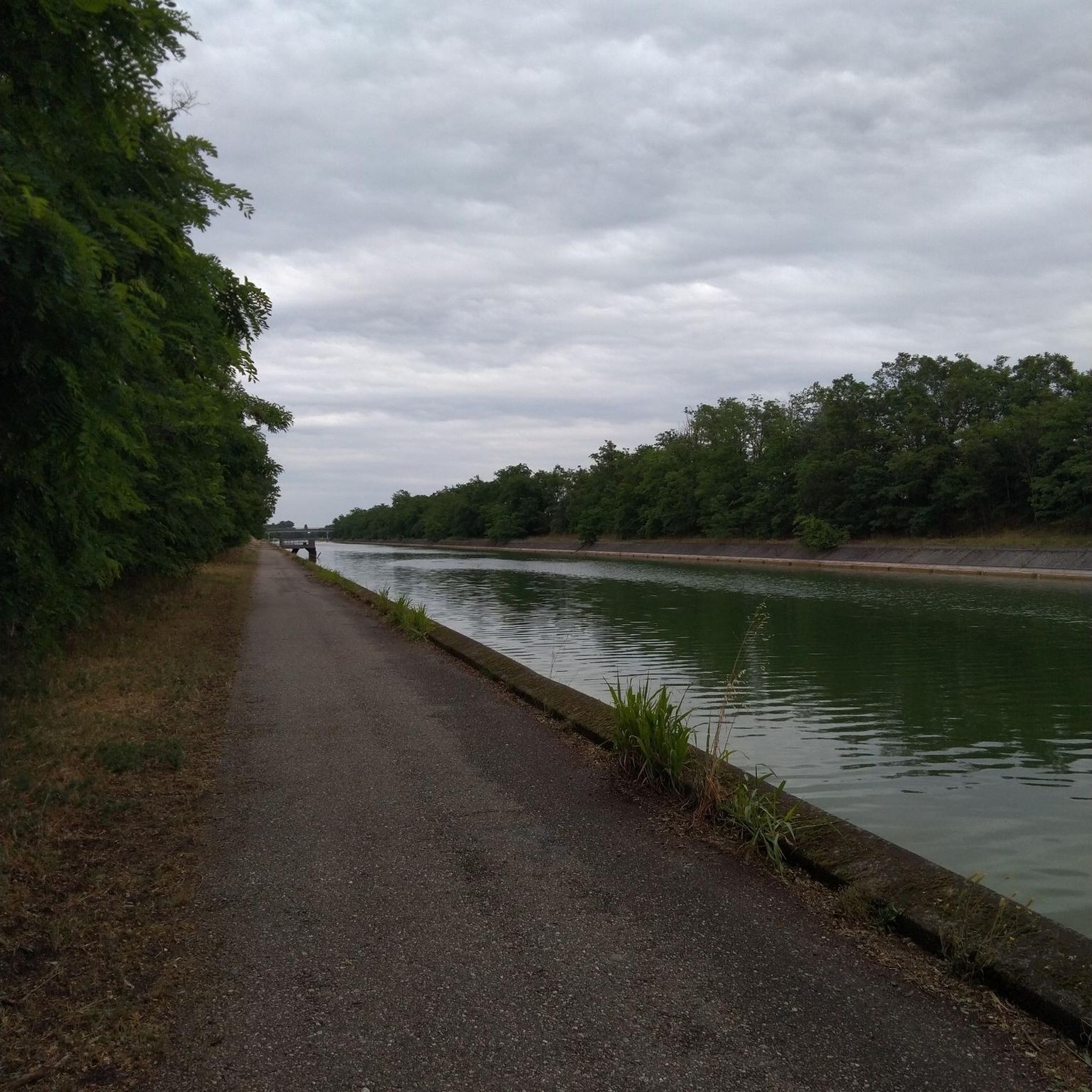
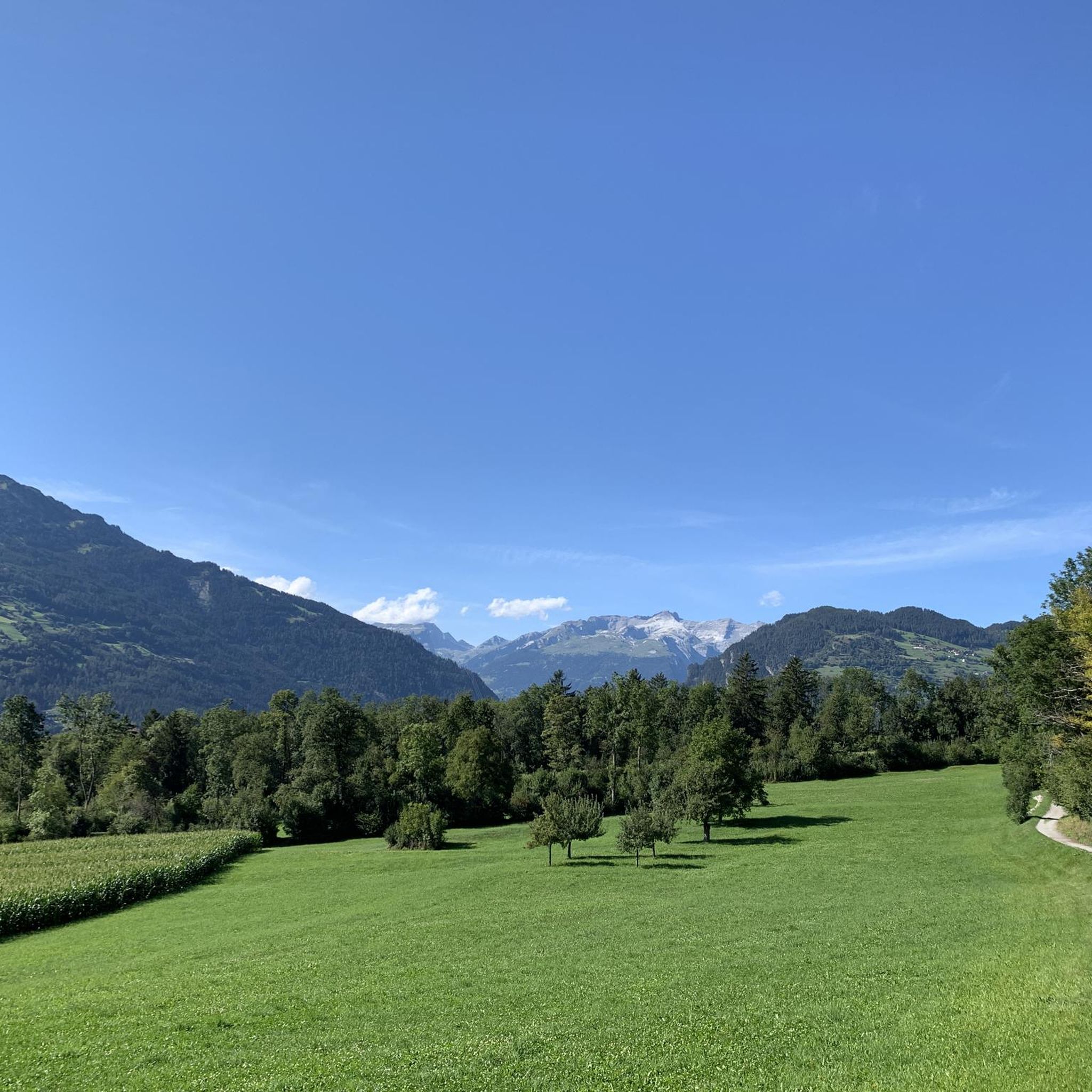
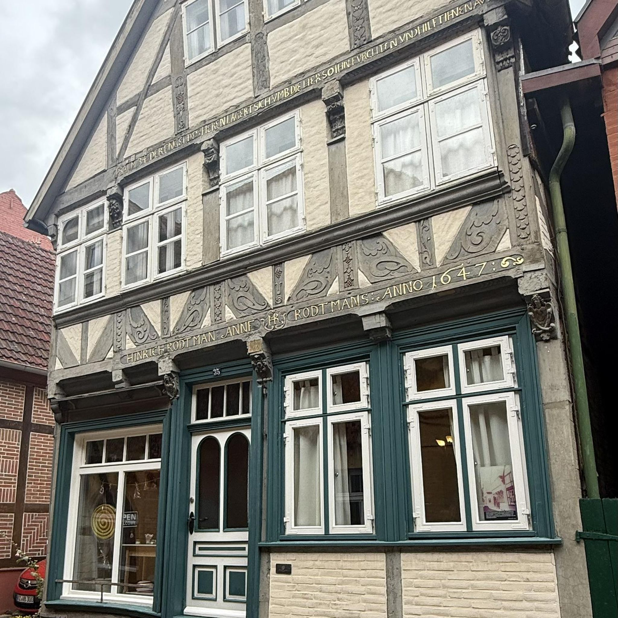


Tips from the Community

Clà Ferrovia was also on the move at Thusis train station. Can you find the QR code?
0
0

Excellent and functional train station
0
0

If the moment is right, you can also take a nice photo of the Hinterrhein. But please don't block the bridge. There is just enough room for one bicycle.
0
0

Thusis station is the terminus of the Landquart - Thusis line and a station of the Rhaetian Railway on the Albula line for express trains coming from Chur to St. Moritz. Officially, the Albula line only begins here, but in reality the express trains on the Albula line continue to Chur or are used there.
2
0

Thusis train station is located at an altitude of 697 meters in the Rhine Valley of Graubünden. The meter-gauge Rhaetian Railway serves the Thusis-Reichenau-Chur, Thusis-Landquart, Abula line.
4
0

A drawbridge takes the hiker across the Rhine.
2
0

A bit wobbly😁
0
0

Fascinatingly different travel since 1889 With our unique mountain routes, the UNESCO World Heritage, the Glacier Express and Bernina Express, we have been guaranteeing fascinating railway experiences across Graubünden since 1889. Our world-famous railway is an integral part of one of the most beautiful landscapes in Switzerland. What began in 1889 with the opening of the route from Landquart to Klosters is now a 385-kilometer-long route network in the middle of the Swiss high mountains. Harmoniously embedded in the wild nature, the railway lines and engineering structures contribute to the charm of Graubünden. In 1888, Graubünden railway pioneers realized their idea of a mountain railway. On the initiative of the Dutchman Willem-Jan Holsboer, they founded the narrow-gauge railway Landquart-Davos AG. The groundbreaking ceremony took place in the same year, and in 1889 the Landquart - Klosters railway line opened. The first steam trains ran from Landquart to Davos as early as 1890. The routes to St. Moritz, Disentis and Scuol-Tarasp were added later. Thanks to the mergers with the Arosa and Bernina railways, the route network expanded. Text / Source: Rhaetian Railway AG, Bahnhofstrasse 25, CH - 7001 Chur https://www.rhb.ch/de/unternehmen/portraet/geschichte
15
0
Frequently Asked Questions
How many running routes are available around Scharans?
There are nearly 150 running routes around Scharans, offering a diverse range of options for all abilities. This includes 11 easy routes, 69 moderate routes, and 68 more challenging trails.
What kind of scenery can I expect on the jogging trails in Scharans?
Jogging routes in Scharans are set within the picturesque Domleschg valley, offering a mix of natural beauty and cultural landmarks. You'll encounter wide valley floors, historical castles like Rietberg Castle, and tranquil spots such as Canovasee. The surrounding region also features dramatic landscapes near the Viamala Gorge and a stunning mountainous backdrop.
Are there easy running routes suitable for beginners in Scharans?
Yes, Scharans offers 11 easy running routes perfect for beginners or those looking for a gentle jog. These trails often follow the wide valley floor of the Domleschg, providing a pleasant experience without significant elevation changes.
Are there any circular running routes in Scharans?
Many of the running routes in Scharans are designed as loops, allowing you to start and finish at the same point. For example, the Running loop from Fürstenau is a moderate 5.3 km circular path, ideal for a scenic run.
What do other runners enjoy most about jogging in Scharans?
The running routes in Scharans are highly rated by the komoot community, with an average score of 4.6 stars from over 90 reviews. Runners often praise the well-maintained paths, the varied scenery combining natural beauty with historical sights, and the options available for different fitness levels.
Can I bring my dog on the running trails in Scharans?
Yes, many of the trails in the Scharans area are dog-friendly, allowing you to enjoy your run with your canine companion. It's always a good idea to keep your dog on a leash, especially near livestock or in populated areas, and to check local regulations for specific routes.
Are there any family-friendly running routes in Scharans?
Scharans offers several routes suitable for families, particularly the easier and moderate trails that traverse the flat sections of the Domleschg valley. These paths provide a safe and enjoyable environment for families to run together, often passing by interesting sights like castles.
Where can I find parking for the running routes in Scharans?
Parking is generally available at various starting points for the running routes around Scharans. Specific parking information can often be found on individual route pages on komoot. For example, routes starting from towns like Cazis or Thusis typically have designated parking areas nearby.
Are there any historical landmarks or points of interest along the running trails?
Absolutely! The Domleschg valley is rich in history. While running, you might pass by several historical castles such as Rietberg Castle or the Reformed Church of Scharans. The broader region also features numerous ruins like Hohen Rätien and Alt Sins ruin, adding a cultural dimension to your run.
What is the best time of year to go running in Scharans?
Scharans offers excellent running conditions for much of the year. Spring and autumn provide pleasant temperatures and vibrant scenery. Summer is also great, especially in the mornings or evenings. Even in winter, many valley paths remain accessible and well-maintained, offering a unique snowy landscape for running.
Are there any challenging trail running options in the Scharans area?
For those seeking a more strenuous experience, Scharans and its mountainous backdrop offer challenging trail running options. With 68 difficult routes, you can find trails with significant elevation gain, leading towards peaks like Piz Scalottas or Piz Beverin, providing extensive views and a demanding workout.
Can I access the running routes using public transport?
Yes, many running routes in the Scharans area are accessible via public transport. Towns like Thusis, which serves as a starting point for routes like the Thusis Railway Station – Vitaparcours Zurich loop from Thusis, are well-connected, making it convenient to reach the trails without a car.
Are there any long-distance running trails around Scharans?
While many routes are moderate in length, you can find longer options or combine several trails for an extended run. For instance, the Vitaparcours Zurich loop from Masein is a challenging 20.7 km route, offering a substantial distance for endurance runners.
Most popular routes around Scharans
Most popular attractions around Scharans

Get inspired with the komoot mobile app


Explore more
Browse the best Running Trails & Routes in other regions.
