The best mountain hikes around Flerden
5.0
(7)
79
hikers
9
hikes
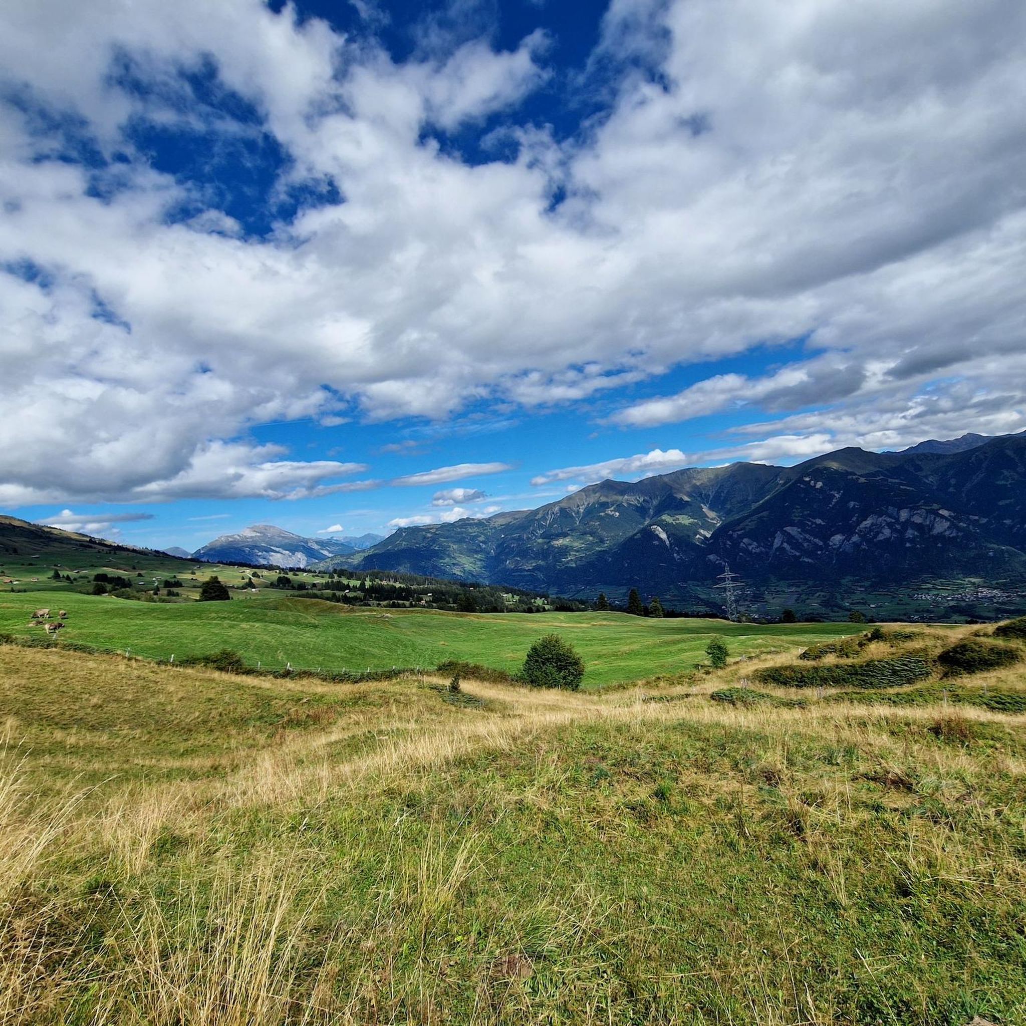
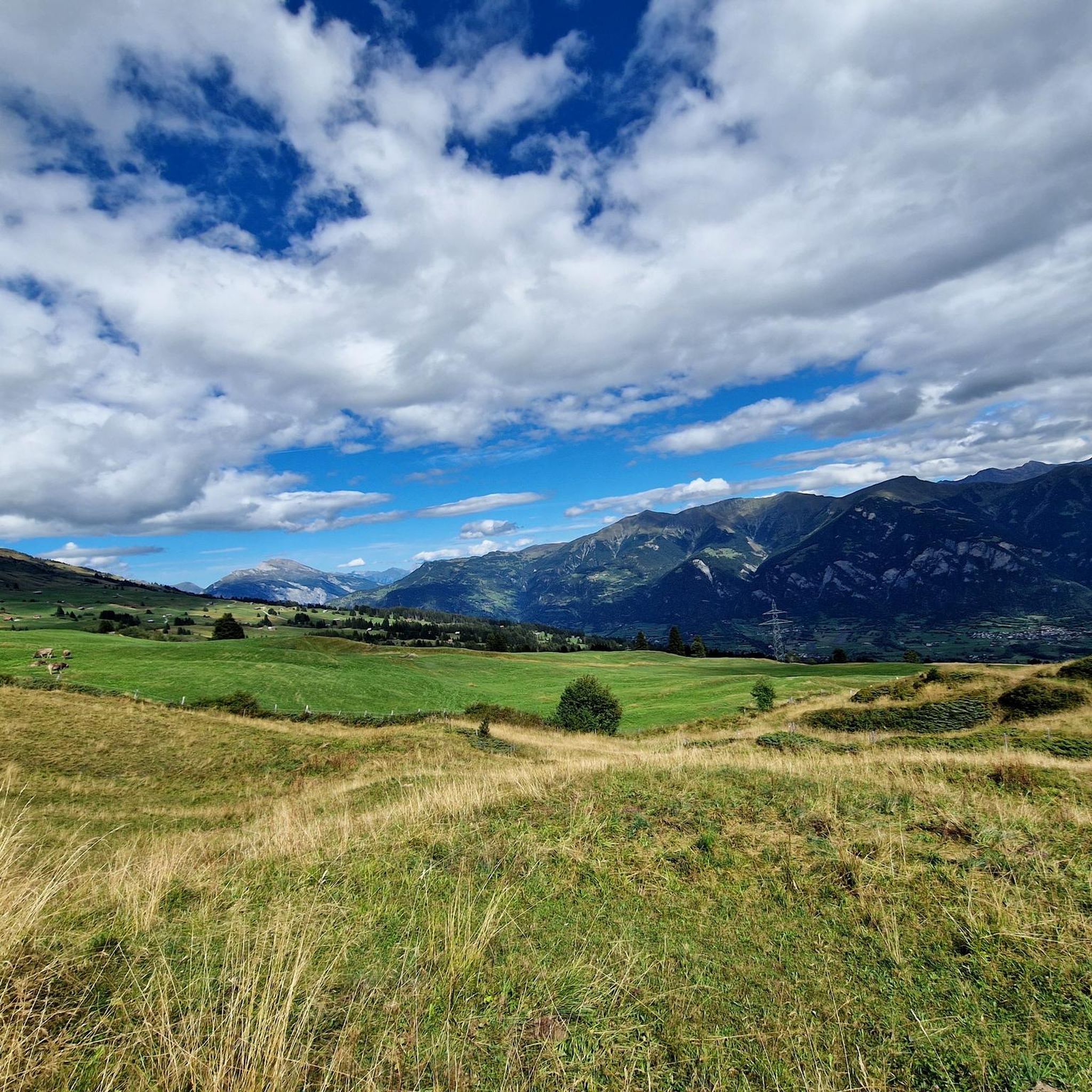
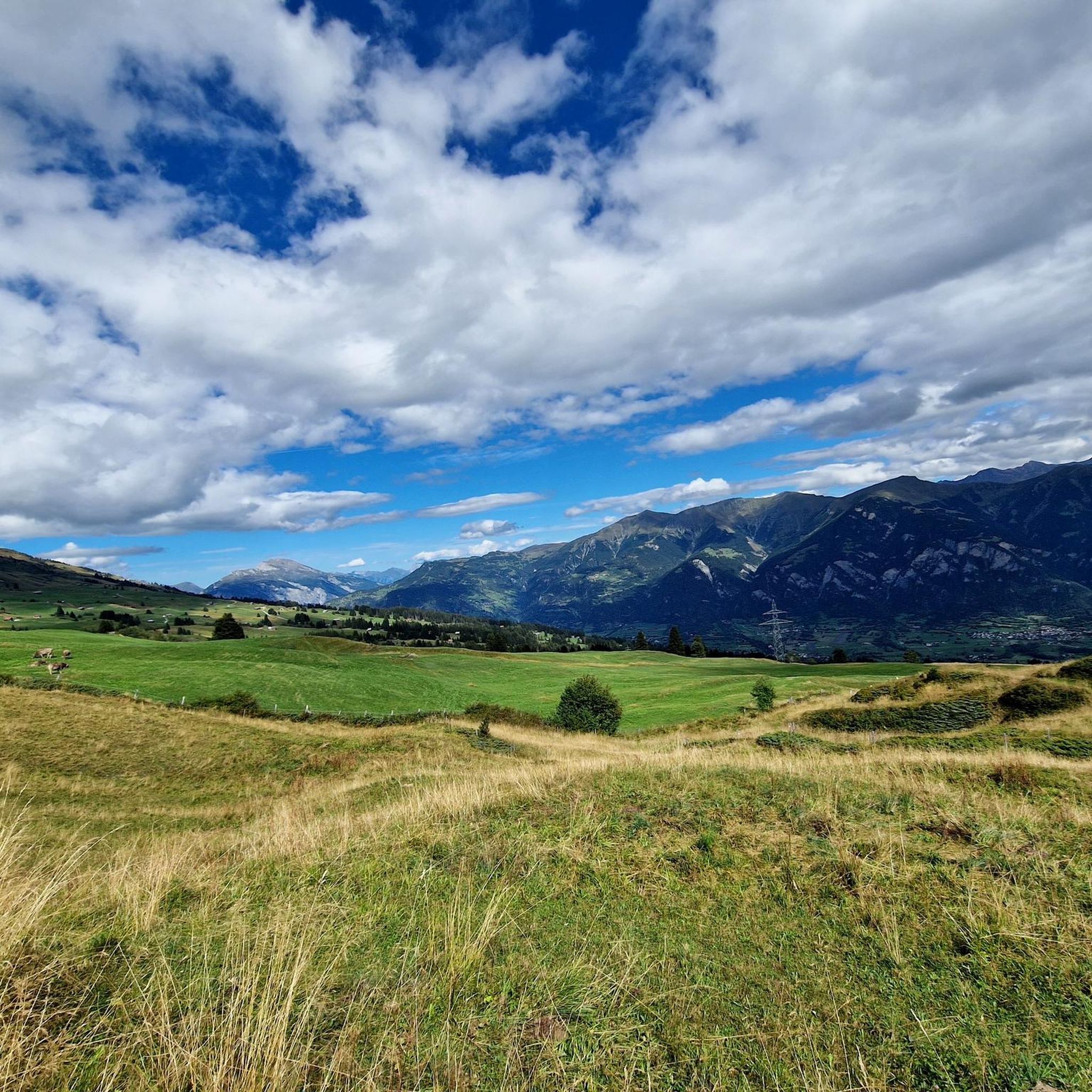
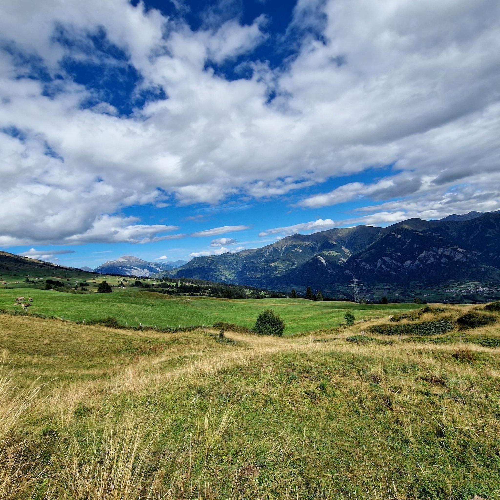
Mountaineering routes around Flerden are set within the Viamala region, characterized by its rugged alpine terrain and significant elevation changes. The landscape features prominent peaks, deep valleys, and a mix of rocky outcrops and forested slopes. This area offers challenging ascents and panoramic views typical of high-mountain environments.
Best mountaineering routes around Flerden
- The most popular mountaineering route is Cliffside Ladder loop from Donat, an 8.3 miles (13.3 km) trail that takes 7 hours 1 minute to complete. This…
Last updated: November 6, 2026
5.0
(1)
16
hikers
13.6km
07:09
1,420m
1,420m
Hard mountaineering route. Very good fitness required. Sure-footedness, sturdy shoes and alpine experience required.
5.0
(2)
19
hikers
11.1km
04:53
1,020m
1,020m
Hard mountaineering route. Very good fitness required. Easily walkable paths.

5.0
(2)
16
hikers
10.7km
07:05
1,120m
1,120m
Hard mountaineering route. Very good fitness required. Sure-footedness, sturdy shoes and alpine experience required.
5.0
(1)
11
hikers
16.2km
06:41
1,180m
1,180m
Hard mountaineering route. Very good fitness required. Sure-footedness, sturdy shoes and alpine experience required.
5
hikers
8.27km
03:42
610m
610m
Hard mountaineering route. Good fitness required. Sure-footedness, sturdy shoes and alpine experience required.
Get access to more routes and recommendations from other explorers.
Already have an account?
Our route recommendations are based on thousands of hikes, rides, and runs completed by other people on komoot.
Start today with a free account
Your next adventure awaits.
Tips from the Community

Fantastic view of the mountains and down into the Safiental valley.
0
0
A simple church with beautiful painting. The church tower with the shingles is also worth a look.
0
0

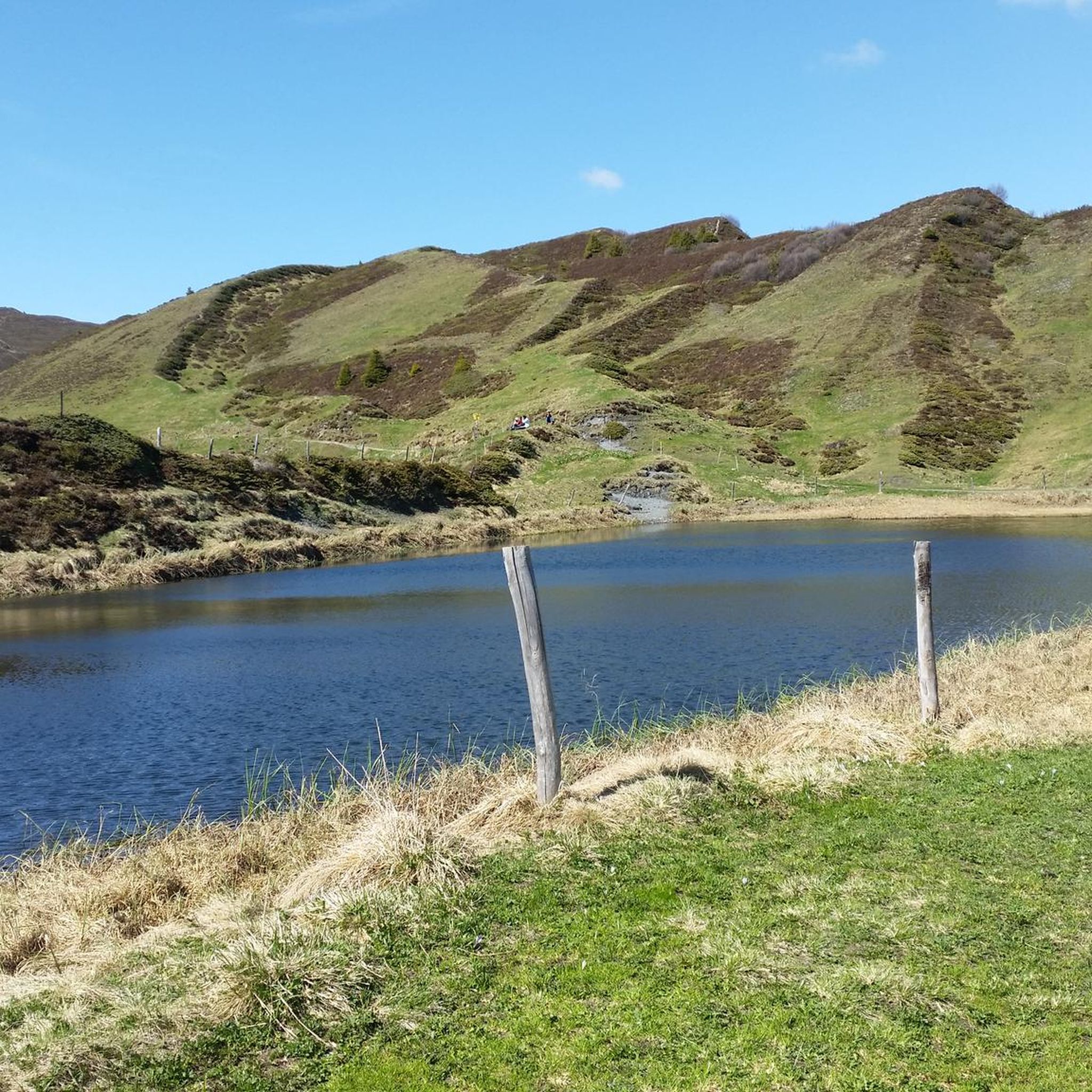
Lake in front of the Tenner Kreuz
1
0

Be sure to leave early on weekends! It fills up quickly, and turning around (when it's full) is no fun.
0
0
Beautifully rounded summit, often crowded, wide panoramic view
0
0

Next parking lot for the ascent to Piz Beverin
0
0

Mathon is located in the beautiful Viamala region and has around 50 inhabitants today. In addition to the pretty village center with its listed church, the ruins of the old St. Anthony's Church below the village are also fascinating to see.
0
0

Beautiful Romanesque church from 1408. Details can be found in Wikipedia "Reformed Church Tenna".
0
0
Frequently Asked Questions
What is the overall difficulty level of mountaineering routes around Flerden?
The mountaineering routes around Flerden are predominantly challenging. Out of 11 available routes, 7 are classified as difficult, 3 as moderate, and only 1 as easy. This region is best suited for experienced mountaineers seeking demanding ascents and rugged terrain.
Are there any easy mountaineering routes suitable for beginners in Flerden?
While most routes are challenging, there is one easy mountaineering route available around Flerden. It's important for beginners to assess their fitness and experience carefully, as even 'easy' mountaineering can involve significant elevation changes and uneven terrain in this alpine region.
What are the typical lengths and durations for mountaineering routes in Flerden?
Mountaineering routes in Flerden vary in length and duration. For example, the Cliffside Ladder loop from Donat is 8.3 miles (13.3 km) and takes around 7 hours. Another route, Bös Fess Summit loop from Tenna, is 6.9 miles (11.1 km) and typically takes about 4 hours 53 minutes. Expect routes to range from moderate distances to longer, full-day excursions.
Are there circular mountaineering trails available in Flerden?
Yes, several mountaineering routes in Flerden are circular, allowing you to start and end at the same point. Examples include the Cliffside Ladder loop from Donat, the Bös Fess Summit loop from Tenna, and the Piz Beverin – Glaspass loop from Glaspass.
What kind of natural attractions can I expect to see along the mountaineering routes in Flerden?
The Flerden region is rich in natural beauty, particularly gorges and waterfalls. You might encounter impressive sights like the Viamala Gorge or the Roffla Gorge. Other highlights include the Nolla Waterfall and the Small Waterfall and Cliff Pathway, offering dramatic scenery along your journey.
What is the best time of year for mountaineering in Flerden?
The best time for mountaineering in Flerden is typically from late spring to early autumn (June to September) when the trails are generally free of snow and weather conditions are more stable. Always check local weather forecasts and trail conditions before heading out, as alpine weather can change rapidly.
Are there any dog-friendly mountaineering routes in Flerden?
Many mountaineering routes in Flerden are suitable for dogs, provided they are well-behaved and accustomed to challenging alpine terrain. Always keep your dog on a leash, especially in areas with livestock or wildlife, and ensure you carry enough water for both yourself and your pet. Specific regulations may apply in certain protected areas, so it's advisable to check local signage.
What do other mountaineers enjoy most about the Flerden routes?
The mountaineering routes in Flerden are highly rated by the komoot community, with an average score of 5.0 stars from 6 reviews. Mountaineers often praise the challenging summit ascents, the high alpine passes, and the rugged mountain trails that offer expansive views of the surrounding alpine landscape.
Are there any less-trafficked or 'hidden gem' mountaineering routes in Flerden?
For those seeking a less-trafficked experience, consider routes like the Piz Tarantschun loop from Donat. While still challenging, it offers a chance to explore the region's rugged beauty away from the most popular trails, providing a sense of solitude amidst the alpine scenery.
Can I reach the mountaineering routes in Flerden using public transport?
Public transport access to the starting points of mountaineering routes in Flerden can vary. Some routes, like those starting from Glaspass, might be accessible via local bus services, while others may require a short walk or a private vehicle to reach the trailhead. It's recommended to check the local public transport schedules for the specific starting point of your chosen route.
Are there options for advanced mountaineers looking for a significant challenge?
Absolutely. Flerden is particularly well-suited for advanced mountaineers. Routes such as the Piz Beverin – Glaspass loop from Glaspass, with its high alpine passes and significant elevation, or the Tenner Kreuz – Schlüechtli loop from Tenna, offer the demanding ascents and rugged terrain that experienced climbers seek.
Most popular routes around Flerden
Most popular attractions around Flerden

Get inspired with the komoot mobile app


Explore more
Browse the best Mountain Hikes & Routes in other regions.
