The best mountain hikes around Ferrera
4.8
(15)
106
hikers
14
hikes
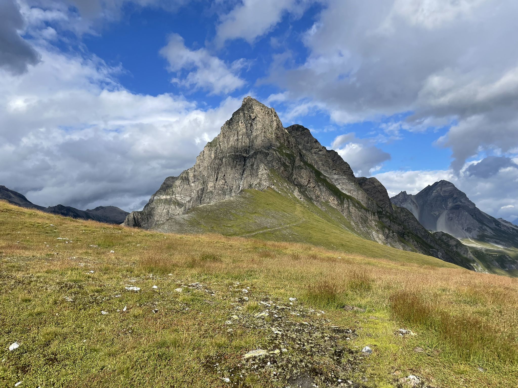
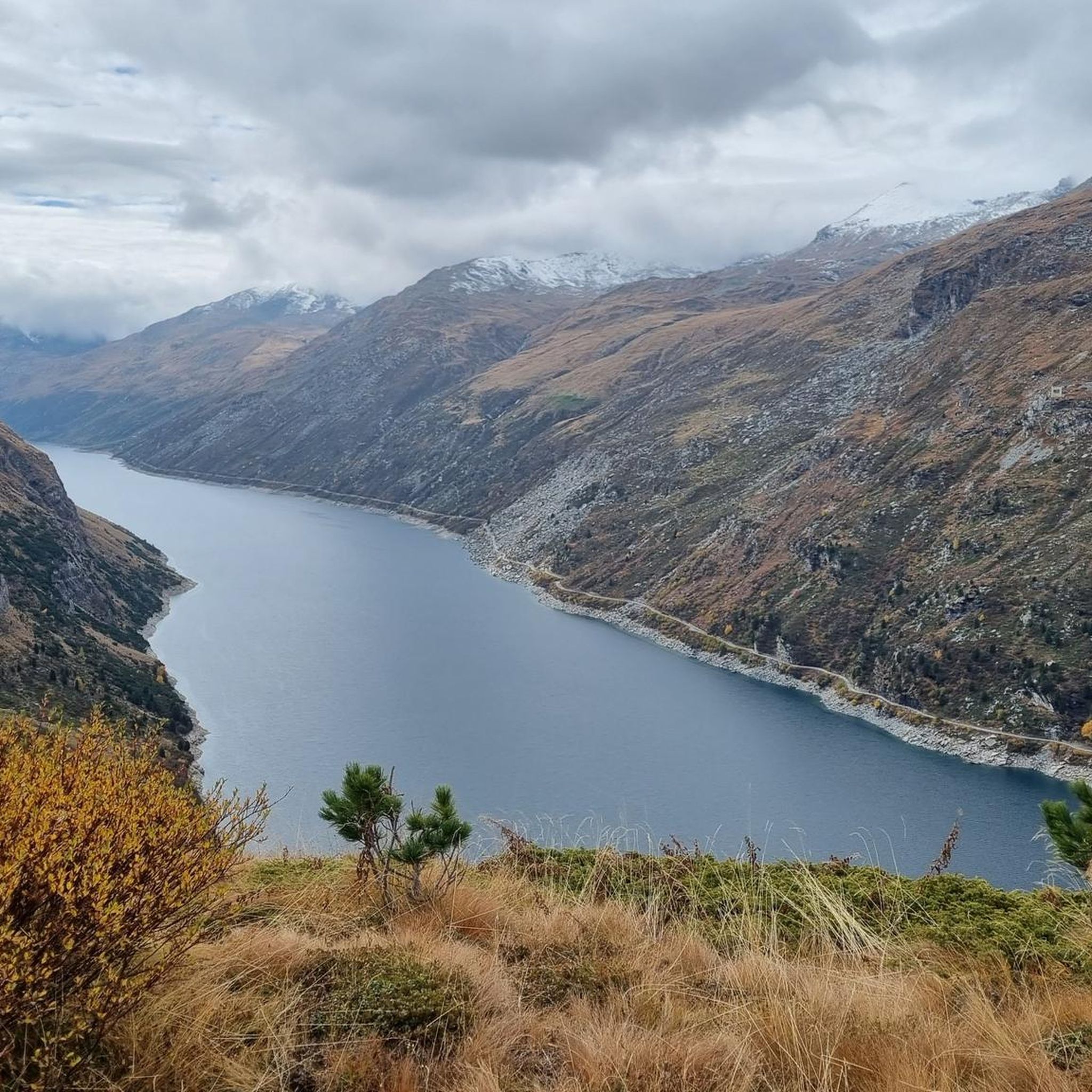
Mountaineering routes around Ferrera are situated in a rugged alpine environment within the Viamala region of Switzerland. The terrain is characterized by significant elevation changes, deep valleys, and high mountain passes. This area offers challenging ascents and descents, with routes often leading through rocky landscapes and past alpine lakes.
Best mountaineering routes around Ferrera
- The most popular mountaineering route is Piz Tambo – Laghetti del Tamburello loop from Splügen Pass, a 5.5 miles (8.9 km) trail that takes about…
Last updated: August 1, 2026
4.9
(10)
44
hikers
8.87km
06:13
1,020m
1,020m
Hard mountaineering route. Very good fitness required. Sure-footedness, sturdy shoes and alpine experience required.
5.0
(1)
20
hikers
13.6km
07:13
1,430m
1,430m
Hard mountaineering route. Very good fitness required. Sure-footedness, sturdy shoes and alpine experience required.

Sign up for free
5.0
(1)
11
hikers
16.7km
06:51
1,210m
1,210m
Hard mountaineering route. Very good fitness required. Sure-footedness, sturdy shoes and alpine experience required.
4.0
(2)
6
hikers
10.6km
05:28
870m
860m
Hard mountaineering route. Very good fitness required. Sure-footedness, sturdy shoes and alpine experience required.
4
hikers
19.2km
07:48
1,280m
1,280m
Hard mountaineering route. Very good fitness required. Sure-footedness, sturdy shoes and alpine experience required.
Get access to more routes and recommendations from other explorers.
Sign up for free
Already have an account?
Our route recommendations are based on thousands of hikes, rides, and runs completed by other people on komoot.
Start today with a free account
Your next adventure awaits.
Login or Signup
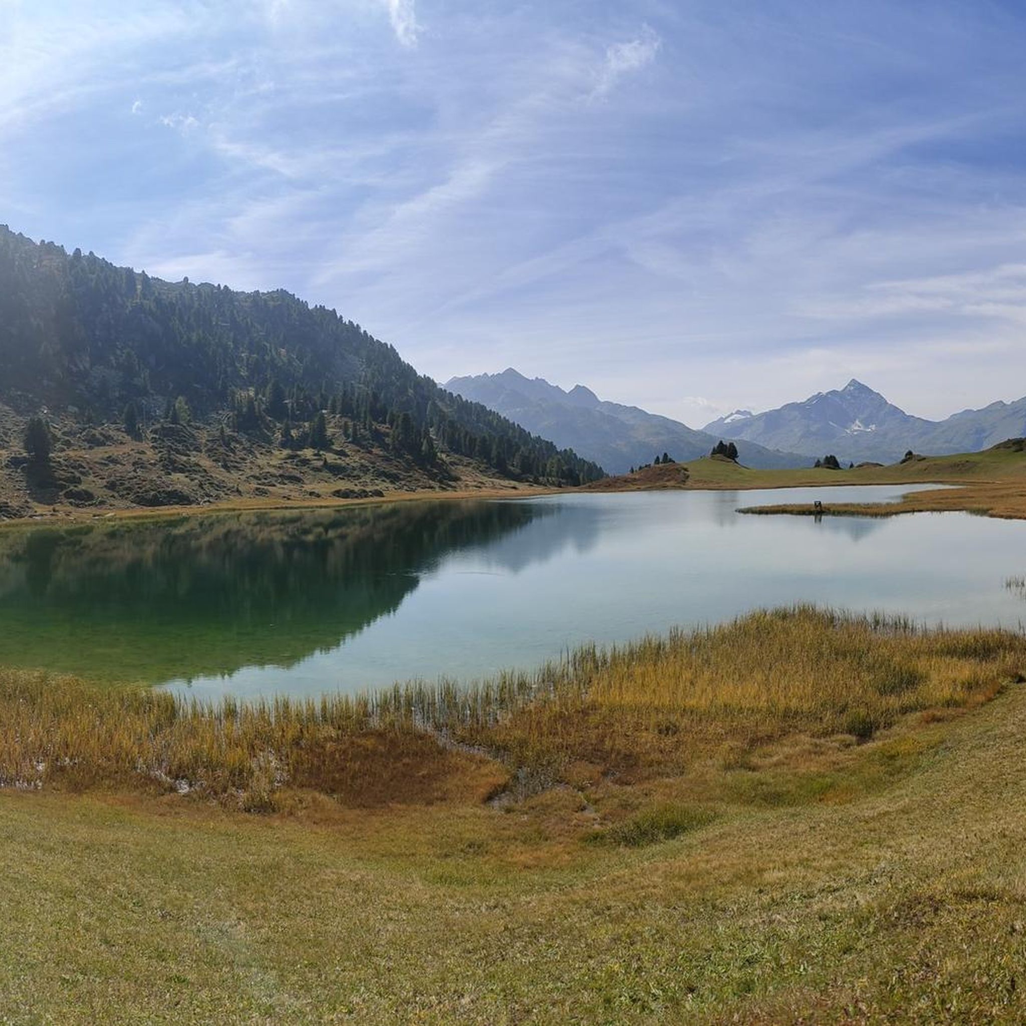
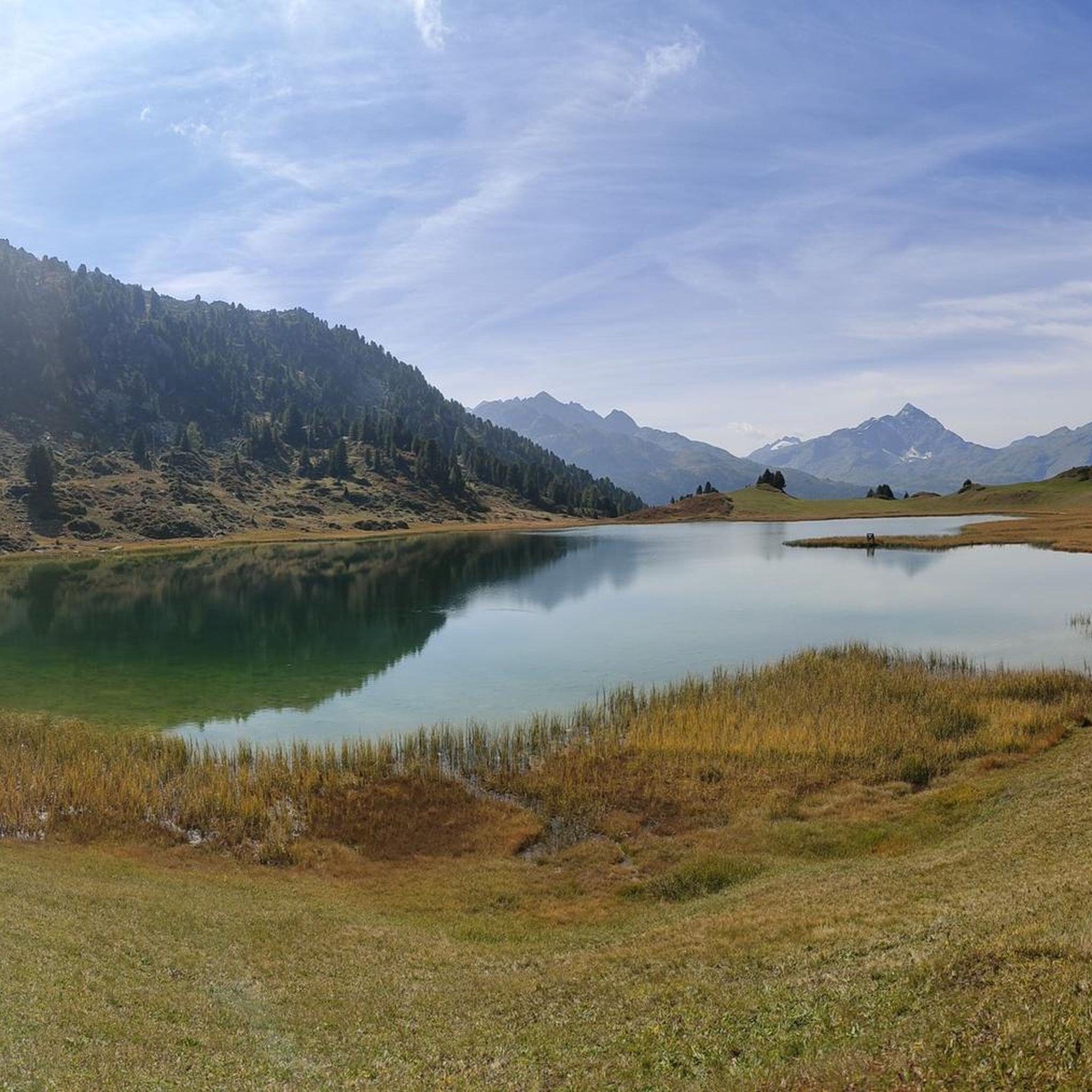

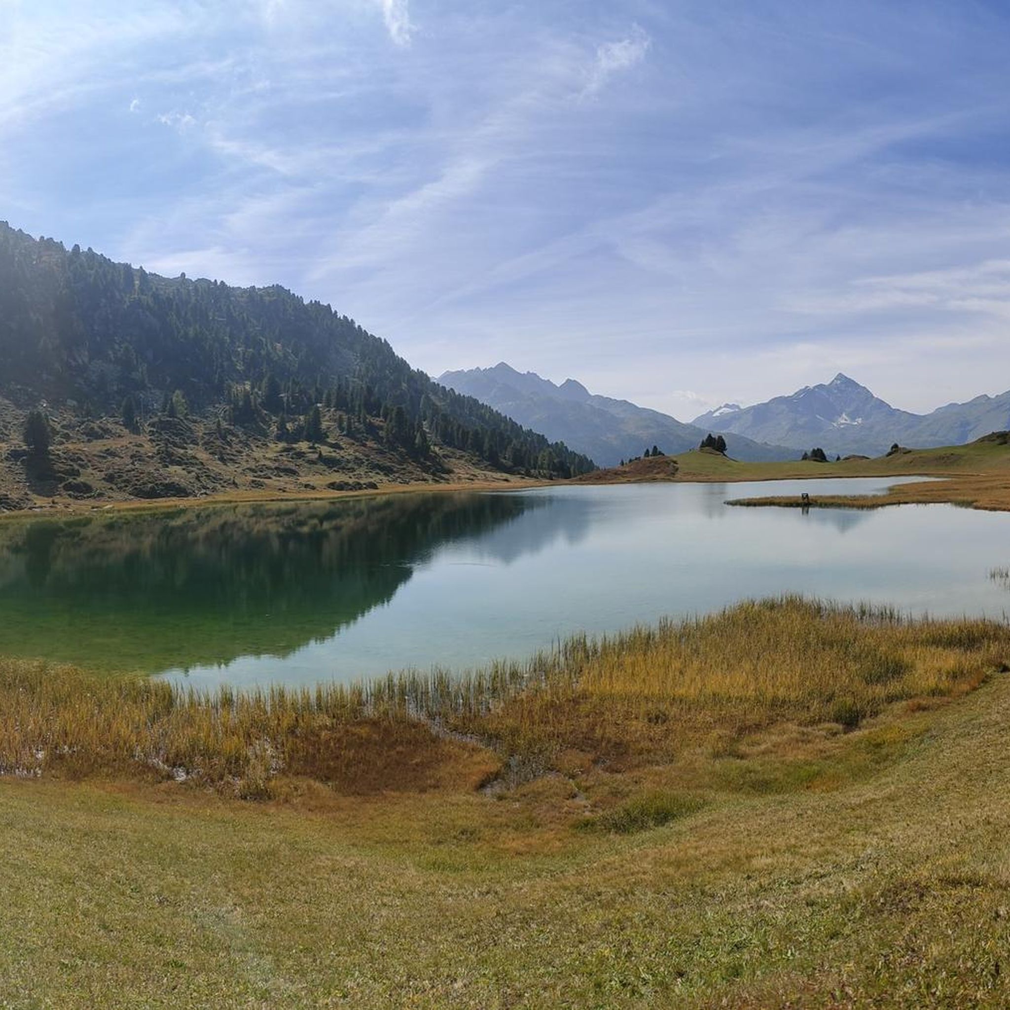


Tips from the Community

Bivio - Access to the Septimer and Julier Alpine Passes Bivio (German, and officially Stalla until 1902, Romansh Beiva). It lies at the foot of the Julier and Septimer Alpine Passes. Bivio is, along with Tarvisio and Luwin, the only officially Italian-speaking village north of the Alpine watershed and is considered the one in Switzerland with the greatest linguistic diversity. Bivio is located in the middle of one of Switzerland's most beautiful holiday regions: at 1,769 metres, with direct access to the Septimer and Julier Alpine Passes. Historic paths lead through the highest village in Surses – here the Romans already transported their goods. Today, holidaymakers enjoy the Alpine landscape in summer with its magnificent views, healthy climate and the play of colours of rich green and colourful flora. In addition, there are diverse opportunities for families and other guests. After all, Bivio is located in the middle of Parc Ela, Switzerland's largest nature park. This is appreciated by children eager for experiences and bike holidaymakers just as much as by all those who find relaxation on extensive hikes in the Alps. Text / Source: Graubünden Ferien, Alexanderstrasse 24, Chur https://www.graubuenden.ch/de/ausflugsziele/bivio
13
0
Bivio at 1769 m above sea level. The name Bivio means “fork in the road” and is inextricably linked with the two Roman passes, Septimer and Julier. The village of 260 inhabitants probably has the strangest linguistic situation in all of Europe, so judges a prominent scholar about Bivio, the highest village in Surses. Text / Source: Switzerland Tourism https://www.myswitzerland.com/de-ch/reiseziele/bivio/
13
0


Be sure to leave early on weekends! It fills up quickly, and turning around (when it's full) is no fun.
0
0
Beautifully rounded summit, often crowded, wide panoramic view
0
0

Since, as is often the case, the pass signs are completely covered with stickers, taking photos in front of them is no longer fun. Alternatively, you can use the boundary stone to take a "proof photo." On the other side of the road, there's another, smaller stone with the elevation: 2113 m.
0
0

The Munggä are under, but that's normal at the end of October.
0
0

Next parking lot for the ascent to Piz Beverin
0
0
Frequently Asked Questions
How many mountaineering routes are available around Ferrera?
There are over 15 distinct mountaineering routes around Ferrera, offering a variety of challenges in this rugged alpine environment. The komoot community has explored 18 routes in total.
What kind of terrain can I expect on mountaineering routes in Ferrera?
Mountaineering routes around Ferrera are situated in a rugged alpine environment within the Viamala region of Switzerland. You can expect significant elevation changes, deep valleys, and high mountain passes, often leading through rocky landscapes and past alpine lakes.
Are there routes suitable for less experienced mountaineers in Ferrera?
While many routes are challenging, there are options for those with moderate experience. For example, the Upper Suretta Lake loop from Splügen is a moderate 7.6-mile (12.3 km) trail that still offers high alpine scenery.
What are some challenging mountaineering routes for experienced climbers in Ferrera?
For experienced mountaineers, routes like Piz Tambo – Laghetti del Tamburello loop from Splügen Pass offer significant challenges, with over 1,000 meters of elevation gain over 5.5 miles (8.9 km). Another difficult option is the Cliffside Ladder loop from Donat, an 8.3-mile (13.3 km) path with extensive views and significant climbs.
Are there any circular mountaineering routes in the Ferrera area?
Yes, several routes are designed as loops, allowing you to start and end in the same location. Examples include the Piz Tambo – Laghetti del Tamburello loop from Splügen Pass and the Upper Suretta Lake loop from Splügen.
What natural features or landmarks can I see along the mountaineering routes?
The routes often lead past stunning natural features. You can explore deep gorges like the Viamala Gorge or the Roffla Gorge. Many trails also feature beautiful alpine lakes such as Sufnersee and Lais da Flix (Flix Lakes).
Is Ferrera a good destination for family-friendly mountaineering?
Mountaineering in Ferrera is generally characterized by challenging ascents and descents in a rugged alpine environment. While there are moderate routes, the terrain is often demanding. Families with younger children or those seeking easier walks might find other areas more suitable, or should carefully select routes with lower difficulty ratings.
What is the best time of year for mountaineering in Ferrera?
The best time for mountaineering in Ferrera is typically during the warmer months, from late spring to early autumn, when snow has melted from higher elevations and weather conditions are more stable. Always check local weather forecasts and trail conditions before heading out, as alpine weather can change rapidly.
How do other mountaineers rate the routes in Ferrera?
The mountaineering routes in Ferrera are highly rated by the komoot community, with an average score of 4.8 stars from over 19 reviews. More than 150 mountaineers have used komoot to explore Ferrera's varied terrain, often praising the challenging ascents and stunning alpine scenery.
Are there any specific permits required for mountaineering in Ferrera?
Generally, specific permits are not required for mountaineering on established trails in the Ferrera region. However, it's always advisable to check with local tourism offices or park authorities for any specific regulations, especially if you plan to venture off marked paths or engage in technical climbing.
How accessible are the mountaineering routes by public transport?
Many routes in the Ferrera area, particularly those starting from villages like Splügen or Donat, can be accessed via public transport. Switzerland has an excellent public transport network, including post buses that serve remote alpine regions. It's recommended to check local bus schedules in advance for specific route access points.
Where can I find parking for mountaineering routes in Ferrera?
Parking is typically available in the villages and at major trailheads around Ferrera, such as Splügen Pass or Donat. Some parking areas may require a fee. It's best to research specific starting points for your chosen route to confirm parking availability and costs.
What kind of wildlife might I encounter on the trails?
In the alpine environment around Ferrera, you might encounter various wildlife species. Keep an eye out for marmots, chamois, and ibex in higher rocky areas. Birdwatchers may spot eagles or other raptors. Always observe wildlife from a distance and avoid disturbing their natural habitat.
Most popular routes around Ferrera
Most popular attractions around Ferrera

Get inspired with the komoot mobile app


Explore more
Browse the best Mountain Hikes & Routes in other regions.
