The best running trails around Surses
4.6
(34)
3,446
runners
29
runs
Jogging around Surses offers diverse landscapes, from picturesque valleys to alpine scenery, providing varied terrain for running. The region is characterized by lush forests, serene lakes, and the Albula River, which carves through the valley. Surses, nestled in Graubünden, features an extensive network of trails suitable for different fitness levels, including routes within Parc Ela, Switzerland's largest nature park.
Best jogging routes around Surses
- The most popular jogging route is Mountain Trail in Graubünden – Stream in Graubünden loop from Savognin, a 12.8 miles (20.6 km) trail that takes about 3 hours to complete, offering views of streams and alpine landscapes.
- Another top favourite among local runners is Mountain Trail in Graubünden – View of Savognin loop from Savognin, a difficult 4.4 miles (7.0 km) path. This route provides scenic views of Savognin and the surrounding alpine terrain.
- Local runners also love the Savognin Stone Bridge – Sala Segantini loop from Savognin, a 9.8 miles (15.8 km) trail leading through the Albula Valley, often completed in about 1 hour 46 minutes.
- Jogging around Surses is defined by picturesque valleys, lush forests, and majestic alpine scenery, with routes often passing by serene lakes. The network offers options for various ability levels, from gentle jogs to challenging trail runs.
- The routes in Surses are highly rated by the komoot community with an average score of 4.5 stars from over 20 reviews. More than 3000 runners have used komoot to explore Surses's varied terrain.
Last updated: July 21, 2026
5.0
(1)
55
runners
20.2km
02:57
1,180m
1,170m
Hard run. Very good fitness required. Sure-footedness, sturdy shoes and alpine experience required.
5.0
(1)
63
runners
7.04km
00:54
180m
180m
Hard run. Good fitness required. Sure-footedness, sturdy shoes and alpine experience required.

Sign up for free
4.0
(1)
56
runners
21.6km
03:25
1,060m
1,060m
Hard run. Very good fitness required. Sure-footedness, sturdy shoes and alpine experience required.
36
runners
6.37km
00:51
180m
180m
Hard run. Good fitness required. Sure-footedness, sturdy shoes and alpine experience required.
15
runners
13.4km
01:42
520m
530m
Hard run. Very good fitness required. Mostly paved surfaces. Suitable for all skill levels.
Get access to more routes and recommendations from other explorers.
Sign up for free
Already have an account?
Our route recommendations are based on thousands of hikes, rides, and runs completed by other people on komoot.
Start today with a free account
Your next adventure awaits.
Login or Signup
Popular around Surses

Alpine Passes Trail – hiking 700km across Switzerland
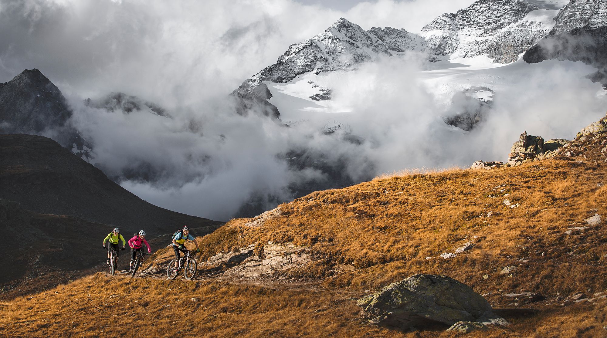
Great heights from Chur to Tirano with your mountain bike & post bus
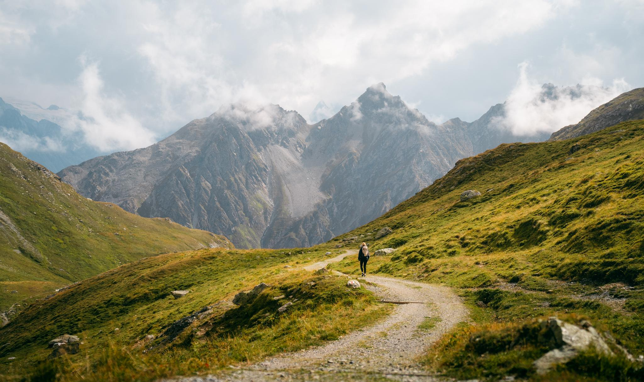
Quiet villages, proud passes, impressive history – the Via Sett
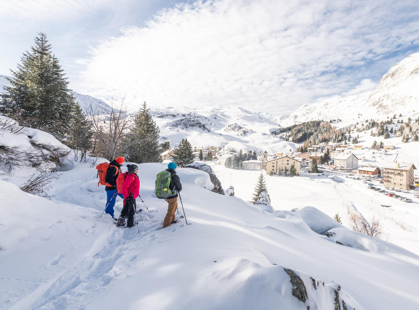
Snowshoe Safari – snowshoe trails through Graubünden
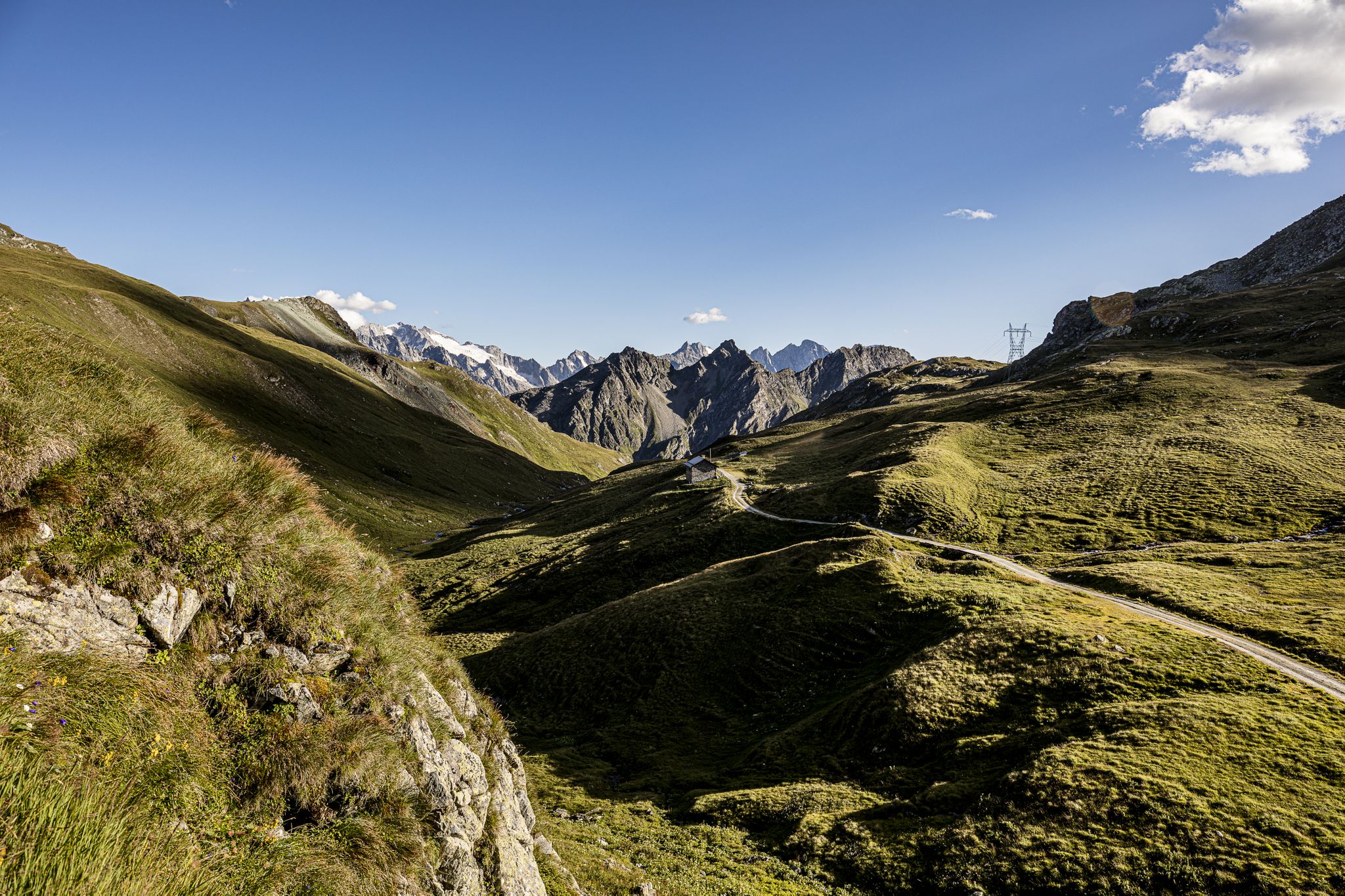
Parc Ela Trek – 17 days of trekking in the heart of Europe
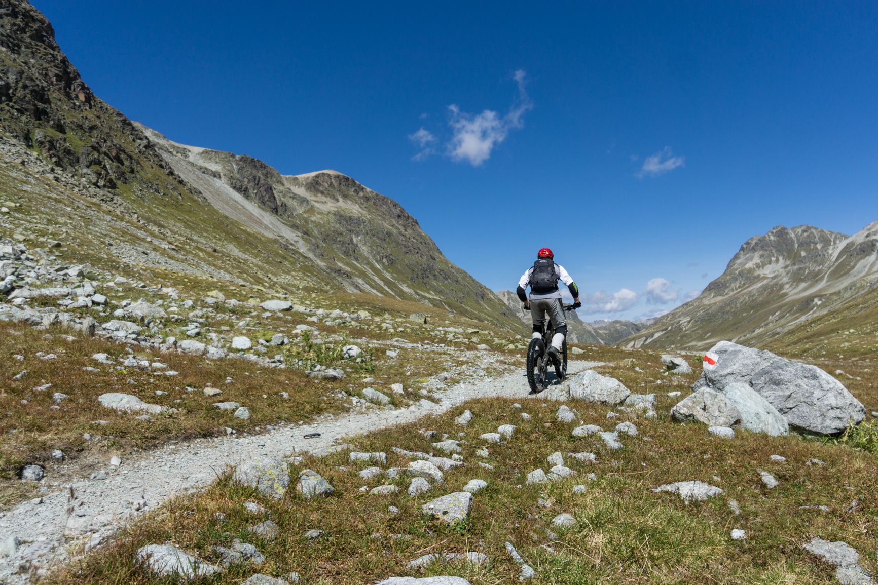
Haute Route Graubünden – From Julier Pass to Klosters
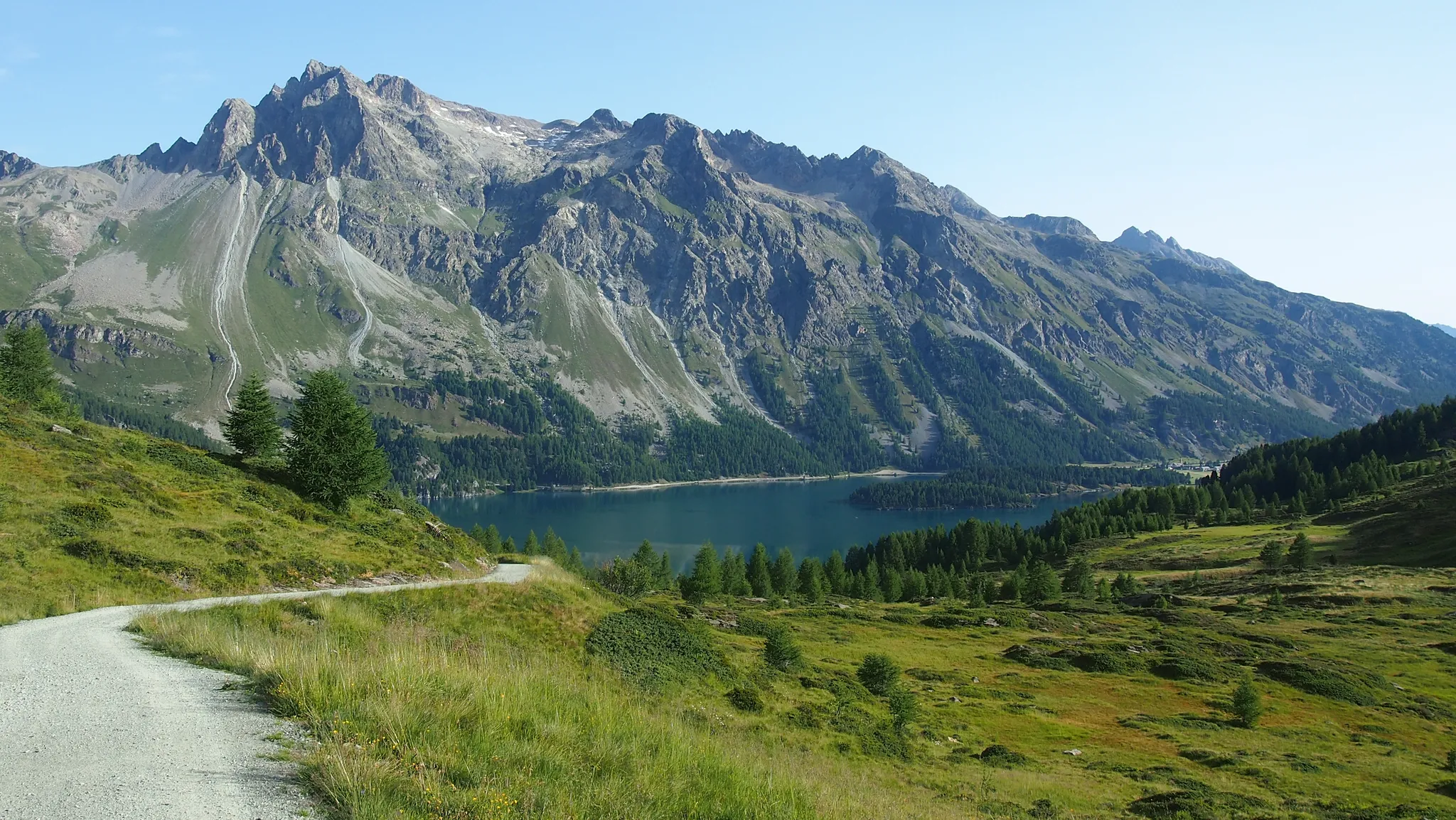
The Colors of Engadin - Senda Segantini
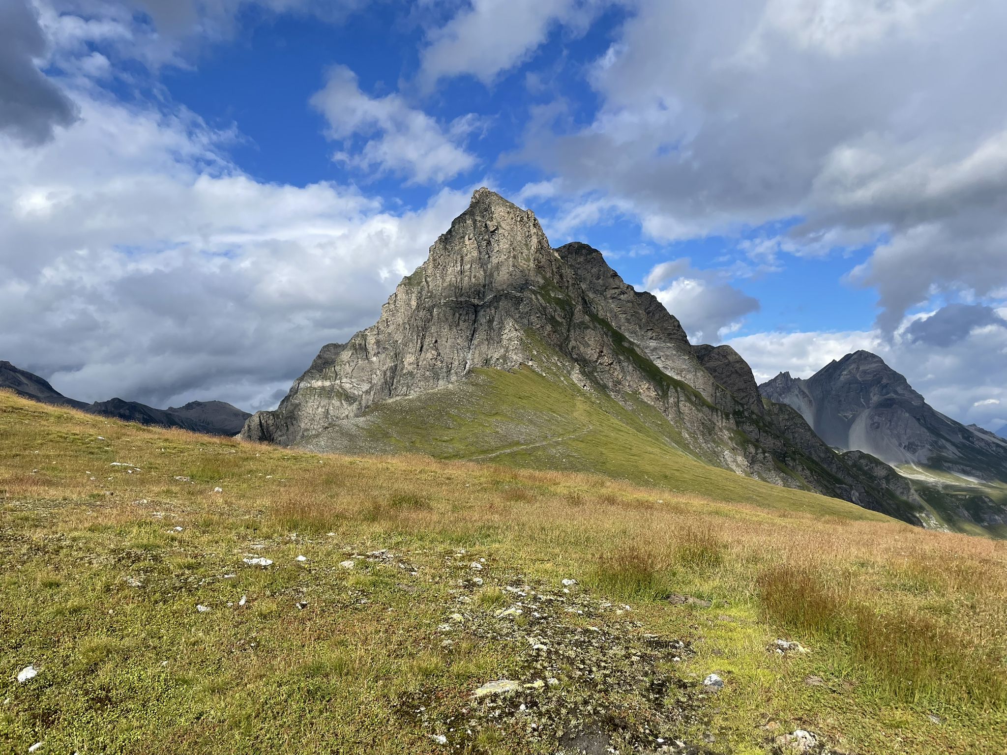
Spectacular nature park in Graubünden – Val Surses to Safiental
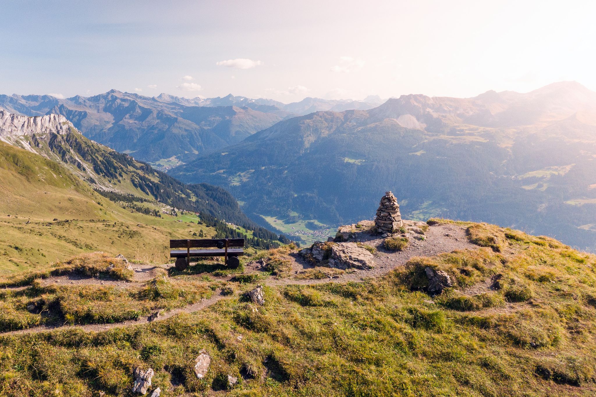
Long-distance hiking in the Grisons — 3 routes in Switzerland
Graubünden — The storyteller of the ViaSpluga
Other adventures around Surses


Tips from the Community

Bivio - Access to the Septimer and Julier Alpine Passes Bivio (German, and officially Stalla until 1902, Romansh Beiva). It lies at the foot of the Julier and Septimer Alpine Passes. Bivio is, along with Tarvisio and Luwin, the only officially Italian-speaking village north of the Alpine watershed and is considered the one in Switzerland with the greatest linguistic diversity. Bivio is located in the middle of one of Switzerland's most beautiful holiday regions: at 1,769 metres, with direct access to the Septimer and Julier Alpine Passes. Historic paths lead through the highest village in Surses – here the Romans already transported their goods. Today, holidaymakers enjoy the Alpine landscape in summer with its magnificent views, healthy climate and the play of colours of rich green and colourful flora. In addition, there are diverse opportunities for families and other guests. After all, Bivio is located in the middle of Parc Ela, Switzerland's largest nature park. This is appreciated by children eager for experiences and bike holidaymakers just as much as by all those who find relaxation on extensive hikes in the Alps. Text / Source: Graubünden Ferien, Alexanderstrasse 24, Chur https://www.graubuenden.ch/de/ausflugsziele/bivio
3
0
Bivio at 1769 m above sea level. The name Bivio means “fork in the road” and is inextricably linked with the two Roman passes, Septimer and Julier. The village of 260 inhabitants probably has the strangest linguistic situation in all of Europe, so judges a prominent scholar about Bivio, the highest village in Surses. Text / Source: Switzerland Tourism https://www.myswitzerland.com/de-ch/reiseziele/bivio/
3
0

Definitely stay overnight - the beds are so comfortable and the 4-course dinner as well as the breakfast are an absolute dream!
0
0

There are no longer any overnight accommodations or catering options here. It's just a regular alpine pasture and a stop for the Alpine Bus.
0
0

A flowing trail through moss-covered rocks. Easy to run, not very steep, and a bit rocky in places.
0
0

Beautifully located and starting point for wonderful hikes
0
0

Are you looking for a place to recharge your batteries with beautiful scenery? This mountain lodge is the place for you!
0
0

The Lai Barnagn bathing lake is a must on hot days. It offers something for everyone. Big or small, old or young. The area around the lake is very diverse. - Children's playground - Mini golf course - Lake area for small children - Flippers and bouncy cushions and more in the lake - Small soccer field - Beach volleyball court - Lawn area for relaxing - Barbecue areas - Large kiosk with hot meals, e.g. burgers or fries and much more. After a bike or hiking tour, it's worth stopping here for a beer or a coffee.
0
0
Frequently Asked Questions
How many running routes are available in Surses?
Surses offers a wide selection of running routes, with over 30 trails documented on komoot. These range from easy jogs to challenging mountain runs, ensuring options for various fitness levels. Specifically, there is 1 easy route, 4 moderate routes, and 25 difficult routes for experienced trail runners.
What kind of terrain can I expect on the jogging trails in Surses?
The jogging trails in Surses feature incredibly diverse terrain. You'll find picturesque valleys, lush forests, and majestic alpine scenery. Many routes follow the Albula River or pass by serene lakes like Lai Tigiel and Lai Barnagn. The region, including parts of Parc Ela, offers everything from gentle paths to rugged rock formations and moor landscapes, providing varied surfaces for your run.
Are there any family-friendly running routes in Surses?
Yes, Surses has options suitable for families. The Sala Segantini – Savognin Stone Bridge loop from Tinizong is a good choice, offering a shorter distance of about 6.4 km. Additionally, the Surses Nature Trail is known for being family-friendly, winding through diverse terrains with educational signage, making it suitable for a leisurely jog with children.
Can I bring my dog on the running trails in Surses?
Surses is generally dog-friendly, with many trails welcoming canine companions. However, it's always recommended to keep your dog on a leash, especially in nature protection areas like Parc Ela, and to respect local signage regarding wildlife and livestock. Always carry water for your dog and clean up after them.
What are some notable landmarks or natural features I might see while running in Surses?
While running in Surses, you can encounter stunning natural features and landmarks. Many routes offer views of the Albula River and its valley, or pass by beautiful lakes such as Lai Tigiel, Lake Lai Barnagn, and the Lais da Flix. You might also spot the historic Lenzerheide area or the serene Lake St. Moritz in the wider region. The trails often provide breathtaking alpine vistas, especially around peaks like Piz Platta.
Are there circular running routes available in Surses?
Yes, Surses offers several excellent circular running routes. For instance, the Mountain Trail in Graubünden – Stream in Graubünden loop from Savognin is a popular 20.6 km circular trail. Another option is the Lais da Flix loop from Bivio, which takes you around the picturesque Flix Lakes.
What do other runners say about the trails in Surses?
The running routes in Surses are highly regarded by the komoot community, boasting an average rating of 4.5 out of 5 stars from over 20 reviews. Runners frequently praise the diverse landscapes, from picturesque valleys to majestic alpine scenery, and the well-maintained network of trails suitable for various ability levels. Many appreciate the opportunity to run alongside serene lakes and through lush forests.
What is the best time of year for jogging in Surses?
The best time for jogging in Surses largely depends on your preference for terrain and weather. Spring and autumn offer pleasant temperatures and vibrant scenery, with fewer crowds. Summer is ideal for higher alpine routes, though some trails can be busy. Winter provides opportunities for snowshoe running or specific winter trails, but many higher routes will be inaccessible due to snow. Always check local conditions before heading out.
Where can I find parking for the running routes in Surses?
Parking facilities are generally available in the main villages like Savognin and Bivio, which serve as excellent starting points for many routes. Specific parking information for individual trailheads can often be found on local tourism websites or detailed route descriptions on komoot.
Are there any easy running routes for beginners in Surses?
While many routes in Surses are rated as difficult, there are options for beginners. The region offers 1 easy route and 4 moderate routes. For a gentler experience, consider routes along the valley floor or those specifically designated as family-friendly, such as sections of the Surses Nature Trail. These provide a good introduction to running in the area without significant elevation changes.
Can I access the trailheads using public transport in Surses?
Yes, Surses is well-connected by public transport, making it possible to reach many trailheads without a car. Buses serve the main villages like Savognin and Bivio, which are common starting points for numerous running routes. It's advisable to check the local bus schedules to plan your journey to and from the trailheads effectively.
Are there places to eat or stay near the running trails in Surses?
Absolutely. Villages like Savognin and Bivio offer a variety of cafes, pubs, and accommodation options that cater to outdoor enthusiasts. You'll find everything from cozy guesthouses to hotels, some even designated as 'trail running hotels' that provide specific services for runners. These locations are excellent bases for exploring the surrounding trails.
Most popular attractions around Surses

Get inspired with the komoot mobile app


Explore more
Browse the best Running Trails & Routes in other regions.
