The best walks and hikes around Augirein
4.6
(306)
2,607
hikers
83
hikes
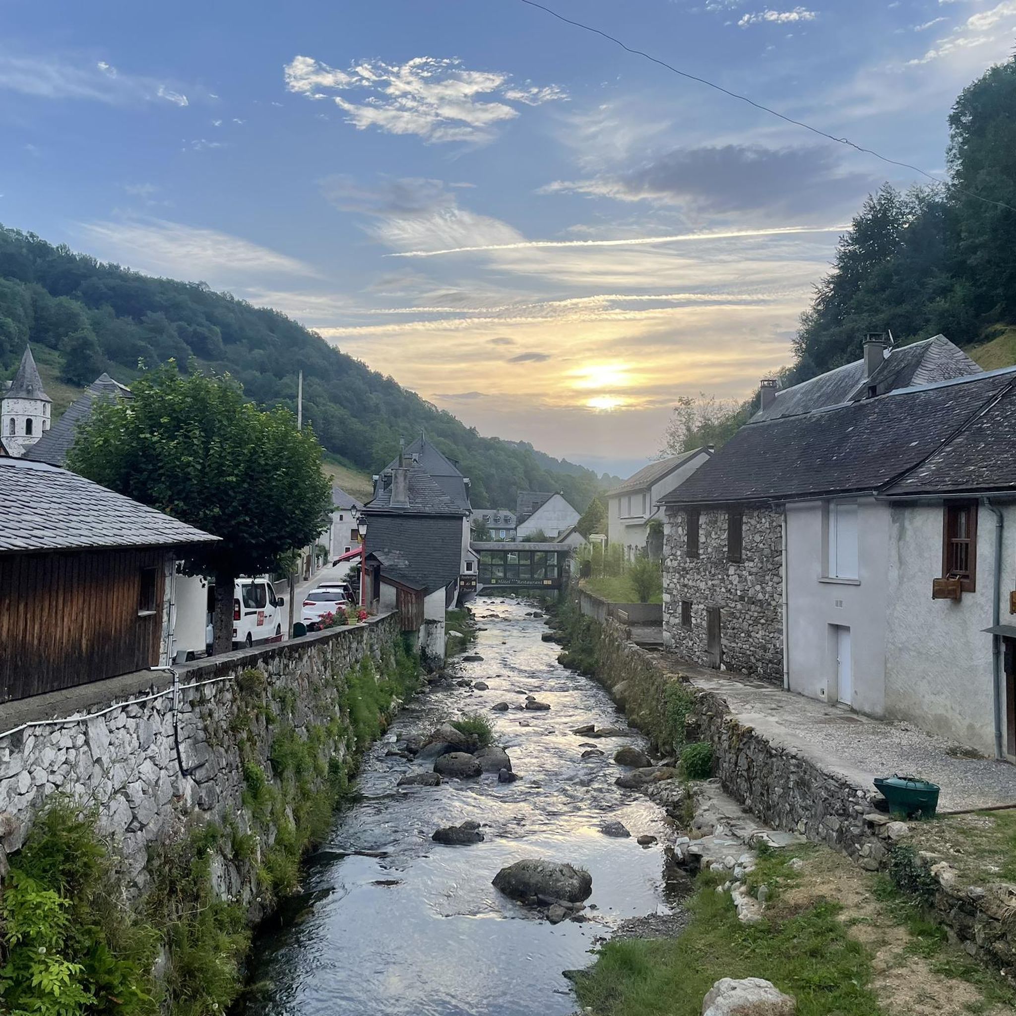
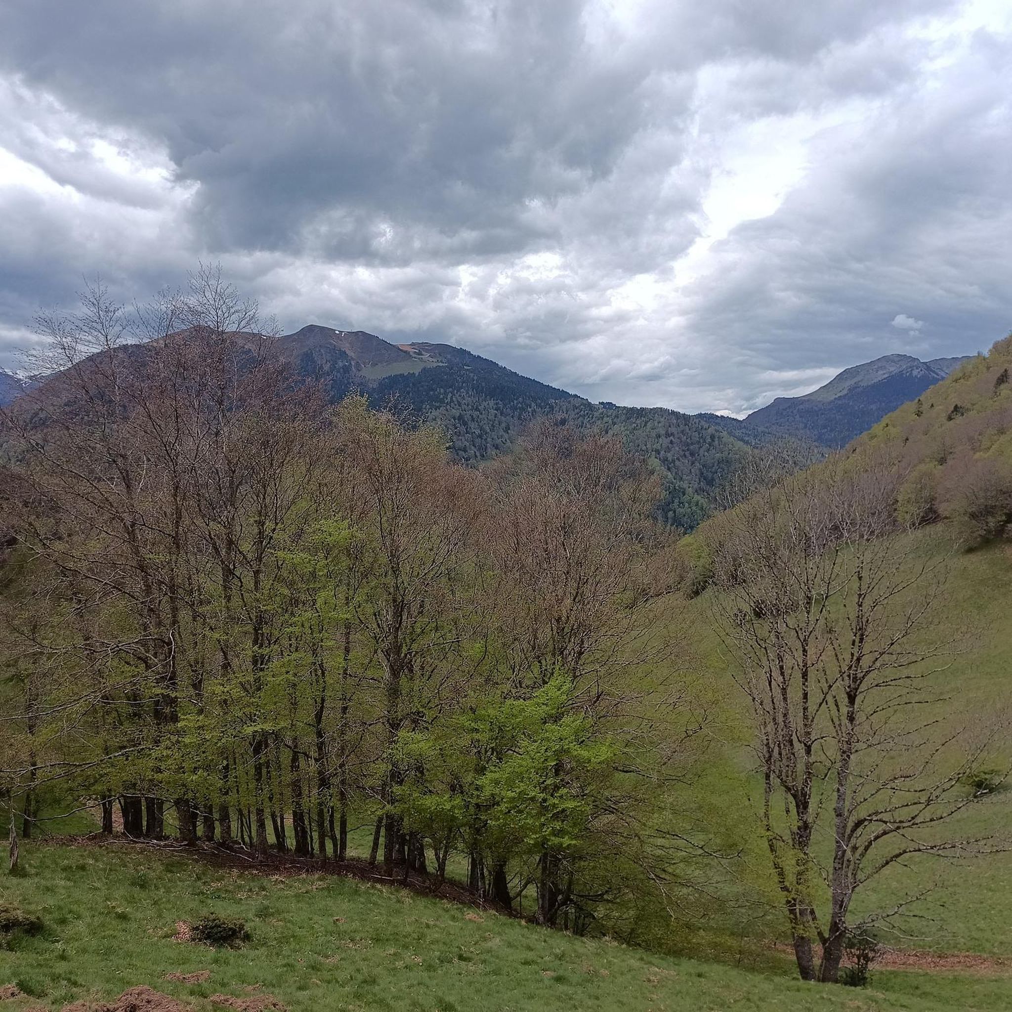
Hiking around Augirein offers access to the rugged and heavily forested Pyrénées Ariégeoises Regional Natural Park in south-western France. The region is characterized by mountainous terrain, with elevations ranging significantly, and features peaks such as the Pic de la Calabasse. Hikers can traverse diverse landscapes, from dense forests to mountain pastures and valleys like the Bellongue Valley, through which the Bouigane river flows.
Best hiking trails around Augirein
- The most popular hiking route is Col de la Croix – Mail…
Last updated: November 2, 2026
4.8
(10)
54
hikers
8.60km
03:26
640m
640m
Moderate hike. Good fitness required. Mostly walkable paths. Sure-footedness required.
4.7
(9)
33
hikers
12.9km
04:54
560m
560m
Moderate hike. Good fitness required. Mostly walkable paths. Sure-footedness required.

4.0
(1)
21
hikers
10.2km
06:09
1,110m
1,110m
Hard hike. Very good fitness required. Mostly walkable paths. Sure-footedness required.
4.7
(3)
17
hikers
11.0km
03:21
360m
370m
Moderate hike. Good fitness required. Easily walkable paths.
4.3
(4)
8
hikers
15.0km
04:35
490m
490m
Moderate hike. Good fitness required. Easily walkable paths.
Get access to more routes and recommendations from other explorers.
Already have an account?
Our route recommendations are based on thousands of hikes, rides, and runs completed by other people on komoot.
Start today with a free account
Your next adventure awaits.

Tips from the Community

Circuit in the woods around the village of Portet d’Aspet
0
0

beautiful waterfall. Nice refreshment for dogs and humans :) and a nice lunch spot
0
0

Just before the Col de la Croix, the Mail de Laroque offers breathtaking views of the surrounding mountains. It is located at almost 1,400 meters above sea level. The rocks are quite impressive!
2
0
The Morères cabin is an unguarded shelter in the Pyrenees which has a table, two benches and a small stove. You have a water fountain nearby.
1
0
Frequently Asked Questions
How many hiking trails are available around Augirein?
There are over 80 hiking routes in the Augirein area, catering to various skill levels. You'll find everything from easy walks to challenging ascents through the mountainous terrain of the Pyrénées Ariégeoises Regional Natural Park.
What kind of terrain can I expect on hikes around Augirein?
The terrain around Augirein is diverse and often rugged. You can expect to traverse dense forests, vast mountain pastures, and challenging ridges. The area is characterized by significant elevation changes, with trails leading to breathtaking views of peaks like the Pic de la Calabasse.
Are there any family-friendly hiking options in Augirein?
Yes, Augirein offers several easier walks suitable for families. While specific routes are not detailed as 'family-friendly' in the data, the region has a range of trails, including some with less elevation gain, that can be enjoyed by all ages. Look for routes described as 'easy' for a more relaxed experience.
Can I bring my dog on the hiking trails in Augirein?
The Pyrénées Ariégeoises Regional Natural Park, where Augirein is located, generally welcomes dogs, but it's crucial to keep them on a leash, especially in areas with grazing livestock (sheep, cows, Mérens horses) and protected wildlife. Always check specific trail regulations before heading out.
Are there any circular hiking routes around Augirein?
Yes, many of the trails around Augirein are designed as circular routes, allowing you to start and end in the same location. Examples include the Col de la Croix – Mail de Laroque loop from Antras and the Grotte d'Escarchein loop from Augirein, offering convenient exploration of the area.
What natural features or landmarks can I see while hiking near Augirein?
Hikers can discover a variety of natural features and landmarks. The region is known for its high-altitude lakes, such as the Étang d'Araing and the captivating Étang Bleu. You'll also encounter impressive mountain passes like the Portet-d'Aspet pass, and dense, vibrant forests. The village itself is known as a 'flowery village' from June onwards.
What is the best time of year to go hiking in Augirein?
Augirein is beautiful throughout the warmer months. From June onwards, the village and surrounding areas are particularly vibrant with blooming flora. Autumn also offers spectacular colors in the beech and oak forests. While winter hiking is possible, conditions can be challenging with snow-capped peaks, requiring appropriate gear and experience.
Are there any places to stay or eat near the hiking routes?
Yes, the region offers options for hikers. You might find refuges or gîtes along or near some routes. For example, the Jacques Husson Refuge and the Gîte d'Étape d'Eylie are points of interest that could serve as stops or accommodation. The peaceful village of Augirein itself provides a serene retreat.
What do other hikers enjoy most about hiking in Augirein?
The area is highly rated by the komoot community, with an average score of 4.6 stars from over 250 reviews. Hikers often praise the diverse landscapes, from quiet woodlands to challenging mountain ascents, and the stunning panoramic views of the surrounding Pyrenean peaks and valleys.
Are there any challenging hikes for experienced trekkers?
Absolutely. Augirein is nestled in the Pyrenees, offering numerous challenging routes with significant elevation gain. For instance, the Pic de la Calabasse loop from Pic de Lauech is a difficult trail with over 1,100 meters of ascent, often taking more than 6 hours to complete. These routes provide rewarding climbs and spectacular views.
Is public transport available to access hiking trails in Augirein?
While Augirein is a somewhat remote commune within the Pyrénées Ariégeoises Regional Natural Park, public transport options directly to trailheads might be limited. It's generally advisable to check local bus schedules or consider personal vehicle access for the most flexibility in reaching various starting points for hikes.
Are there any historical or cultural routes in the Augirein area?
Yes, Augirein holds historical significance as it lies on a variant of the Way of St. James (GR78). This integrates historical pilgrimage routes into the hiking offerings, allowing you to experience both natural beauty and cultural heritage on your walks.
Most popular attractions around Augirein

Get inspired with the komoot mobile app


Explore more
Browse the best Hikes in other regions.
