The best mountain hikes around Diemtigen
4.9
(50)
428
hikers
25
hikes
Mountaineering around Diemtigen offers a diverse alpine landscape characterized by high peaks, deep valleys, and forested slopes within the Bernese Oberland. The region features challenging ascents and descents across varied terrain, including rocky paths and alpine meadows. These mountaineering routes provide opportunities to explore the natural environment of Diemtigen.
Best mountaineering routes around Diemtigen
- The most popular mountaineering route is Brothüsiweg Covered Bridge – Adlerhorst (1960 m) loop from Wimmis, a 4.6 miles (7.3 km) trail that takes 4…
Last updated: September 26, 2026
4.7
(16)
131
hikers
7.81km
04:08
730m
730m
Hard mountaineering route. Good fitness required. Sure-footedness, sturdy shoes and alpine experience required.
20
hikers
14.2km
05:47
980m
990m
Hard mountaineering route. Very good fitness required. Mostly accessible paths. Sure-footedness required.

5.0
(3)
10
hikers
Moderate mountaineering route. Good fitness required. Mostly accessible paths. Sure-footedness required.
5.0
(2)
12
hikers
17.5km
08:14
1,560m
1,560m
Hard mountaineering route. Very good fitness required. Sure-footedness, sturdy shoes and alpine experience required.
13
hikers
14.9km
06:57
1,320m
1,320m
Hard mountaineering route. Very good fitness required. Sure-footedness, sturdy shoes and alpine experience required.
Get access to more routes and recommendations from other explorers.
Already have an account?
Our route recommendations are based on thousands of hikes, rides, and runs completed by other people on komoot.
Start today with a free account
Your next adventure awaits.
Popular around Diemtigen

Hope 1000 – Bikepacking Switzerland in 11 stages
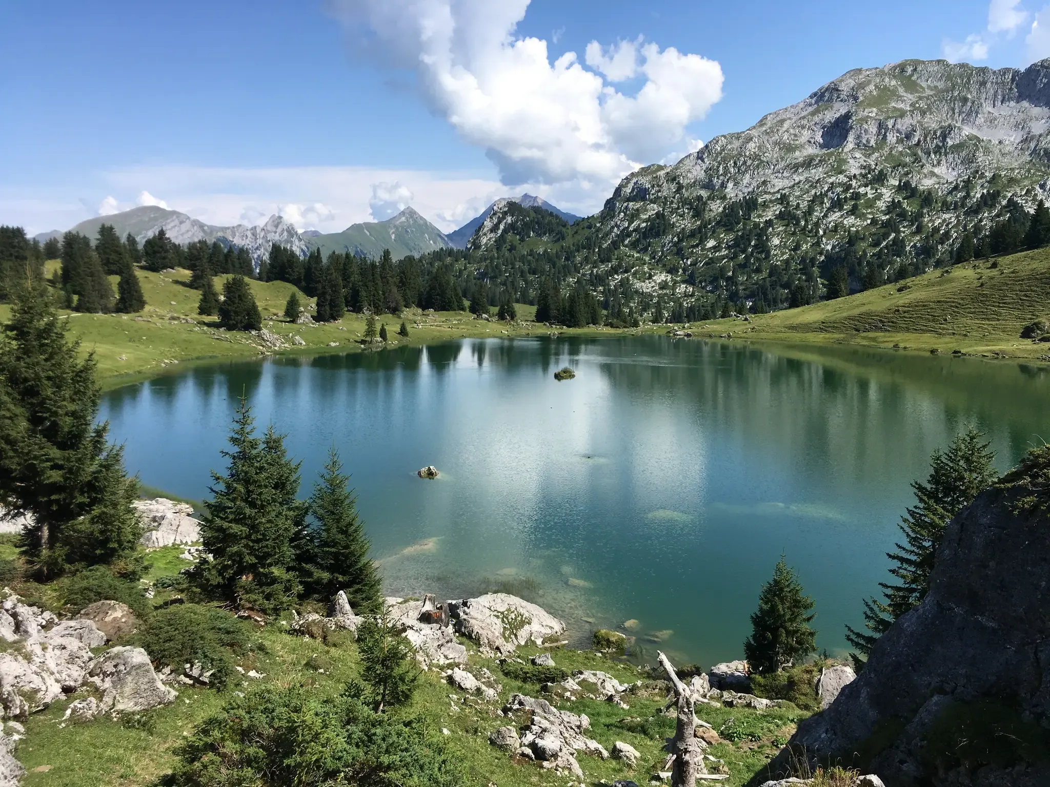
Mountain lakes, streams and castles – Berner Voralpenweg
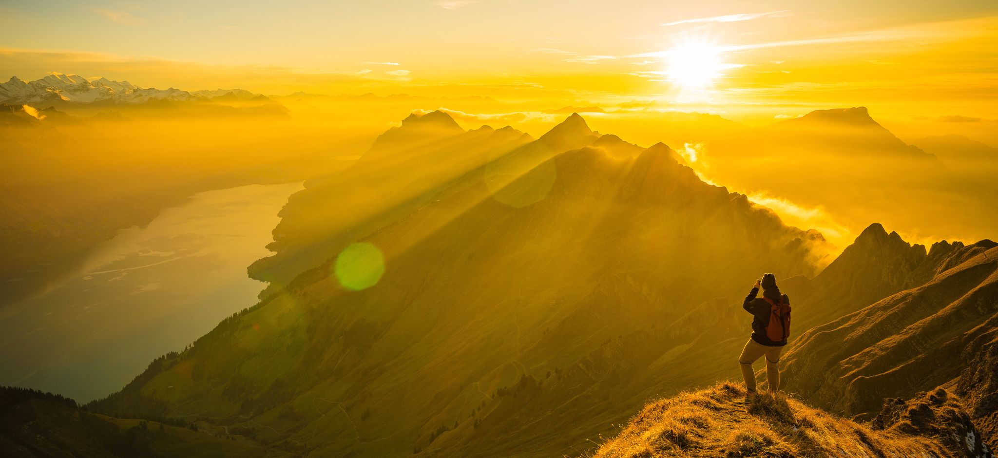
Mighty peaks and turquoise lakes – hiking in Interlaken in Switzerland
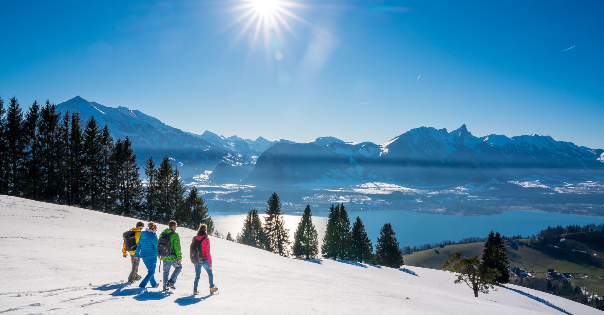
Let it snow! Winter hikes in the Bernese Oberland
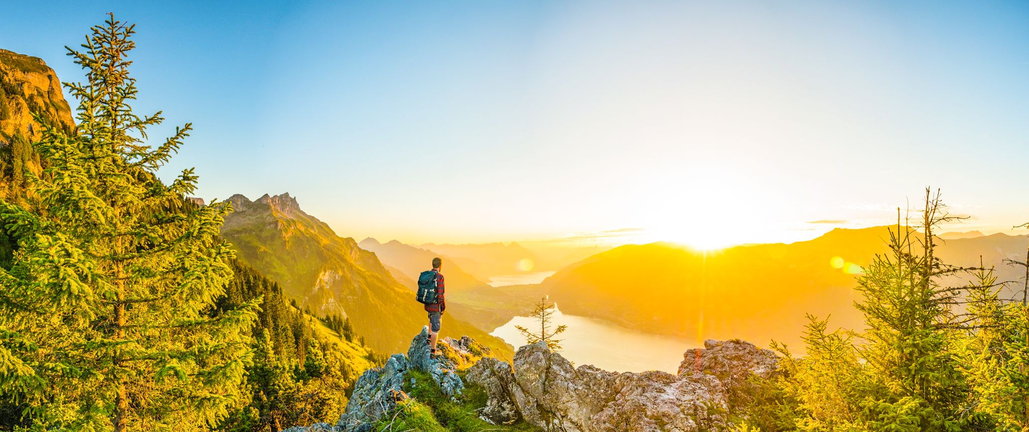
Magnificent Bernese Oberland – Hiking around Interlaken
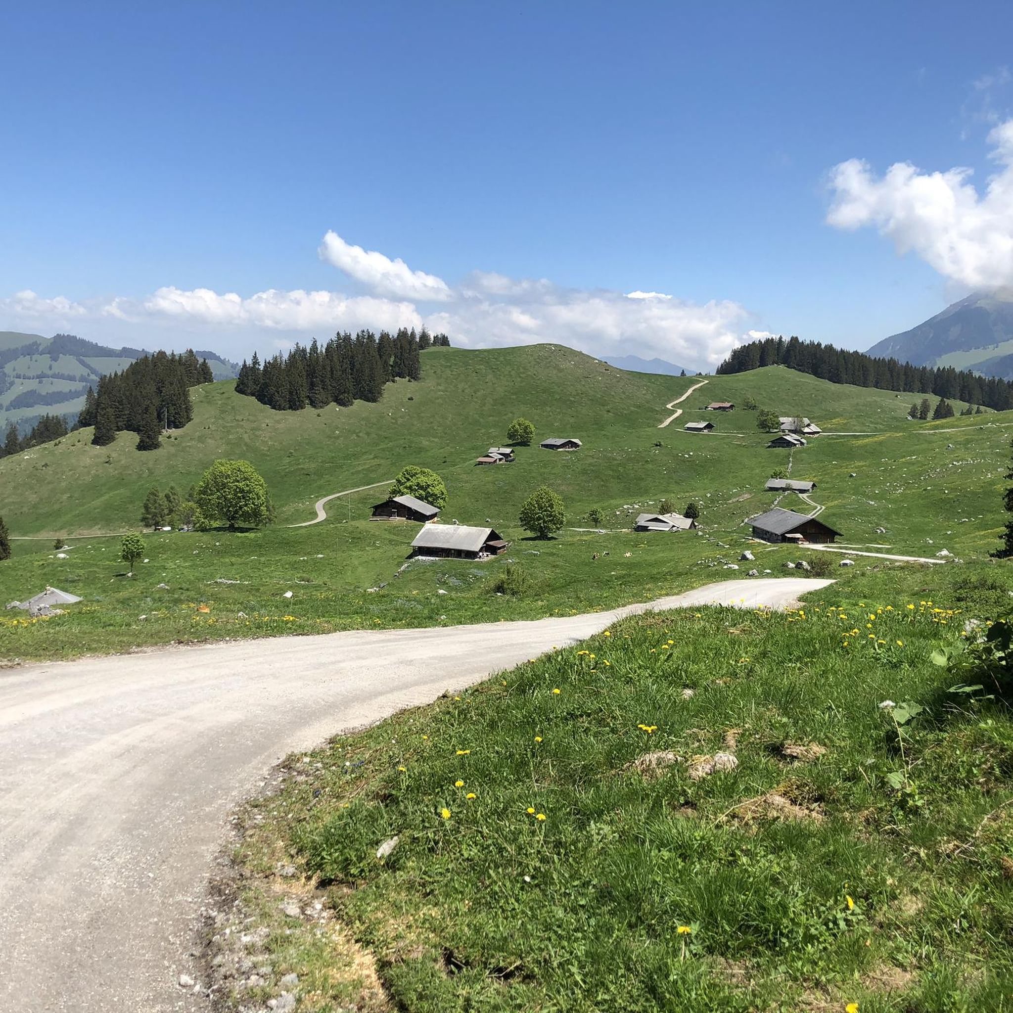
Hiking around Diemtigen
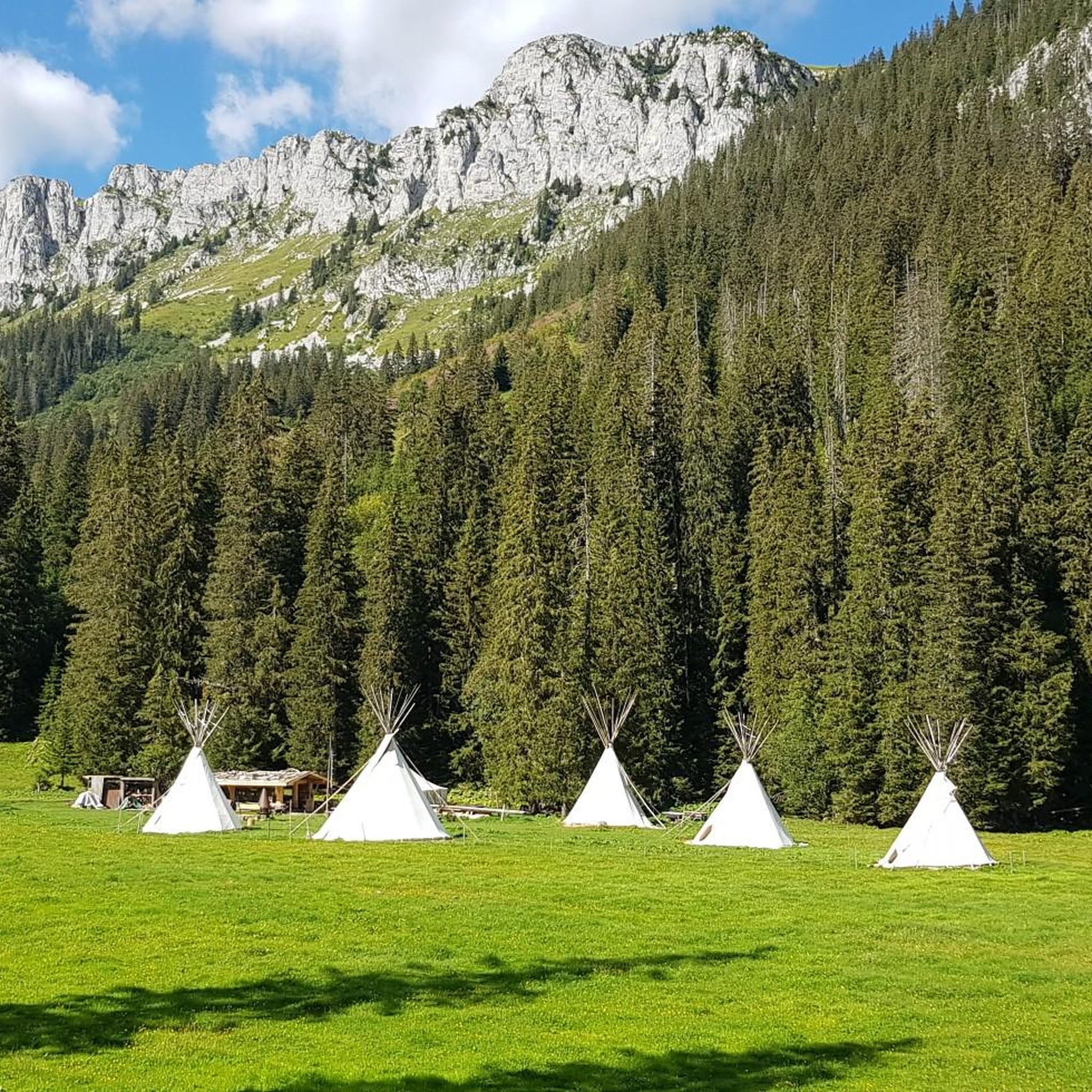
Road Cycling Routes around Diemtigen
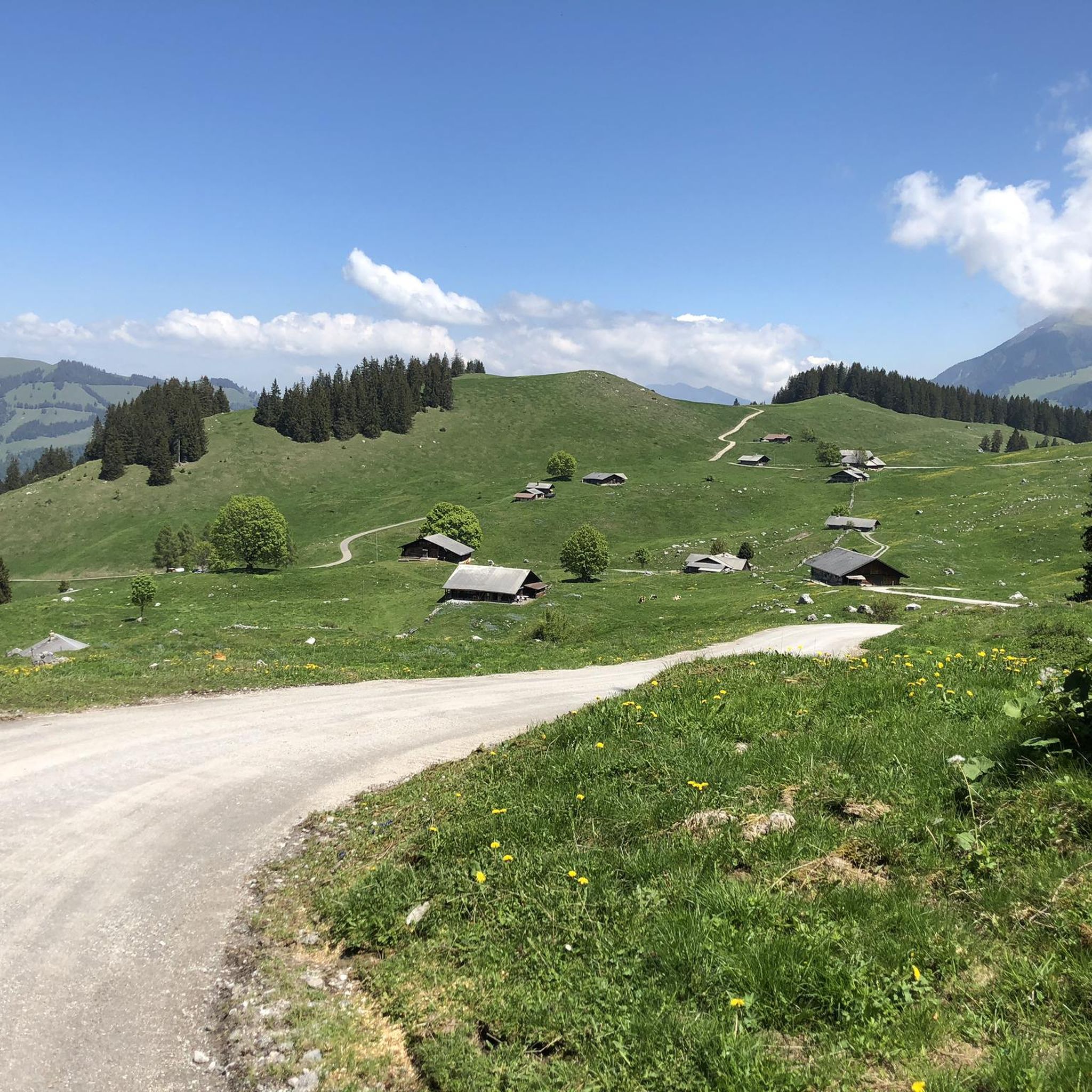
MTB Trails around Diemtigen
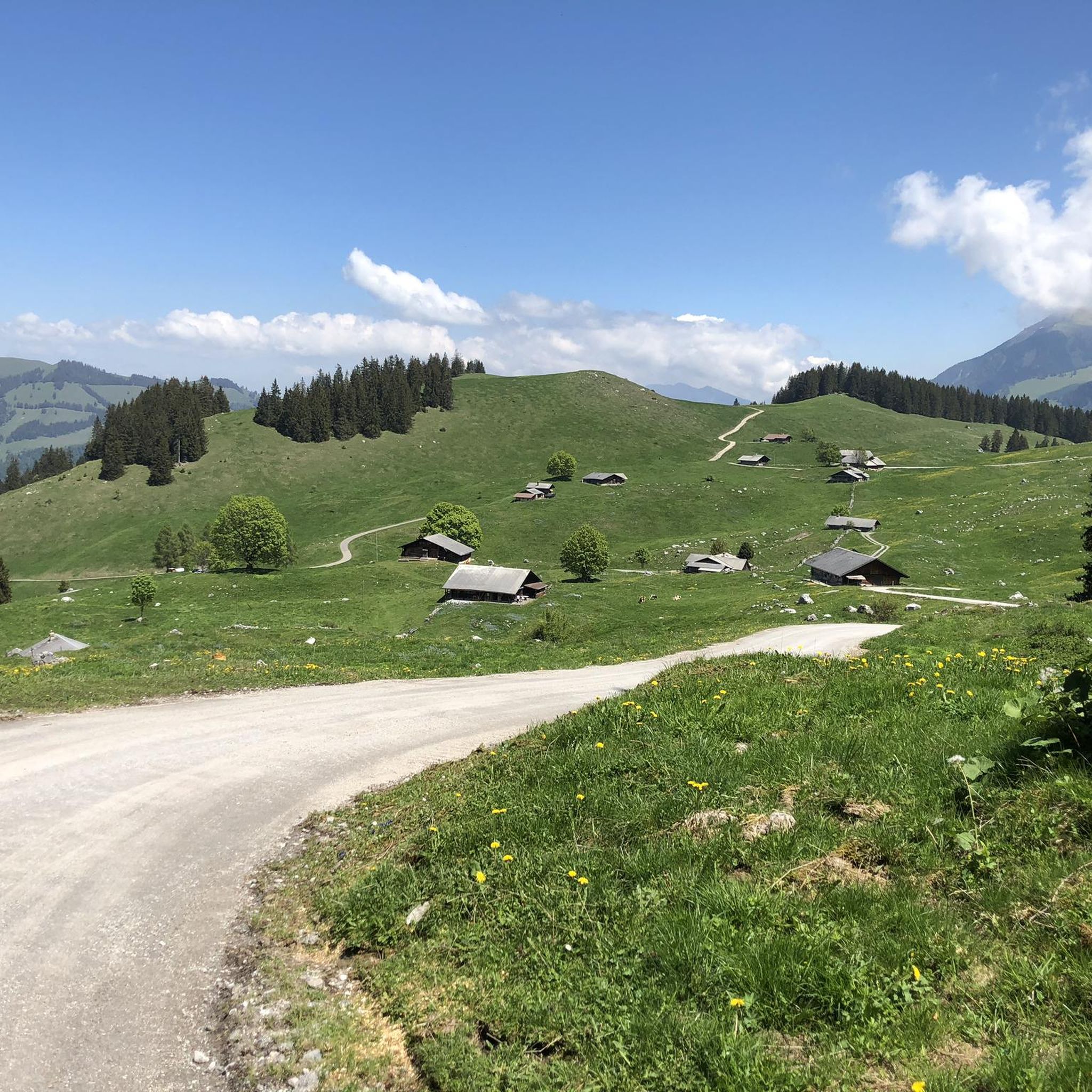
Cycling around Diemtigen
Gravel biking around Diemtigen
Other adventures around Diemtigen


Tips from the Community

The water was not ice-cold as expected after the record summer. A few people were swimming. There are many small fish in the lake.
0
0

Great after-work hike, but I would recommend a helmet as rockfalls from wildlife or other hikers cannot be ruled out.
0
0

A beautiful panoramic summit at the end of the Niesen range. Can be climbed from two sides via alpine trails.
7
0

Trail running highlight. Challenging climb with technical challenges.
1
0

Great climb and view. Saw 10 golden eagles at once.
2
0
Ideal for mountain hikers who only want to hike half of the Niesen.
6
0

Great ascent aid for snowshoe hikes🥰
1
0

🌊 Oberstockensee – A mountain lake straight out of a picture book 🏔️✨ Oberstockensee is idyllically situated at around 1,650 m altitude, nestled in the impressive mountain world of the Stockhorn. It is a true natural jewel and perfect for a relaxing break in the Alps. 🥾 Accessibility: Start from the Chrindi middle station 🚡 🌟 Highlights: Crystal-clear water – ideal for cooling off on hot days ❄️ Reflecting mountain scenery – perfect for photos 📸 Fishing allowed – a paradise for anglers 🎣
1
0
Frequently Asked Questions
What is the general difficulty level of mountaineering routes in Diemtigen?
Mountaineering in Diemtigen is primarily characterized by challenging routes. Out of the 28 available routes, 22 are rated as difficult, 5 as moderate, and only 1 as easy. This means most routes involve significant ascents and descents over varied alpine terrain.
How long do mountaineering routes in Diemtigen typically take to complete?
The duration of mountaineering routes in Diemtigen varies depending on the specific trail and your pace. For example, the Brothüsiweg Covered Bridge – Adlerhorst (1960 m) loop from Wimmis typically takes around 4 hours, while the Stockhorn Viewing Platform loop from Erlenbach can take over 7 hours due to its longer distance and significant elevation gain.
Are there suitable mountaineering routes for beginners in Diemtigen?
While Diemtigen is known for its challenging alpine terrain, there is at least one easy mountaineering route available. However, the majority of the 28 routes are rated as difficult, so beginners should carefully check route descriptions and difficulty ratings before setting out.
When is the best time of year to go mountaineering in Diemtigen?
The best time for mountaineering in Diemtigen is generally from late spring to early autumn (June to September) when trails are mostly free of snow and weather conditions are more stable. Always check local weather forecasts and trail conditions before your trip, as alpine weather can change rapidly.
What kind of challenges can advanced mountaineers expect in Diemtigen?
Advanced mountaineers will find plenty of challenging ascents and descents across varied terrain, including rocky paths and high alpine meadows. Routes like the Albristhorn Summit loop from Gruebe offer significant elevation gains and technical sections, providing a true test of skill and endurance.
Are there many circular mountaineering routes available in Diemtigen?
Yes, many of the mountaineering routes in Diemtigen are designed as circular loops, allowing you to start and end at the same point. Examples include the Wiriehorn – Gurbssattel loop from Nüegg and the Mäggiserehore loop from Amtsbezirk Niedersimmental, which offer expansive views and challenging ascents.
What can I see along the mountaineering routes in Diemtigen?
The region offers diverse natural beauty. You might encounter impressive natural monuments such as the Cholera Gorge or the stunning Lower Engstligen Falls and Upper Engstligen Falls. Keep an eye out for unique Karst Rock Formations as well.
Is parking available at the trailheads for mountaineering routes in Diemtigen?
Parking availability varies by trailhead in Diemtigen. Many starting points for mountaineering routes, especially in more remote areas, offer designated parking spaces. It's advisable to check specific route details on komoot for information on parking facilities at your chosen trailhead.
Can I reach mountaineering trailheads in Diemtigen by public transport?
Diemtigen is part of the well-connected Bernese Oberland region. Many villages and starting points for trails are accessible by public transport, primarily by bus services that connect to train stations in larger towns. Planning your journey in advance using local transport schedules is recommended.
What do other mountaineers enjoy the most about mountaineering in Diemtigen?
The area is highly rated by the komoot community, with an average score of 4.8 stars from over 50 reviews. Reviewers often praise the diverse alpine landscape, the challenging nature of the routes, and the opportunities to explore high peaks and deep valleys.
What gear and clothing should I bring for mountaineering in Diemtigen?
Given the challenging alpine environment, it's essential to be well-prepared. Always bring sturdy mountaineering boots, layered clothing suitable for varying weather conditions, waterproof outer layers, a map and compass or GPS device, sufficient water and food, and a first-aid kit. Trekking poles can also be very helpful on steep terrain.
Are there places to eat or drink near the mountaineering routes in Diemtigen?
Yes, the Diemtigtal valley has several mountain huts, alpine restaurants, and guesthouses where you can find refreshments and meals. These are often located in villages or at strategic points along popular hiking routes, offering a chance to refuel and enjoy local cuisine.
Most popular routes around Diemtigen
Most popular attractions around Diemtigen

Get inspired with the komoot mobile app


Explore more
Browse the best Mountain Hikes & Routes in other regions.
