The best running trails around Suc-Et-Sentenac
4.7
(25)
2,100
runners
93
runs
Jogging routes around Suc-et-Sentenac are situated in the Ariège Pyrenees, offering a diverse natural environment for runners. The region features varied terrain, including mountain passes, lush valleys, and dense forests. Located at an altitude of 1000 meters, the area provides panoramic views and a mix of Pyrenean and Mediterranean landscapes. Natural elements like lakes and peat bogs also contribute to the scenic backdrop for running.
Best jogging routes around Suc-Et-Sentenac
- The most popular jogging route is Burgruine und Grotten –…
Last updated: October 7, 2026
5.0
(1)
272
runners
33.4km
05:05
1,710m
1,710m
Hard run. Very good fitness required. Sure-footedness, sturdy shoes and alpine experience required.
5.0
(1)
63
runners
21.5km
03:59
1,260m
1,260m
Hard run. Very good fitness required. Sure-footedness, sturdy shoes and alpine experience required.

5.0
(1)
30
runners
12.7km
01:56
620m
620m
Hard run. Very good fitness required. Sure-footedness, sturdy shoes and alpine experience required.
32
runners
7.42km
01:24
490m
490m
Hard run. Very good fitness required. Sure-footedness, sturdy shoes and alpine experience required.
26
runners
30.1km
04:46
1,190m
1,190m
Hard run. Very good fitness required. Sure-footedness, sturdy shoes and alpine experience required.
Get access to more routes and recommendations from other explorers.
Already have an account?
Our route recommendations are based on thousands of hikes, rides, and runs completed by other people on komoot.
Start today with a free account
Your next adventure awaits.
Tips from the Community

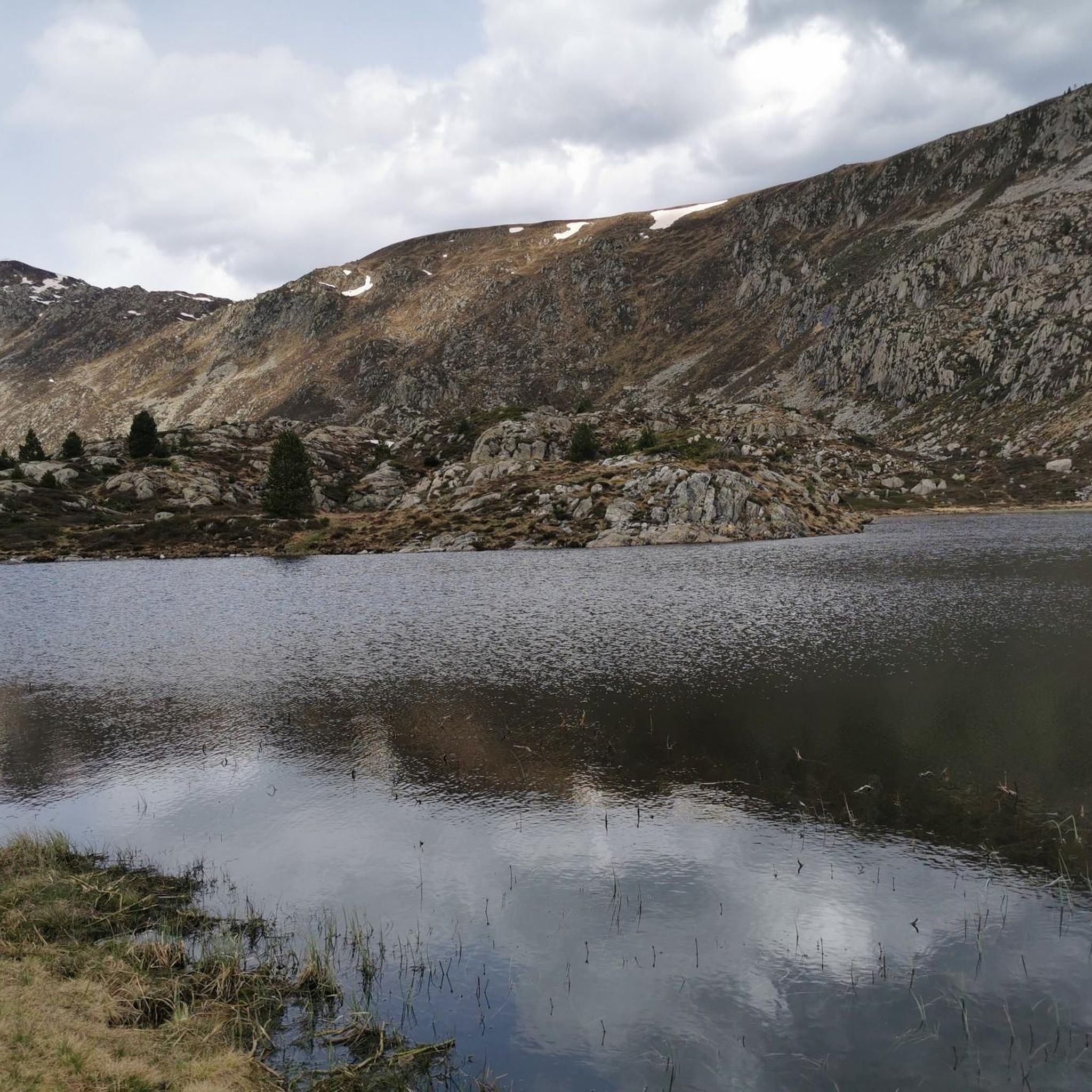
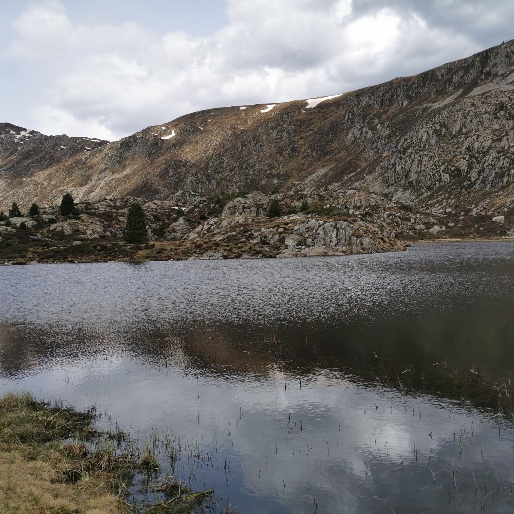
The Étang d'Arbu at 1726 m. It is a rather large, dark lake with small islands. You can see the Pic des Trois Seigneurs (Peak of the Three Lords) to the northeast.
0
0

Magnificent ponds at the foot of the cirque.
0
0
At the foot of the cirque, perfect for a refreshing break before tackling the tour of the cirque or the pic rouge de bassies. Very welcoming and helpful staff
1
0

It is a MUST in the Pyrenees, without a doubt, that should be included in any route that crosses the Pyrenees from side to side. Either of its slopes 2 is spectacular and tough. The views from its summit are wonderful, feeling the wild side of the Pyrenees. Of course, once at the summit of this pass... you have to descend to the Étang de Lers and enjoy a peaceful rest on the shores of the lake. It is a pass that has been part of the Tour de France route on several occasions, although always far from the finish line. The first professional rider to crest it in the lead was the unforgettable Marco Pantani in 1995.
0
0

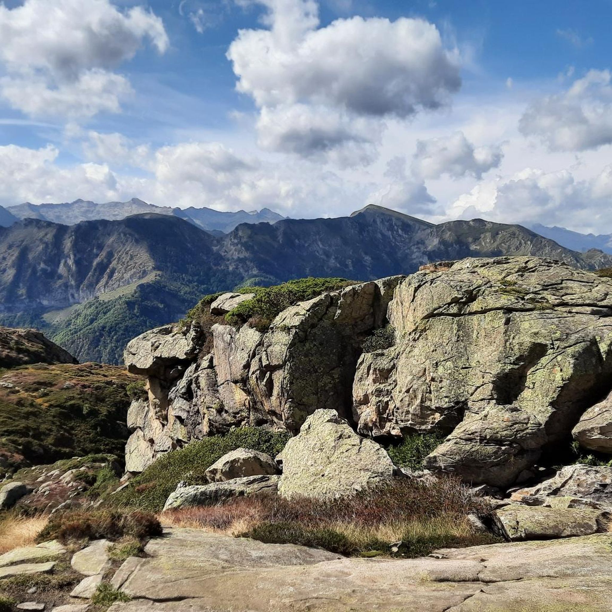
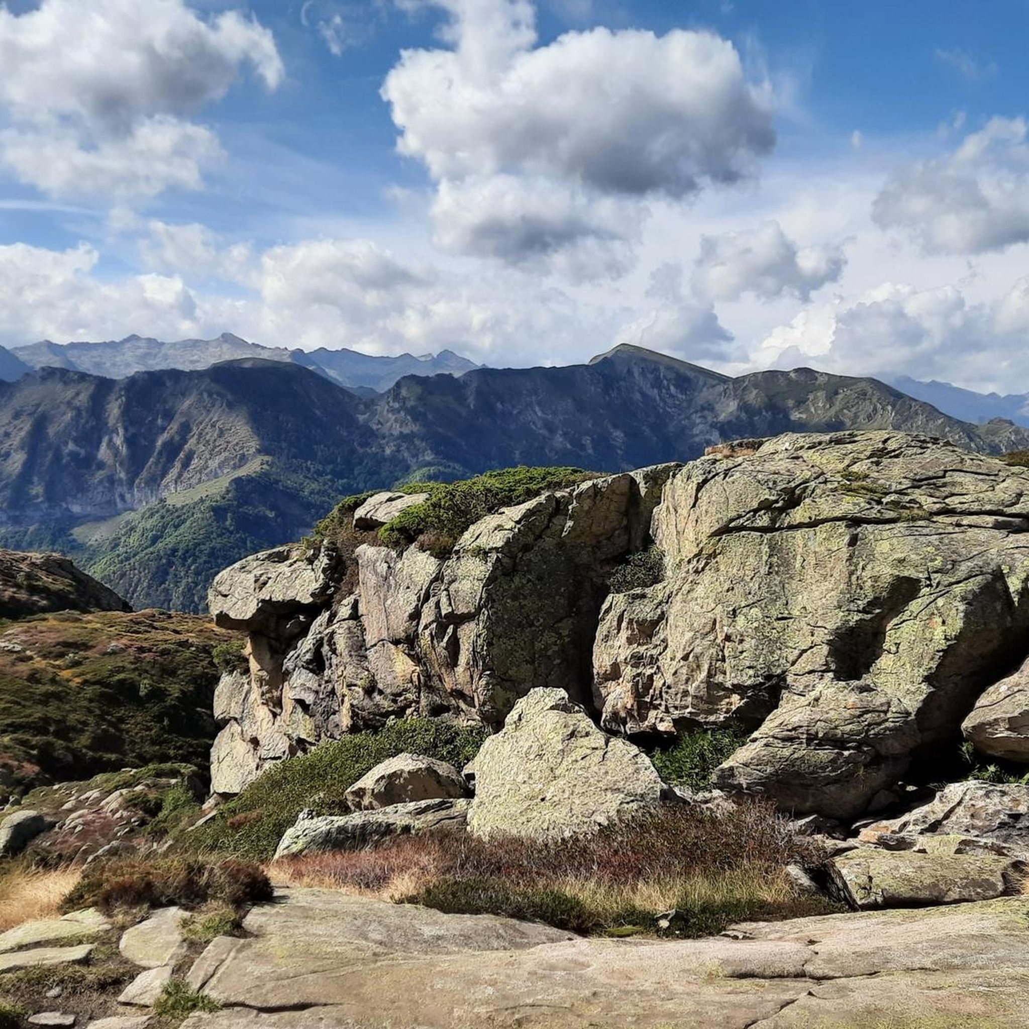
I liked the climb from the north side (from Massat), very scenic and alpine landscapes towards the end at the étang de Lers
0
0

Very welcoming and friendly staff, with a fantastic view of the Bassiès ponds.
1
0

One of the most beautiful places in Ariège. Whether you come in winter on snowshoes or in summer, the ponds are always as beautiful and impressive!
2
0
Frequently Asked Questions
How many running routes are available around Suc-et-Sentenac?
There are over 80 running routes around Suc-et-Sentenac, offering a wide range of options for different fitness levels. While many are challenging, you can also find easier paths through the varied terrain.
What kind of terrain can I expect on the running trails in Suc-et-Sentenac?
The region offers incredibly diverse terrain, from challenging mountain passes and peaks like Pic de Risoul to tranquil forests, lush valleys, and picturesque routes alongside natural lakes such as Étang d'Arbu. You'll experience a mix of Pyrenean and Mediterranean landscapes.
Are there any easy running routes for beginners in Suc-et-Sentenac?
While the majority of routes are rated as difficult, there are a couple of easier paths available. These typically traverse less steep sections of the valleys or forests, providing a gentler introduction to running in the Ariège Pyrenees.
What do other runners say about the trails in Suc-et-Sentenac?
The running routes in Suc-et-Sentenac are highly rated by the komoot community, with an average score of 4.3 stars from over 20 reviews. Runners often praise the stunning panoramic views, the preserved natural environment, and the diverse challenges offered by the trails.
Are there any long-distance running trails for experienced runners?
Absolutely. Suc-et-Sentenac is ideal for long-distance running. For example, the Refuge de Bassiès – Burgruine und Grotten loop from Val-de-Sos is a difficult 25.1 km path that traverses varied terrain, including forests and historical ruins. Another challenging option is the Burgruine und Grotten – Pic de Risoul loop from Val-de-Sos, spanning 17.6 km with significant elevation gain.
Can I find running routes that are circular?
Yes, many of the running routes in the area are designed as loops, allowing you to start and finish at the same point. A popular example is the Port de Lers – Étang d'Arbu loop from Port de Lers, a 7.4 km trail that takes you through mountain passes and past natural lakes.
Are there any scenic running trails with viewpoints or natural attractions?
Suc-et-Sentenac is rich in scenic beauty. Many routes offer breathtaking views from mountain passes like Agnès Pass and Lers Pass. You can also run past natural lakes such as Izourt Pond, or discover stunning waterfalls like the Ars Waterfall (Middle) and Fouillet Waterfall.
What are some interesting landmarks or points of interest I might encounter on a run?
Beyond the natural beauty, you can discover historical and cultural points of interest. Some routes pass by historical ruins, and you might even spot the Notre-Dame de Sabart Chapel. The wider region also features prehistoric caves like Lombrives and Niaux, offering intriguing detours if you wish to combine your run with cultural exploration.
Are there any running routes suitable for families?
While many routes are challenging, families can find suitable, shorter paths in the valleys or around the more accessible natural features. These easier trails offer a chance to enjoy the preserved natural environment together without significant elevation gains.
What is the best season for running in Suc-et-Sentenac?
The diverse terrain of Suc-et-Sentenac makes it suitable for running across multiple seasons. Spring and autumn offer pleasant temperatures and vibrant landscapes. Summer is excellent for higher altitude runs, while winter provides opportunities for snowshoeing or Nordic skiing, though some running trails might be less accessible due to snow.
Are there any running routes that pass by waterfalls?
Yes, the region is home to several beautiful waterfalls. You can find routes that lead you near the impressive Ars Waterfall (Middle), the Upper Ars Waterfall, or the picturesque Fouillet Waterfall, offering refreshing sights during your run.
Are there options for parking near the running trailheads?
Many trailheads, especially those for popular routes like the Port de Lers – Étang d'Arbu loop from Port de Lers, typically have designated parking areas. It's advisable to check specific route details on komoot for precise parking information before you head out.
Most popular routes around Suc-Et-Sentenac
Most popular attractions around Suc-Et-Sentenac

Get inspired with the komoot mobile app


Explore more
Browse the best Running Trails & Routes in other regions.
