The best running trails around Burret
4.2
(21)
1,280
runners
71
runs
Jogging routes around Burret offer a diverse landscape for runners, characterized by varied terrain including hills and forested areas. The region features routes that traverse natural parks, providing opportunities to experience the local environment. Elevation changes are common, with some routes featuring significant climbs. The trails are suitable for different fitness levels, from moderate paths to more challenging ascents.
Best jogging routes around Burret
- The most popular jogging route is Le cap du Carmil – trail starting from Col des…
Last updated: November 4, 2026
24
runners
Hard run. Very good fitness required. Mostly paved surfaces.
90
runners
22.4km
03:40
1,230m
1,230m
Hard run. Very good fitness required. Sure-footedness, sturdy shoes and alpine experience required.

72
runners
12.1km
02:34
1,080m
1,080m
Hard run. Very good fitness required. Sure-footedness, sturdy shoes and alpine experience required.
9
runners
11.6km
01:12
70m
70m
Moderate run. Good fitness required. Mostly paved surfaces.
7
runners
20.0km
02:27
440m
440m
Hard run. Very good fitness required. Mostly paved surfaces.
Get access to more routes and recommendations from other explorers.
Already have an account?
Our route recommendations are based on thousands of hikes, rides, and runs completed by other people on komoot.
Start today with a free account
Your next adventure awaits.
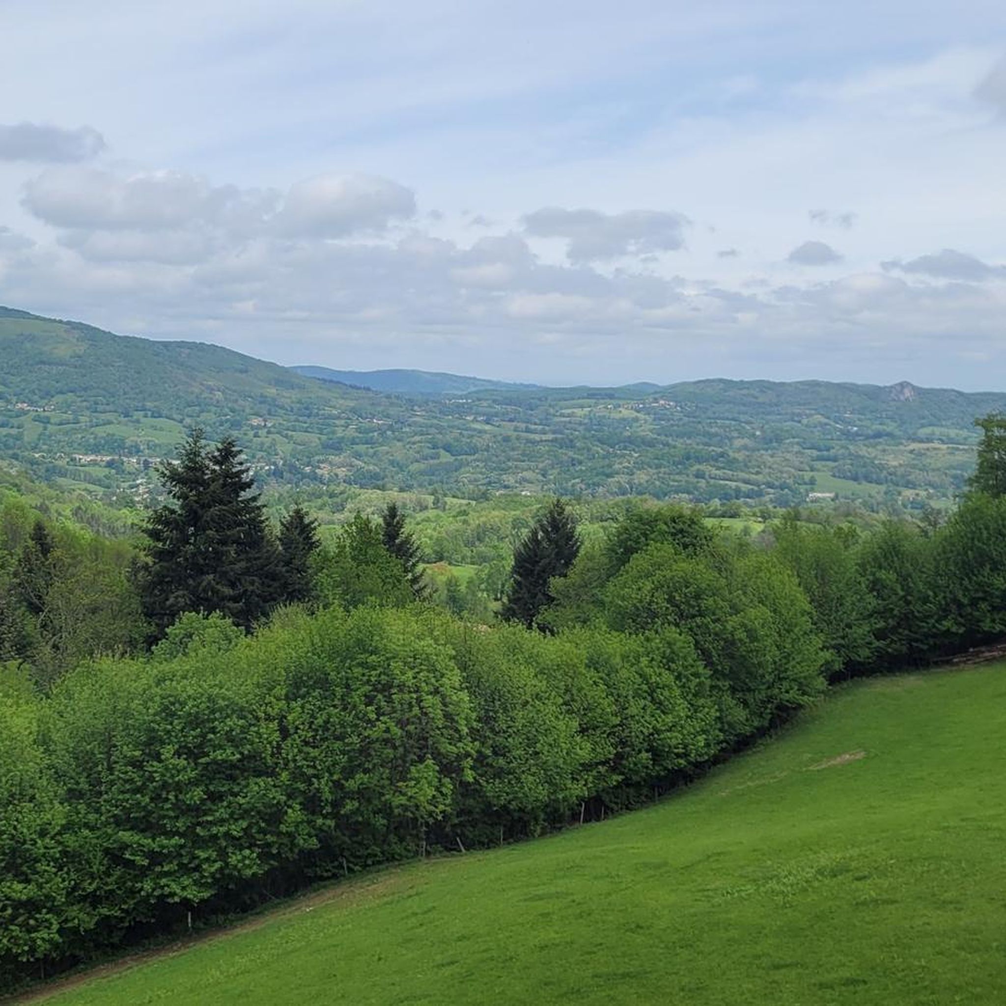
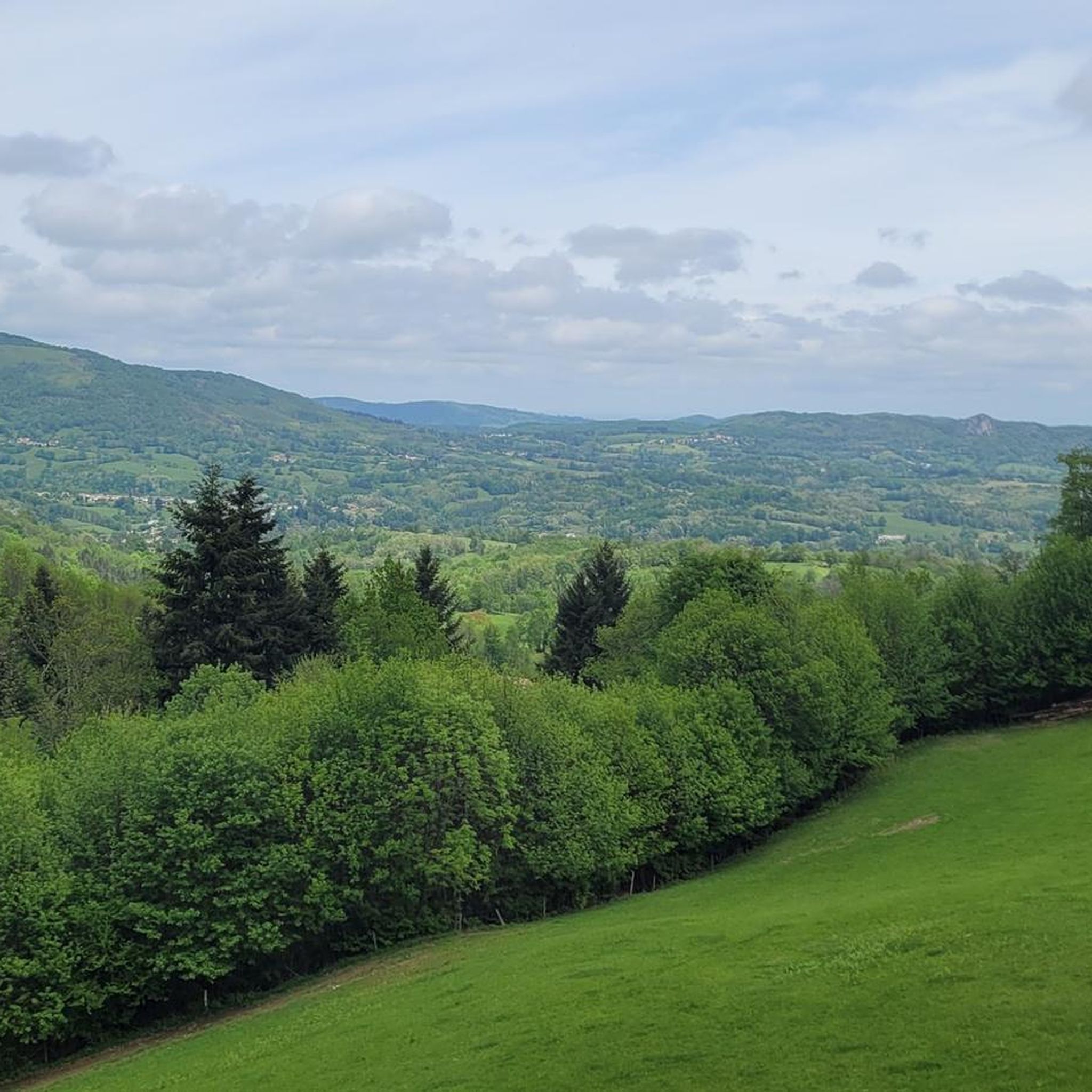
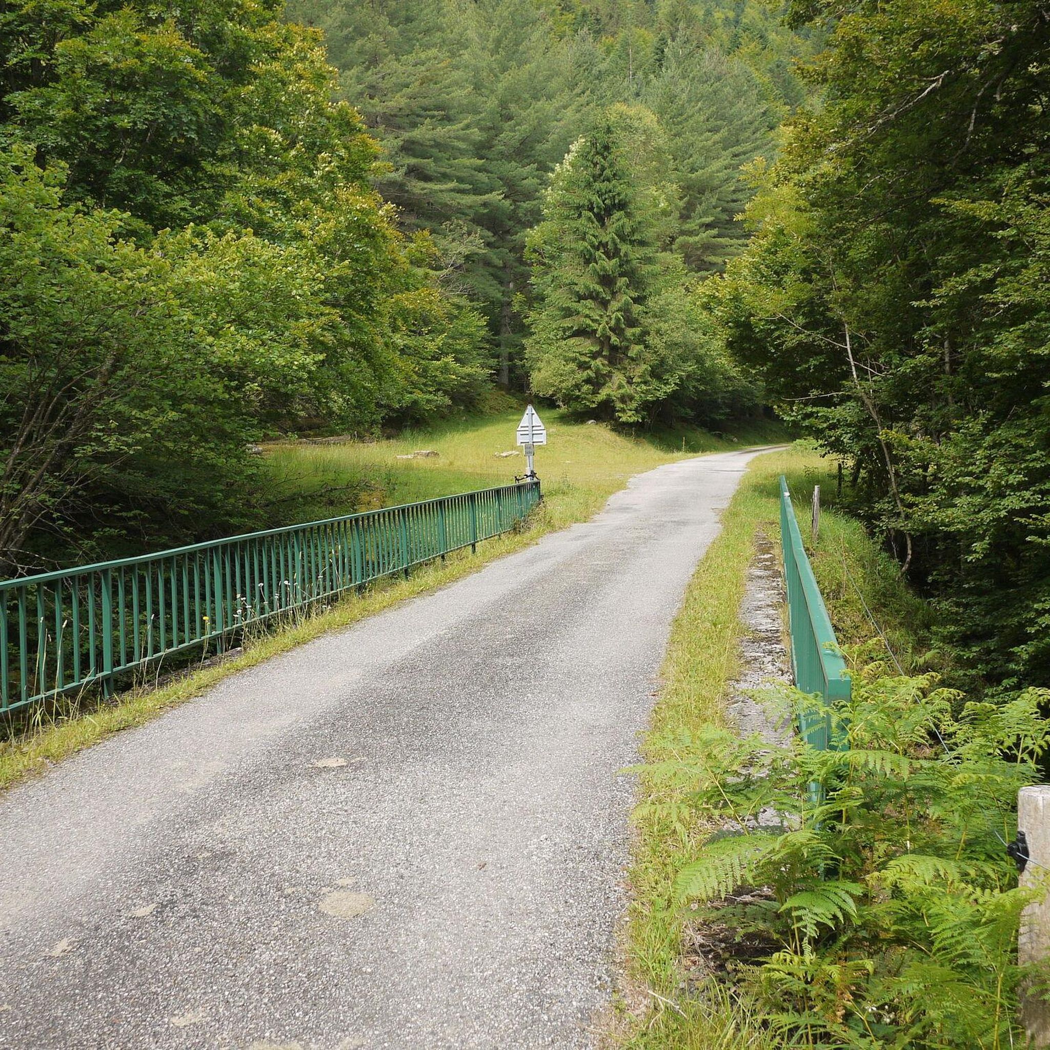
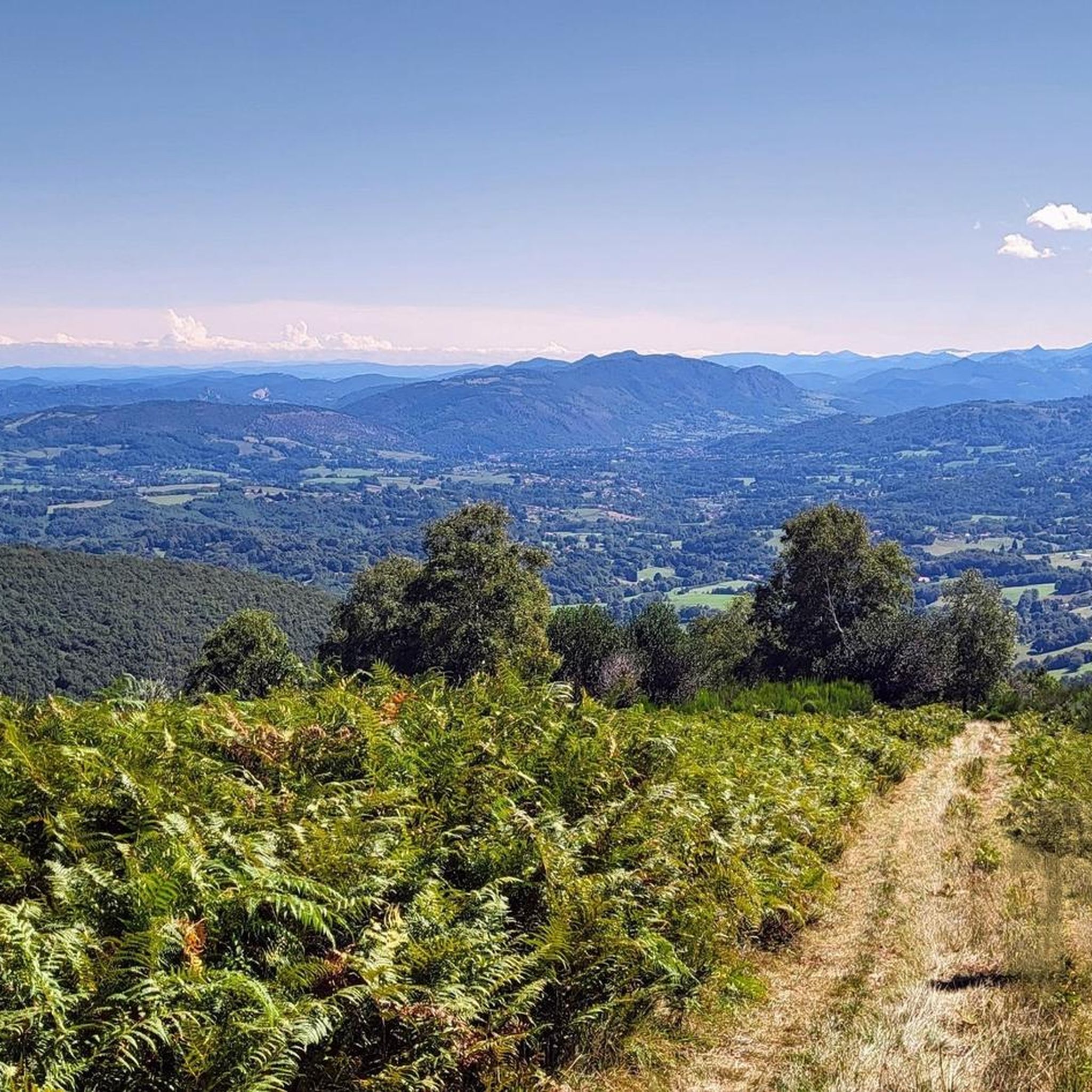

Tips from the Community

The Lac de Mondély is a picturesque reservoir in the French department of Ariège, about 10 km from Mas-d'Azil. With its emerald green color and wooded shores, it is a popular destination for walks, picnics, and nature observation. A circular trail about 8 km long leads around the lake and is well-suited for a leisurely hike. Fishing is permitted (with a valid fishing license). However, swimming has been prohibited since 2023. There are parking spaces on site and a snack bar during the season.
0
0

From the Cap du Carmil, enjoy an exceptional panorama of the Ariège Pyrenees and the surrounding valleys. A viewpoint that is well worth the climb. At the summit, your gaze extends far over the mountains and forests of Ariège. An unmissable spot for lovers of wide-open spaces.
1
0

With a river bordering it 🏞️
0
0


Very surprising, quite and beautiful area, didn't see cars in july for maaaany km, just cyclists.
0
0

Superb hilly loop, first few kilometers difficult, magnificent landscape, return by the greenway going down.👍
0
0

Magnificent site with a 360° panorama of the cross-border chain and valleys.
1
0

A very pretty little pass, away from the traffic.
1
0
Frequently Asked Questions
How many running routes are available around Burret?
There are over 60 running routes available around Burret, offering a wide range of options for different fitness levels and preferences. You'll find everything from moderate paths to challenging ascents.
What kind of terrain can I expect on the jogging trails in Burret?
The jogging routes around Burret are characterized by varied terrain, including hills and forested areas. Many routes traverse natural parks, providing opportunities to experience the local environment. Expect elevation changes, with some routes featuring significant climbs.
Are there running routes suitable for beginners in Burret?
Yes, while many routes are moderate to difficult, there are options suitable for beginners. You can find several moderate paths, and even one easy route, to help you get started with running in the region.
What do other runners say about the trails in Burret?
The running routes in Burret are highly rated by the komoot community, with an average score of 4.4 stars from over 15 reviews. More than 900 runners have used komoot to explore Burret's varied terrain, often praising the challenging climbs and scenic views.
Can I find circular running routes in Burret?
Yes, there are several circular running routes available. For example, the Running loop from Serres-sur-Arget is a popular 4.2-mile (6.7 km) option, and the more challenging Le Picou – Cap du Carmil loop from Serres-sur-Arget offers an extensive long-distance experience.
Are there any long-distance running options for experienced runners?
Absolutely. Experienced runners looking for a challenge will find several difficult and long-distance options. The Le Picou – Cap du Carmil loop from Serres-sur-Arget is a prime example, covering 24.7 miles (39.7 km) with substantial climbs.
What are some scenic jogging routes in Burret?
Many routes offer scenic views, especially those that lead to viewpoints or summits. Consider routes that pass near highlights like Cap du Carmil or offer a Panoramic View of the Ariège Pyrenees. The region's forested paths and natural parks provide beautiful backdrops for your run.
Are there any natural landmarks or attractions to see along the running trails?
Yes, the region around Burret is rich in natural landmarks. You might encounter highlights such as Cap du Carmil, Lac de Mondély, or the Roc de Caralp. These natural monuments often provide stunning views and interesting points along your run.
What is the typical duration for jogging routes in Burret?
The duration of jogging routes in Burret varies significantly depending on the distance and difficulty. Shorter, moderate routes like the Running loop from Serres-sur-Arget can be completed in about 50 minutes, while longer, difficult trails such as Le Picou – Cap du Carmil loop from Serres-sur-Arget can take several hours.
Are there any historical or cultural points of interest near the running trails?
While the running trails themselves focus on natural landscapes, the broader region offers cultural attractions. For instance, the historic Foix Castle is a notable landmark in the vicinity, offering a glimpse into the area's heritage.
Can I find routes that are suitable for trail running with significant elevation gain?
Absolutely. Burret is known for its challenging terrain, and many routes feature significant elevation gain, making them ideal for trail runners. The Le cap du Carmil – trail starting from Col des Marrous, for example, is a difficult 8.4-mile (13.5 km) trail with substantial climbs through the regional natural park.
Are there any routes that connect to larger trail networks?
The region's natural parks and forested areas suggest connections to broader trail networks. While specific connections aren't detailed for every route, the extensive network of trails within the regional natural park implies opportunities for longer, interconnected runs.
Most popular attractions around Burret

Get inspired with the komoot mobile app


Explore more
Browse the best Running Trails & Routes in other regions.
