The best walks and hikes around Onlay
4.2
(579)
2,372
hikers
143
hikes
Hiking around Onlay is an activity that explores a region characterized by varied terrain, including woodlands, open fields, and gentle hills. The area offers a network of trails that traverse through natural landscapes and past local points of interest. Elevation changes are moderate, providing accessible routes for different hiking abilities. The trails often lead through rural settings, connecting villages and natural features.
Best hiking trails around Onlay
- The most popular hiking route is Rangère Circuit, a 6.2 miles (9.9…
Last updated: November 5, 2026
3.7
(19)
67
hikers
9.90km
02:58
320m
320m
Moderate hike. Good fitness required. Mostly walkable paths. Sure-footedness required.
4.5
(21)
77
hikers
5.26km
01:32
140m
140m
Easy hike. Easily walkable paths.

3.8
(8)
24
hikers
8.54km
02:24
180m
180m
Moderate hike. Good fitness required. Easily walkable paths.
3.9
(9)
23
hikers
9.42km
02:41
220m
220m
Moderate hike. Good fitness required. Easily walkable paths.
4.6
(8)
32
hikers
10.1km
02:59
300m
290m
Moderate hike. Good fitness required. Easily walkable paths.
Get access to more routes and recommendations from other explorers.
Already have an account?
Our route recommendations are based on thousands of hikes, rides, and runs completed by other people on komoot.
Start today with a free account
Your next adventure awaits.

Tips from the Community

Built on a granite outcrop, the Virgin of Onlay overlooks the village and offers a beautiful panorama of the valley. This statue, dating from 1900 and once a place of procession, remains an iconic landmark of the Morvan region.
0
0

Trail past the waterfall is essentially blocked by many fallen trees. I would recommend the alternative trail from Villapourcon of about 11 km.
1
0

After the waterfall, the path is no longer easy to follow. There must have been a storm; a pile of fallen trees are lying around, and the path is no longer recognizable. It gets better again after crossing the small river.
3
0

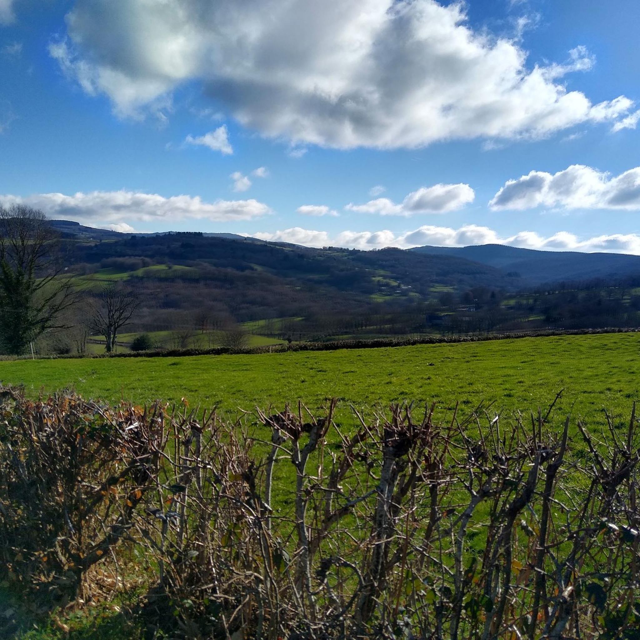
A magnificent view of the town
0
0

Beautiful, recommended walk. Small problem: the indicated right turn at km 6.44 is a non-accessible private road. Simply continue and turn right at km 7.32 to find the proposed road again after +/- 150 m (uphill).
2
0
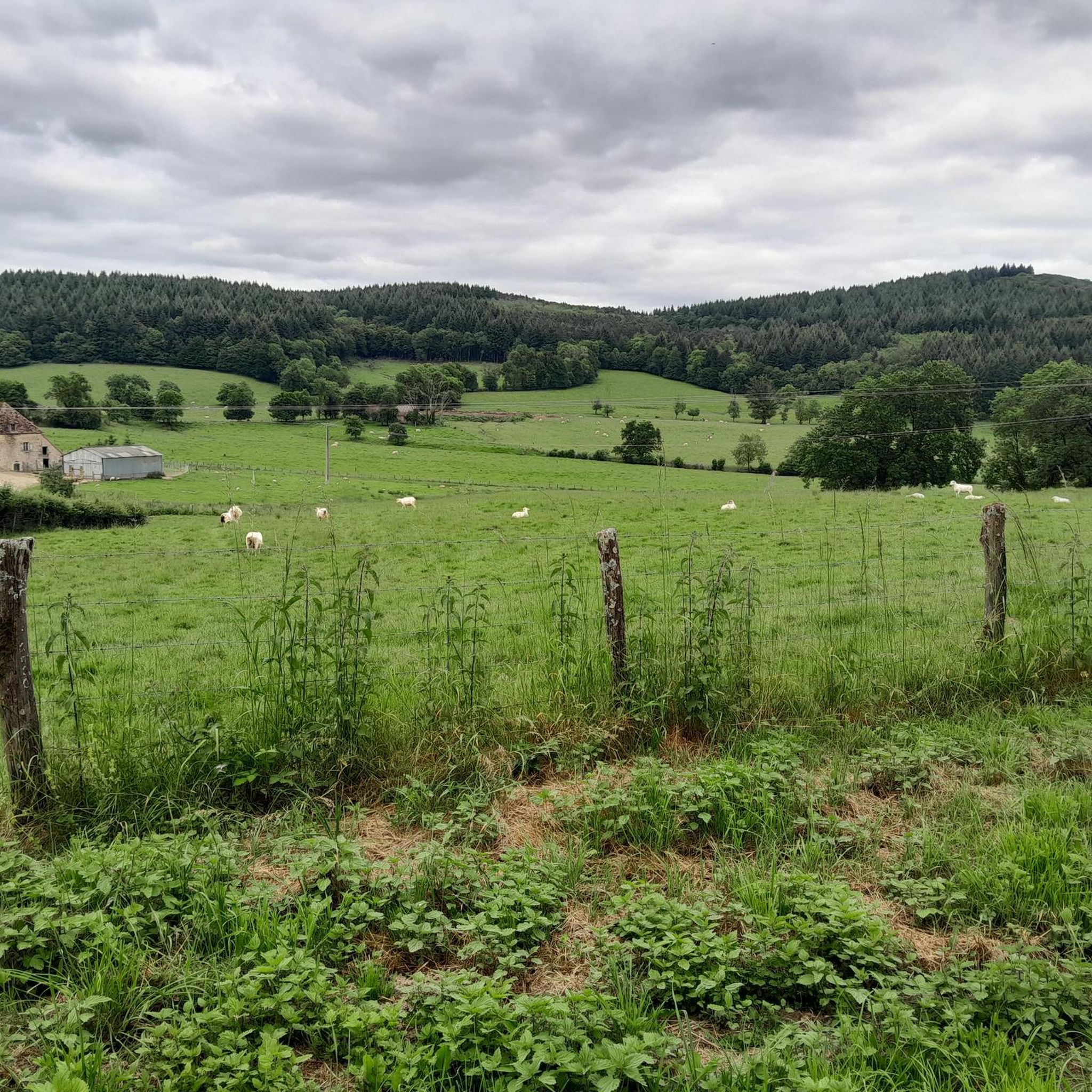
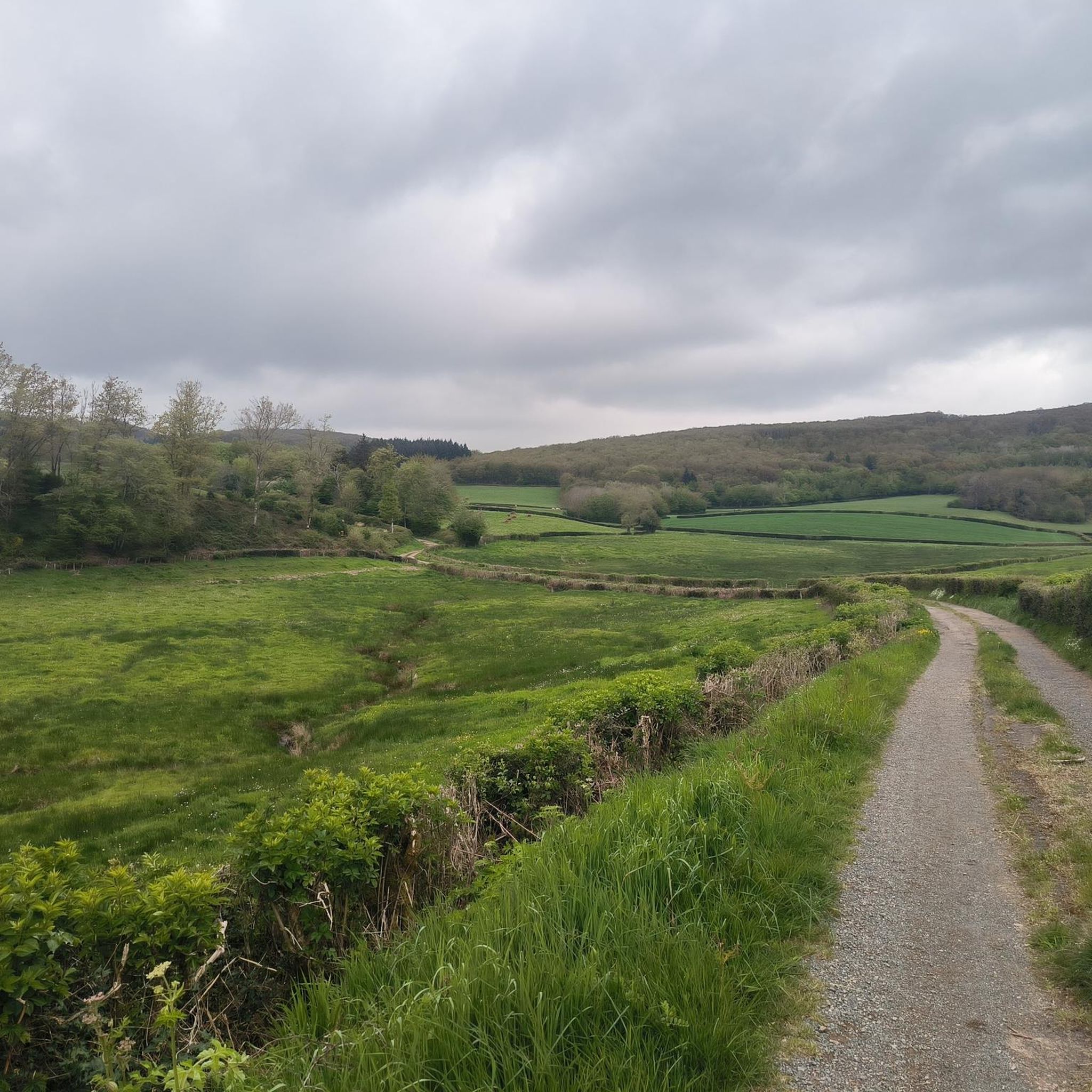
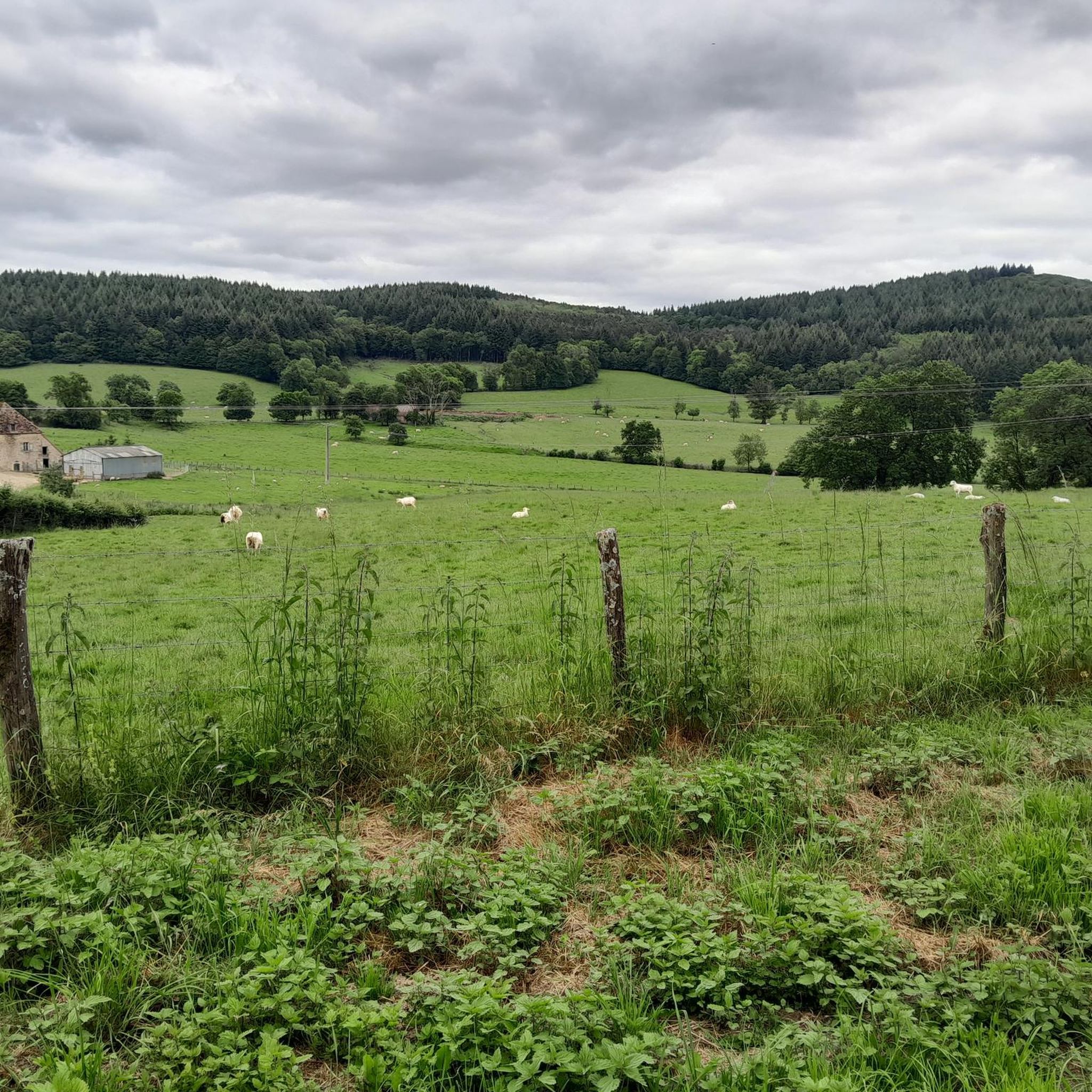
Superb view over the meadows and hills of the Morvan.
0
0

This beautiful lake surrounded by green hills and trees is a delight to behold. It supplies the neighboring mill of the same name.
4
0
The Morvan natural park has many wild rivers and this one is no exception to the rule. Not far from its source, the Dragne tumbles over the rocks and is worth a visit.
5
0
Frequently Asked Questions
How many hiking trails are available around Onlay?
Onlay offers a wide selection of hiking opportunities, with over 140 routes available. These trails traverse varied terrain, including woodlands, open fields, and gentle hills, providing options for different skill levels.
Are there any easy hiking trails suitable for beginners or a relaxed stroll?
Yes, Onlay has plenty of easy trails. Approximately 65 routes are classified as easy, making them perfect for a relaxed walk through the region's natural landscapes. An example is the Dragne waterfall – Dragne Waterfall loop from Villapourçon, which is 3.5 miles (5.6 km) long and takes about 1 hour 42 minutes.
Can I find circular hiking routes in Onlay?
Many of the trails around Onlay are designed as loops, allowing you to start and end your hike in the same location. The Hiking loop from Onlay is a popular moderate option, covering 6.3 miles (10.1 km) with views of the surrounding countryside.
Are there any challenging hikes for experienced trekkers?
While Onlay is known for its moderate and easy trails, there are a few more challenging options. The region features 7 routes classified as difficult, offering more significant elevation changes and longer distances for those seeking a greater challenge.
What kind of natural attractions can I see while hiking in Onlay?
Hikers in Onlay can discover several natural attractions. The Dragne Waterfall is a notable feature, and you can explore trails that lead through woodlands and open fields. The region also offers views towards the Haut-Folin Pass and Mount Beuvray.
Are there any historical landmarks or points of interest near the hiking trails?
Yes, the area around Onlay is dotted with historical points of interest. You can find several castles, such as Vandenesse Castle, Château de Saulières, and Château de Besne. The Eglise romane de Préporché – Préporché Church loop from Préporché also offers a cultural highlight.
What do other hikers say about the trails in Onlay?
The hiking routes in Onlay are highly regarded by the komoot community, holding an average rating of 4.2 stars from over 400 reviews. Hikers often appreciate the varied terrain, which includes woodlands, open fields, and gentle hills, making for enjoyable excursions.
Are there any trails that pass by old mills or unique historical structures?
Yes, some trails offer glimpses into the region's past. For instance, the Oude watermolen. loop from Poiseux d'en haut takes you past an old watermill, adding a historical element to your hike.
What is the typical terrain like for hiking around Onlay?
Hiking around Onlay is characterized by varied terrain, including woodlands, open fields, and gentle hills. The elevation changes are generally moderate, making most routes accessible while still offering engaging natural landscapes.
Is there a recommended hike for someone looking for a moderate route with varied scenery?
For a moderate route with varied scenery, consider the Rangère Circuit. This 6.2-mile (9.9 km) trail features diverse terrain and an elevation gain of 1050 feet (320 meters), typically taking around 2 hours 57 minutes to complete.
Most popular attractions around Onlay

Get inspired with the komoot mobile app


Explore more
Browse the best Hikes in other regions.
