The best running trails around Pohlern
4.5
(304)
12,805
runners
463
runs
Jogging around Pohlern offers diverse terrain, transitioning from agricultural land in the north to increasingly mountainous areas towards the Stockhorn chain in the south. The region is characterized by extensive forests, including Bodenwald and Engiwald, providing shaded paths ideal for trail running. Several streams, such as the Engibach and Teuffibach, originate on the northern slopes of the Stockhorn chain, adding scenic elements to many running routes. With elevations ranging from 672 meters to 2076 meters above sea level, Pohlern accommodates…
Last updated: August 7, 2026
5.0
(1)
47
runners
14.4km
02:56
1,190m
1,190m
Hard run. Very good fitness required. Sure-footedness, sturdy shoes and alpine experience required.
22
runners
6.99km
00:44
90m
90m
Moderate run. Good fitness required. Mostly paved surfaces. Suitable for all skill levels.

Sign up for free
4
runners
5.78km
00:54
260m
270m
Hard run. Good fitness required. Sure-footedness, sturdy shoes and alpine experience required.
6
runners
12.6km
01:49
600m
600m
Hard run. Very good fitness required. Sure-footedness, sturdy shoes and alpine experience required.
3
runners
15.0km
01:57
520m
520m
Hard run. Very good fitness required. Mostly paved surfaces. Suitable for all skill levels.
Get access to more routes and recommendations from other explorers.
Sign up for free
Already have an account?
Our route recommendations are based on thousands of hikes, rides, and runs completed by other people on komoot.
Start today with a free account
Your next adventure awaits.
Login or Signup
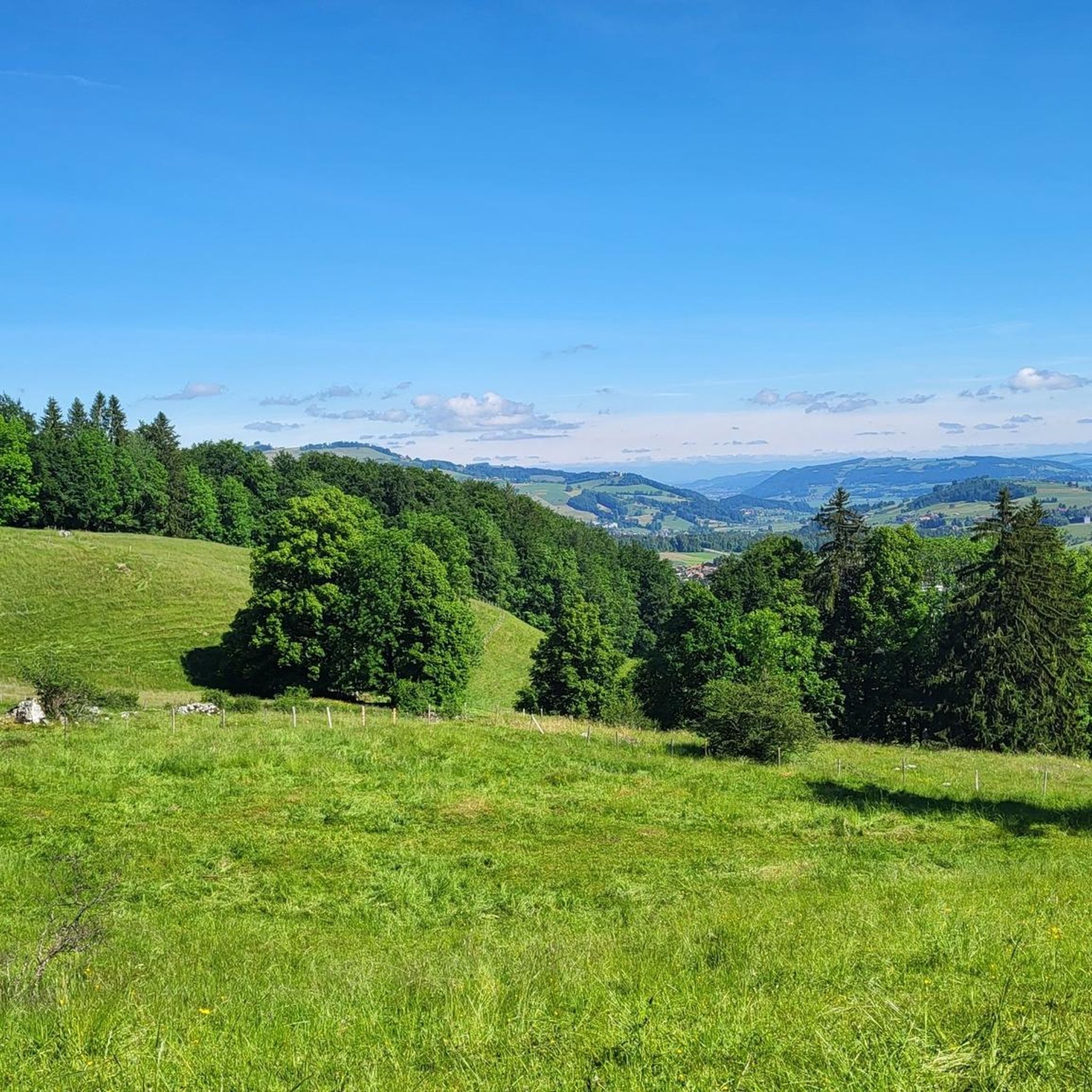
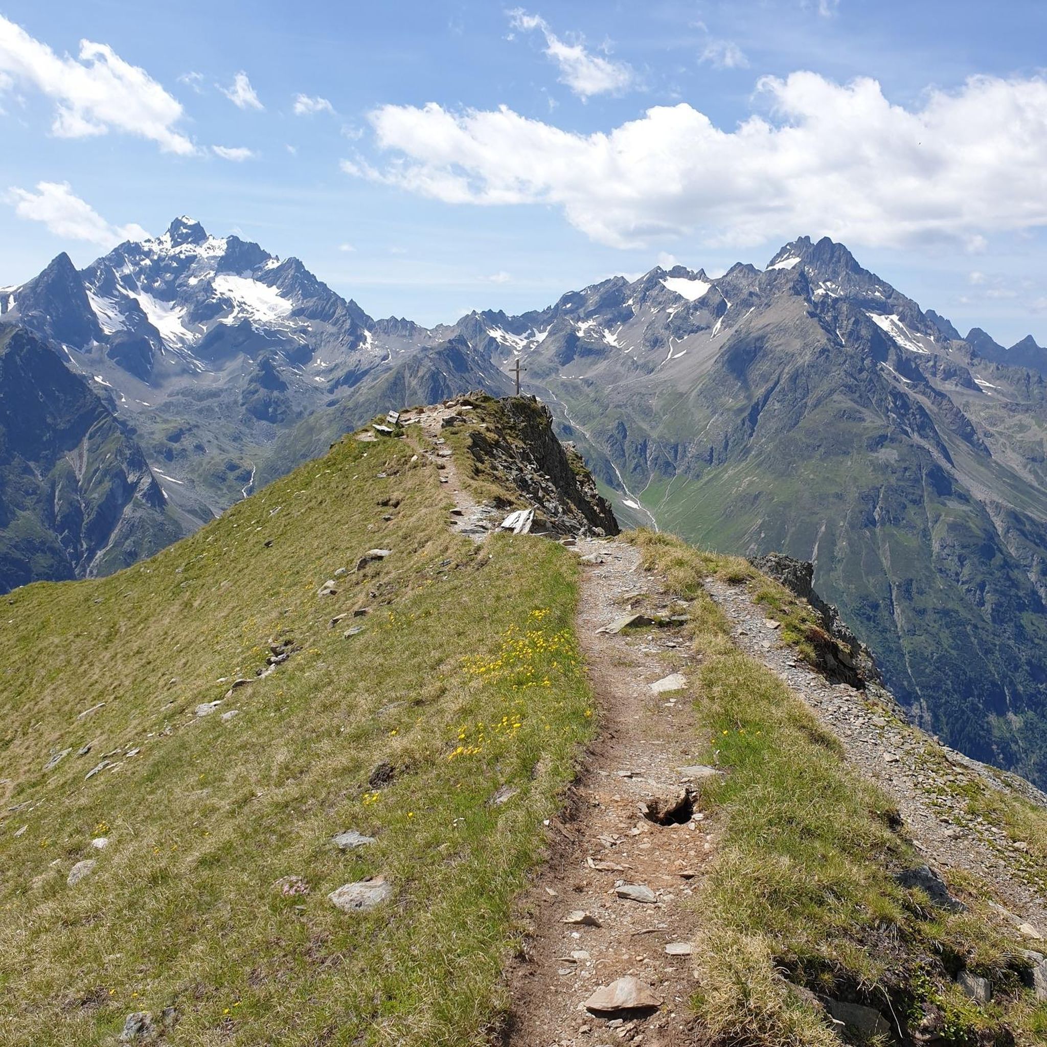
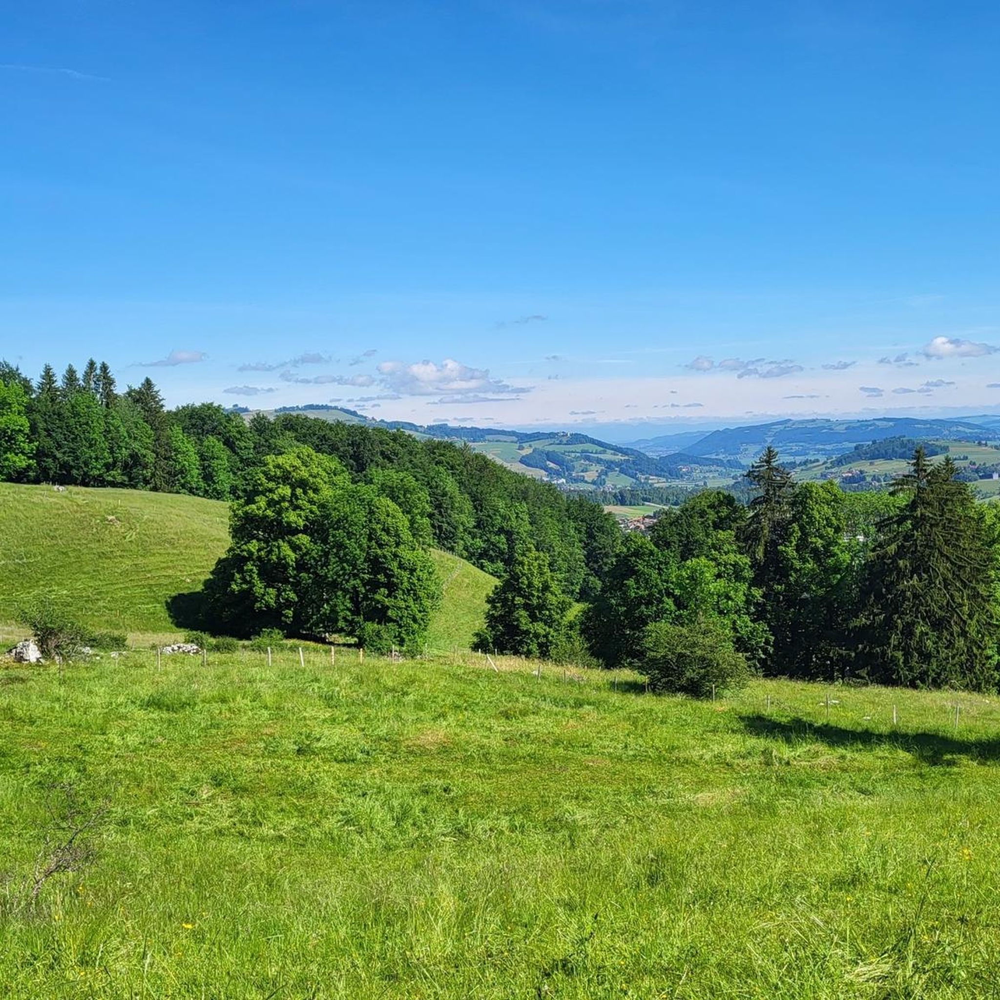
Tips from the Community

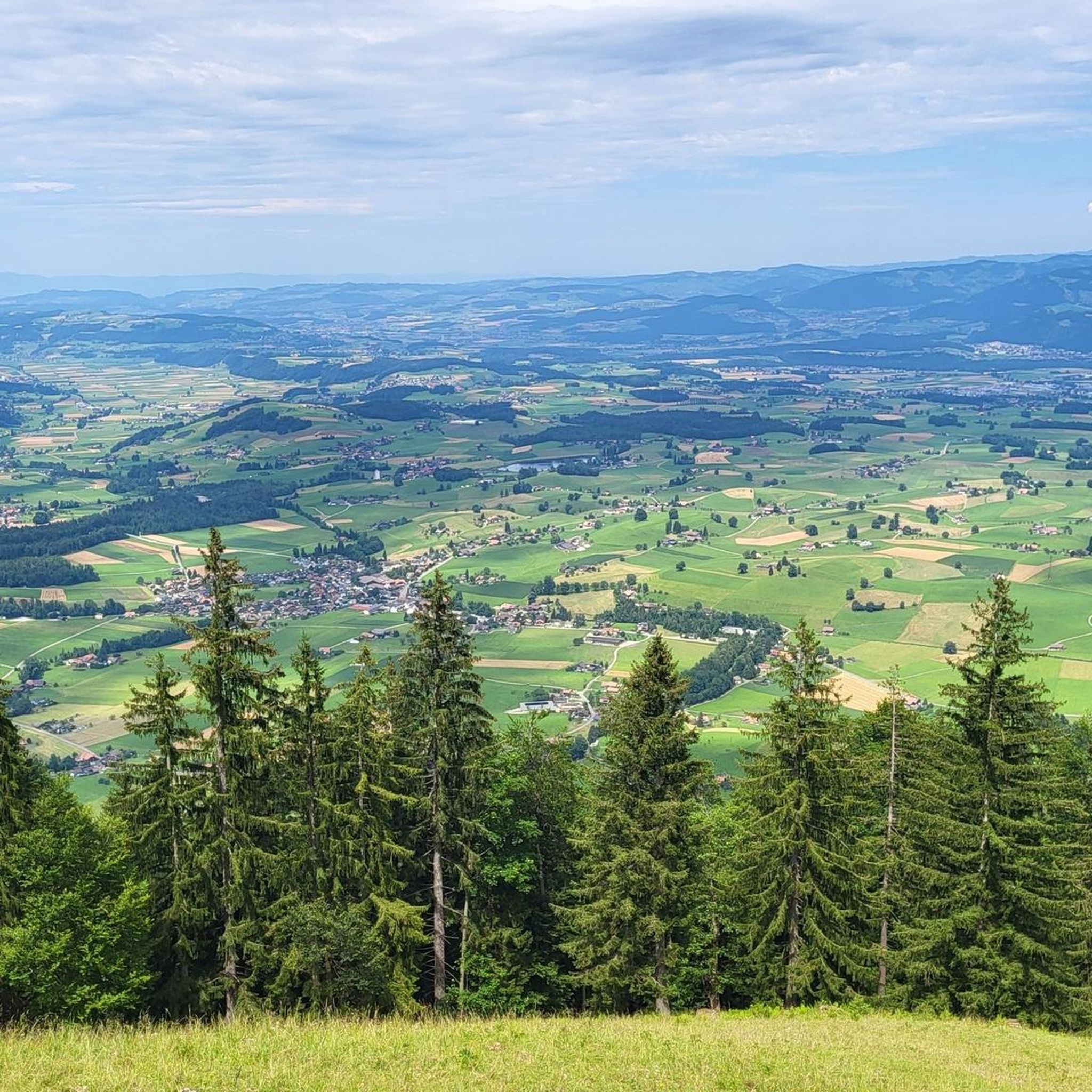
It's called Chatz u Muus (Cat and Mouse). That's because, from the Gürbe Valley, it looks as if a cat (Chatz) and a mouse (Muus) are sitting opposite each other. 🐁_🐈⬛
0
0

🌊 Oberstockensee – A mountain lake straight out of a picture book 🏔️✨ Oberstockensee is idyllically situated at around 1,650 m altitude, nestled in the impressive mountain world of the Stockhorn. It is a true natural jewel and perfect for a relaxing break in the Alps. 🥾 Accessibility: Start from the Chrindi middle station 🚡 🌟 Highlights: Crystal-clear water – ideal for cooling off on hot days ❄️ Reflecting mountain scenery – perfect for photos 📸 Fishing allowed – a paradise for anglers 🎣
1
0

Beautiful alpine pasture with restaurant. Closed in winter, however
11
1
A wonderful summit to enjoy a spectacular view! 🥾🏔️ The ascent offers varied paths. Once you reach the top, an impressive panoramic view over the entire Bernese Oberland awaits you. 📸🌟
1
0

Beautiful alpine pasture that is also a mountain restaurant in summer. In winter you can relax here and enjoy food from your backpack.
4
0

Swimming in the lake is reserved for the local population
0
0

If you like, you can fish at the lake; the appropriate equipment can be rented at the lake.
1
1

When we, as Thunersee residents, go to the Stockhorn, we always combine it with a visit to the Oberstockenalp mountain inn. It is a cozy place with a small terrace that does not allow large crowds of visitors. The staff is very friendly and attentive and fulfills every wish if possible. The range of food and drinks is also plentiful in line with the setting. We particularly noticed the variety of desserts. Since the inn's cellars contain home-made alpine cheese, it's only natural that your rucksack will be a bit heavier after your visit. Did we mention that you can also stay here overnight? Not? In addition to double rooms and dormitories, there are also star beds. Three igloos with transparent domes that contain a cozy double bed that promise pure romance on a starry night. For us, the Gasthaus Oberstockenalp, along with all the other natural highlights around the Stockhorn that have already been mentioned a thousand times, is the thing to do.
0
0
Frequently Asked Questions
How many running routes are available in Pohlern?
Pohlern offers a wide selection of running routes, with over 480 trails available for exploration. These range from easy paths to more challenging mountain runs.
What kind of terrain can I expect on running trails in Pohlern?
The terrain in Pohlern is highly varied. You'll find gentle runs through agricultural land in the north, extensive shaded paths through forests like Bodenwald and Engiwald, and increasingly mountainous territory towards the Stockhorn chain in the south. Elevations span from 672 meters to over 2000 meters, offering diverse experiences.
Are there running routes suitable for beginners or easy runs in Pohlern?
Yes, Pohlern has options for all fitness levels. There are 46 easy running routes, perfect for beginners or those looking for a relaxed jog. Many of these traverse agricultural areas or offer gentler profiles, such as the Übeschisee loop from Stocken-Höfen, which is 4.3 miles (7.0 km) long and leads through agricultural land and past the Uebeschisee.
Can I find running trails with scenic views or landmarks in Pohlern?
Absolutely. Many routes offer breathtaking views, especially those ascending towards the Stockhorn, providing panoramic vistas. You can also incorporate historical landmarks like the Rock Tunnel and ZSO Thun-West Bench into your run. For stunning natural beauty, consider routes near the Stockhorn Summit & Panoramic Viewpoint or the serene Hinterstockensee.
Are there any running routes that pass by waterfalls in Pohlern?
Yes, the region boasts beautiful waterfalls that can be part of your running adventure. The Zulgschwelle and Gürbefall Waterfall are notable highlights. The Fallbach Waterfall, accessible from Blumenstein, is another visually stunning natural feature that can be incorporated into a rewarding jogging experience.
What do other runners enjoy the most about jogging in Pohlern?
The running routes in Pohlern are highly rated by the komoot community, with an average score of 4.6 stars from over 230 reviews. Runners often praise the diverse terrain, from quiet woodlands to challenging mountain paths, and the scenic beauty of the streams and mountainous backdrops.
Are there any challenging running routes for experienced runners?
Pohlern offers 91 difficult routes for those seeking a challenge. For instance, the Chatz Cross loop from Blumenstein is an 8.8 miles (14.1 km) trail with significant elevation gain through mountainous terrain, taking nearly 3 hours to complete. Another demanding option is the Running loop from Blumenstein, which covers 12.6 km with over 600 meters of elevation gain.
Are there running routes that are circular?
Many of Pohlern's running routes are designed as loops, offering convenient starting and ending points. Examples include the popular Uebeschisee – Übeschisee loop from Uebeschi, a moderate 8.8 miles (14.2 km) path around the lake, and the Wattenwil Pedestrian Bridge loop from Blumenstein, a difficult 15 km route.
What is the best time of year for trail running in Pohlern?
Pohlern offers great running conditions throughout much of the year. Spring and autumn provide pleasant temperatures and beautiful scenery, with vibrant foliage in the fall. Summer is ideal for shaded forest trails, while winter running is possible, though conditions may vary with snow and ice at higher elevations.
Are there running trails suitable for families?
Yes, Pohlern has easy running trails that are well-suited for families. These routes typically feature gentler profiles and less challenging terrain, often passing through agricultural areas or along serene streams, providing an enjoyable experience for all ages.
Are dogs allowed on the running trails in Pohlern?
Generally, dogs are welcome on trails in the Pohlern region. However, it's always advisable to keep them on a leash, especially in agricultural areas, near livestock, or in nature protection zones, to ensure the safety and comfort of everyone, including local wildlife.
Are there any running routes near lakes?
Yes, you can find pleasant running routes around the Uebeschisee. The Uebeschisee – Übeschisee loop from Uebeschi is a popular moderate path that offers a gentler profile around the lake, perfect for a scenic run.
Most popular routes around Pohlern
Most popular attractions around Pohlern

Get inspired with the komoot mobile app


Explore more
Browse the best Running Trails & Routes in other regions.
