The best running trails around Attiswil
4.4
(301)
7,922
runners
405
runs
Jogging routes around Attiswil offer a diverse landscape for runners, characterized by the nearby Aare River and its promenades, as well as the varied terrain leading towards the Jura mountains. The region features a mix of relatively flat paths suitable for accessible running and more challenging routes with moderate elevation gains. Runners can explore areas with open fields, dense forests, and scenic viewpoints overlooking the surrounding Swiss landscape.
Best jogging routes around Attiswil
- The most popular jogging route is View…
Last updated: September 30, 2026
26
runners
28.6km
03:05
140m
140m
Hard run. Very good fitness required. Mostly paved surfaces. Suitable for all skill levels.
10
runners
Moderate run. Good fitness required. Mostly paved surfaces. Suitable for all skill levels.

7
runners
Moderate run. Good fitness required. Mostly paved surfaces. Suitable for all skill levels.
7
runners
7.96km
00:50
60m
60m
Moderate run. Good fitness required. Mostly paved surfaces. Suitable for all skill levels.
6
runners
Moderate run. Good fitness required. Mostly paved surfaces. Suitable for all skill levels.
Get access to more routes and recommendations from other explorers.
Already have an account?
Our route recommendations are based on thousands of hikes, rides, and runs completed by other people on komoot.
Start today with a free account
Your next adventure awaits.
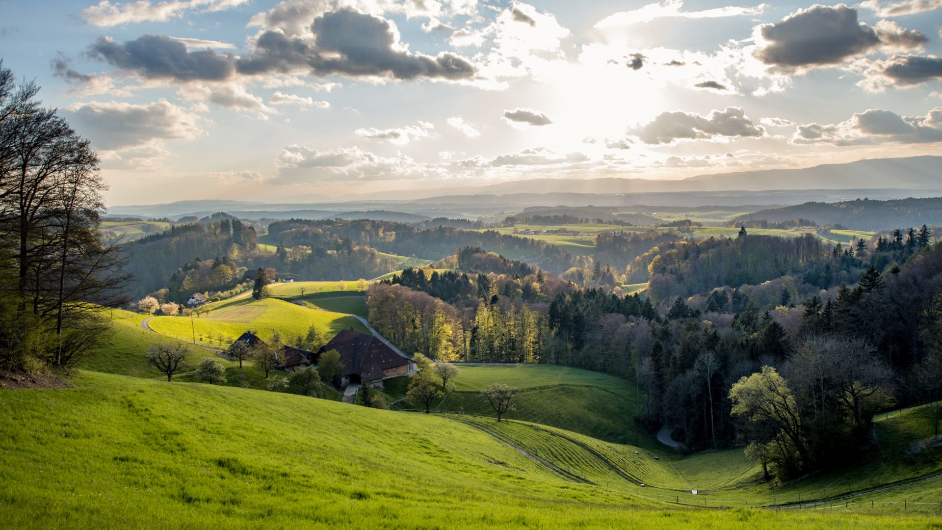
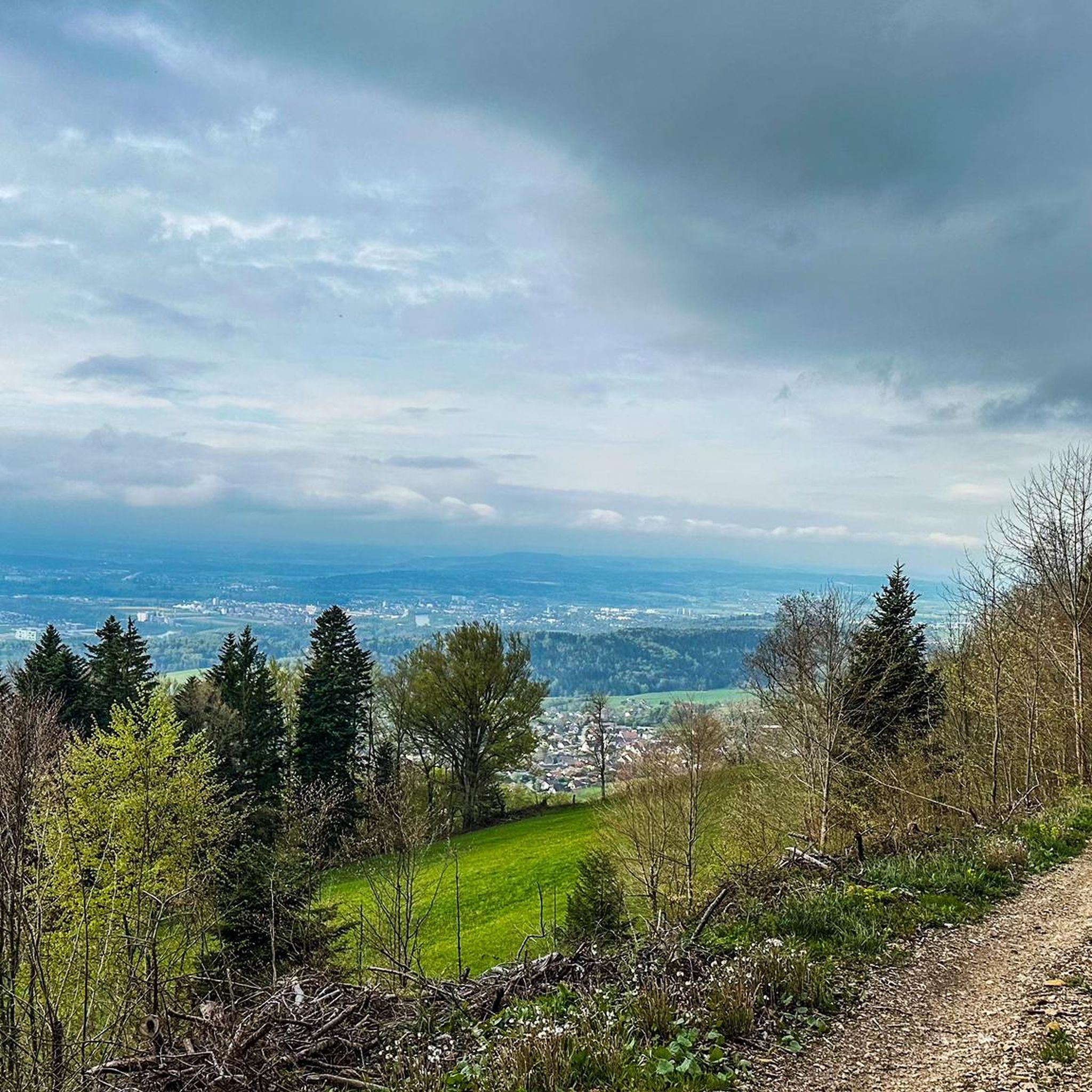
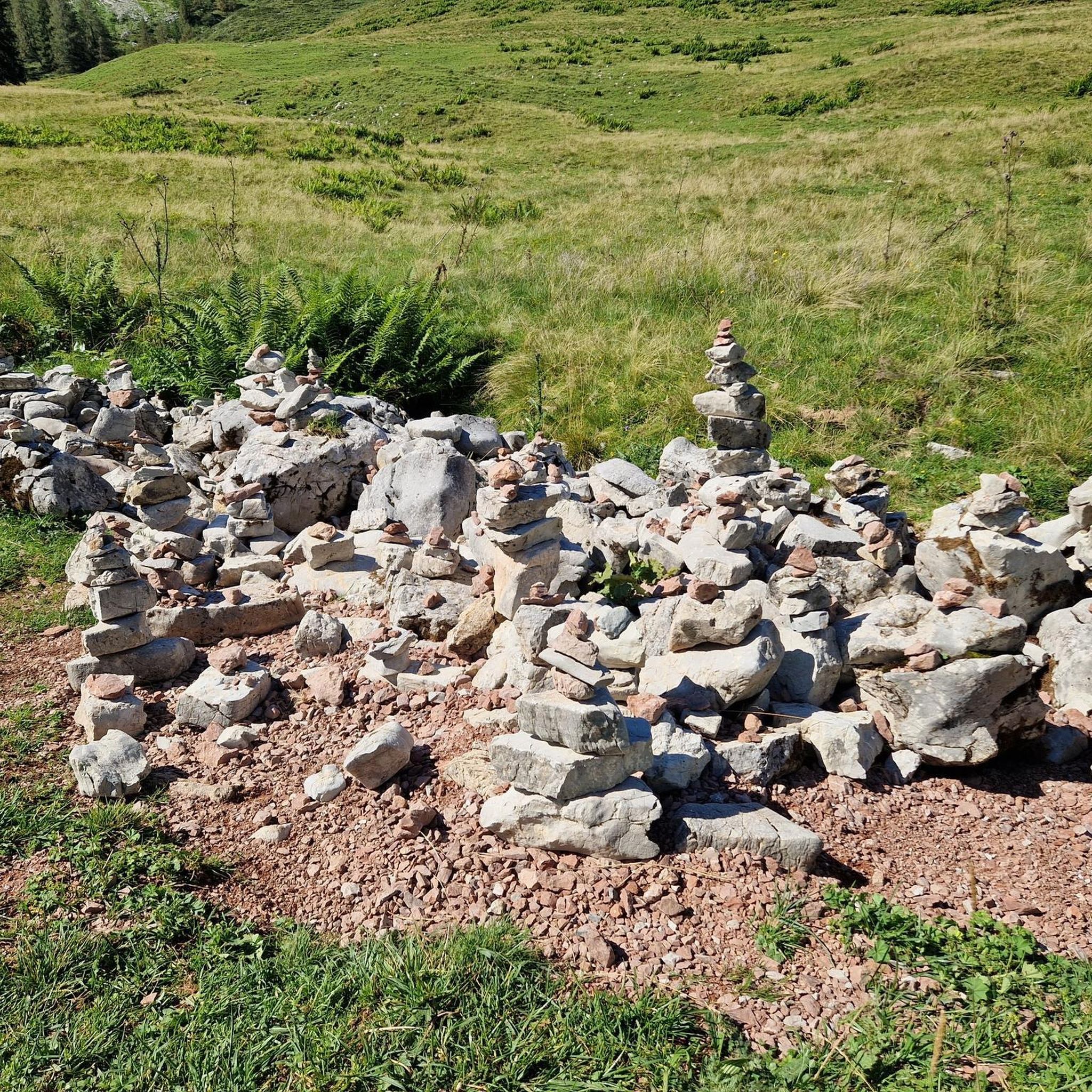
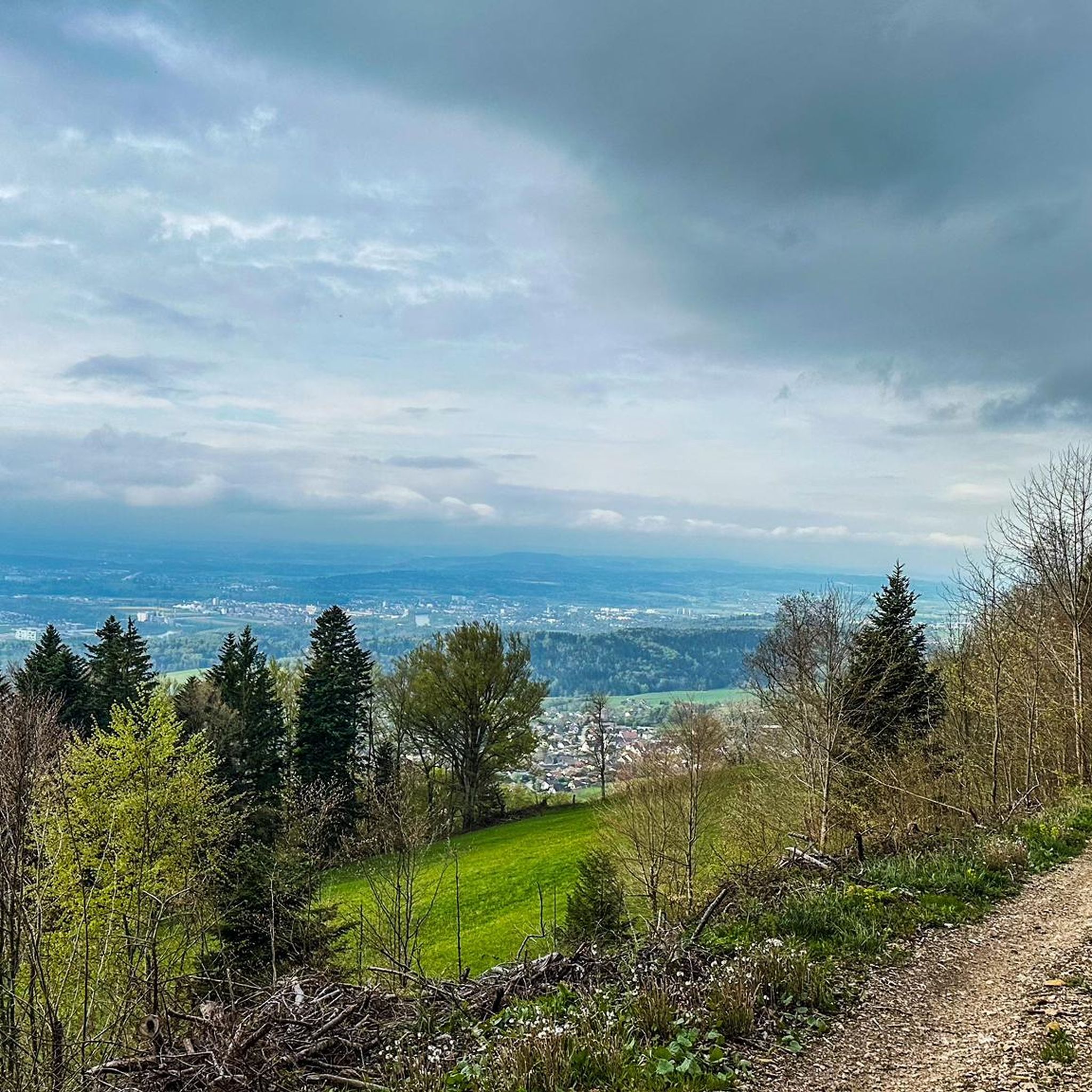
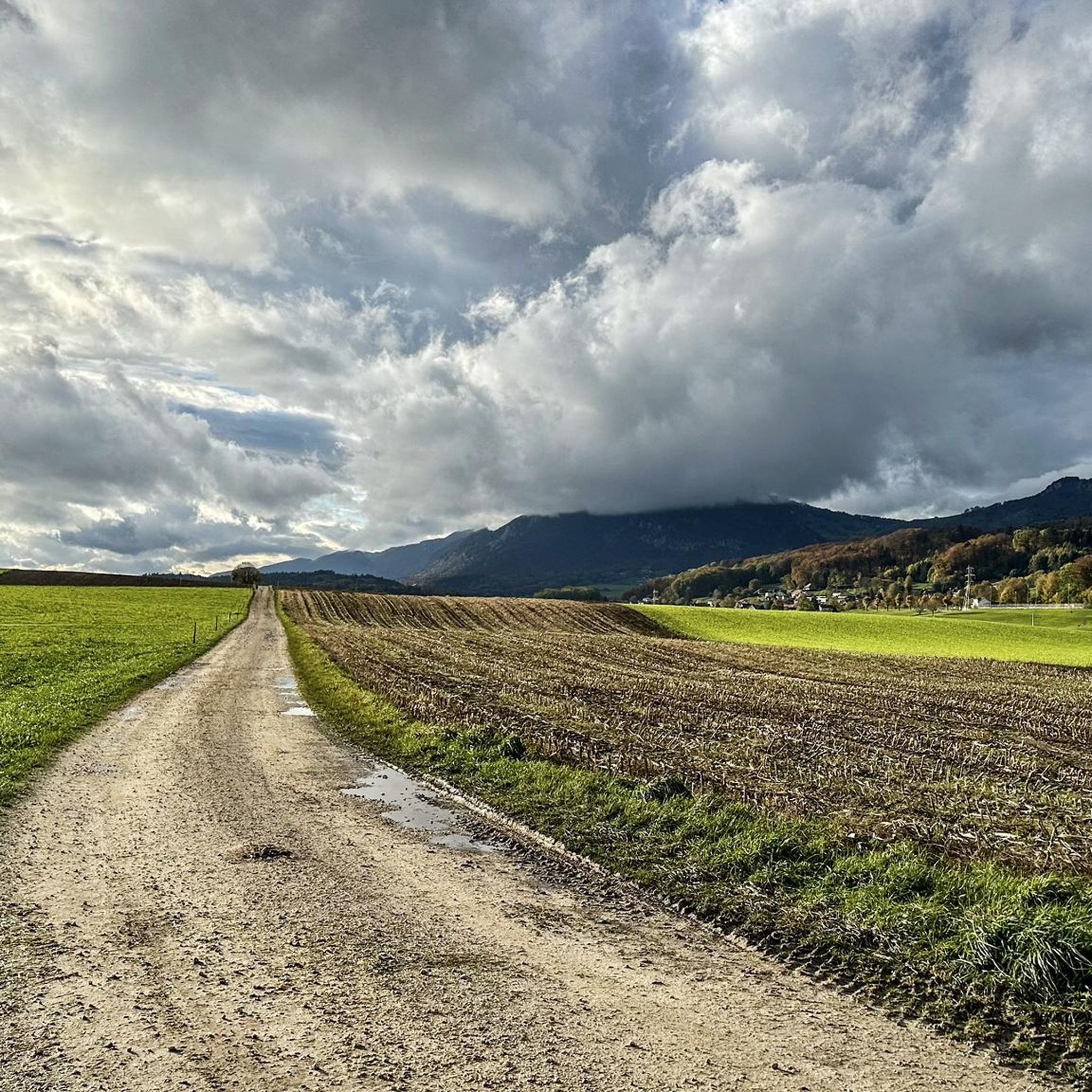
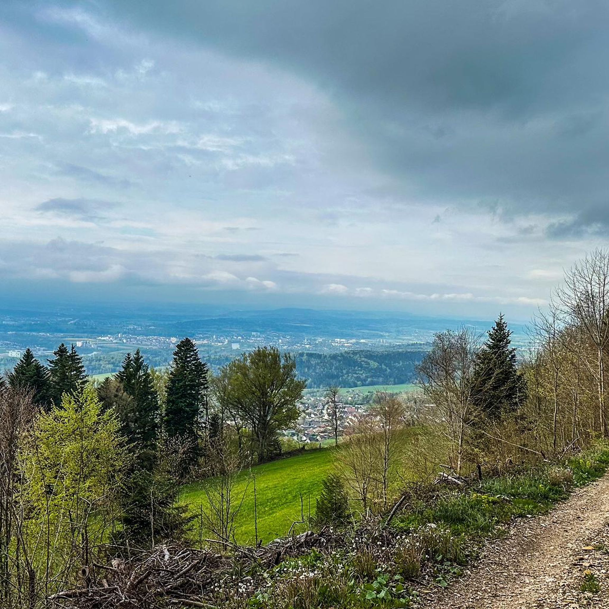

Other adventures around Attiswil

Tips from the Community

Besides the old wooden bridge, the Salt House is probably the most mentioned building in Wangen an der Aare
0
0

This section is beautiful; a good gravel road makes for a leisurely and relaxing ride along the Aare River between Wangen and Solothurn. However, part of the route is closed until the end of 2027 due to the expansion of the A1 motorway. A partially signposted detour is in place.
0
0
Unfortunately, a lot is changing with the lane widening of the A1, as embankments have been cleared and a lane for construction vehicles has been built.
0
0

Beautiful garden restaurants for a cozy coffee break.
0
0

Parking on both sides! Beautiful bike paths in all directions.
0
0


very practical for visiting the Oberli restaurant
0
0

A stopover between Aarwangen and Solothurn on the beautiful Aareuferweg. It can be extended as desired.
0
0
Frequently Asked Questions
How many running routes are available around Attiswil?
There are over 420 running routes around Attiswil, offering a wide variety of options for all fitness levels. These include 18 easy routes, over 330 moderate paths, and 68 more challenging trails.
What kind of terrain can I expect on the jogging trails near Attiswil?
The terrain around Attiswil is quite diverse. You'll find relatively flat paths along the Aare River, forested sections, and routes with moderate elevation gains as you head towards the Jura mountains. This mix provides options from accessible runs to more challenging experiences.
Are there any family-friendly running routes in the Attiswil area?
Yes, the region offers several easy routes suitable for families. The Bench with a view of the Aare loop from Flumenthal is a moderate 3.5-mile (5.7 km) trail along the riverside that is generally pleasant for a family outing. The Weissenstein mountain area, mentioned in regional research, also has many flat paths suitable for strollers.
Can I find circular running routes around Attiswil?
Many of the routes around Attiswil are designed as loops. For example, the popular Running loop from Flumenthal is a moderate 5.8-mile (9.4 km) circular path, and the Running loop from Attiswil offers a 7.9 km loop directly from the town.
What are some notable landmarks or viewpoints I might encounter on a run?
While running near Attiswil, you can enjoy expansive views of the surrounding Swiss landscape, especially along the Aare River. The regional research highlights the Weissenstein mountain, which offers sensational views of the Alps, Vosges, and Black Forest. You might also pass by the Balmberg Pass Summit or the Hofbergli Mountain Restaurant, which are nearby attractions.
Are there any dog-friendly running trails near Attiswil?
Most natural trails in the Attiswil region are dog-friendly, provided your dog is on a leash and you follow local regulations. The diverse landscape, from riverside paths to forested sections, offers plenty of varied terrain for you and your canine companion to explore. Always ensure your dog is well-behaved and that you clean up after them.
What do other runners enjoy most about jogging in Attiswil?
The running routes around Attiswil are highly rated by the komoot community, with an average score of 4.4 stars from over 240 reviews. Runners often praise the diverse landscape, the scenic riverside paths along the Aare, and the variety of routes suitable for different ability levels.
Are there any cafes or places to stop for refreshments along the running routes?
While specific cafes directly on every route aren't detailed, the regional research mentions the charming old town of Solothurn, a short distance from Attiswil, which has various establishments. Additionally, the Canteen 1881 – Attisholz Riverside Park loop from Flumenthal suggests a potential stop at Canteen 1881. You can also find the Hofbergli Mountain Restaurant nearby.
How accessible are the running trails by public transport or car parking?
Many routes, particularly those starting from Flumenthal or Attiswil itself, are generally accessible. For routes like the View of the Aare – Vogelroupfi Nature Reserve loop from Flumenthal, starting points are often near villages with public transport connections or available parking. It's advisable to check the specific route details on komoot for precise parking and public transport information for your chosen trail.
What is a good option for a longer, more challenging run?
For a longer and more challenging run, consider the View of the Aare – Vogelroupfi Nature Reserve loop from Flumenthal. This route spans 18.4 miles (29.6 km) and is classified as difficult, offering expansive views and natural scenery over approximately 3 hours and 13 minutes.
Are there any easy running routes for beginners in Attiswil?
Yes, Attiswil offers several easy routes perfect for beginners. While specific easy routes are not detailed in the top list, the guide data indicates there are 18 easy tours available. These typically feature minimal elevation changes and shorter distances, making them ideal for those new to running or looking for a relaxed pace.
What are the best seasons for running in Attiswil?
Attiswil's diverse landscape makes it suitable for running in various seasons. Spring and autumn offer pleasant temperatures and beautiful scenery, with changing foliage or blooming flowers. Summer is also great, especially for riverside paths or higher elevations like Weissenstein. Winter running is possible, but conditions may vary, with some paths potentially being icy or snowy, especially at higher altitudes.
Most popular routes around Attiswil
Most popular attractions around Attiswil

Get inspired with the komoot mobile app


Explore more
Browse the best Running Trails & Routes in other regions.
