The best mountain hikes around Eggiwil
4.4
(11)
44
hikers
6
hikes
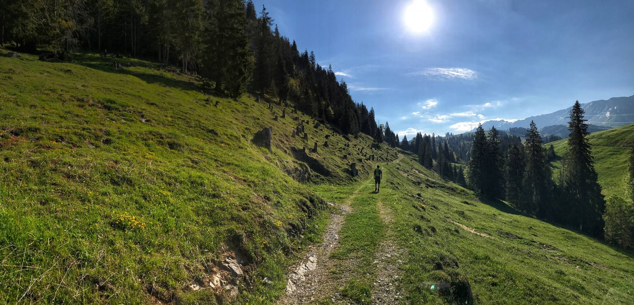
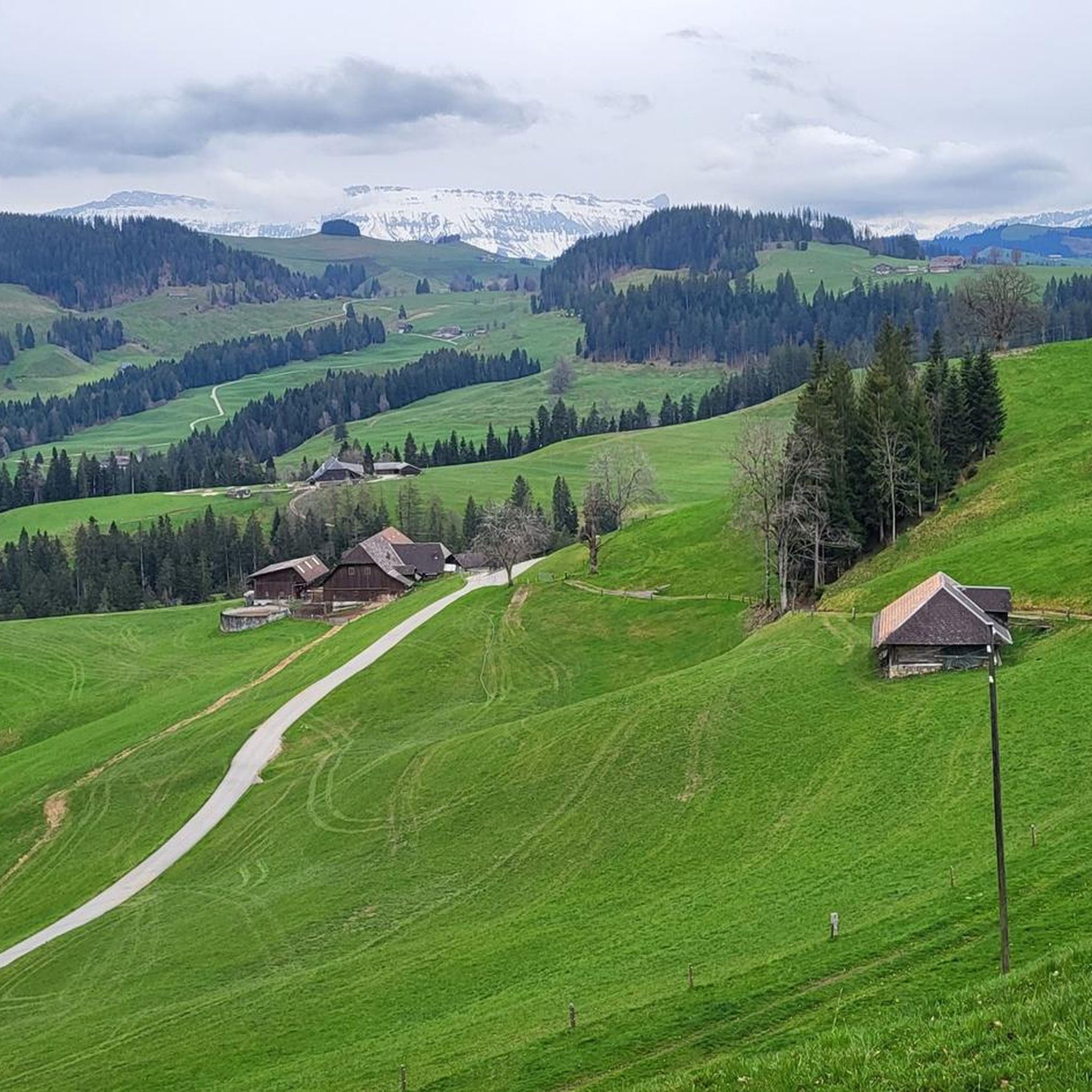
Mountaineering routes around Eggiwil are set within a pre-alpine hilly landscape in the upper Emmental region of Bern, Switzerland. This area is characterized by varied topography, with elevations ranging from approximately 690 to 1414 meters above sea level, shaped by the Emme and Röthenbach rivers. The region offers an extensive network of challenging trails, providing opportunities for invigorating outdoor pursuits amidst rolling hills and scenic vistas. While not involving technical glacier travel, the routes demand good physical condition and alpine…
Last updated: November 6, 2026
5.0
(5)
11
hikers
12.7km
05:54
880m
880m
Hard mountaineering route. Very good fitness required. Sure-footedness, sturdy shoes and alpine experience required.
5.0
(2)
6
hikers
9.47km
04:15
660m
660m
Moderate mountaineering route. Good fitness required. Mostly walkable paths. Sure-footedness required.

4.7
(3)
8
hikers
11.4km
05:12
950m
950m
Hard mountaineering route. Very good fitness required. Sure-footedness, sturdy shoes and alpine experience required.
3.0
(1)
3
hikers
12.2km
05:10
880m
880m
Hard mountaineering route. Very good fitness required. Sure-footedness, sturdy shoes and alpine experience required.
4
hikers
8.13km
03:30
610m
610m
Moderate mountaineering route. Good fitness required. Mostly walkable paths. Sure-footedness required.
Our route recommendations are based on thousands of hikes, rides, and runs completed by other people on komoot.
Start today with a free account
Your next adventure awaits.



Other adventures around Eggiwil

Tips from the Community

Here you'll find very, very nice things for the hiking picnic 😋
0
0
A beautiful hike, especially in October / November.
0
0

pretty here, very pretty
0
0


🌄🏔️ Hike to the Hengst (2,092 m) in the Schrattenfluh - Switzerland's karst paradise: The hike to the Hengst begins in Sörenberg, either at the Salwideli mountain inn or at Alp Schlund. From there, a marked mountain path leads over steep karren fields and bizarre rock formations to the summit of the Hengst. The route is moderately demanding, so surefootedness and a head for heights are required. 🧗♂️ The ascent takes about 4-5 hours for the round trip, and during the hike you can enjoy impressive views of the Bernese Alps and the Mittelland. The unique karst landscapes are particularly fascinating, with their bizarre rocks and karren fields offering ideal photo opportunities. 📸 A magnificent panoramic view awaits you at the summit, and with a bit of luck you might even spot ibexes in the area. 🦅🌸 The best time for this hike is from June to October when the trails are free of snow and dry. Be aware that when wet the limestone rocks become slippery, so good weather is crucial for this tour. 🌞
0
0

The best dried meat in the world, yogi drinks to wake up tired hikers and nice entertainment. Truly a highlight.
0
0
Frequently Asked Questions
What is the typical difficulty of mountaineering routes in Eggiwil?
The mountaineering routes around Eggiwil are generally considered challenging, requiring good physical condition, sure-footedness, and alpine experience. While they don't involve technical climbing with ice axes or crampons, they feature significant elevation gains and varied pre-alpine terrain. Most of the routes listed, such as the Furggegütsch Summit loop from Schwarzbach, are rated as 'difficult'.
How many mountaineering routes are available in Eggiwil?
Eggiwil offers a robust network of trails for mountaineering enthusiasts. There are over 8 challenging mountaineering routes available, with many more hiking trails throughout the region. These routes are highly rated by the komoot community, with an average score of 4.3 stars.
Are there circular mountaineering routes in Eggiwil?
Yes, many of the mountaineering routes in Eggiwil are designed as loops, offering a complete experience without retracing your steps. Examples include the Sichle Pass loop from Säge, which covers 13.5 km, and the Furggegütsch Summit loop from Schwarzbach.
What natural features or viewpoints can I expect to see on these routes?
The routes in Eggiwil traverse a picturesque pre-alpine hilly landscape, offering splendid views of the Bernese Alps, Hohgant, and Schrattenfluh. You might encounter the dramatic Räbloch Gorge, a narrow river gorge on the Emme River. For panoramic vistas, consider visiting the Chuderhüsi Vantage Point with its 42-meter-high observation tower, or ascending Wachthubel for breathtaking pre-Alpine panoramas. The Sichle Pass is also a notable natural monument in the area.
When is the best time of year for mountaineering in Eggiwil?
The best time for mountaineering in Eggiwil is typically from late spring to early autumn. In spring, especially around mid-April, the meadows around Rämisgummenhoger and Alp Rämisgummen are filled with blooming crocuses, offering a beautiful backdrop. Summer provides generally stable conditions, while autumn brings vibrant colors to the landscape. Winter mountaineering is possible but requires specific gear and experience due to snow and ice conditions.
Are there any family-friendly mountaineering options in Eggiwil?
While many routes are classified as challenging and require good fitness, the extensive network of over 80 kilometers of hiking trails in Eggiwil offers options for various fitness levels. For families, it's advisable to look for shorter, less strenuous hikes rather than the 'difficult' mountaineering routes. Always check the specific route details for elevation gain and terrain to ensure it's suitable for all family members.
How can I reach the trailheads using public transport?
Eggiwil is located in the upper Emmental region, and public transport connections are available, though some trailheads might require a combination of train and bus. For specific routes, it's recommended to check local bus schedules to reach starting points like Säge or Escholzmatt. Planning your journey in advance is always a good idea.
Is parking available near the starting points of these routes?
Yes, parking is generally available near common starting points for hiking and mountaineering routes in Eggiwil, such as Säge or Escholzmatt. However, during peak seasons, spaces might be limited. It's always advisable to arrive early or consider public transport options.
What do other mountaineers say about the routes in Eggiwil?
The mountaineering routes in Eggiwil are highly regarded by the komoot community, holding an average rating of 4.3 stars from over 10 reviews. Mountaineers often praise the varied pre-alpine terrain, the challenging ascents, and the expansive scenic views of the Bernese Alps. Many appreciate the well-maintained trails and the immersive outdoor experience.
Are there places to eat or drink near the mountaineering routes?
Eggiwil and its surrounding villages offer various cafes and restaurants where you can refuel after your mountaineering adventure. While specific establishments might not be directly on every trail, you'll find options in the main settlements. It's always a good idea to carry sufficient water and snacks, especially on longer routes.
Can I explore any caves or unique geological formations in the Eggiwil area?
Yes, the Eggiwil region is home to interesting geological features. The spectacular Räbloch Gorge, a narrow river gorge on the Emme River, is a must-see. Additionally, there are several caves in the broader area, such as the Schafloch — West Entrance and the Tropfloch (Seefeldhöhle) Cave, which can be explored as separate highlights.
Are there any less-known but rewarding routes in Eggiwil?
Beyond the most popular trails, Eggiwil's extensive network offers many rewarding routes. While specific 'hidden gems' are often discovered by local exploration, the region's character of rolling hills and varied topography means that even less-frequented paths can offer stunning views and a sense of solitude. Exploring different sections of the 80 km trail network will likely lead to unique discoveries.
Most popular routes around Eggiwil
Most popular attractions around Eggiwil

Get inspired with the komoot mobile app


Explore more
Browse the best Mountain Hikes & Routes in other regions.
