The best walks and hikes around Sauveterre-Saint-Denis
4.5
(152)
1,166
hikers
104
hikes
Hiking around Sauveterre-Saint-Denis offers a variety of routes through a landscape characterized by woodlands, open countryside, and gentle rolling hills. The region features a mix of agricultural areas and natural spaces, with elevation changes typically under 250 meters. Trails often follow paths through forests and along rural roads, providing access to local points of interest.
Best hiking trails around Sauveterre-Saint-Denis
- The most popular hiking route is Forest Path – CASTELCULIER 👍 loop from Agen, a 6.7 miles (10.8 km)…
Last updated: November 8, 2026
4.9
(16)
41
hikers
10.8km
03:03
230m
230m
Moderate hike. Good fitness required. Easily walkable paths.
4.8
(4)
21
hikers
7.51km
02:08
160m
160m
Moderate hike. Good fitness required. Easily walkable paths.

4.7
(3)
13
hikers
6.01km
01:41
110m
110m
Easy hike. Easily walkable paths.
4.0
(2)
9
hikers
14.0km
03:52
240m
240m
Moderate hike. Good fitness required. Easily walkable paths.
7
hikers
5.17km
01:19
10m
10m
Easy hike. Easily walkable paths.
Get access to more routes and recommendations from other explorers.
Already have an account?
Our route recommendations are based on thousands of hikes, rides, and runs completed by other people on komoot.
Start today with a free account
Your next adventure awaits.


Tips from the Community


Moirax is located on top of a hill, a few kilometers south of Agen and the Garonne. A medieval village dominated by the Cluniac Priory from the 11th century. A jewel of Romanesque art, the imposing Notre-Dame church remaining from the Priory is a real architectural marvel. It has been perfectly restored and has been listed as a historical monument since 1846.
3
0
Moirax is a commune in the French department Lot-et-Garonne (Nouvelle-Aquitaine region) and has 1061 inhabitants (2005). The place is part of the arrondissement of Agen.
3
0

Moirax is a commune in the south-west of France, located in the department of Lot-et-Garonne.
0
0

This church was a milestone on the way to Santiago de Compostela and a stopover for pilgrims. The land on which it stands was donated by the Viscount of Bruilhois in 1049. Believing that he had failed during his life as a warrior, he wanted to try to save his soul by donating of this land.
3
0


The small village of Moirax is home to the Notre-Dame de Moirax church. It dates back to the 10th century.
1
0
Frequently Asked Questions
How many hiking trails are available around Sauveterre-Saint-Denis?
There are over 120 hiking routes in the Sauveterre-Saint-Denis area. This includes a good mix of options, with 64 easy trails, 61 moderate trails, and a few more challenging routes for experienced hikers.
Are there any easy or beginner-friendly hikes in Sauveterre-Saint-Denis?
Yes, the region offers numerous easy trails suitable for beginners. One accessible option is the Boé Watersports Centre loop from Castelculier. This route is relatively flat, covering 4.5 km with minimal elevation gain, making it ideal for a relaxed walk.
What kind of scenery can I expect on hikes around Sauveterre-Saint-Denis?
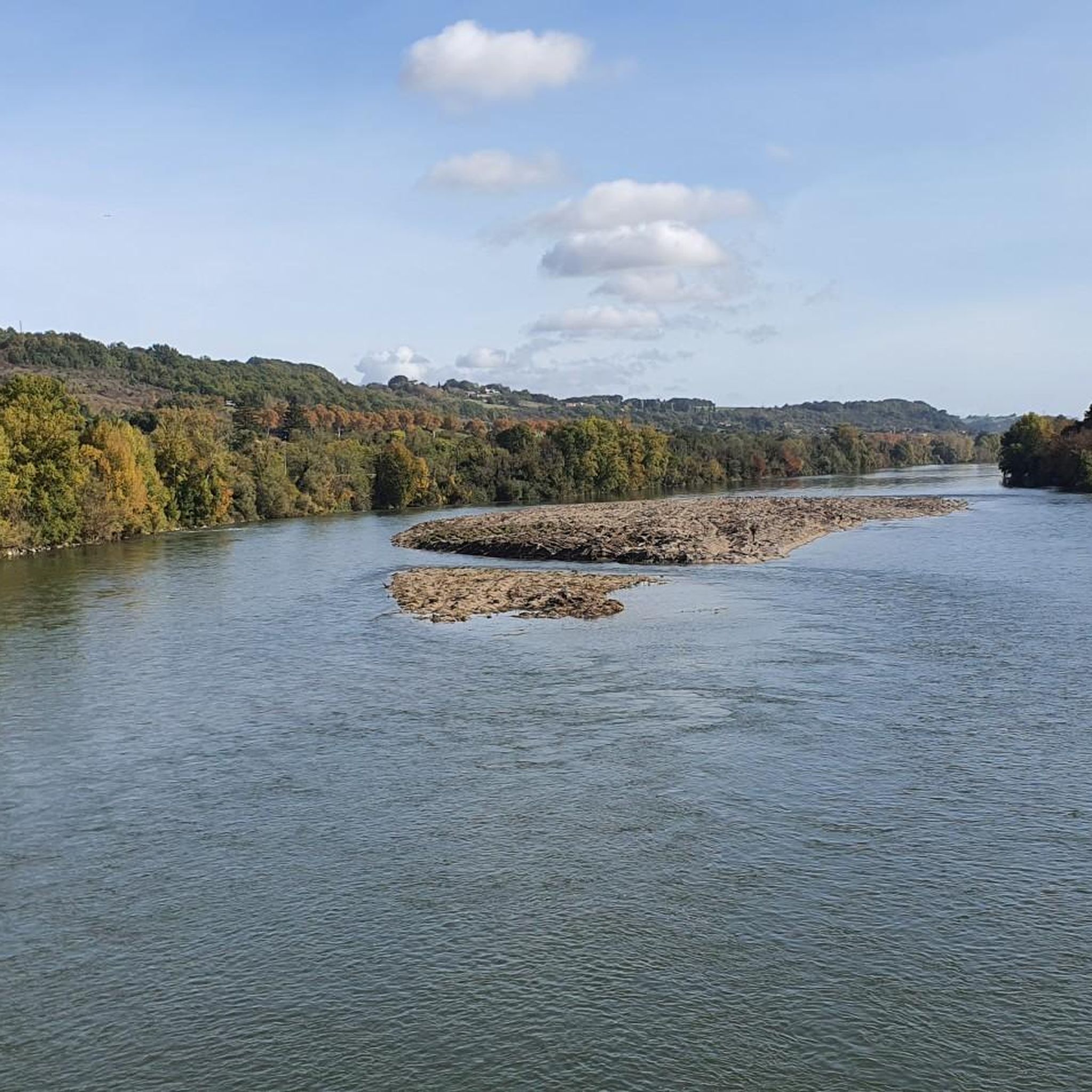
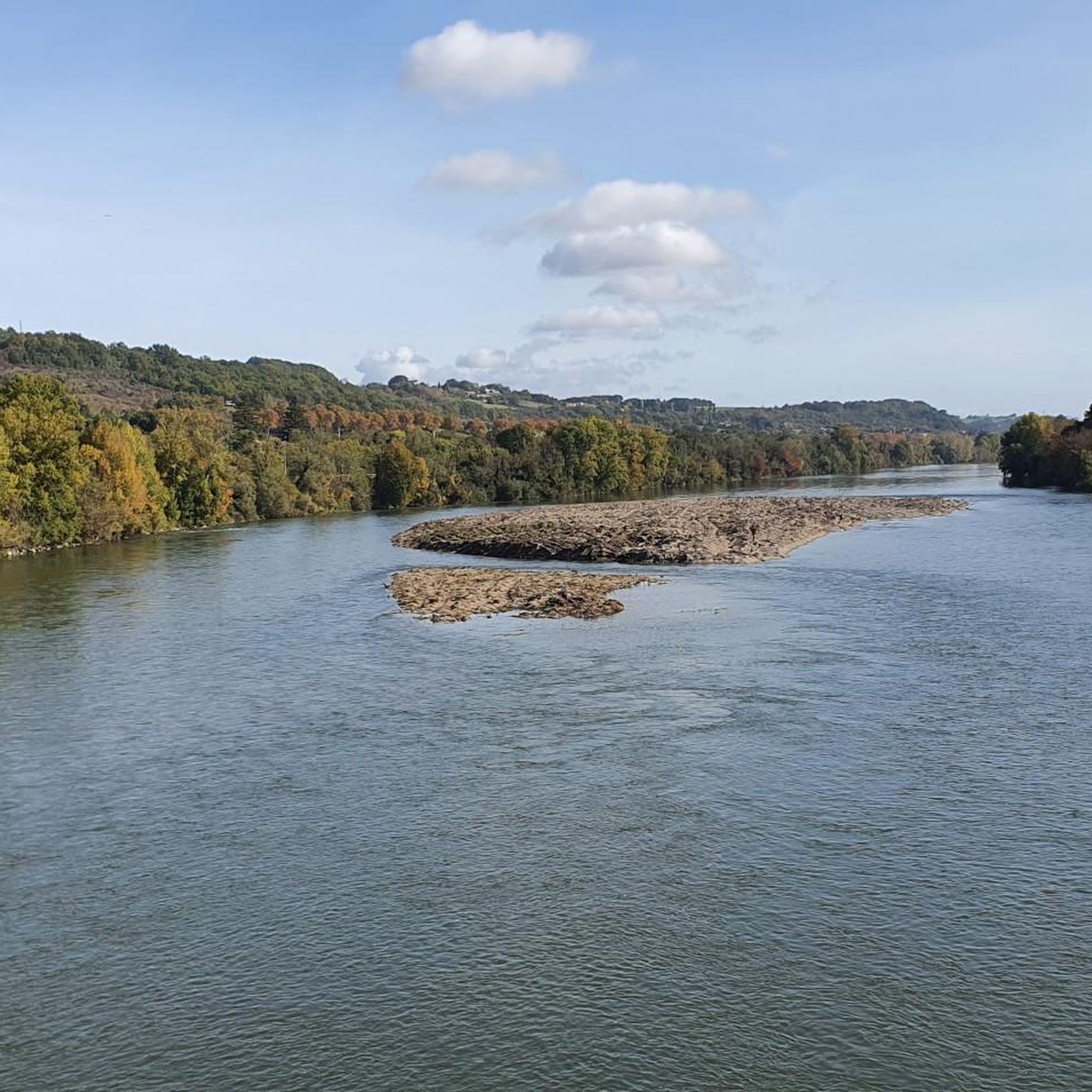
The landscape around Sauveterre-Saint-Denis is characterized by a pleasant mix of woodlands, open countryside, and gentle rolling hills. You'll often find trails winding through agricultural areas and natural spaces, with elevation changes typically under 250 meters, offering serene views of the rural French landscape.
Are there any circular hiking routes available?
Yes, many routes in the area are circular, allowing you to start and end at the same point. A popular circular option is the Château de la Sévelotte loop from Lafox, which is a moderate 10.8 km trail offering varied scenery.
What are some interesting landmarks or attractions to see along the trails?
While hiking, you can explore several local points of interest. Consider visiting the historic Notre-Dame Church of Moirax, or marvel at engineering feats like the Agen Aqueduct and the Agen Canal Bridge. The Agen river port also offers a scenic spot.
What do other hikers enjoy most about the trails in Sauveterre-Saint-Denis?
The trails in Sauveterre-Saint-Denis are highly rated by the komoot community, with an average score of 4.5 stars from over 120 reviews. Hikers often praise the quiet woodlands, the well-maintained rural paths, and the gentle elevation changes that make for enjoyable and accessible walks.
Is it possible to find places to eat or have a coffee near the hiking trails?
Yes, you can find options for refreshments. For example, the Poule à Vélo Inn is a highlight in the area, offering a place to stop and refuel. Many routes pass through or near villages where local cafes and restaurants might be available.
What is the best season for hiking in Sauveterre-Saint-Denis?
The region is generally pleasant for hiking from spring through autumn. Spring brings blooming wildflowers and mild temperatures, while autumn offers beautiful foliage. Summer can be warm, so early morning or late afternoon hikes are recommended. Winter hiking is possible, but trails might be muddy, and some facilities could have reduced hours.
Are there any less crowded hiking options for a more peaceful experience?
While the area is popular, many trails offer a sense of tranquility due to the expansive countryside. To find less crowded options, consider exploring some of the lesser-known easy or moderate routes that venture deeper into the woodlands and agricultural areas away from the main villages. Komoot's route planner can help you discover these hidden gems.
How can I get to the hiking trails using public transport?
Public transport options in rural areas like Sauveterre-Saint-Denis can be limited. While some larger towns nearby might have bus services, reaching specific trailheads often requires a car. It's advisable to check local bus schedules for routes connecting to the nearest towns or consider carpooling if possible.
Where can I find parking for hiking trails in Sauveterre-Saint-Denis?
Most trailheads in and around Sauveterre-Saint-Denis, especially those starting from villages or popular points of interest, typically have designated parking areas. For routes that begin in smaller hamlets or rural roads, you might find roadside parking. Always ensure you park responsibly and do not obstruct local access.
Are there any family-friendly hiking routes suitable for children?
Yes, with 64 easy trails, there are plenty of family-friendly options. Routes with minimal elevation gain and shorter distances are ideal. The Boé Watersports Centre loop from Castelculier is a good example, offering a flat and manageable walk for families with younger children.
Can I bring my dog on the hiking trails in Sauveterre-Saint-Denis?
Generally, dogs are welcome on most public hiking trails in the region, provided they are kept under control, preferably on a leash, especially when passing through agricultural land or near livestock. Always remember to clean up after your pet to maintain the cleanliness of the trails for everyone.
Most popular routes around Sauveterre-Saint-Denis
Most popular attractions around Sauveterre-Saint-Denis

Get inspired with the komoot mobile app


Explore more
Browse the best Hikes in other regions.
