The best road cycling routes around Sainte-Engrâce
4.4
(59)
3,194
riders
64
rides
Road cycling around Sainte-Engrâce is characterized by the dramatic mountain landscapes of the Pyrenees, offering a diverse terrain of challenging passes and scenic valleys. The region features winding roads through preserved natural spaces, including peaks, ridges, forests, and verdant pastures. This area provides significant climbs and descents, making it suitable for road cyclists seeking endurance.
Best road cycling routes around Sainte-Engrâce
- The most popular road cycling route is Loop 15: Port de Larrau and La Pierre Saint-Martin – Basque Country…
Last updated: May 23, 2026
4.8
(6)
716
riders
103km
06:35
3,040m
3,040m
Hard road ride. Very good fitness required. Mostly well-paved surfaces and easy to ride.
4.7
(9)
225
riders
60.2km
03:21
1,300m
1,300m
Hard road ride. Very good fitness required. Mostly well-paved surfaces and easy to ride.

Sign up for free
5.0
(3)
157
riders
46.9km
02:59
1,370m
1,370m
Hard road ride. Very good fitness required. Mostly well-paved surfaces and easy to ride.
5.0
(2)
87
riders
162km
10:25
4,830m
4,830m
Hard road ride. Very good fitness required. Some segments of this route may be unpaved and difficult to ride.
3.0
(3)
75
riders
56.3km
03:34
1,620m
1,620m
Hard road ride. Very good fitness required. Mostly well-paved surfaces and easy to ride.
Get access to more routes and recommendations from other explorers.
Sign up for free
Already have an account?
Our route recommendations are based on thousands of hikes, rides, and runs completed by other people on komoot.
Start today with a free account
Your next adventure awaits.
Login or Signup
Popular around Sainte-Engrâce
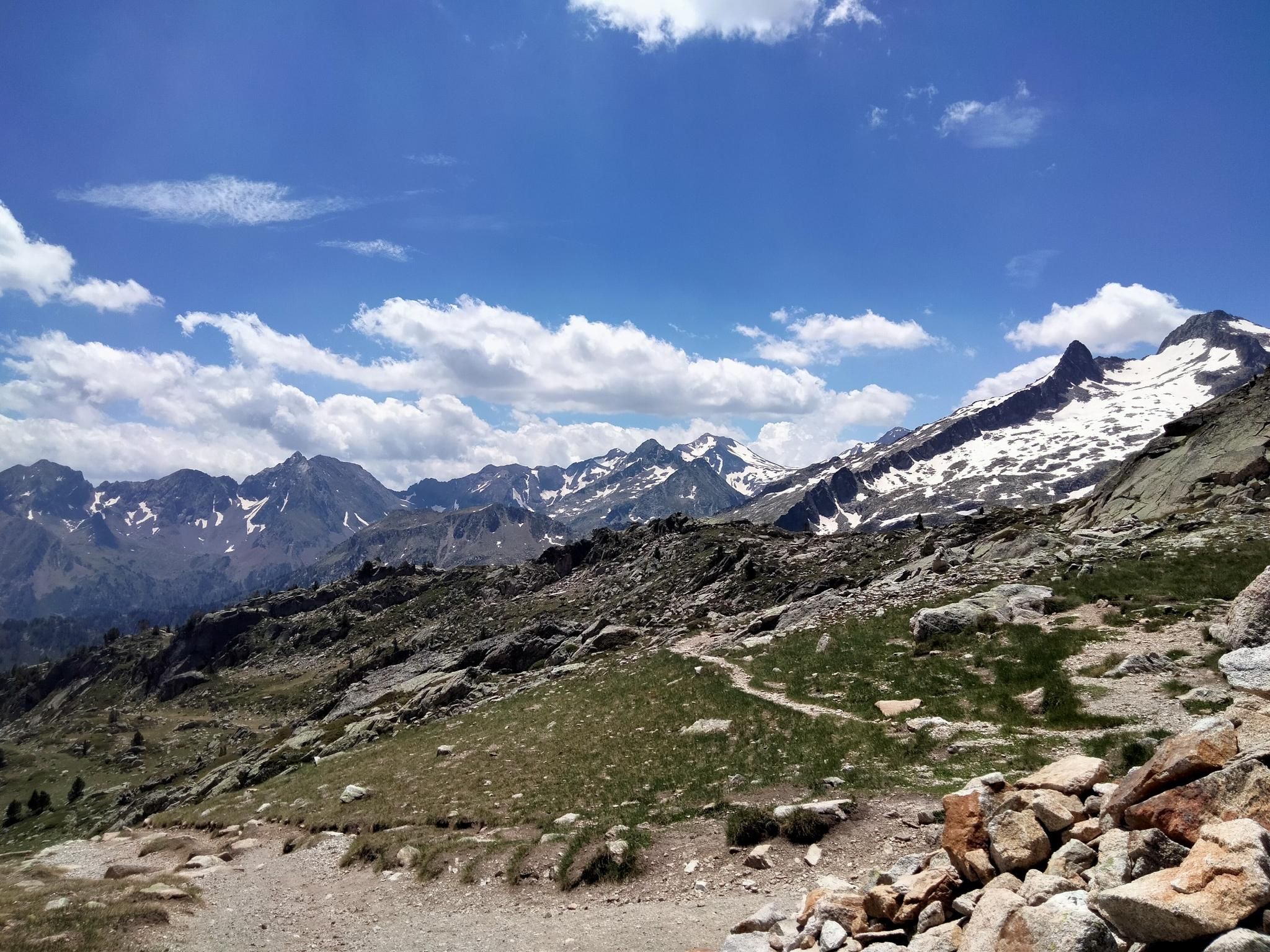
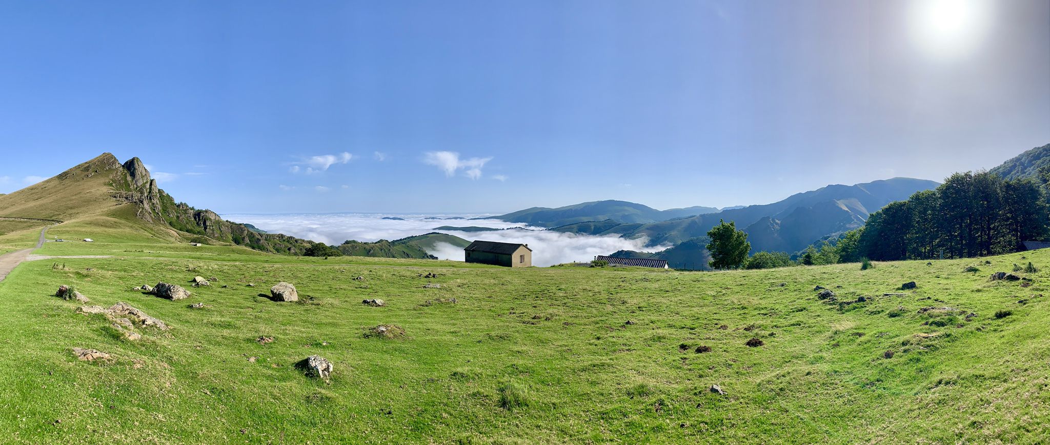
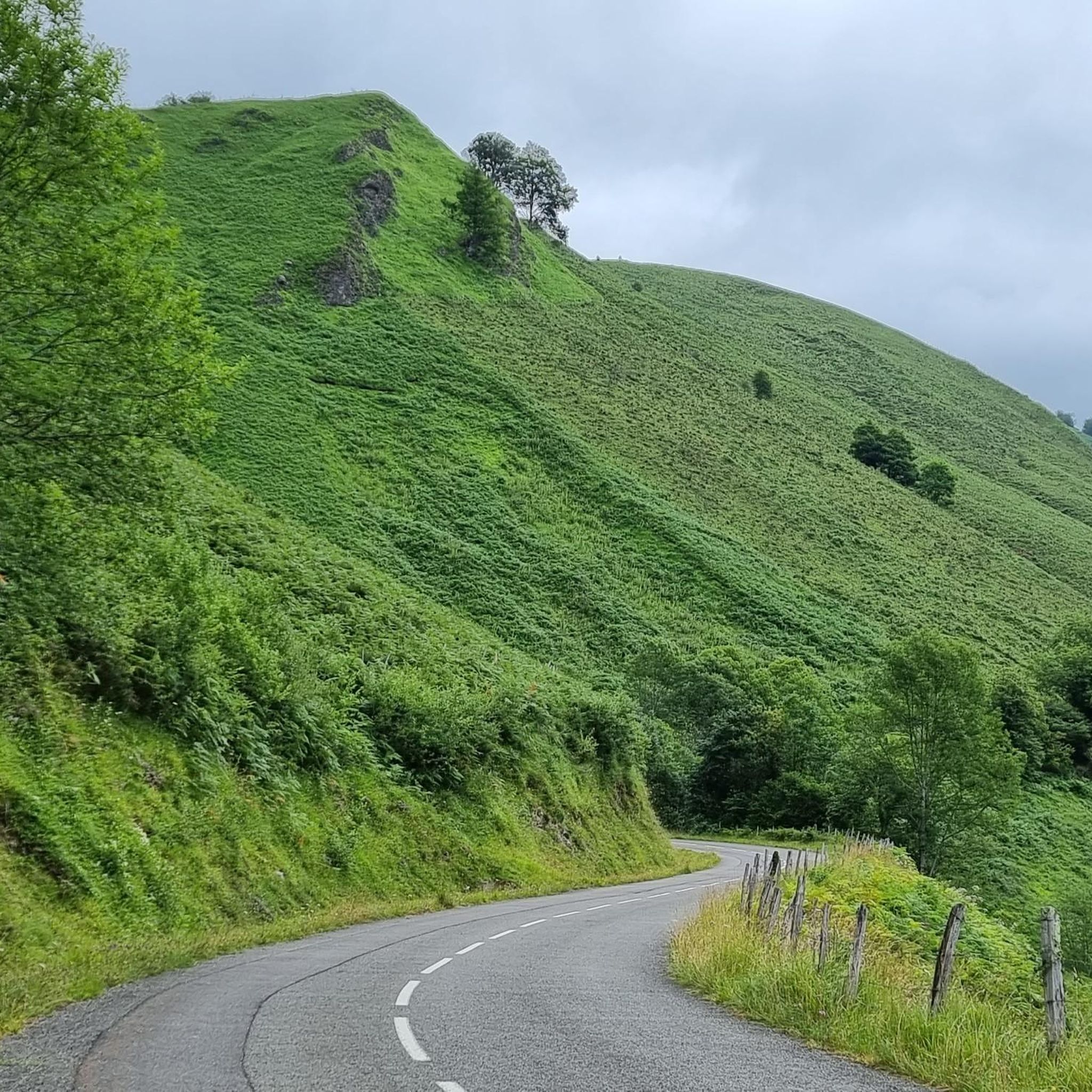
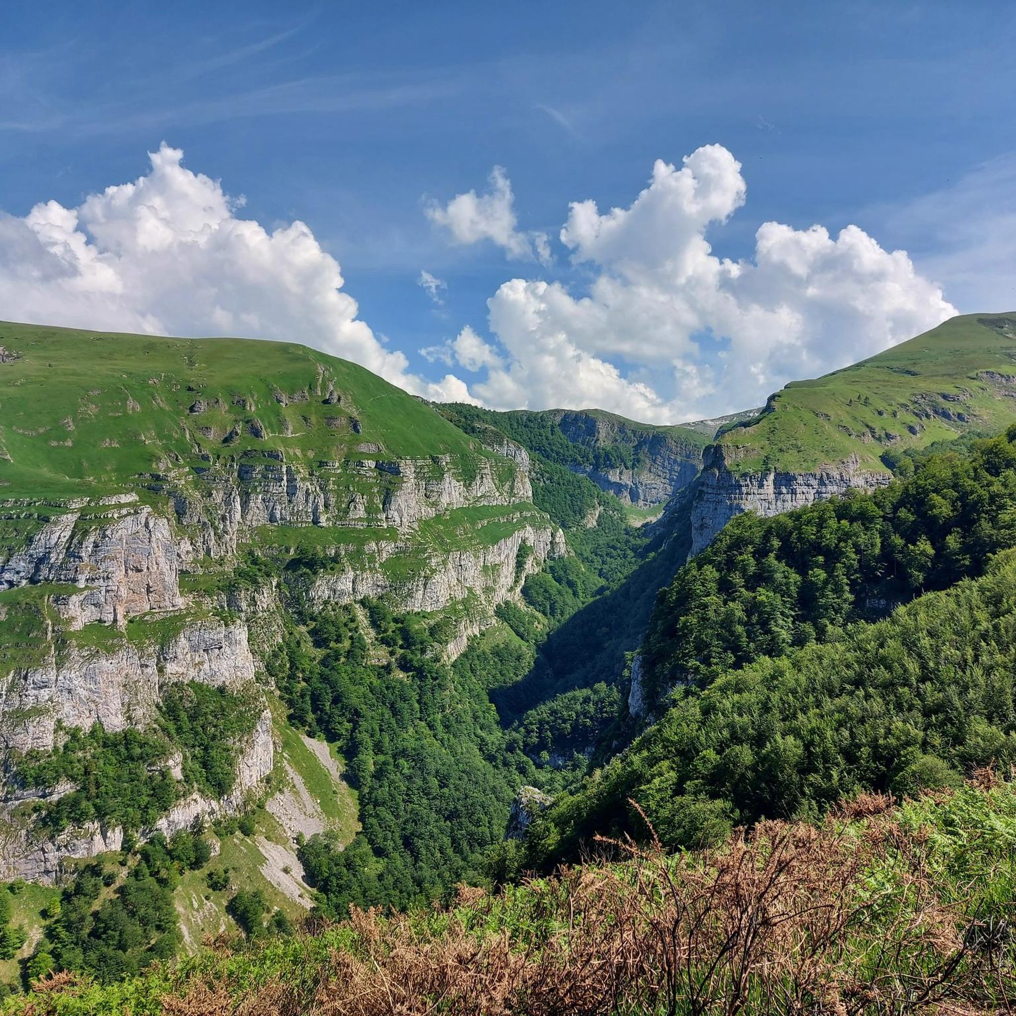


Tips from the Community

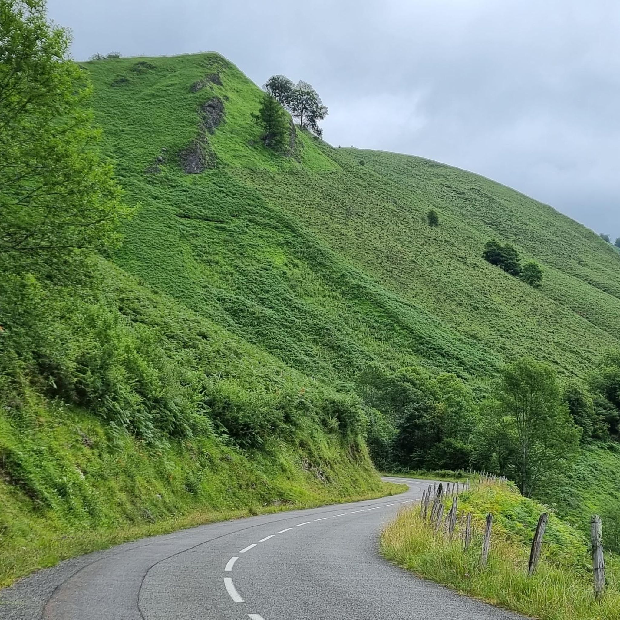
Up to kilometer 12, the climb is gentle. From there, it becomes more difficult, and you'll face some slopes with a 10% gradient. The total climb is 26 kilometers, and the total ascent is 1,048 meters. During the climb, you'll find good road surfaces and beautiful scenery.
0
0

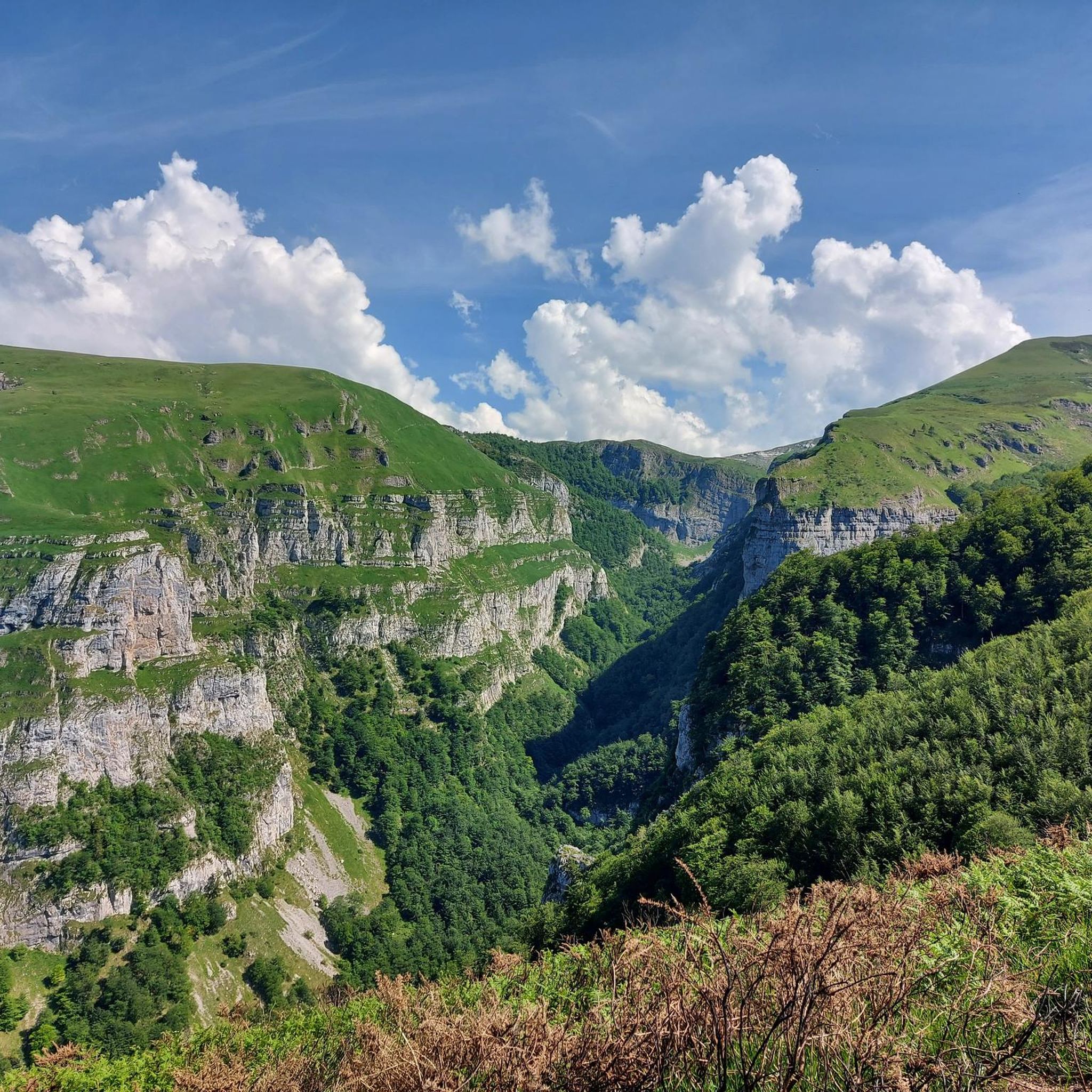
An amazing place with magnificent views and birds of prey soaring just above your head. A spectacular sensation!
0
0

Without a doubt, the Col de la Piedra de Saint Martin or Pierre Saint-Martin is one of the Top 10 in the whole of the Pyrenees. Without exceeding 2000 metres of altitude, it is a very long pass, with a lot of accumulated gradient (due to the innumerable French slopes, the gradient is 1,450 metres), with very hard slopes and several kilometres above 10%, with wonderful landscapes and panoramic views and with little traffic, except for the slopes crossed by the main road (D132 in France, the NA 137 in Spain). It is a pass with many slopes; in Europe there are few other passes that have as many slopes as this one (col de Turini, Passo delle Erbe, would be comparable in number of slopes approximately). I have only climbed it by 2 slopes: (i) my first time was from Lourdios Ichère, crossing the col de Labays and the col de Soudet. Simply spectacular; (ii) I have subsequently climbed the Spanish side on several occasions, which is unique, and which starts from Belagua and crosses the Belagua cross-country ski resort to reach the mountain pass. It is also very beautiful, with a landscape and views different from the north-east side. If I had to choose one of the two, I liked the north-west side better because it is more remote, harder and in my opinion more authentic. It is also a culturally special mountain pass because the Tribute of the 3 cows takes place on its summit every 13th of July, which is considered the oldest treaty in force in Europe. So... you know... you cannot miss the opportunity to come here and enjoy this wonderful jewel of the Pyrenees!!!!
1
0

Isaba, also known as Izaba in Basque, is a picturesque village located in the Roncal Valley in the Navarrese Pyrenees, northern Spain. This charming village is known for its rich history dating back to the Middle Ages, when it was a strategic outpost for the Kingdom of Navarre. Isaba offers breathtaking scenery with lush green meadows in spring, colorful autumn leaves and snow-capped mountains in winter.
1
0

I would not recommend right now. They recently did a chip and seal so a LOT of loose gravel. I live in the area and even the road to Osse en Aspe.
1
0
Going up to the Puerto de la Piedra de San Martín through the Roncal - Belagua valley, after the first 5 km of hard climb with a section of continuous hairpin bends, you reach the abandoned Guardia Civil barracks. This place is ideal for the views it offers: on the one hand, you can see the Roncal valley from above in a panoramic view (simply spectacular); on the other hand, looking up towards the valley, you can see (if the weather permits) the peaks around the beautiful ski resort of Larra - Belagua, which should not be confused with the Piedra de San Martín ski resort, located in France.
0
0
At the bottom of the Roncal valley, right where the climb to Puerto de la Piedra de San Martín begins, you will find this beautiful bend in the mountain called Belagua. It is an idyllic place that you can best enjoy if you climb up following the road to Venta de Juan Pito.
0
0
The Puerto de Laza is a small and beautiful hill that joins the valleys of Roncal (starting from Isaba) and Salazar (starting from Ochagavía) in the Navarrese Pyrenees. Both sides are very similar: a very easy start on a winding road, in perfect condition but without a hard shoulder, passing through small towns and going up the course of the respective rivers Anduña (Salazar valley) and Urbi (Roncal valley); a final stretch of 2 - 3 kms that is harder without being too much so, although there are some slopes above 10%. The Salazar valley side becomes harder when leaving behind the detour to the Larrau port. From here to the port there are 3 km with an average gradient of 7%. On the other hand, the Roncal valley side becomes harder when overcoming a bridge over the river that has been with us since we left Isaba behind. From here it is barely 2 km with an average gradient of 7%. From a landscape perspective, it is a port that I love because you can enjoy the exuberance of the vegetation of the Pyrenees, crossing narrow valleys and only with panoramic views when you reach the top, where there is a viewing point that is worth looking out at. A port that I always recommend for enjoying cycle tourism. I leave you the profile of both sides produced by the website www.cyclingcols.com --> http://www.cyclingcols.com/col/Laza
0
1
Frequently Asked Questions
How many road cycling routes are available around Sainte-Engrâce?
There are over 60 road cycling routes available around Sainte-Engrâce. These routes offer a diverse range of experiences, from challenging mountain passes to scenic valley rides.
What are the general difficulty levels of road cycling routes in Sainte-Engrâce?
The majority of road cycling routes in Sainte-Engrâce are considered difficult, with 40 routes falling into this category. There are also 19 moderate routes and 4 easier options, providing choices for various fitness levels.
What is the best time of year for road cycling in Sainte-Engrâce?
The best time for road cycling in Sainte-Engrâce, particularly for tackling the high mountain passes of the Pyrenees, is generally during the warmer months, from late spring through early autumn. This period offers more stable weather and clear roads.
What do other cyclists enjoy most about road cycling in Sainte-Engrâce?
The area is highly rated by the komoot community, with an average score of 4.5 stars from nearly 60 reviews. Cyclists often praise the dramatic mountain landscapes, the challenge of the Pyrenean passes, and the stunning vistas encountered along the routes.
Are there any iconic mountain passes I can cycle around Sainte-Engrâce?
Yes, the region is renowned for its iconic Pyrenean passes. You can tackle climbs like the Col de la Pierre Saint-Martin, featured in routes such as Col de la Pierre Saint-Martin – Pierre Saint-Martin Pass loop from La Pierre Saint-Martin, or the Port de Larrau, part of the challenging Loop 15: Port de Larrau and La Pierre Saint-Martin – Basque Country passes. Other notable passes in the wider region include Marie-Blanque, Aubisque, and Soulor.
What natural attractions can I explore near the road cycling routes?
Beyond the cycling, you can explore spectacular natural sites. The Gorges de Kakuetta, with its towering canyon walls and waterfalls, is a must-see. The Grotte de la Verna, one of the largest underground chambers, is also accessible. You can also find highlights like the Holzarte Footbridge or the Belabarzeko Urjausia - natural swimming pool.
Are there any routes that offer scenic viewpoints or landmarks?
Many routes in Sainte-Engrâce offer breathtaking scenic viewpoints across the Pyrenees. The winding roads through valleys like Aspe and Ossau provide continuous vistas. You might also pass by historical landmarks such as the 11th-century Romanesque church in Sainte-Engrâce village itself. For specific peaks with views, consider routes near Pic d'Orhy or the Table of the Three Kings (Hiru Erregen Mahaia).
Are there options for family-friendly road cycling in Sainte-Engrâce?
While many routes are challenging, there are 4 easier road cycling routes available around Sainte-Engrâce. These routes typically feature less elevation gain and shorter distances, making them more suitable for families or those seeking a more relaxed ride. Always check the route details for specific difficulty and terrain.
Where can I find parking for road cycling routes in Sainte-Engrâce?
Parking is generally available in and around the village of Sainte-Engrâce, as well as at the starting points of some major routes or attractions like La Pierre-Saint-Martin. It's advisable to check local signage for specific parking regulations and availability, especially during peak season.
Are there any waterfalls along the road cycling routes?
While the road cycling routes themselves might not go directly through waterfalls, the region is home to several beautiful cascades. The Gorges de Kakuetta features impressive waterfalls, and you can find the Belabarzeko Urjausia - natural swimming pool and Sanchèse Waterfall as nearby natural monuments that can be explored off-bike or approached via scenic roads.
What kind of accommodation or services are available for cyclists in Sainte-Engrâce?
Sainte-Engrâce and the surrounding villages offer various accommodation options, including guesthouses and auberges, many of which cater to outdoor enthusiasts. You can find cafes and small shops for refreshments. For more comprehensive services, larger towns in the Béarn region would be a short drive away.
Are there any routes that offer a significant challenge for advanced cyclists?
Absolutely. Sainte-Engrâce is a prime destination for advanced cyclists seeking significant challenges. With 40 difficult routes, you'll find options like Col d'Ichère – Gave of Sainte-Engrâce loop from Auberge Logibar, which covers over 160 km with nearly 5000 meters of elevation gain, or Soudet Pass – Pierre Saint-Martin Pass loop from Licq-Athérey, offering substantial climbs and descents.
Most popular routes around Sainte-Engrâce
Most popular attractions around Sainte-Engrâce

Get inspired with the komoot mobile app


Explore more
Browse the best Road cycling routes in other regions.
