The best road cycling routes around Ruynes-En-Margeride
4.4
(47)
1,381
riders
19
rides
Road cycling around Ruynes-En-Margeride features diverse landscapes, including wild highlands, extensive forests, moorlands, and granite formations. The terrain is characterized by significant elevation changes, appealing to cyclists seeking a challenge. Many road cycling routes in Ruynes-En-Margeride transition from the Margeride highlands to the open, hilly grasslands of the Aubrac plateau. This region provides a varied and scenic backdrop for road cycling.
Best road cycling routes around Ruynes-En-Margeride
- The most popular road cycling route is View of the Garabit Viaduct –…
Last updated: July 28, 2026
5.0
(1)
178
riders
76.4km
04:09
1,510m
1,510m
Hard road ride. Very good fitness required. Some segments of this route may be unpaved and difficult to ride.
14
riders
68.5km
03:35
1,160m
1,160m
Hard road ride. Very good fitness required. Some segments of this route may be unpaved and difficult to ride.

Sign up for free
11
riders
56.4km
03:00
990m
990m
Hard road ride. Very good fitness required. Some segments of this route may be unpaved and difficult to ride.
8
riders
Moderate road ride. Good fitness required. Mostly well-paved surfaces and easy to ride.
4.0
(2)
7
riders
44.2km
02:27
780m
780m
Moderate road ride. Good fitness required. Some segments of this route may be unpaved and difficult to ride.
Get access to more routes and recommendations from other explorers.
Sign up for free
Already have an account?
Our route recommendations are based on thousands of hikes, rides, and runs completed by other people on komoot.
Start today with a free account
Your next adventure awaits.
Login or Signup
Popular around Ruynes-En-Margeride

The Grande traversée du Massif Central by gravel bike
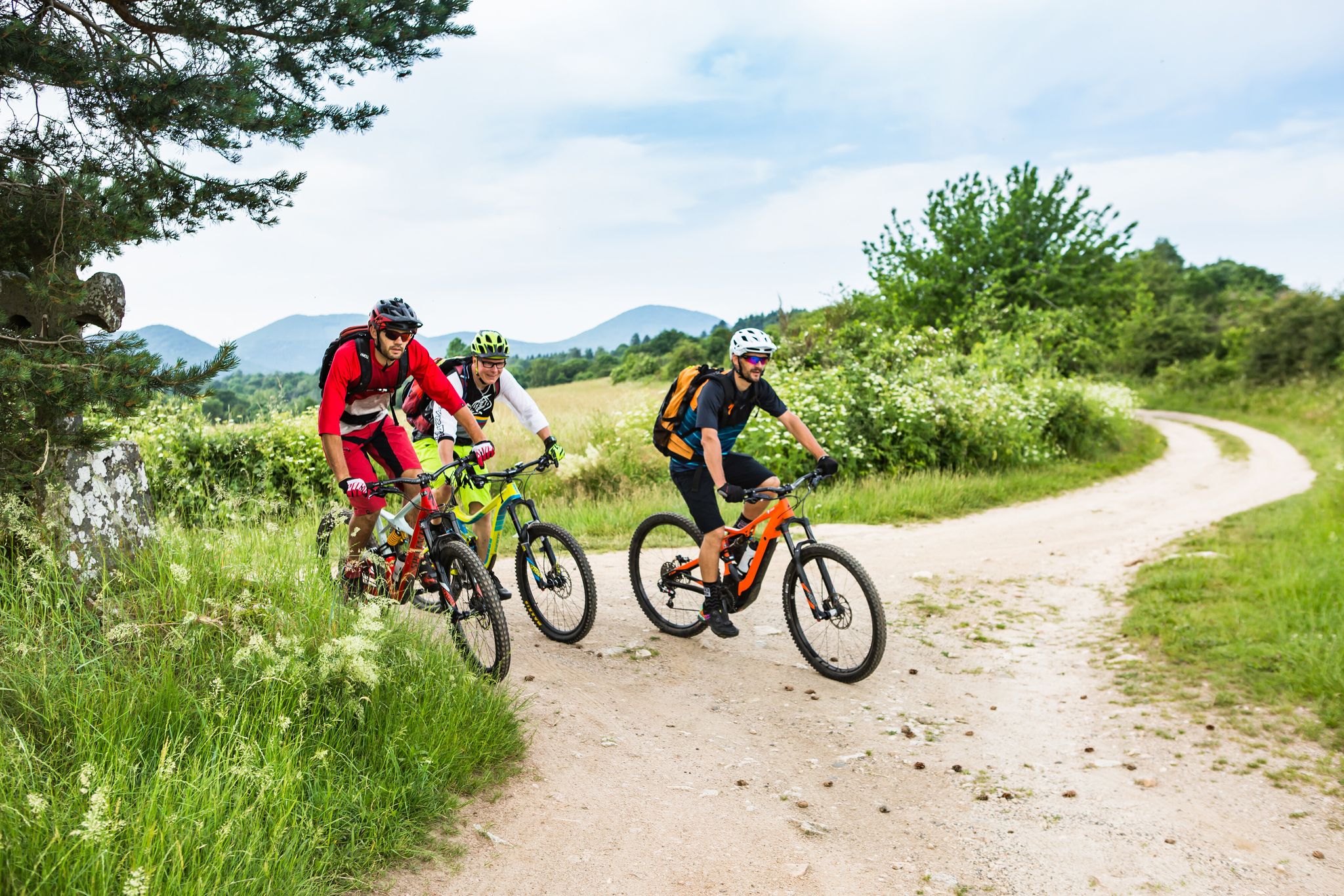
Conquering the trails – Auvergne by MTB
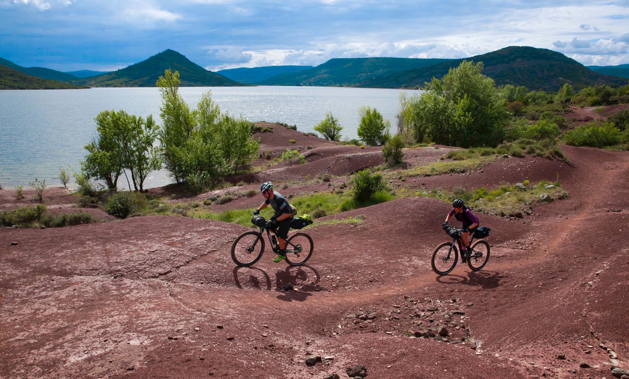
The Great Crossing of France's Massif Central by mountain bike
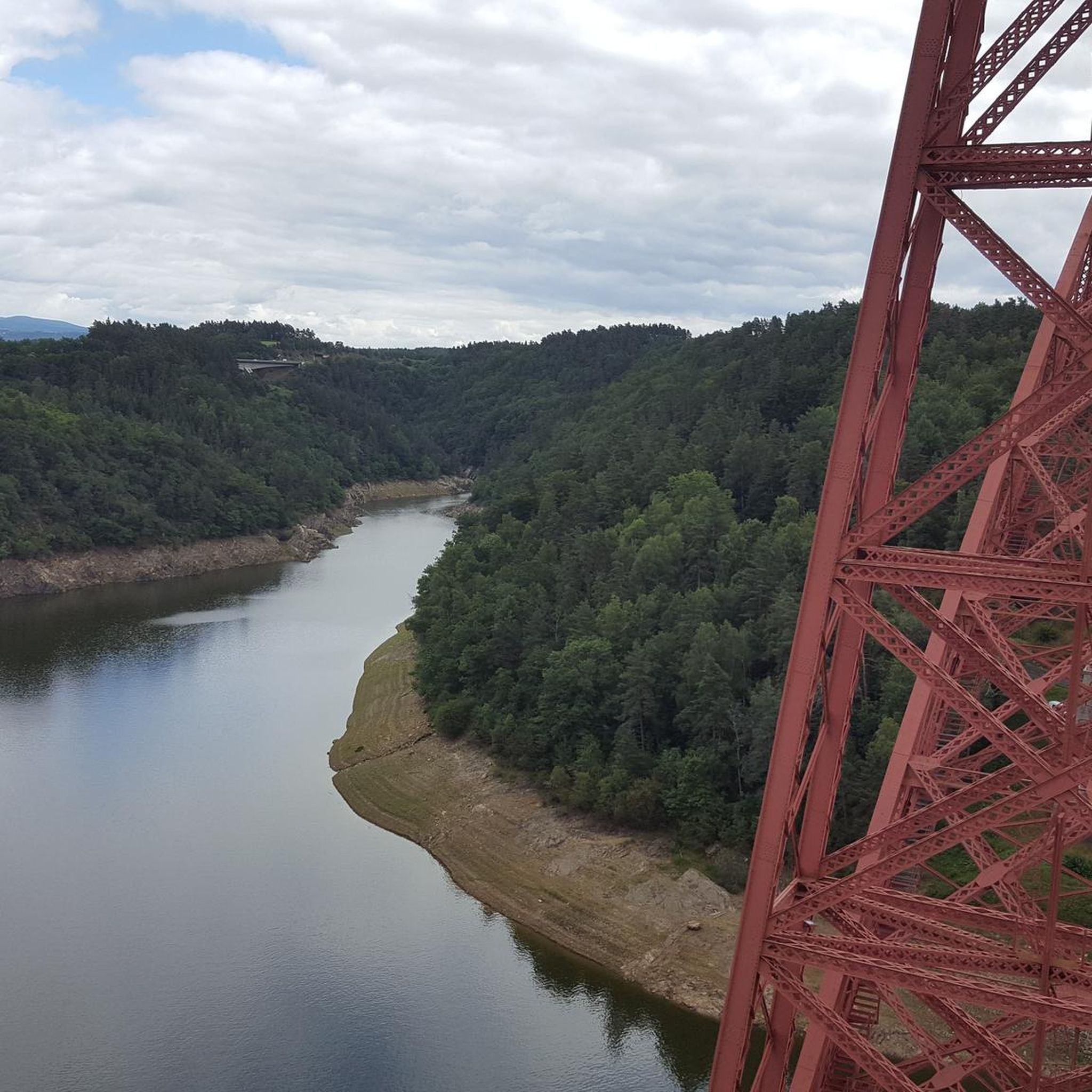
Cycling around Ruynes-En-Margeride
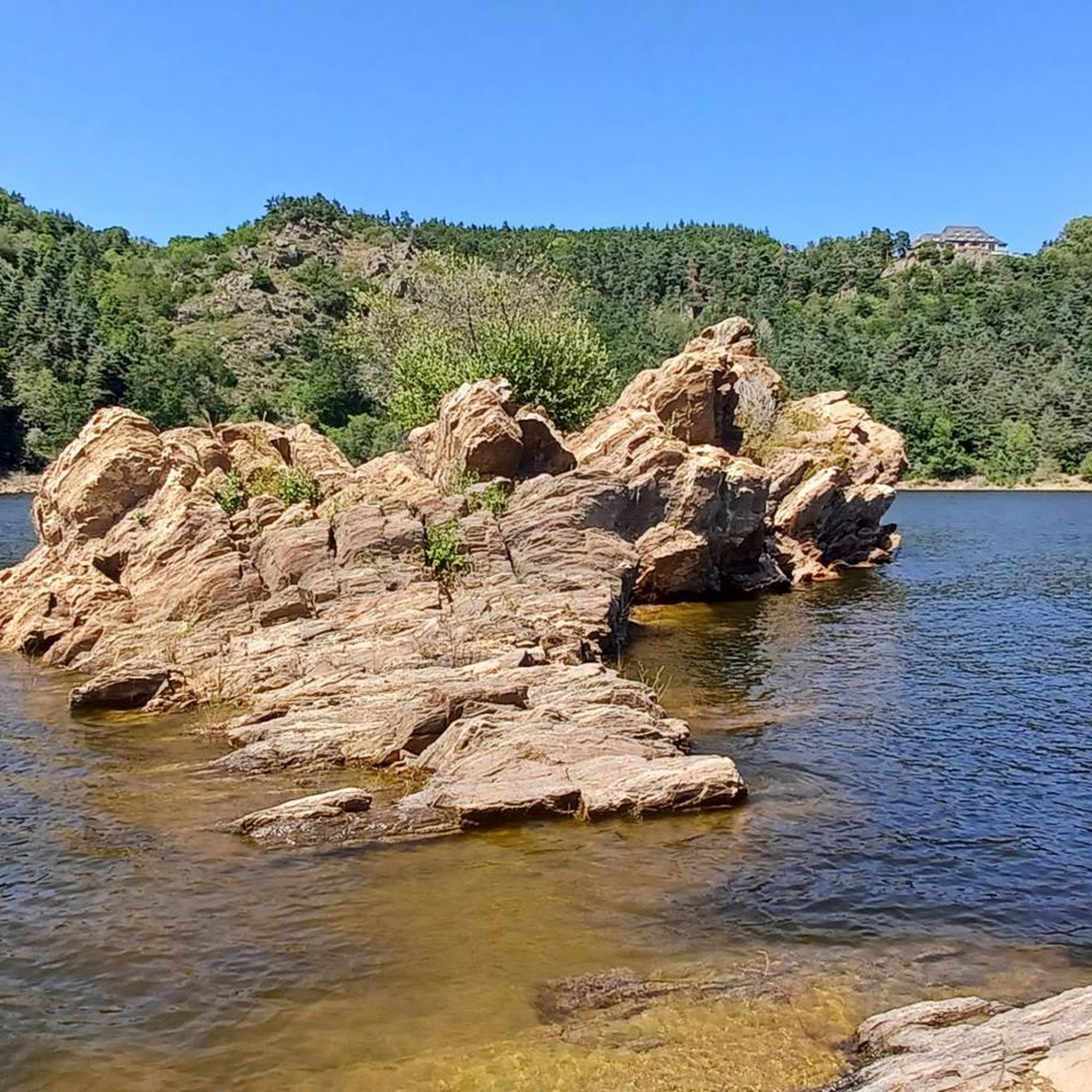
MTB Trails around Ruynes-En-Margeride
Hiking around Ruynes-En-Margeride
Running Trails around Ruynes-En-Margeride

Gravel biking around Ruynes-En-Margeride
Other adventures around Ruynes-En-Margeride


Tips from the Community


The Mont Mouchet Museum and Memorial pay tribute to Lucien and Pierrot, who, in 1944, joined one of France's five maquis. They committed to preventing the German army stationed to the south from advancing toward Normandy. Through a tour of authentic objects, documents, photos, and videos, you will discover the historical events that brought Mont Mouchet to life.
0
0

Le Malzieu-Ville is a medieval gem in the Lozère department. The fortified old town, with its towers, gates, and narrow streets, invites exploration. Situated on the banks of the Truyère River, it is a stop on the Way of St. James. The surrounding forests and plateaus offer wonderful hiking and nature experiences.
0
0


It's nice to see beautiful Aubrac cows on the side of the road.
2
0
It feels like Scotland, the nature is very green and the ruins of the castle make it a remarkable place.
1
0

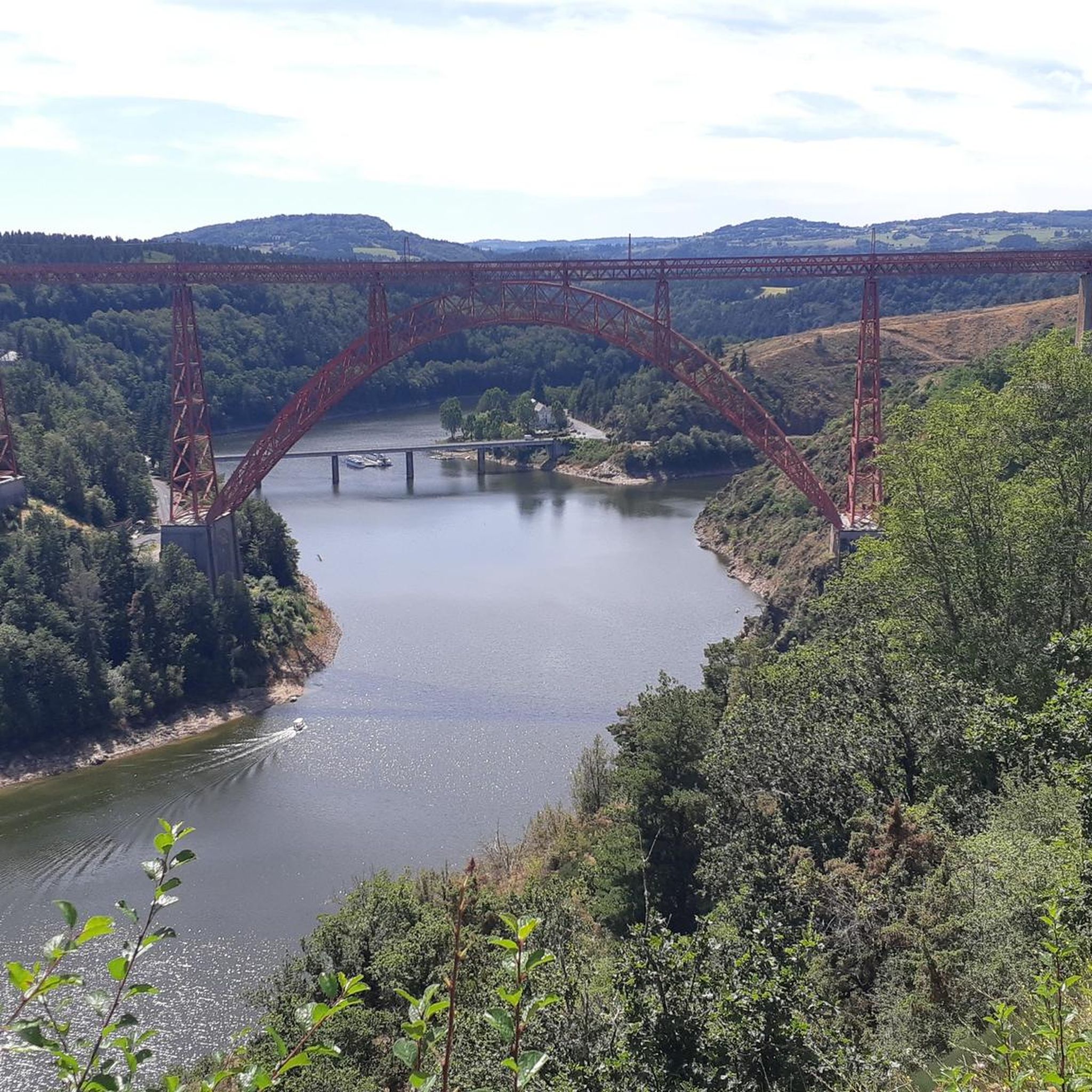
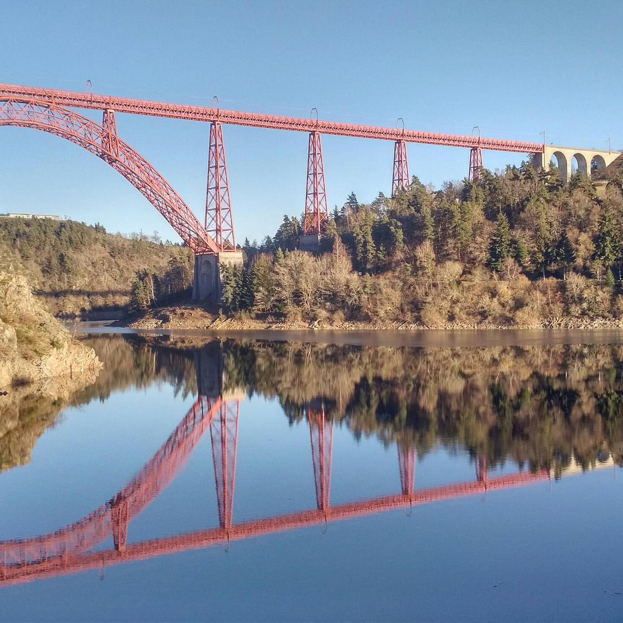
Superb view of the Garabit viaduct, allowing you to cross the Truyère gorges. This metal structure, created by Gustave Eiffel, is 565 meters long and rises to 122 meters above the water. It was at one time the “highest viaduct in the world”!
0
0

Panoramic view of Cantal and the lower town.
0
0
Frequently Asked Questions
How many road cycling routes are available around Ruynes-En-Margeride?
There are over 150 road cycling routes in the Ruynes-En-Margeride area, offering a wide range of options for different skill levels. These include 10 easy routes, 57 moderate routes, and 85 difficult routes.
What kind of terrain can I expect when road cycling in Ruynes-En-Margeride?
The terrain around Ruynes-En-Margeride is diverse and often challenging. You'll encounter wild highlands, extensive forests, moorlands, and granite formations. Many routes feature significant elevation changes, transitioning from the wild Margeride highlands to the open, hilly grasslands of the Aubrac plateau.
Are there challenging road cycling routes in the area?
Yes, the region is known for its challenging terrain. For instance, the View of the Garabit Viaduct – Malzieu-Ville loop from Viaduc de Garabit is a difficult 43.0-mile (69.1 km) route with over 3,800 feet (1,170 meters) of ascent. Another demanding option is the View of the Garabit Viaduct – Saint-Flour Medieval Town loop from Loubaresse, which covers 38.9 miles (62.7 km) with over 1,000 meters of elevation gain.
Are there easier road cycling routes for beginners or those seeking a less strenuous ride?
While many routes are challenging, there are options for easier rides. The region offers 10 routes classified as easy, and 57 as moderate. A good moderate option is the Ruynes-en-Margeride loop from Viaduc de Garabit, a 25.6-mile (41.1 km) route with around 600 meters of elevation gain, offering scenic views without extreme difficulty.
What scenic landmarks can I see while road cycling near Ruynes-En-Margeride?
The region is rich in landmarks. Many routes offer views of the iconic Garabit Viaduct. You can also cycle towards the historic town of Saint-Flour, perched on a volcanic rock, or pass by the ruins of Alleuze Castle. The Summit of Mont Mouchet offers panoramic views of the Auvergne mountains.
Are there routes that offer views of the Garabit Viaduct?
Yes, the Garabit Viaduct is a prominent feature in many road cycling routes. The Ruynes-en-Margeride loop from Viaduc de Garabit and the View of the Garabit Viaduct – Garabit Viaduct loop from Les Vingt-Quatre are excellent choices that specifically highlight this magnificent railway bridge designed by Gustave Eiffel.
What natural features define the landscape for road cycling here?
The landscape is characterized by wild highlands, extensive forests, and moorlands. Cyclists will experience transitions from the dense forests and moors of Margeride to the open, hilly grasslands of the Aubrac plateau. Dramatic scenery can also be found as routes descend towards the Gorges de la Truyère.
What do other road cyclists enjoy the most about road cycling in Ruynes-En-Margeride?
The area is highly rated by the komoot community, with an average score of 4.3 stars from over 40 reviews. Reviewers often praise the diverse landscapes, the challenging yet rewarding terrain, and the peaceful, low-traffic roads that allow for immersive exploration of the authentic territories.
Are there any family-friendly road cycling routes in Ruynes-En-Margeride?
While many routes feature significant elevation, there are easier options that can be more suitable for families, particularly the 10 routes classified as 'easy'. For specific family-oriented activities, Ruynes-en-Margeride also offers parks like Margeride Aventure and Fort Aventure with various outdoor leisure activities.
Can I find circular road cycling routes in the region?
Yes, many of the road cycling routes in Ruynes-En-Margeride are designed as loops, allowing you to start and end at the same point. Examples include the Ruynes-en-Margeride loop from Viaduc de Garabit and the View of Lac de Mallet – Chassan Castle loop from Loubaresse.
What is the best time of year for road biking in Ruynes-En-Margeride?
The region's diverse landscapes and challenging terrain are best enjoyed during the warmer months, typically from late spring to early autumn. This period offers more favorable weather conditions for navigating the significant elevation changes and enjoying the scenic views of the highlands and plateaus.
Are there any routes that pass by lakes or other water features?
Yes, the region features various lakes. The View of Lac de Mallet – Chassan Castle loop from Loubaresse is a difficult 51.4 km route that offers views of Lac de Mallet, providing a beautiful water feature along your ride.
Most popular routes around Ruynes-En-Margeride
Most popular attractions around Ruynes-En-Margeride

Get inspired with the komoot mobile app


Explore more
Browse the best Road cycling routes in other regions.
