The best running trails around Gandringen
4.5
(206)
11,286
runners
476
runs
Jogging routes around Gandringen often follow river paths and lead through forested areas, offering varied terrain for runners. The region features gentle elevation changes along river loops and more sustained climbs in some sections. These running routes provide opportunities to explore the local landscape, including the Moselle and Orne rivers, and the Bois de St Hubert.
Best jogging routes around Gandringen
- The most popular jogging route is Bridge over the Moselle loop from Uckange, a 10.1 miles (16.2 km)…
Last updated: September 30, 2026
5.0
(1)
206
runners
16.1km
01:40
30m
30m
Hard run. Very good fitness required. Mostly paved surfaces. Suitable for all skill levels.
55
runners
9.11km
00:57
10m
10m
Moderate run. Good fitness required. Mostly paved surfaces. Suitable for all skill levels.

5.0
(2)
36
runners
12.6km
01:20
40m
40m
Moderate run. Good fitness required. Mostly paved surfaces. Suitable for all skill levels.
5.0
(2)
38
runners
13.4km
01:23
10m
10m
Moderate run. Good fitness required. Mostly paved surfaces. Suitable for all skill levels.
17
runners
6.81km
00:42
40m
40m
Moderate run. Good fitness required. Mostly paved surfaces. Suitable for all skill levels.
Get access to more routes and recommendations from other explorers.
Already have an account?
Our route recommendations are based on thousands of hikes, rides, and runs completed by other people on komoot.
Start today with a free account
Your next adventure awaits.
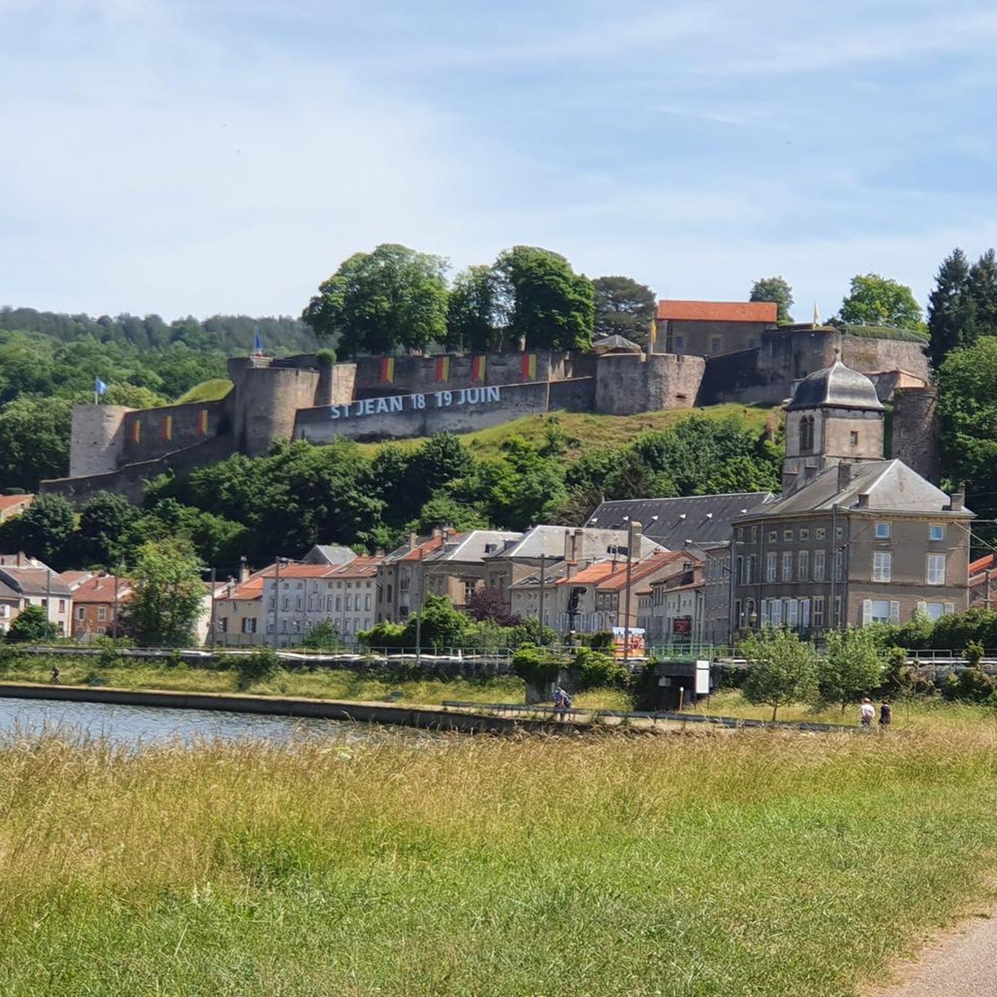
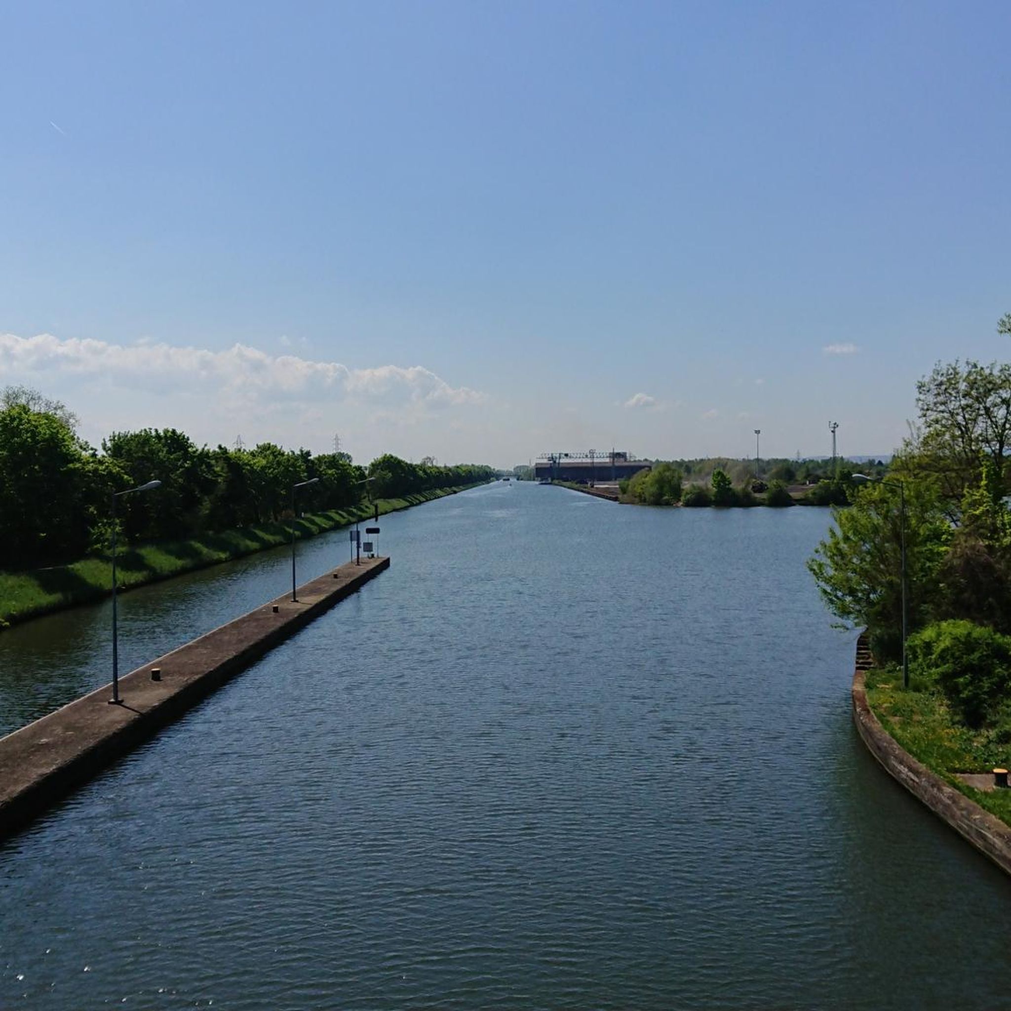
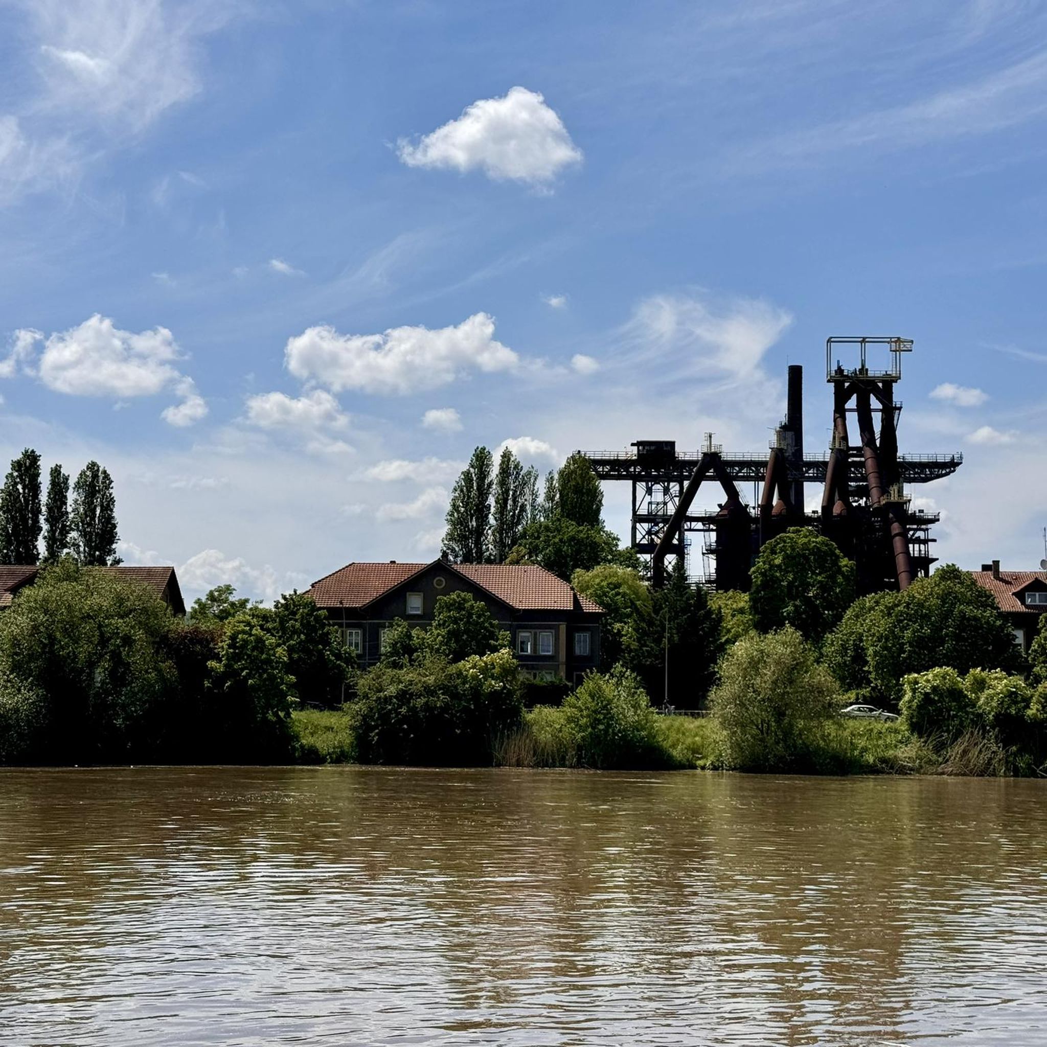
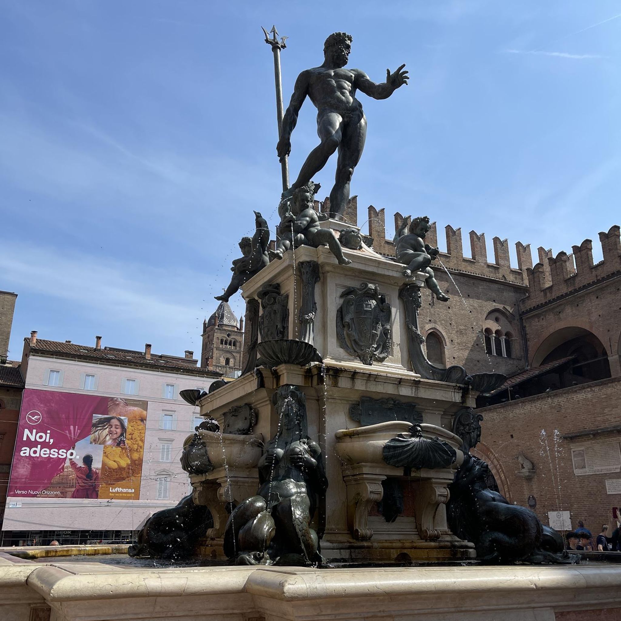
Tips from the Community

I wanted to visit them, but I already turned off into the vineyards at Perl
0
0

last look at the moselle, now heading through luxembourg towards belgium
0
0
now large ships are also sailing on the Moselle
0
0
hochofenanlage in uckanade an der mosel
0
0
Destination of the day reached Thionville
0
0

The cycle path rides really well
0
0

3/10/2025: The bridge is currently closed for repairs.
1
0

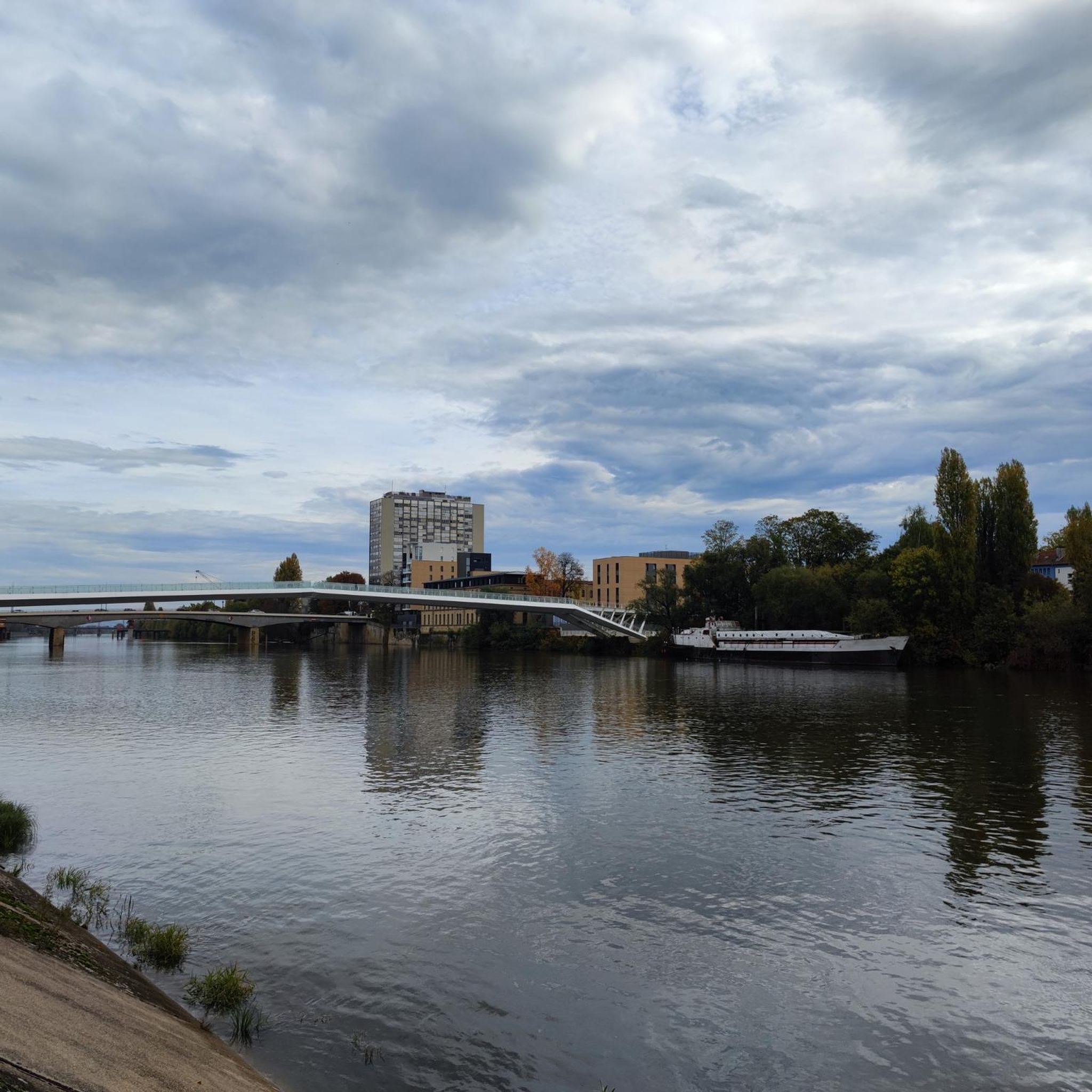
🌉 **Pont Europe – Thionville's Europe Bridge** The **Pont Europe** spans the Moselle River in the south of Thionville, connecting the city districts with the commercial area and the highway network. With its modern, curved steel structure, it symbolizes the connection between Europe – especially between France, Luxembourg, and Germany. 🚗 The bridge is used by cars, cyclists, and pedestrians alike. Safe paths run along the sides, offering views of the water and passing ships. **Tip:** Ideal for a quick photo stop at sunset – the light then reflects impressively in the Moselle below the bridge.
2
0
Frequently Asked Questions
How many running routes are available around Gandringen?
There are over 500 running routes available around Gandringen, offering a wide variety of options for all skill levels. The komoot community has explored these trails extensively, with over 10,000 runners using komoot to discover the area.
What do other runners say about the trails in Gandringen?
The running trails in Gandringen are highly rated by the komoot community, with an average score of 4.35 stars from over 150 reviews. Runners often praise the varied terrain, including river paths and forested sections, and the opportunities to explore the local landscape.
Are there running routes suitable for beginners in Gandringen?
Yes, Gandringen offers a good selection of routes for beginners. There are 41 easy running trails that provide a gentle introduction to jogging in the area. These routes typically feature minimal elevation changes and well-maintained paths.
Are there challenging running trails for experienced runners?
Absolutely. For experienced runners seeking a challenge, Gandringen has 77 difficult routes. Trails like the Orne River – Orne River Rapids loop from Gandrange offer longer distances and more sustained climbs, providing a demanding workout.
What kind of scenery can I expect on the running trails in Gandringen?
The running routes around Gandringen often follow picturesque river paths, such as those along the Moselle and Orne rivers, and lead through beautiful forested areas like the Bois de St Hubert. You can expect varied riverside scenery, green landscapes, and gentle elevation changes.
Are there circular jogging routes around Gandringen?
Yes, many of the jogging routes in Gandringen are designed as loops, allowing you to start and finish at the same point. Examples include the Bridge over the Moselle loop from Uckange and the Bois de St Hubert loop from Uckange, which offer convenient circular paths.
Are the jogging routes in Gandringen suitable for families?
While specific family-friendly amenities are not detailed for all routes, the region offers 41 easy routes that could be suitable for families looking for a gentle jog or walk. It's advisable to check individual route descriptions for terrain and length to ensure they meet your family's needs.
Are there dog-friendly running trails in Gandringen?
Many outdoor trails in the Gandringen area are generally dog-friendly, especially those through natural landscapes like forests and river paths. However, it's always recommended to keep dogs on a leash and check local regulations or specific route details for any restrictions.
Are there any interesting landmarks or attractions near the running routes?
Yes, there are several interesting points of interest nearby. You might encounter historical sites like Fort de Guentrange or the industrial heritage of U4 - Blast Furnace Park (Uckange). The town of Thionville is also a notable attraction in the wider region.
Where can I find parking for the jogging routes in Gandringen?
While specific parking information isn't provided for every route, many trailheads in popular outdoor areas typically have designated parking facilities. For routes starting in towns or villages, street parking or public car parks are often available. It's best to check the starting point of your chosen route on komoot for more precise details.
Is public transport available to access the running trails in Gandringen?
Access to running trails via public transport can vary depending on the specific starting point. Larger towns or villages near the trails may have bus or train connections. For routes starting in more remote areas, public transport options might be limited, making personal transport more convenient.
Are there any running routes that pass by cafes or places to rest?
While the guide doesn't explicitly list routes with cafes, many trails that pass through or near towns and villages, such as the Running loop from Amnéville, will likely have opportunities to find refreshments or places to rest. River paths often lead through populated areas where amenities are available.
Most popular routes around Gandringen
Most popular attractions around Gandringen

Get inspired with the komoot mobile app


Explore more
Browse the best Running Trails & Routes in other regions.
