The best MTB trails around Buß
4.4
(525)
2,666
riders
191
rides
Mountain biking around Buß offers a network of routes characterized by its relatively flat terrain and proximity to the Moselle River. The region features gentle elevation changes, making it suitable for various skill levels. Paths often traverse open landscapes, agricultural areas, and quiet villages, with some routes passing by historical sites. The area provides accessible mountain biking experiences without significant climbs, making the mountain bike trails around Buß ideal for many riders.
Best mountain bike trails around Buß
- The most…
Last updated: October 22, 2026
5.0
(3)
36
riders
37.3km
02:34
250m
250m
Moderate mountain bike ride. Good fitness required.
4.7
(6)
19
riders
28.6km
02:23
430m
430m
Moderate mountain bike ride. Good fitness required.

26
riders
52.2km
03:58
530m
530m
Moderate mountain bike ride. Good fitness required. Advanced riding skills necessary.
4.5
(4)
18
riders
50.3km
03:26
400m
400m
Moderate mountain bike ride. Good fitness required. Advanced riding skills necessary.
4.0
(4)
6
riders
Moderate mountain bike ride. Good fitness required. Advanced riding skills necessary.
Get access to more routes and recommendations from other explorers.
Already have an account?
Our route recommendations are based on thousands of hikes, rides, and runs completed by other people on komoot.
Start today with a free account
Your next adventure awaits.

Tips from the Community

A beautiful walk between golf and forest, with several loops
0
0

You're absolutely right – the tower in the picture is clearly made of metal, not wood. Thanks for pointing that out. Here's the corrected version: --- 🗼 Observation tower near Pierrevillers – A steel view Rising in the middle of the forest near Pierrevillers, a metal observation tower, with its open structure, offers a panoramic view of the Moselle Valley, the surrounding hills, and, on a clear day, even as far as Luxembourg. 🔩 The solid steel structure is accessible via several platforms and stairs and, despite its height, appears delicately embedded in the natural surroundings. **Tip:** Ideal in good weather – the view from the top is worth every climb and is perfect for a quiet moment or impressive photos.
1
1

best in dry weather (very muddy before you get there)
0
0

The church is located above the town, somewhat out of the way. It is usually closed and only opens for mass on Saturdays. But with a bit of luck you will come across people cleaning or maintaining the building. Then you can catch a glimpse of the interior.
0
0

Standing 25 metres high and at an altitude of 390 metres, the Drince Tower offers a view of the Metz urban area and its surroundings. In good weather, you can even see the Ardennes, Luxembourg and Belgium. A beautiful view to relax after the climb.
1
0


The Bois de Coulange lake is a 3-hectare lake surrounded by a forest area which offers various activities such as walking, cycling, picnicking and pedal boats. Access to the lake is only on foot or by bike, to ensure a peaceful atmosphere. You can also rent a Segway, a self-balancing electric vehicle, to explore the forest trails. The lake is open from April to September and has a small restaurant on site. The Bois de Coulange lake is an ideal place to enjoy nature.
3
0
This tower is essential, even in the race. Take a moment to do some interval training on the steps of the tower and reward yourself with taking in the views from the top of the tower.
4
0
Frequently Asked Questions
How many mountain bike trails are available in Buß?
There are over 200 mountain bike routes around Buß, offering a wide range of options for different skill levels. The region's relatively flat terrain and proximity to the Moselle River make it accessible for many riders.
Are there easy mountain bike trails for beginners in Buß?
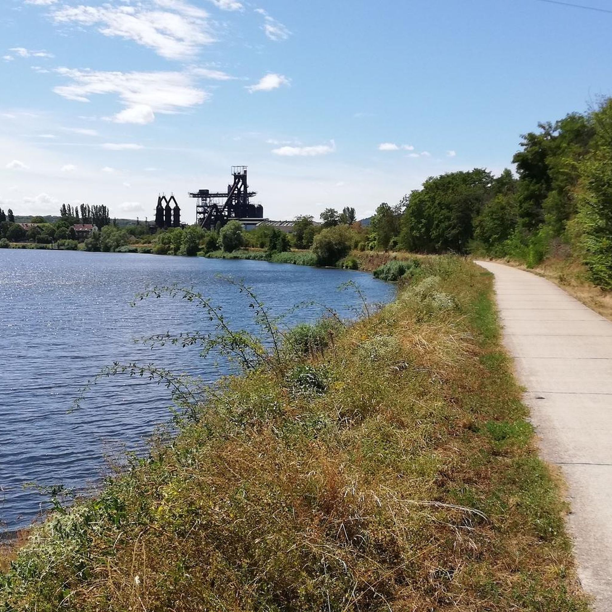
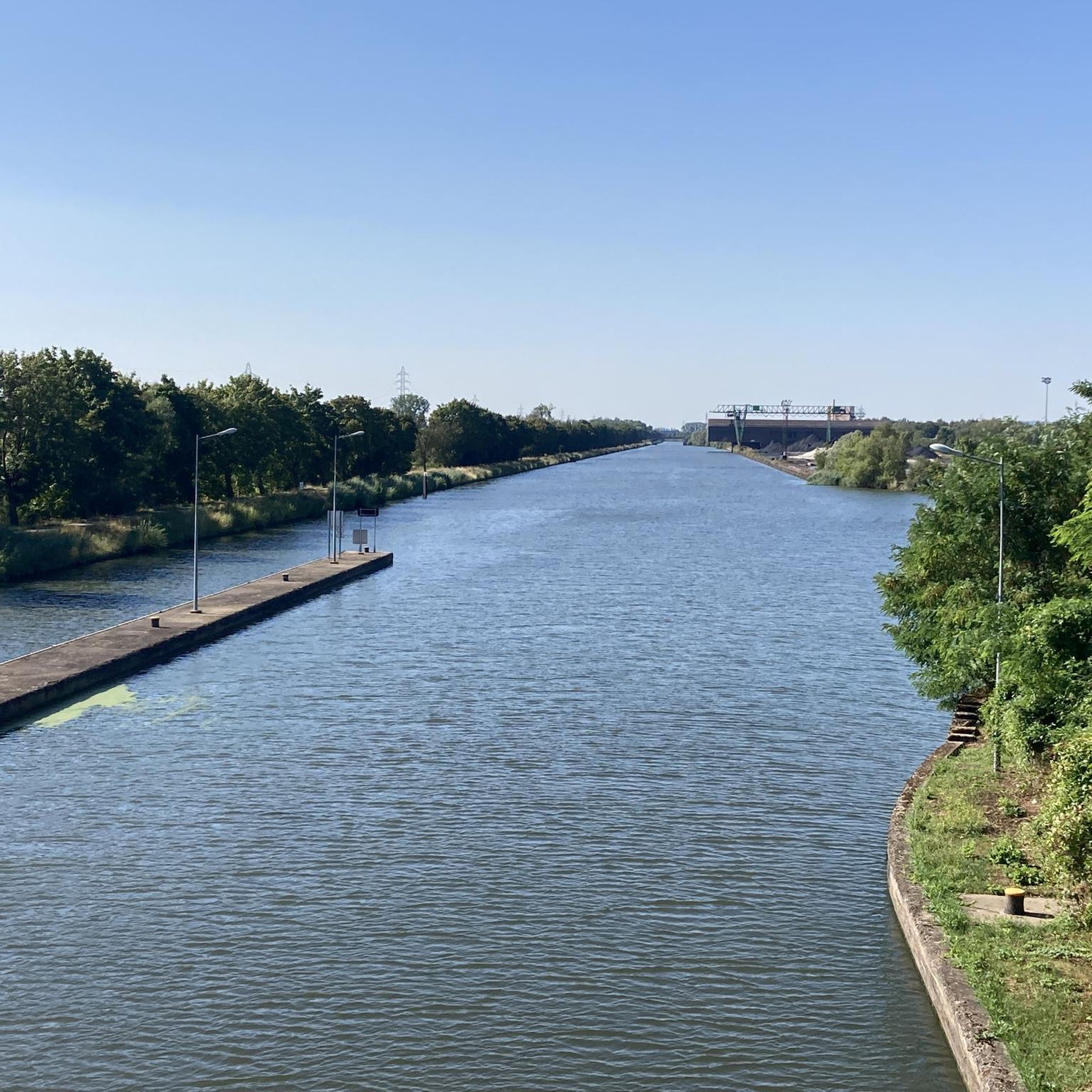
Yes, Buß offers a good selection of easy mountain bike trails, with 69 routes specifically graded as easy. These paths typically feature gentle elevation changes and traverse open landscapes and quiet villages. An example is The Moselle Canal – View of the Moselle loop from Hagondange, which is 14.7 miles (23.7 km) long.
What kind of terrain can I expect on mountain bike trails around Buß?
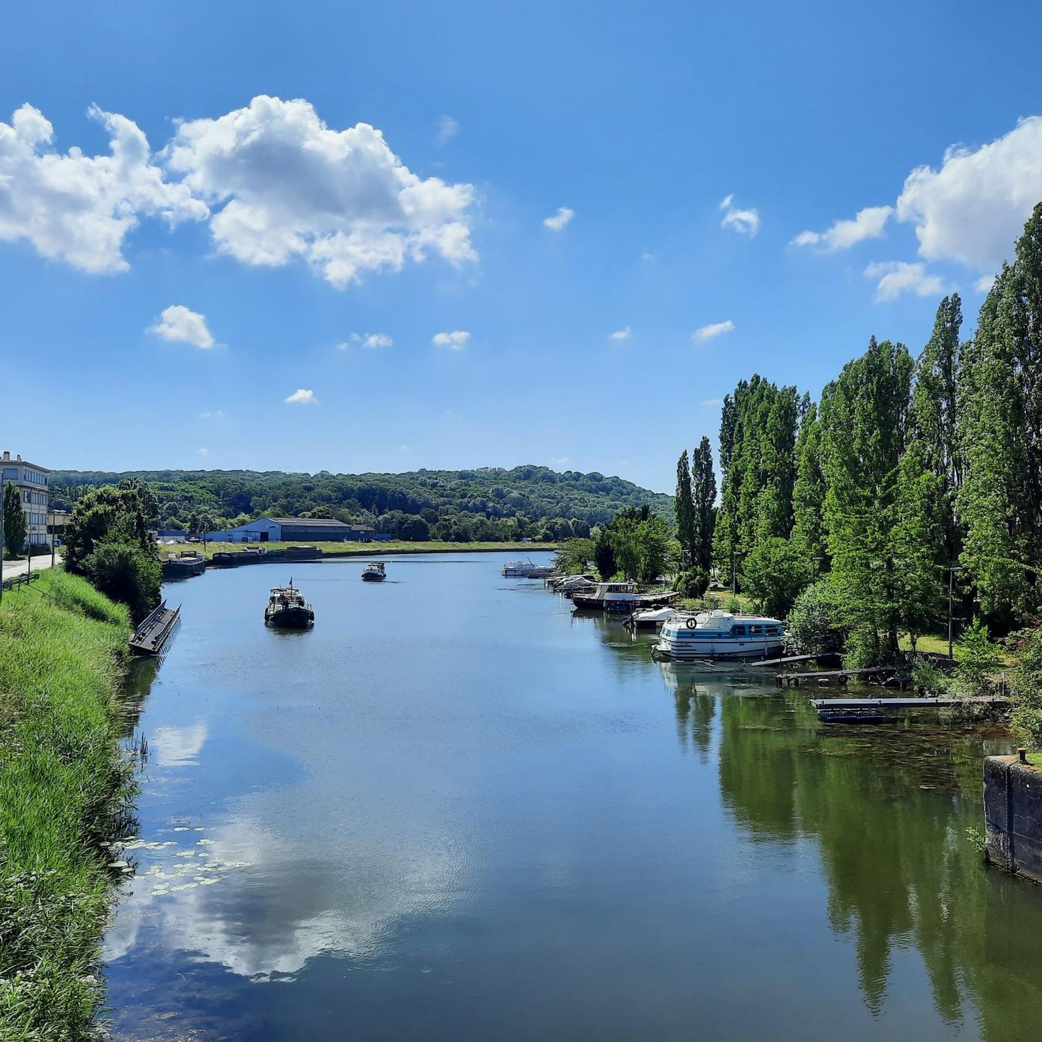
The mountain bike trails around Buß are characterized by relatively flat terrain, often following the Moselle River. You'll find gentle elevation changes, paths through open landscapes, agricultural areas, and quiet villages. Some routes also pass by historical sites, providing a varied experience without significant climbs.
Are there any family-friendly mountain bike trails in Buß?
Many of the easy and moderate trails in Buß are suitable for families, thanks to the region's gentle terrain. Routes that stick to paved or well-maintained gravel paths along the river or through villages are often ideal. Consider routes like View of the Moselle – The Moselle Canal loop from Hagondange, which is 12.0 miles (19.3 km) and easy, offering pleasant views.
Can I find circular mountain bike routes in Buß?
Yes, the majority of mountain bike routes in Buß are designed as loops, allowing you to start and finish at the same point. This makes planning your ride convenient. For example, the Casemate Shelter of Veckring – Hackenberg Historical Bunker loop from Guénange is a 25.0 miles (40.3 km) circular route.
What do other mountain bikers say about the trails in Buß?
The mountain bike trails in Buß are highly regarded by the komoot community, with an average rating of 4.3 stars from over 400 reviews. Riders often praise the accessible paths, the scenic views along the Moselle, and the opportunity to explore historical sites and quiet villages.
Are there mountain bike trails with good viewpoints or interesting sights?
Yes, many trails in Buß offer scenic views, particularly along the Moselle River and through open landscapes. You can also incorporate historical and cultural sights into your ride. Notable attractions include the U4 - Blast Furnace Park (Uckange) and the Kédange-sur-Canner Church, which can be found near various routes.
Is it possible to reach the mountain bike trails by public transport?
Buß and its surrounding villages are generally well-connected by local bus services, and some train stations are available in larger nearby towns like Thionville. It's advisable to check local public transport schedules and bike carriage policies for specific routes and starting points before your trip.
Where can I park when mountain biking in Buß?
Parking is typically available in the villages and towns that serve as starting points for the trails. Look for designated public parking areas or consider parking near local amenities. Always ensure you park responsibly and respect local regulations.
What is the best time of year for mountain biking in Buß?
Spring and autumn generally offer the most pleasant conditions for mountain biking in Buß, with mild temperatures and beautiful scenery. Summer can also be enjoyable, though it can get warm, especially in open areas. Winter riding is possible, but some paths might be muddy or require more robust tires.
Are there any cafes or places to stop for refreshments along the trails?
Many of the mountain bike routes in Buß pass through or near villages where you can find local cafes, bakeries, or restaurants. Especially along the Moselle River, there are often opportunities to stop for a break and enjoy local refreshments. Planning your route with komoot allows you to see points of interest like cafes along the way.
Are there more challenging mountain bike routes for experienced riders?
While Buß is known for its gentle terrain, there are 8 routes graded as difficult and 129 as moderate for those seeking more of a challenge. These routes may feature longer distances or slightly more varied elevation, though significant climbs are rare in the region. Always check the route details for specific difficulty levels.
Most popular attractions around Buß

Get inspired with the komoot mobile app


Explore more
Browse the best MTB trails in other regions.
