The best MTB trails around Fay-Sur-Lignon
4.5
(132)
697
riders
41
rides
Mountain bike trails Fay-sur-Lignon are set within the Haute-Loire department, characterized by a diverse and rugged natural landscape shaped by volcanic origins. The terrain features mountains, high plateaus, extensive forests, and dramatic gorges, providing varied conditions for mountain biking. Riders can expect routes with significant elevation changes, traversing wide-open spaces and navigating sections like the Lignon gorges. This region is part of the "Espace VTT-FFC du Haut-Lignon," offering a network of trails.
Best mountain bike trails around Fay-Sur-Lignon
- The most…
Last updated: October 3, 2026
4.5
(20)
70
riders
Hard mountain bike ride. Good fitness required. Advanced riding skills necessary. Some portions of the route may require you to push your bike.
3.8
(6)
16
riders
28.1km
02:33
530m
530m
Moderate mountain bike ride. Good fitness required. Advanced riding skills necessary.

4.3
(3)
7
riders
Moderate mountain bike ride. Good fitness required. Suitable for all skill levels.
3.0
(1)
5
riders
26.9km
02:20
610m
610m
Moderate mountain bike ride. Good fitness required. Advanced riding skills necessary.
5.0
(1)
5
riders
11.8km
01:02
220m
220m
Easy mountain bike ride. Great for any fitness level. Suitable for all skill levels.
Get access to more routes and recommendations from other explorers.
Already have an account?
Our route recommendations are based on thousands of hikes, rides, and runs completed by other people on komoot.
Start today with a free account
Your next adventure awaits.

Tips from the Community


The return route via La Chèze is magnificent! Superb views!
0
0
Nice little hike not suitable for strollers
0
0

pretty flowers, pretty trees, pretty views, but what more could you ask for...oh yes, a windbreaker, because the mistral makes his grandmother cold.
0
0
The cross is a bit ugly but it is not for it that we come to frolic in these green lands but rather for this landscape that would make a Caribou pale.
0
0
landscape that would make a caribou pale
0
0
Impassable at the end, definitely don't go there with a stroller!
0
0
Very nice, unfortunately the bridge no longer exists, probably washed away by a flood🫤 That said, you can still cross with a bit of portage and wet feet if the water level isn't too high.
3
0
Frequently Asked Questions
How many mountain bike trails are there in Fay-sur-Lignon?
The Fay-sur-Lignon area offers a comprehensive network of over 40 mountain bike trails. These routes cater to various skill levels, from easy paths to challenging routes with significant climbs, all within the diverse landscape of the Haute-Loire department.
What is the best time to visit Fay-sur-Lignon for mountain biking?
The best time for mountain biking in Fay-sur-Lignon is generally from spring through autumn. During these seasons, the weather is most favorable for exploring the region's varied terrain, including its forests, plateaus, and gorges. Winter can bring snow, making some trails impassable or requiring specialized equipment.
Are there easy mountain bike trails suitable for beginners in Fay-sur-Lignon?
Yes, Fay-sur-Lignon has several easy mountain bike trails perfect for beginners or those looking for a more relaxed ride. An example is the Lake Saint-Front – The lake loop from Saint-Front, which is 11.8 miles (19 km) long and offers gentle terrain around the scenic crater lake.
Are there challenging mountain bike trails for experienced riders in Fay-sur-Lignon?
Absolutely. The region's volcanic origins and varied topography provide numerous challenging routes for experienced mountain bikers. You'll find trails with significant elevation changes, technical sections, and long distances. Nearly half of the trails in the area are rated as difficult, offering plenty of options for advanced riders.
What kind of scenery can I expect on mountain bike trails around Fay-sur-Lignon?
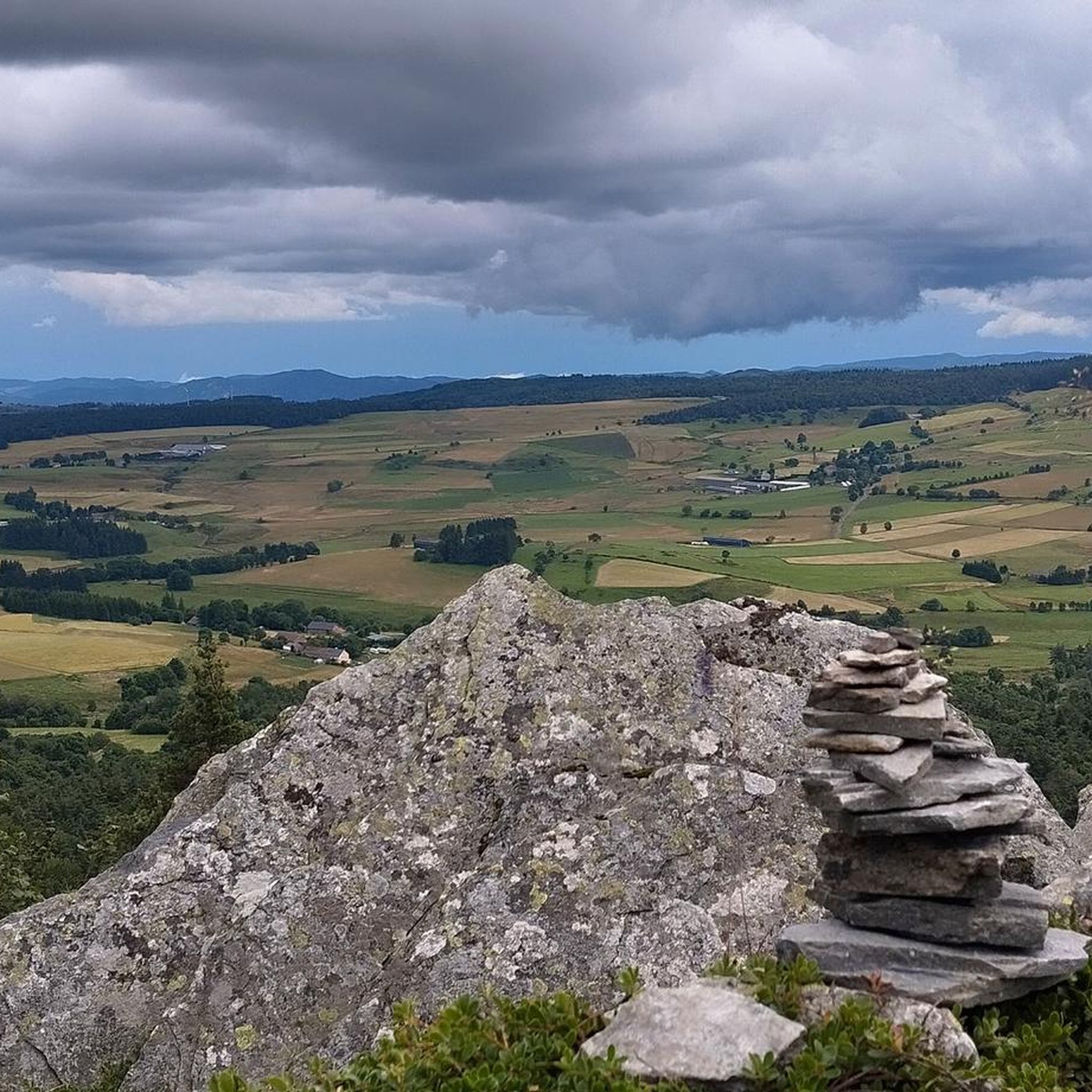
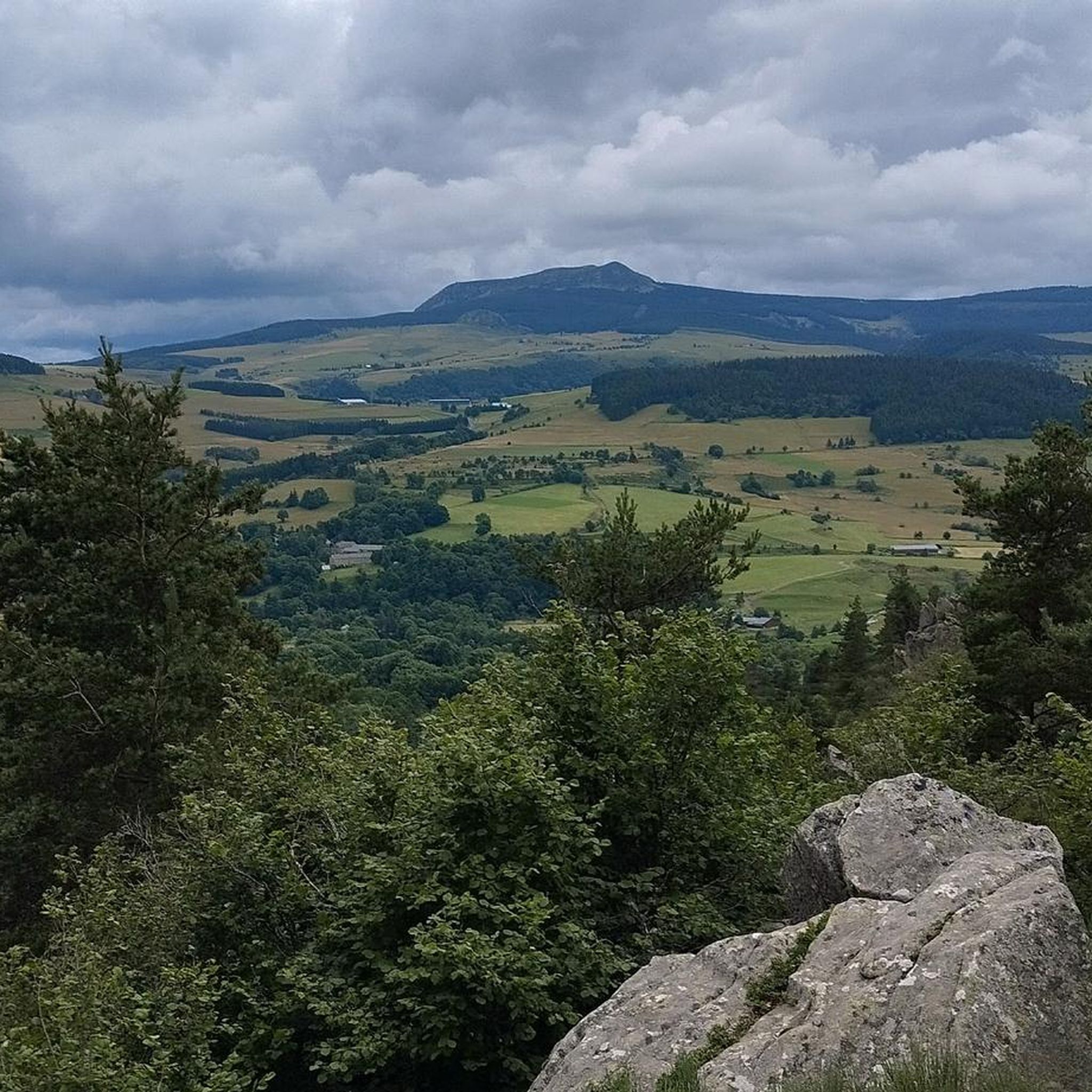
Mountain bike trails around Fay-sur-Lignon offer incredibly diverse scenery. You'll traverse high plateaus, dense forests of beech and fir, and dramatic gorges carved by the Lignon river. Expect panoramic views from prominent peaks like Mont Mézenc and Pic du Lizieux, and discover unique volcanic features throughout the landscape.
Are there any circular mountain bike routes in Fay-sur-Lignon?
Yes, many mountain bike routes in Fay-sur-Lignon are designed as loops, allowing you to start and end at the same point. For instance, the Blue Lake – Pic de Lizieux Trail loop from Montusclat is a moderate 16.6 miles (26.8 km) circular route that offers stunning views.
Can I find long-distance mountain bike routes in the Fay-sur-Lignon area?
Yes, the Fay-sur-Lignon area is part of the larger "Espace VTT-FFC du Haut-Lignon" and is also traversed by sections of the Grande Traversée VTT de la Haute-Loire, a 620-kilometer route. This offers opportunities for multi-day adventures or combining shorter trails for longer rides, exploring mountains, plateaus, and wild gorges.
Are mountain bike trails in Fay-sur-Lignon dog-friendly?
Many trails in the Fay-sur-Lignon region are suitable for dogs, especially those that pass through forests and open plateaus. However, it's always recommended to keep dogs on a leash, especially in areas with livestock or protected wildlife. Check specific trail regulations or local signage for any restrictions.
Are there family-friendly mountain bike trails in Fay-sur-Lignon?
Yes, there are family-friendly options available. While many trails involve significant elevation, some easier routes are suitable for families with children. These often follow less technical paths through forests or around lakes, providing a pleasant outdoor experience for all skill levels.
Where can I find parking for mountain bike trails in Fay-sur-Lignon?
Parking is generally available at the starting points of many trails and in nearby villages. For example, routes like the Boutières Cross Pass loop often have designated parking areas in or near Communauté de communes Mézenc-Loire-Meygal. It's advisable to check the specific route details on komoot for recommended parking locations.
What natural landmarks or attractions can I see along mountain bike trails in Fay-sur-Lignon?
The trails in Fay-sur-Lignon pass by numerous natural landmarks. You can encounter prominent peaks like the South summit of Mont Mézenc, enjoy panoramic views from the Col de la Croix Peccata, or explore the dramatic Lignon Gorges. The region's volcanic past is evident in features like the "Suc du Volamont" and the ancient volcano "Chier des Roches".
What do other mountain bikers enjoy the most about mountain biking in Fay-sur-Lignon?
The mountain biking experience in Fay-sur-Lignon is highly rated by the komoot community, with an average score of 4.5 stars. Reviewers frequently praise the region's diverse and rugged natural landscape, the challenging topography with significant elevation changes, and the stunning panoramic views from peaks like Pic du Lizieux.
Most popular routes around Fay-Sur-Lignon
Most popular attractions around Fay-Sur-Lignon

Get inspired with the komoot mobile app


Explore more
Browse the best MTB trails in other regions.
