The best walks and hikes around Tramezaïgues
4.5
(2241)
25,205
hikers
304
hikes
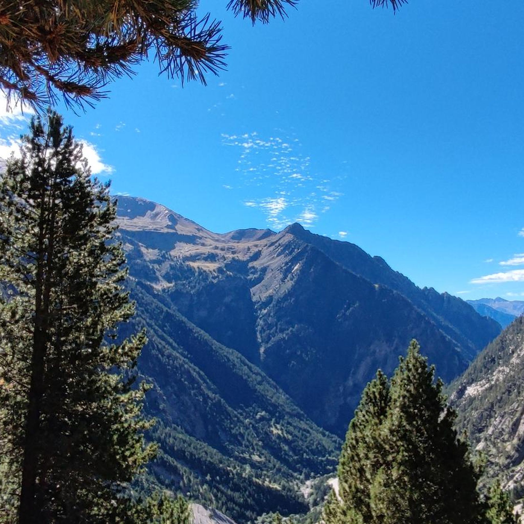
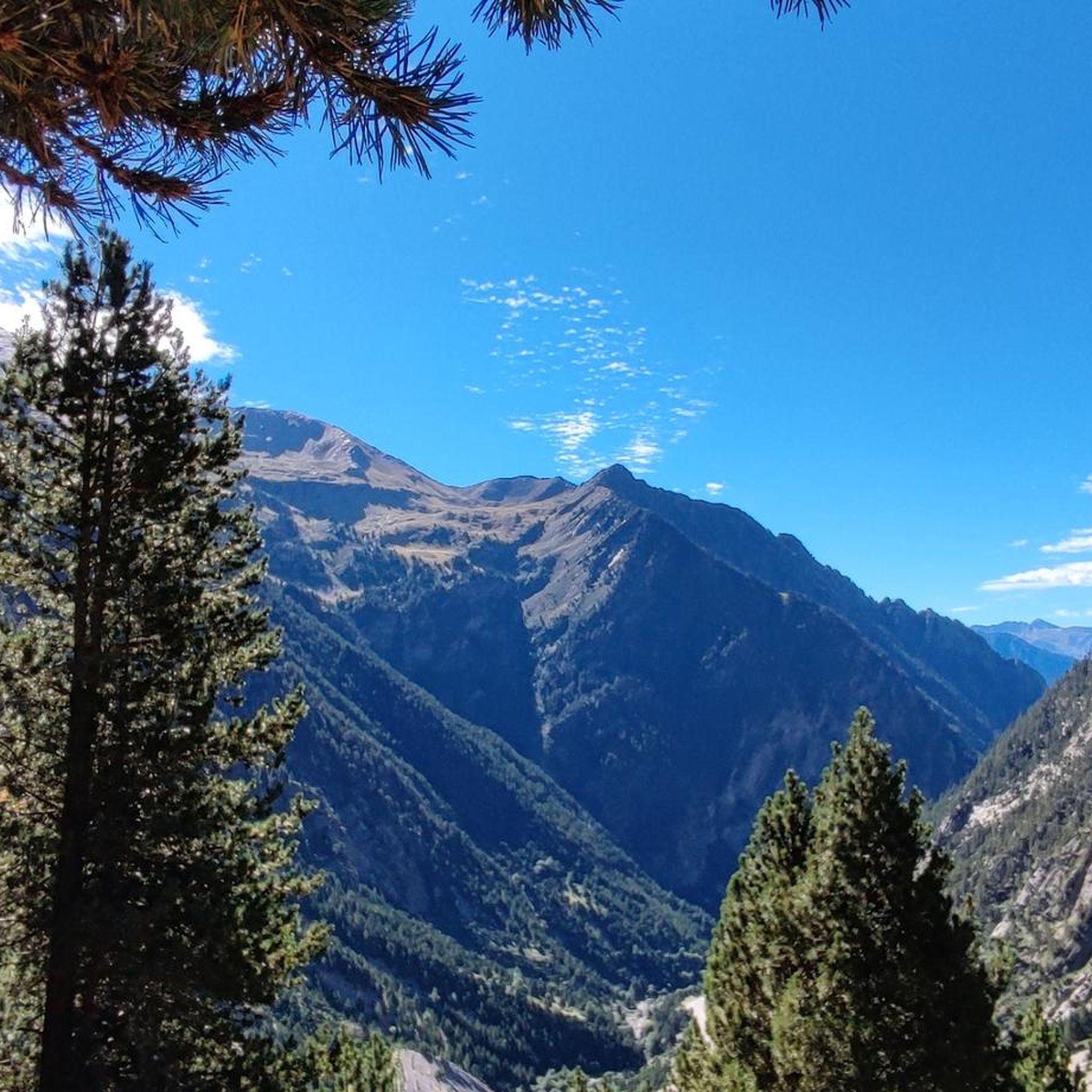
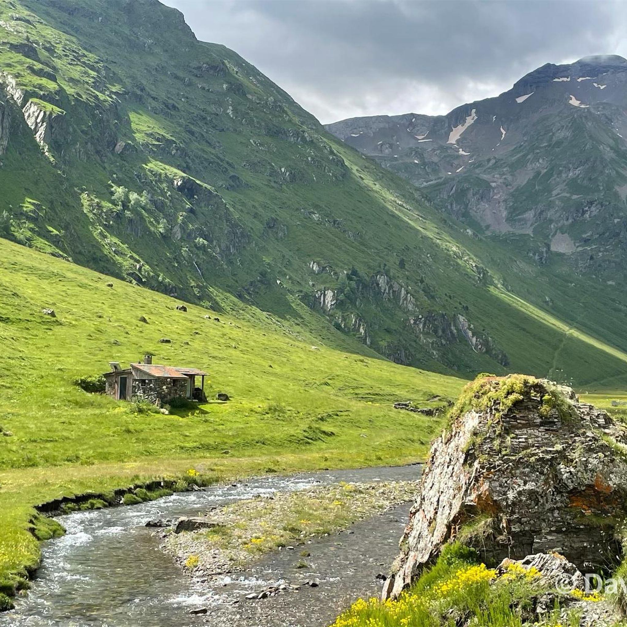
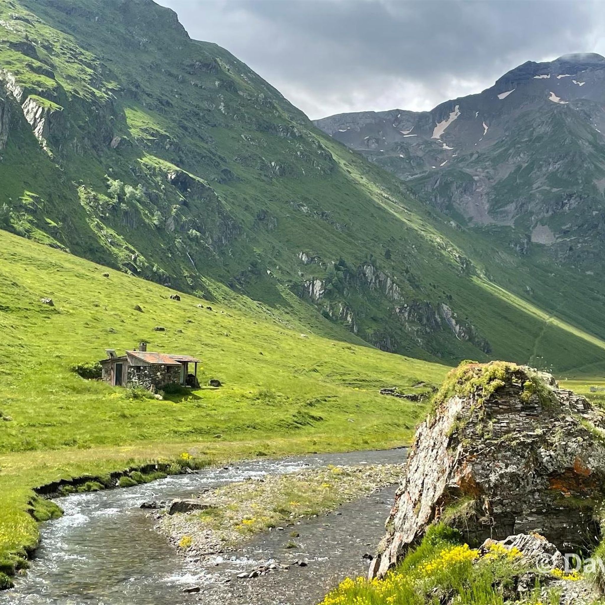
Hiking around Tramezaïgues offers access to a diverse landscape, situated at the confluence of the Neste d'Aure and Rioumajou torrent at 960 meters altitude. The region features significant elevation changes, from riverbanks at 913 meters to alpine peaks reaching up to 2935 meters at Pic d'Aret. A substantial part of the area is within the Pyrénées National Park and the Natura 2000 site "Rioumajou and Moudang," preserving its natural beauty and varied ecosystems.
Best hiking trails around Tramezaïgues
- The most…
Last updated: July 22, 2026
4.5
(53)
460
hikers
10.7km
03:12
250m
250m
Moderate hike. Good fitness required. Mostly accessible paths. Sure-footedness required.
4.5
(33)
423
hikers
11.6km
03:46
490m
490m
Moderate hike. Good fitness required. Easily-accessible paths. Suitable for all skill levels.

Sign up for free
4.3
(19)
109
hikers
7.91km
02:34
320m
320m
Moderate hike. Good fitness required. Easily-accessible paths. Suitable for all skill levels.
5.0
(2)
56
hikers
11.0km
06:32
1,200m
1,200m
Hard hike. Very good fitness required. Mostly accessible paths. Sure-footedness required.
5.0
(3)
55
hikers
25.9km
09:18
1,140m
1,140m
Hard hike. Very good fitness required. Mostly accessible paths. Sure-footedness required.
Get access to more routes and recommendations from other explorers.
Sign up for free
Already have an account?
Our route recommendations are based on thousands of hikes, rides, and runs completed by other people on komoot.
Start today with a free account
Your next adventure awaits.
Login or Signup

Tips from the Community

a well-executed altarpiece in an otherwise modern church
0
0

Difficult pass at first, especially in the heat. Easier after the first third. Be careful of the unlit tunnel 1 km from the summit. For added peace and quiet, the road leading up to the pass is closed to traffic from 4 p.m. to 6 p.m.
0
0


Very beautiful village perched at 820 meters above sea level on the heights of Saint-Lary-Soulan. It is the starting point for many hiking trails. After the effort, sit on the terrace on the village square to have a drink and enjoy the wonderful views of the valley.
0
0


a superb hike to do. Very impressive when the dam is under construction and the lake is almost empty.
0
0

This resort village, located at more than 800 meters above sea level, exudes a rather unique atmosphere thanks in part to its facades made of stone and half-timbering and its Spanish festival atmosphere! A mixture that anchors the town in an ancient tradition.
0
0

Culminating at 2,215 meters above sea level, it is the highest pass in the Pyrenees taken by a road. Overlooking the village of Saint-Lary Soulan, it offers a lovely panorama of the valley.
0
0
Frequently Asked Questions
How many hiking trails are available around Tramezaïgues?
Tramezaïgues offers a wide variety of hiking opportunities, with over 290 routes recorded on komoot. These range from easy strolls along riverbanks to challenging ascents into the alpine peaks, catering to all skill levels.
Are there easy hiking trails suitable for beginners or families in Tramezaïgues?
Yes, Tramezaïgues has 41 easy routes, many of which are suitable for families. For instance, the region's historical 'Circuit du Pays d'Art et d'Histoire à Tramezaïgues' offers an accessible way to explore the commune's monuments on foot. The area's diverse landscape, transitioning from riverbanks to lower mountain paths, provides gentle options.
What kind of challenging hikes can I find in Tramezaïgues?
For experienced hikers, Tramezaïgues provides 88 difficult routes. These can involve significant elevation changes, leading to alpine peaks like Pic d'Aret (2935 meters). Some multi-day treks, such as variants of the HRP (Haute Randonnée Pyrénéenne), may even involve glacier passages requiring specialized equipment like crampons. A challenging option is the Lake Consaterre loop from Grotte F4, which features over 1200 meters of elevation gain.
Are there any circular walks in the Tramezaïgues area?
Yes, many routes around Tramezaïgues are designed as circular walks, allowing you to start and end at the same point. A popular moderate circular trail is the Moudang Barns – Les granges de moudang loop from Le Pont Du Moudang, which explores the scenic Moudang valley. Another option is the Moudang Barns – Route to Lac d'Orédon loop from Le Pont Du Moudang, leading towards a beautiful lake.
What natural attractions can I see along the hiking trails in Tramezaïgues?
Tramezaïgues is rich in natural beauty, being part of the Pyrénées National Park and Natura 2000 site. Hikers can discover stunning lakes such as Middle Bastan Lake, Lake Oule, and Lake Cap-de-Long. The dramatic Troumouse Cirque and various mountain passes like Col de Val Louron-Azet and Aumar Pass also offer breathtaking views.
Are there historical sites or landmarks to explore while hiking in Tramezaïgues?
Yes, Tramezaïgues has a rich history. You can visit the ruins of its 12th-century castle, a listed historical monument, perched at the confluence of the Neste d'Aure and Rioumajou torrent. The Romanesque apse of the Church of Saint-Denis-Saint-Nicolas is another historical point of interest. An old Roman road, visible from the village cemetery, also offers a glimpse into the region's past connections to Spain.
What is the best time of year to go hiking in Tramezaïgues?
The best time for hiking in Tramezaïgues is generally from late spring to early autumn (May to October) when the weather is most favorable. However, due to the region's significant precipitation even in drier months, it's always wise to be prepared for changing conditions. For higher alpine routes, the summer months offer the most accessible conditions, while winter hiking is possible but requires specific gear and experience due to snow and ice.
Is Tramezaïgues suitable for dog-friendly walks?
While specific regulations vary within the Pyrénées National Park, many trails outside the core protected zones and in the surrounding valleys are generally dog-friendly, provided dogs are kept under control. The diverse landscape with riverbanks and forest paths offers pleasant walks for you and your dog. Always check local signage for any restrictions, especially in sensitive wildlife areas.
What do other hikers enjoy most about hiking in Tramezaïgues?
The hiking routes in Tramezaïgues are highly rated by the komoot community, with an average score of 4.5 stars from over 2,000 reviews. Hikers frequently praise the diverse terrain, from lush river valleys to dramatic alpine scenery, and the well-preserved natural beauty within the national park. The variety of routes, catering to different skill levels, is also a highlight for many.
Are there any hikes that connect to nearby villages or towns?
Yes, some routes offer connections to neighboring communities. For example, the Saint-Lary-Soulan – Vignec loop from Cadeilhan-Trachère is a popular moderate trail that links local villages, providing a cultural and scenic experience as you traverse the landscape between them.
Is parking available for hikers in Tramezaïgues?
Parking is generally available in and around Tramezaïgues, particularly at common starting points for popular trails or near the village center. As a gateway to numerous hikes, the area is accustomed to accommodating visitors. For specific trailheads, it's advisable to check local maps or komoot tour details for designated parking areas.
Most popular routes around Tramezaïgues
Most popular attractions around Tramezaïgues

Get inspired with the komoot mobile app


Explore more
Browse the best Hikes in other regions.
