The best running trails around Niederrohrdorf
4.6
(16)
253
runners
21
runs
Jogging routes around Niederrohrdorf offer a diverse range of natural landscapes, making the region suitable for various running preferences. The area features a mix of accessible paths, forested sections, and gentle hills, providing varied terrain for runners. Trails range from easy, relatively flat routes to more challenging paths with moderate elevation gains. This variety ensures options for both casual runners and those seeking more rigorous training.
Best jogging routes around Niederrohrdorf
- The most popular jogging route is Torfmoos loop from…
Last updated: November 10, 2026
4.5
(2)
32
runners
4.97km
00:32
50m
50m
Easy run. Mostly paved surfaces.
5.0
(1)
29
runners
4.71km
00:31
60m
60m
Easy run. Mostly paved surfaces.

4.5
(2)
30
runners
8.15km
00:52
60m
60m
Moderate run. Good fitness required. Mostly paved surfaces.
25
runners
14.1km
01:37
320m
320m
Hard run. Very good fitness required. Mostly paved surfaces.
5.0
(1)
17
runners
Easy run. Mostly paved surfaces.
Get access to more routes and recommendations from other explorers.
Already have an account?
Our route recommendations are based on thousands of hikes, rides, and runs completed by other people on komoot.
Start today with a free account
Your next adventure awaits.
Tips from the Community

A beautiful barbecue area at the Heisterberg crossroads invites you to take a short break.
8
0
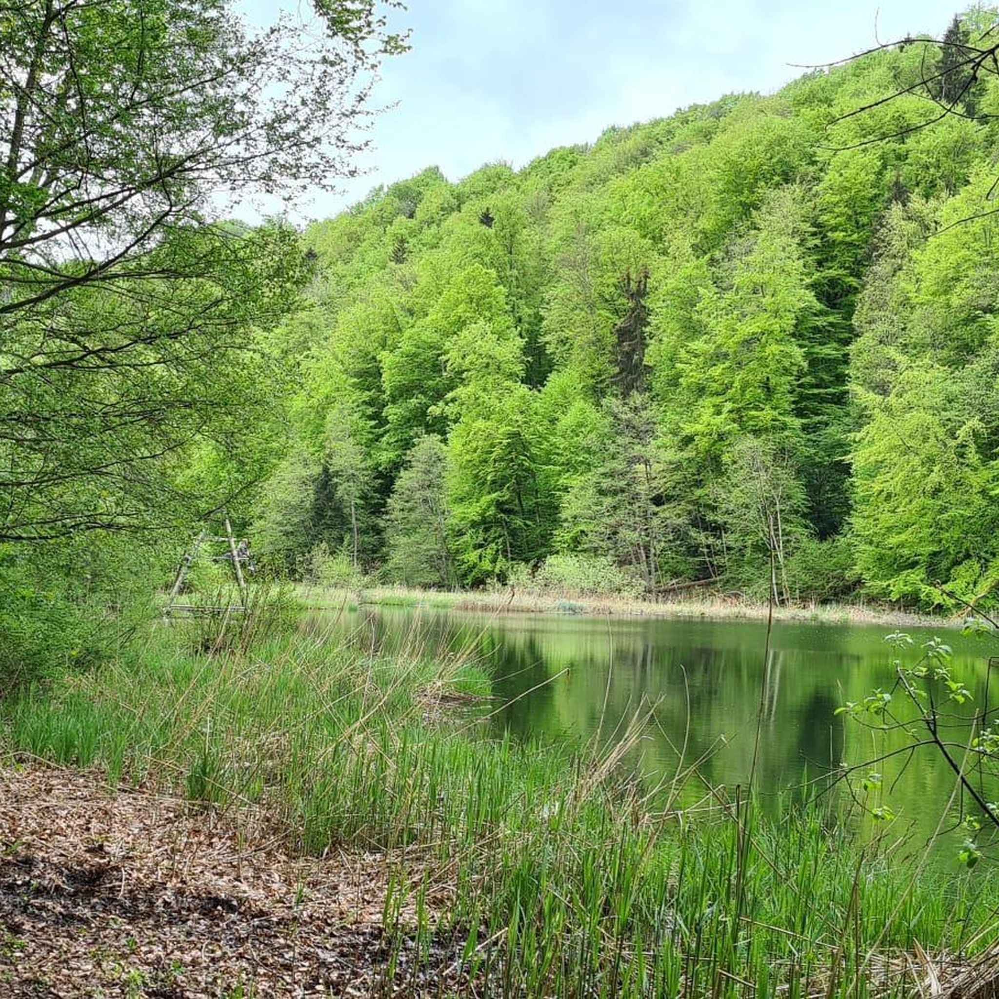
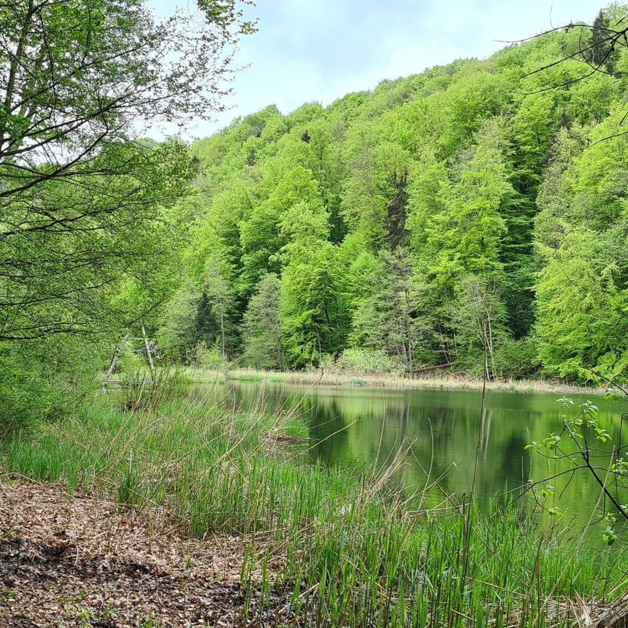
The narrow trail leads variedly through the green landscape and in places conveys a real hiking feeling away from wide forest paths. Especially beautiful are the quiet atmosphere and the constantly changing impressions along the way.
8
0
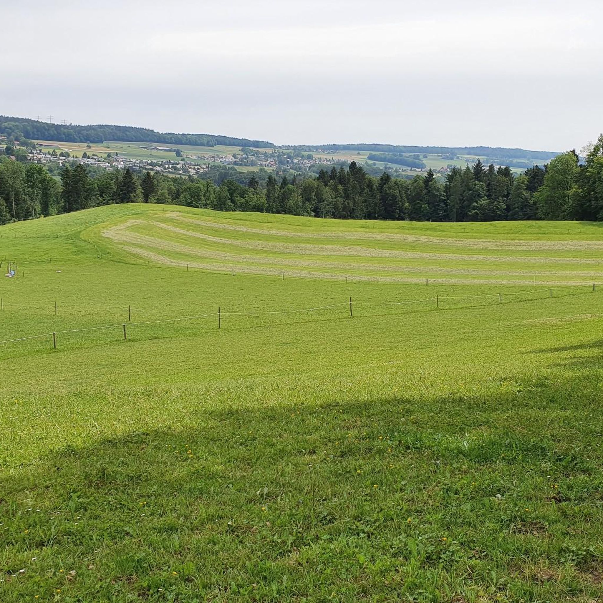
A beautifully situated picnic spot with a magnificent view down into the Limmattal. The quiet location and the wide view make this place a perfect spot for a short rest. Especially in the early morning, when the landscape slowly awakens and a pleasant tranquility still lies over the valley, it is a wonderful place to pause and enjoy the view.
8
0

Suitable for a smaller group, right next to the forest path, a picnic spot that is very popular. Not only do you have everything you need for a picnic in the woods, but this dreamlike view of the Limmattahl is the crowning glory. Simply beautiful, even if only for a short break.
2
0
I can only confirm that this area is very popular, diverse, and has something for every taste. I was personally amazed at everything you can discover here!
0
0

Frequently Asked Questions
How many running routes are available in Niederrohrdorf?
There are over 20 running routes around Niederrohrdorf, offering a diverse range of natural landscapes for various running preferences. These include easy, moderate, and challenging options.
Are there easy running routes for beginners in Niederrohrdorf?
Yes, Niederrohrdorf offers several easy running routes perfect for beginners. There are 6 easy routes, such as the Torfmoos loop from Niederrohrdorf, which is 3.1 miles (5.0 km) long and explores local moorland and forested areas.
What options are available for long-distance running near Niederrohrdorf?
For those seeking longer distances, Niederrohrdorf has several routes, including one difficult route and 15 moderate ones. A challenging option is the Sännenberg Trail – Rotrisch Trail loop from Niederrohrdorf, which spans over 8.8 miles (14.2 km) with significant elevation gain.
Can I find running routes with scenic viewpoints in Niederrohrdorf?
Absolutely! The region is known for its scenic beauty. The View to the Boll loop from Niederrohrdorf is a popular 5.1-mile (8.2 km) trail specifically designed to offer varied terrain with excellent scenic viewpoints.
Are there family-friendly running paths in Niederrohrdorf?
Many of the easier and shorter routes in Niederrohrdorf are suitable for families. These paths often feature accessible terrain through forests and along gentle hills, providing a pleasant experience for all ages. Consider routes like the Running loop from Niederrohrdorf for a straightforward and enjoyable run.
Are dogs allowed on the running routes in Niederrohrdorf?
Generally, dogs are welcome on the running routes around Niederrohrdorf, especially in natural areas. However, it's always recommended to keep them on a leash, particularly in forested sections or near agricultural land, and to clean up after them.
What kind of terrain can I expect on the running trails around Niederrohrdorf?
The running trails in Niederrohrdorf offer a diverse mix of terrain. You can expect accessible paved paths, natural forest trails, and sections with gentle hills. Some more challenging routes may require sure-footedness, but there are options for all preferences.
Are there circular running routes in Niederrohrdorf?
Yes, many of the running routes in Niederrohrdorf are circular, allowing you to start and end at the same point. Examples include the Torfmoos loop and the View to the Boll – Stone Cairns in Mühlibächli loop, making planning your run convenient.
What do other runners enjoy most about jogging in Niederrohrdorf?
The running routes in Niederrohrdorf are highly rated by the komoot community, with an average score of 5.0 stars from over 8 reviews. Runners often praise the diverse natural landscapes, the variety of terrain, and the well-maintained paths that cater to different ability levels.
Are there any natural attractions or landmarks to see along the running routes?
Yes, the region around Niederrohrdorf boasts several natural attractions. You might encounter beautiful waterfalls like the Waterfall on the Chräenbach or the Tägerig Waterfalls. There are also interesting cave formations nearby, such as the Walhalla Cave and Picnic Area, offering unique sights during your run.
Is public transport available to access the running trails in Niederrohrdorf?
Niederrohrdorf is generally well-connected within Switzerland's public transport network. While specific stops for each trail vary, you can typically reach the vicinity of many starting points by bus or train, making it convenient to access the running routes without a car.
Are there places to park near the jogging routes in Niederrohrdorf?
Yes, for those arriving by car, there are usually parking facilities available in and around Niederrohrdorf, often near village centers or designated trailheads. It's advisable to check local signage for specific parking regulations and availability before your run.
Most popular routes around Niederrohrdorf
Most popular attractions around Niederrohrdorf

Get inspired with the komoot mobile app


Explore more
Browse the best Running Trails & Routes in other regions.
